The best mountain hikes around Okondo
4.0
(1)
18
hikers
3
hikes
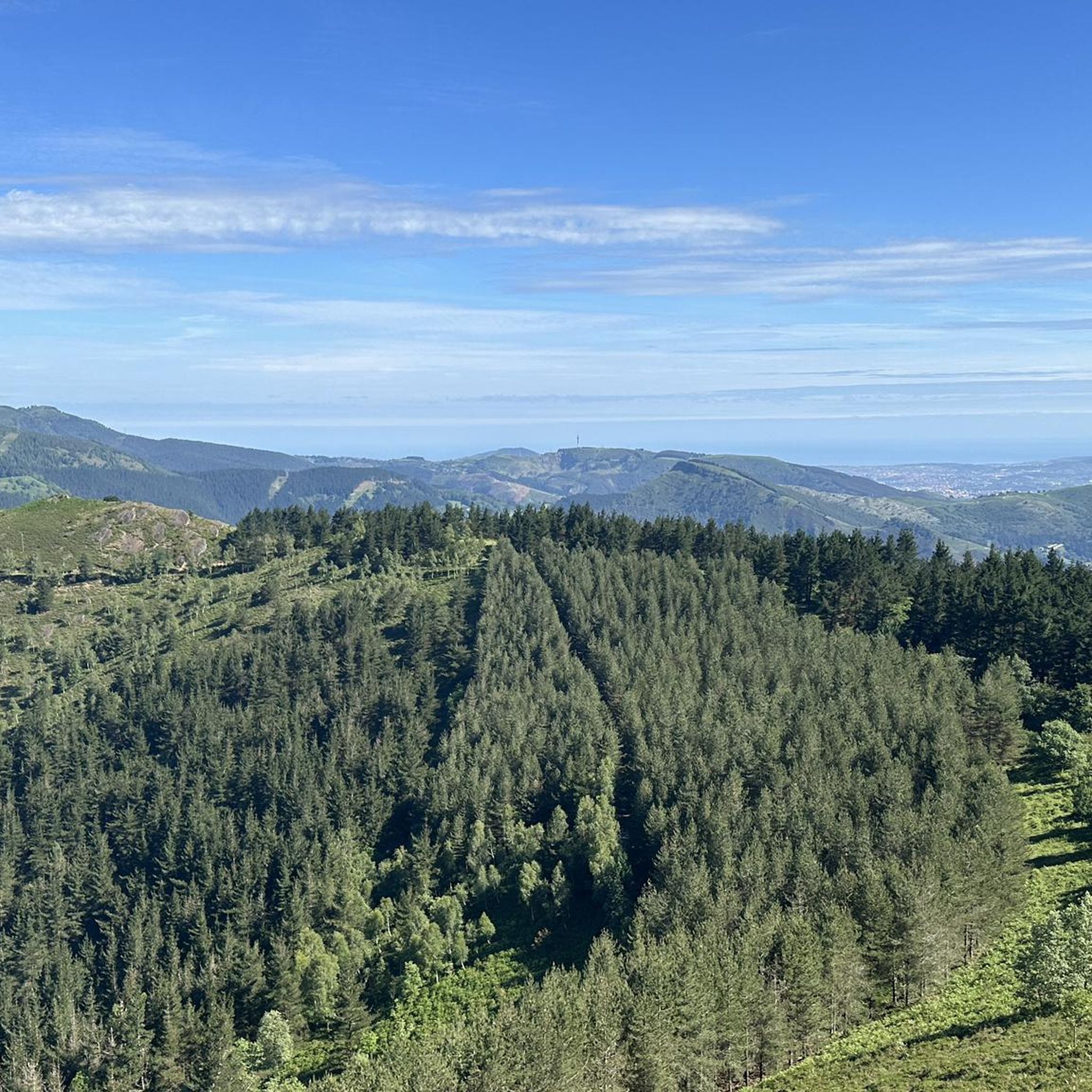
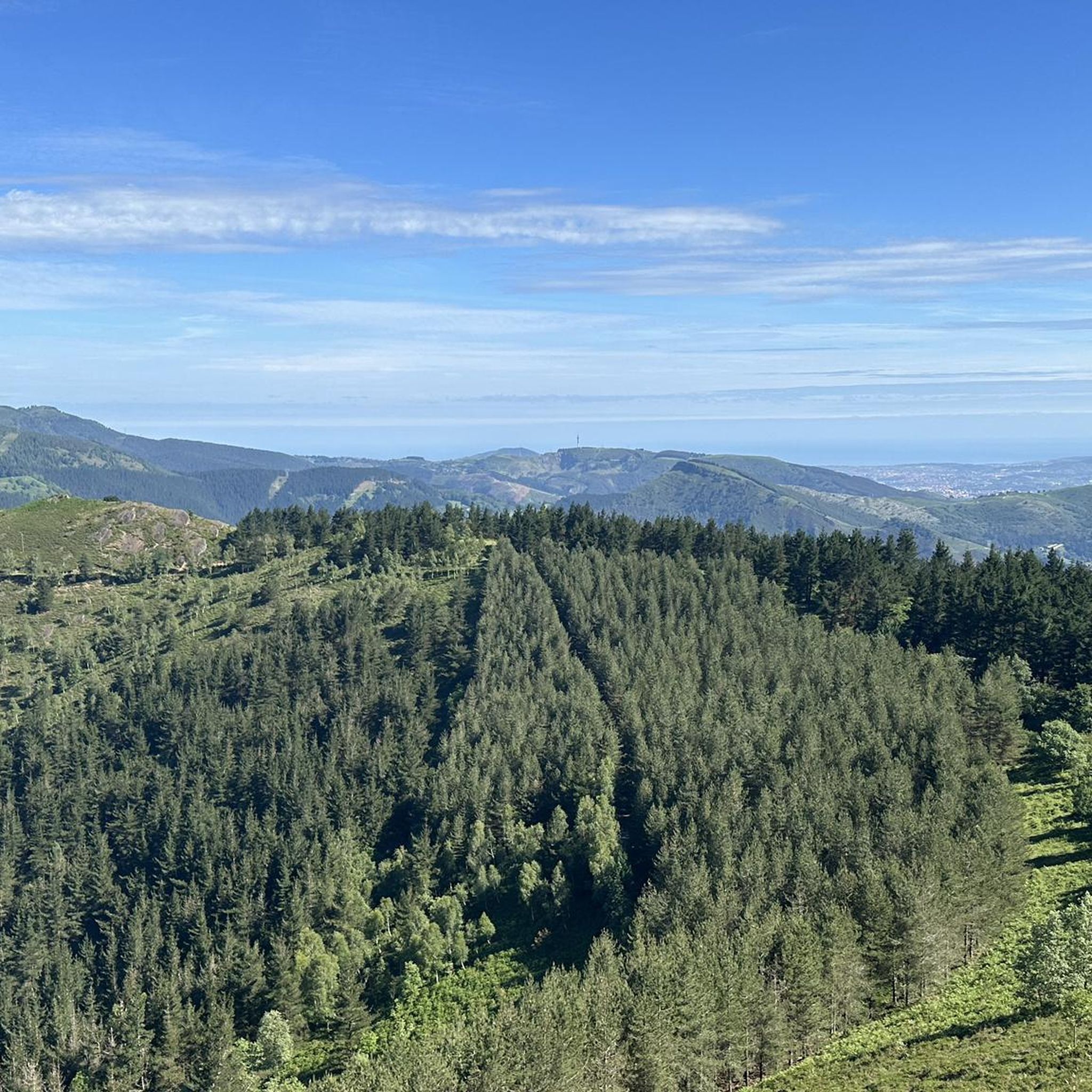
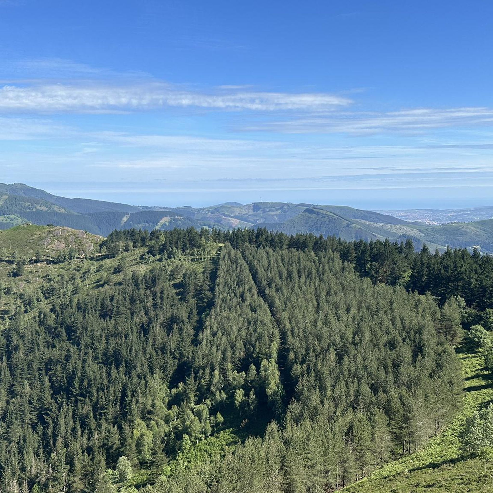
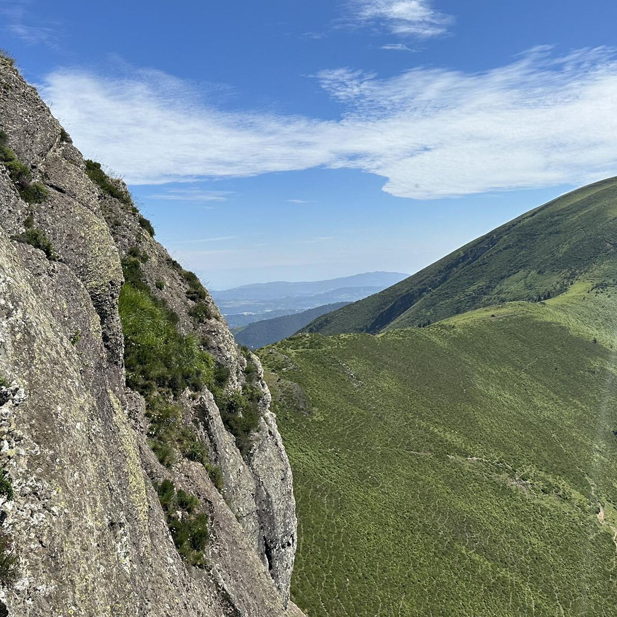
Mountaineering routes around Okondo are situated within a valley in the Basque Country of northern Spain, characterized by its forested mountains. The region offers a scenic backdrop for outdoor activities, with the town itself nestled in the Río Itzalde valley. While not a renowned mountaineering hub, Okondo provides access to a mountainous, forested environment suitable for general outdoor pursuits.
Best mountaineering routes around Okondo
- The most popular mountaineering route is Ganeran Summit – Gasteran Peak loop from Larreinetako funikularraren geltokia…
Last updated: July 5, 2026
4.0
(1)
11
hikers
Hard mountaineering route. Very good fitness required. Mostly accessible paths. Sure-footedness required.
5
hikers
16.1km
05:17
710m
710m
Hard mountaineering route. Very good fitness required. Easily-accessible paths. Suitable for all skill levels.

Sign up for free
2
hikers
Moderate mountaineering route. Good fitness required. Mostly accessible paths. Sure-footedness required.
Our route recommendations are based on thousands of hikes, rides, and runs completed by other people on komoot.
Start today with a free account
Your next adventure awaits.
Login or Signup

Tips from the Community

Of all the surrounding peaks, this is the most comfortable.
1
0

Telecommunications antennas next to the mailbox. This peak is included in the catalogue of Centenary Peaks of Euskal Herria. However, its fame goes to its neighbour Pagasarri.
0
0
Recognized as a top choice for fans in Bilbao and its surroundings.
0
0
Summit listed in the Catalogue of Centenaries
0
0

Beautiful place to take a break and nice with all those steep hills
12
0

Very easy and quite enjoyful hike with great view of Bilbao city at several point that reaches the top at a great spot to have a snack. Beautiful return through a different path across a pine tree forest and small trek to Gangoiti and Atxarte peaks.
0
0
Frequently Asked Questions
What kind of terrain can I expect on mountaineering routes around Okondo?
Mountaineering routes in the Okondo area are characterized by forested mountains and valley paths, offering a scenic backdrop for outdoor activities. The region, situated in the Basque Country, features varied elevation changes suitable for different ability levels.
Are there any easy or moderate mountaineering routes in Okondo?
While many routes are challenging, there is at least one moderate mountaineering route available: the Kamaraka – Mugarriluze loop from Ermuko Andre Mariaren santutegia. This 4.5-mile (7.3 km) trail leads through forested mountain slopes and can be completed in about 2 hours 37 minutes.
What are some of the more challenging mountaineering routes near Okondo?
For those seeking a challenge, the Ganeran Summit – Gasteran Peak loop from Larreinetako funikularraren geltokia is a difficult 10.8-mile (17.4 km) trail with significant elevation gain. Another demanding option is the Ganekondo / Gastarriaga – Ganekogorta loop from Bilbao Arena, a 10.1-mile (16.3 km) path offering substantial ascents and panoramic views.
Are the mountaineering routes around Okondo typically circular?
Yes, many of the mountaineering routes in the Okondo area are designed as loops, allowing you to start and finish at the same point. For example, the Pagasarri Picnic Area – Mount Pagasarri loop from Ametzola is a difficult 10.0-mile (16.1 km) route that offers a circular experience.
What do other mountaineers say about the routes in Okondo?
The routes in Okondo are highly rated by the komoot community, with an average score of 4.0 stars from over 3 reviews. More than 27 mountaineers have used komoot to explore Okondo's varied terrain, often praising the scenic forested mountains and diverse challenges.
Are there any notable natural landmarks or summits to see near the routes?
Yes, the region offers several natural landmarks. You can find summits like Ganekogorta Summit, Apuko Summit (469 m), and Eretza Summit (887 m). There's also the Maroño Reservoir, offering a different natural feature.
Can I find mountain passes in the vicinity of Okondo?
Yes, the area around Okondo features several mountain passes. Notable ones include Alto de Humaran, ColladoPastorekorta, and Mandabide Mountain Pass. You can also find viewpoints like the View of Orduña Pass.
What is the general elevation gain for mountaineering routes in Okondo?
The elevation gain varies significantly depending on the route. For instance, the Kamaraka – Mugarriluze loop has an elevation gain of approximately 387 meters, while more difficult routes like the Ganekondo / Gastarriaga – Ganekogorta loop can involve over 900 meters of ascent.
How many mountaineering routes are available in the Okondo area?
There are a total of 4 mountaineering routes detailed for the Okondo area, offering a range of difficulties from moderate to difficult.
What is the typical duration for completing a mountaineering route in Okondo?
Route durations vary based on distance and difficulty. Shorter, moderate routes like the Kamaraka – Mugarriluze loop can take around 2 hours 37 minutes, while longer, difficult routes such as the Ganeran Summit – Gasteran Peak loop may require over 5 hours.
Most popular attractions around Okondo

Get inspired with the komoot mobile app


Explore more
Browse the best Mountain Hikes & Routes in other regions.
