The best mountain hikes around San Germano Chisone
4.0
(1)
25
hikers
3
hikes
Mountaineering around San Germano Chisone, located in Italy's Piedmont region, offers diverse and accessible mountainous terrain within the Val Chisone. The area features elevations ranging from 436 to 1579 meters, encompassing wooded areas, high pastures, and prominent peaks like Monte Freidour and Monte Rocciacotello. This region is characterized by dramatic mountains, gorges, and extensive trail networks, providing varied landscapes for mountaineering routes.
Best mountaineering routes around San Germano Chisone
- The most popular mountaineering route is Monte Cucetto – Punta dell'Aquila…
Last updated: October 7, 2026
20
hikers
4.84km
01:29
130m
130m
Hard mountaineering route. Great for any fitness level. Sure-footedness, sturdy shoes and alpine experience required.
3
hikers
16.0km
07:49
1,180m
1,180m
Hard mountaineering route. Very good fitness required. Sure-footedness, sturdy shoes and alpine experience required.

4.0
(1)
2
hikers
5.58km
01:41
190m
180m
Easy mountaineering route. Great for any fitness level. Easily-accessible paths. Suitable for all skill levels.
Our route recommendations are based on thousands of hikes, rides, and runs completed by other people on komoot.
Start today with a free account
Your next adventure awaits.
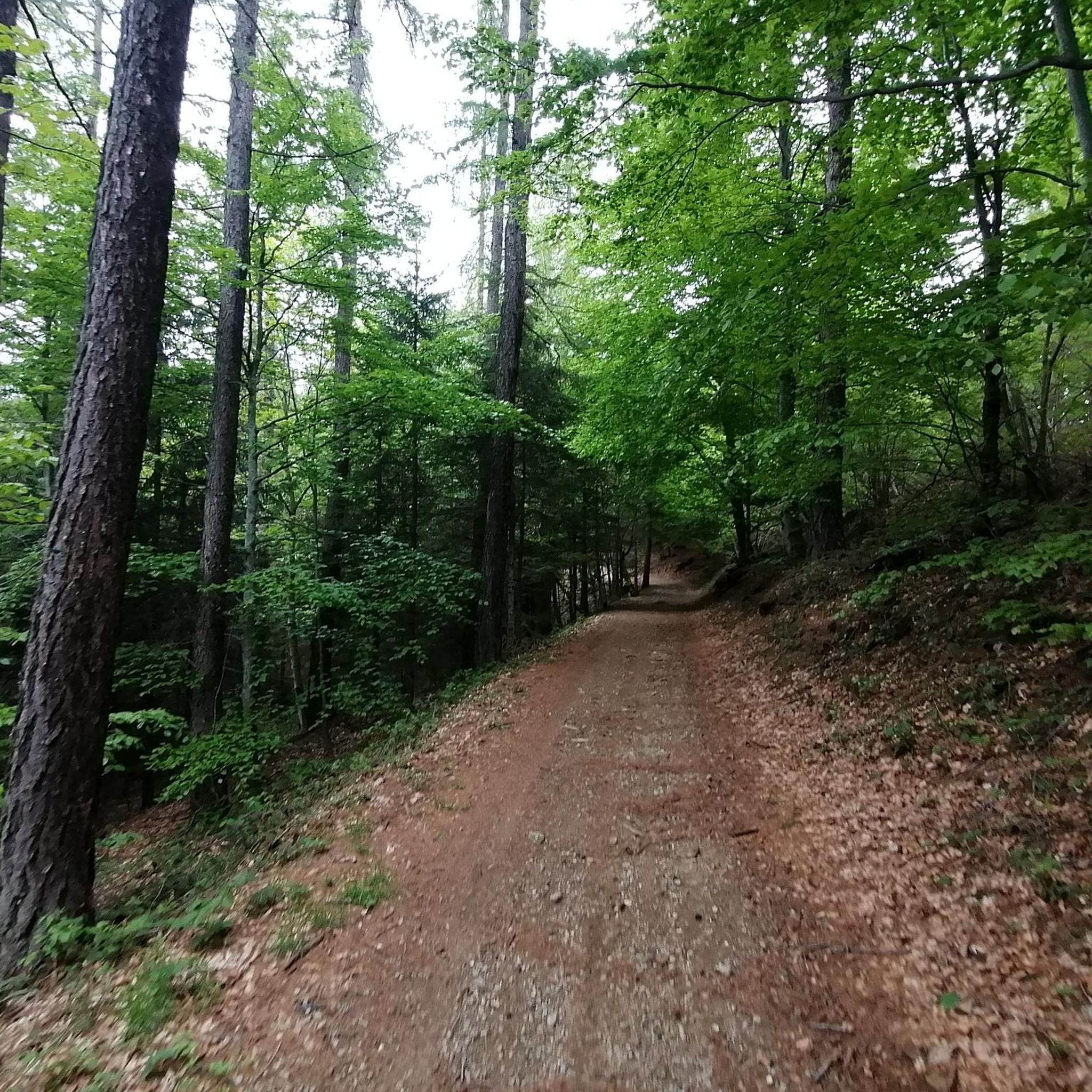
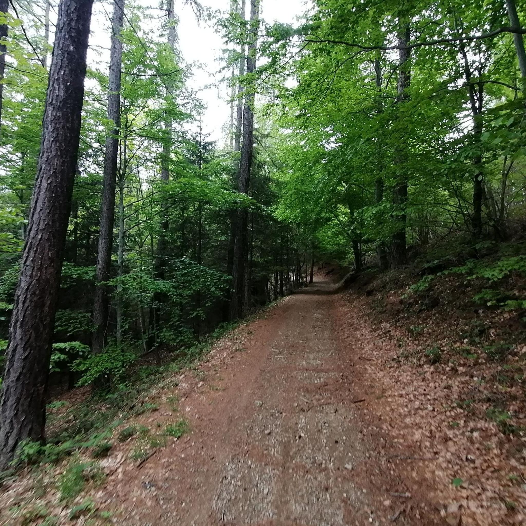
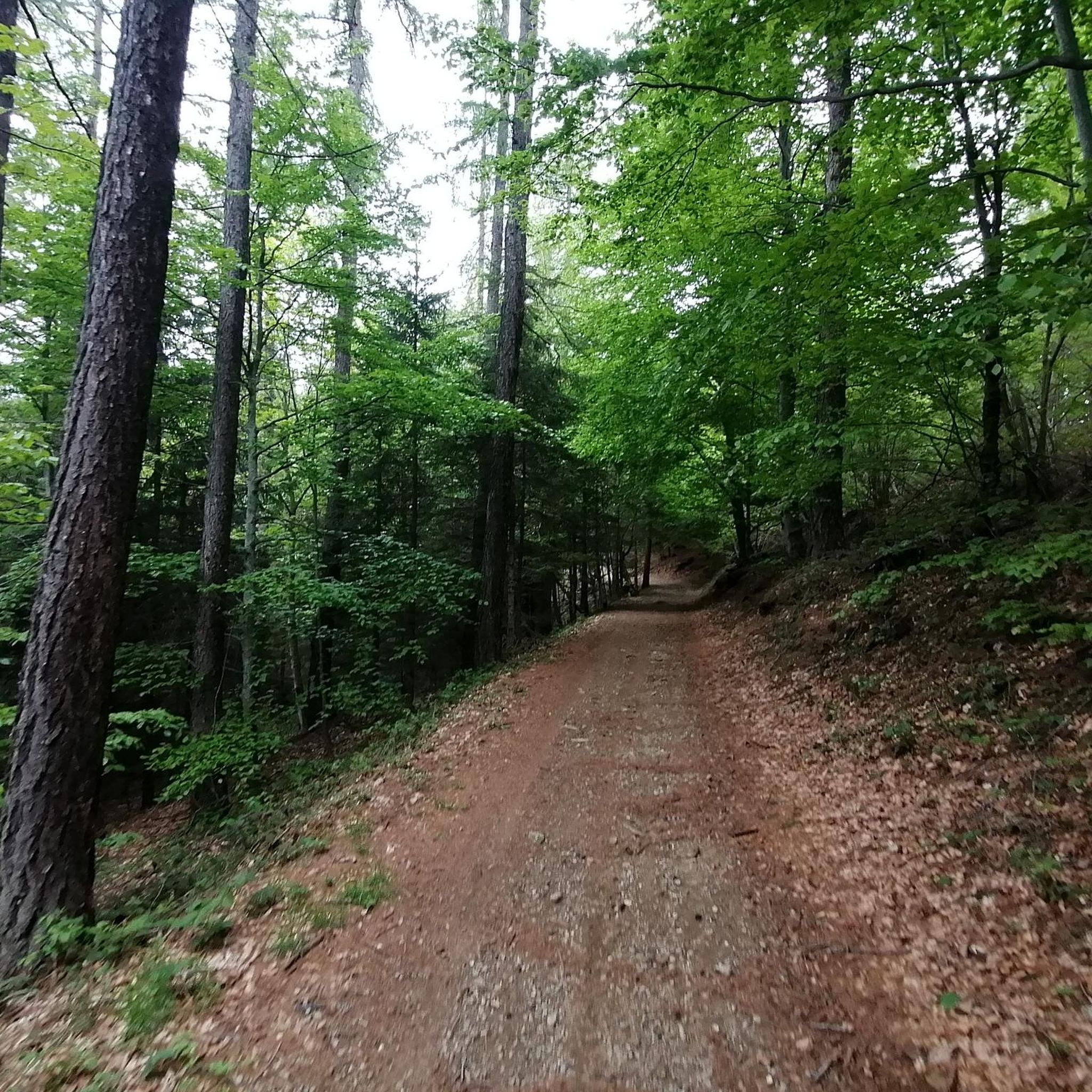
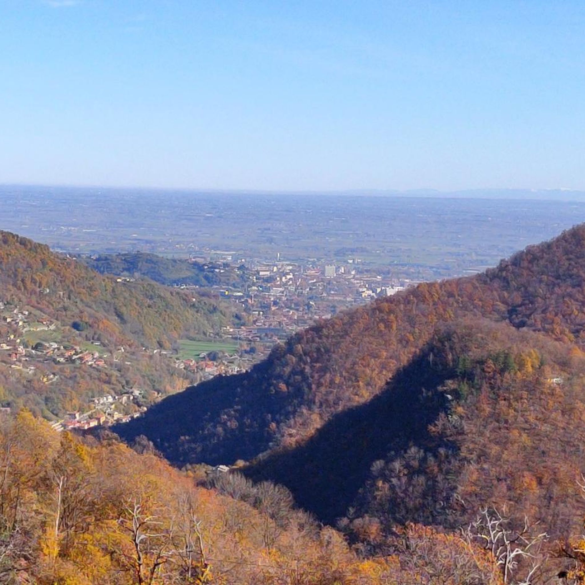

Tips from the Community

Crossroads of paths with beautiful views all around.
0
0

Great refuge, easily accessible to anyone, on foot or by bike.
0
0

Hill near the Melano Refuge (Casa Canada)
0
0
A good starting and arrival point for many trails. You'll be spoiled for choice.
0
0

I don't want to be wrong, but it's not the Lemina, it's the Noce. The Lemina rises and flows further West, near the Dairin hamlet
0
0

beautiful refuge, well worth entering
0
0
Frequently Asked Questions
What types of terrain can I expect on mountaineering routes around San Germano Chisone?
Mountaineering routes in San Germano Chisone offer a diverse range of terrain. You'll find everything from wooded areas with majestic beech and cedar trees to high pastures and prominent peaks. The region is characterized by dramatic mountains, gorges, and extensive trail networks, providing varied landscapes for exploration.
Are there any easy mountaineering routes suitable for beginners or those seeking a less strenuous experience?
Yes, there are routes suitable for various ability levels. For an easier option, consider the Colle del Crò loop from Crò. This route is approximately 5.56 km long with about 189 meters of elevation gain, making it a good choice for a less demanding mountaineering experience.
Which routes offer the best panoramic views of the region?
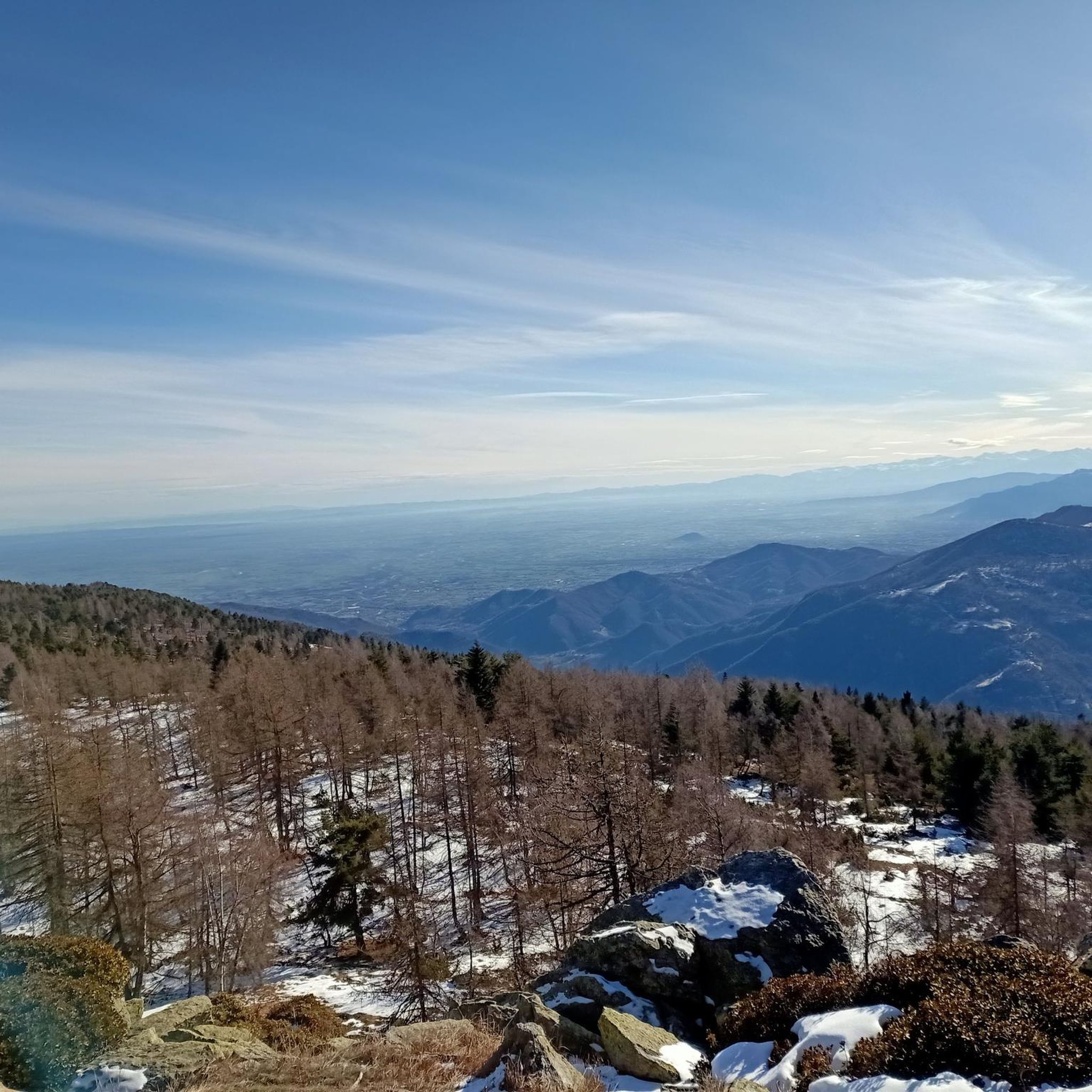
For breathtaking panoramic views, the Monte Cucetto – Punta dell'Aquila Summit Cross loop from Rocceria is highly recommended. This challenging route offers extensive views, including across the Turin plain, from Punta dell'Aquila.
Are there any mountain huts or shelters along the routes in San Germano Chisone?
Yes, the region has several mountain huts that can serve as resting points or shelters. A popular and family-friendly spot is the Melano Mountain Hut (Casa Canada), known for its welcoming atmosphere and panoramic views. Other huts in the vicinity include Jumarre Hut and Rifugio Al Pino.
What are some notable mountain passes or peaks to explore in the area?
San Germano Chisone is rich in mountain passes and summits. Colle Vaccera is a popular pass offering excellent panoramic views, while Colle del Crò features a steep ascent with rewarding scenery. For peaks, Monte Freidour and Punta dell'Aquila are significant summits offering diverse experiences.
Are there any circular mountaineering routes available?
Yes, several routes are designed as loops. Examples include the Melano Mountain Hut (Casa Canada) – Ciardonet Pass loop from Crò, the Monte Vandalino loop from Serre, and the Monte Cucetto – Punta dell'Aquila Summit Cross loop from Rocceria. These circular routes allow you to start and finish at the same point without retracing your steps.
What is the best time of year for mountaineering in San Germano Chisone?
The best time for mountaineering in San Germano Chisone generally depends on the specific route and your experience level. Spring and autumn often offer pleasant temperatures and vibrant scenery. Summer provides longer daylight hours, but higher elevations can still be challenging. Winter mountaineering is possible but requires specific gear and expertise due to snow and ice conditions.
Are there any routes that explore the unique woodlands of the region?
Yes, the slopes of Monte Freidour are particularly known for their extensive woodlands, covered mainly by beech and birch trees. While not explicitly listed as a route in the provided data, exploring trails in this area will immerse you in the scenic beauty of these forests.
What is the typical duration for a moderate mountaineering route in this area?
A moderate mountaineering route like the Monte Vandalino loop from Serre, which covers about 8.02 km with 803 meters of elevation gain, typically takes around 4 hours and 17 minutes to complete. Durations can vary based on individual fitness and pace.
How many mountaineering routes are available in San Germano Chisone?
There are several mountaineering routes available around San Germano Chisone, offering diverse experiences for different skill levels. Komoot currently lists 4 distinct routes in this guide, ranging from easy to difficult.
Most popular routes around San Germano Chisone
Most popular attractions around San Germano Chisone

Get inspired with the komoot mobile app


Explore more
Browse the best Mountain Hikes & Routes in other regions.
