The best mountain hikes around Bussoleno
38
hikers
6
hikes
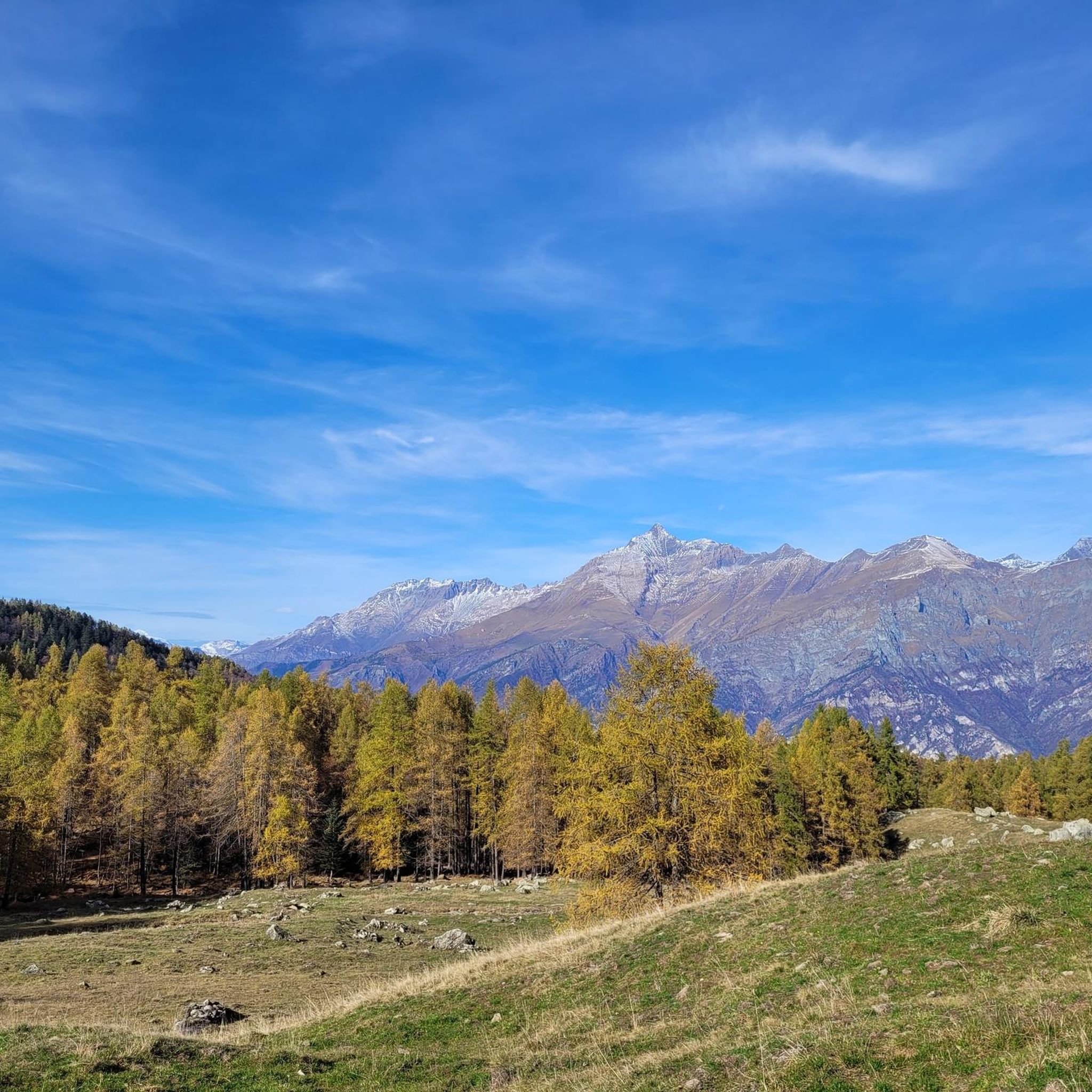
Mountaineering routes around Bussoleno are situated in Italy's Susa Valley, characterized by stunning alpine landscapes and access to significant natural parks. The region serves as a gateway to areas like Parco Nazionale Gran Paradiso, Nature Park Orsiera Rocciavre, and the Orrido di Foresta nature reserve. Majestic peaks, including Rocciamelone, define the terrain, offering challenging ascents amidst intensely-verdant fields and high, rolling mountains. This area provides a diverse environment for alpine exploration.
Best mountaineering routes around Bussoleno
- The most popular mountaineering route is Rifugio Ca' d'Asti – Rocciamelone (3,538 m) loop from Rocciamelone, a difficult 6.7 miles (10.8 km) trail that takes 7 hours 14 minutes to complete. This route leads to Rocciamelone, a prominent peak and the highest pilgrimage site in the Alps.
- Another top favourite among local mountaineers is Jouglard bivouac – Selleries Hut loop from Grange, a moderate 6.5 miles (10.5 km) path. This loop explores the Cottian Alps, passing by a bivouac and a mountain hut.
- Local mountaineers also love the Via Ferrata des Cascades loop from Novalesa, a 2.0 miles (3.2 km) trail leading through a via ferrata, often completed in about 1 hour 56 minutes.
- Mountaineering around Bussoleno is defined by alpine landscapes, majestic peaks, and verdant valleys within natural parks. The network offers options for both challenging ascents and moderate explorations.
- The routes in Bussoleno are highly rated by the komoot community with an average score of 4.75 stars from over 4 reviews. More than 100 mountaineers have used komoot to explore Bussoleno's varied terrain.
Last updated: October 7, 2026
12
hikers
10.4km
03:26
490m
490m
Moderate mountaineering route. Good fitness required. Easily-accessible paths. Suitable for all skill levels.
11
hikers
3.17km
01:56
270m
270m
Hard mountaineering route. Great for any fitness level. Sure-footedness, sturdy shoes and alpine experience required.

6
hikers
4.38km
03:14
620m
610m
Hard mountaineering route. Good fitness required. Sure-footedness, sturdy shoes and alpine experience required.
6
hikers
14.9km
06:49
1,080m
1,080m
Hard mountaineering route. Very good fitness required. Sure-footedness, sturdy shoes and alpine experience required.
6
hikers
8.81km
05:04
900m
900m
Hard mountaineering route. Very good fitness required. Sure-footedness, sturdy shoes and alpine experience required.
Our route recommendations are based on thousands of hikes, rides, and runs completed by other people on komoot.
Start today with a free account
Your next adventure awaits.
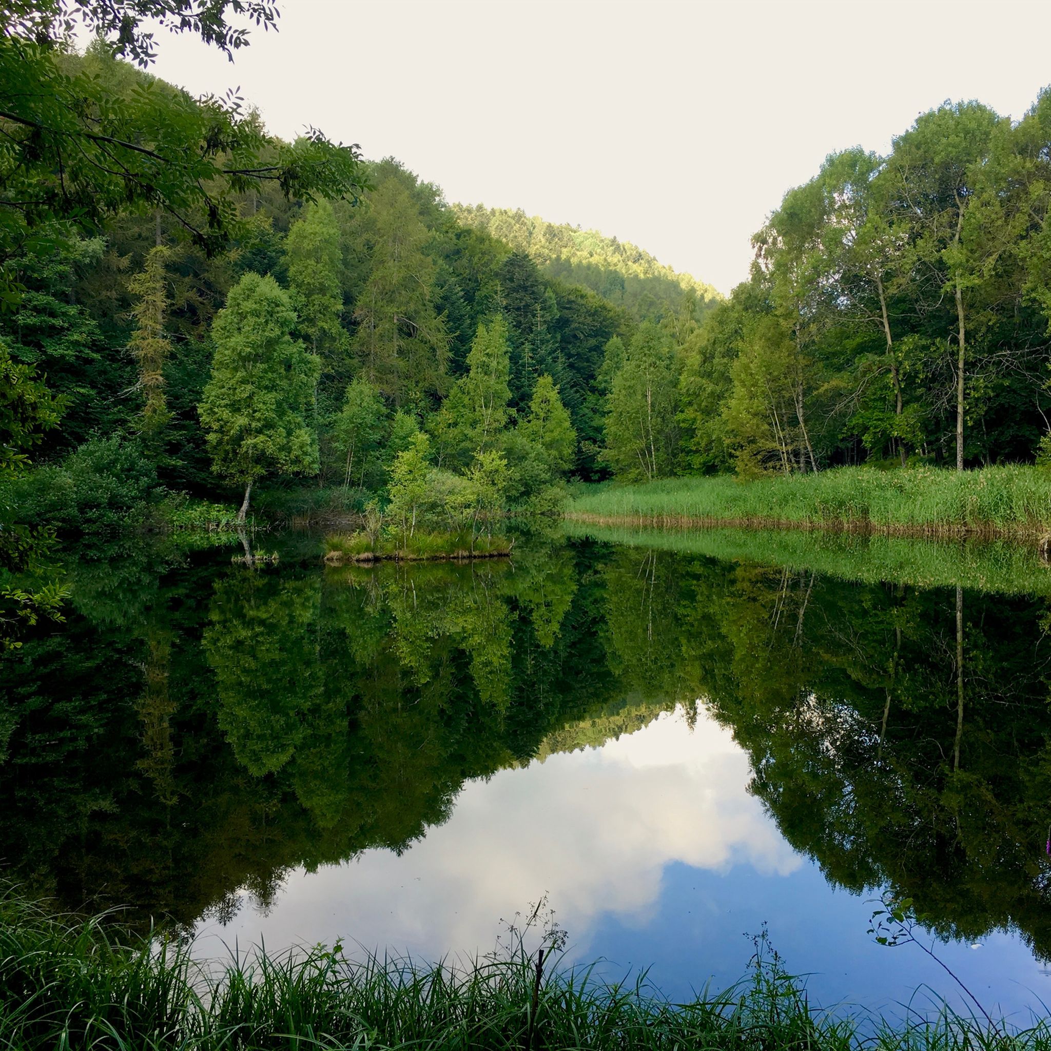
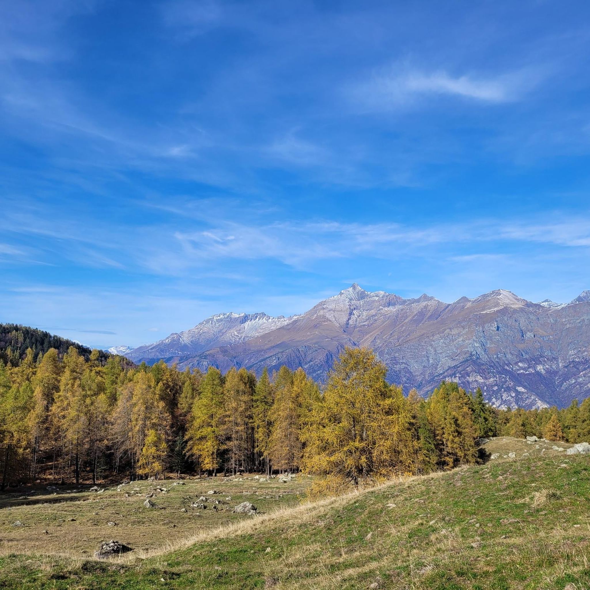
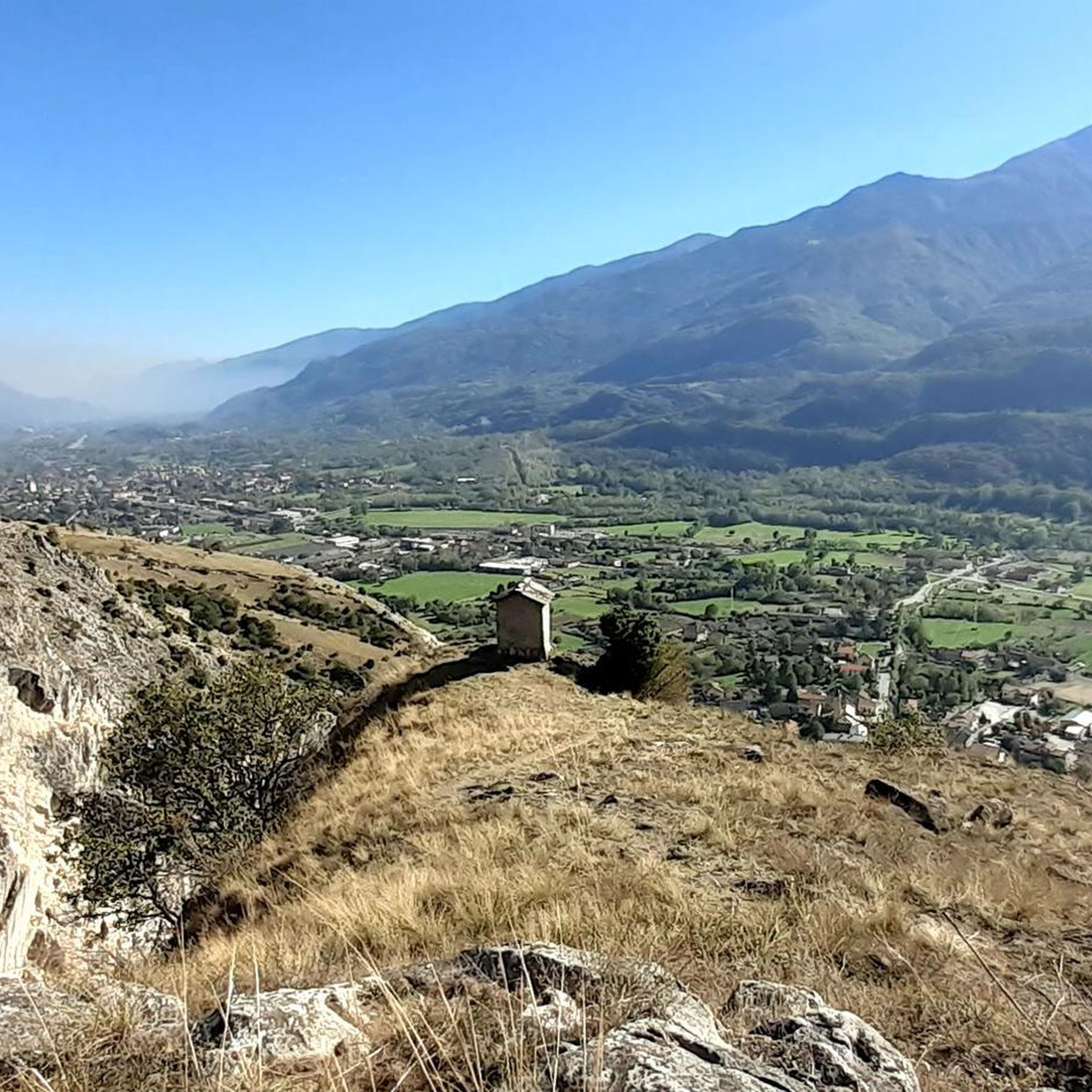

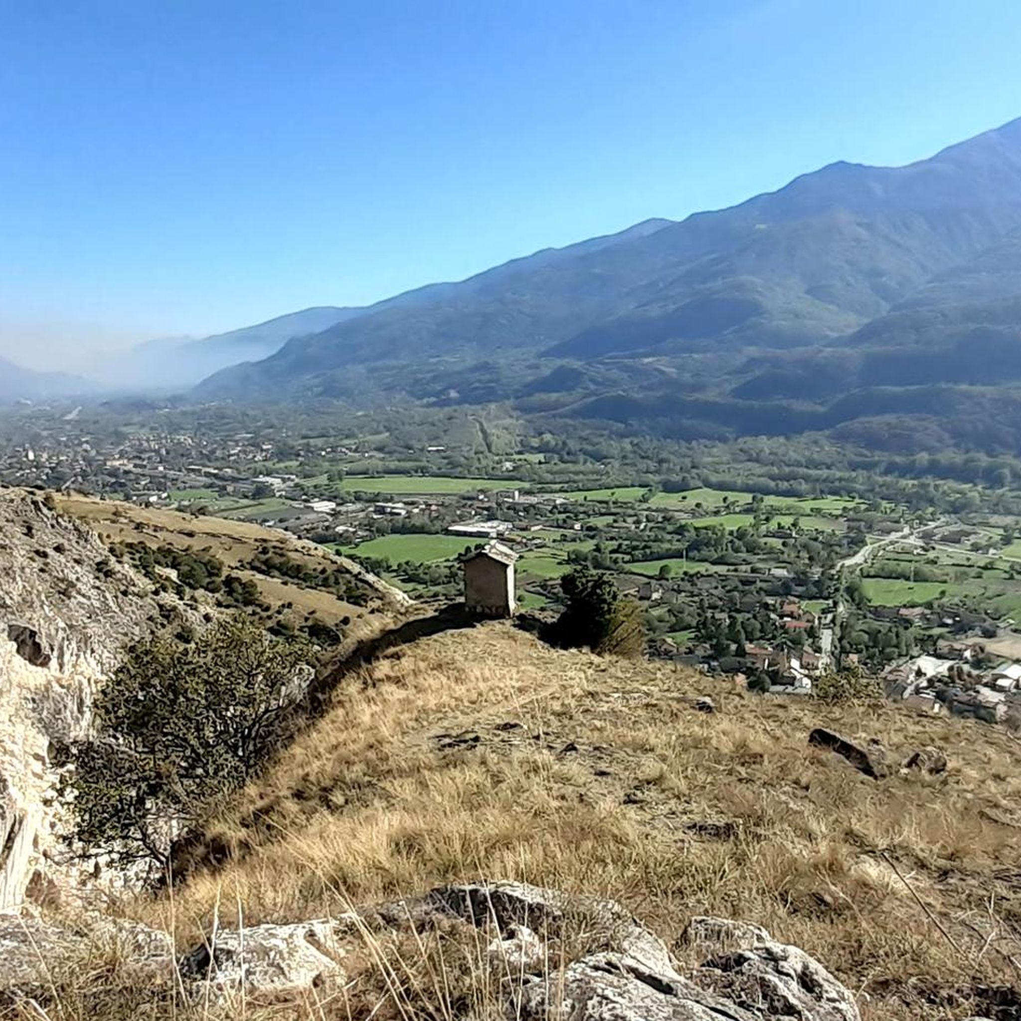
Tips from the Community

beautiful refuge in the Selleries valley
0
0

This refuge is managed and open only during the summer months. It's possible to stop for a break when climbing to the summit of Rocciamelone. It's located approximately halfway between La Riposa and Rocciamelone.
0
0

The Selleries refuge is located in the municipality of Roure (TO), in the Chisone valley, in the Cottian Alps, at 2,035 m above sea level. It can be easily reached by mountain bike from the paved road, but also on foot. The craft beers are excellent.
0
0

Massimo is one of the best and kindest refugee managers I have ever met.
1
0

Accessible from multiple directions, both on asphalt and trail. Ideal stopping point
1
0

in case of snow be careful not to lose the path
0
0
landing place for beginners, or a useful support point to break the climb in 2
0
0

Frequently Asked Questions
What kind of mountaineering routes can I expect around Bussoleno?
Bussoleno, located in Italy's Val di Susa, offers a range of mountaineering experiences from challenging ascents to moderate explorations. The region is characterized by stunning alpine landscapes, majestic peaks like Rocciamelone, and access to significant natural parks such as Orsiera-Rocciavrè. You'll find routes that traverse intensely verdant fields and high, rolling mountains.
Are there any beginner-friendly mountaineering routes in the area?
While many routes around Bussoleno are considered difficult, there is a moderate option available. The Jouglard bivouac – Selleries Hut loop from Grange is a moderate 10.5 km path that explores the Cottian Alps, passing by a bivouac and a mountain hut. This could be a good starting point for those looking for a less strenuous mountaineering experience.
What are some of the most challenging mountaineering routes near Bussoleno?
For experienced mountaineers, the Rifugio Ca' d'Asti – Rocciamelone (3,538 m) loop from Rocciamelone is a difficult 10.8 km trail leading to Rocciamelone, a prominent peak and the highest pilgrimage site in the Alps. Another challenging option is the Via Ferrata des Cascades loop from Novalesa, a 3.2 km route that includes a via ferrata section.
Are there any circular mountaineering routes around Bussoleno?
Yes, several routes are designed as loops. For a challenging circular route, consider the Rifugio Ca' d'Asti – Rocciamelone (3,538 m) loop from Rocciamelone. A moderate circular option is the Jouglard bivouac – Selleries Hut loop from Grange. There are also two difficult loops around Lago della Manica: Lago della Manica – Colle Superiore di Malanotte loop from Parco Naturale Orsiera-Rocciavrè and Lago della Manica – Colle Superiore di Malanotte loop from Cianfulcre.
What is the best time of year for mountaineering in Bussoleno?
The region is generally best explored during the warmer months when trails are clear of snow. For ascents like Rocciamelone, early morning starts are recommended to avoid afternoon cloud cover. Some mountain huts, like Rifugio Toesca, operate year-round with daily openings in summer, indicating good conditions during this period.
Are there mountain huts available for overnight stays or refreshments along the routes?
Yes, the area around Bussoleno is well-equipped with mountain huts. Notable options include the Amprimo Mountain Hut, which is easily accessible and family-friendly, and the Toesca Hut, located in the Orsiera-Rocciavrè Natural Park and open year-round. The Selleries Hut in the Cottian Alps is also a popular spot, known for its craft beers.
What natural attractions or landmarks can I see while mountaineering near Bussoleno?
The region is rich in natural beauty. You can explore the extensive Orsiera-Rocciavrè Natural Park, known for its glacial lakes and diverse Alpine wildlife. The emerald green waters of Lake Laux are also a highlight. For those interested in geological features, there are several caves, including the Pera Furà Millstone Cave and Le Voute Caves.
Are there any historical or cultural points of interest near the mountaineering trails?
Beyond the natural landscapes, Bussoleno and its surroundings offer interesting historical sites. You can find medieval structures in Bussoleno itself, such as Casa Aschieris and the ruins of Castello Borello. The nearby village of Usseaux is famous for its historic 18th-century buildings adorned with murals. The 13th-century Castello di Chianocco, now housing the Museum of Ancient Crafts, and the ancient Abbey of Novalaise are also worth visiting.
What do other mountaineers say about the routes around Bussoleno?
The mountaineering routes around Bussoleno are highly rated by the komoot community, with an average score of 4.75 stars. Mountaineers often praise the stunning alpine landscapes, the challenging yet rewarding ascents, and the diverse environment for alpine exploration within the natural parks.
Is there a via ferrata route available in the Bussoleno area?
Yes, for those interested in via ferrata, the Via Ferrata des Cascades loop from Novalesa is a popular option. This 3.2 km trail leads through a via ferrata and can typically be completed in under two hours.
Are there opportunities for wildlife spotting in the natural parks?
The Orsiera-Rocciavrè Natural Park, which covers over 11,000 hectares, is home to diverse Alpine wildlife. Visitors often spot chamois, deer, and roe deer, along with over a hundred bird species. The park's largely untouched habitat provides excellent opportunities for observing animals in their natural environment.
Most popular routes around Bussoleno
Most popular attractions around Bussoleno

Get inspired with the komoot mobile app


Explore more
Browse the best Mountain Hikes & Routes in other regions.
