The best mountain hikes around Piovene Rocchette
5.0
(1)
24
hikers
4
hikes
Mountaineering routes around Piovene Rocchette navigate the rugged terrain of the Vicentine Alps, characterized by significant elevation changes and panoramic viewpoints. The area features a mix of challenging ascents to peaks like Cima Summano and routes through forested slopes. This region offers diverse landscapes for experienced mountaineers seeking demanding trails.
Best mountaineering routes around Piovene Rocchette
- The most popular mountaineering route is Cima Summano loop from Piovene Rocchette, a 6.3 miles (10.1 km) trail that takes 4 hours 42…
Last updated: October 7, 2026
13
hikers
Hard mountaineering route. Good fitness required. Sure-footedness, sturdy shoes and alpine experience required.
7
hikers
14.1km
05:11
770m
770m
Hard mountaineering route. Very good fitness required. Mostly accessible paths. Sure-footedness required.

5.0
(1)
2
hikers
11.4km
03:27
310m
310m
Moderate mountaineering route. Good fitness required. Mostly accessible paths. Sure-footedness required.
2
hikers
9.86km
03:05
250m
250m
Hard mountaineering route. Good fitness required. Sure-footedness, sturdy shoes and alpine experience required.
Our route recommendations are based on thousands of hikes, rides, and runs completed by other people on komoot.
Start today with a free account
Your next adventure awaits.

Tips from the Community

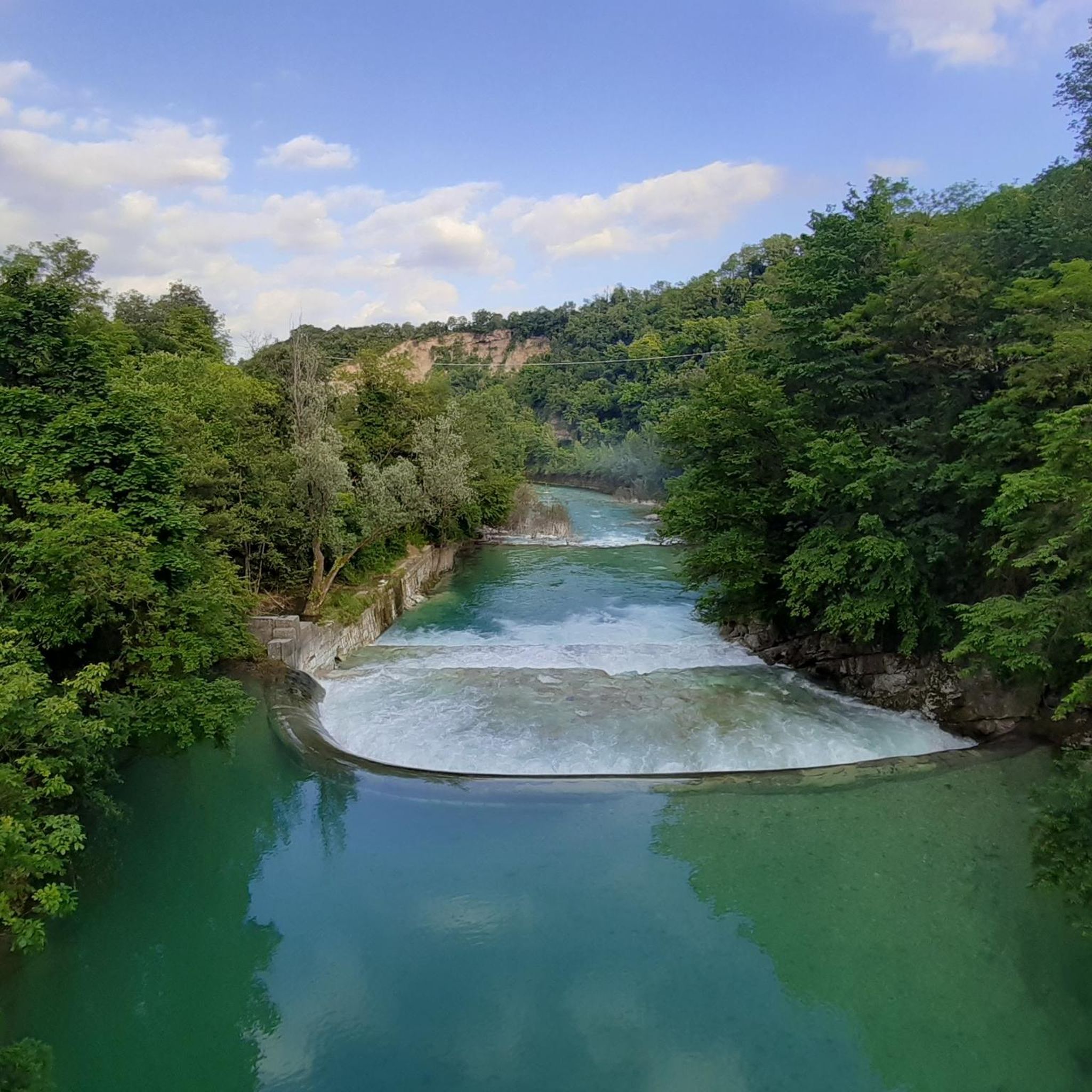
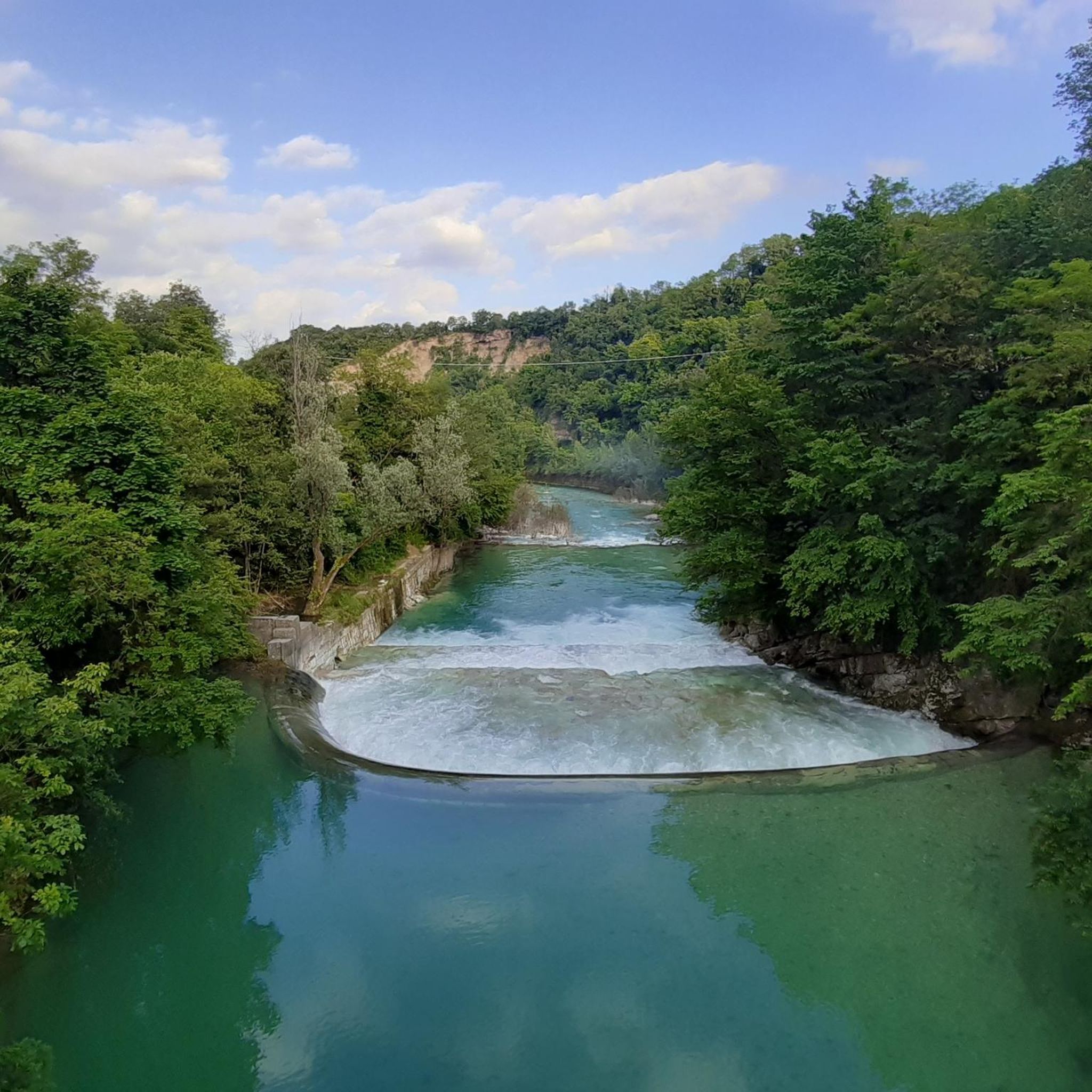
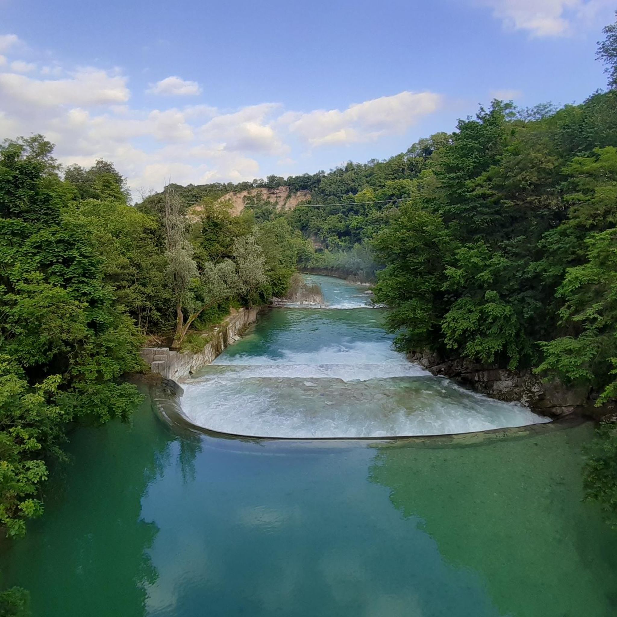
Beautiful view from this point and for a few km further
0
0

Also reachable by bike! Offers a nice view of Busa Novegno.
1
0

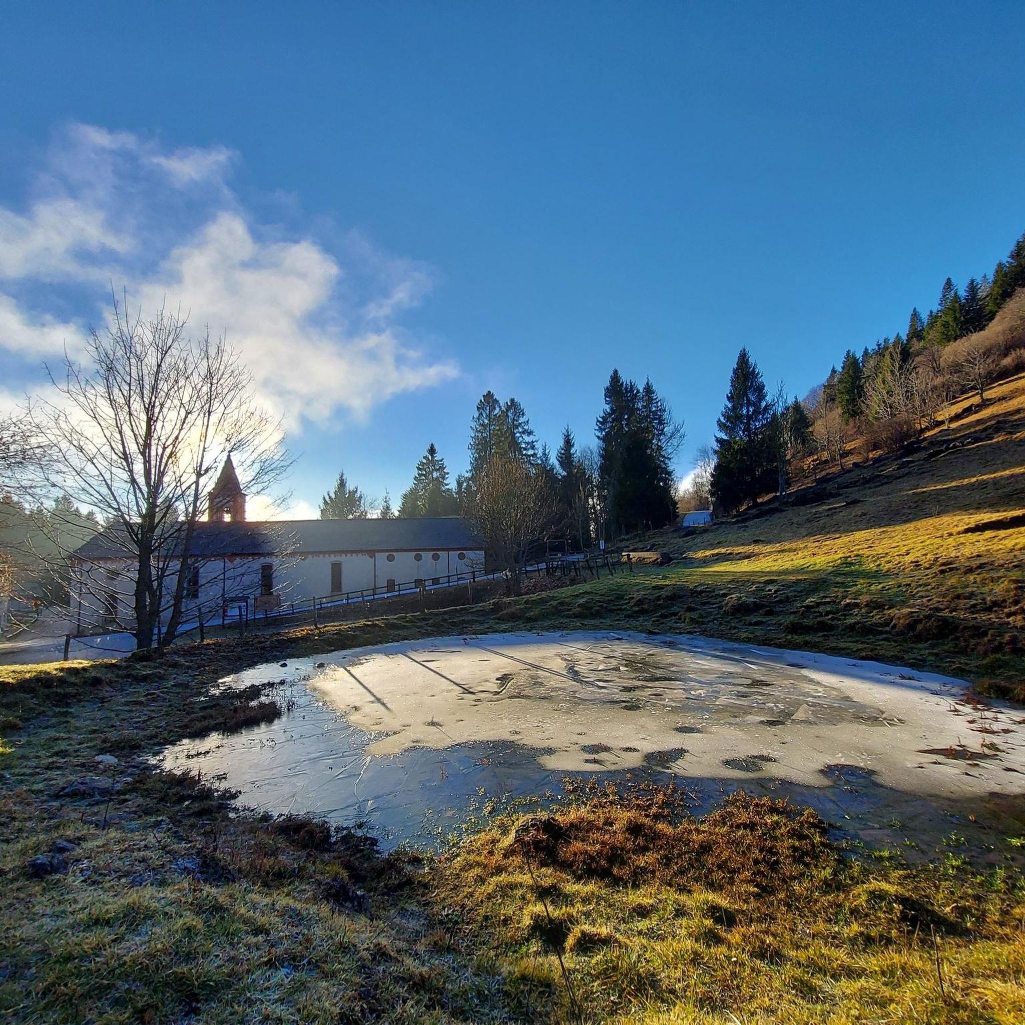
iconic refreshment point
0
0

Panorama of the Po Valley, the Pale di San Martino, the Vette Feltrine, Mount Grappa to the east and the Carega group, Piccole Dolomiti and Pasubio group to the west
0
0

The ancient history of this beautiful panoramic peak.
0
0


Panoramic view, breathtaking
2
1
Very nice view, must see
1
0
Frequently Asked Questions
How many mountaineering routes are available around Piovene Rocchette?
There are 6 distinct mountaineering routes around Piovene Rocchette, offering a range of experiences primarily for moderate to advanced mountaineers.
What is the best season for mountaineering in Piovene Rocchette?
The best season for mountaineering in the Vicentine Alps, including Piovene Rocchette, is typically from late spring to early autumn (May to October). During these months, the weather is generally more stable, and trails are free of snow, making for safer and more enjoyable ascents. Always check local weather forecasts before heading out.
Are there any easy mountaineering routes suitable for beginners?
The mountaineering routes around Piovene Rocchette are generally geared towards experienced individuals, with 4 routes rated as difficult and 2 as moderate. There are no routes specifically classified as easy for beginners in this selection, emphasizing significant elevation changes and rugged terrain.
What are some challenging mountaineering routes for experienced climbers?
For experienced mountaineers seeking a challenge, the Cima Summano loop from Piovene Rocchette is a difficult 6.3-mile trail with substantial elevation gain. Another demanding option is the Cima Summano loop from Santorso, which covers 6.6 miles and features over 1000 meters of ascent.
Are there circular mountaineering routes available?
Yes, many of the mountaineering routes around Piovene Rocchette are circular. For example, you can explore the Pozza Vaccaresse – Arco Priaforà loop from Vicentine Alps, an 8.5-mile route, or the Bocchetta Paù Viewpoint – Carriola Mountain Hut loop from Fondi, a moderate 7.1-mile option.
What kind of terrain can I expect on mountaineering routes near Piovene Rocchette?
The routes navigate the rugged terrain of the Vicentine Alps, characterized by significant elevation changes and panoramic viewpoints. You can expect a mix of challenging ascents to peaks like Cima Summano, forested slopes, and varied mountainous landscapes.
What interesting sights or landmarks can I explore near the mountaineering routes?
The area around Piovene Rocchette is rich in natural and historical sights. You can discover the Priaforà Arch, a natural monument, or explore historical sites like the Gun Emplacement Tunnel of Monte Cengio and the WW1 Command Gallery. For stunning views, consider reaching the Summano Summit Cross.
What equipment is recommended for mountaineering in this region?
Given the rugged terrain and significant elevation changes, it's essential to be well-prepared. Recommended equipment includes sturdy hiking boots with good ankle support, appropriate layers of clothing for varying weather conditions, a backpack with water and snacks, a map or GPS device, and trekking poles for stability on steep ascents and descents. For more challenging routes, consider a helmet and via ferrata kit if applicable to specific sections.
Are the mountaineering routes around Piovene Rocchette family-friendly?
The mountaineering routes in this area are generally not considered family-friendly for young children due to their difficult and moderate ratings, significant elevation gains, and rugged terrain. They are better suited for adults and older, experienced teenagers who are accustomed to challenging mountain environments.
Can I bring my dog on the mountaineering trails?
While many trails in Italy are dog-friendly, it's always advisable to check local regulations for specific routes or protected areas. Given the challenging nature of these mountaineering trails, ensure your dog is fit enough for long distances and significant ascents, and always keep them on a leash, especially in areas with wildlife or livestock.
What do other mountaineers say about the routes in Piovene Rocchette?
The mountaineering routes around Piovene Rocchette are highly rated by the komoot community, with an average score of 5.0 stars from over 2 reviews. Mountaineers often praise the challenging ascents, the rewarding panoramic views of the Vicentine Alps, and the diverse landscapes encountered along the trails.
Are there scenic viewpoints along the routes?
Yes, the mountaineering routes around Piovene Rocchette are known for their panoramic viewpoints. Trails often lead to elevated positions offering expansive views of the Vicentine Alps. The Bocchetta Paù Viewpoint – Carriola Mountain Hut loop from Fondi is specifically highlighted for its scenic vistas.
Most popular routes around Piovene Rocchette
Most popular attractions around Piovene Rocchette

Get inspired with the komoot mobile app


Explore more
Browse the best Mountain Hikes & Routes in other regions.
