The best mountain hikes around Sauwald
5.0
(1)
24
hikers
4
hikes
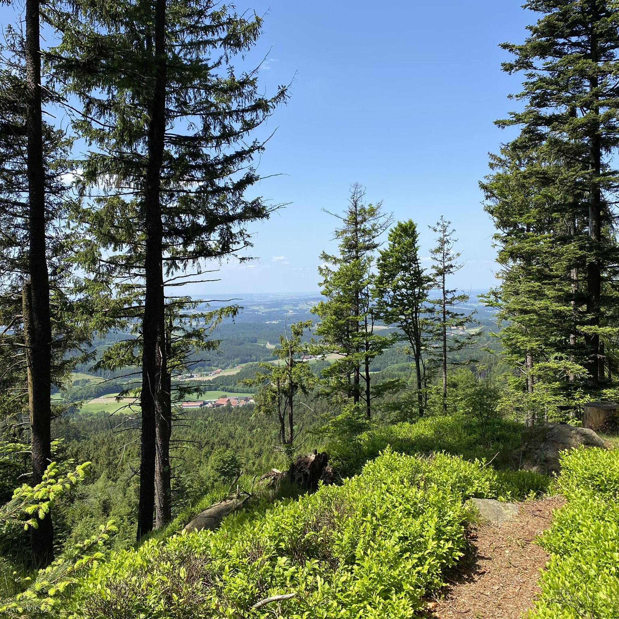
Mountaineering routes around Sauwald traverse a landscape characterized by rolling hills, dense woodlands, and the scenic Danube River valley. The region features varied terrain, including moderate ascents to prominent summits like Haugstein, which offers panoramic views. Sauwald's physical features include a mix of forested paths and open sections, providing diverse conditions for mountaineering.
Best mountaineering routes around Sauwald
- The most popular mountaineering route is Haugstein Summit (895 m) – Vichtenstein Castle loop from Engelhartszell an der Donau, a 7.7…
Last updated: July 4, 2026
8
hikers
Moderate mountaineering route. Good fitness required. Easily-accessible paths. Suitable for all skill levels.
7
hikers
9.76km
02:59
340m
350m
Moderate mountaineering route. Good fitness required. Easily-accessible paths. Suitable for all skill levels.

Sign up for free
5.0
(1)
7
hikers
5.53km
01:40
170m
170m
Easy mountaineering route. Great for any fitness level. Easily-accessible paths. Suitable for all skill levels.
2
hikers
8.54km
02:43
320m
320m
Moderate mountaineering route. Good fitness required. Easily-accessible paths. Suitable for all skill levels.
Our route recommendations are based on thousands of hikes, rides, and runs completed by other people on komoot.
Start today with a free account
Your next adventure awaits.
Login or Signup

Tips from the Community

Maierhof viewpoint with panoramic views of Bavaria.
0
0


Beautiful memorial in the middle of the forest
1
0

The descent to the waterfall is secured with a rope, but is easy to manage with good hiking boots.
1
0

with a bell that you can operate yourself
1
0

A little above the hiking car park there is a bench... sit here, enjoy the peace and the view and simply
1
0
Chapel at the Eidenberger Lusen round trip from Maierhof.
1
0
Frequently Asked Questions
What is the general difficulty of mountaineering routes in Sauwald?
Sauwald offers a range of mountaineering routes, primarily featuring easy and moderate trails. You'll find one easy route and three moderate routes, making it accessible for various skill levels. The landscape includes rolling hills and moderate ascents, suitable for both beginners and those seeking a bit more challenge.
Are there any easy mountaineering routes suitable for beginners or families in Sauwald?
Yes, Sauwald has easy routes perfect for beginners or families. For instance, the Chapel at Eidenberger Lusen – Bärnlochweg Shelter loop from Oberkappel is an easy 3.4-mile (5.5 km) trail that can be completed in about 2 hours, offering a gentle introduction to the region's beauty.
How long do mountaineering trails in Sauwald typically take to complete?
The duration of mountaineering trails in Sauwald varies. Shorter routes, like the View of Wesenufer – Bockbach Waterfall loop from Niederranna, can be completed in under 3 hours, covering about 5.3 miles (8.5 km). Longer, more challenging routes, such as the Haugstein Summit (895 m) – Vichtenstein Castle loop from Engelhartszell an der Donau, might take around 3 hours 37 minutes for its 7.7 miles (12.4 km).
What kind of scenic viewpoints can I expect on Sauwald's mountaineering routes?
Sauwald's routes offer diverse scenic viewpoints, often including panoramic vistas from summits and picturesque views of the Danube River valley. The Haugstein Summit (895 m) is a prominent point offering extensive views. Many trails also feature forested paths and open sections that provide changing perspectives of the landscape.
Are there any circular mountaineering trails in Sauwald?
Yes, many of the mountaineering routes in Sauwald are circular, offering convenient starting and ending points. Examples include the Vichtenstein Castle – Haugstein Summit (895 m) loop from Vichtenstein, which provides views of the Danube, and the View of Wesenufer – Bockbach Waterfall loop from Niederranna.
What interesting landmarks or attractions can I see along the mountaineering routes in Sauwald?
Along Sauwald's mountaineering routes, you can encounter several notable landmarks. The Haugstein Summit (895 m) is a key attraction, as is Vichtenstein Castle. Other points of interest include the Jagabild Chapel (Hunter Memorial) and sections of the Way of the Cross from Stadl to Haugstein.
What is the best time of year for mountaineering in Sauwald?
The best time for mountaineering in Sauwald is typically from spring through autumn. During these seasons, the weather is generally mild, and the trails are clear, allowing for enjoyable exploration of the dense woodlands and open sections. Winter mountaineering is possible but may require appropriate gear due to snow and ice conditions.
Are there any waterfalls to see on the mountaineering routes in Sauwald?
Yes, some routes in Sauwald feature natural attractions like waterfalls. The View of Wesenufer – Bockbach Waterfall loop from Niederranna specifically leads past the Bockbach Waterfall, offering a refreshing natural highlight during your hike.
What should I bring for a mountaineering trip in Sauwald?
For mountaineering in Sauwald, it's advisable to bring sturdy hiking boots, weather-appropriate clothing (layers are recommended), sufficient water, and snacks. A map or GPS device is also helpful, especially for navigating forested paths. Depending on the season, consider sun protection or rain gear.
Are there places to eat or drink near the mountaineering routes in Sauwald?
While specific cafes or pubs aren't listed directly on the routes, the Sauwald region has several villages and towns, such as Engelhartszell an der Donau, Vichtenstein, and Niederranna, which serve as starting points for many trails. You can typically find local eateries or guesthouses in these communities to refuel before or after your mountaineering adventure.
What do other mountaineers enjoy most about the Sauwald routes?
The mountaineering routes in Sauwald are highly rated by the komoot community, with an average score of 5.0 stars. Reviewers often praise the diverse terrain, which includes both dense woodlands and open sections, the scenic views of the Danube, and the well-maintained paths that lead to prominent summits like Haugstein.
Most popular routes around Sauwald
Most popular attractions around Sauwald

Get inspired with the komoot mobile app


Explore more
Browse the best Mountain Hikes & Routes in other regions.
