Réserve Naturelle de la Loire Bourguignonne
Réserve Naturelle de la Loire Bourguignonne
The best MTB trails around Réserve Naturelle de la Loire Bourguignonne
4.4
(5)
31
riders
9
rides
Mountain biking around Réserve Naturelle de la Loire Bourguignonne offers routes through a landscape shaped by the Loire River. The region features a mix of riverine plains, gentle hills, and agricultural areas, providing varied terrain for mountain bikers. Expect paths that traverse woodlands and open countryside, with modest elevation changes. The area is characterized by its natural river environment and surrounding rural landscapes.
Best mountain bike trails around Réserve Naturelle de la Loire Bourguignonne
- The most popular mountain bike trail…
Last updated: July 16, 2026
2
riders
51.9km
02:50
240m
250m
Moderate mountain bike ride. Good fitness required. Suitable for all skill levels.
1
riders
29.8km
01:48
180m
180m
Easy mountain bike ride. Great for any fitness level. Suitable for all skill levels.

Sign up for free
4.3
(3)
3
riders
44.6km
02:48
120m
120m
Moderate mountain bike ride. Good fitness required. Suitable for all skill levels.
1
riders
16.1km
01:01
130m
130m
Easy mountain bike ride. Great for any fitness level. Suitable for all skill levels.
13
riders
36.8km
01:56
120m
120m
Easy mountain bike ride. Great for any fitness level. Suitable for all skill levels.
Get access to more routes and recommendations from other explorers.
Sign up for free
Already have an account?
Our route recommendations are based on thousands of hikes, rides, and runs completed by other people on komoot.
Start today with a free account
Your next adventure awaits.
Login or Signup
Popular around Réserve Naturelle de la Loire Bourguignonne
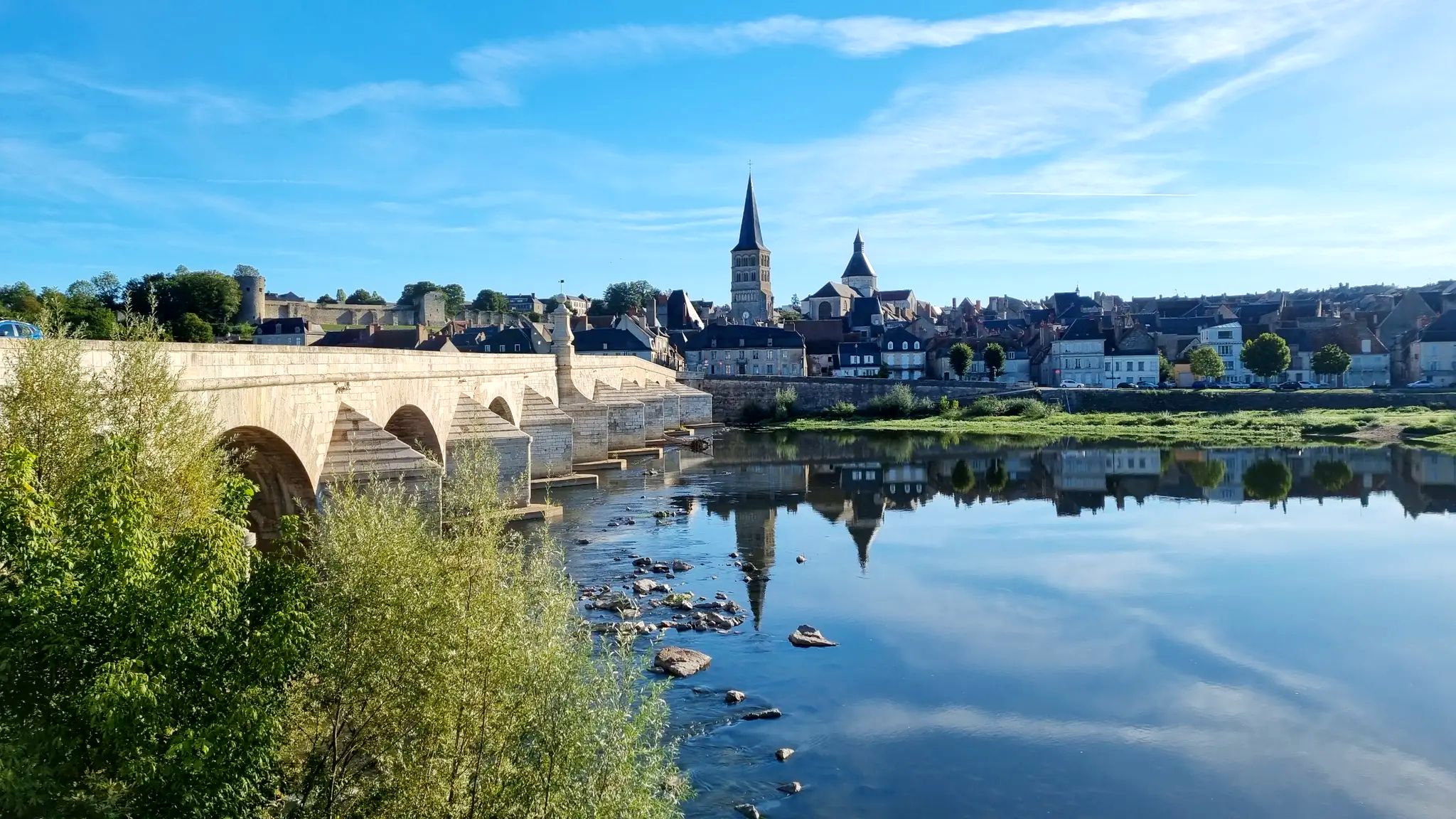
The Loire from source to ocean – GR3 in Burgundy-Franche-Comté
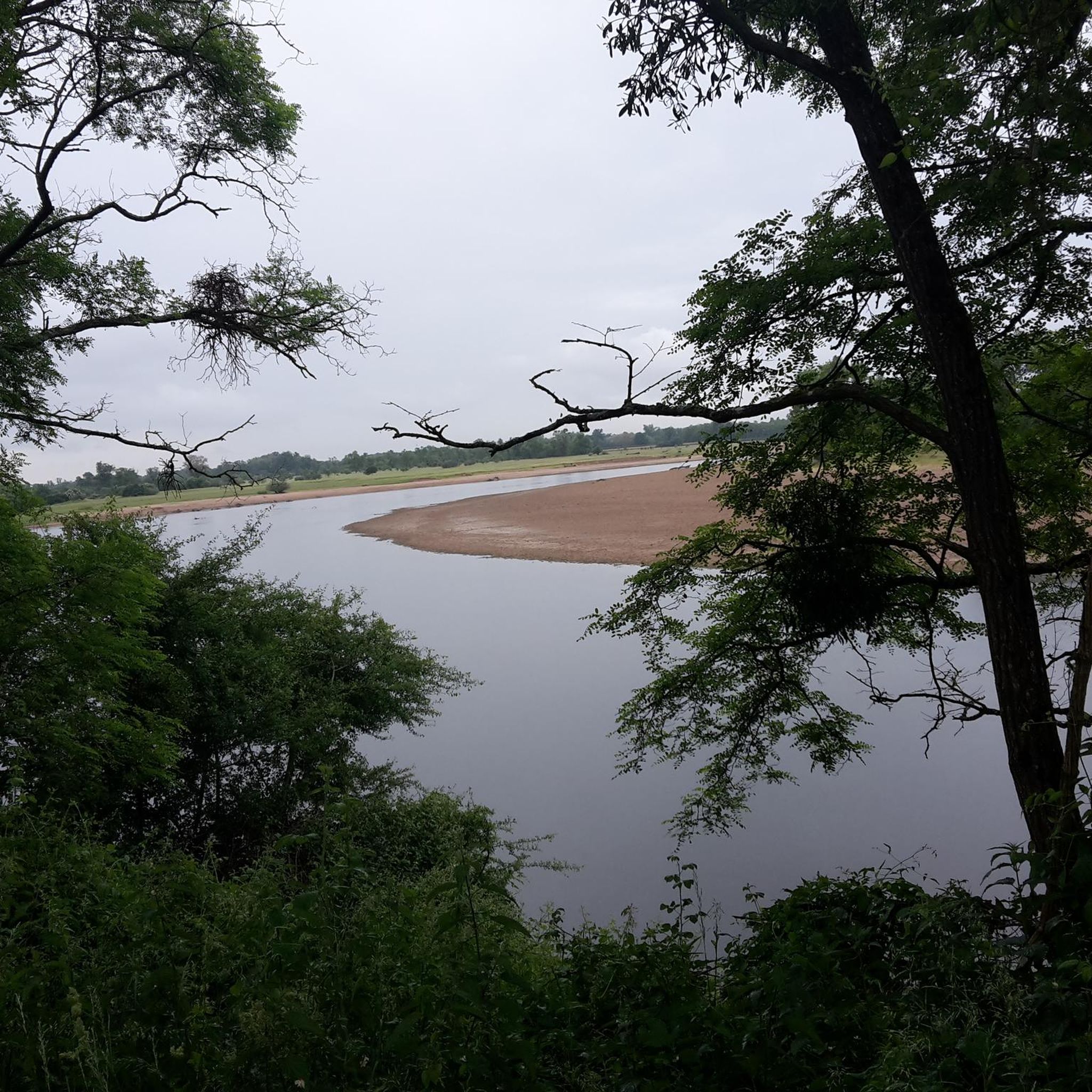
Cycling around Réserve Naturelle de la Loire Bourguignonne
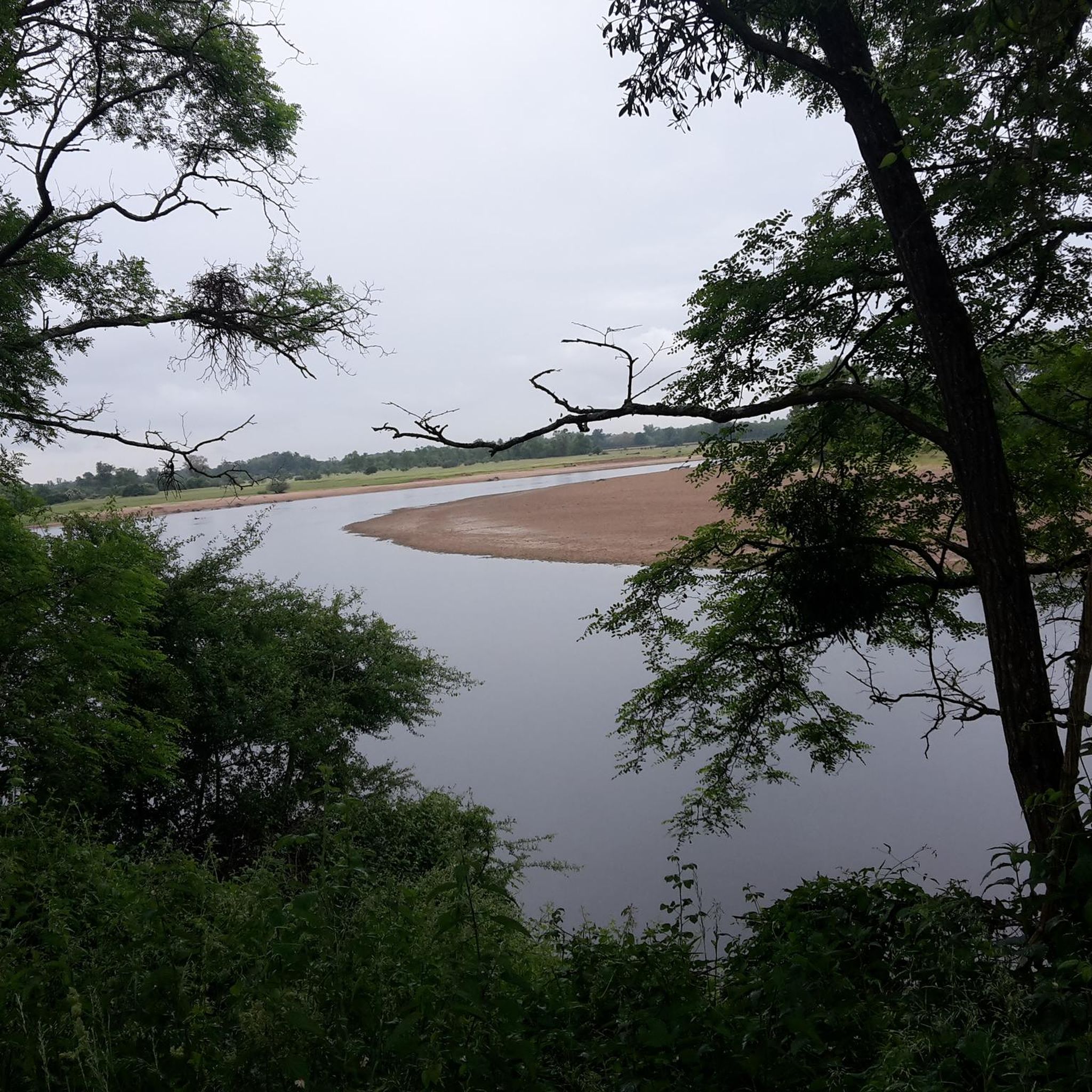
Road Cycling Routes around Réserve Naturelle de la Loire Bourguignonne
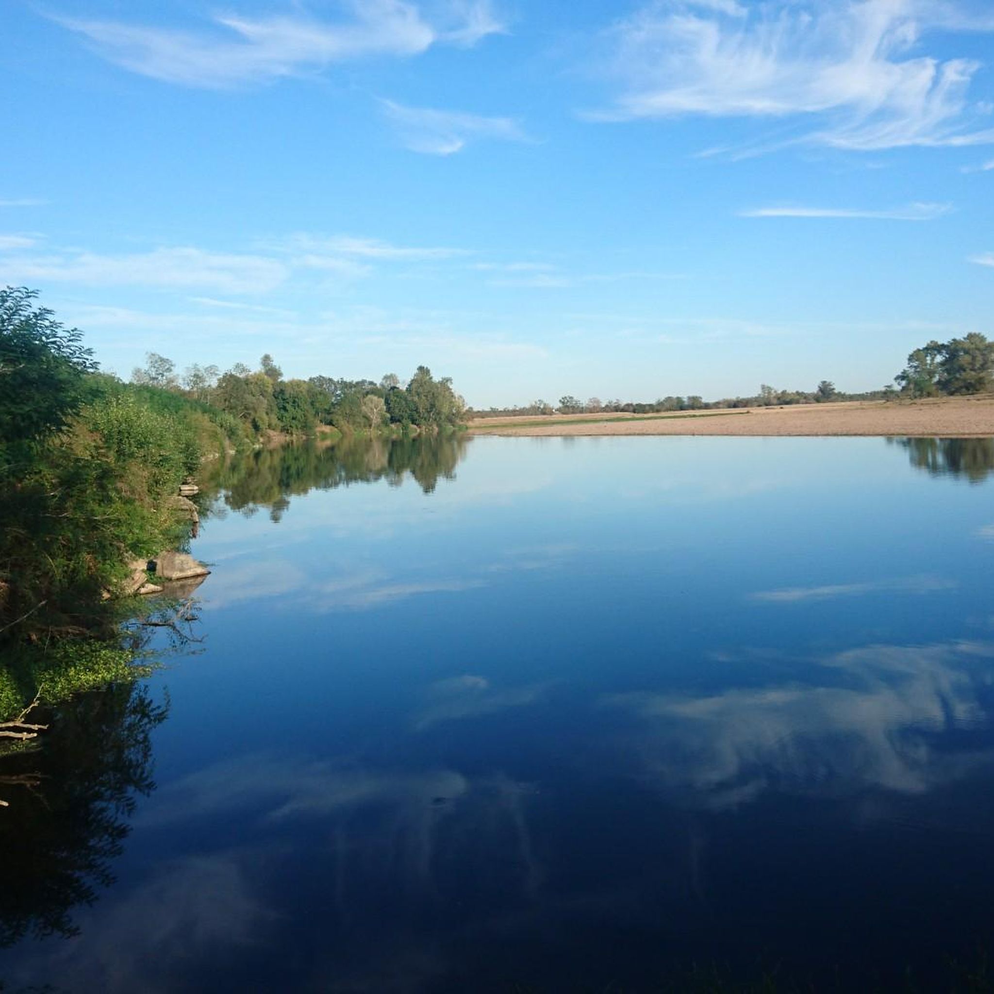
Hiking around Réserve Naturelle de la Loire Bourguignonne

Running Trails around Réserve Naturelle de la Loire Bourguignonne
Other adventures around Réserve Naturelle de la Loire Bourguignonne

Tips from the Community

Beautiful picnic spot on the Loire with a barbecue area and access to the nature reserve. There is an opportunity for bivouacking at the picnic spot. Trash cans available. No drinking water
0
0


Beautiful walk to do with the family, without any elevation changes.
1
0

The cycle path on the dam is sometimes a bit "tough". The views of the Loire radiate tranquility.
1
0
Frequently Asked Questions
How many mountain bike trails are there in Réserve Naturelle de la Loire Bourguignonne?
There are 9 mountain bike trails available in the Réserve Naturelle de la Loire Bourguignonne region, offering a variety of experiences through riverine plains, woodlands, and open countryside.
Are there any easy mountain bike trails suitable for beginners or families?
Yes, the region offers several easy trails. For a scenic ride through forests and past small lakes, consider the Étang du Moulin au Loup – Au St-Hilaire loop from Charrin, which is 18.5 miles (29.8 km) long. Another accessible option is the Chaumigny Lock – Nivernais Canal loop from Decize, covering 22.6 miles (36.4 km) along the canal.
What is the typical duration for mountain biking trails in this area?
Trail durations vary, but many routes can be completed within a few hours. For example, the Mountainbike loop from Charrin, at 32.1 miles (51.7 km), typically takes around 2 hours 50 minutes. Shorter, easier trails like the Stade de buttes – Fond Judas Line loop from Decize (17.7 miles / 28.6 km) can be completed in about 1 hour 50 minutes.
Are there any circular mountain bike routes in Réserve Naturelle de la Loire Bourguignonne?
Yes, most of the mountain bike routes in the region are circular, allowing you to start and end at the same point. Examples include the popular Mountainbike loop from Charrin and the Decize – View of the Loire loop from Gannay-sur-Loire.
What kind of terrain can I expect on the mountain bike trails?
The terrain around Réserve Naturelle de la Loire Bourguignonne is shaped by the Loire River, featuring a mix of riverine plains, gentle hills, and agricultural areas. You'll encounter paths traversing woodlands and open countryside, with modest elevation changes, making for varied and engaging rides.
What do other mountain bikers enjoy most about the trails here?
The trails in Réserve Naturelle de la Loire Bourguignonne are highly rated by the komoot community, with an average score of 4.1 stars. Reviewers often praise the varied terrain, the peaceful river environments, and the opportunities to explore rural landscapes.
When is the best time of year for mountain biking in Réserve Naturelle de la Loire Bourguignonne?
Spring and autumn generally offer the most pleasant conditions for mountain biking, with milder temperatures and beautiful scenery. Summer can also be enjoyable, though it's advisable to ride earlier in the morning or later in the afternoon to avoid the midday heat. Winter riding is possible, but trails may be muddy or wet, especially in lower-lying river areas.
Are there opportunities for wildlife spotting along the mountain bike trails?
Given the region's status as a nature reserve and its riverine environment, there are good opportunities for wildlife spotting. Keep an eye out for various bird species, especially near the Loire River and its tributaries, as well as other local fauna in the woodlands and open fields.
Are there any more challenging mountain bike trails for experienced riders?
While the region primarily features easy to moderate trails, some routes offer longer distances and more varied terrain that can be challenging. The Mountainbike loop from Charrin, for instance, is classified as moderate and covers over 32 miles (51 km) with some elevation, providing a good workout for experienced riders.
What are the typical trail conditions like?
Trail conditions generally reflect the natural environment. Paths are often unpaved, traversing dirt tracks, gravel paths, and sometimes grassy sections. After rainfall, some areas, particularly those closer to the river or in wooded sections, can become muddy. It's always a good idea to check local weather conditions before heading out.
Is there parking available near the trailheads?
While specific parking information for every trailhead isn't always detailed, routes often start from villages or accessible points where public parking may be available. For routes originating from towns like Charrin or Decize, you can typically find parking facilities within the town or at designated spots near the start of the trails.
Most popular routes around Réserve Naturelle de la Loire Bourguignonne

Get inspired with the komoot mobile app


Explore more
Browse the best MTB trails in other regions.
