The best mountain hikes around Burtigny
5.0
(1)
36
hikers
6
hikes
Mountaineering around Burtigny offers diverse terrain within the Jura Mountains foothills, characterized by rolling hills, dense forests, and picturesque valleys. The region, part of the Parc naturel régional Jura vaudois, provides access to higher ground suitable for strenuous mountain hikes and ridge climbing. From various elevated points, panoramic vistas of Lake Geneva and the distant Alps are visible, enhancing the experience of exploring features like the Col du Marchairuz. This landscape provides a rich environment for challenging mountain activities without…
Last updated: July 3, 2026
5.0
(1)
10
hikers
9.69km
03:15
450m
450m
Moderate mountaineering route. Good fitness required. Mostly accessible paths. Sure-footedness required.
10
hikers
13.8km
04:48
660m
660m
Moderate mountaineering route. Good fitness required. Mostly accessible paths. Sure-footedness required.

Sign up for free
5
hikers
19.4km
06:15
710m
710m
Hard mountaineering route. Very good fitness required. Sure-footedness, sturdy shoes and alpine experience required.
6
hikers
11.6km
04:00
560m
560m
Hard mountaineering route. Good fitness required. Sure-footedness, sturdy shoes and alpine experience required.
3
hikers
Moderate mountaineering route. Good fitness required. Easily-accessible paths. Suitable for all skill levels.
Our route recommendations are based on thousands of hikes, rides, and runs completed by other people on komoot.
Start today with a free account
Your next adventure awaits.
Login or Signup
Tips from the Community

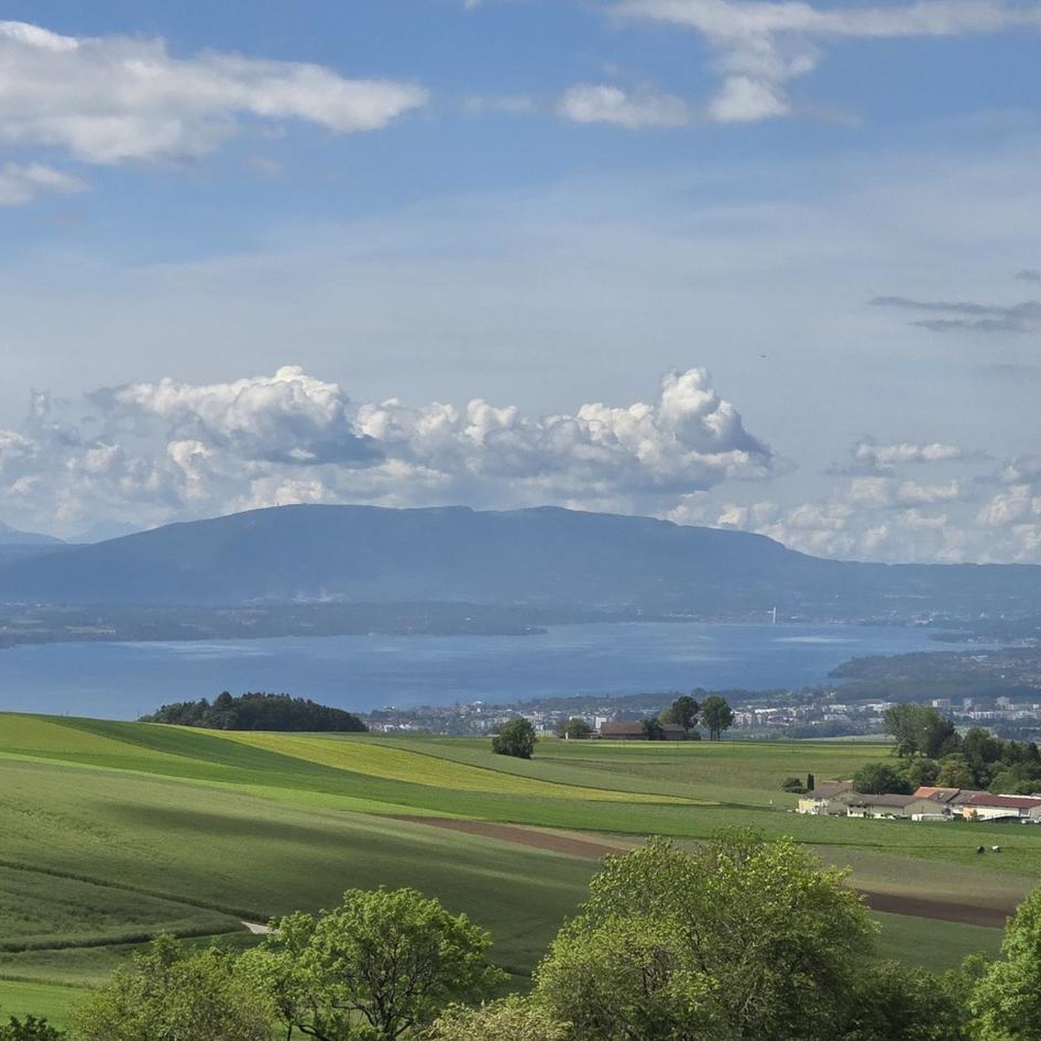
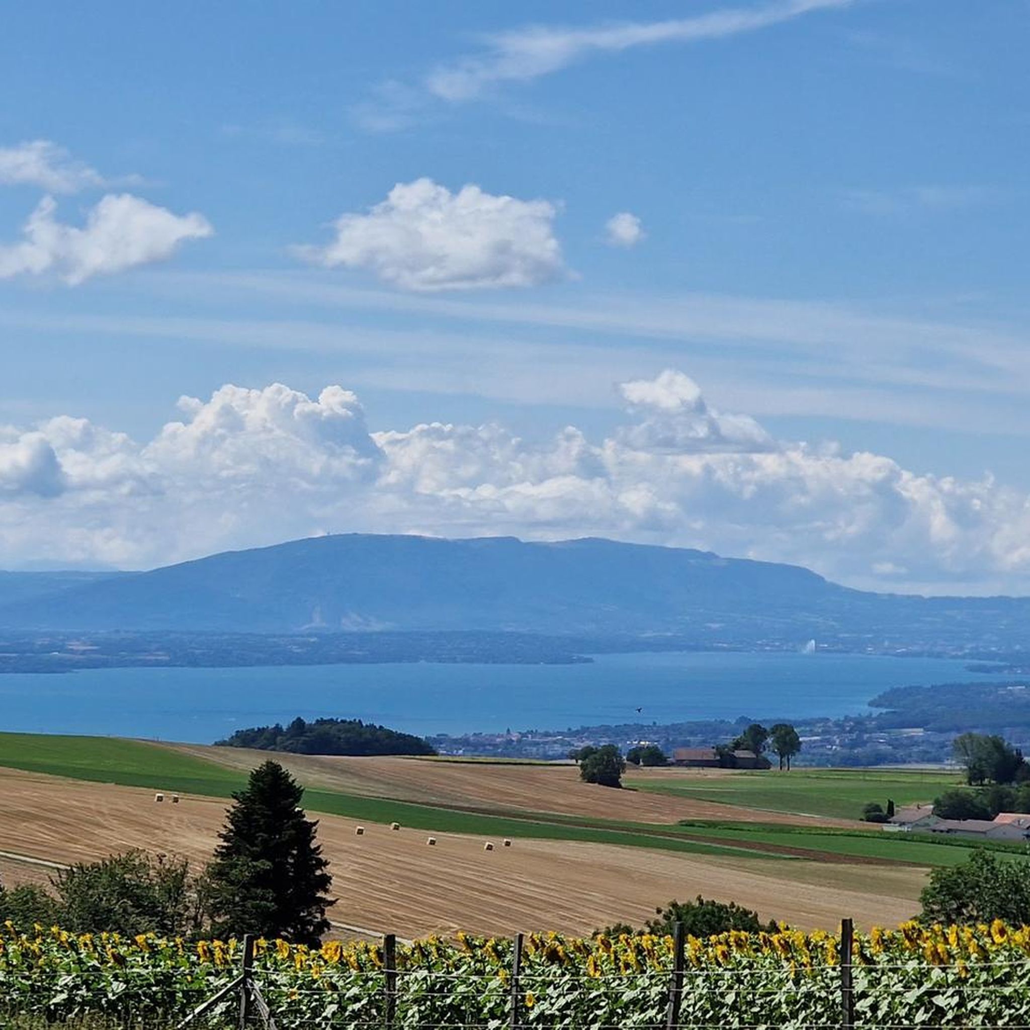
Wonderful small summit with the best view of Lake Geneva and the Alps
0
0

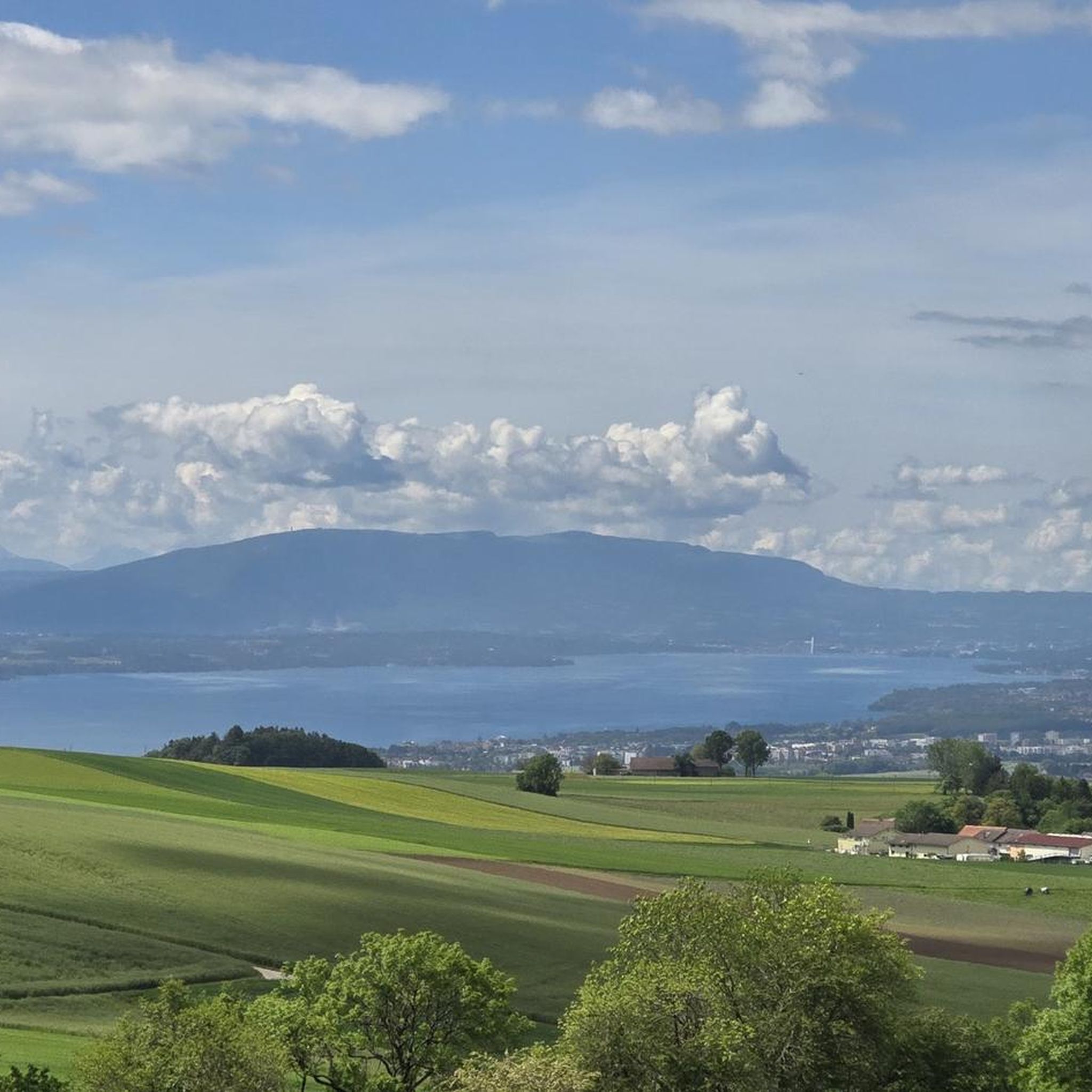
Amazing views of the Alps - a huge panorama!
0
0

View of Mt. Blanc between the trees
0
0

steep climb, walking shoes recommended: the view is worth the effort
0
0

The route up from Biere on the Swiss side is a solid steady climb with a few 12% and 13% sections. Traffic is quite light and the road is excellent. The trees give some nice protection from the sun and wind. Crossing the col northwards takes you down to the Vallé de Joux on a pretty steep decent with great corners and some short straights. My brakes made sounds I have never heard before! I did this and Col de Mollendrux together for a great 80k / 1,500 m ride. Recommended.
2
0

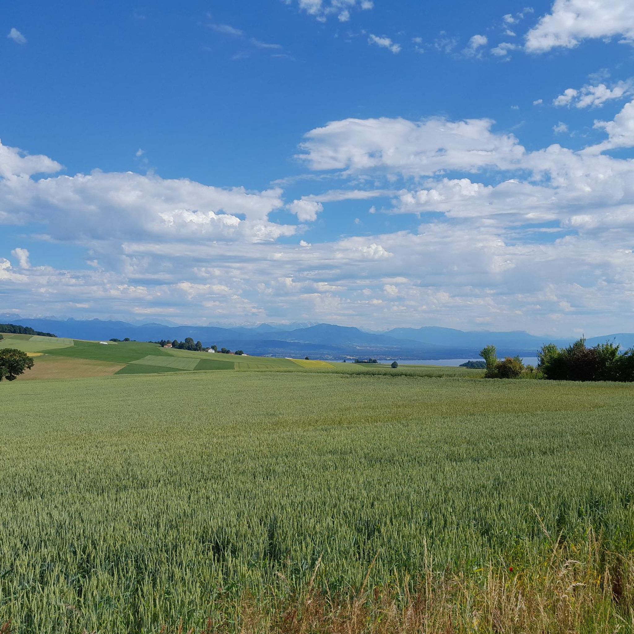
Greenery, small trail path, wild nature, everything is there to enjoy a breath of fresh air
1
0

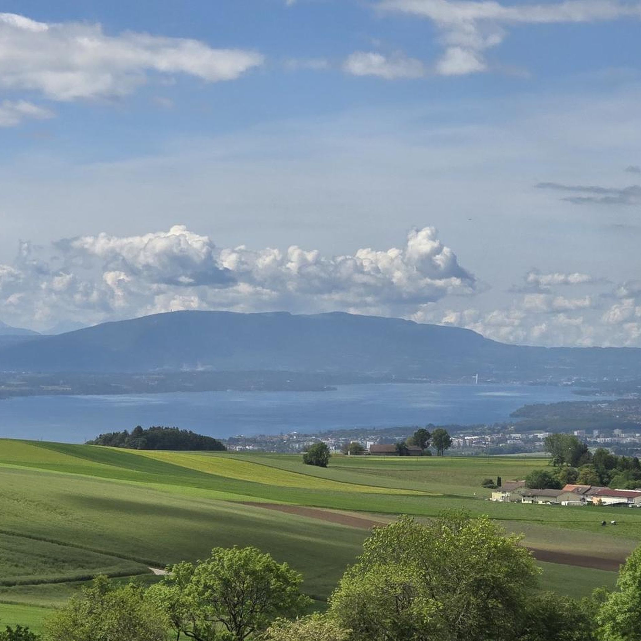
Wonderful view of the lake
1
0
Magnificent view of the summit. Early in the morning, the material gondola is in operation
0
0
Frequently Asked Questions
How many mountaineering routes are available around Burtigny, and what are their difficulty levels?
There are 6 mountaineering routes around Burtigny featured in this guide. These routes are primarily of moderate to difficult ability levels, offering a good challenge for experienced hikers. Specifically, you'll find 4 moderate routes and 2 difficult routes.
What kind of views can I expect on mountaineering routes near Burtigny?
Mountaineering routes around Burtigny, especially from elevated points within the Parc Jura Vaudois, offer stunning panoramic views. You can often see the vast expanse of Lake Geneva and the majestic Alps in the distance. Notable viewpoints include Mont Sâla Summit and the View of Lake Geneva and the Alps from the ascent to Col du Marchairuz.
Are there any circular mountaineering routes in the Burtigny area?
Yes, several routes are designed as loops, allowing you to start and finish at the same point. For example, you could explore the Nyon Ski Club Hut – Col de Porte (Jura) loop from Les Cheseaux, or the View of La Dôle Summit – La Dôle Summit loop from Les Cheseaux. Another option is the Col du Marchairuz (1,449 m) – Crêt de la Neuve Summit loop from Jura Vaudois Nature Park.
Are there less challenging mountaineering routes suitable for beginners or families with older children?
While the mountaineering routes in this guide are rated moderate to difficult, the region around Burtigny and the Parc Jura Vaudois offers a wide range of hiking trails. For those seeking a less strenuous experience, there are easier walks available in the broader area. However, for the specific mountaineering routes listed here, a good level of fitness and sure-footedness is recommended.
What are some notable landmarks or points of interest along the mountaineering routes?
Along the routes, you'll encounter significant natural features and points of interest. The Col du Marchairuz (1,449 m) is a prominent mountain pass. You can also reach summits like Crêt de la Neuve Summit and Mont Sâla Summit, which provide excellent vantage points. Additionally, you might pass by mountain huts such as Cabane du Cunay or Cabane des Électriciens, which can offer a place to rest.
What is the terrain like on mountaineering routes around Burtigny?
The terrain in the Jura Mountains foothills around Burtigny is diverse, characterized by rolling hills, dense forests, and picturesque valleys. You can expect varied surfaces, including forest paths, rocky sections, and open meadows, typical of mountain hiking in the Jura. Some routes may involve ridge climbing on limestone, offering a more technical experience.
What do other mountaineers enjoy the most about mountaineering in Burtigny?
The area is highly rated by the komoot community, with an average score of 5.0 stars. Mountaineers often praise the diverse terrain, the challenging nature of the routes, and the stunning panoramic views of Lake Geneva and the distant Alps that can be enjoyed from various elevated points.
Are dogs allowed on the mountaineering trails in Burtigny?
Generally, dogs are welcome on hiking trails in the Swiss Jura region. However, it's always recommended to keep your dog on a leash, especially in nature reserves, near livestock, or in areas with wildlife. Always ensure your dog is well-behaved and that you clean up after them to preserve the natural environment.
What is the best time of year for mountaineering in Burtigny?
The best time for mountaineering in Burtigny is typically from late spring to early autumn (May to October), when the weather is generally stable, and trails are free of snow. During winter, the Parc Jura Vaudois transforms, offering opportunities for snowshoeing and cross-country skiing, but specific mountaineering routes might be challenging due to snow and ice conditions.
Where can I find parking for mountaineering trailheads near Burtigny?
Many mountaineering routes in the region start from accessible points with parking facilities. For instance, routes like the Col de Porte (Jura) – La Dôle Summit loop often begin from areas like Les Cheseaux or St-Cergue, which typically have designated parking for hikers. It's advisable to check specific trailhead information for parking availability before your trip.
Are there any mountain huts or restaurants along the routes for refreshments?
Yes, the region offers several huts and restaurants that can provide refreshments. You might find places like Chalet du Pré-aux-Veaux or Les Pralets. Additionally, huts such as Cabane de Rochefort can offer a place to rest, though it's always good to check their operating hours and services in advance.
What is the typical elevation gain on mountaineering routes around Burtigny?
The mountaineering routes around Burtigny feature significant elevation gains, reflecting their moderate to difficult ratings. For example, routes can involve ascents ranging from approximately 300 meters (around 1,000 feet) up to over 700 meters (around 2,300 feet), such as on the La Dôle Summit – Col de Porte (Jura) loop from St-Cergue.
Most popular routes around Burtigny
Most popular attractions around Burtigny

Get inspired with the komoot mobile app


Explore more
Browse the best Mountain Hikes & Routes in other regions.
