The best road cycling routes in the Mali i Gjerë Mountains
4.5
(20)
190
riders
1
ride
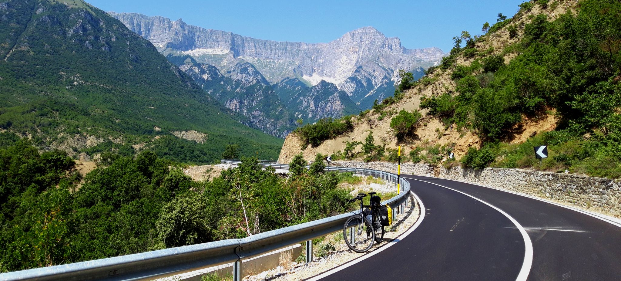
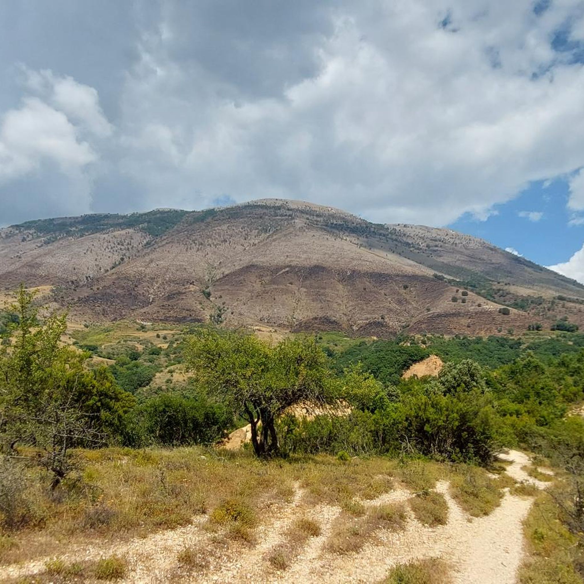
Road cycling in the Mali i Gjerë Mountains features routes that traverse coastal areas, natural parks, and inland regions with moderate elevation changes. The landscape is characterized by a mix of rugged hills, bays, and natural springs, offering diverse scenery for road cyclists. The region's terrain includes both paved roads winding along the coastline and paths leading through more secluded natural areas.
Best road cycling routes in the Mali i Gjerë Mountains
- The most popular road cycling route is Butrint…
Last updated: August 13, 2026
4.5
(8)
90
riders
46.8km
02:02
420m
420m
Moderate road ride. Good fitness required. Mostly well-paved surfaces and easy to ride.
4
riders
33.6km
01:30
290m
300m
Easy road ride. Great for any fitness level. Mostly well-paved surfaces and easy to ride.

Sign up for free
4.5
(2)
4
riders
44.6km
02:26
790m
790m
Moderate road ride. Good fitness required. Some segments of this route may be unpaved and difficult to ride.
Our route recommendations are based on thousands of hikes, rides, and runs completed by other people on komoot.
Start today with a free account
Your next adventure awaits.
Login or Signup
Popular around Mali i Gjerë Mountains
Other adventures in the Mali i Gjerë Mountains

Tips from the Community

Very rich archaeological site, well preserved, in a green and peaceful setting, a must-see in Albania
0
0

30.09.2025 200 Lek per person with bicycle
0
0


The crossing can also be paid in euros, reflecting the proximity to Greece. You pay €2 directly on the ferry (for cyclists); the ferryman didn't charge anything on the return trip, but that was surely just a coincidence.
3
0
The 9,424.4-hectare site encompasses the coastal area of the Ionian Sea in southern Albania, including Lake Butrint, the small adjacent Lake Bufi, the Ksamil Peninsula, the Vrina Plain, the wetlands of the Vivar Canal, the mouth of the Pavlla River, and the hills of Cape Stillo. Cycling is permitted in the national park!
2
0

Fantastically beautiful, and very refreshing....
0
0

The ferry crossing cost €2 per person with a bicycle.
0
0
Frequently Asked Questions
What is the typical difficulty level of road cycling routes in the Mali i Gjerë Mountains?
The road cycling routes in the Mali i Gjerë Mountains primarily feature moderate challenges. This means they are suitable for cyclists with some experience, offering a good balance of scenic beauty and physical engagement without being overly strenuous. Routes like the Butrint National Park – Butrint Ferry Crossing loop from Saranda are rated as moderate.
How long are the road cycling routes in the Mali i Gjerë Mountains?
The road cycling routes in the Mali i Gjerë Mountains typically range from 23 to 30 miles (37 to 48 km) in length. For example, the Porto Palermo Bay loop from Qazim Pali is 23.5 miles (37.8 km), while the "Blue Eye" loop from Natural Monument The Blue Eye covers 27.7 miles (44.6 km).
Are there circular road cycling routes in the Mali i Gjerë Mountains?
Yes, many of the road cycling routes in the Mali i Gjerë Mountains are designed as loops, allowing you to start and finish at the same point. Examples include the Butrint National Park – Butrint Ferry Crossing loop from Saranda and the Porto Palermo Bay loop from Qazim Pali.
What is the best time of year for road cycling in the Mali i Gjerë Mountains?
The best time for road cycling in the Mali i Gjerë Mountains is generally during spring (April-May) and autumn (September-October). During these seasons, the weather is pleasantly mild, and the landscapes are vibrant. Summers can be hot, especially in July and August, while winters are typically mild but may bring more rainfall.
What kind of scenery can I expect on road cycling routes in the Mali i Gjerë Mountains?
Road cycling in the Mali i Gjerë Mountains offers diverse scenery, including coastal roads with views of bays, routes through natural parks, and paths leading to natural springs. You'll encounter a mix of rugged hills and lush landscapes, providing a varied and engaging experience.
What attractions can I see along the road cycling routes in the Mali i Gjerë Mountains?
While cycling, you can explore various points of interest. Near some routes, you might find historical sites like Gjirokastër Castle, the traditional Zekate House, or the charming Qafa e Pazarit (Old Bazaar Quarter) in Gjirokastër. Natural wonders like the 'Blue Eye' spring are also accessible.
Are there any viewpoints along the road cycling routes in the Mali i Gjerë Mountains?
Yes, many routes offer stunning viewpoints, especially those along the coastline or ascending into the hills. The Porto Palermo Bay loop from Qazim Pali, for instance, provides scenic views of Porto Palermo Bay. You can also find specific viewpoints like the View of Gjirokastër Castle and Old Town.
What do other road cyclists enjoy most about road cycling in the Mali i Gjerë Mountains?
The area is highly rated by the komoot community, with an average score of 4.5 stars. Reviewers often praise the region's diverse landscapes, from coastal roads to natural springs, and the engaging moderate challenges offered by the routes.
Are the road cycling routes in the Mali i Gjerë Mountains suitable for families?
Given that most routes are rated as moderate and involve some elevation changes, they are generally more suitable for families with older children or those who are experienced cyclists. For younger children or less experienced family members, shorter, flatter sections or dedicated cycling paths might be more appropriate, though these are less common for road biking in this region.
What kind of terrain can I expect on the road cycling routes?
The road cycling routes in the Mali i Gjerë Mountains feature a mix of paved roads. You'll find roads winding along the coastline, as well as paths leading through more secluded natural areas and inland regions, often with moderate elevation changes and rugged hills.
Are there opportunities to see wildlife while road cycling in the Mali i Gjerë Mountains?
The diverse natural landscapes, including natural parks and coastal areas, offer opportunities to observe local wildlife. While specific sightings are never guaranteed, you might encounter various bird species, small mammals, and reptiles, especially in quieter sections away from populated areas.
Where can I find parking for road cycling routes in the Mali i Gjerë Mountains?
Parking availability varies by starting point. For routes originating from towns or popular attractions like Saranda or near the Blue Eye, you can often find designated parking areas. It's advisable to check specific route details on komoot for recommended starting points and parking information.
Most popular routes in the Mali i Gjerë Mountains
Most popular attractions in the Mali i Gjerë Mountains

Get inspired with the komoot mobile app


Explore more
Browse the best Road cycling routes in other regions.
