The best mountain hikes in Lahn-Dill-Kreis
4.5
(4)
11
hikers
6
hikes
Mountaineering in Lahn-Dill-Kreis offers routes through a landscape characterized by rolling hills, dense forests, and river valleys. The region features moderate elevations, providing varied terrain suitable for different skill levels. These routes often traverse wooded areas and open sections, with some paths offering views over the surrounding countryside. The natural environment supports a range of outdoor activities.
Best mountaineering routes in Lahn-Dill-Kreis
- The most popular mountaineering route is Ketzerstein – Fuchskaute loop from Waldaubacher Hecke bei Rabenscheid, a 6.3…
Last updated: October 20, 2026
5.0
(1)
3
hikers
Moderate mountaineering route. Good fitness required. Easily-accessible paths. Suitable for all skill levels.
3.0
(1)
2
hikers
Moderate mountaineering route. Good fitness required. Easily-accessible paths. Suitable for all skill levels.

1
hikers
10.0km
02:47
180m
180m
Moderate mountaineering route. Good fitness required. Easily-accessible paths. Suitable for all skill levels.
5.0
(1)
1
hikers
7.39km
02:05
150m
150m
Moderate mountaineering route. Good fitness required. Mostly accessible paths. Sure-footedness required.
1
hikers
8.92km
02:36
230m
230m
Moderate mountaineering route. Good fitness required. Easily-accessible paths. Suitable for all skill levels.
5.0
(1)
3
hikers
Easy mountaineering route. Great for any fitness level. Easily-accessible paths. Suitable for all skill levels.
Our route recommendations are based on thousands of hikes, rides, and runs completed by other people on komoot.
Start today with a free account
Your next adventure awaits.
Popular around Lahn-Dill-Kreis
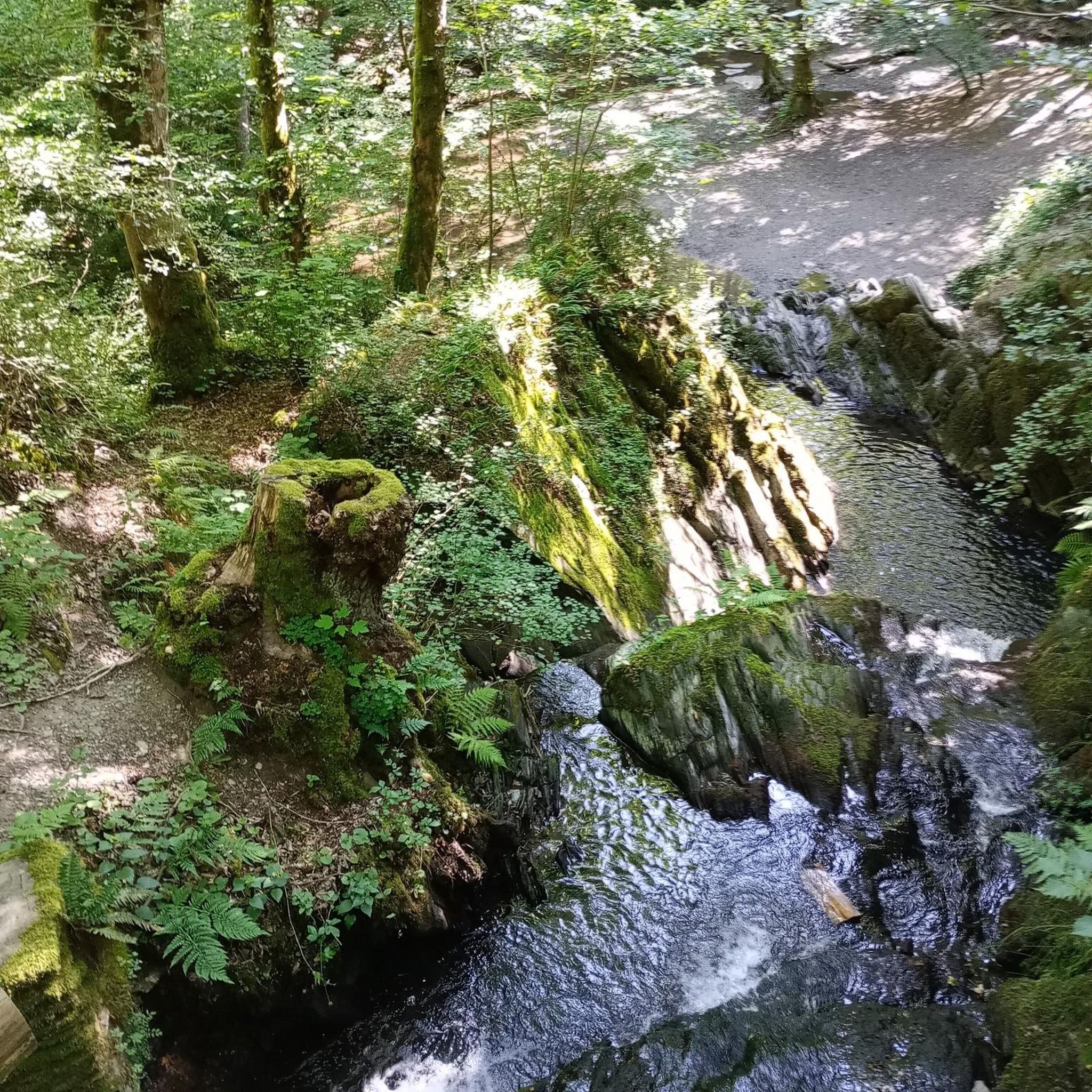
Mountain Hikes in Naturpark Lahn-Dill-Bergland
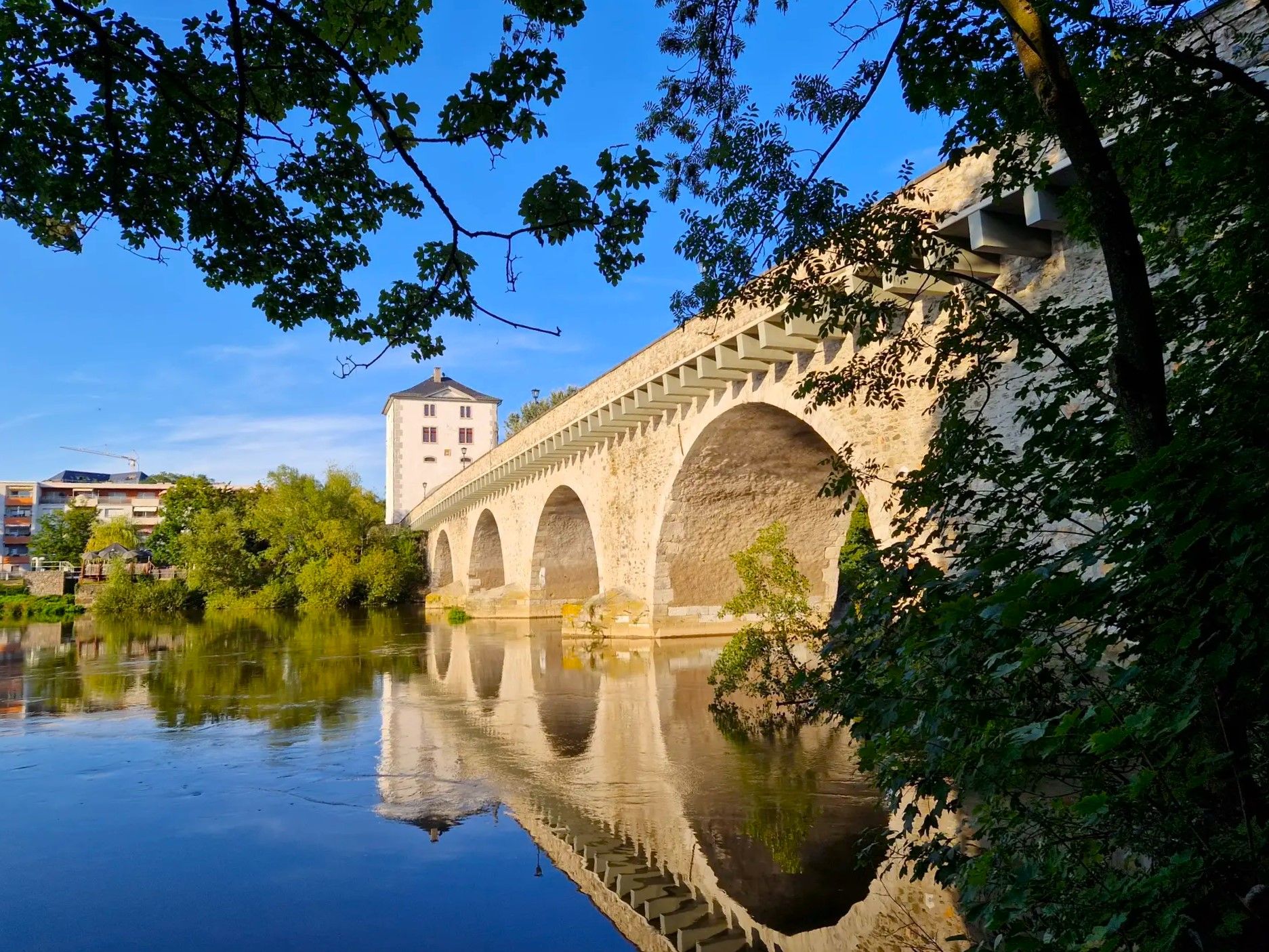
Lahnwanderweg Trail – The Lahn from its source to the estuary

11 Hessen trails – criss-cross through the countryside
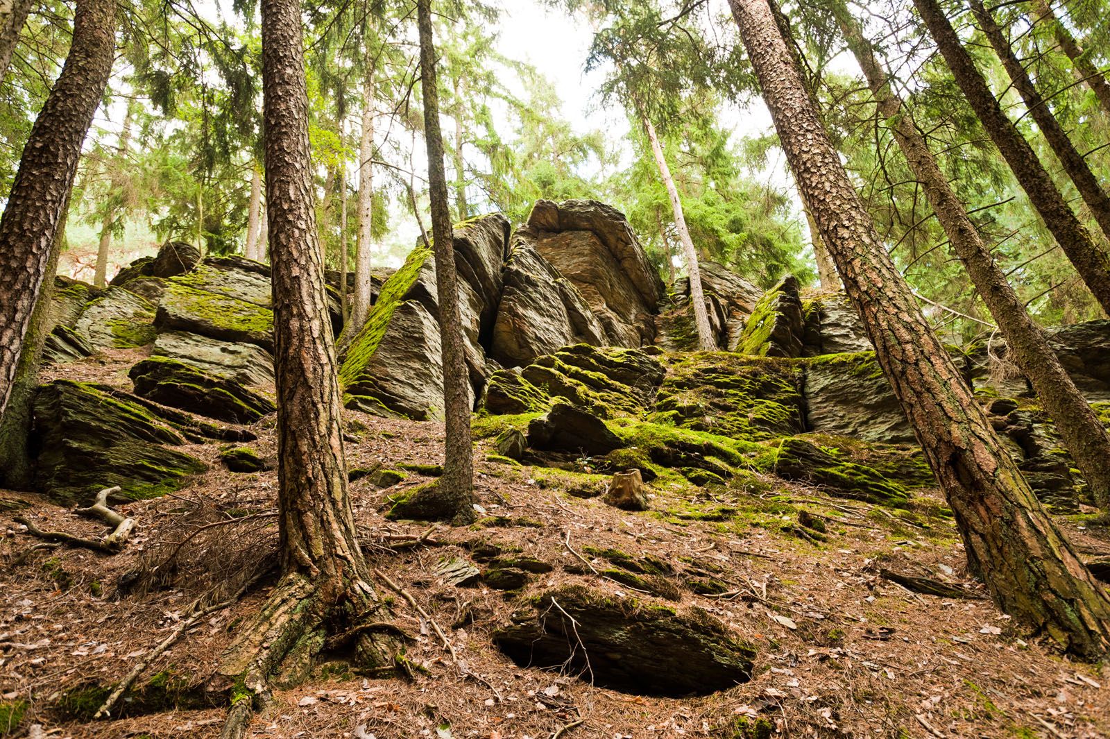
Lahn-Dill-Bergland-Pfad – Hiking trail
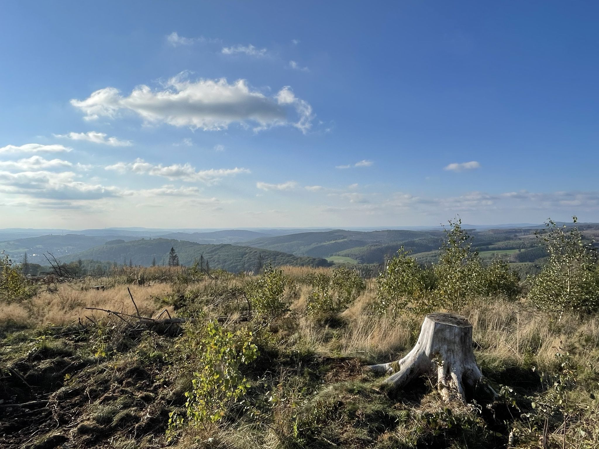
Siegerland-Höhenring – A classic in six stages

The National Natural Landscapes in Hessen
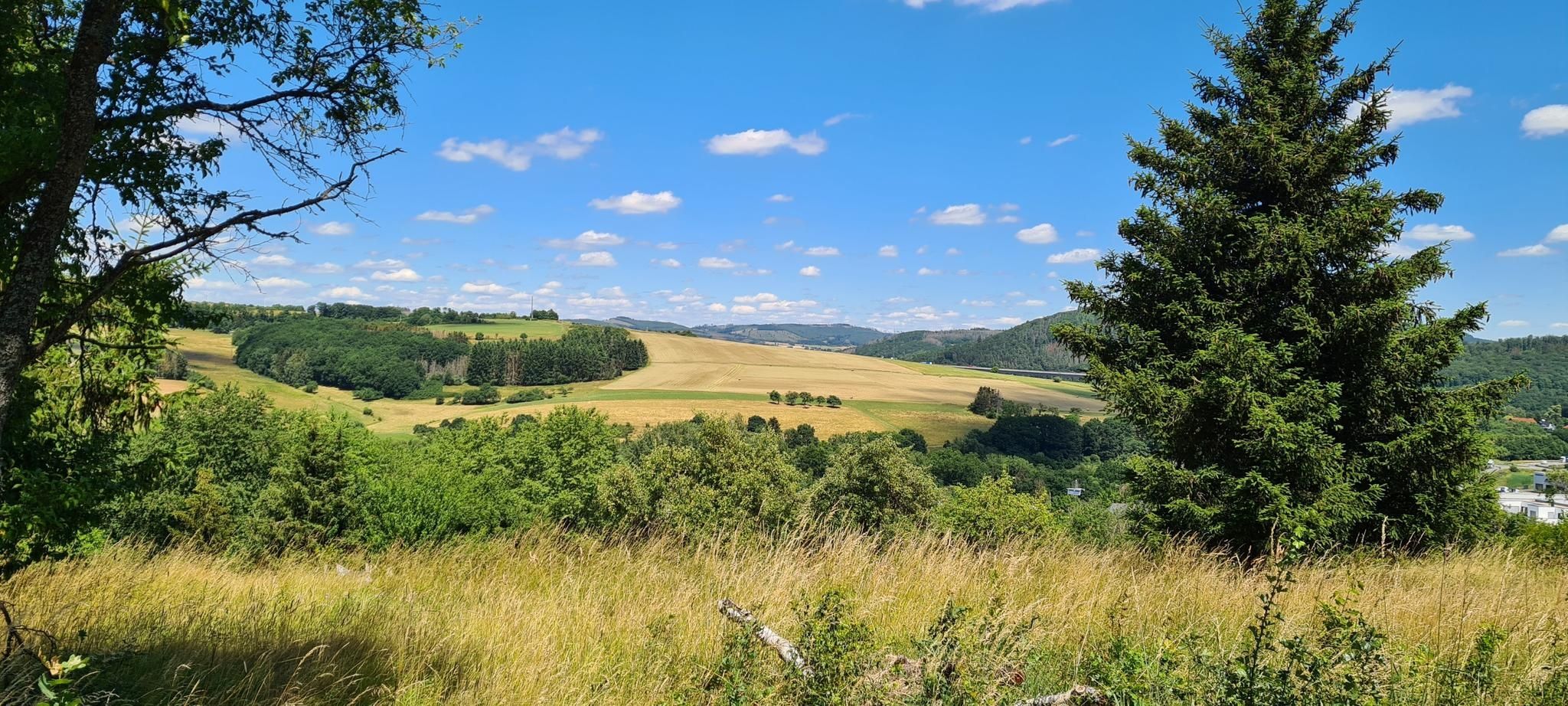
Hauberge and foxglove fields – hiking trails around Haiger
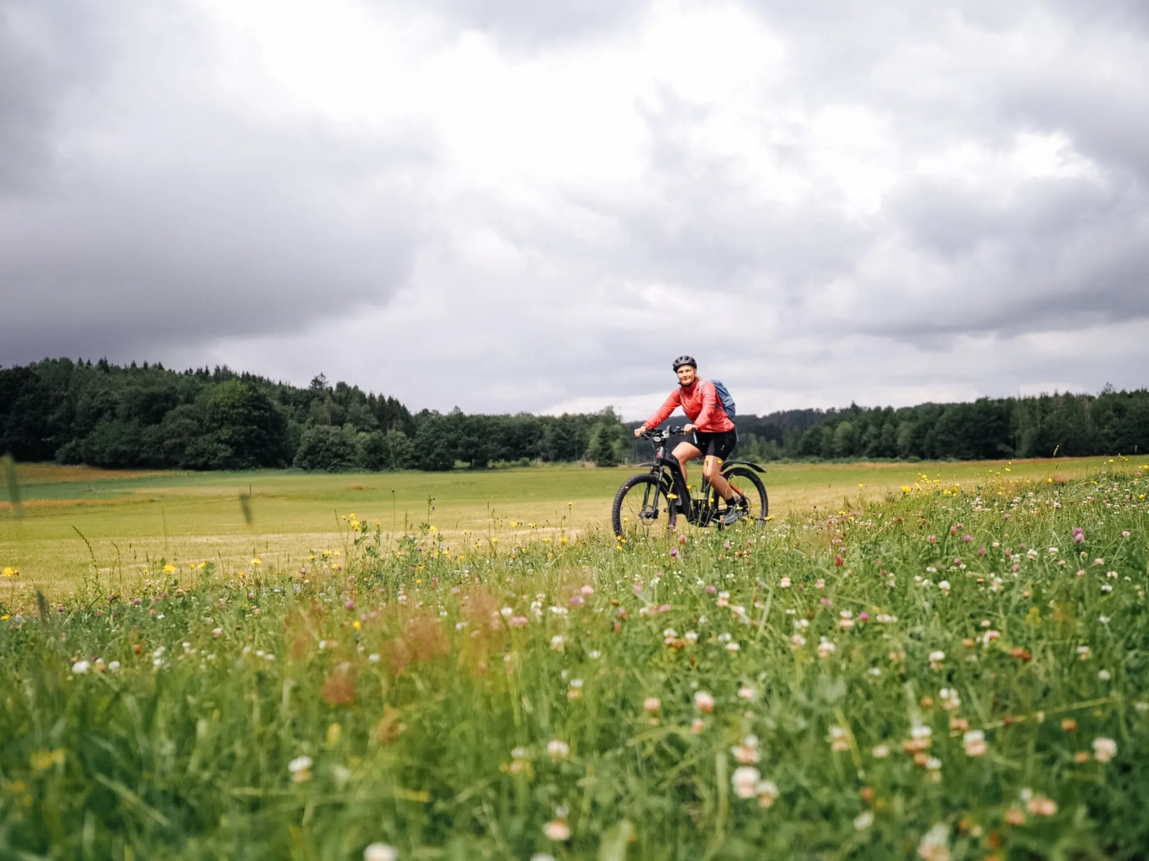
Vast views in the Westerwald – E-Bike fun with Fräulein Draußen
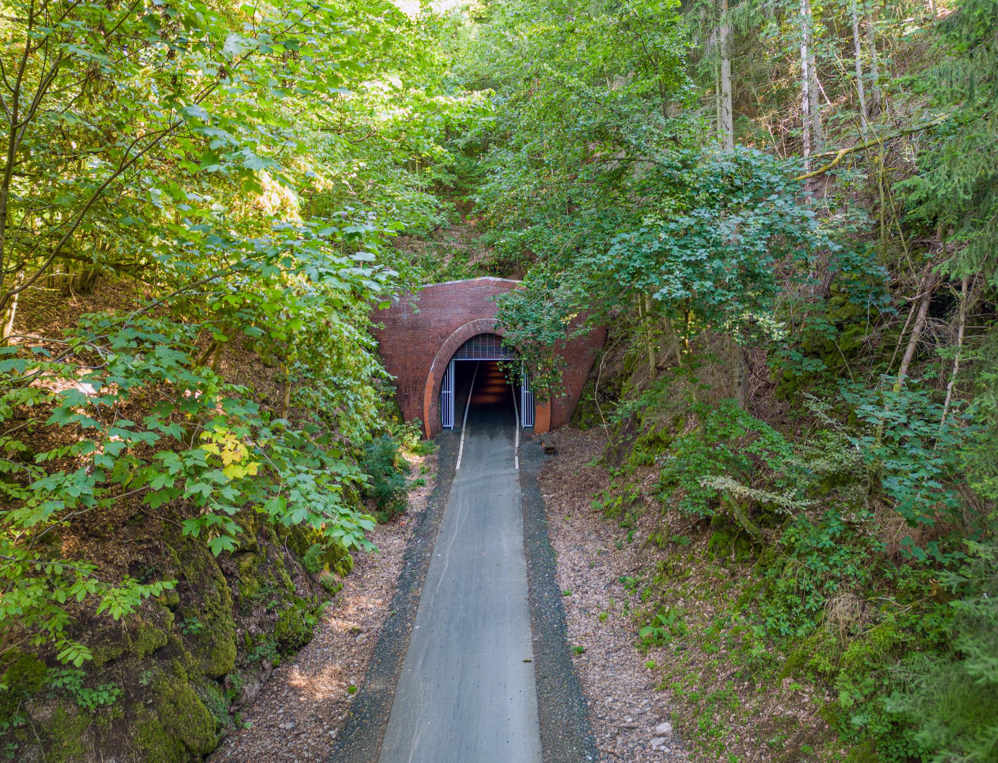
Get active on tunnel adventures & in the idyllic Dilltal – cycling around Haiger

#GoFurther – discover the views of Germany!
Other adventures in Lahn-Dill-Kreis


Tips from the Community

The Alte Rheinstraße on the Kornberg is a historic trade route and popular hiking area in the Lahn-Dill-Bergland Nature Park in Hesse, near Dillenburg and Haiger. History and Significance + Former trade route: The road has been used for over 1,000 years; in the Middle Ages, it served merchants as the main transport route from Thuringia to the Rhine. + Military road: In Napoleon's time, it was a heavily used route for troops and transport. + Present-day nature reserve: The area bears the name An der alten Rheinstraße and protects valuable nutrient-poor grasslands and historic pastureland.
0
0
Dillenburg is a historic medium-sized town with around 23,500 inhabitants in the Lahn-Dill district of central Hesse. Since 2017, the town has officially carried the additional designation Oranienstadt, as it is the historical ancestral seat of the Orange branch of the House of Nassau and is considered the cradle of the Dutch royal house. It is picturesquely situated in the Lahn-Dill hill country on the river Dill and forms the endpoint of the well-known Rothaarsteig long-distance hiking trail.
0
0

Very scenic cycle path.
0
0

At Bernd's, there's always something cool.
0
0

The largest lake in the Hohe Westerwald can be wonderfully circumnavigated. Two campsites with beautiful bathing beaches are located on its shore. From an observation stand, you can observe the birdlife in the nature reserve next to the lake.
1
0

Great inn in a hundred-year-old half-timbered house.
0
0


The path is still beautiful. However, there is currently no forest at this location.
1
0
Frequently Asked Questions
How many mountaineering routes are available in Lahn-Dill-Kreis?
There are 6 mountaineering routes listed in this guide for Lahn-Dill-Kreis, offering a variety of experiences through rolling hills and dense forests.
What is the overall rating for mountaineering routes in Lahn-Dill-Kreis?
The mountaineering routes in Lahn-Dill-Kreis are highly rated by the komoot community, with an average score of 4.5 stars from over 4 reviews. Users often appreciate the varied terrain and natural beauty.
Are there any easy mountaineering routes suitable for beginners or families?
Yes, Lahn-Dill-Kreis offers easy routes. For instance, the Celtic homestead at Dünsberg – Wooden Sculptures at Dünsberg loop from Biebertal is an easy 3.0-mile (4.8 km) trail that takes about 1 hour 29 minutes, leading through forested areas and past historical sites.
What kind of terrain can I expect on mountaineering routes in Lahn-Dill-Kreis?
The terrain in Lahn-Dill-Kreis is characterized by rolling hills, dense forests, and river valleys. Routes often traverse wooded areas and open sections, with moderate elevations providing varied paths suitable for different skill levels.
Are there any circular mountaineering routes in Lahn-Dill-Kreis?
Many of the routes in Lahn-Dill-Kreis are circular, offering convenient starting and ending points. An example is the View of Krombach Reservoir – Krombach Reservoir loop from Krombachtalsperre, which circles the Krombach Reservoir.
What are some notable natural attractions or landmarks along the mountaineering routes?
Along the routes, you might encounter various natural and historical points of interest. For example, the Celtic homestead at Dünsberg – Wooden Sculptures at Dünsberg loop passes by historical sites. You can also explore nearby waterfalls like the Leyenbach Waterfall or the Möttbach Waterfall.
Are there any huts or shelters available along the trails?
Yes, there are huts and shelters in the Lahn-Dill-Kreis region that can be useful during your mountaineering trips. You might find places like the Dietzhölztal Shelter or the Shelter and bench in Großaltenstädtener Heide.
What is a moderately challenging mountaineering route in the area?
For a moderate challenge, consider the Wading Path on the Rothaarsteig – Haigerer Tor Shelter loop from Donsbach. This route covers 8.9 miles (14.4 km) with significant elevation gain, offering a rewarding experience.
When is the best time of year for mountaineering in Lahn-Dill-Kreis?
The best time for mountaineering in Lahn-Dill-Kreis is generally from spring through autumn (April to October), when the weather is milder and the trails are most accessible. During these months, the forests are lush, and views are often clear.
Can I expect to see wildlife on the mountaineering trails?
Given the dense forests and natural river valleys of Lahn-Dill-Kreis, it's possible to encounter various forms of wildlife, including deer, wild boar, and a variety of bird species, especially during quieter times of day.
Is there a route that offers views of a reservoir?
Yes, the View of Krombach Reservoir – Krombach Reservoir loop from Krombachtalsperre is a moderate 4.9-mile (7.9 km) path that circles the Krombach Reservoir, providing scenic views of the water and surrounding nature.
What is a good route for exploring historical sites?
The Hohensolms Castle – Altenberg Observation Tower loop from Königsberg is a great option. This moderate 7.5-mile (12.1 km) route allows you to explore historical landmarks like Hohensolms Castle.
Most popular routes in Lahn-Dill-Kreis
Most popular attractions in Lahn-Dill-Kreis

Get inspired with the komoot mobile app


Didn’t find what you were looking for?
Check out more Mountain Hikes & Routes throughout Lahn-Dill-Kreis below and find the perfect route in your destination.
Explore more
Browse the best Mountain Hikes & Routes in other regions.
