The best mountain hikes around Hohenstadt
5.0
(2)
9
hikers
2
hikes
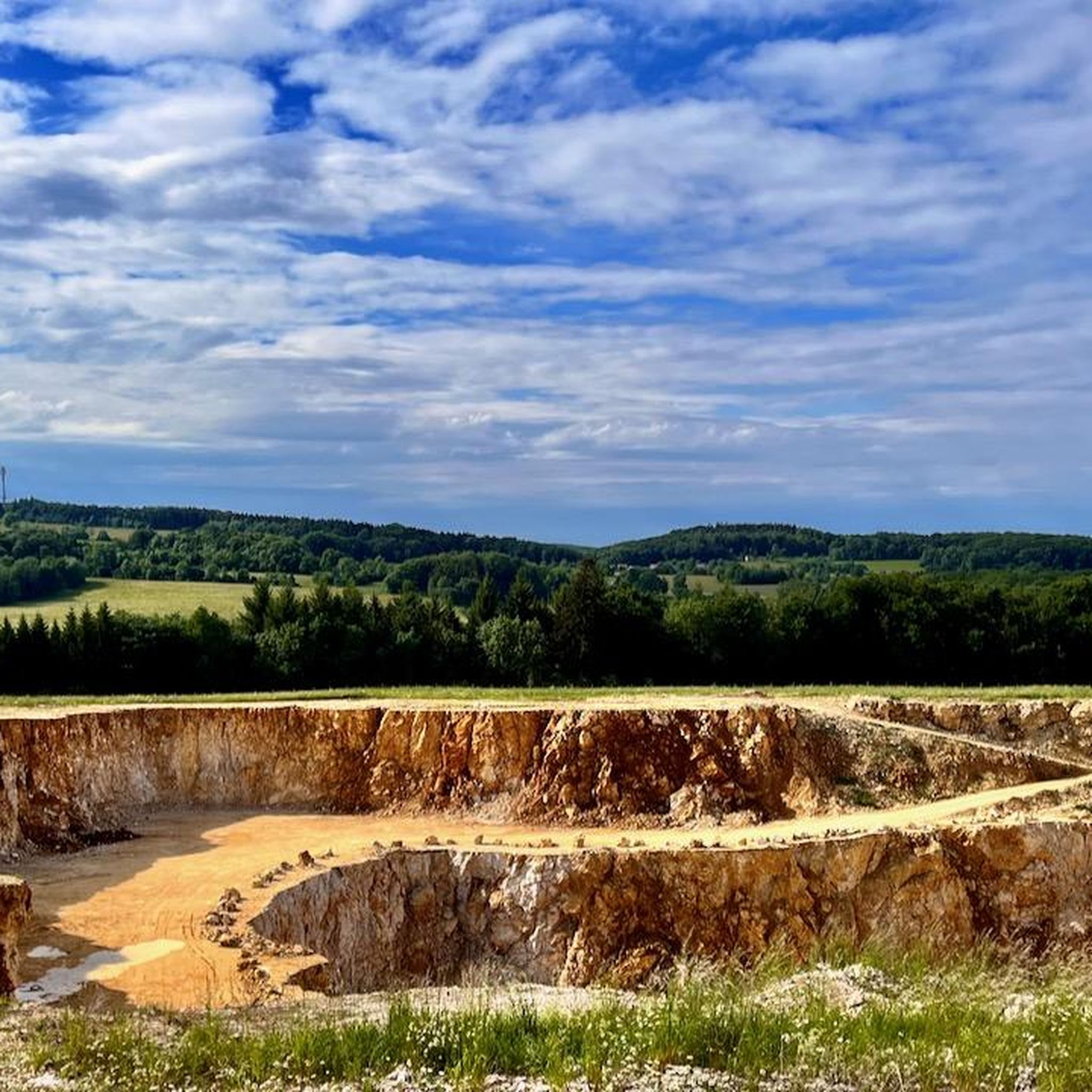
Mountaineering routes Hohenstadt are situated within Germany's Swabian Jura, a region defined by rolling hills, scenic valleys, and distinctive limestone formations. The landscape features elevations up to 836 meters (2,743 ft), offering panoramic views across dense forests and unique moorlands. This area is part of the Middle Kuppenalb, characterized by its karst topography and a dramatic steep escarpment known as the Albtrauf.
Best mountaineering routes around Hohenstadt
- The most popular mountaineering route is Source of the Fils – View of…
Last updated: July 3, 2026
5.0
(1)
3
hikers
9.83km
02:45
200m
200m
Moderate mountaineering route. Good fitness required. Easily-accessible paths. Suitable for all skill levels.
3
hikers
Moderate mountaineering route. Good fitness required. Easily-accessible paths. Suitable for all skill levels.

Sign up for free
2
hikers
Moderate mountaineering route. Good fitness required. Easily-accessible paths. Suitable for all skill levels.
5.0
(1)
1
hikers
11.8km
03:22
260m
260m
Moderate mountaineering route. Good fitness required. Easily-accessible paths. Suitable for all skill levels.
Our route recommendations are based on thousands of hikes, rides, and runs completed by other people on komoot.
Start today with a free account
Your next adventure awaits.
Login or Signup
Tips from the Community

The Boßler is a prominent mountain in the Swabian Alps near Gruibingen, rising to 794.7 meters above sea level. From its vantage point on the edge of the Alb plateau, a sweeping view opens up across the Alb foothills – on a clear day, this extends far to the west. A large memorial cross also stands here, commemorating several tragic aircraft crashes that have occurred in the region since the 1940s.
4
0


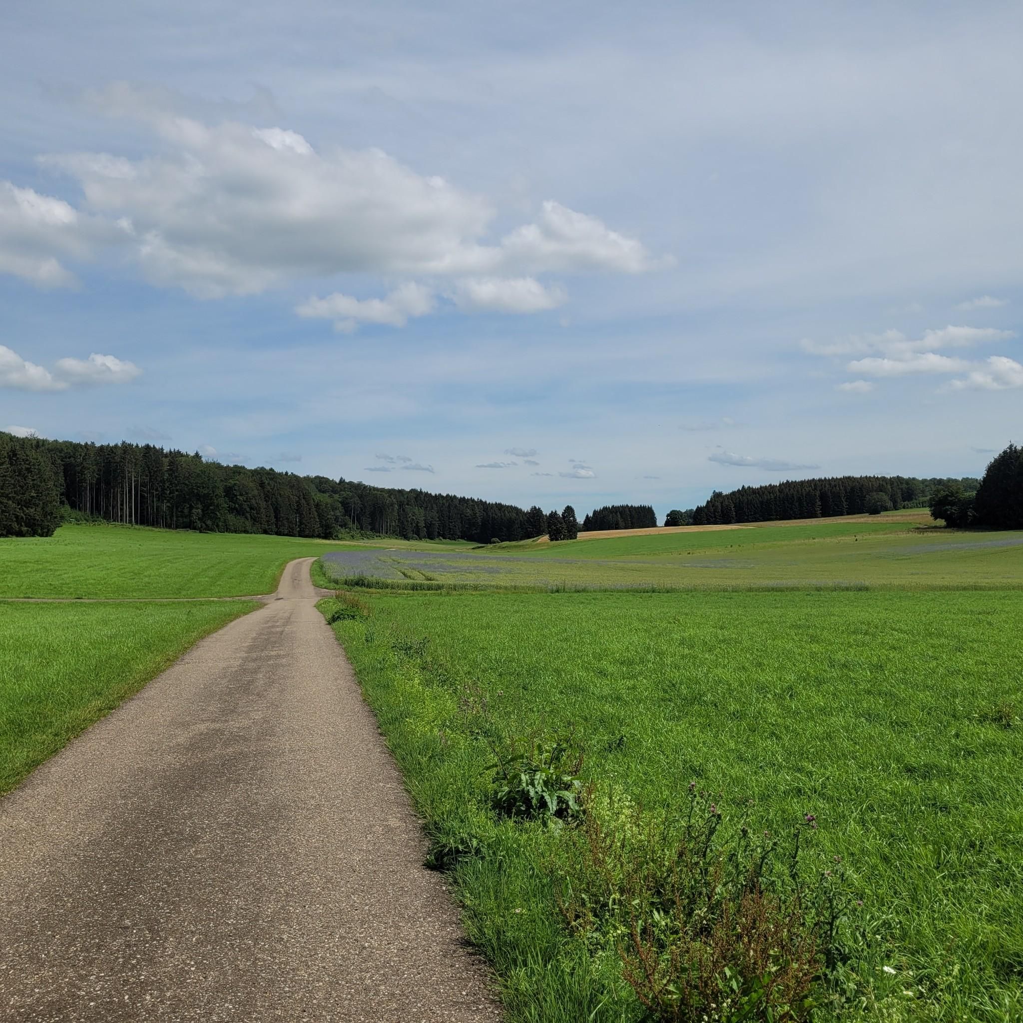
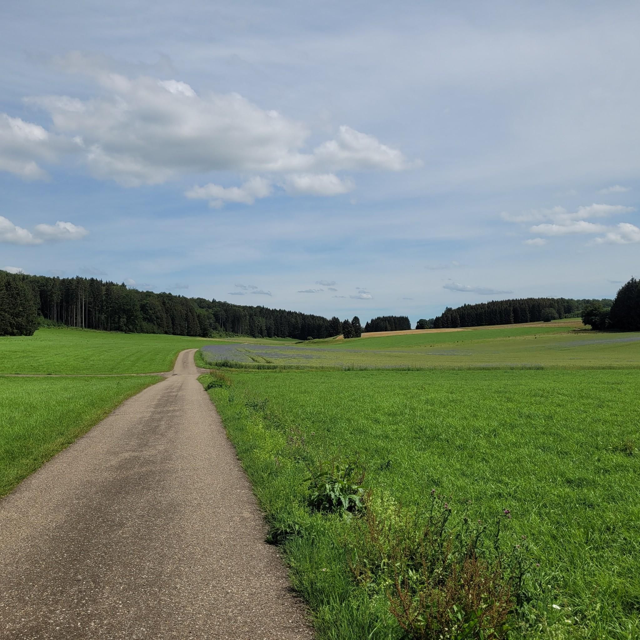
A beautiful valley that slopes gently downhill from Schopfloch. The route to Schopfloch continues with a steady climb of 2-4 percent.
0
0

Beautiful spot! You can still have some peace and quiet here in the early morning 😉
0
0

This section is not without danger, especially in snow and ice. The path near the cave is quite steep.
1
0

Great route when there are no hikers around. Otherwise, be careful 😉
1
1

Super great view from the Albtrauf down into the Albvorlabd.
1
0

Absolutely recommendable - a detour is worthwhile in any weather👍
0
0
Frequently Asked Questions
How many mountaineering routes are available around Hohenstadt?
There are several mountaineering routes around Hohenstadt, with komoot featuring at least 3 distinct tours. These routes primarily offer moderate challenges, allowing you to explore the diverse landscapes of the Swabian Jura.
What kind of natural features can I expect to see on mountaineering routes near Hohenstadt?
The region around Hohenstadt, part of the Swabian Jura, is characterized by rolling hills, scenic valleys, and distinctive limestone formations. You'll encounter dense forests, unique moorlands like the Schopflocher Moor, and elevated points offering panoramic views. The area is also known for its karst landscape, featuring caves and a dramatic steep escarpment known as the Albtrauf.
Are there any family-friendly mountaineering routes in Hohenstadt?
While the listed routes are generally moderate, many sections are suitable for families looking for an active day out. The Schopflocher Moor Boardwalk – Breitenstein Viewpoint loop, for instance, includes a boardwalk section which can be an interesting experience for children, combined with rewarding views.
Can I bring my dog on the mountaineering trails around Hohenstadt?
Most trails in the Swabian Jura are dog-friendly, but it's always recommended to keep your dog on a leash, especially in nature reserves or areas with livestock. The varied terrain, from forest paths to open viewpoints, offers a great experience for you and your canine companion.
What are some notable viewpoints or landmarks along the routes?
Mountaineering routes around Hohenstadt offer rewarding vistas from elevated points. The Schopflocher Moor Boardwalk – Breitenstein Viewpoint loop leads directly to the Breitenstein Viewpoint, a white Jura rock outcrop on the Albtrauf. You might also encounter the Zipfelbach Gorge or the Hepsisau Climb, which offers its own scenic perspectives.
Are there any circular mountaineering routes in the area?
Yes, several routes around Hohenstadt are designed as loops, allowing you to start and end at the same point. Examples include the Source of the Fils – View of Neidlingen Valley loop from Wiesensteig and the Boßler – Bürg loop from Kurzer Wasen - Roter Wasen, both offering diverse terrain and views.
What is the best time of year for mountaineering in Hohenstadt?
The Swabian Jura is beautiful year-round, but spring, summer, and autumn generally offer the most pleasant conditions for mountaineering. Spring brings blooming flora, summer provides warm weather, and autumn showcases vibrant foliage. Winter mountaineering is possible but requires appropriate gear for potentially snowy or icy conditions, especially on higher elevations or shaded paths.
Are there opportunities for rock climbing near Hohenstadt?
While Hohenstadt itself is primarily known for hiking, the broader Middle Swabian Alb, particularly around Bad Urach, offers significant opportunities for technical rock climbing. This area features over 20 climbing rocks and approximately 500 routes on limestone walls, catering to various skill levels.
How long do the mountaineering trails typically take to complete?
The duration of mountaineering trails around Hohenstadt varies depending on the route and your pace. For example, the Source of the Fils – View of Neidlingen Valley loop is approximately 6.1 miles (9.8 km) and typically takes about 2 hours 45 minutes, while the Boßler – Bürg loop is 3.9 miles (6.3 km) and can be completed in around 2 hours.
What do other mountaineers say about the routes in Hohenstadt?
The mountaineering routes in Hohenstadt are highly rated by the komoot community, with an average score of 5.0 stars from 1 review. Users often praise the varied terrain, rewarding vistas, and the natural beauty of the Swabian Jura.
Is there public transport available to access the mountaineering routes?
While specific public transport connections directly to every trailhead might vary, Hohenstadt is part of the broader Swabian Jura region which has some public transport options. It's advisable to check local bus schedules or regional train connections to nearby towns and plan your route accordingly, as some trailheads may require a short walk or taxi ride from the nearest stop.
Are there any waterfalls to see on the mountaineering routes?
The Swabian Jura region is home to notable natural monuments like the Neidlingen Waterfall. While not directly on every mountaineering route from Hohenstadt, it's a significant natural feature in the wider area that can be explored as part of a dedicated hike or visit.
Most popular routes around Hohenstadt
Most popular attractions around Hohenstadt

Get inspired with the komoot mobile app


Explore more
Browse the best Mountain Hikes & Routes in other regions.
