The best mountain hikes around Langenlonsheim
5.0
(2)
8
hikers
4
hikes
Mountaineering routes around Langenlonsheim traverse a landscape shaped by the confluence of the Nahe and Rhine Valleys. The region features rolling hills, extensive vineyards, and dense forests, offering varied terrain for ascents. Notable natural features include the impressive Roteinstenfelsen, a red rock cliff providing elevated viewpoints, and the proximity to the Soonwald-Nahe Nature Park.
Best mountaineering routes around Langenlonsheim
- The most popular mountaineering route is Prinzenkopf – Damianskopf loop from Bingen (Rhein) Hauptbahnhof, a 12.6 miles (20.2 km) trail…
Last updated: October 6, 2026
5.0
(1)
6
hikers
Hard mountaineering route. Very good fitness required. Easily-accessible paths. Suitable for all skill levels.
15.5km
04:33
410m
410m
Moderate mountaineering route. Good fitness required. Mostly accessible paths. Sure-footedness required.

1
hikers
14.5km
04:12
350m
350m
Moderate mountaineering route. Good fitness required. Mostly accessible paths. Sure-footedness required.
5.0
(2)
2
hikers
Moderate mountaineering route. Good fitness required. Easily-accessible paths. Suitable for all skill levels.
Our route recommendations are based on thousands of hikes, rides, and runs completed by other people on komoot.
Start today with a free account
Your next adventure awaits.
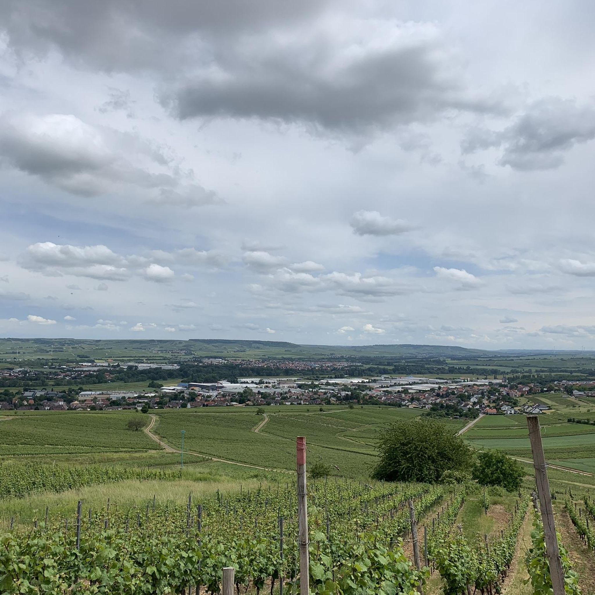
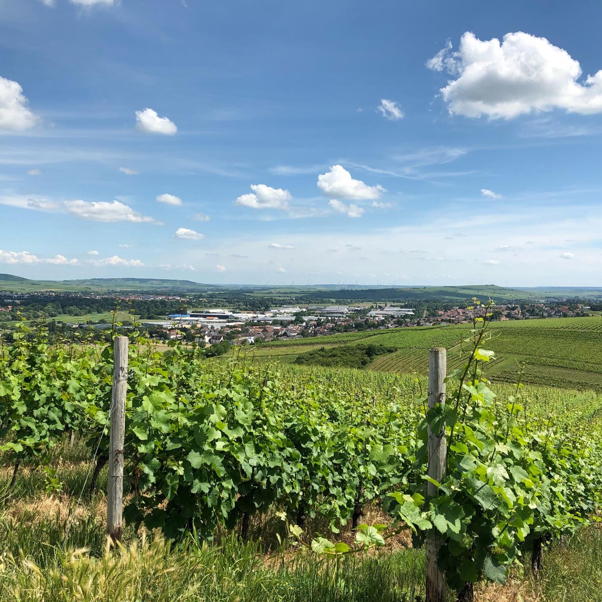
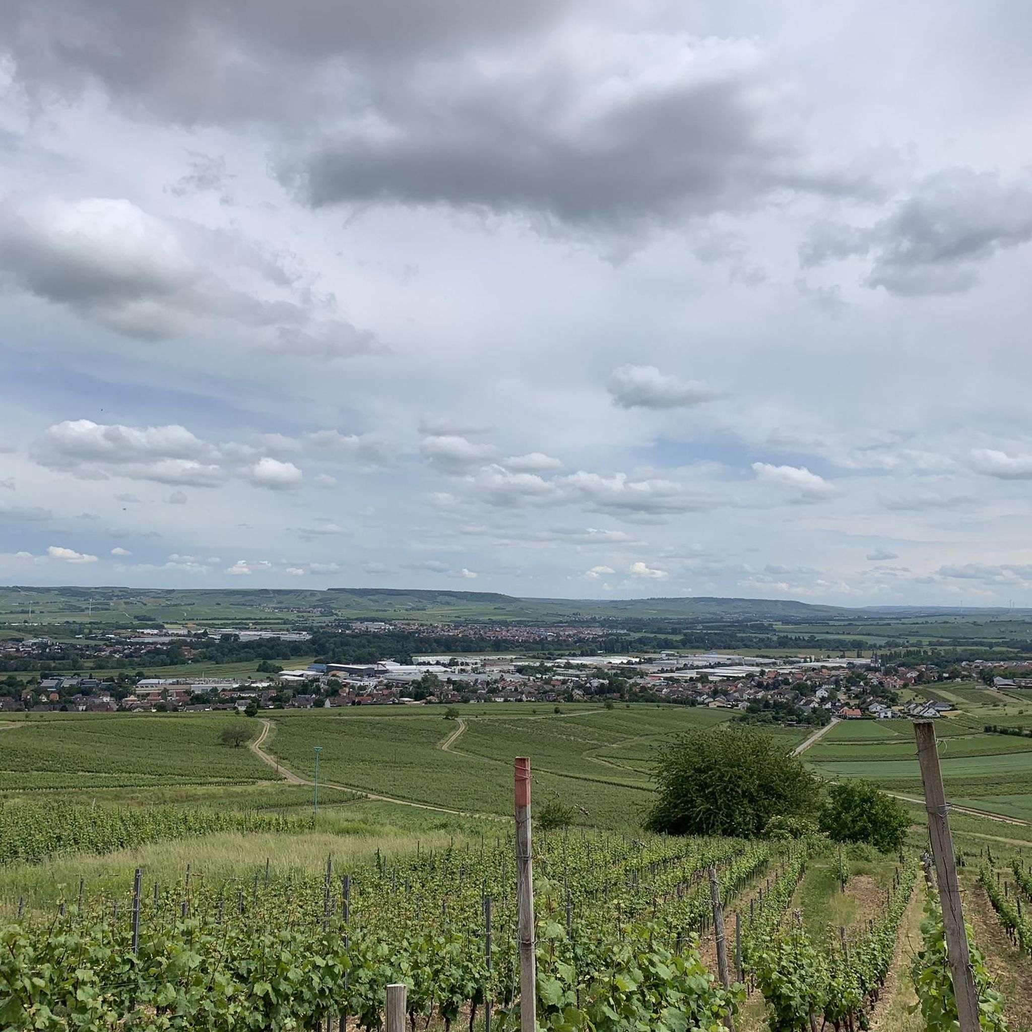
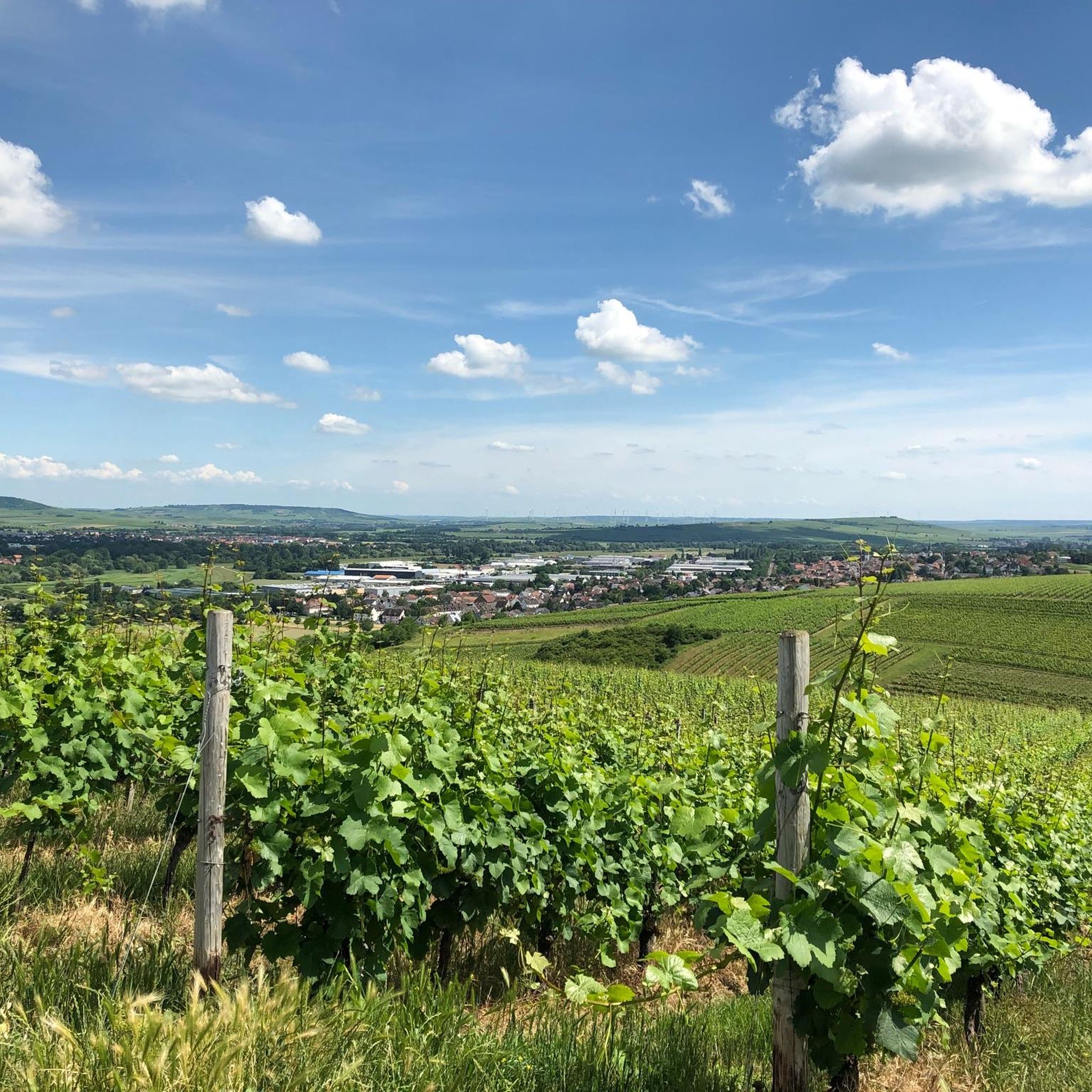
Tips from the Community

Meanwhile a "Lost Place" - closed, unkempt grounds, for sale.... a pity for the fantastic, no longer accessible view.
0
0

Fantastic views.. the way here is worth it
9
0
A little sure-footedness and no flip-flops.. then it's fine
9
0


Extreme CAUTION when swimming the Rhine can be very dangerous with its invisible currents and shallows
1
0

This is not the viewpoint on the Rotenfels, but a side view of the Rotenfels.
3
0

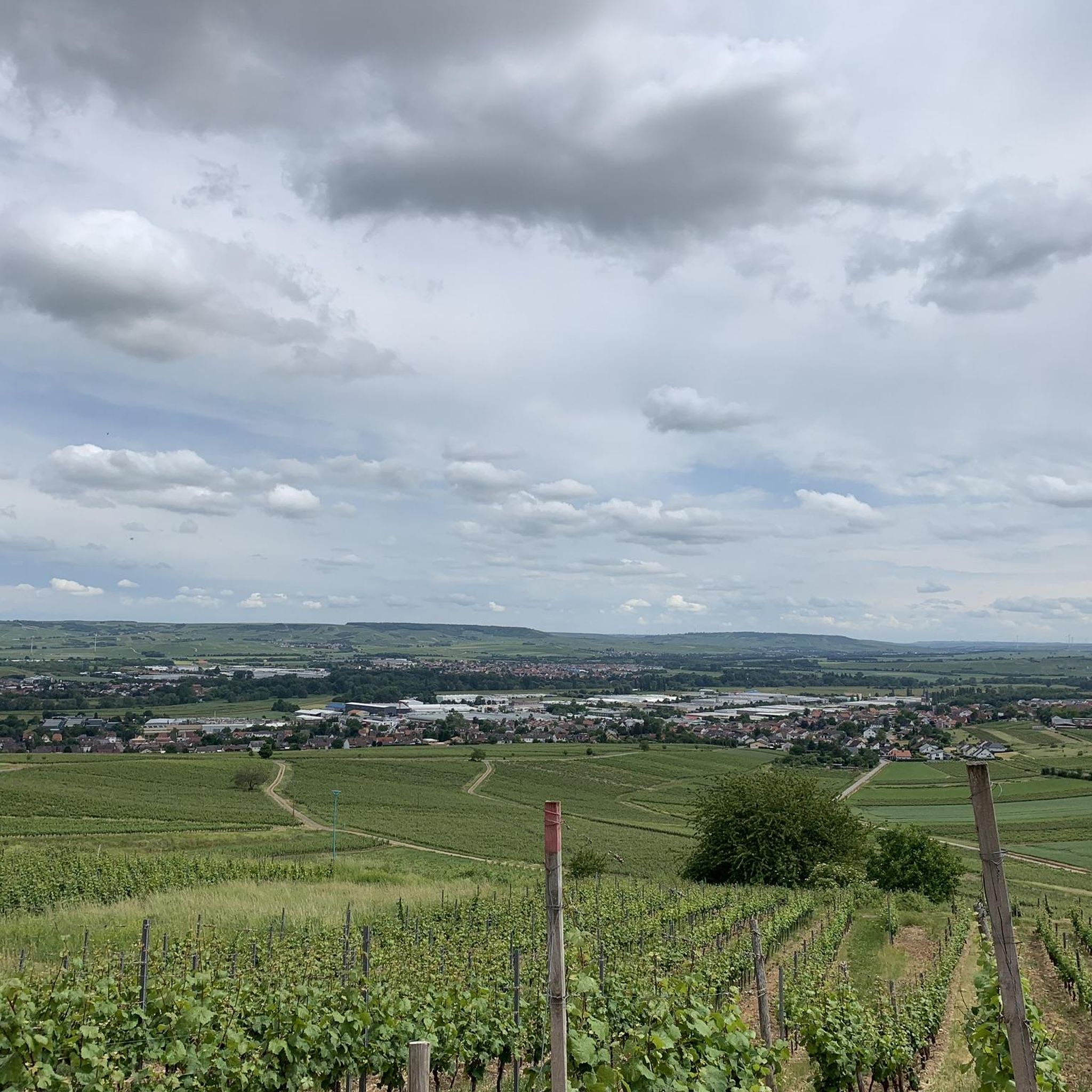
Beautiful view of the Nahe
3
0

It is no longer possible to drive on it as it is overgrown with thorn bushes. Fallen trees are also blocking the way. It is better to go around the outside of the road to the junction.
0
0
Frequently Asked Questions
How many mountaineering routes are available around Langenlonsheim?
There are currently 4 mountaineering routes detailed around Langenlonsheim, offering a range of experiences from moderate to difficult ascents through the region's scenic landscapes.
Are there any circular mountaineering routes in the Langenlonsheim area?
Yes, several routes are designed as loops. For instance, the Prinzenkopf – Damianskopf loop from Bingen (Rhein) Hauptbahnhof is a challenging 20.2 km circular tour, and the Rotenfels Ascent Trail – Karlshalle Graduation Tower loop from Bad Kreuznach offers a moderate 15.3 km circular experience.
What are the best routes for experiencing the region's famous viewpoints?
The region is known for its impressive vistas. The Prinzenkopf – Damianskopf loop from Bingen (Rhein) Hauptbahnhof offers panoramic views over the Nahe and Rhine Valleys. Additionally, the Rotenfels Ascent Trail – Karlshalle Graduation Tower loop from Bad Kreuznach provides ascents to the impressive Roteinstenfelsen, a red rock cliff known for its magnificent views.
Are there any family-friendly mountaineering options near Langenlonsheim?
While the listed mountaineering routes are generally moderate to difficult, the broader region offers diverse hiking. For a unique, whimsical experience that families might enjoy, consider exploring the nearby Steckeschlääferklamm – Tree Spirits Trail, which features over 60 carved forest spirits. For specific family-friendly mountaineering routes, look for shorter, less strenuous options or consider the Rheinstein Castle – View of Reichenstein Castle loop from Wanderparkplatz Steckeschlääferklamm, which is a moderate 11.6 km route.
What kind of natural attractions can I expect to see along the mountaineering routes?
The routes traverse a landscape rich in natural beauty. You'll encounter rolling hills, extensive vineyards, and dense forests. Notable features include the impressive Roteinstenfelsen (Red Rock Cliff) and the proximity to the Soonwald-Nahe Nature Park. You might also pass by highlights such as the View from the Gans (Bad Kreuznach) or the Zotzenheimer Horn Viewpoint.
What is the best time of year for mountaineering in Langenlonsheim?
The region is beautiful year-round, but spring and autumn are particularly recommended. Spring brings lush greenery and blooming vineyards, while autumn offers vibrant colors. Summer is also suitable, though it can be warmer. Always check local weather conditions before heading out.
Are there any historical or cultural landmarks visible from the trails?
Yes, the region is dotted with historical sites. The Heiligkreuz Forest Inn – Rheinstein Castle loop from Bingen leads through forested hills and past historic sites, including the impressive Rheinstein Castle. The nearby Niederwald Monument, accessible via hiking routes from Rüdesheim, also offers fantastic views and commemorates German unification.
What is the difficulty level of the mountaineering routes around Langenlonsheim?
The routes around Langenlonsheim offer a mix of challenges. You'll find moderate ascents, such as the Heiligkreuz Forest Inn – Rheinstein Castle loop from Bingen, as well as more difficult routes like the Prinzenkopf – Damianskopf loop from Bingen (Rhein) Hauptbahnhof, which features significant elevation gain.
What do other mountaineers say about the routes in Langenlonsheim?
The mountaineering routes in Langenlonsheim are highly rated by the komoot community, with an average score of 5.0 stars. Users often praise the varied terrain, the scenic views over the valleys, and the well-maintained paths that lead through forests and past vineyards.
Are there options for longer, more challenging mountaineering tours?
For those seeking a longer and more challenging experience, the Prinzenkopf – Damianskopf loop from Bingen (Rhein) Hauptbahnhof is a difficult 20.2 km route with significant elevation gain, typically taking over 6 hours to complete. This route provides an extensive exploration of the region's demanding terrain.
Are there any specific highlights or points of interest to look out for on these routes?
Beyond the stunning natural landscapes, keep an eye out for specific viewpoints like the Gans (321.7 m) – Highest Point of the Salinental or the Bacharacher Kopf. The routes also offer glimpses of the Nahe and Rhine Valleys, and some pass near historical castles.
Is it possible to reach the mountaineering trails using public transport?
Many routes in the wider region, including some mountaineering trails, are accessible via public transport, particularly those starting from larger towns like Bingen (Rhein) Hauptbahnhof or Bad Kreuznach. It's advisable to check local bus and train schedules for specific starting points like the Prinzenkopf – Damianskopf loop from Bingen (Rhein) Hauptbahnhof.
Most popular routes around Langenlonsheim
Most popular attractions around Langenlonsheim

Get inspired with the komoot mobile app


Explore more
Browse the best Mountain Hikes & Routes in other regions.
