The best mountain hikes around Hilders
5.0
(5)
13
hikers
5
hikes
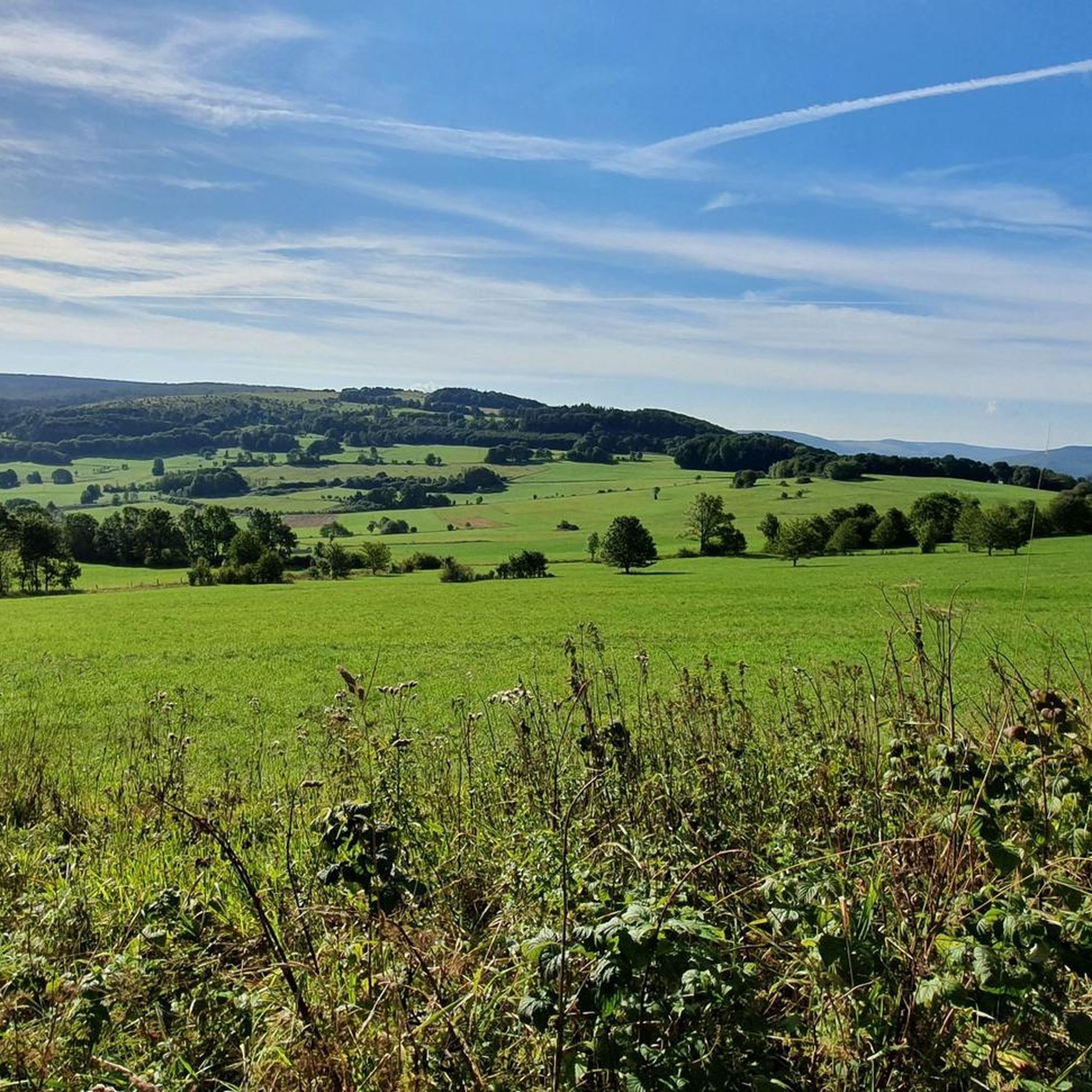
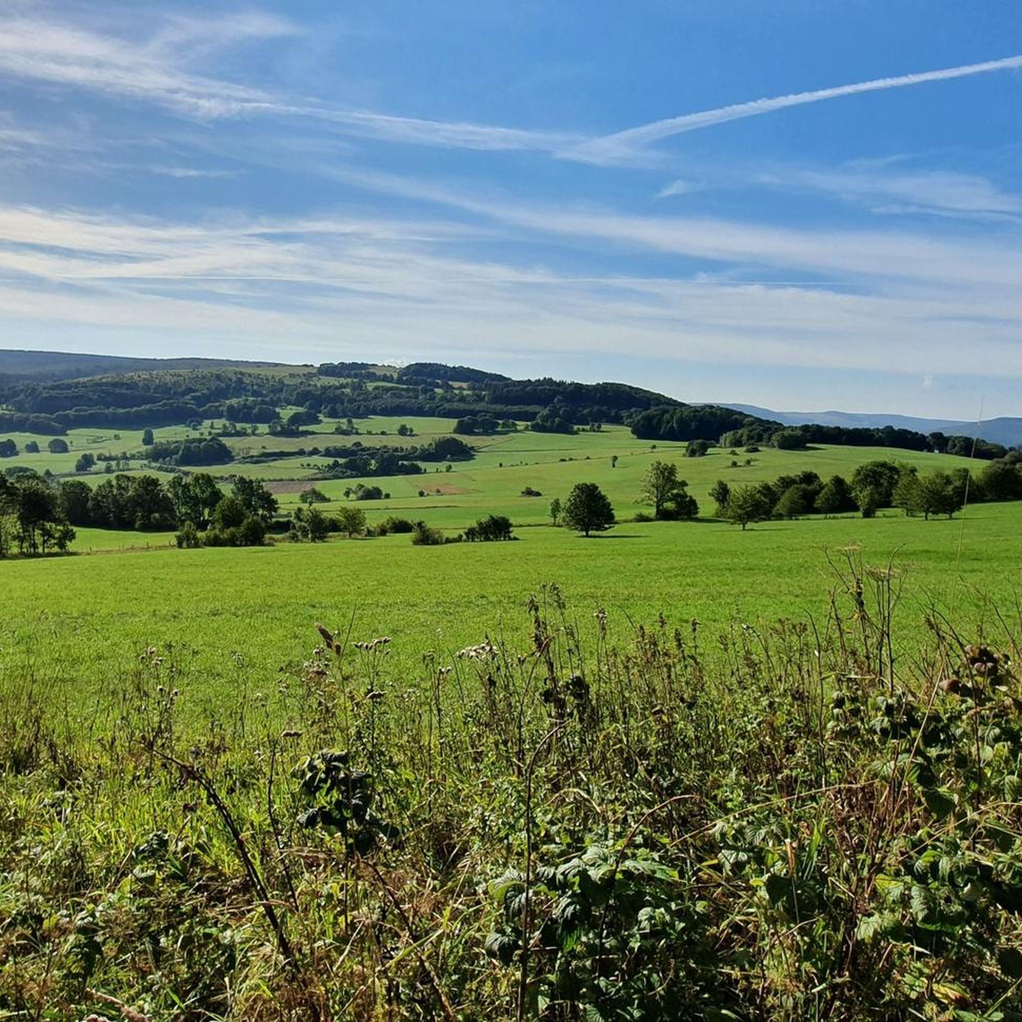
Mountaineering routes around Hilders are situated within the Rhön Biosphere Reserve, characterized by a landscape of rolling hills, ancient volcanic cones, and dense forests. The region features varied terrain, including open meadows, wooded slopes, and elevated plateaus, offering diverse conditions for mountaineering. Elevations are generally moderate, providing accessible ascents and panoramic views across the Fulda Berge.
Best mountaineering routes around Hilders
- The most popular mountaineering route is Pfertskopf loop from Wasserkuppe, a 4.7 miles (7.6 km) trail that takes 2 hours 25 minutes to complete. This route features a moderate ascent and views of the surrounding Rhön landscape.
- Another top favourite among local mountaineers is Summit of Milseburg loop from Malerdorf Kleinsassen, a moderate 7.1 miles (11.5 km) path. This trail includes a significant climb to the Milseburg summit, offering expansive vistas.
- Local mountaineers also love the Cascade Gorge – View of the Wasserkuppe loop from Rotes Moor, a 4.5 miles (7.3 km) trail leading through varied forest and open areas, often completed in about 2 hours 5 minutes.
- Mountaineering around Hilders is defined by volcanic hills, forested paths, and open plateaus. The network offers options for different ability levels, with all routes in this guide rated as moderate.
- The routes in Hilders are highly rated by the komoot community with an average score of 5.0 stars from 4 reviews. More than 20 mountaineers have used komoot to explore Hilders's varied terrain.
Last updated: October 18, 2026
5.0
(4)
7
hikers
7.70km
02:26
290m
290m
Moderate mountaineering route. Good fitness required. Mostly accessible paths. Sure-footedness required.
1
hikers
7.31km
02:05
170m
170m
Moderate mountaineering route. Good fitness required. Easily-accessible paths. Suitable for all skill levels.

5.0
(1)
3
hikers
4.18km
01:23
190m
190m
Moderate mountaineering route. Great for any fitness level. Mostly accessible paths. Sure-footedness required.
2
hikers
4.85km
01:34
190m
190m
Moderate mountaineering route. Great for any fitness level. Mostly accessible paths. Sure-footedness required.
Moderate mountaineering route. Good fitness required. Mostly accessible paths. Sure-footedness required.
Our route recommendations are based on thousands of hikes, rides, and runs completed by other people on komoot.
Start today with a free account
Your next adventure awaits.
Popular around Hilders
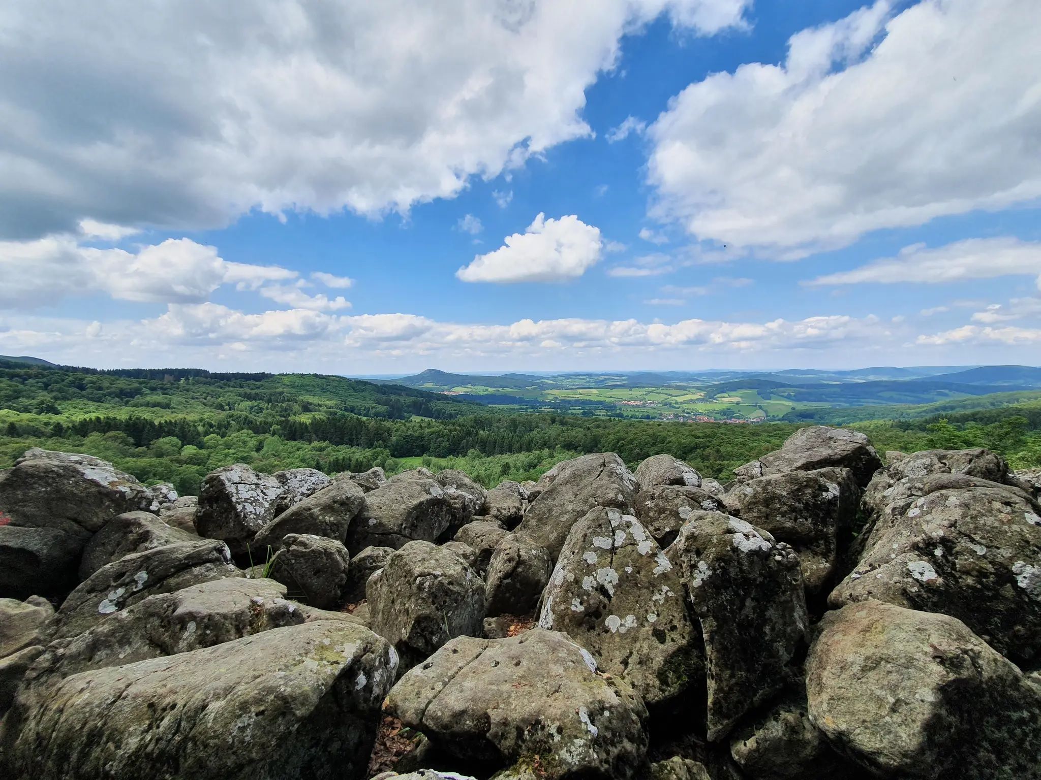
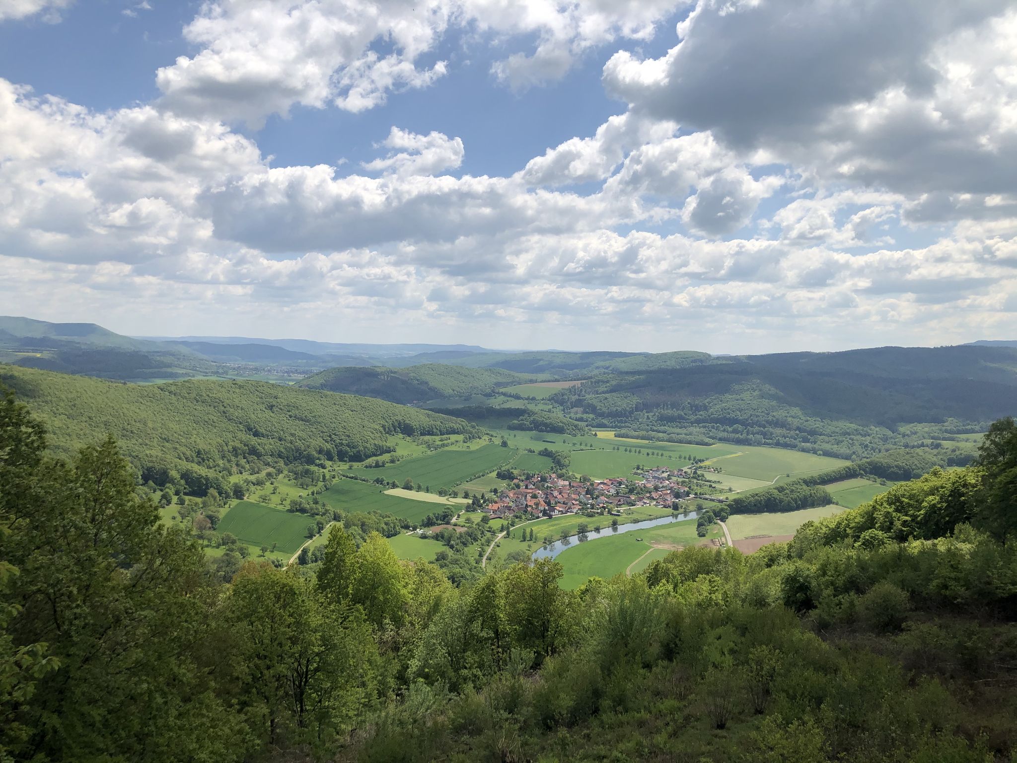
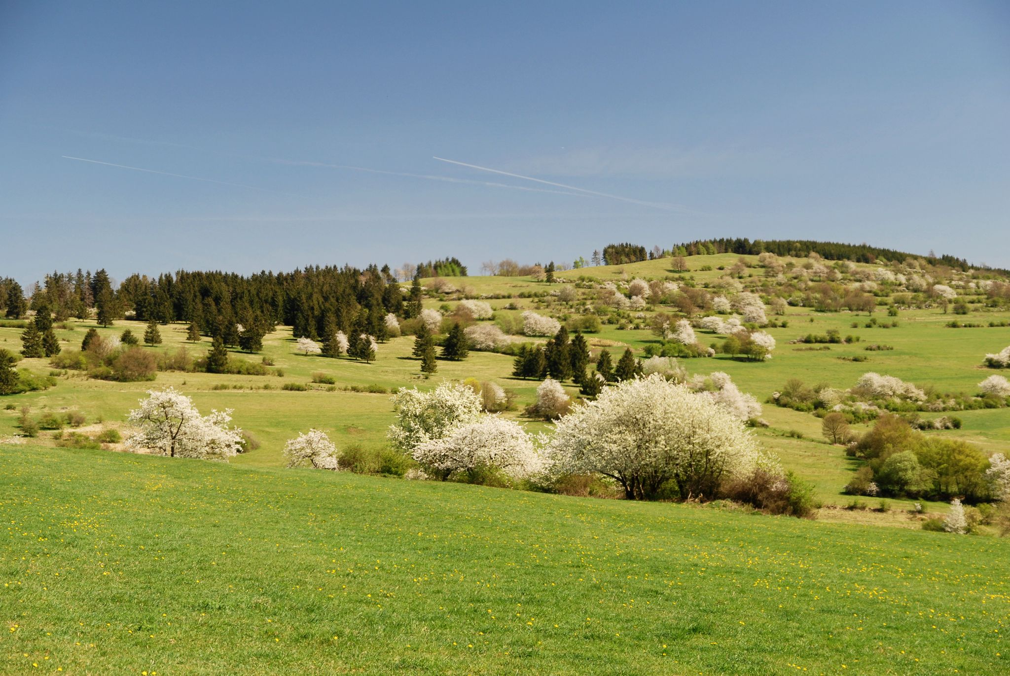
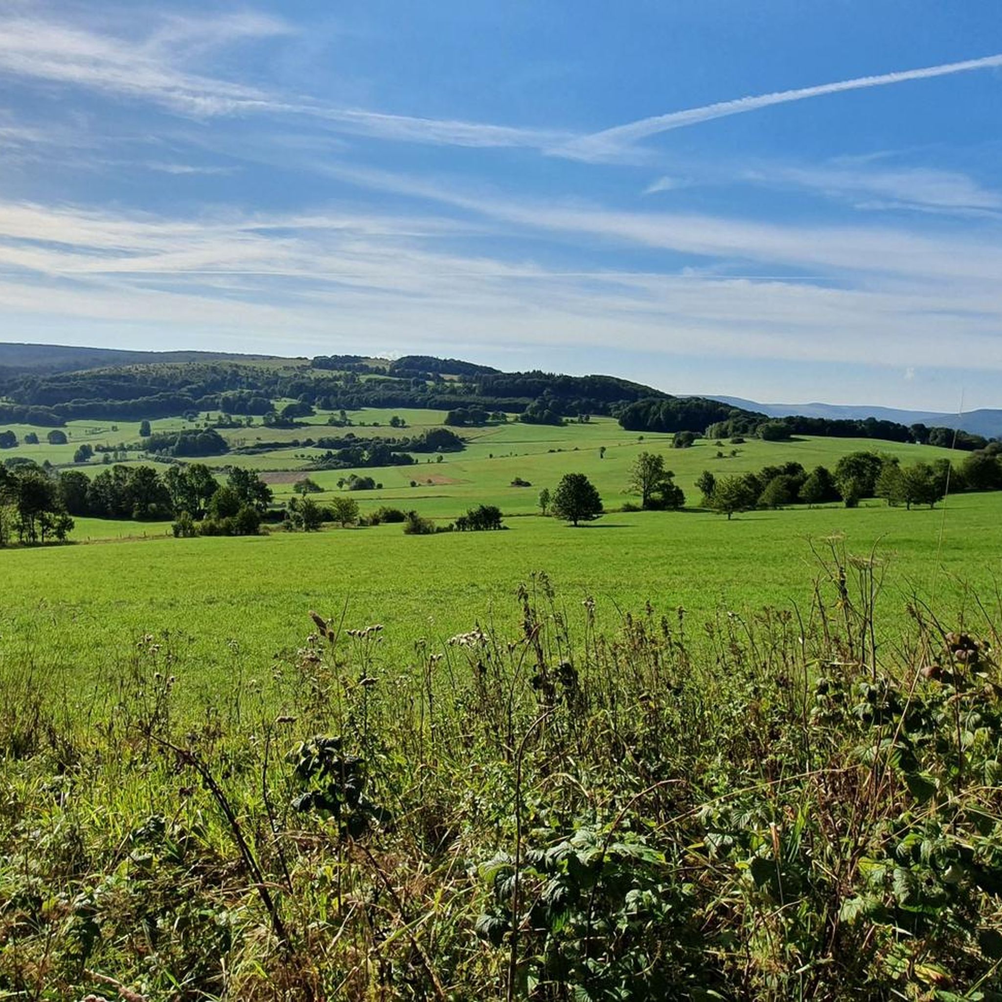



Tips from the Community


One of the best views in the Rhön
0
0
Great, you can observe a lot there
0
0

An impressive view over the entire region.
0
0
Great bench to enjoy the panorama.
0
0
Exactly in the right place
0
0

Beautiful dangling bench on the summit of Pferdskopf to let your legs and soul dangle.
0
0

Wow! We didn't expect that! What a view
1
0
Frequently Asked Questions
How many mountaineering routes are available around Hilders?
There are several mountaineering routes around Hilders, with this guide featuring 7 distinct trails. All routes are rated as moderate, offering a good balance of challenge and accessibility within the Rhön Biosphere Reserve.
Are there any easy or beginner-friendly mountaineering routes in Hilders?
All the mountaineering routes featured in this guide around Hilders are rated as moderate. While they require a reasonable level of fitness, they are generally accessible and do not involve technical climbing, making them suitable for beginners looking for a bit more challenge than a simple walk. The region's rolling hills and moderate elevations provide a good introduction to mountaineering.
What kind of terrain can I expect on mountaineering routes near Hilders?
The terrain around Hilders is diverse, characterized by the Rhön Biosphere Reserve's landscape. You can expect a mix of rolling hills, ancient volcanic cones, dense forests, open meadows, wooded slopes, and elevated plateaus. Routes often feature varied surfaces, from forest paths to more open, exposed sections offering panoramic views.
Are there any circular mountaineering trails in the Hilders area?
Yes, many of the mountaineering routes around Hilders are designed as circular trails, allowing you to start and end at the same point. For example, the Pfertskopf loop from Wasserkuppe is a great option for a round trip, offering scenic views and a moderate challenge.
What attractions or landmarks can I see along the mountaineering routes near Hilders?
The routes often pass by or offer views of notable landmarks. For instance, the Milseburg – View from Milseburg loop from Malerdorf Kleinsassen takes you near the impressive Milseburg Summit and Crucifixion Group. Other routes might lead you past the Wasserkuppe aviation memorial or offer glimpses of the Pferdskopf Summit.
Are there any routes that feature gorges or waterfalls?
Yes, the region around Hilders is known for its natural beauty, including gorges. You can explore the Cascade Gorge, which is part of the Cascade Gorge – View of the Wasserkuppe loop from Rotes Moor. Another notable spot is the Schwarzbach Gorge and the Teufelsmühle (Devil’s Mill) Waterfall, offering a refreshing experience.
What do other mountaineers say about the routes in Hilders?
The mountaineering routes in Hilders are highly regarded by the komoot community, holding an average rating of 5.0 stars. Visitors often praise the well-maintained paths, the diverse landscapes, and the rewarding panoramic views across the Fulda Berge from elevated points.
Is public transport available to access mountaineering routes near Hilders?
Access to specific trailheads by public transport can vary. While Hilders itself is served by regional buses, reaching the starting points of some more remote mountaineering routes might require a combination of public transport and a short walk, or a taxi. It's advisable to check local bus schedules for the Rhön region when planning your trip.
Are there family-friendly mountaineering options around Hilders?
Given that all routes in this guide are rated as moderate, they can be suitable for active families with older children who are accustomed to hiking. The varied terrain and points of interest like the Boardwalk Trail Through the Rotes Moor or the Guckaisee can add extra appeal for a family outing.
What is the best time of year for mountaineering in Hilders?
The Rhön Biosphere Reserve is beautiful throughout the warmer months. Spring brings blooming meadows, while summer offers lush green landscapes. Autumn is particularly scenic with vibrant fall foliage. While winter mountaineering is possible, conditions can be challenging with snow and ice, requiring appropriate gear and experience.
Are there any cafes or pubs near the mountaineering routes in Hilders?
Yes, the Rhön region is dotted with traditional guesthouses and cafes, especially in and around villages like Hilders and near popular starting points such as Wasserkuppe. Many routes will have opportunities to stop for refreshments, particularly after completing a tour. It's a good idea to check opening times in advance, especially outside of peak season.
Most popular routes around Hilders
Most popular attractions around Hilders

Get inspired with the komoot mobile app


Explore more
Browse the best Mountain Hikes & Routes in other regions.
