The best running trails around Fornach
4.4
(55)
2,129
runners
253
runs
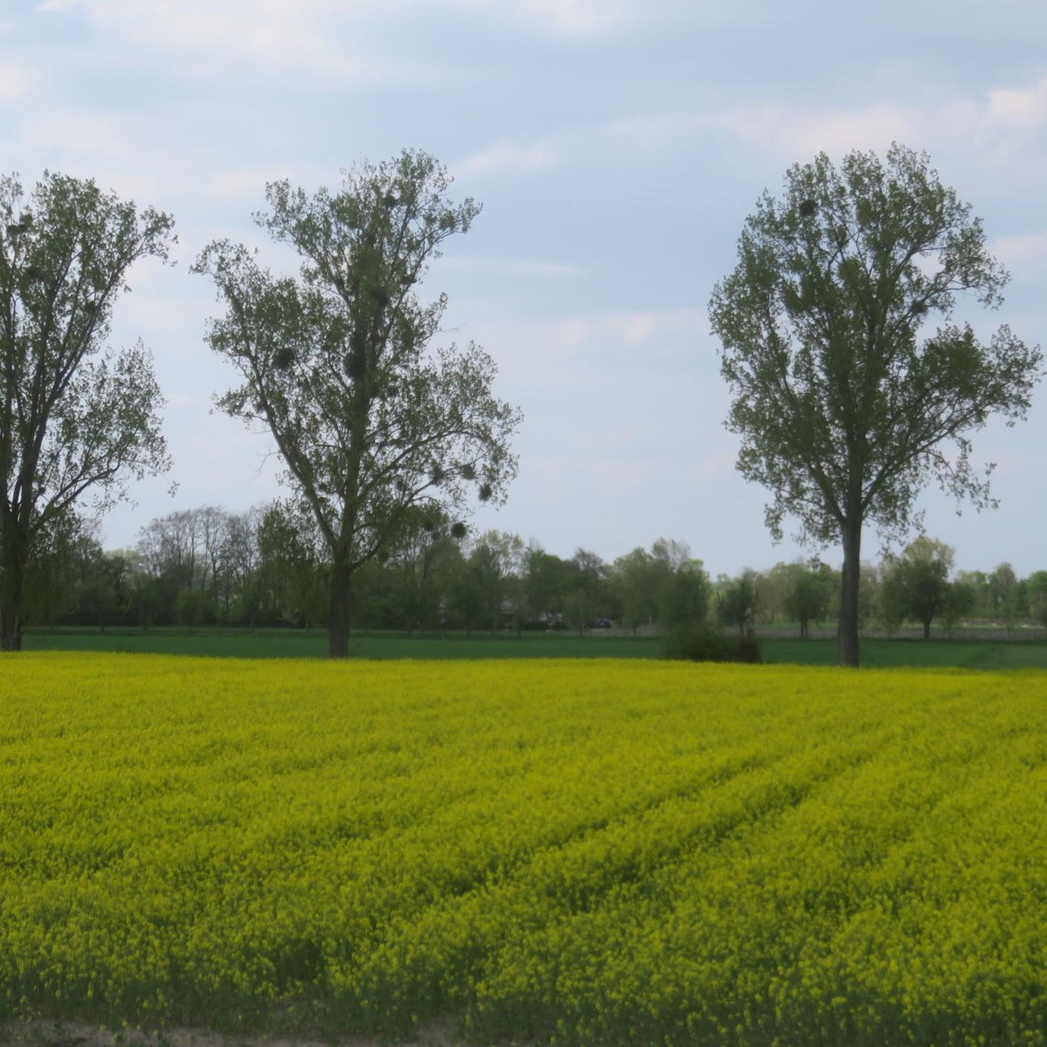
Jogging around Fornach offers diverse natural features for outdoor enthusiasts. The region, nestled at the foot of the Hausruck, provides easily accessible paths through varied terrain. Joggers can experience routes winding through lush green meadows, shadowy forests, and areas with views of the Alpine Foothills. The landscape also features beautifully situated ponds, particularly around the source of the Tiefenbach, adding to the natural environment.
Best jogging routes around Fornach
- The most popular jogging route is Running loop from Fornach,…
Last updated: July 2, 2026
25
runners
7.27km
00:46
80m
80m
Moderate run. Good fitness required. Mostly paved surfaces. Suitable for all skill levels.
17
runners
5.83km
00:37
50m
50m
Moderate run. Good fitness required. Mostly paved surfaces. Suitable for all skill levels.

Sign up for free
10
runners
8.67km
01:00
200m
200m
Moderate run. Good fitness required. Mostly paved surfaces. Suitable for all skill levels.
2
runners
17.3km
01:52
280m
280m
Hard run. Very good fitness required. Mostly paved surfaces. Suitable for all skill levels.
2
runners
6.14km
00:41
150m
150m
Moderate run. Good fitness required. Mostly paved surfaces. Suitable for all skill levels.
Get access to more routes and recommendations from other explorers.
Sign up for free
Already have an account?
Our route recommendations are based on thousands of hikes, rides, and runs completed by other people on komoot.
Start today with a free account
Your next adventure awaits.
Login or Signup
Tips from the Community

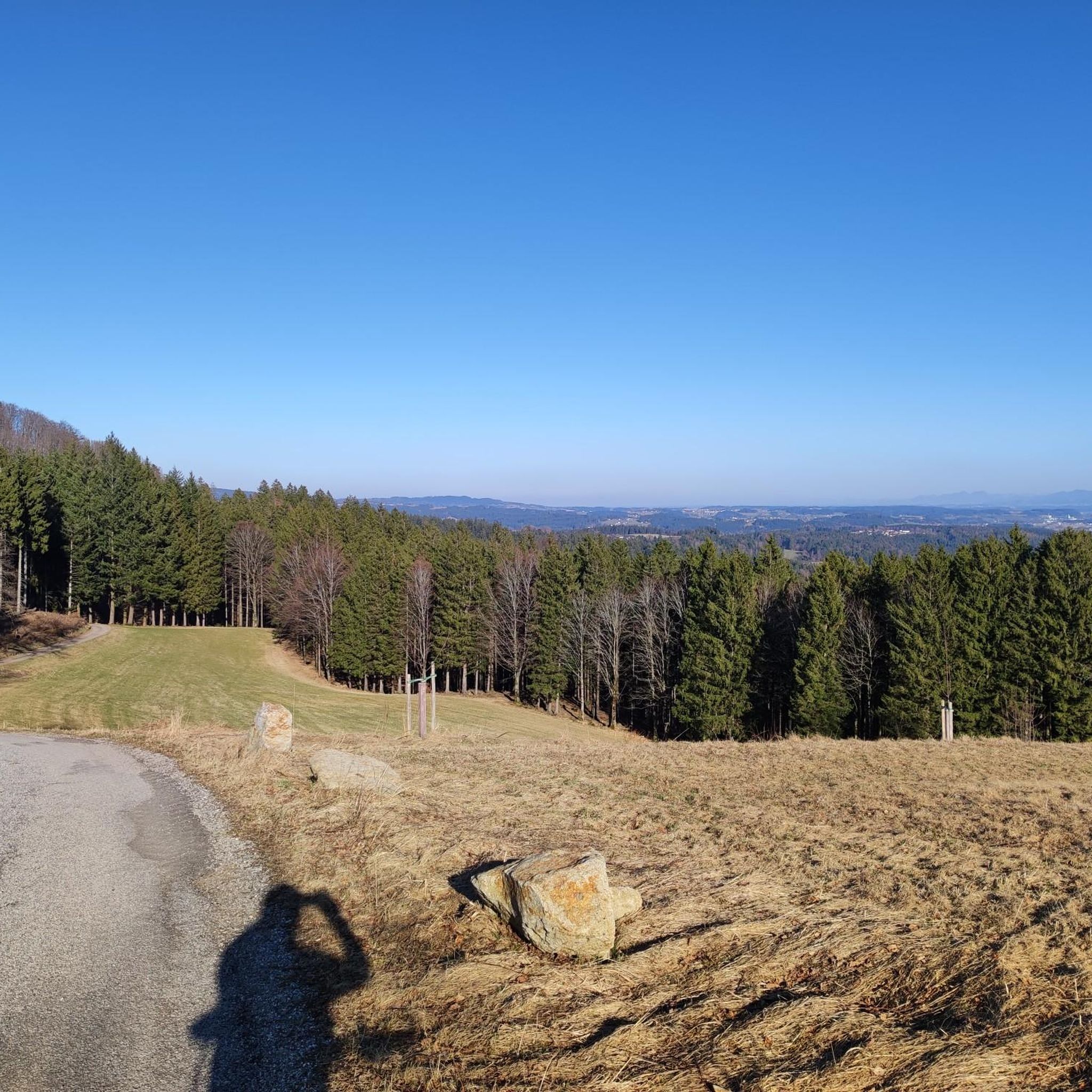
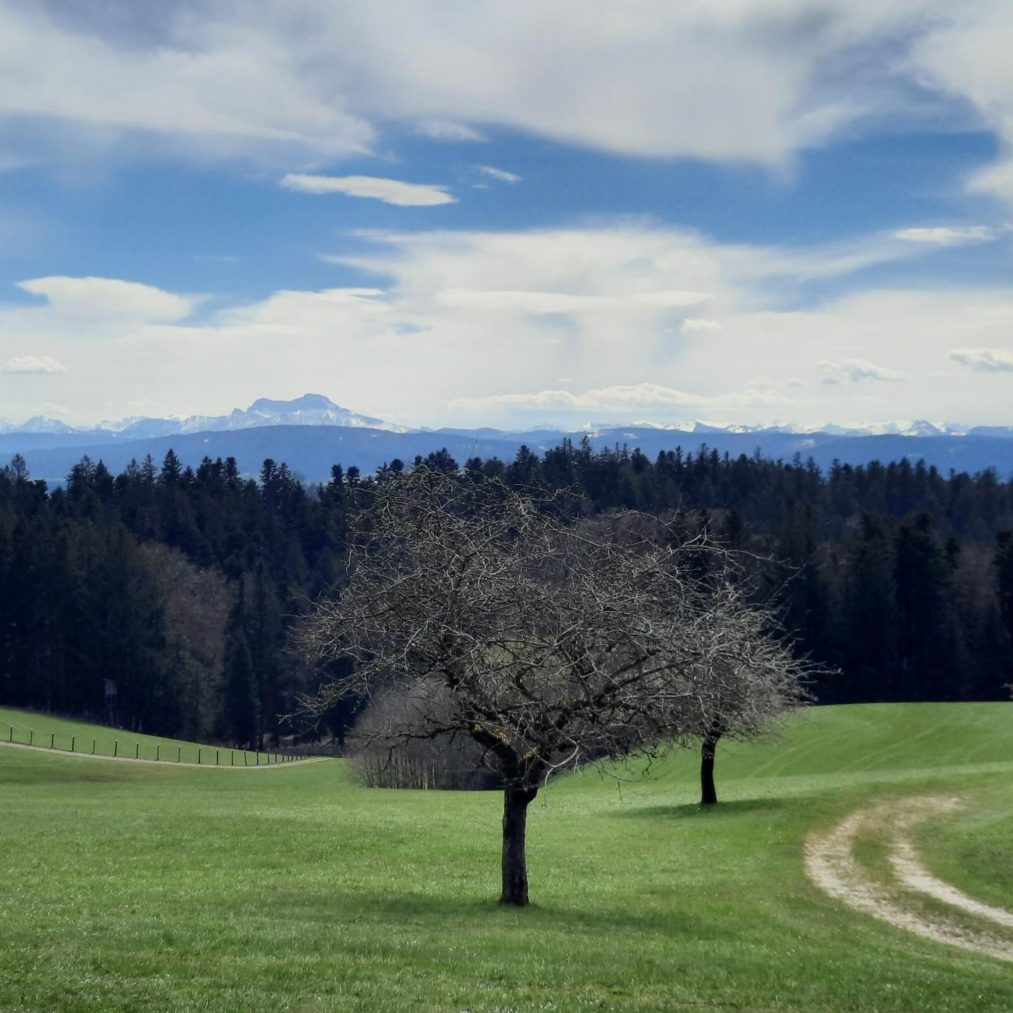
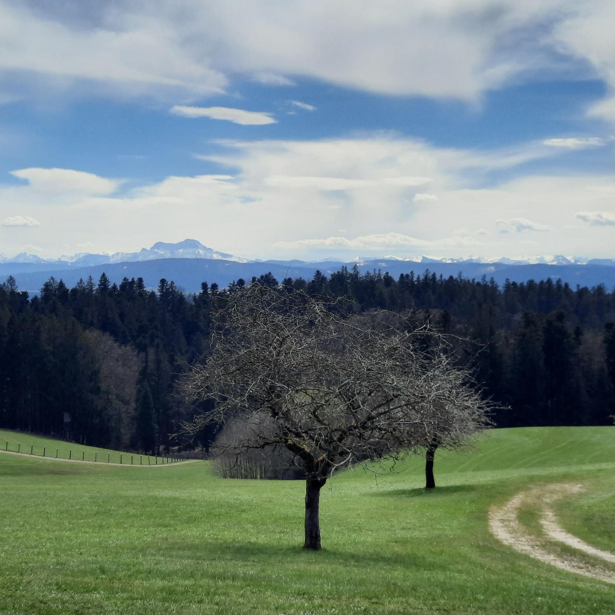
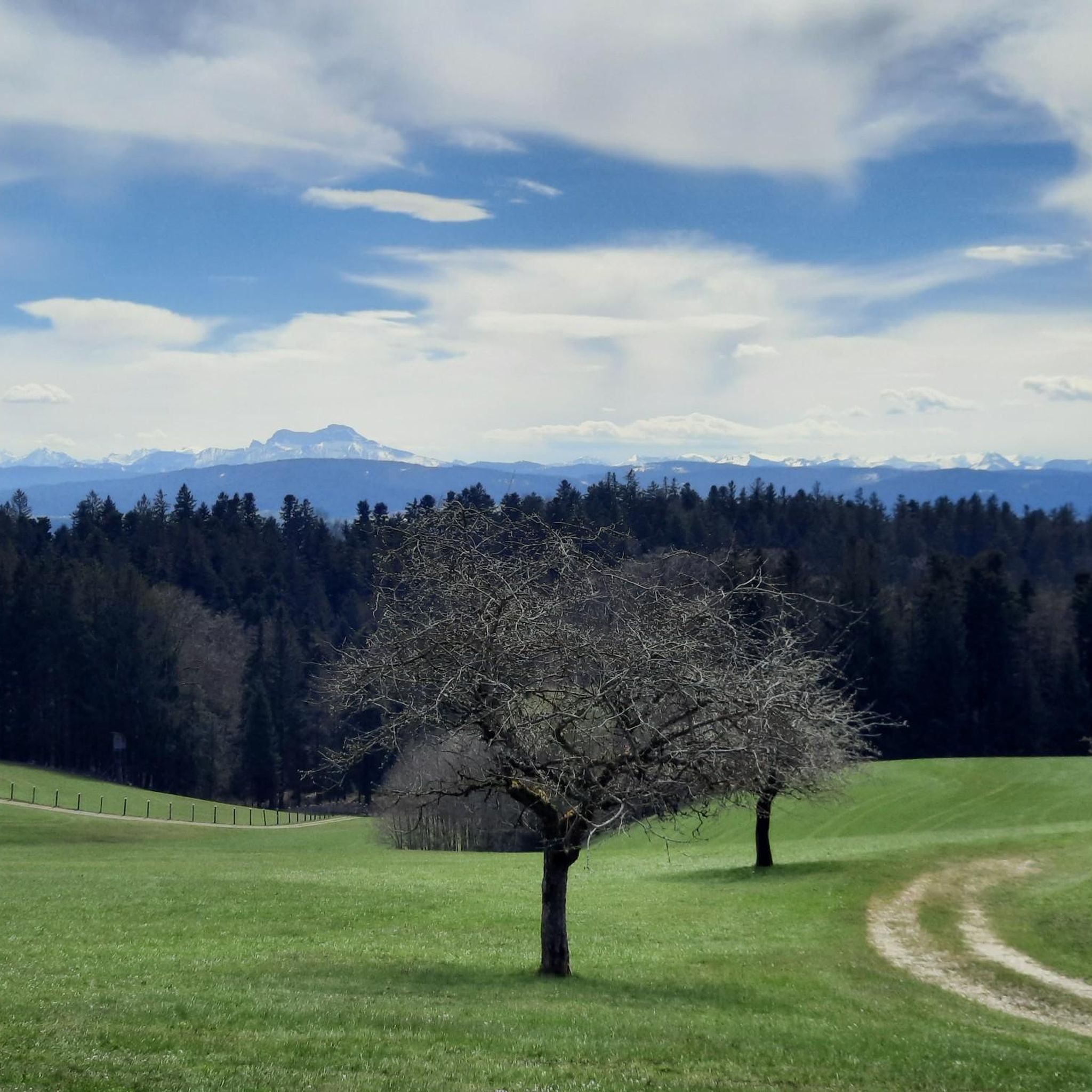
The climb up the road from Fornach is a bit tough, but it's worth it. It offers a stunning panorama from the Traunstein Mountains over the Höllengebirge/Schafberg, the peaks of Salzburg and Berchtesgaden to the Kobernaußerwald forest in the west.
0
0

It is a 734 meter high mountain in the Hausruck and Kobernausserwald range in the Hausruckviertel. The summit is in the municipality of Pöndorf. To the northwest, the Rabenbachtal leads to the Hochecker Schwemmbachtal and thus to Mattig and Inn, to the west is the Fornacher Redltal, which drains with the Bruckwiesenbach to the Vöckla and via the Ager to the Traun. The mountain is mostly counted towards the Kobernausserwald, partly also towards the Hausruck – the demarcation of which is seen somewhere in the room. The name is likely to be of Slavic origin, -eis is a typical Windian educational syllable. In the Franciscan cadastre of the 1830s, a small hilltop settlement of Branauer is listed here, as well as an important border tree. There is said to have been an inn here. A single hut still stands today. A chapel is said to have stood nearby even earlier, according to Carl Schütz in 1787, in the south towards Meisterholz there is a St. Wolfgang. It must have fallen into disrepair by the 1830s. The mountain can be reached from all sides on numerous forest roads, through the valleys as well as along the ridges. A forest road also runs along the ridge itself. This makes the area good for hiking and mountain biking
2
0
Frequently Asked Questions
How many running routes are available in Fornach?
Fornach offers a wide selection of running routes, with over 250 trails available for you to explore. These routes cater to various preferences, ranging from easy strolls to more challenging runs.
What are the difficulty levels of the running trails in Fornach?
The running trails in Fornach are diverse, with options for all fitness levels. You'll find approximately 20 easy routes, over 200 moderate trails, and around 30 more difficult paths for those seeking a greater challenge.
What kind of landscapes can I expect on the running trails around Fornach?
The running trails around Fornach offer a beautiful variety of landscapes. You can expect to run through lush green meadows, shadowy forests, and areas with stunning views of the Alpine Foothills. The region also features tranquil ponds, particularly around the source of the Tiefenbach, adding to the natural charm.
Are there easy running routes suitable for beginners in Fornach?
Yes, Fornach has several easy running routes perfect for beginners or those looking for a relaxed jog. Many of the well-maintained trails are categorized as 'easy' and are suitable for all fitness levels. For example, the 'View of the Alpine Foothills loop from Fornach' is a great option for a scenic and manageable run.
Can I find longer running trails for endurance training in Fornach?
Absolutely. Fornach offers longer running trails suitable for endurance training. A notable option is the Kalteis Hut loop from Fornach, which covers approximately 17.3 kilometers (10.7 miles) with significant elevation gain, providing a good challenge for experienced runners.
Are there any circular running routes in Fornach?
Yes, many of the running routes in Fornach are circular, allowing you to start and end in the same location. Popular circular options include the Running loop from Fornach (7.3 km) and the Kogelholz loop from Fornach (6.1 km), both offering diverse scenery.
What do other runners say about the trails in Fornach?
The running trails in Fornach are highly regarded by the komoot community, boasting an average rating of 4.3 stars from over 50 reviews. Runners often praise the varied terrain, the well-maintained paths, and the beautiful natural environment, including the Alpine Foothills views and serene forests.
Are dogs allowed on the running trails in Fornach?
While specific regulations can vary, generally, dogs are welcome on many of the outdoor trails in the Fornach region, especially if kept on a leash. It's always a good idea to check local signage or specific route descriptions for any restrictions before heading out with your canine companion.
Are there scenic viewpoints along the running paths in Fornach?
Yes, the Fornach area is known for its scenic vistas. Many routes offer views of the Alpine Foothills. You might also encounter highlights such as the Göblberg Observation Tower or the Lichtenberg Observation Tower, which provide excellent panoramic views.
What are some interesting places to see near the running routes in Fornach?
Beyond the natural beauty, you can discover several interesting spots. The Kalteis Hut is a popular stop, and for those interested in local landmarks, the Göblberg Observation Tower offers impressive views. You might also encounter the Kobernauserwald Forest Trail, known for its natural setting.
Is there parking available near the running trails in Fornach?
Yes, Fornach is generally well-equipped with parking options for outdoor enthusiasts. Many trailheads and popular starting points for running routes will have designated parking areas, making access convenient for visitors arriving by car.
When is the best time of year to go running in Fornach?
Fornach offers enjoyable running conditions throughout much of the year. Spring and autumn provide pleasant temperatures and vibrant scenery, while summer is ideal for early morning or late afternoon runs to avoid the midday heat. Winter running is also possible, with trails winding through picturesque snowy landscapes, though conditions may require appropriate gear.
Most popular attractions around Fornach

Get inspired with the komoot mobile app


Explore more
Browse the best Running Trails & Routes in other regions.
