The best mountain hikes in the Thurgau
4.8
(5)
30
hikers
11
hikes
Mountaineering in the Thurgau region of Switzerland is characterized by its rolling hills, extensive orchards, and proximity to Lake Constance. The landscape features varied topography, including the "Seerücken" ridge and river valleys along the Thur and Rhine. While not a high-alpine region, the canton offers elevated areas with peaks like Hohgrat (996 meters) and Silberbüel (1026 meters), providing challenging routes with significant elevation gains. These trails often require good fitness and sure-footedness, offering panoramic views over the lake and towards…
Last updated: October 18, 2026
1
hikers
9.11km
02:26
110m
110m
Moderate mountaineering route. Good fitness required. Easily-accessible paths. Suitable for all skill levels.
4.5
(2)
10
hikers
7.00km
02:37
410m
410m
Moderate mountaineering route. Good fitness required. Mostly accessible paths. Sure-footedness required.

4
hikers
10.5km
03:57
590m
590m
Moderate mountaineering route. Good fitness required. Mostly accessible paths. Sure-footedness required.
3
hikers
7.01km
02:22
330m
330m
Moderate mountaineering route. Good fitness required. Mostly accessible paths. Sure-footedness required.
1
hikers
Moderate mountaineering route. Good fitness required. Easily-accessible paths. Suitable for all skill levels.
5.0
(2)
4
hikers
15.0km
04:43
500m
500m
Moderate mountaineering route. Good fitness required. Mostly accessible paths. Sure-footedness required.
2
hikers
15.7km
05:35
800m
800m
Hard mountaineering route. Very good fitness required. Mostly accessible paths. Sure-footedness required.
2
hikers
9.93km
03:00
320m
320m
Moderate mountaineering route. Good fitness required. Easily-accessible paths. Suitable for all skill levels.
5.0
(1)
3
hikers
22.5km
07:18
930m
930m
Hard mountaineering route. Very good fitness required. Mostly accessible paths. Sure-footedness required.
10.0km
03:13
410m
410m
Moderate mountaineering route. Good fitness required. Mostly accessible paths. Sure-footedness required.
Our route recommendations are based on thousands of hikes, rides, and runs completed by other people on komoot.
Start today with a free account
Your next adventure awaits.
Popular around Thurgau
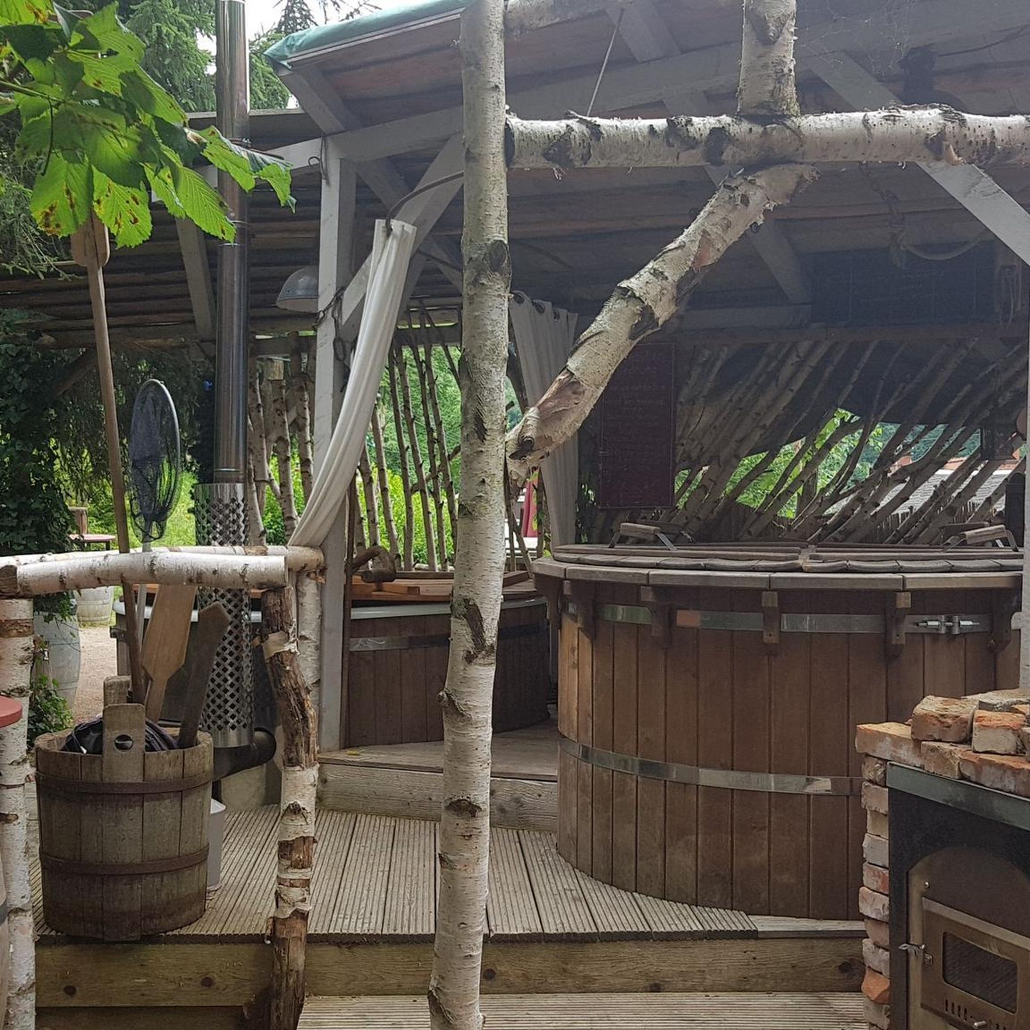
Mountain Hikes in Münchwilen
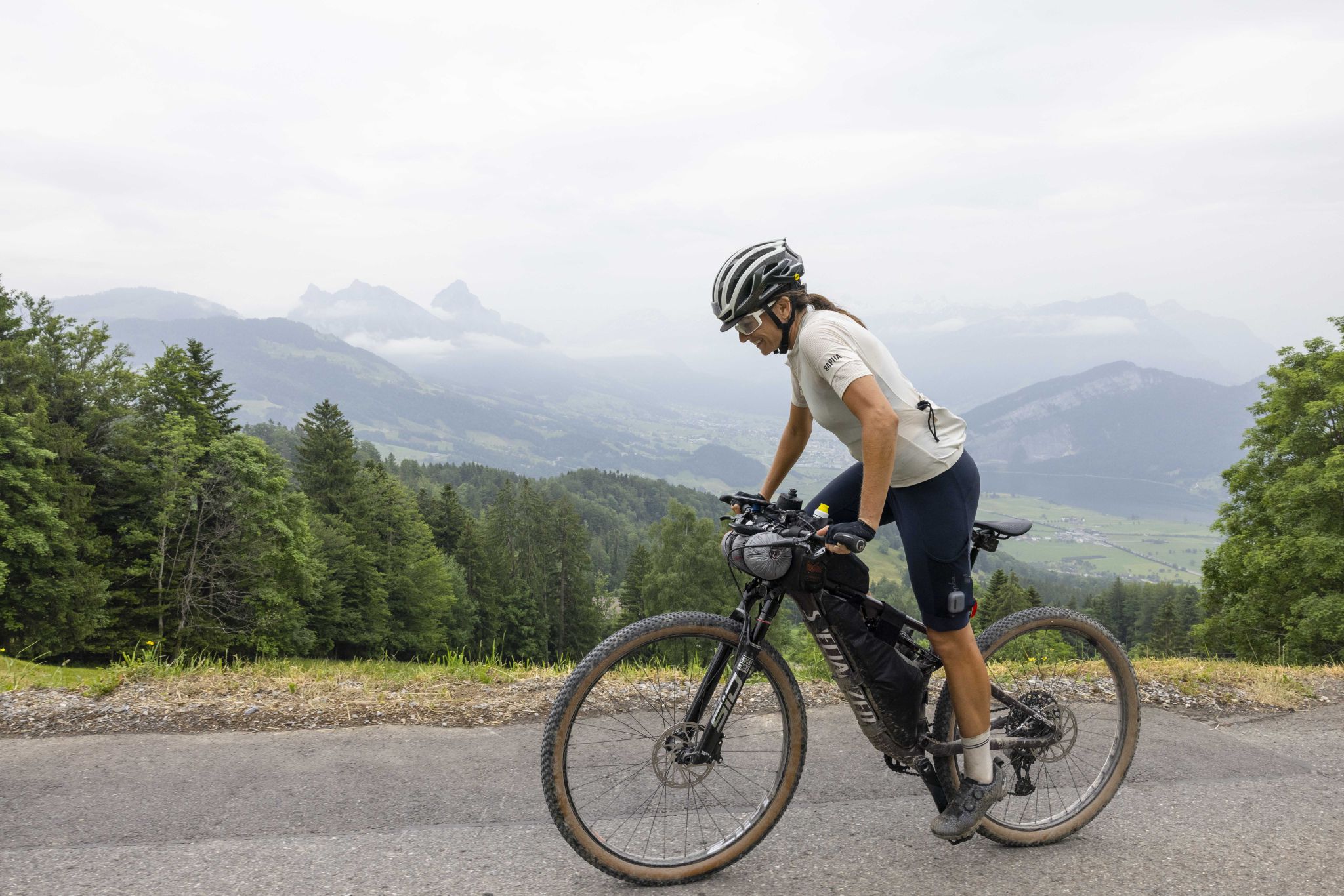
Hope 1000 – Bikepacking Switzerland in 11 stages
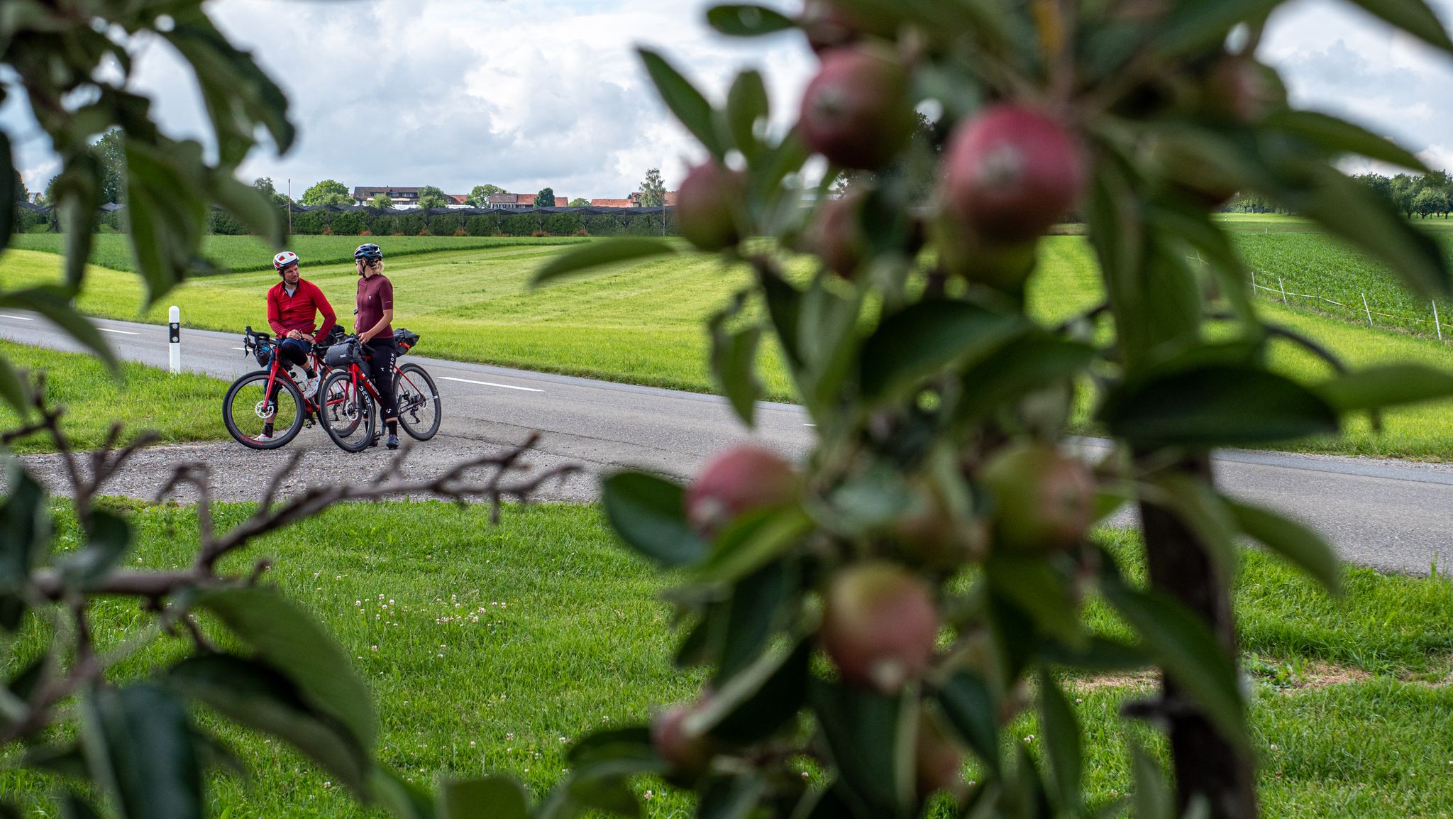
SEND IT! Germany by bike with two mountain bike pros
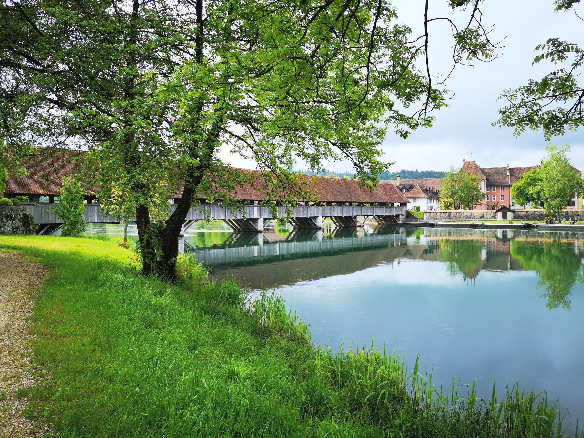
The Mittelland Route – Between Lake Constance and Lake Geneva
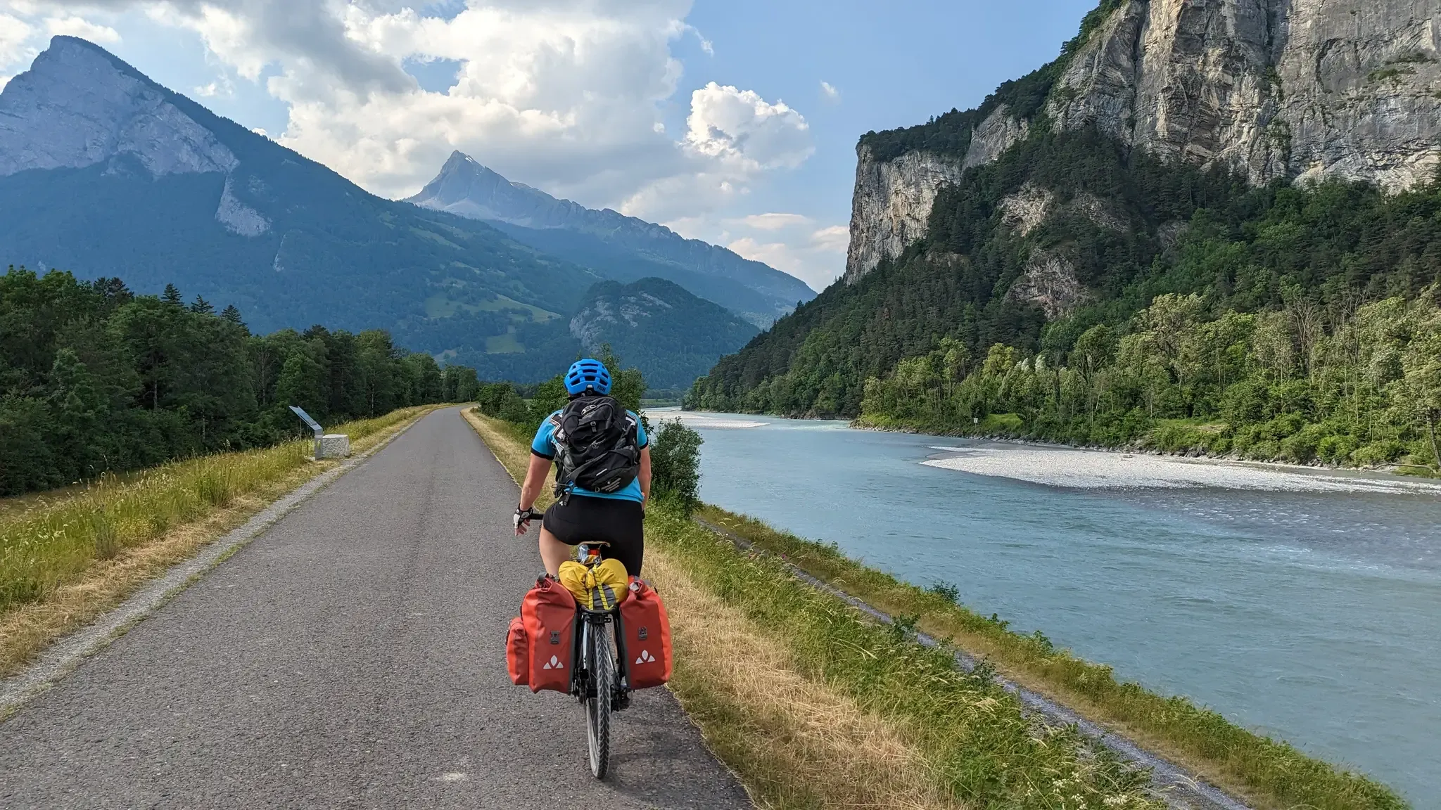
The Rhine Cycle Path — From the source to the North Sea
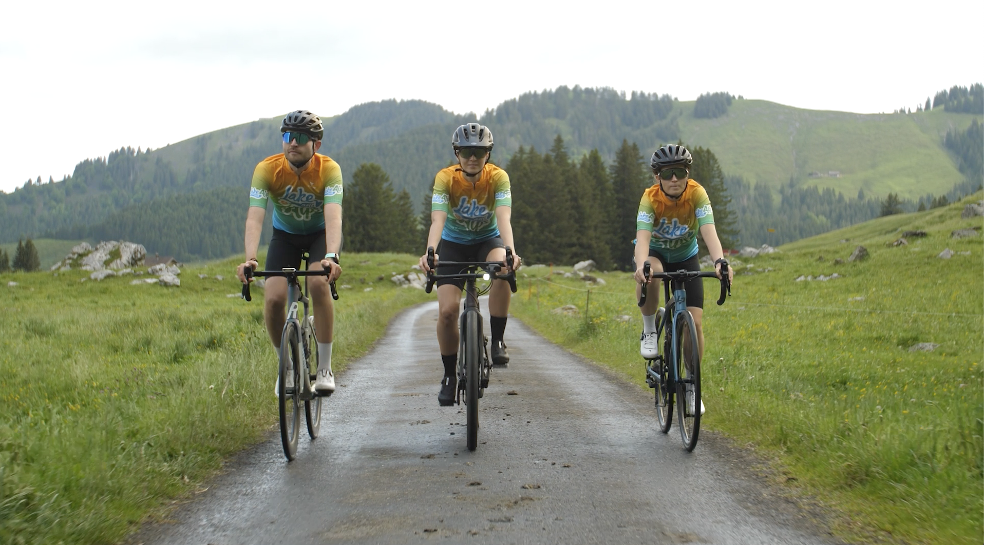
Lake and Alps Adventure – explore 100 dreamy places in our cycling region!
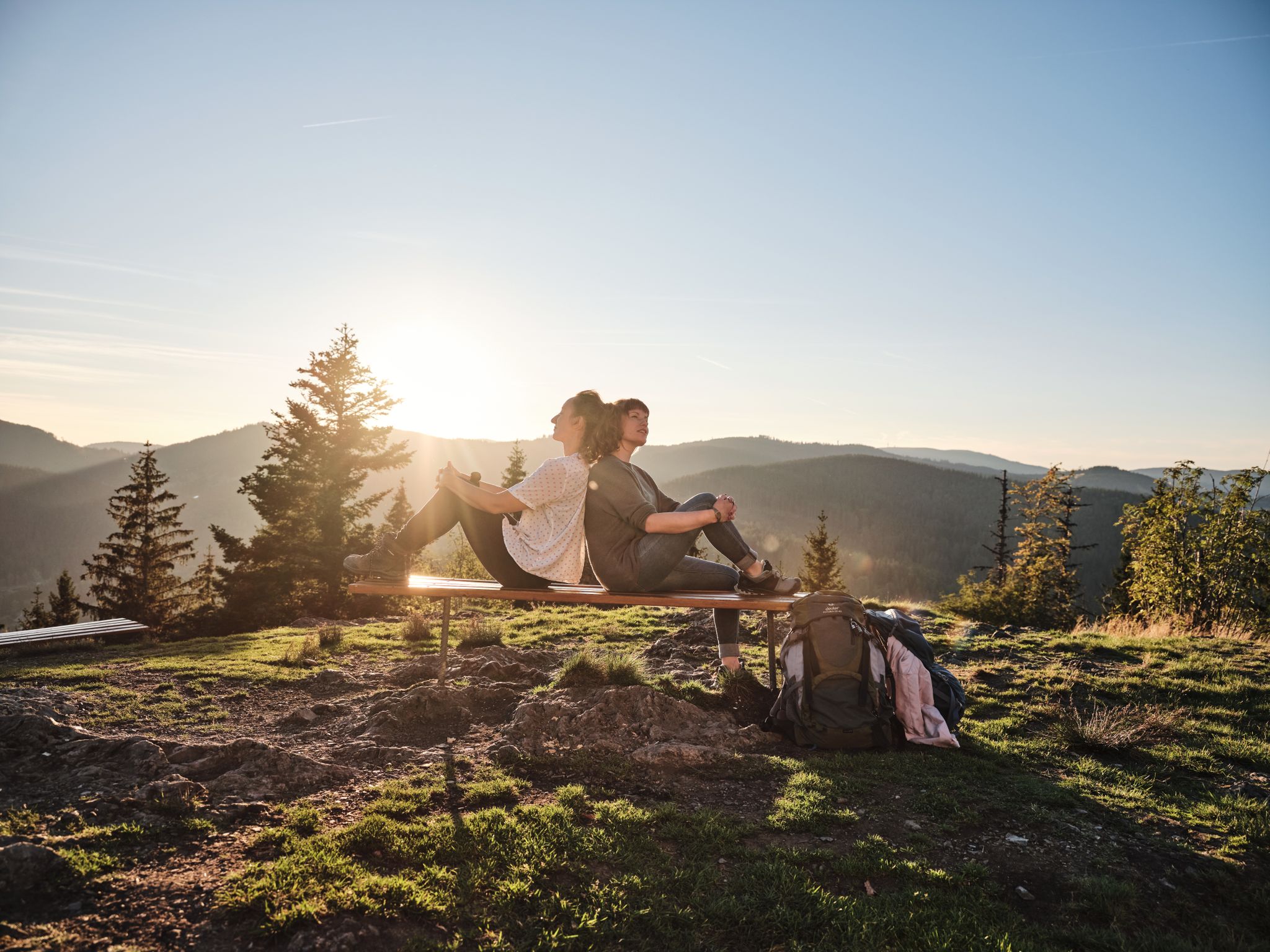
Hiking the Süden – between Black Forest, Lake Constance and Swabian Alb
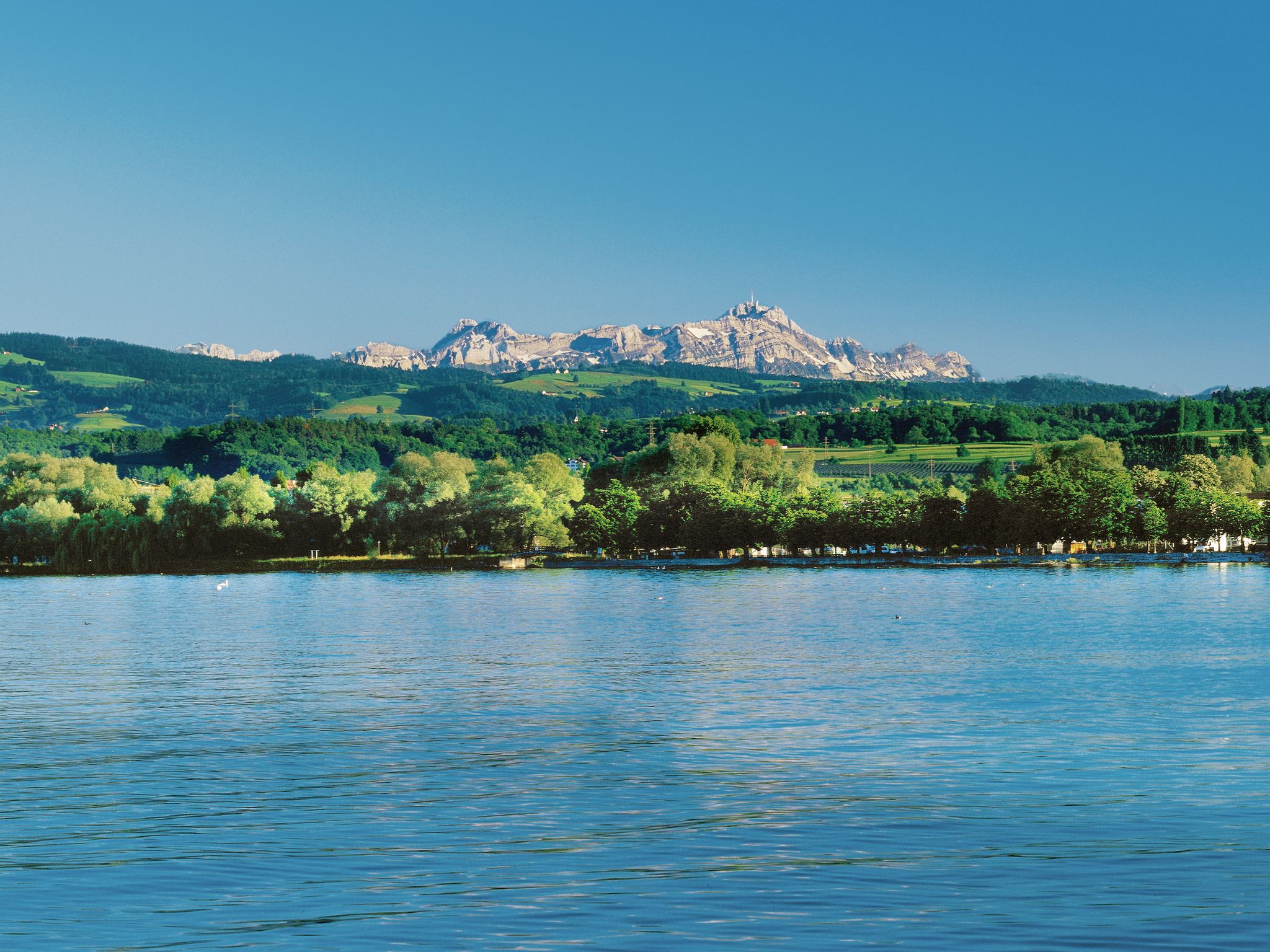
Lake and Alps Main Route – Your Path To Adventure!
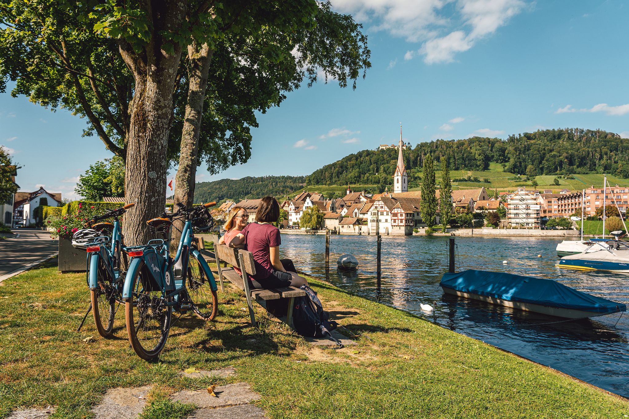
Rhine, vines, Randen – the top 5 cycle routes in Schaffhauserland
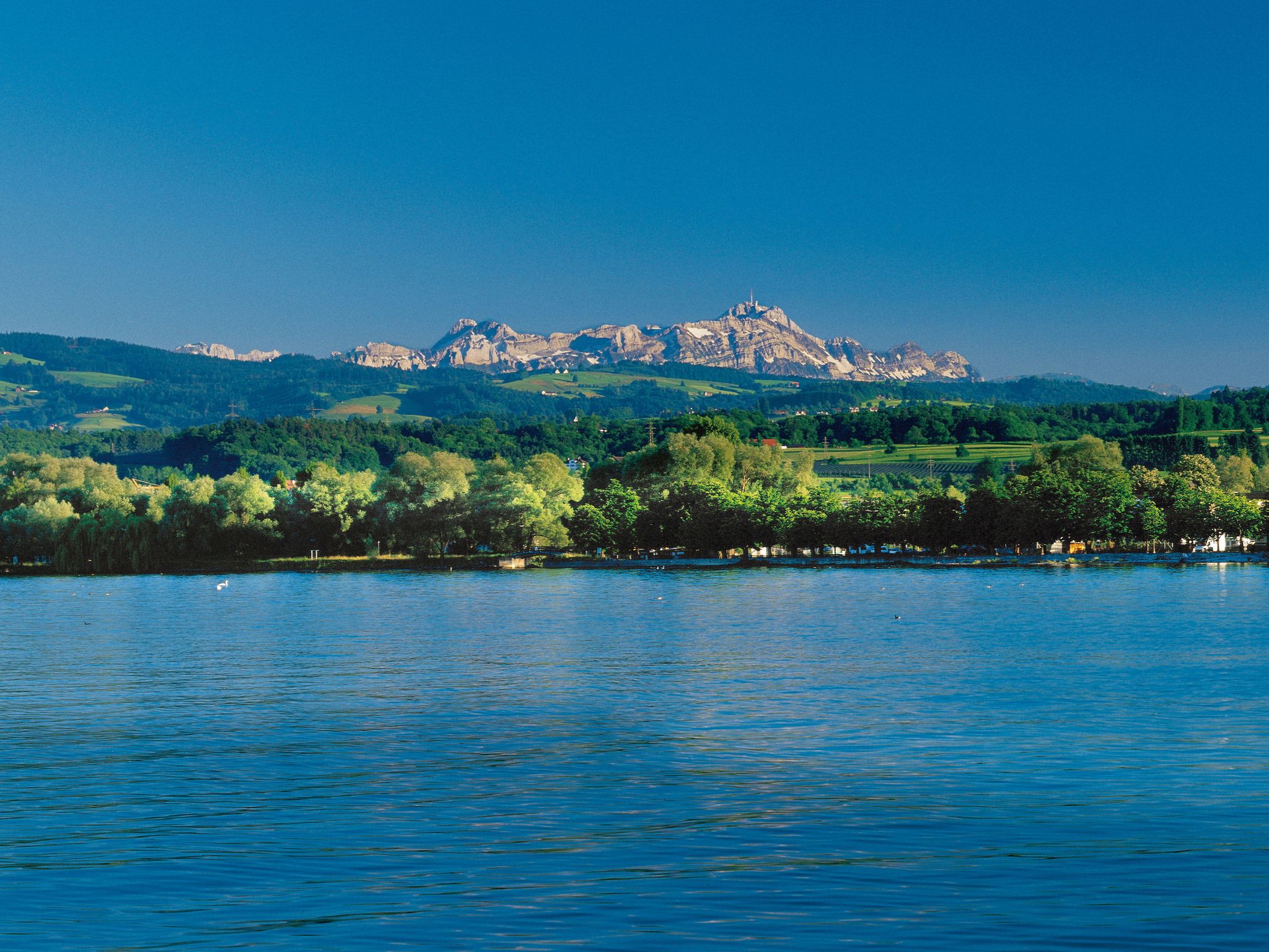
Lake and Alps Route – Cycling between Lake Constance and the Appenzell Alps
Other adventures in the Thurgau


Tips from the Community

This ridge trail is not only beautiful for hikers, but also for mountain bikers. It is part of the Schnebelhorn panoramic bike route.
0
0
There are 3 paths here that run almost parallel between Schnebelhorn (but only one from the summit) via Meiersalp to Laubberg - varying in difficulty (MTB), but all beautiful.
0
0
The alpine hut was closed in the meantime (farmer / owner) - I don't know if it is now open again as a restaurant.
0
0
First/last opportunity before/after the Schnebelhorn for a refreshment or strengthening.
0
0

A beautiful, quiet place where one can enjoy nature and faith.
0
0
Beautiful little village. The Lourdes Grotto is highly recommended.
0
0

Baroque Church of St. John the Baptist & St. John the Evangelist - Fischingen Monastery History and Architecture According to sources from around 1200, Abbot Waltram had the first church and monastery complex built between 1138 and 1144. This Romanesque church was followed by the Gothic church, probably after a monastery fire dated 1440. Before the convent chapter decided to begin construction of a new church in 1685, Abbot Joachim summoned the Einsiedeln architect Brother Kaspar Moosbrugger, whose contribution to the planning, however, is difficult to estimate. The northern nave underwent its first alteration in connection with the Idda Chapel, built from 1704 onwards. The arcades opening onto the chapel were decorated with stucco. The extension of the church to the east and the construction of the cheerful organ choir in 1753 onwards had a more dramatic effect. which forms the transition to the spacious Baroque convent buildings from the same period. Somewhat later, the chancel was remodeled in the emerging style of early classicism. The Fischingen monastery church underwent extensive renovations between 2000 and 2008. The parish could not possibly cover the high costs of this renovation, approximately CHF 8 million, alone. Text / Source: Catholic Parish of St. Idda Fischingen, Kurhausstr. 29a, 8374 Dussnang https://www.kath-fischingen.ch/de/unser-pastoralraum-0/unsere-kirchen/st-johannes-der-taeufer-st-johannes-der-evangelist
15
0
Kloster Fischingen / A foray through history In 1138, Bishop Ulrich II of Constance founded a private episcopal monastery in his territory on the upper reaches of the Murg river and settled it with Benedictine monks from the Petershausen monastery in Constance. After an initial period of prosperity, the Fischingen convent numbered barely more than 10 monks until the 17th century. In addition to tending to monastic life, they were responsible for pastoral care in the incorporated parishes of Dussnang (with Au), Bichelsee, Sirnach, and Bettwiesen, as well as in Fischingen. The Reformation led to the extinction of monastic life in Fischingen for several years. Abbot Heinrich Stoll from Zurich converted to the new doctrine in 1526 and married; the remaining four monks soon followed his example. It was the Catholic cantons of the Imperial Diet who brought about the re-establishment of the monastery by postulating P. Markus Schenkli, the vicar of the Abbot of St. Gallen, as the new Abbot of Fischingen in July 1540 at the Diet in Baden. After initial personnel and financial difficulties, the spirit of reform prevailed in Fischingen, and the monastery experienced its long flourishing period throughout the Baroque era with an average of 30 monks. Under the pious Abbot Joachim Seiler of Wil (1672–1688), a prolific spiritual writer and sought-after preacher, monastic spirituality reached such a peak that it was praised in a visitation report with the words "more to be recommended than to be improved". The construction of the new monastery church (1685–1687) also falls within Abbot Joachim's time. Abbot Nikolaus Degen of Lachen (1747–1776) is considered Fischingen's great Baroque building abbot. He extended the church with the Upper Choir in the ornate Rococo style and had the symmetrically designed, beautifully shaped monastery buildings erected to the east and south of the quadrangle. To the west, due to the monastery's high debt burden, the earlier buildings from 1577 and 1635 remained. Abbot Augustin Bloch of Oberbuchsiten (1776–1815) skillfully guided the monastery through the turmoil of the French Revolution and had the Lower Choir of the church remodeled in the early Classical style. Text / Source: Verein Kloster Fischingen, old website https://www.benediktiner-fischingen.ch/unsere-geschichte/
15
0
Frequently Asked Questions
What kind of terrain and difficulty can I expect on mountaineering routes in Thurgau?
Mountaineering in Thurgau primarily involves navigating rolling hills, lush orchards, and elevated areas like the Seerücken ridge. While not high-alpine, routes can be challenging, requiring good fitness and sure-footedness. The region offers a mix of moderate and difficult trails; for instance, there are 13 moderate and 2 difficult routes available, providing significant elevation gains and panoramic views over Lake Constance and towards the distant Alps.
Are there any circular mountaineering routes in Thurgau?
Yes, many mountaineering routes in Thurgau are designed as loops, allowing you to start and end at the same point. An example is the Mountaineering loop from Steg, which is a moderate 9.1-mile (14.7 km) trail with substantial elevation gain, typically taking around 4 hours 50 minutes to complete.
What are some notable landmarks or viewpoints I can discover along the mountaineering routes?
Thurgau's routes offer numerous scenic highlights. You can enjoy stunning vistas from elevated areas like the Seerücken, providing panoramic views over Lake Constance. Specific points of interest include the View of Diessenhofen and the wooden bridge over the Rhine, or the View of Lake Constance and Berlingen. The region is also known for its charming old towns, such as Arbon Old Town, which can be explored near some routes.
How long do mountaineering routes in Thurgau typically take to complete?
The duration of mountaineering routes in Thurgau varies depending on their length and difficulty. For example, a moderate route like the Hörnli loop from Steg, which is 4.3 miles (7.0 km) long, typically takes about 2 hours 37 minutes. Longer routes, such as the Schnebelhorn – Schindelberghöchi loop from Libingen (6.4 miles or 10.4 km), can take closer to 4 hours.
What is the best time of year for mountaineering in Thurgau?
Thurgau is beautiful throughout much of the year. Spring is particularly scenic when the canton's extensive orchards, known as 'Mostindien,' are in full blossom, creating a 'sea of pink.' Summer and early autumn offer pleasant temperatures for hiking, with clear views over Lake Constance and the surrounding hills. While not a high-alpine region, it's always wise to check local weather conditions before heading out, especially for more challenging routes.
Are there any less crowded mountaineering trails in Thurgau?
While popular routes like the Osthafen Hagnau – Yachthafen Schloss Kirchberg loop from Kippenhausen offer scenic views along Lake Constance, Thurgau's extensive network of trails means you can often find quieter paths. Exploring routes slightly away from the immediate lake shore or during off-peak times can lead to a more serene experience through the rolling hills and forests.
What do other mountaineers say about the routes in Thurgau?
The mountaineering routes in Thurgau are highly regarded by the komoot community, holding an average rating of 4.4 stars from over 5 reviews. Mountaineers often praise the varied terrain, the beautiful views over Lake Constance, and the well-maintained paths through orchards and elevated areas, offering a rewarding experience for those seeking challenging hikes outside of high-alpine regions.
Are there options for parking near the trailheads for mountaineering routes?
Yes, many trailheads for mountaineering routes in Thurgau, especially those starting from towns or villages, offer parking facilities. It's advisable to check specific route details on komoot for information on designated parking areas or public parking availability near your chosen starting point, such as for the Hagheerenloch loop from Holderbaum.
Can I access mountaineering routes in Thurgau using public transport?
Thurgau has a good public transport network, making many trailheads accessible by bus or train. The region is well-connected, and planning your journey using local transport schedules can often lead you directly to the starting points of various routes, allowing for car-free exploration of the canton's diverse landscapes.
Are there any cafes or pubs along the mountaineering routes in Thurgau?
Thurgau's routes often pass through or near charming villages and towns where you can find cafes, pubs, and restaurants. Given the region's focus on local produce, especially apples and wine, you might also encounter farm shops or 'Besenbeizen' (seasonal taverns) offering local refreshments. It's a good idea to check the specific route map for amenities along your chosen path.
What is the highest point I can reach on a mountaineering route in Thurgau?
While Thurgau is not a high-alpine region, its highest point is Hohgrat, reaching 996 meters (3,268 ft) above sea level. Other notable elevated areas include Silberbüel (1026m) and Burstel (820m). Mountaineering routes in these areas offer significant ascents and provide challenging experiences with extensive views over the surrounding landscape and Lake Constance.
Most popular routes in the Thurgau
Most popular attractions in the Thurgau

Get inspired with the komoot mobile app


Didn’t find what you were looking for?
Check out more Mountain Hikes & Routes throughout Thurgau below and find the perfect route in your destination.
Explore more
Browse the best Mountain Hikes & Routes in other regions.
