The best walks and hikes in Срп Гоч-Гвоздац
4.9
(9)
83
hikers
6
hikes
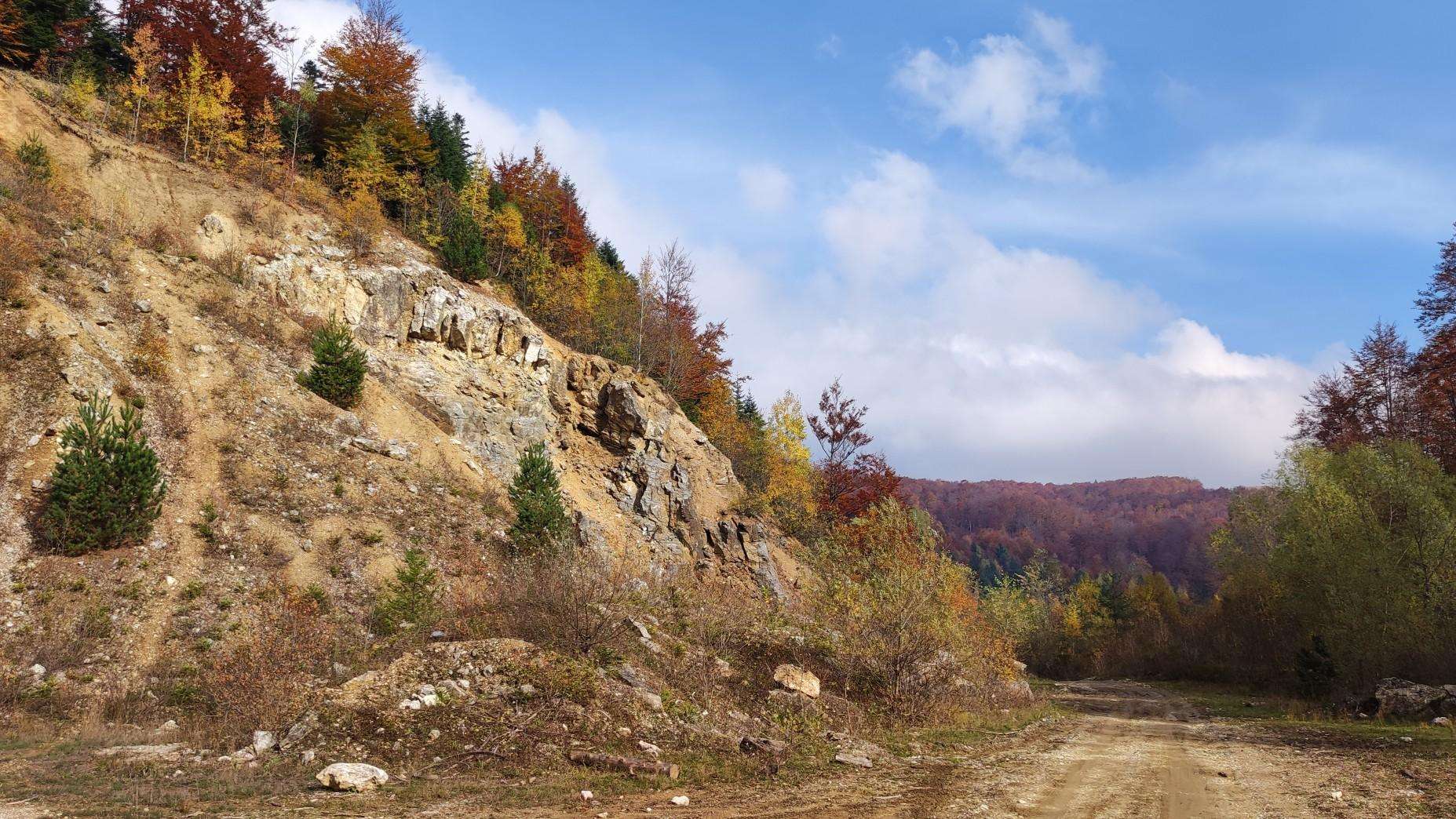
Hiking trails in Срп Гоч-Гвоздац traverse a Special Nature Reserve characterized by extensive beech and fir forests, making it one of Serbia's most forested mountains. The region features a rich biodiversity with numerous plant and animal species, alongside abundant water resources from the Gvozdačka River basin. Hikers can experience varied terrain, from shaded forest paths to panoramic lookouts offering views of surrounding mountains.
Best hiking trails in Срп Гоч-Гвоздац
- The most popular hiking route is Кавгалија – Цветалица loop from Brezna, a 9.5 miles (15.3 km) trail that takes 5 hours 29 minutes to complete. This route offers significant elevation gain through dense forest landscapes.
- Another top favourite among local hikers is Ниловска Превоја – Усовица loop from Brezna, a difficult 12.8 miles (20.6 km) path. This trail explores varied terrain, including forest sections and open areas with potential viewpoints.
- Local hikers also love the Љуктен loop from Ržište, a 4.9 miles (7.9 km) trail leading through forested areas, often completed in about 2 hours 21 minutes.
- Hiking in Срп Гоч-Gvozdac is defined by dense forests, abundant water resources, and panoramic lookouts. The network offers options for different ability levels, from moderate walks to more challenging routes with significant elevation changes.
- The routes in Срп Гоч-Gvozdac are highly rated by the komoot community with an average score of 4.8 stars from more than 7 reviews. More than 78 hikers have used komoot to explore Срп Гоч-Gvozdac's varied terrain.
Last updated: July 1, 2026
5.0
(1)
6
hikers
15.3km
05:30
720m
720m
Hard hike. Very good fitness required. Mostly accessible paths. Sure-footedness required.
4.5
(4)
15
hikers
20.6km
06:28
800m
800m
Hard hike. Very good fitness required. Easily-accessible paths. Suitable for all skill levels.

Sign up for free
10
hikers
7.85km
02:22
250m
250m
Moderate hike. Good fitness required. Easily-accessible paths. Suitable for all skill levels.
4
hikers
21.4km
07:04
1,010m
1,010m
Hard hike. Very good fitness required. Easily-accessible paths. Suitable for all skill levels.
10
hikers
14.0km
04:15
460m
460m
Moderate hike. Good fitness required. Easily-accessible paths. Suitable for all skill levels.
Our route recommendations are based on thousands of hikes, rides, and runs completed by other people on komoot.
Start today with a free account
Your next adventure awaits.
Login or Signup
Popular around Срп Гоч-Гвоздац
Frequently Asked Questions
What makes hiking in Срп Гоч-Гвоздац unique?
Срп Гоч-Гвоздац is designated as a Special Nature Reserve, known as Serbia's most forested mountain. You'll find extensive beech and fir forests, rich biodiversity, and abundant water resources from the Gvozdačka River basin. The trails offer a peaceful atmosphere with the sounds of streams and birdsong, providing a restorative experience.
Are there hiking trails suitable for families or beginners?
Yes, Goč-Gvozdac offers trails for various fitness levels. For families and recreational users, shorter routes like the Krst peak trail (1.35 km) or the 'Small' circular trail around Selište Lake (2.35 km) are ideal. These provide gentle walks through scenic areas without significant elevation.
What kind of natural features can I expect to see on the trails?
You'll encounter dense, ancient forests, particularly beech and fir, which are considered a rarity. The region is rich in biodiversity, with numerous plant and animal species. Abundant streams and springs are present throughout the mountain, and you can visit the artificial Selište Lake, a popular spot for excursions.
Are there any panoramic viewpoints in Срп Гоч-Гвоздац?
Yes, Goč offers numerous viewpoints that provide breathtaking vistas. On clear days, hikers can enjoy expansive views stretching to distant mountains like Kopaonik, Rtanj, Gledić, and Rudnik, showcasing the surrounding Serbian landscape.
How well-marked are the hiking trails in the region?
The trails on Goč Mountain are well-marked and easy to navigate. There is a network of clearly indicated paths, supported by 30 informational boards, making it straightforward for visitors to follow their chosen route.
What do other hikers say about the trails in Срп Гоч-Гвоздац?
The trails in Срп Гоч-Гвоздац are highly rated by the komoot community, with an average score of 4.8 stars from more than 7 reviews. Hikers often praise the dense forests, the peaceful atmosphere, and the varied terrain that offers both moderate and challenging options.
Are there any challenging long-distance hikes available?
For experienced hikers seeking a challenge, routes like Ниловска Превоја – Усовица loop from Meljanica offer significant elevation gain over 21.4 km, taking around 7 hours to complete. Another difficult option is Кавгалија – Цветалица loop from Brezna, a 15.3 km trail with over 700 meters of ascent.
Can I find circular hiking routes in Срп Гоч-Гвоздац?
Yes, many trails in the region are circular. For example, the Љуктен loop from Ržište is a moderate 7.9 km circular trail through forested areas. Another option is the Љуктен loop from Goč, which is a longer 14 km moderate circular route.
Are there opportunities for camping or finding food near the trails?
Yes, camping is possible near Selište Lake, which is a popular spot for excursions. Additionally, the region features local restaurants that serve traditional Serbian cuisine, including Goč trout, providing options for refreshments after your hike.
What is the best time of year to go hiking in Срп Гоч-Гвоздац?
The dense forests of Goč-Gvozdac offer a pleasant hiking experience throughout much of the year. Spring and autumn provide vibrant colors and comfortable temperatures, while the extensive tree cover can offer shade during warmer summer months. The region's rich water resources ensure streams are active, adding to the natural beauty.
Are there any moderate difficulty trails for a good day hike?
Certainly. The Љуктен loop from Goč is a moderate 14 km trail that takes about 4 hours 15 minutes, offering a substantial hike through the area's forests. Another moderate option is the Љуктен loop from Ržište, which is shorter at 7.9 km and takes around 2 hours 20 minutes.
Most popular routes in Срп Гоч-Гвоздац

Get inspired with the komoot mobile app


Explore more
Browse the best Hikes in other regions.
