The best mountain hikes around gmina Łukowica
4.6
(43)
297
hikers
6
hikes
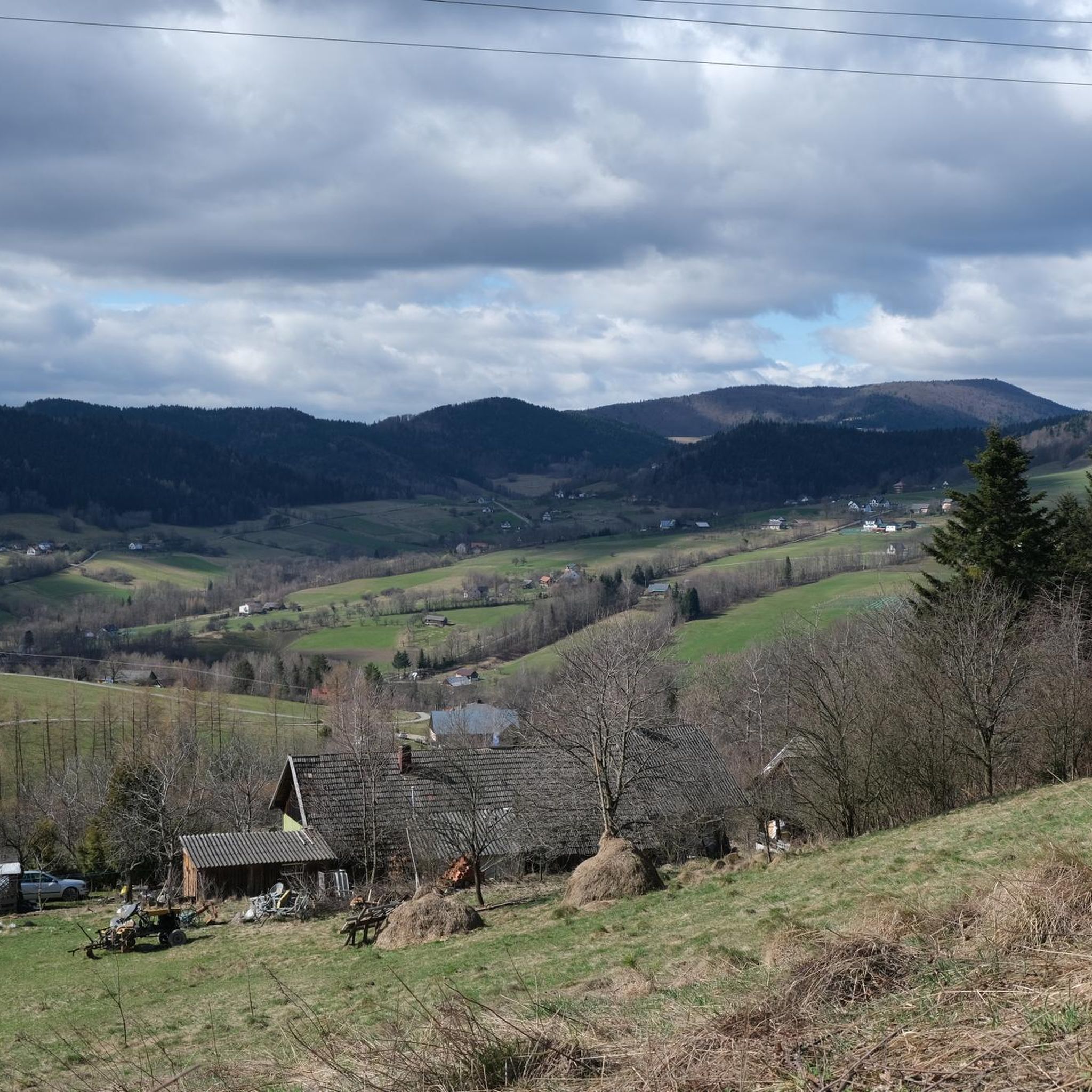
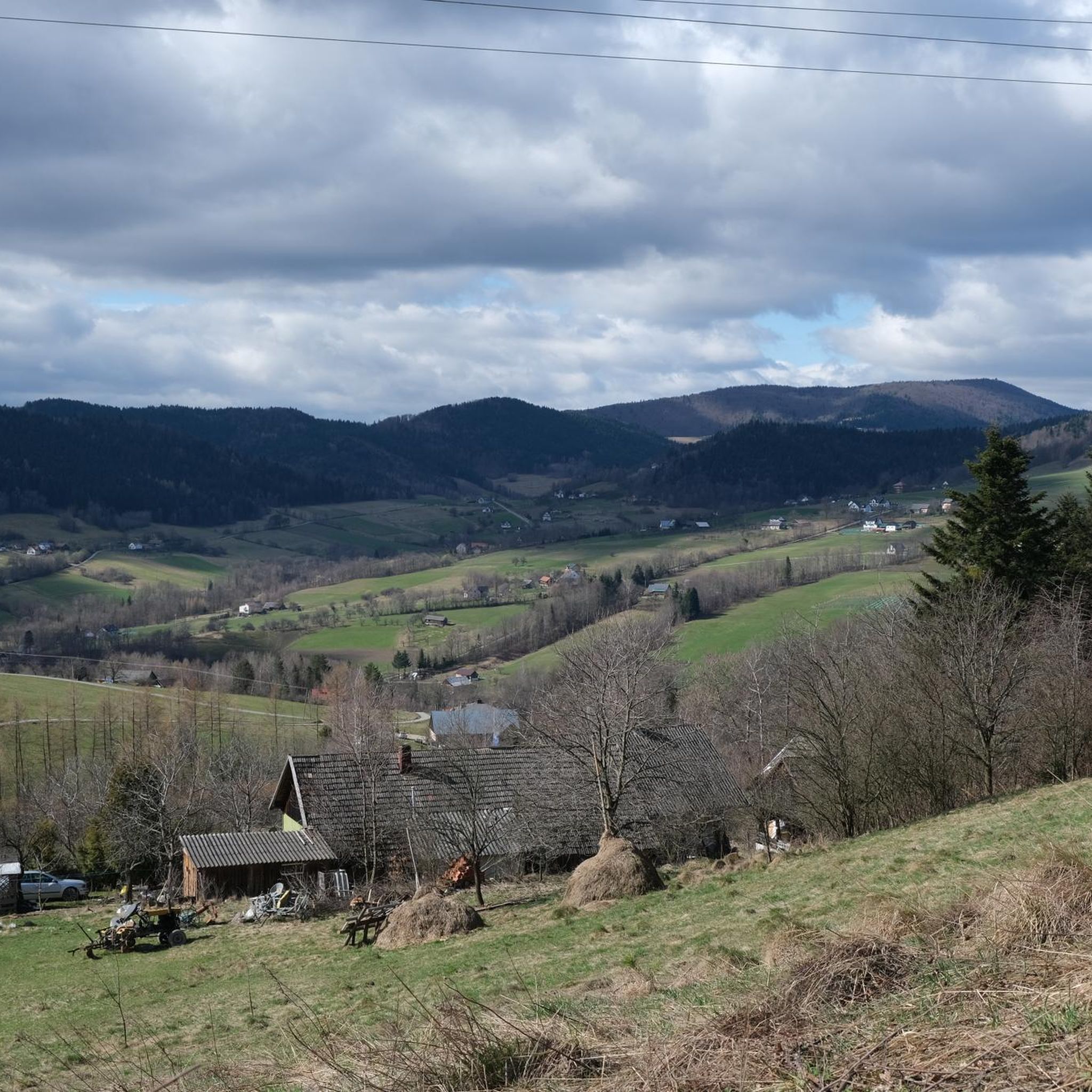
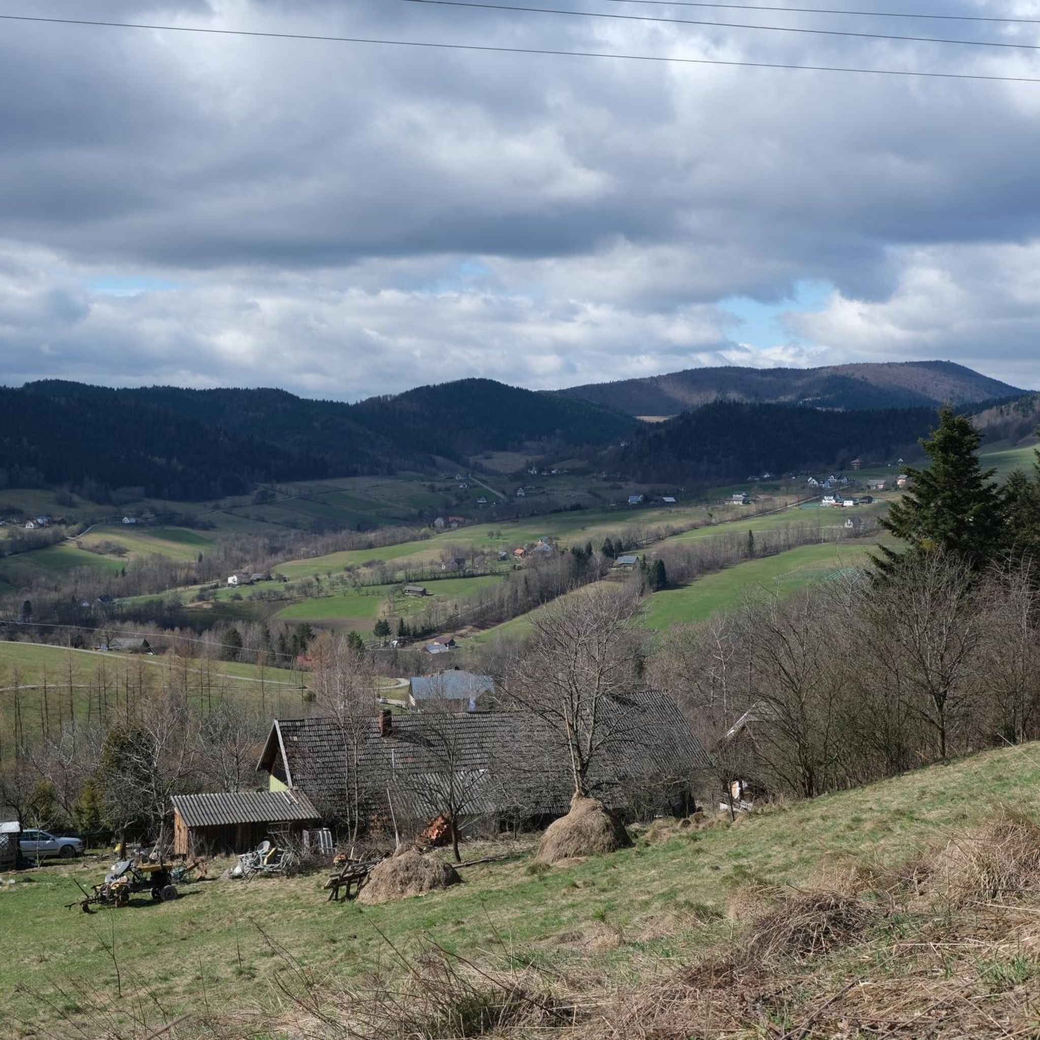
Mountaineering around gmina Łukowica offers diverse terrain within Poland's Beskid Wyspowy mountain range, characterized by distinct "island" mountains rising from surrounding valleys. The landscape features prominent peaks such as Mogielnica and Modyń, providing varied elevation changes and panoramic views. The region is also shaped by the valleys of streams like Łukowica, Słomka, and Jastrzębik, contributing to a mix of challenging ascents and more gentle routes. This area provides a compelling destination for exploring natural landscapes and mountain environments.
Best mountaineering…
Last updated: July 1, 2026
4.7
(22)
119
hikers
7.17km
02:38
450m
450m
Moderate mountaineering route. Good fitness required. Easily-accessible paths. Suitable for all skill levels.
4.0
(2)
21
hikers
7.29km
02:20
310m
310m
Moderate mountaineering route. Good fitness required. Easily-accessible paths. Suitable for all skill levels.

Sign up for free
4.5
(2)
17
hikers
9.40km
03:24
590m
600m
Moderate mountaineering route. Good fitness required. Easily-accessible paths. Suitable for all skill levels.
12
hikers
12.3km
04:04
570m
570m
Moderate mountaineering route. Good fitness required. Easily-accessible paths. Suitable for all skill levels.
5.0
(1)
10
hikers
4.06km
01:30
260m
260m
Easy mountaineering route. Great for any fitness level. Easily-accessible paths. Suitable for all skill levels.
Our route recommendations are based on thousands of hikes, rides, and runs completed by other people on komoot.
Start today with a free account
Your next adventure awaits.
Login or Signup
Tips from the Community

Gorc (1228 m a.s.l.) is a prominent peak located in the eastern part of the main ridge of the Gorce Mountains. It is the culmination of an extensive mountain massif named the Gorc Massif after it. It is one of the most popular and frequently visited places in the Gorce Mountains. For centuries, the slopes of Gorc were intensively used for grazing and are among the oldest grazing lands in the region, dating back well over half a millennium. A trace of centuries of intensive grazing activity on Gorc are the extensive mountain meadows and clearings located on the mountain slopes, below the summit, preserved to this day. In 2015, a viewing tower was erected on the forest-covered summit dome of Gorc. It offers a wide panorama of the neighboring mountain ranges, including the Gorce, Tatra Mountains, Sądecki Beskid, and Wyspowy Beskid. On the southern slope of Gorc, along the green tourist trail, there is a student tent base, open during the summer season. An blue tourist trail runs through Gorc, connecting here with the black and green trails. The viewing tower is accessible all year round. source of information: https://turystyka.ochotnica.pl/wieze/30
0
0


Place for a campfire
0
0

Beautiful views of the Tatra Mountains, Górce, and the surrounding area. Unfortunately, the number of young people on the trail going crazy on motorcycles and quads makes the hike less than pleasant. Noise and the stench of exhaust fumes.
1
0

Observation tower
1
0

Even if your legs are tired, it is worth climbing the tower, because the views of the surrounding area are amazing.
1
0

Mogielnica is the highest peak in the Beskid Wyspowy, at an altitude of 1170m. There is a relatively new observation tower here, which is definitely worth climbing. The most popular trail to Mogielnica (green) is from Przełęcz Rydza-Śmigłego.
3
0
Frequently Asked Questions
How many mountaineering routes are available in gmina Łukowica?
Komoot features 6 distinct mountaineering routes around gmina Łukowica, offering a variety of experiences within the Beskid Wyspowy mountain range.
Are there easy mountaineering routes suitable for beginners or families?
Yes, there are routes suitable for various fitness levels. For an easier option, consider the Modynia Observation Tower loop from Cichoń, which is rated as easy and takes about 1 hour 30 minutes to complete, ascending Modyń through wooded slopes.
What kind of views can I expect on the mountaineering routes in gmina Łukowica?
Many routes offer expansive panoramic views. The most prominent is from the observation tower on Mogielnica, the highest peak in Beskid Wyspowy, which provides extensive vistas of the Beskid Sądecki, Dunajec valley, Pieniny (including Trzy Korony), and the vast Gorce range. You can experience this on routes like the Observation Tower – Mogielica Observation Tower loop from Limanowa County.
Are there any circular mountaineering routes in gmina Łukowica?
Yes, all the mountaineering routes listed in this guide are circular loops, allowing you to start and end at the same point. Examples include the Observation Tower – Mogielica Observation Tower loop from Limanowa County and the Mogielica Observation Tower loop from Wielki Wierch.
What are some notable landmarks or attractions I can see near the mountaineering routes?
Beyond the natural beauty, you can explore several interesting points. The Observation Tower on Mogielnica is a major highlight. You might also encounter historical markers like the Generations Meeting Monument on Rydz-Śmigły Pass. For a different experience, the nearby Poprad River Footbridge offers connections to cycling paths like Velo Dunajec.
What do other mountaineers say about the routes in gmina Łukowica?
The routes in gmina Łukowica are highly rated by the komoot community, with an average score of 4.6 stars from over 37 reviews. Mountaineers often praise the varied terrain, the distinct 'island' mountains, and the rewarding panoramic views from peaks like Mogielnica and Modyń.
Can I bring my dog on the mountaineering routes in gmina Łukowica?
Generally, dogs are welcome on most mountain trails in Poland, especially in areas outside strict national park zones. However, it's always advisable to keep them on a leash and ensure they are well-behaved, respecting wildlife and other hikers. Always check local signage for any specific restrictions.
What is the best time of year for mountaineering in gmina Łukowica?
The Beskid Wyspowy region is beautiful year-round. Spring and autumn offer pleasant temperatures and vibrant foliage, while summer provides longer daylight hours. Winter mountaineering is possible but requires appropriate gear and experience due to snow and ice conditions. The observation towers are accessible in most seasons, offering different perspectives of the landscape.
Are there any routes that take me to the highest peaks in the region?
Absolutely. Several routes lead to Mogielnica (1170 m), the highest peak in the Beskid Wyspowy, known for its observation tower. For example, the Observation Tower – Mogielica Observation Tower loop from Hala will take you to this prominent summit.
What kind of terrain can I expect on the mountaineering routes in gmina Łukowica?
The terrain is diverse, characterized by the unique 'island' mountains of Beskid Wyspowy that rise distinctly from surrounding valleys. You'll encounter forested ridges, varied elevation changes, and routes that follow the valleys of streams like Łukowica, Słomka, and Jastrzębik, offering a mix of challenging ascents and more gentle walks.
Are there options for longer mountaineering trips in the area?
Yes, for a longer and more immersive experience, consider the Mogielica Observation Tower loop from Wielki Wierch. This moderate route spans 7.6 miles (12.3 km) and offers varied perspectives of the surrounding mountain ranges, taking approximately 4 hours to complete.
Is parking available near the trailheads for these routes?
While specific parking details for each trailhead are not provided, it is generally common to find designated parking areas or roadside spots near popular starting points for mountain trails in the region. It's advisable to check local maps or community information for specific parking locations before your trip.
Most popular routes around gmina Łukowica
Most popular attractions around gmina Łukowica

Get inspired with the komoot mobile app


Explore more
Browse the best Mountain Hikes & Routes in other regions.
