The best running trails around Bisinchi
5.0
(2)
285
runners
9
runs
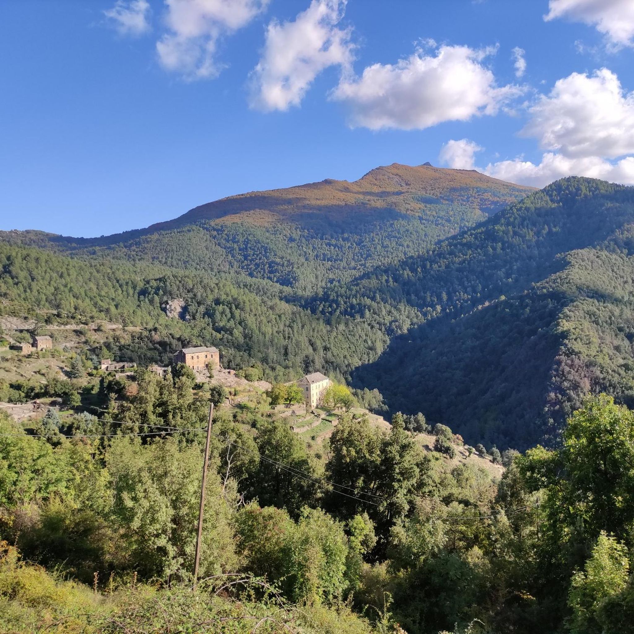
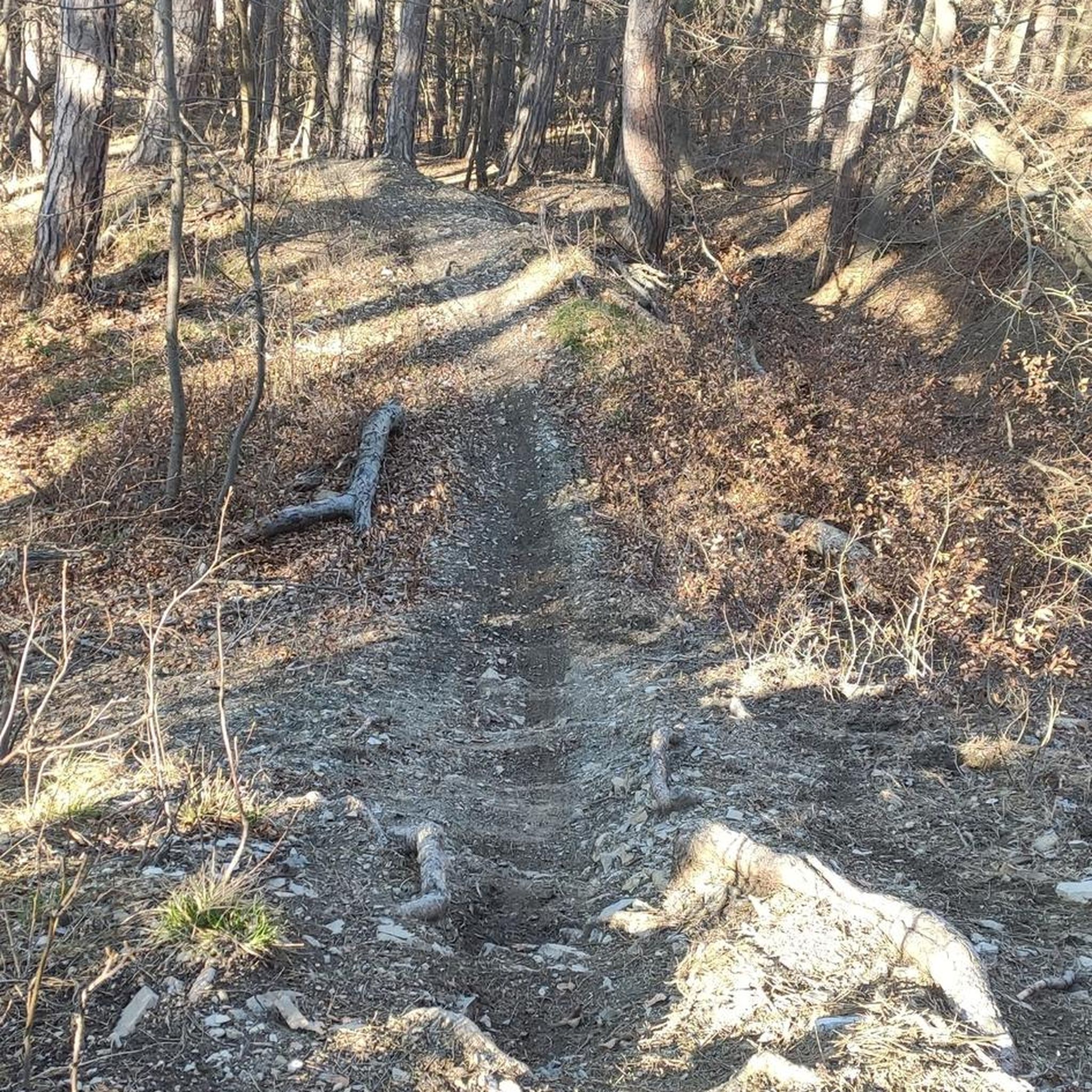
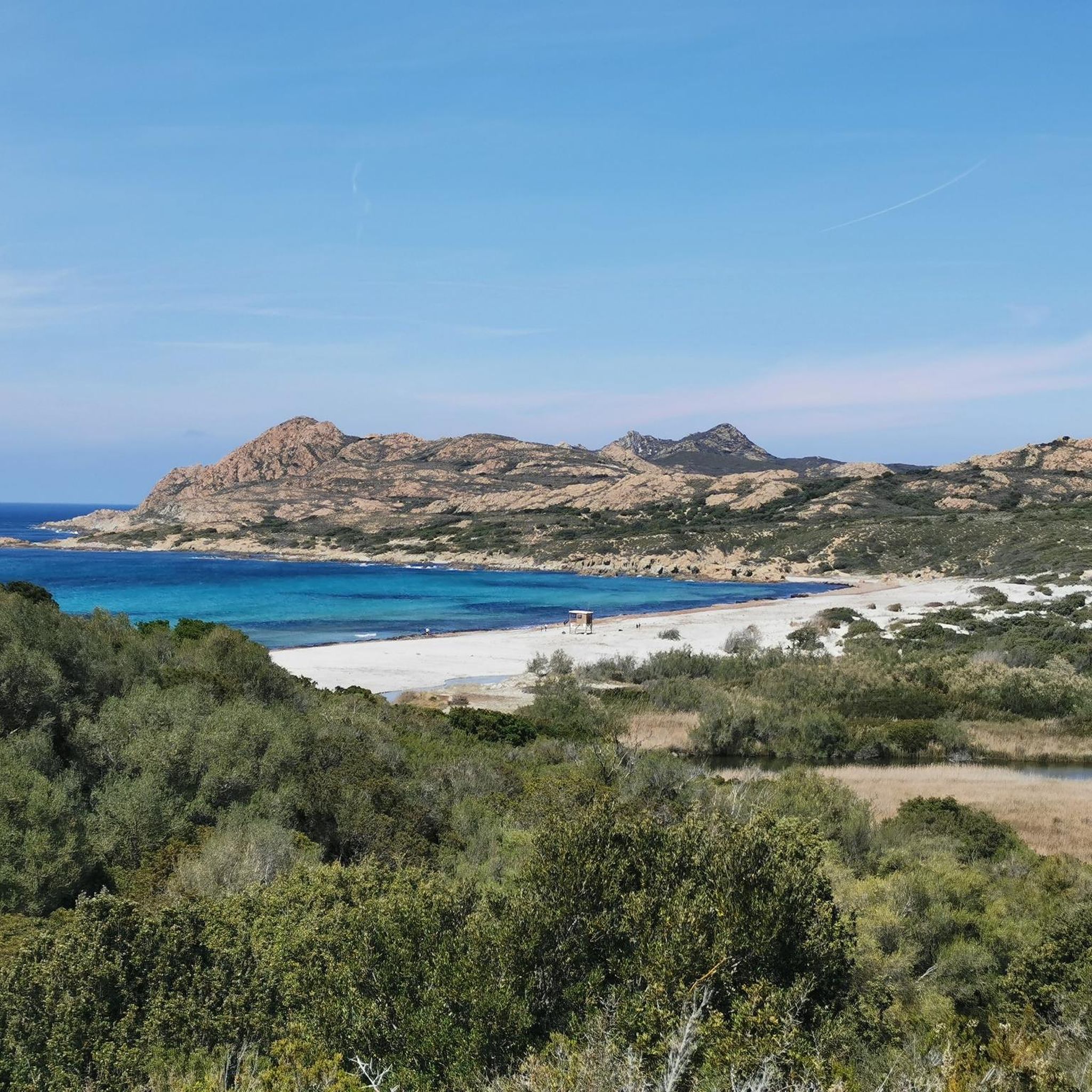
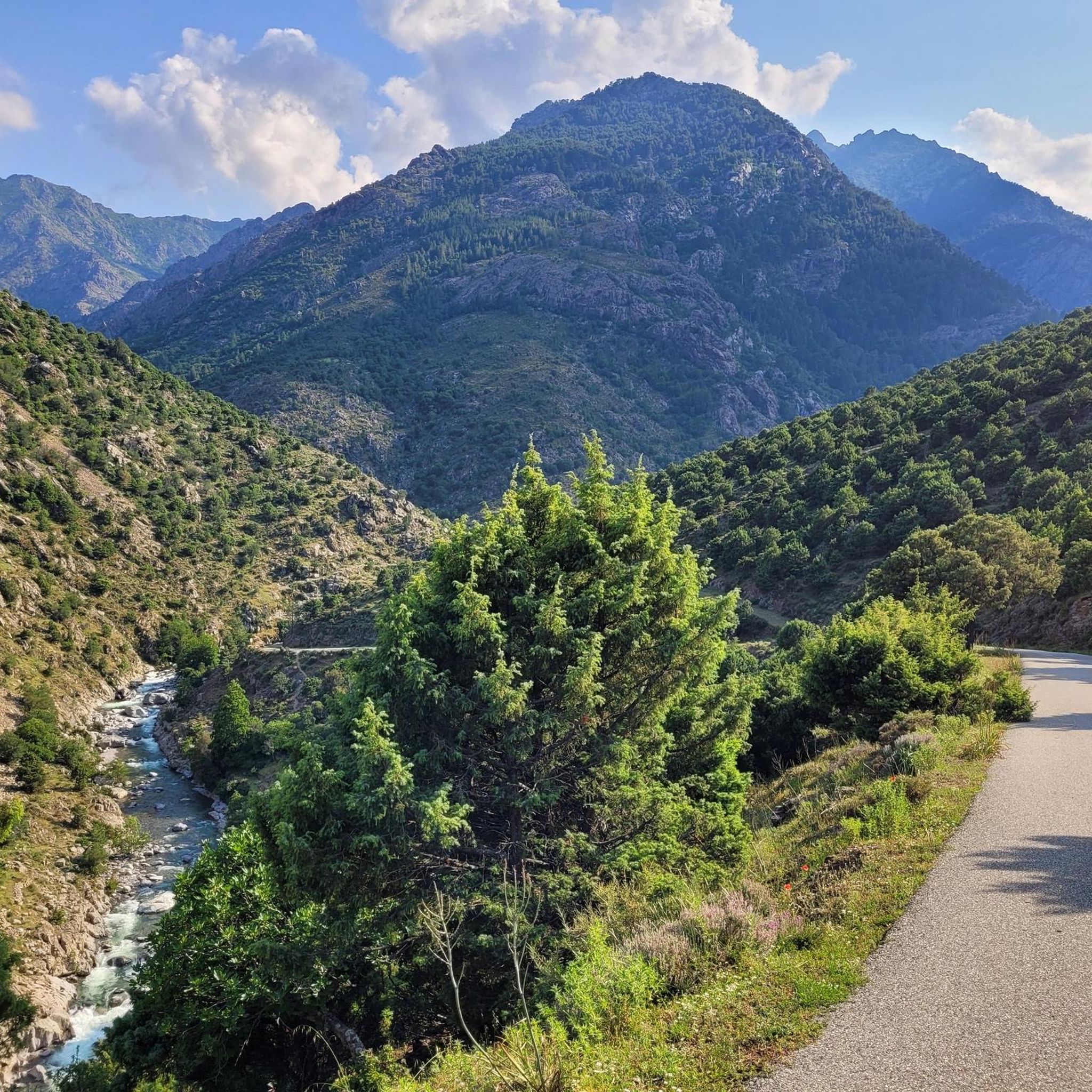
Jogging routes around Bisinchi are set within the mid-mountains of Haute-Corse, Corsica, offering diverse landscapes for outdoor activities. The region features varied topography, with elevations ranging significantly, providing routes with moderate inclines and challenging ascents. Dense chestnut forests characterize the Castagniccia region, offering shaded paths, while panoramic views of the Golo valley enhance many running experiences.
Best jogging routes around Bisinchi
- The most popular jogging route is Mount San Petrone loop from La Porta, an 8.0 miles (12.9 km)…
Last updated: October 16, 2026
74
runners
11.3km
01:40
530m
530m
Hard run. Very good fitness required. Sure-footedness, sturdy shoes and alpine experience required.
61
runners
20.1km
03:17
1,190m
1,190m
Hard run. Very good fitness required. Sure-footedness, sturdy shoes and alpine experience required.

35
runners
13.5km
01:50
610m
610m
Hard run. Very good fitness required. Mostly paved surfaces. Suitable for all skill levels.
13
runners
7.49km
01:18
550m
550m
Hard run. Very good fitness required. Mostly paved surfaces. Suitable for all skill levels.
6
runners
5.51km
00:56
370m
370m
Hard run. Very good fitness required. Mostly paved surfaces. Suitable for all skill levels.
Get access to more routes and recommendations from other explorers.
Already have an account?
Our route recommendations are based on thousands of hikes, rides, and runs completed by other people on komoot.
Start today with a free account
Your next adventure awaits.
Tips from the Community

Excellent view in almost all directions!
0
0

Good half-day tour with many shady passages and a great summit view
0
0

This peak is a relatively easy climb for a great reward. The sea views really give a sense of elevation.
3
0

The hike to the summit in pictures https://youtu.be/WeNIHwlX3ao
1
1

A wonderful and well-marked circular hike to the summit of San Petrone. At 1767m, Monte San Petrone is the highest peak in the Castagniccia region. Castagniccia stands for the Corsican name 'chestnut grove' and covers the hilly area between Bastia and Aleria in the east of Corsica. The last ascent is again intense and well attended, I hardly met any people on my circular hike. But apparently there is still a not so intense way to the summit that comes from the north and brings some visitors with it.
2
0

Great view from the summit. We sat here for a long time, ate something and enjoyed the unique view!
0
0
From here take another run-up and you're already up!
1
1
High through the woods and over meadows ... streams everywhere!
0
0
Frequently Asked Questions
How many running routes are available around Bisinchi?
There are currently 7 dedicated running routes available around Bisinchi. These trails offer a variety of experiences within the region's diverse landscapes.
What kind of terrain can I expect on Bisinchi's running trails?
The running trails around Bisinchi feature a varied topography, ranging from 113 to 1,067 meters in elevation. You can expect mountainous terrain with moderate inclines and challenging ascents, dense chestnut forests in the Castagniccia region, and picturesque paths overlooking the Golo valley.
Are the running routes in Bisinchi challenging?
Yes, the routes around Bisinchi are generally considered challenging. All 7 listed routes are rated as 'difficult' due to significant elevation gains and mountainous terrain. For example, the Mount San Petrone loop from La Porta involves over 700 meters of ascent.
Are there any circular running routes in the Bisinchi area?
Yes, several routes around Bisinchi are circular. Notable examples include the Mount Sant'Angelo Summit loop from Monte and the Silvareccio – Mount Sant'Angelo Summit loop from Silvareccio, both offering a complete circuit back to the starting point.
What do other runners enjoy most about jogging in Bisinchi?
The area is highly rated by the komoot community, with an average score of 5.0 stars from more than 1 review. Runners often praise the stunning panoramic views, the refreshing experience of jogging through shaded chestnut forests, and the challenging yet rewarding mountainous terrain.
Are there options for longer distance running in Bisinchi?
Yes, Bisinchi offers several longer running routes. The Mount Sant'Angelo Summit loop from Monte is approximately 13.5 km (8.4 miles) long, and the Mount San Petrone loop from La Porta covers about 12.9 km (8.0 miles), providing good options for endurance training.
Can I find routes that pass by historical sites or cultural landmarks?
Yes, the region around Bisinchi is rich in history. Many trails in Castagniccia connect to traditional villages and historical sites. You might encounter places like the San Michele de Murato Church or the Orezza Monastery Ruins, offering a blend of natural beauty and cultural heritage during your run.
When is the best time of year for running in Bisinchi?
The shaded chestnut forests of Castagniccia make running enjoyable, especially during warmer months. Spring and autumn generally offer pleasant temperatures for outdoor activities, while the higher elevations can provide cooler air during summer. Winter running is also possible, but conditions may vary.
Are there any scenic viewpoints along the running trails?
Absolutely. Many routes offer breathtaking scenic views. For instance, the Mount Sant'Angelo Summit loop from Monte provides expansive views across the Golo valley and surrounding peaks. From higher points, you can often enjoy vistas extending to Cap Corse and the island's east coast.
Are there any easy jogging routes suitable for beginners in Bisinchi?
Based on the current selection, all listed jogging routes around Bisinchi are rated as 'difficult' due to their significant elevation gain and mountainous terrain. Beginners might find these routes challenging. It's advisable to check individual route details for elevation profiles and distances to assess suitability.
What are some notable natural features to look out for while running in Bisinchi?
While running in Bisinchi, you'll experience the dense chestnut groves of the Castagniccia region, which provide shaded paths and a unique natural environment. The routes also offer stunning panoramic views of the Golo valley, and you'll be surrounded by the rugged, diverse mountainous terrain characteristic of Haute-Corse.
Most popular attractions around Bisinchi

Get inspired with the komoot mobile app


Explore more
Browse the best Running Trails & Routes in other regions.
