The best mountain hikes around Balogna
4.1
(7)
52
hikers
6
hikes
Mountaineering routes around Balogna are primarily found in the surrounding Apennine mountains, a diverse landscape characterized by rolling hills, dense forests, and significant peaks. This region features limestone ridges, high pastures, and deep valleys, providing varied terrain for exploration. Notable natural features include the Corno alle Scale, the highest point at 1,945 meters (6,378 ft), offering extensive panoramic views. The area also encompasses unique geological formations such as gypsum hills and karst formations within protected natural parks.
Best mountaineering routes…
Last updated: June 29, 2026
5.0
(3)
24
hikers
11.8km
05:24
750m
750m
Hard mountaineering route. Very good fitness required. Sure-footedness, sturdy shoes and alpine experience required.
10
hikers
7.97km
05:30
1,010m
1,010m
Hard mountaineering route. Very good fitness required. Sure-footedness, sturdy shoes and alpine experience required.

Sign up for free
3.0
(1)
9
hikers
8.82km
03:56
530m
530m
Hard mountaineering route. Good fitness required. Sure-footedness, sturdy shoes and alpine experience required.
4.0
(1)
4
hikers
16.5km
07:20
1,000m
1,000m
Hard mountaineering route. Very good fitness required. Mostly accessible paths. Sure-footedness required.
4.5
(2)
3
hikers
9.49km
04:01
500m
500m
Moderate mountaineering route. Good fitness required. Mostly accessible paths. Sure-footedness required.
Our route recommendations are based on thousands of hikes, rides, and runs completed by other people on komoot.
Start today with a free account
Your next adventure awaits.
Login or Signup
Tips from the Community

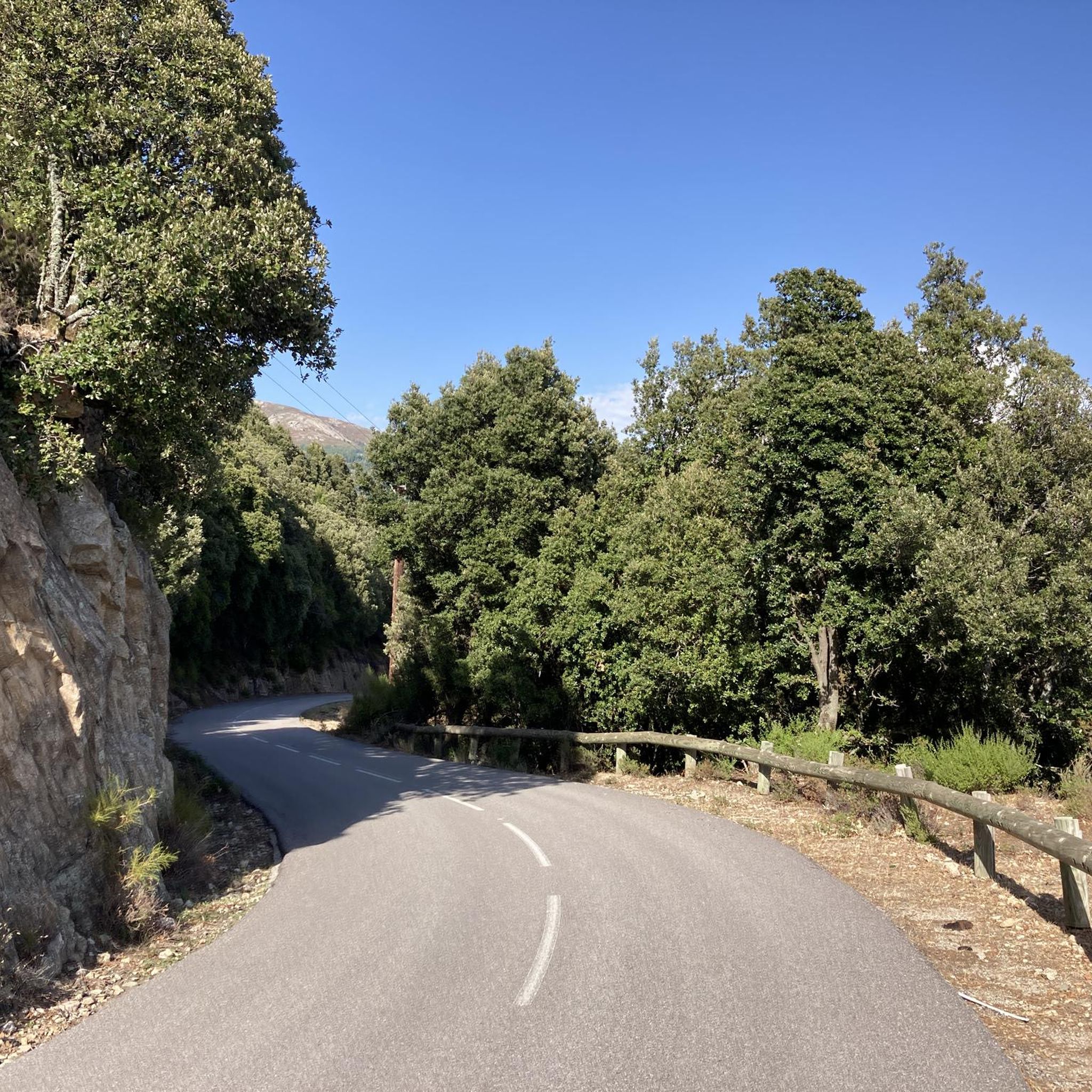
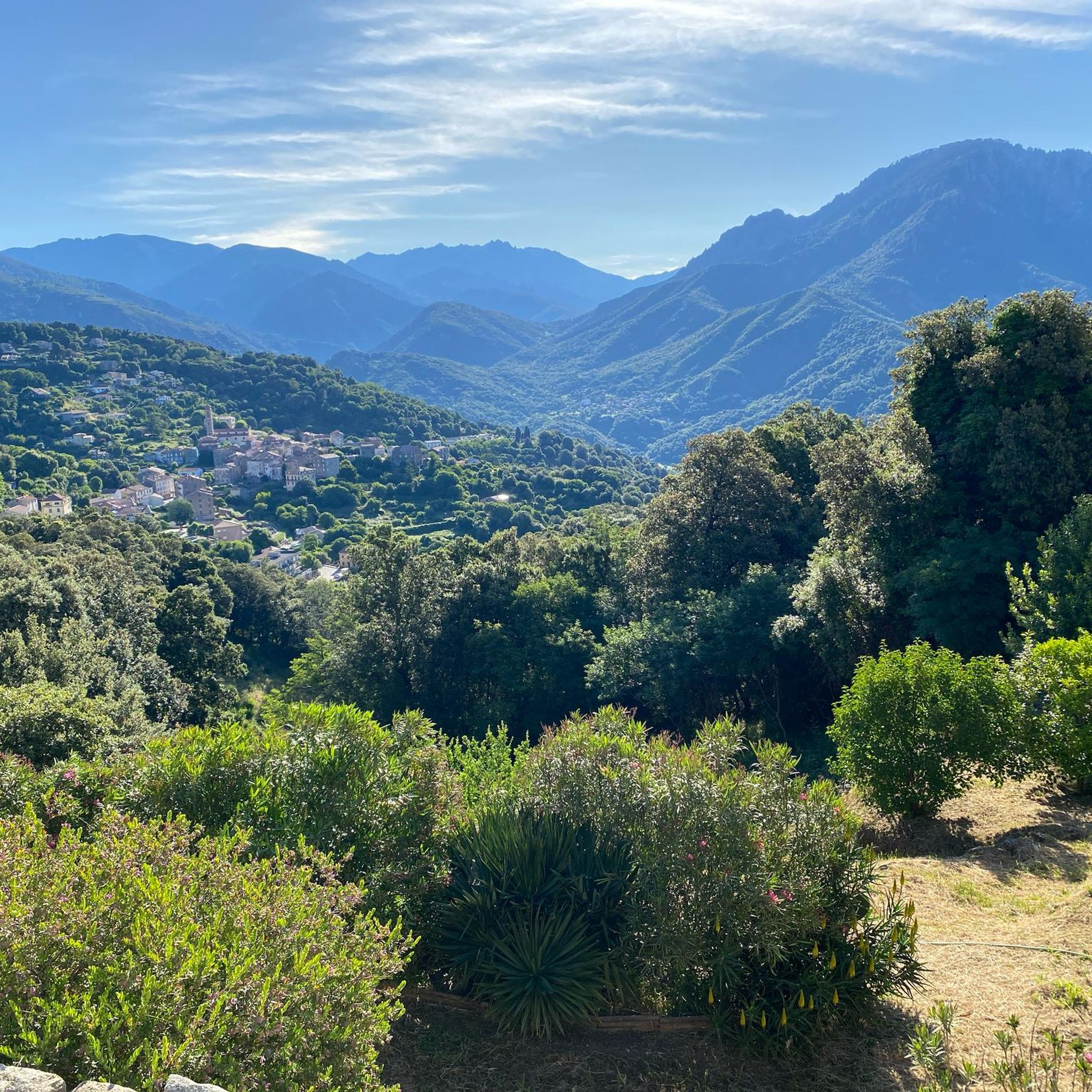
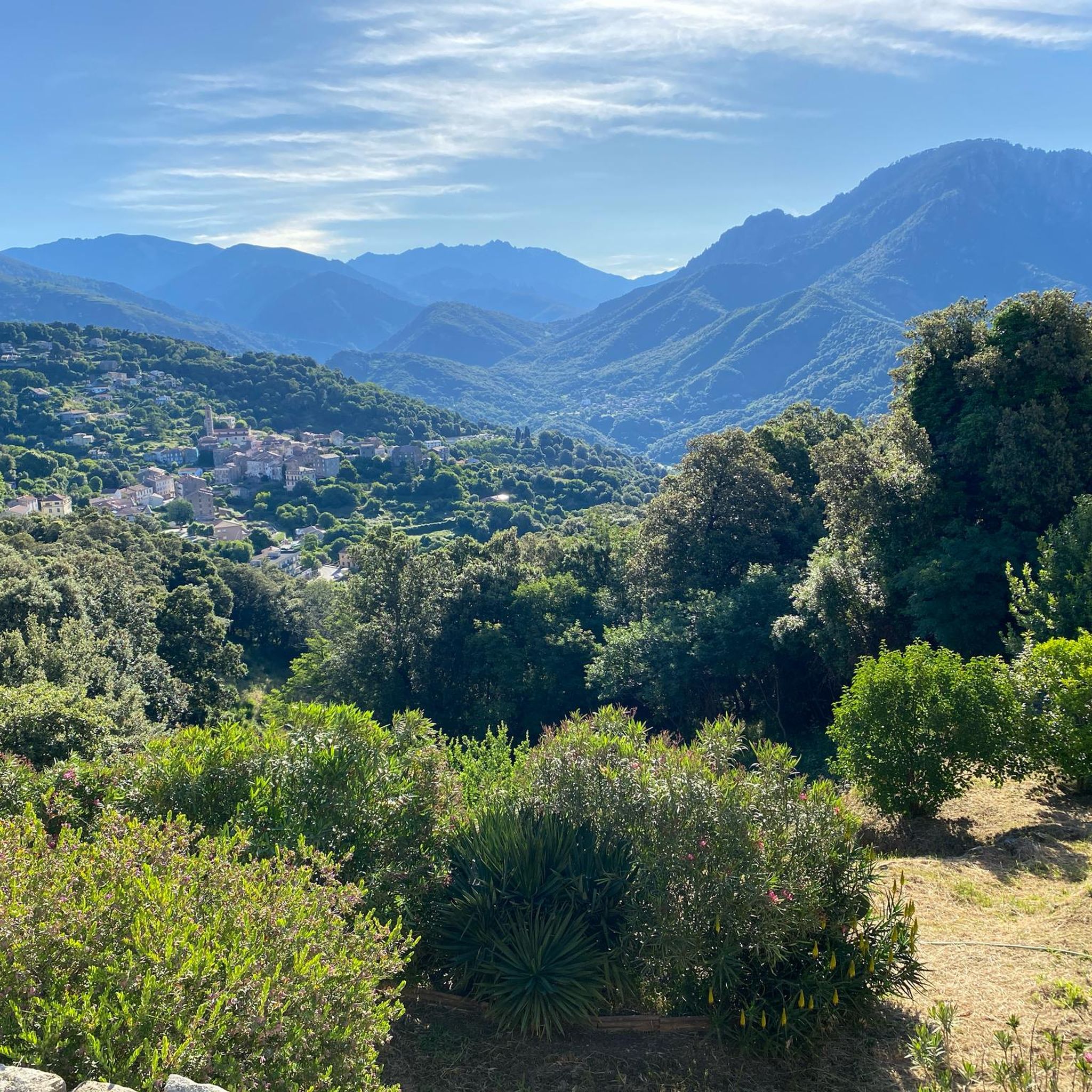
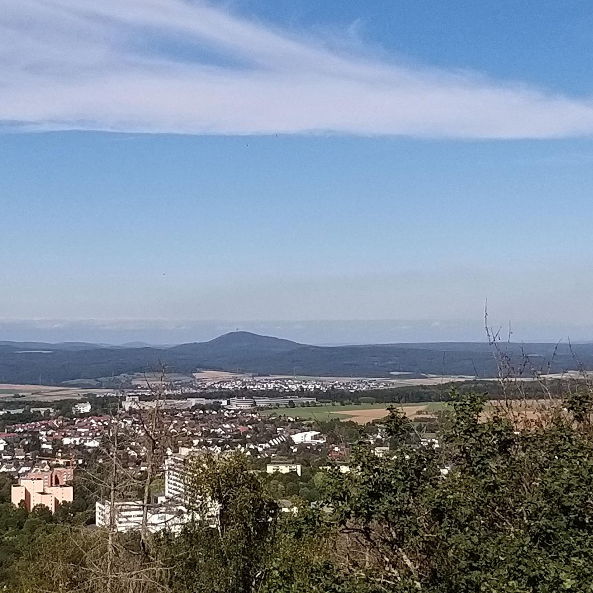
Pretty here, very pretty
1
0
pretty here, very pretty
1
0

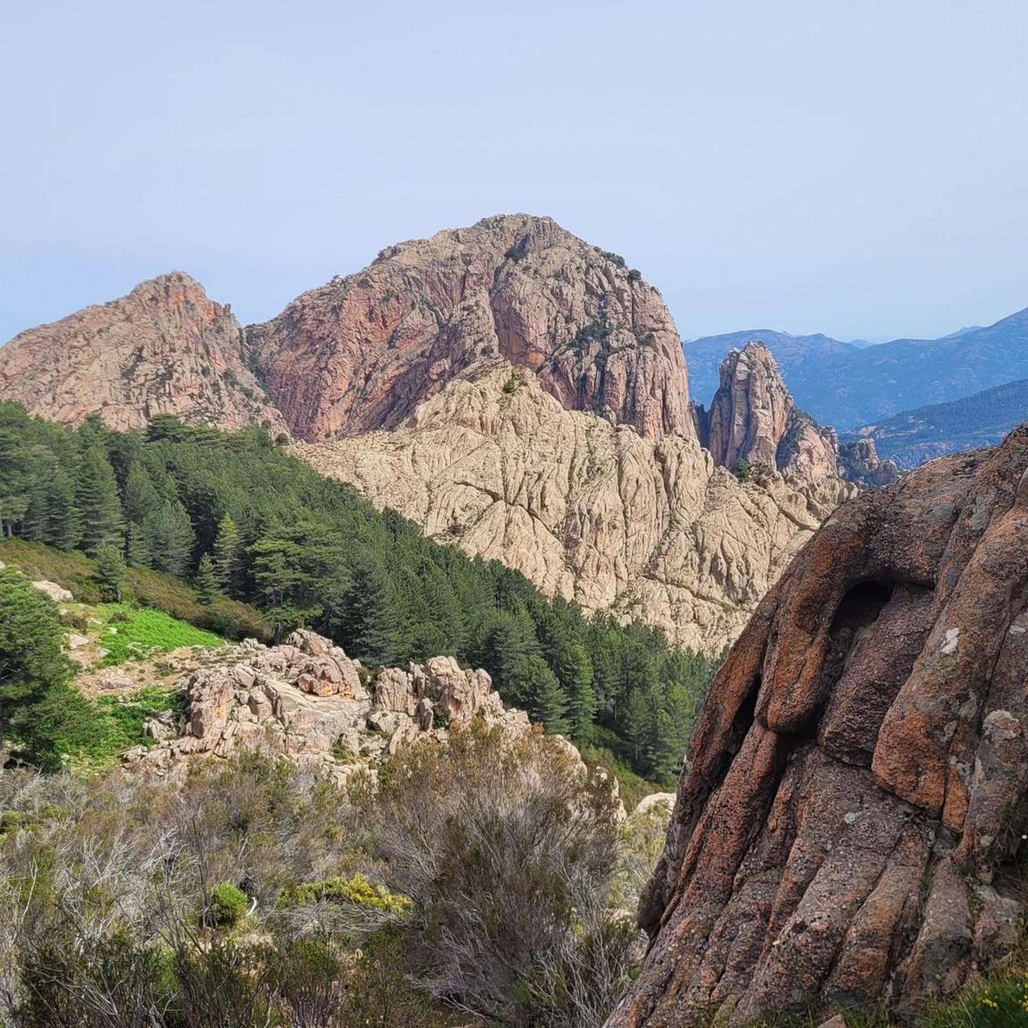
Great view, beautiful area, perfect for a break.
0
0
Frequently Asked Questions
What kind of terrain can I expect on mountaineering routes around Balogna?
The mountaineering routes around Balogna primarily traverse the diverse Apennine mountains. You'll encounter a varied landscape featuring rolling hills, dense forests, limestone ridges, high pastures, and deep valleys. The region is also known for unique geological formations like gypsum hills and karst formations, particularly within protected natural parks such as the Parco dei Gessi Bolognesi e Calanchi dell'Abbadessa.
Are there any family-friendly mountaineering routes in the Balogna area?
While many routes are challenging, the region offers options for varying skill levels. For families, consider exploring areas within the Parco dei Gessi Bolognesi e Calanchi dell'Abbadessa, which has less strenuous paths, or the scenic walks around Monte San Luca, known for its historic portico. These areas provide beautiful scenery without the extreme difficulty of some higher mountain ascents.
What are some notable natural landmarks or viewpoints I can discover on these routes?
The routes offer access to several impressive natural landmarks. You can find stunning gorges like the Piana Calanques and Spelunca gorges. The highest point, Corno alle Scale, provides incredible panoramic views that can stretch to the Alpine arc and even Corsica on clear days. Other highlights include the Capu d'Orto summit and the unique Calanques of Piana.
What is the best time of year for mountaineering in Balogna?
The Apennine mountains around Balogna are enjoyable across seasons. Spring and autumn offer pleasant temperatures and vibrant landscapes, ideal for hiking. Summer is excellent for higher altitude routes, though it can be warm at lower elevations. In winter, higher areas like Corno alle Scale transform into destinations for skiing and snowshoeing, offering a different kind of mountain experience.
Are there any circular mountaineering routes available?
Yes, there are several circular routes to explore. For example, the difficult Above the clouds – Capu Ortu loop from Piana offers extensive views, while the Dragon Rock Formation loop from Ota features unique geological features. Another option is the moderate Châtaigneraie de Palani loop from Piana, which takes you through chestnut groves.
What is the general difficulty level of mountaineering routes in Balogna?
The mountaineering routes in Balogna offer a range of difficulties. Out of the 7 available routes, 2 are considered moderate and 5 are difficult, indicating that many trails involve significant elevation gain and challenging terrain. For instance, the Col San Petru loop from Ota is a difficult route covering over 16 km with substantial ascent.
Can I find any river swimming spots near the mountaineering routes?
Yes, the region offers natural swimming opportunities. You can find a River Swimming Spot in Parc Naturel Régional de Corse, which can be a refreshing stop after a challenging mountaineering excursion. Always check local conditions and safety guidelines before swimming.
What do other mountaineers say about the routes in Balogna?
The mountaineering routes in Balogna are highly regarded by the komoot community, with an average rating of 4.2 stars from over 10 reviews. Users often praise the diverse Apennine landscape, which includes dense forests, high mountain pastures, and challenging peaks, providing a rewarding experience for various ability levels.
Are there any specific trails that offer particularly good views?
Many routes in the Balogna Apennines are known for their scenic viewpoints. The Above the clouds – Capu Ortu loop from Piana is specifically highlighted for its expansive views. Additionally, the summit of Corno alle Scale, the highest point in the Bolognese Apennines, provides breathtaking panoramic vistas.
Are there any long-distance trekking routes that pass through the Balogna Apennines?
Yes, the Balogna Apennines are part of several renowned long-distance trekking routes. The famous Via degli Dei (Path of the Gods) connects Bologna to Florence, offering multi-day trekking through stunning mountain scenery. Other significant routes include the Via della Lana e della Seta and the Alta Via dei Parchi, which allow for extended exploration of the protected natural areas.
What kind of wildlife might I encounter while mountaineering in the Balogna region?
The Bolognese Apennines are rich in biodiversity and serve as an important ecological corridor. While exploring the routes, you might encounter various wildlife, including deer, wild boar, and even wolves. The dense beech forests and high pastures provide habitats for a wide array of species.
Most popular attractions around Balogna

Get inspired with the komoot mobile app


Explore more
Browse the best Mountain Hikes & Routes in other regions.
