The best mountain hikes around Surba
5.0
(2)
7
hikers
3
hikes
Mountaineering routes Surba are situated in the Ariège department of the French Pyrenees, a region characterized by its rugged mountainous terrain and significant elevation changes. The landscape offers a mix of alpine conditions, dense forests, and dramatic rock formations, providing a diverse environment for outdoor exploration. This area is known for its challenging ascents and varied natural features, making it suitable for experienced mountaineers.
Best mountaineering routes around Surba
- The most popular mountaineering route is Étang d'Artax – Roc de…
Last updated: October 16, 2026
5.0
(1)
4
hikers
14.6km
07:13
1,160m
1,160m
Hard mountaineering route. Very good fitness required. Sure-footedness, sturdy shoes and alpine experience required.
2
hikers
14.1km
04:31
560m
560m
Moderate mountaineering route. Good fitness required. Easily-accessible paths. Suitable for all skill levels.

5.0
(1)
1
hikers
Moderate mountaineering route. Good fitness required. Mostly accessible paths. Sure-footedness required.
Our route recommendations are based on thousands of hikes, rides, and runs completed by other people on komoot.
Start today with a free account
Your next adventure awaits.
Tips from the Community


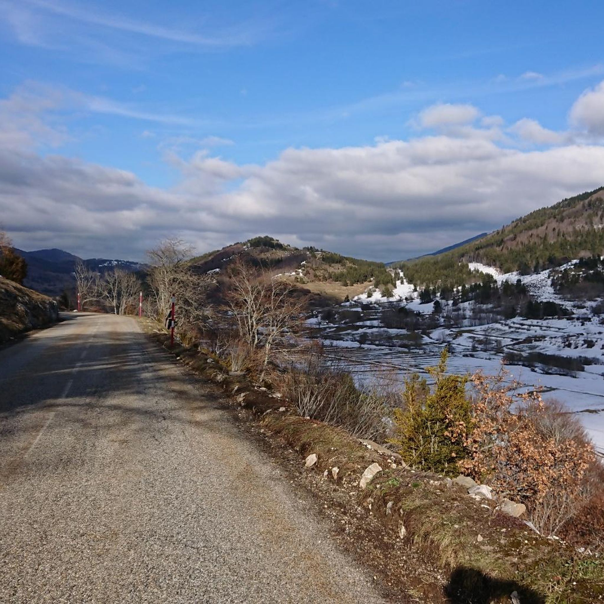
A magnificent peak, accessible to any experienced hiker. However, you must be careful to wait until the snow has completely melted before making the ascent.
2
0

Climb made by the Col de la Pourtanelle quite physical up to the Pic des Trois Seigneurs
1
1

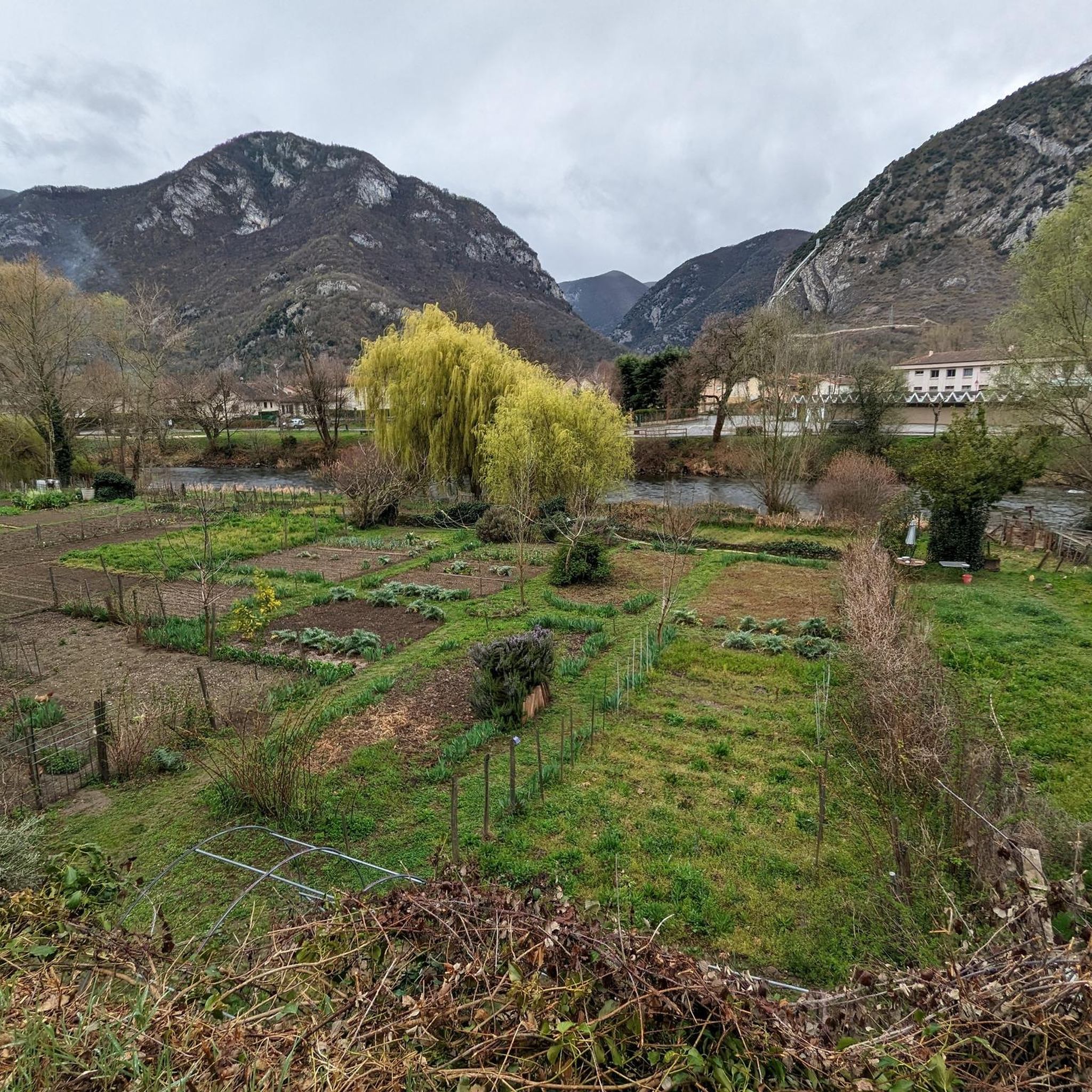
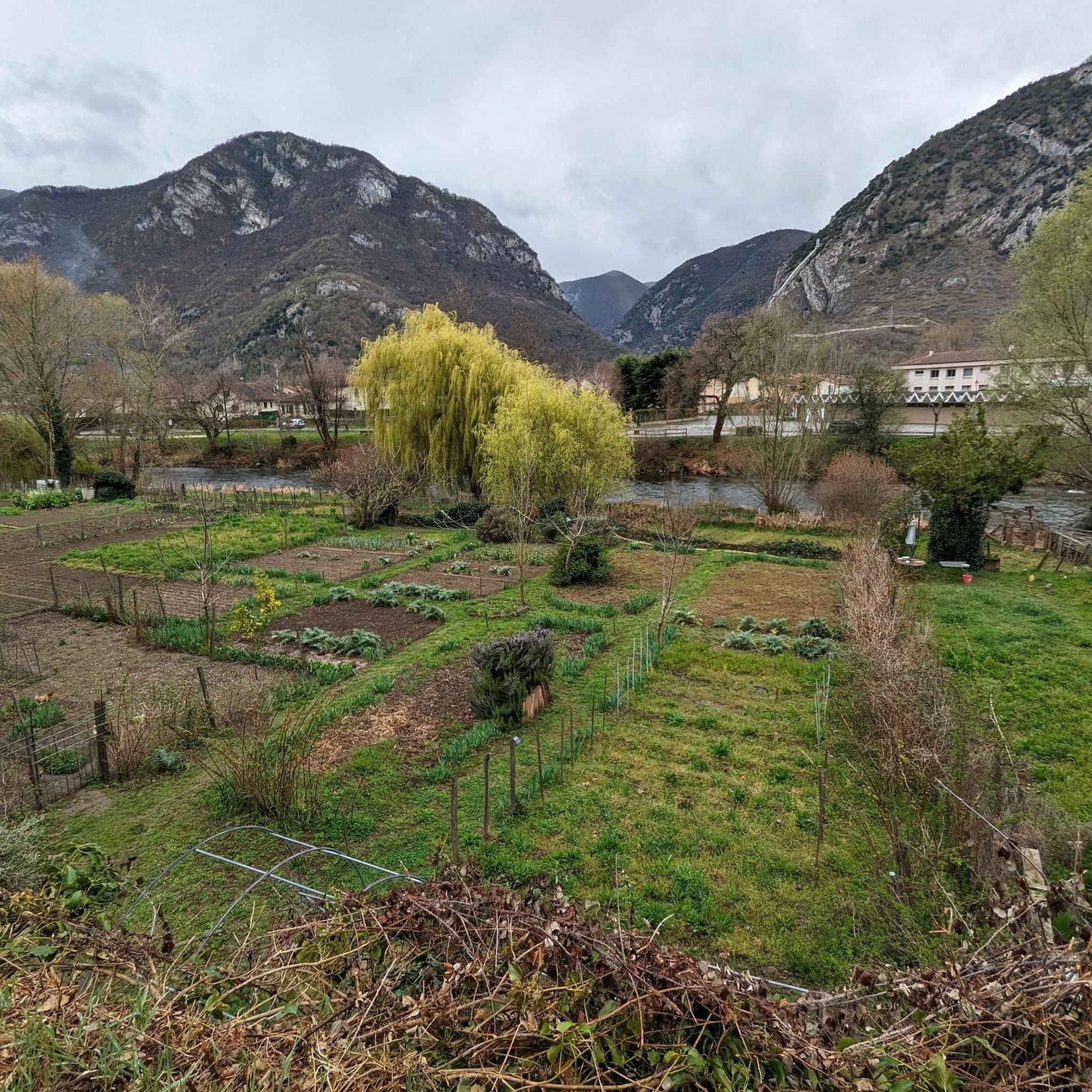
Beautiful town with idyllic river views.
0
0

A peak that rises to 2,199 meters above sea level and offers a magnificent view of the Pyrenees.
2
0

The view of the mountains is awesome :)
1
0

Requires good physical condition and good shoes, some steep sections but not exposed.
1
1

(not too blue in this season ;-)) 40 minutes from the Blue Pond, towards the Pic des Trois Seigneurs (almost the same, the same view, no need to go that far).
2
0
Frequently Asked Questions
How many mountaineering routes are available around Surba?
There are 6 distinct mountaineering routes detailed around Surba, offering a range of challenging ascents and diverse Pyrenean landscapes for experienced mountaineers.
What are the typical difficulty levels for mountaineering routes in Surba?
The mountaineering routes around Surba are primarily geared towards experienced individuals. Out of the 6 routes, 4 are classified as difficult, and 2 are moderate. There are no easy routes listed, indicating a focus on more challenging terrain.
Are there any circular mountaineering routes in the Surba area?
Yes, many of the routes around Surba are circular, allowing you to start and finish at the same point. Examples include the challenging Étang d'Artax – Roc de Querquéou loop from Gourbit and the Embans Circus loop from Parking du Ressec, both offering significant elevation gains.
What is the average duration for mountaineering routes near Surba?
The duration of routes varies depending on their length and difficulty. For instance, the Étang d'Artax – Roc de Querquéou loop from Gourbit typically takes around 6 hours and 21 minutes, while the Mont Fourcat loop from Arnave is often completed in about 6 hours and 3 minutes. The longest route, Pic des Trois Seigneurs loop from Parking du Ressec, can take over 7 hours.
What kind of natural features can I expect to see while mountaineering in Surba?
Surba is situated in the French Pyrenees, offering rugged mountainous terrain, significant elevation changes, and diverse rock formations. You'll encounter alpine conditions, dense forests, and dramatic landscapes. The region is also known for its karst features, with nearby attractions like Lombrives Cave, suggesting interesting geological formations.
What do other mountaineers say about the routes in Surba?
The mountaineering routes in Surba are highly regarded by the komoot community, holding an impressive average rating of 4.9 stars from 6 reviews. Over 30 mountaineers have used komoot to explore this varied terrain, often praising the challenging ascents and panoramic views of the Pyrenean landscape.
Are there any moderate mountaineering options for those looking for a less extreme challenge?
Yes, while most routes are difficult, there are a couple of moderate options. The Notre-Dame de Sabart Chapel – Tarascon-sur-Ariège loop from Tarascon-sur-Ariège is a moderate 14.5 km route with over 560 meters of elevation gain, offering a substantial but less extreme challenge.
What are some notable landmarks or attractions near the mountaineering routes?
Beyond the trails, you can explore several interesting landmarks. The Notre-Dame de Sabart Chapel is a significant man-made monument, and the town of Tarascon-sur-Ariège offers cultural interest. For natural features, consider visiting Mount Fourcat or the historic Devil's Bridge.
When is the best season for mountaineering in Surba?
Given Surba's location in the Pyrenees with alpine conditions and nearby ski resorts, the best season for mountaineering typically depends on your activity. For general mountaineering, late spring to early autumn usually offers the most favorable weather. Winter conditions can be challenging, potentially requiring specialized gear for ski mountaineering or winter hiking.
Are there opportunities for winter mountaineering or ski mountaineering in the Surba area?
Surba's proximity to ski resorts like Les Monts d'Olmes and Plateau de Beille indicates a mountainous environment with significant elevation changes and alpine conditions. This suggests potential for ski mountaineering or winter hiking, though specific routes and conditions would require careful planning and appropriate gear for winter exploration.
What kind of terrain can I expect on the mountaineering routes around Surba?
The terrain around Surba is characterized by its rugged and varied nature. You can expect challenging ascents, high mountain passes, and sections through dense forests. The routes often feature significant elevation gains and diverse rock formations typical of the Pyrenean landscape.
Most popular attractions around Surba

Get inspired with the komoot mobile app


Explore more
Browse the best Mountain Hikes & Routes in other regions.
