The best running trails around Lédergues
3.0
(1)
91
runners
15
runs
Jogging around Lédergues offers routes through the rolling, green countryside of the Ségala region, characterized by its undulating terrain and varied topography. The area is shaped by the Giffou and Cérou rivers, which create numerous valleys and meanders, providing scenic and often shaded paths. With altitudes ranging from 331 to 544 meters, Lédergues presents a diverse backdrop for runners, from gentle slopes to more challenging inclines.
Best jogging routes around Lédergues
- The most popular jogging route is Running loop from…
Last updated: June 29, 2026
33
runners
10.5km
01:27
390m
390m
Hard run. Very good fitness required. Mostly paved surfaces. Suitable for all skill levels.
33
runners
10.2km
01:18
250m
250m
Moderate run. Good fitness required. Mostly paved surfaces. Suitable for all skill levels.

Sign up for free
4.0
(1)
27
runners
17.1km
02:10
470m
470m
Hard run. Very good fitness required. Mostly paved surfaces. Suitable for all skill levels.
8
runners
17.3km
02:18
620m
620m
Hard run. Very good fitness required. Mostly paved surfaces. Suitable for all skill levels.
3
runners
11.3km
01:19
220m
220m
Moderate run. Good fitness required. Mostly paved surfaces. Suitable for all skill levels.
Get access to more routes and recommendations from other explorers.
Sign up for free
Already have an account?
Our route recommendations are based on thousands of hikes, rides, and runs completed by other people on komoot.
Start today with a free account
Your next adventure awaits.
Login or Signup

Tips from the Community

Gothic church overlooking the village
0
0

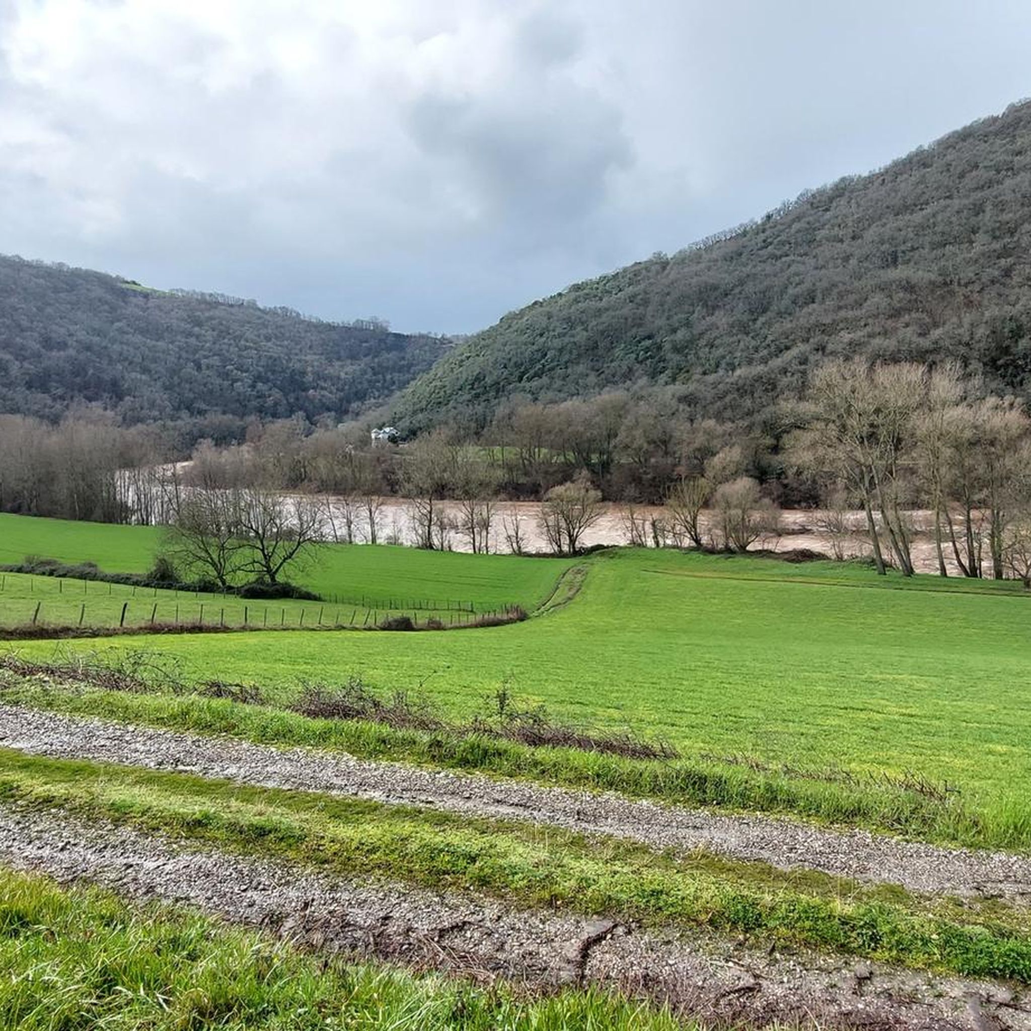
From the Lincou bridge, the view of the Tarn which meanders through this part of the valley is superb.
1
0

The Notre-Dame-de-Lasplanques church, once surrounded by a small hamlet, dates back to the 11th century. Its lost location in the Viaur valley and its defensive architecture allowed the population to take refuge there in the event of an attack, in particular from trucking companies (looter soldiers and mercenaries of the Middle Ages).
0
0
Frequently Asked Questions
How many running routes are available around Lédergues?
There are over 15 running routes in the Lédergues area, offering a variety of experiences through the region's rolling countryside and river valleys. These routes cater to different fitness levels, with a focus on moderate to difficult trails.
Are there running routes for all skill levels in Lédergues?
Lédergues offers a diverse range of running trails, primarily featuring moderate to difficult options. While there are no routes specifically classified as 'easy' in our current selection, the varied topography with altitudes ranging from 331 to 544 meters ensures a good challenge for those seeking to improve their endurance or enjoy a more strenuous run.
What kind of terrain can I expect on jogging routes in Lédergues?
Jogging routes in Lédergues traverse the undulating and verdant terrain of the Ségala region. You can expect a mix of gentle slopes and more challenging inclines, shaped by the Giffou and Cérou rivers. These riverine landscapes often provide scenic and shaded paths, perfect for experiencing the local flora and fauna.
Are there any long-distance running trails near Lédergues?
Yes, for those looking for a longer challenge, routes like the Château de Tanus le Vieux loop from Tanus offer a substantial distance of nearly 33 km with significant elevation gain. Another option is the Bridge over the Tarn at Lincou – Lincou Church loop from Réquista, which is over 17 km long.
What natural features or scenic views can I enjoy while running in Lédergues?
The region is characterized by its rolling, green countryside and the meanders of the Giffou and Cérou rivers, offering picturesque views. You'll run through valleys and along riverbanks, experiencing the rich natural environment of a Natura 2000 site. For breathtaking landscapes, consider routes that venture closer to the Gorges des Raspes du Tarn, or seek out viewpoints like the Roc de Miramont, approximately 8.5 km from Lédergues, for panoramic vistas.
Are there circular running routes available in Lédergues?
Yes, many of the running routes around Lédergues are circular, allowing you to start and finish at the same point. Popular examples include the Running loop from Tanus, the Running loop from La Carairie, and the Running loop from Aire de Vision du Gô.
What do other runners enjoy most about jogging in Lédergues?
The running trails in Lédergues are highly rated by the komoot community, with an average score of 3.5 stars from 2 reviews. Runners often praise the diverse topography, the scenic river valleys, and the peaceful, rural environment that makes for an active and enjoyable outdoor experience.
Are there any interesting landmarks or attractions along the running routes?
While running, you might encounter various points of interest. For example, the Bridge over the Tarn at Lincou – Lincou Church loop from Réquista passes by the notable Bridge over the Tarn at Lincou. Other nearby attractions include the Church of Notre-Dame-de-Lasplanques and Taurines Castle, which can be incorporated into longer excursions.
Can I find routes that are suitable for families or dog-friendly in Lédergues?
The varied terrain of Lédergues offers many paths through natural landscapes. While specific 'family-friendly' or 'dog-friendly' designations are not explicitly listed for all routes, the general character of the region's trails through green countryside and river valleys makes them suitable for outdoor activities with well-behaved dogs. For families, consider routes with less elevation gain, though most trails here are moderate to difficult.
Is there public transport access to the running trails in Lédergues?
Lédergues is a rural commune in Aveyron, and public transport options directly to trailheads might be limited. It is generally recommended to use a car to access the starting points of the running routes, especially for those located further afield from the village center.
Are there parking facilities available near the running routes?
While specific parking information for every trailhead is not detailed, most running routes in rural areas like Lédergues typically have informal parking available near their starting points, often in village centers or designated areas. It is advisable to check individual route descriptions on komoot for more precise parking suggestions.
Are there any cafes or places to get refreshments near the running routes?
Lédergues and its surrounding villages offer local amenities where you can find refreshments. While not directly adjacent to every trailhead, planning your run to pass through or end near the village center of Lédergues or other nearby hamlets would allow you to access cafes or small shops.
Most popular attractions around Lédergues

Get inspired with the komoot mobile app


Explore more
Browse the best Running Trails & Routes in other regions.
