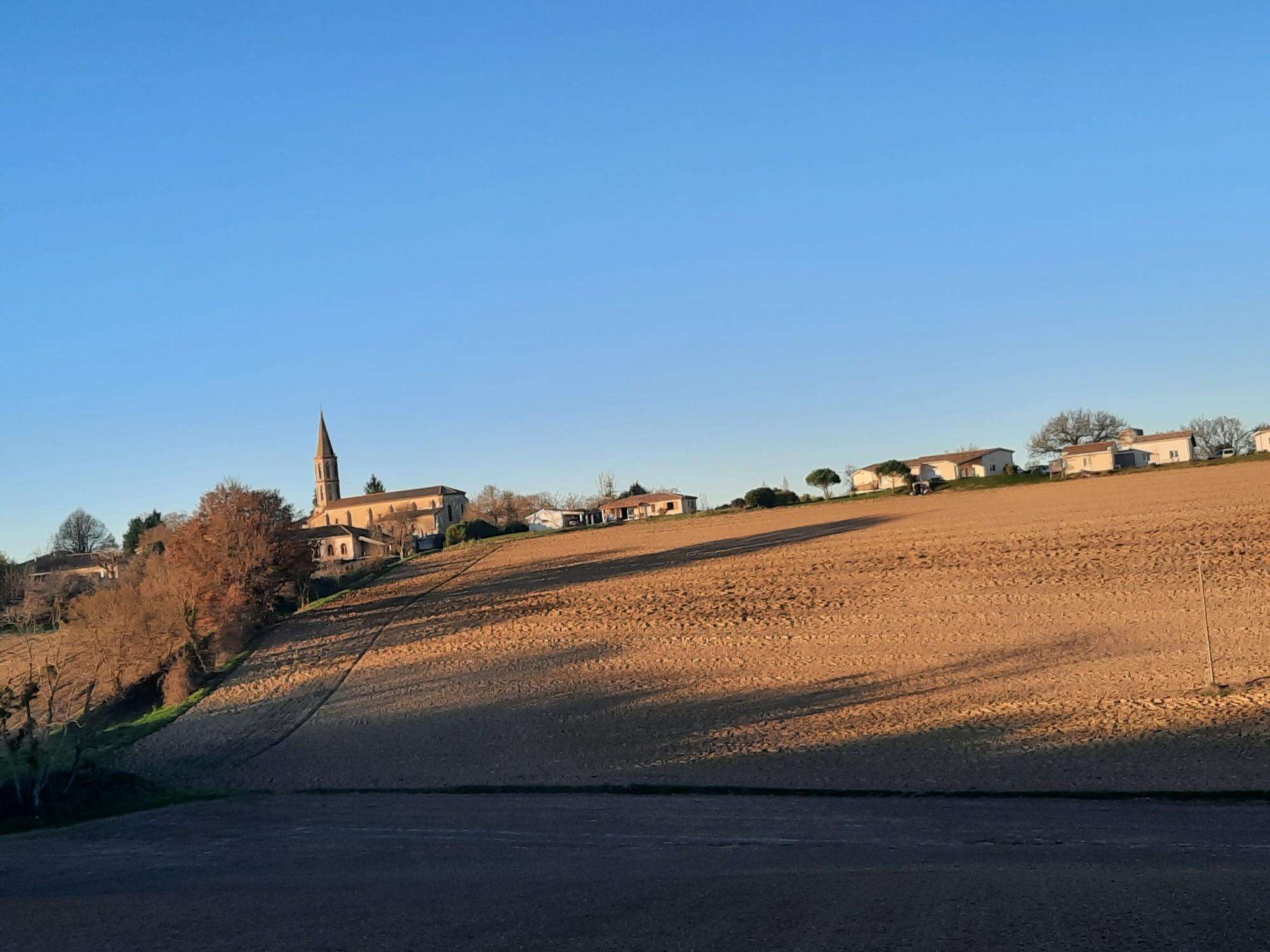
The best walks and hikes around Montgaillard
4.8
(5)
121
hikers
14
hikes
Hiking around Montgaillard offers varied terrain within a mountainous zone, providing access to the western extensions of the Néouvielle and Arbizon massifs. The region features panoramic views of the Tarbaise plain and the Haut-Adour valley, with the Adour River draining the commune. Montgaillard is recognized for its rich biodiversity, including a Natura 2000 site with diverse flora and fauna.
Best hiking trails around Montgaillard
- The most popular hiking route is Château d'Avezan loop from Tournecoupe, a 7.0 miles (11.2…
Last updated: July 2, 2026
5.0
(1)
9
hikers
11.2km
03:06
190m
190m
Moderate hike. Good fitness required. Easily-accessible paths. Suitable for all skill levels.
5.0
(1)
9
hikers
15.1km
04:09
250m
250m
Moderate hike. Good fitness required. Easily-accessible paths. Suitable for all skill levels.

Sign up for free
12
hikers
18.2km
05:05
370m
370m
Hard hike. Very good fitness required. Easily-accessible paths. Suitable for all skill levels.
9
hikers
7.79km
02:01
40m
40m
Moderate hike. Good fitness required. Easily-accessible paths. Suitable for all skill levels.
6
hikers
18.1km
05:00
310m
310m
Moderate hike. Good fitness required. Easily-accessible paths. Suitable for all skill levels.
Get access to more routes and recommendations from other explorers.
Sign up for free
Already have an account?
Our route recommendations are based on thousands of hikes, rides, and runs completed by other people on komoot.
Start today with a free account
Your next adventure awaits.
Login or Signup

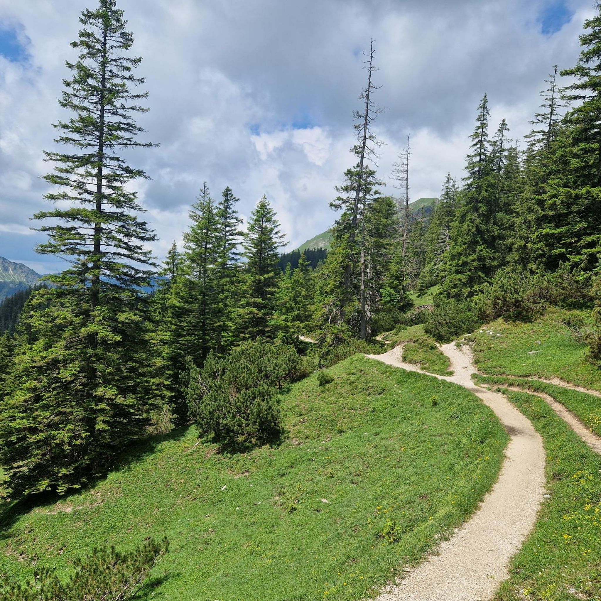
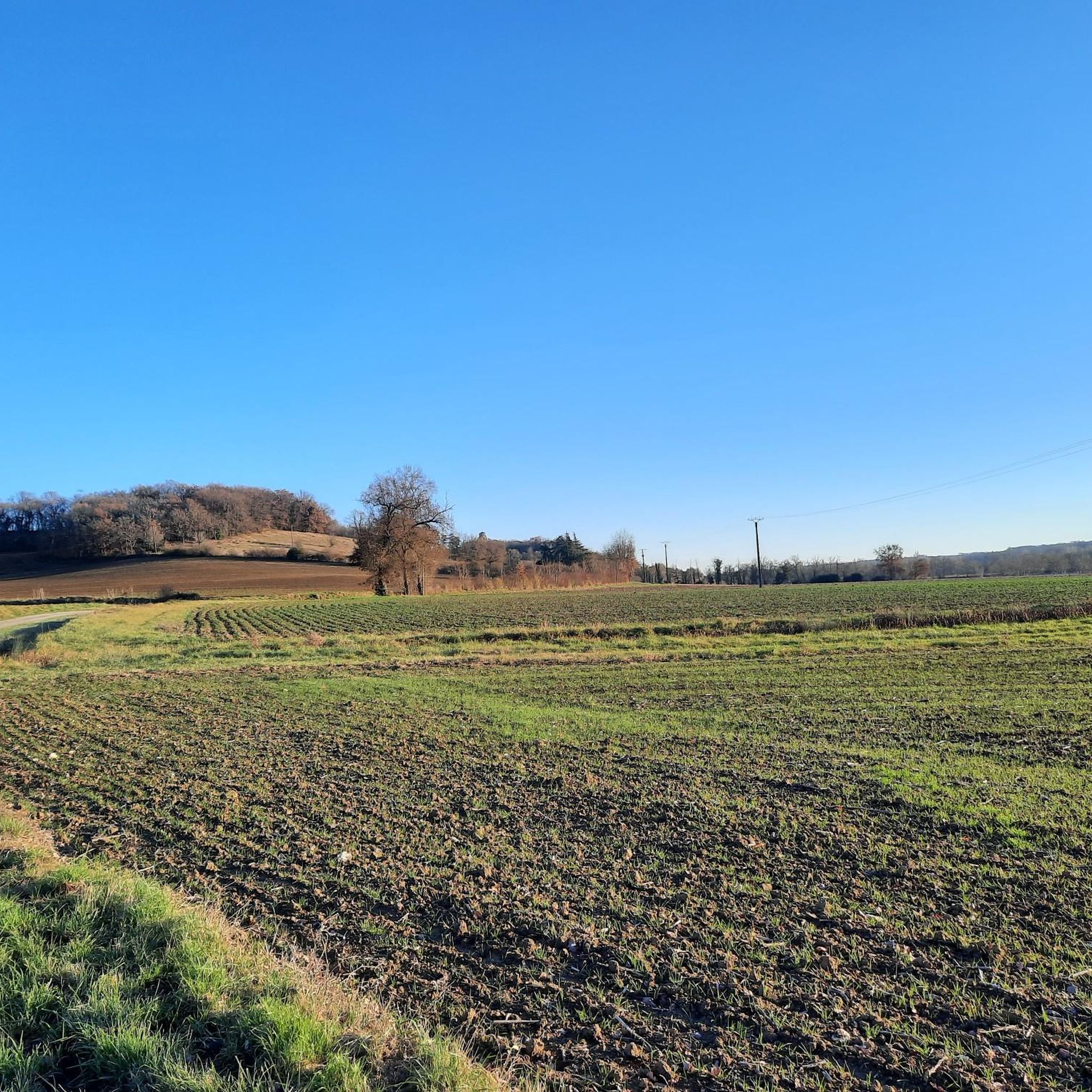

Tips from the Community

Large fishing and swimming lake, on which the Lomagnol leisure center is located. It is possible to go around it by a small path.
1
0
Frequently Asked Questions
What types of hiking trails can I find around Montgaillard?
Montgaillard offers a diverse range of hiking trails, from easier village paths to more challenging mountain routes. The area is characterized by its mountainous terrain, providing access to the western extensions of the Néouvielle and Arbizon massifs. You'll find paths leading through forested areas, along river valleys, and up to panoramic viewpoints.
Are there any easy or family-friendly hiking options in Montgaillard?
Yes, Montgaillard has several options suitable for families and those looking for easier walks. There are 5 easy routes available. The Lac de Beaumont-de-Lomagne loop from Beaumont-de-Lomagne is a moderate 7.8 km trail with minimal elevation gain, offering a pleasant experience. The region also features a unique barefoot trail for a different sensory experience, and the Puyolles Circuit is a family-friendly loop with beautiful views and historic paths.
What are the more challenging hikes available in the Montgaillard area?
For experienced hikers seeking a challenge, Montgaillard offers 2 difficult routes. An example is the Bois de Gayri loop from Montgaillard, an 18.2 km trail with significant elevation gain, typically taking over 5 hours to complete. These routes often lead through mountainous terrain, providing a more strenuous workout and rewarding views.
Are there any circular hiking routes around Montgaillard?
Yes, many of the trails around Montgaillard are circular, allowing you to start and end in the same location. For example, the Château d'Avezan loop from Tournecoupe is a popular moderate circular route covering 11.2 km. The Puyolles Circuit is another family-friendly loop that explores the heights of Montgaillard.
What kind of natural landscapes and views can I expect while hiking here?
Hikers in Montgaillard can expect stunning natural landscapes. The area offers panoramic views of the Tarbaise plain and the Haut-Adour valley, with iconic peaks like the Pic du Midi de Bigorre and Montaigu visible in the distance. The region is also rich in biodiversity, including a Natura 2000 site along the Adour River, known for its diverse flora and fauna, such as the European otter.
Are there any interesting landmarks or attractions to see along the trails?
Beyond the natural beauty, Montgaillard's trails offer glimpses into the region's history and culture. You can explore old historic paths, discover numerous wash houses, and monumental crosses in the villages. The Puyolles Circuit, for instance, ascends to an ancient Roman oppidum. Nearby attractions include the Saint-Antoine Chapel of Saint-Antoine and the Château de Gramont.
Can I bring my dog on the hiking trails in Montgaillard?
While specific regulations for dogs on every trail can vary, generally, the natural environment around Montgaillard is welcoming for walks with dogs. It's always recommended to keep your dog on a leash, especially in areas with wildlife or livestock, and to respect local signage. The varied terrain, from village paths to mountain trails, offers many opportunities for you and your canine companion to explore.
When is the best time of year to go hiking in Montgaillard?
The best time to hike in Montgaillard is generally during spring, summer, and early autumn when the weather is mild and the natural scenery is vibrant. These seasons offer comfortable temperatures for exploring the mountainous terrain and enjoying the panoramic views. While winter hikes are possible, some higher altitude trails might be affected by snow, so checking local conditions is advisable.
Are there opportunities for wild swimming or seeing waterfalls near Montgaillard?
Yes, for those interested in wild swimming or waterfalls, the Gorges du Verdouble, though slightly further afield, offers beautiful landscapes with waterfalls and opportunities for relaxation and swimming. The Adour River, which drains the commune, also has shaded banks in the village center that can provide a refreshing spot during a walk.
What do other hikers say about their experience in Montgaillard?
The hiking routes in Montgaillard are highly rated by the komoot community, with an average score of 4.8 stars from 8 reviews. Hikers often praise the varied terrain, the beautiful views of the Tarbaise plain and Haut-Adour valley, and the overall tranquility of the environment. Many appreciate the mix of challenging mountain trails and more relaxed village paths.
Is public transport available to reach the hiking trailheads in Montgaillard?
Information on specific public transport links directly to all trailheads in Montgaillard is limited. However, Montgaillard is a commune in the Hautes-Pyrénées, and local bus services might connect it to larger towns like Bagnères-de-Bigorre, which is about 7 km away. For precise planning, it's best to consult local transport schedules for the Hautes-Pyrénées region.
Where can I find parking for hiking trails in Montgaillard?
While specific parking areas for every trailhead are not detailed, Montgaillard, being a village, typically offers public parking within or at the edges of the settlement. Many trails, especially circular ones, often start from village centers or designated parking spots. It's advisable to look for local parking signs upon arrival or check route descriptions for specific recommendations.
Most popular attractions around Montgaillard

Get inspired with the komoot mobile app


Explore more
Browse the best Hikes in other regions.
