The best running trails around Saint-Auban-Sur-L'Ouvèze
5.0
(3)
375
runners
47
runs
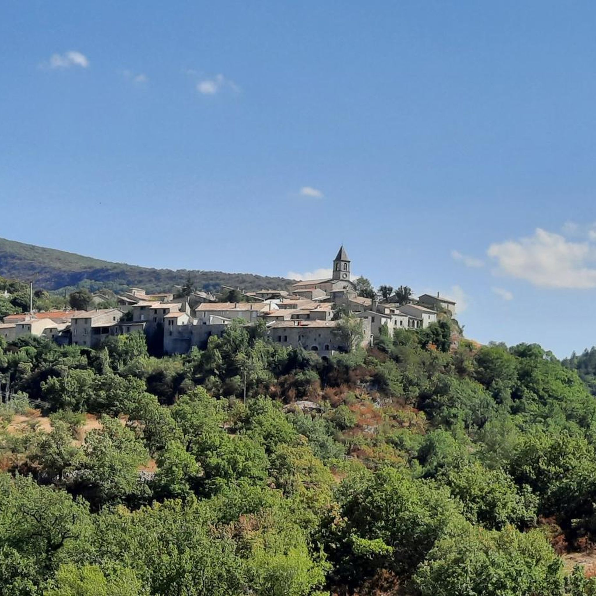
Jogging routes around Saint-Auban-Sur-L'Ouvèze are set within the Parc Naturel Régional des Baronnies Provençales, offering varied terrain for runners. The region features a blend of the scenic Ouvèze valley, characterized by lavender fields and fruit trees, alongside more challenging routes through gorges and up mountain passes. Joggers can expect landscapes ranging from gentle paths to routes winding through wooded hills and valleys, providing diverse running environments. The area is known for its natural features, including several mountain passes like Col…
Last updated: July 12, 2026
8
runners
38.2km
05:12
1,320m
1,320m
Hard run. Very good fitness required. Mostly paved surfaces. Suitable for all skill levels.
5.0
(1)
5
runners
9.83km
01:08
240m
240m
Moderate run. Good fitness required. Mostly paved surfaces. Suitable for all skill levels.

Sign up for free
7
runners
8.54km
01:12
300m
300m
Moderate run. Good fitness required. Mostly paved surfaces. Suitable for all skill levels.
7
runners
9.34km
01:03
260m
260m
Moderate run. Good fitness required. Mostly paved surfaces. Suitable for all skill levels.
5.0
(1)
4
runners
10.0km
01:21
400m
400m
Hard run. Very good fitness required. Mostly paved surfaces. Suitable for all skill levels.
Get access to more routes and recommendations from other explorers.
Sign up for free
Already have an account?
Our route recommendations are based on thousands of hikes, rides, and runs completed by other people on komoot.
Start today with a free account
Your next adventure awaits.
Login or Signup
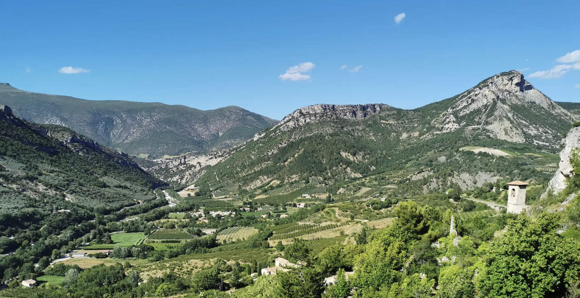
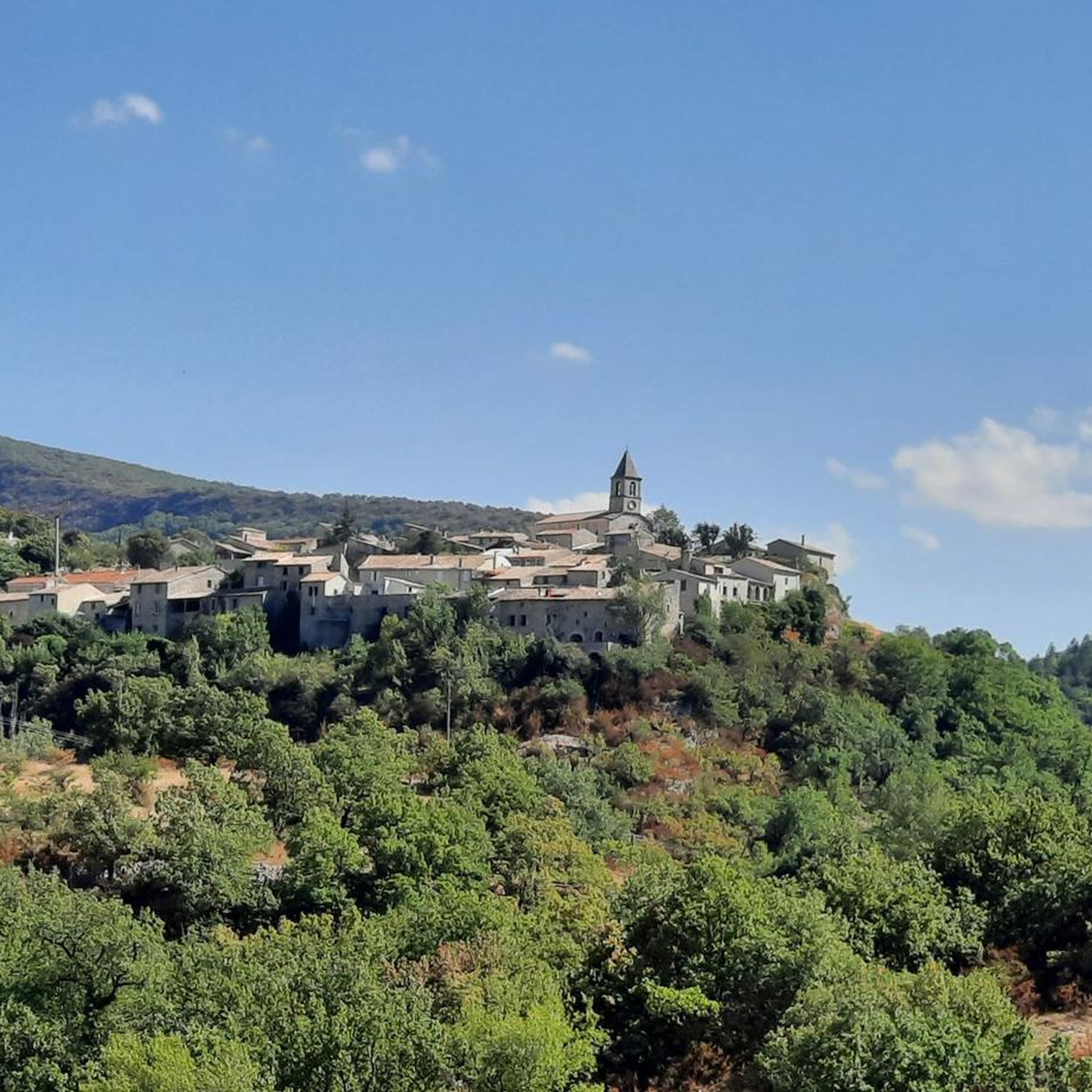
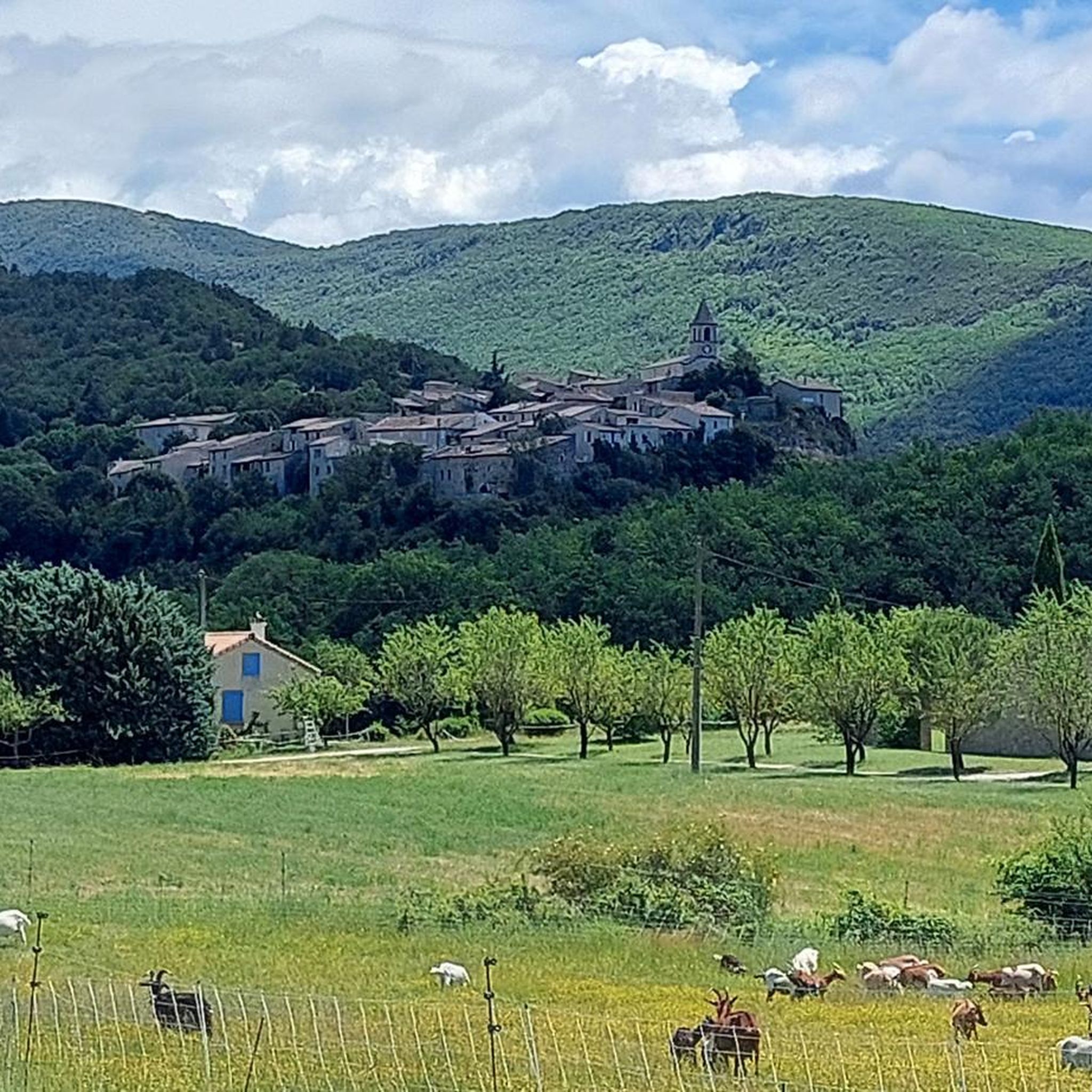
Other adventures around Saint-Auban-Sur-L'Ouvèze

Tips from the Community

For cyclists it's a climb: * Length: approx. 7 km * Elevation gain: approx. 320 m * Average gradient: 4.6% * Maximum gradient: approx. 5%
5
0
The Col de Peyruergue (794 m) is a pass located in the Drôme department, within the Parc naturel régional des Baronnies provençales. It connects the Ennuye valley with that of the Ouvèze, near Saint-Sauveur-Gouvernet.
6
0
Col de Perty is located in the Baronnies Provençales massif, in the Drôme department, in the Auvergne-Rhône-Alpes region, in the southeast of France. It reaches an altitude of 1,302 m and connects the Ouvèze valley with the Orpierre area, in the Hautes-Alpes.
11
0

Moderate gradient, beautiful views, and a wonderful descent towards St. Auban sur Ouveze
0
1


This old stone bridge spans the Alauzon and offers a breathtaking view of the gorges. The path is accessible by gravel bike.
0
0

From the summit of Arsuc (1460m), a breathtaking view awaits you.
0
0
The Col de Percy culminates at 1,302 meters above sea level. It offers you a panorama of the surrounding mountains and Mont Ventoux. You can park your car here, if necessary.
1
0
Frequently Asked Questions
How many running routes are available in Saint-Auban-sur-l'Ouvèze?
There are nearly 50 dedicated running routes around Saint-Auban-sur-l'Ouvèze, offering a wide variety of options for all skill levels. These routes are set within the beautiful Parc Naturel Régional des Baronnies Provençales.
What kind of terrain can I expect on the running trails in this region?
The terrain is quite varied, ranging from gentle paths through picturesque lavender fields and fruit trees in the Ouvèze valley to more challenging routes winding through impressive gorges and up mountain passes. You'll encounter wooded hills, valleys, and even some steep 'calades' (cobbled streets) within the village itself for short, intense inclines.
Are there running routes suitable for beginners or those looking for an easier run?
Yes, there are 19 moderate running routes available. These often follow the river valleys or traverse gentler landscapes, providing a good option for a steady run without extreme elevation changes. An example is the Alauzon Bridge loop from Alauzon, which is 10.1 km long.
Are there challenging long-distance running routes for experienced runners?
Absolutely. The region offers 30 difficult routes, many of which involve significant elevation gain and cover longer distances. For instance, the Perty Pass – Chamouse Mountain loop from Saint-Auban-sur-l'Ouvèze is a demanding 38.2 km trail with over 1,300 meters of elevation gain, traversing mountain passes and offering expansive views.
What natural features or landmarks can I see while running in Saint-Auban-sur-l'Ouvèze?
The routes often pass by stunning natural features. You might encounter impressive mountain passes like Col d'Ey or Perty Pass, offering panoramic views. The scenic Ubrieux Gorge is another notable sight, as are the picturesque lavender fields and fruit trees in the valleys.
Are there any routes that offer particularly scenic views?
Many routes provide breathtaking scenery. Trails that ascend to mountain passes like Perty Pass (1302 meters) or Col d'Ey (718 meters) are renowned for their panoramic vistas, including views of Mont Ventoux. The routes through the gorges also offer dramatic and unique landscapes.
Can I find circular running routes in the area?
Yes, many of the running routes around Saint-Auban-sur-l'Ouvèze are circular, allowing you to start and finish in the same location. Examples include the Col de Sanguinet loop from Le Poët-en-Percip and the Le Poët-en-Percip loop from Le Maupas.
What do other runners say about the trails in Saint-Auban-sur-l'Ouvèze?
The running routes in Saint-Auban-sur-l'Ouvèze are highly rated by the komoot community, with an average score of 5.0 stars. Over 190 runners have explored the varied terrain, often praising the diverse landscapes, from serene valley paths to challenging mountain ascents, and the unspoiled natural beauty of the regional park.
What is the best time of year for running in Saint-Auban-sur-l'Ouvèze?
The region is generally pleasant for outdoor activities for much of the year. Spring and autumn offer mild temperatures and vibrant scenery, with lavender fields blooming in early summer. While some higher mountain passes might be affected by snow in winter, many lower-elevation routes remain accessible, providing diverse options across seasons.
Are the running trails in Saint-Auban-sur-l'Ouvèze dog-friendly?
Many trails in the Parc Naturel Régional des Baronnies Provençales are suitable for dogs, especially those on wider paths or less frequented routes. However, it's always advisable to keep dogs on a leash, particularly in agricultural areas, near livestock, or in protected natural zones. Check specific route details for any restrictions.
Are there family-friendly running paths in the area?
While specific 'family-friendly' designations aren't always explicit for running, many of the moderate routes through the valleys and less steep areas would be suitable for families looking for a more relaxed jog or walk. The gentle paths through lavender fields offer an enjoyable experience for all ages.
Is parking available near the running routes?
Yes, parking is generally available in or near the villages that serve as starting points for many routes, such as Saint-Auban-sur-l'Ouvèze itself, Alauzon, or Le Poët-en-Percip. It's recommended to check the specific route details on komoot for designated parking areas.
How can I reach the running trails using public transport?
Public transport options directly to the trailheads in this rural area may be limited. It's often more convenient to reach Saint-Auban-sur-l'Ouvèze by car. However, local bus services might connect larger towns in the Drôme department, from which you could potentially access some starting points. Checking regional transport schedules is recommended.
Most popular routes around Saint-Auban-Sur-L'Ouvèze
Most popular attractions around Saint-Auban-Sur-L'Ouvèze

Get inspired with the komoot mobile app


Explore more
Browse the best Running Trails & Routes in other regions.
