The best road cycling routes around Kamern
4.9
(46)
688
riders
35
rides
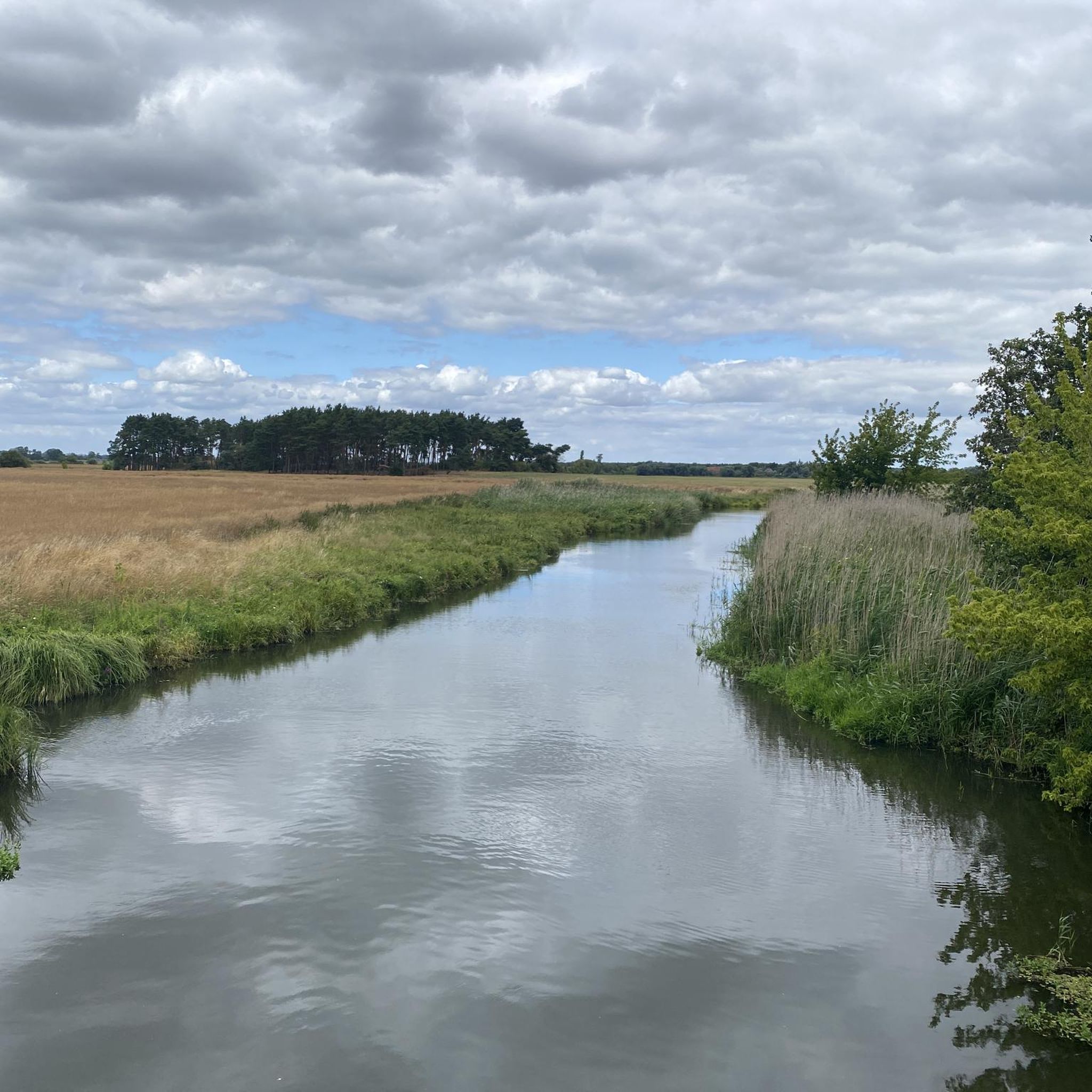
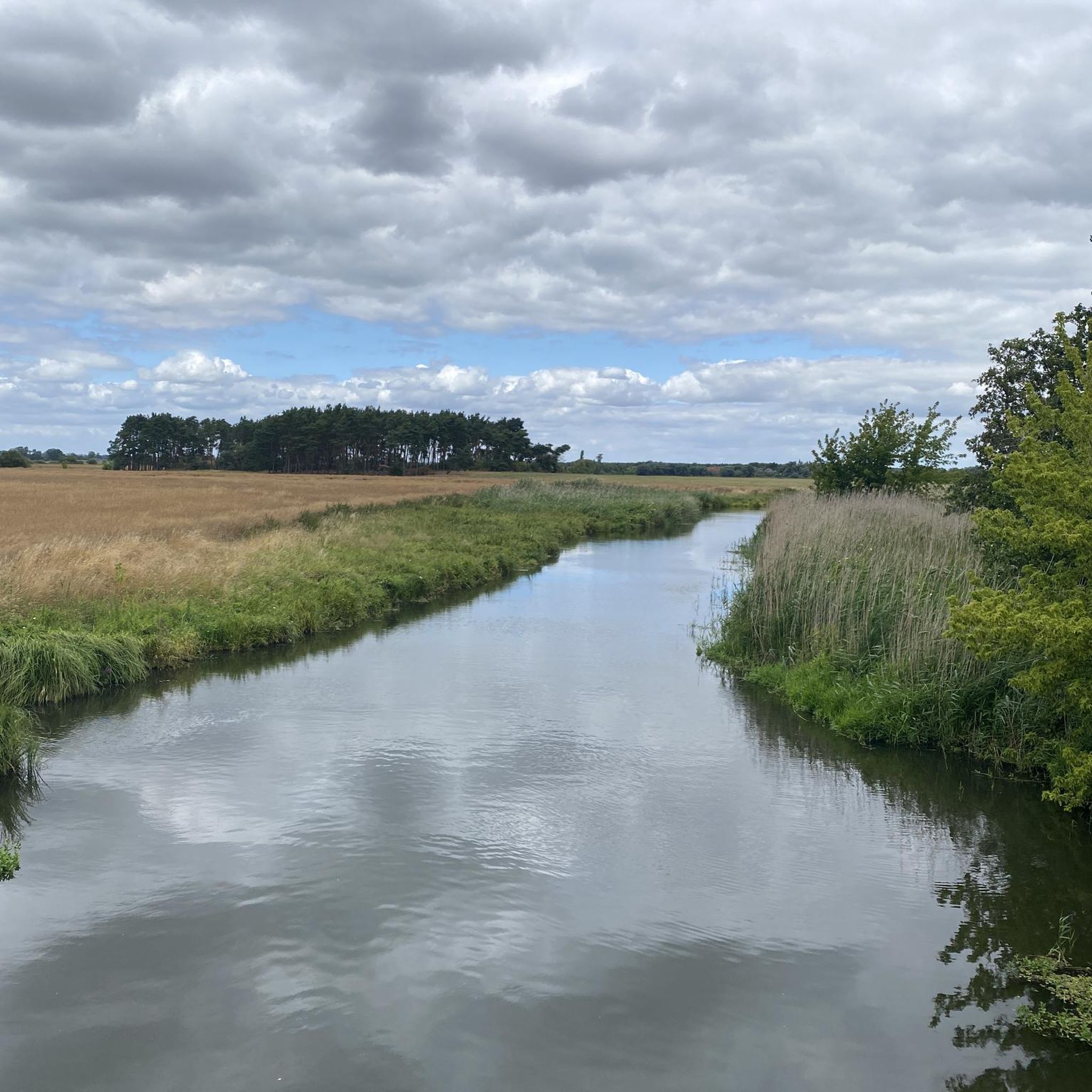
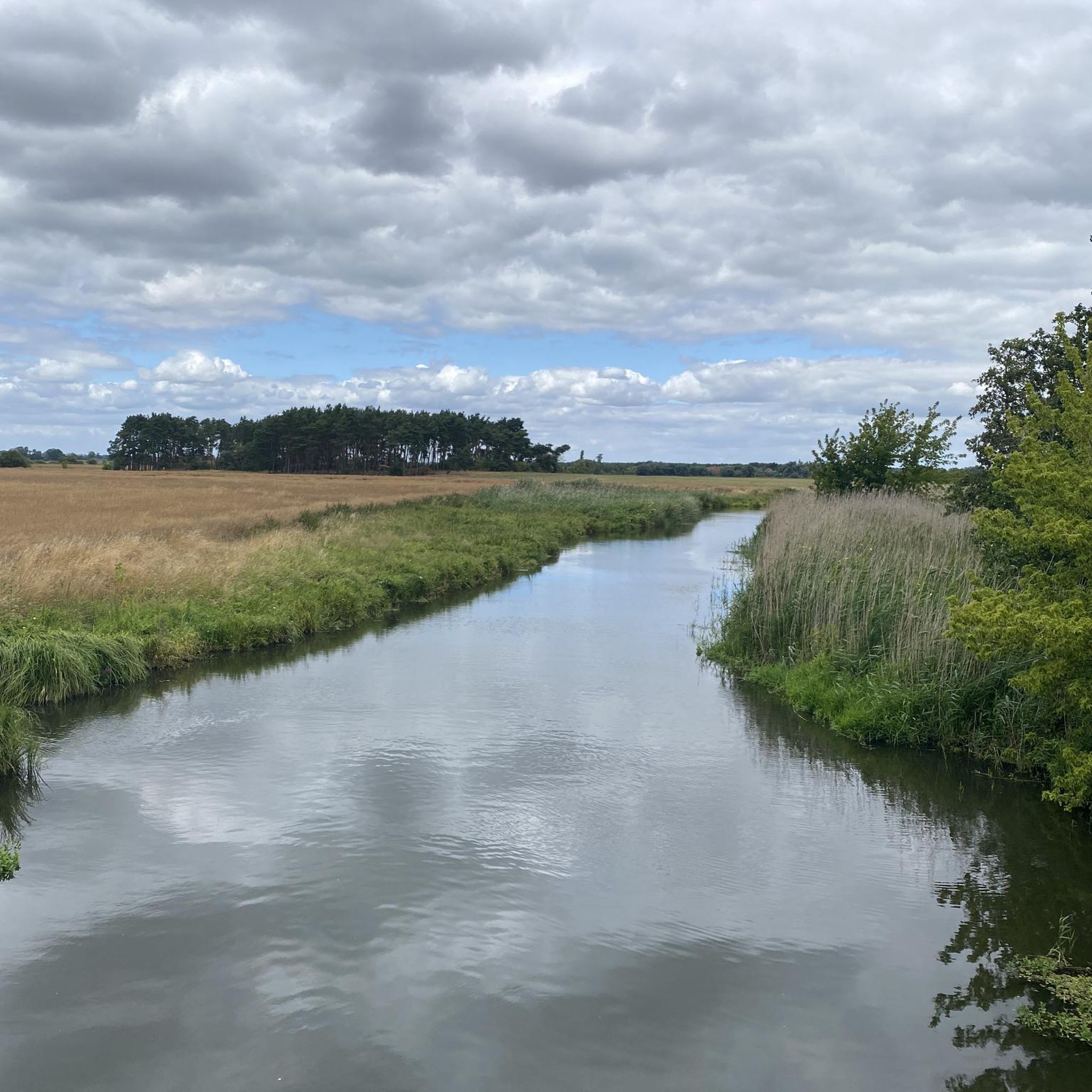
Road cycling routes around Kamern traverse a diverse landscape within Saxony-Anhalt, Germany, characterized by its flat to gently rolling terrain. The region is situated within the Lower Havel Landscape Protection Area, featuring extensive lowlands, forests, and numerous water bodies, including the Kamernsche See. Cyclists can expect routes that follow river valleys and pass through wooded areas, with minimal elevation changes. The Kamernsche Berge, though modest in height, offer elevated viewpoints over the surrounding Elbe and Havel lowlands.
Best road cycling…
Last updated: October 15, 2026
57
riders
Moderate road ride. Great for any fitness level. Some segments of this route may be unpaved and difficult to ride.
5.0
(9)
139
riders
71.6km
03:12
110m
110m
Moderate road ride. Good fitness required. Some segments of this route may be unpaved and difficult to ride.

5.0
(5)
34
riders
47.1km
01:53
80m
80m
Easy road ride. Great for any fitness level. Mostly well-paved surfaces and easy to ride.
5.0
(2)
43
riders
62.4km
02:36
210m
210m
Moderate road ride. Good fitness required. Some segments of this route may be unpaved and difficult to ride.
5.0
(5)
22
riders
35.1km
01:21
50m
50m
Easy road ride. Great for any fitness level. Mostly well-paved surfaces and easy to ride.
Get access to more routes and recommendations from other explorers.
Already have an account?
Our route recommendations are based on thousands of hikes, rides, and runs completed by other people on komoot.
Start today with a free account
Your next adventure awaits.
Tips from the Community

The bike path is preferable, mainly due to the traffic from the road. The asphalt is completely rideable with the RR.
0
0

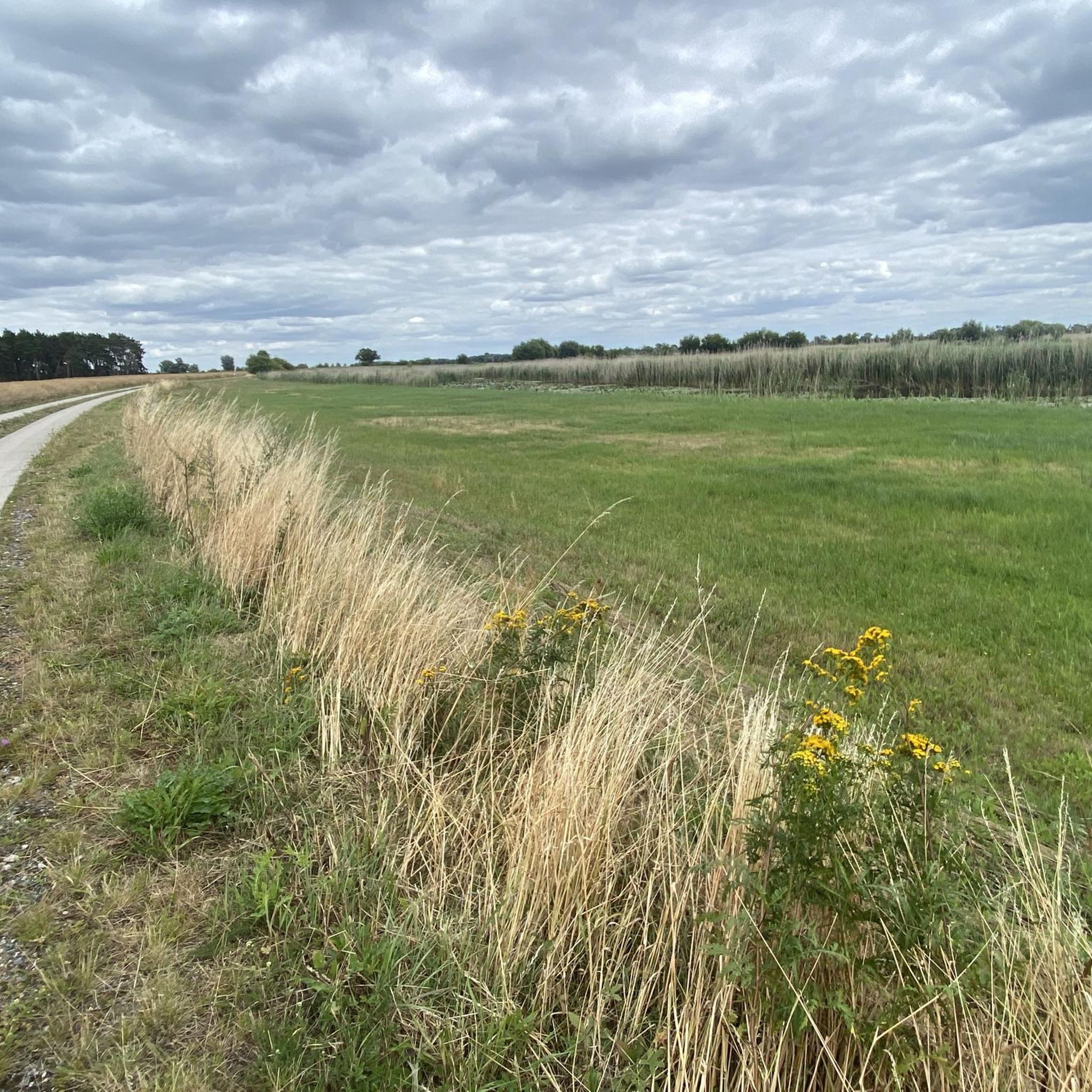
The Havel Cycle Path is very easy to ride. For lovers of nature and tranquility, it's like paradise.
0
0

The Indotafel sign is definitely worth reading and then unfortunately you continue with a queasy feeling.
0
0
Pure nature, very attractive clearings and good surface
2
0
Absolutely iconic, and as a solo piece, slightly elevated, it can be seen from afar. Located directly on the Havel Cycle Path.
2
0
Quiet route, rolls well through open fields, but susceptible to wind.
2
0
The cycle path alongside the road rolls well, no root damage and, in my opinion, preferable to the road when there is traffic.
2
0
Truly impressive as you approach Wittenberge. The bridge has a truly monumental quality, yet blends well into the landscape. It has recently been reopened to cyclists.
2
0
Frequently Asked Questions
What kind of terrain can I expect on road cycling routes around Kamern?
Road cycling routes around Kamern primarily feature flat to gently rolling terrain. The region is situated within the Lower Havel Landscape Protection Area, characterized by extensive lowlands and river valleys. While most routes offer minimal elevation changes, the Kamernsche Berge provide some gentle hills and elevated viewpoints.
Are there routes suitable for beginners or those looking for an easy ride?
Yes, Kamern offers several easy road cycling routes. For instance, the View of Havelberg – Havel Cycle Path loop from Molkenberg is an easy 29.3-mile (47.2 km) trail that leads through the scenic Havel river valley. Another easy option is the View of Havelberg – Havel Cycle Path loop from Havelberg, covering 35.1 miles (56.5 km) with minimal elevation.
What natural features or landmarks can I see while cycling in Kamern?
Kamern's road cycling routes offer views of diverse natural landscapes. You can cycle along the tranquil Kamernsche See, explore the expansive Lower Havel Landscape Protection Area, and enjoy vistas from the gentle Kamernsche Berge. Notable attractions include the Gülper See, a significant lake in the region, and the Bird Observation Tower at Gülper See, offering opportunities for wildlife spotting.
Are there any circular road cycling routes in the Kamern area?
Many road cycling routes around Kamern are designed as loops, allowing you to start and end in the same location. An example is the View of Havelberg – Restaurant Fontana, Havelberg loop from Sanssouci, a moderate 17.8-mile (28.6 km) route offering views towards Havelberg and the river landscape.
What do other cyclists say about road cycling in Kamern?
The road cycling routes in Kamern are highly rated by the komoot community, with an average score of 4.9 stars from over 20 reviews. Cyclists often praise the tranquil natural surroundings, the well-developed infrastructure, and the varied backdrop of lakes, forests, and gentle hills that make for an enjoyable ride.
Can I find longer road cycling routes for more endurance-focused rides?
Yes, there are longer routes available for those seeking more distance. The Rehberg Village Church – Grütz Bivouac Site on the Havel loop from Kamern is a moderate 37.3-mile (59.9 km) route that explores the wider area, including the Havel river.
Are there any specific viewpoints along the road cycling routes?
The Kamernsche Berge offer elevated viewpoints over the surrounding region. From the highest point, Frau Harkenberg (109 meters), you can enjoy expansive views to the west over the Elbe lowlands, including towns like Arneburg and Tangermünde, and to the east over the Havel lowlands.
What is the best time of year for road cycling in Kamern?
Kamern is an excellent destination for outdoor activities, including road cycling, throughout the warmer months. Spring and early autumn offer pleasant temperatures and beautiful scenery, while summer provides ideal conditions for combining cycling with water activities on Kamernsche See.
Are there any routes that follow river valleys?
Many routes in Kamern are characterized by their proximity to water bodies and river valleys. The View of Havelberg – Neuwerben Weir loop from Havelberg, for example, is a moderate 32.0-mile (51.5 km) path that explores the Havel river area, passing by the Neuwerben Weir.
What kind of natural environment will I experience on these routes?
You will experience a diverse natural environment, including the clear waters of Kamernsche See, the extensive lowlands and water bodies of the Lower Havel Landscape Protection Area, and the serene pine and oak forests that surround Kamern. The region is known for its rich biodiversity and tranquil atmosphere.
Are there any facilities or places to rest along the routes?
While specific cafes or pubs are not detailed for every route, Kamern is a state-recognized recreation area with a well-developed infrastructure. You can expect to find amenities in and around the villages. The Grütz Bivouac Site on the Havel is a notable facility near some routes, and there are bathing areas at Kamernsche See.
Most popular attractions around Kamern

Get inspired with the komoot mobile app


Explore more
Browse the best Road cycling routes in other regions.
