The best mountain hikes around Arakil
39
hikers
4
hikes
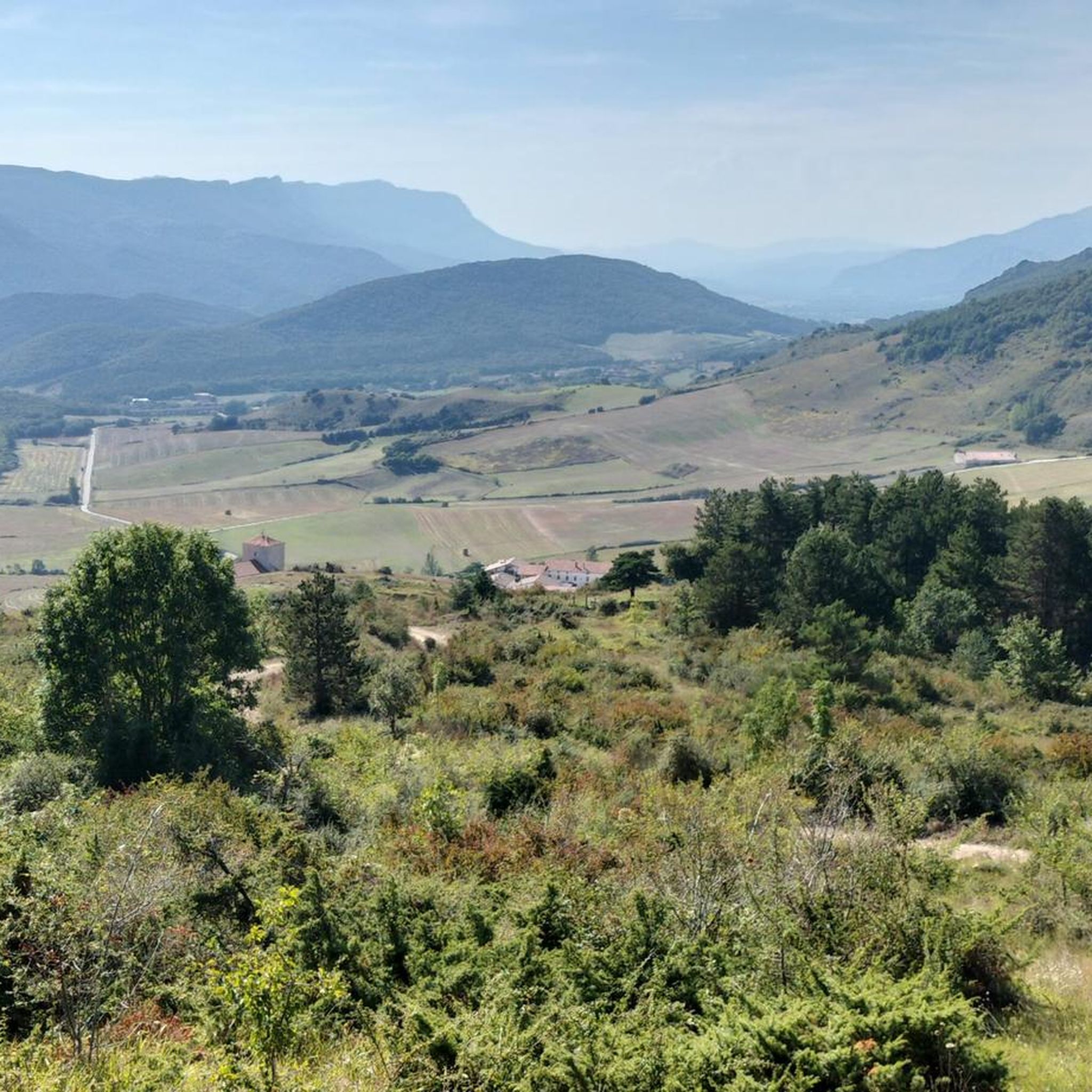
Mountaineering routes around Arakil are situated within the Basque Mountains, bordering the Aralar Range in Navarre, Spain. This region is characterized by its mountainous terrain, featuring impressive limestone massifs and prominent peaks. The landscape includes dense woodlands, such as beech and oak forests, alongside extensive upland pastures and numerous rivers and streams. These natural features provide a diverse and challenging environment for mountaineering.
Best mountaineering routes around Arakil
- The most popular mountaineering route is Beriain loop from Uharte Arakil,…
Last updated: October 15, 2026
16
hikers
11.8km
05:49
970m
970m
Hard mountaineering route. Very good fitness required. Sure-footedness, sturdy shoes and alpine experience required.
16
hikers
9.87km
04:57
810m
810m
Hard mountaineering route. Good fitness required. Sure-footedness, sturdy shoes and alpine experience required.

5
hikers
21.4km
07:35
880m
880m
Hard mountaineering route. Very good fitness required. Sure-footedness, sturdy shoes and alpine experience required.
2
hikers
17.3km
07:38
1,160m
1,160m
Hard mountaineering route. Very good fitness required. Sure-footedness, sturdy shoes and alpine experience required.
Our route recommendations are based on thousands of hikes, rides, and runs completed by other people on komoot.
Start today with a free account
Your next adventure awaits.
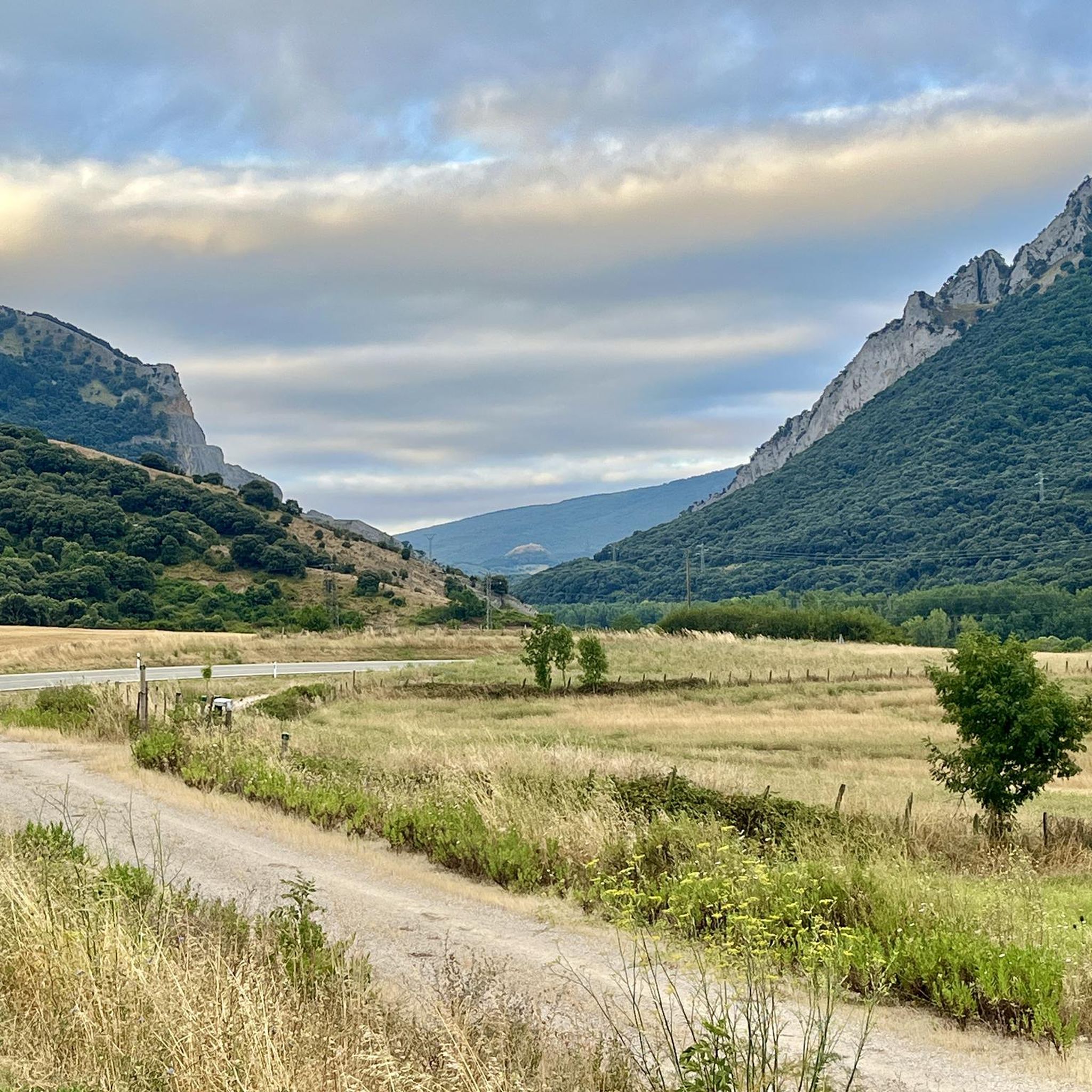
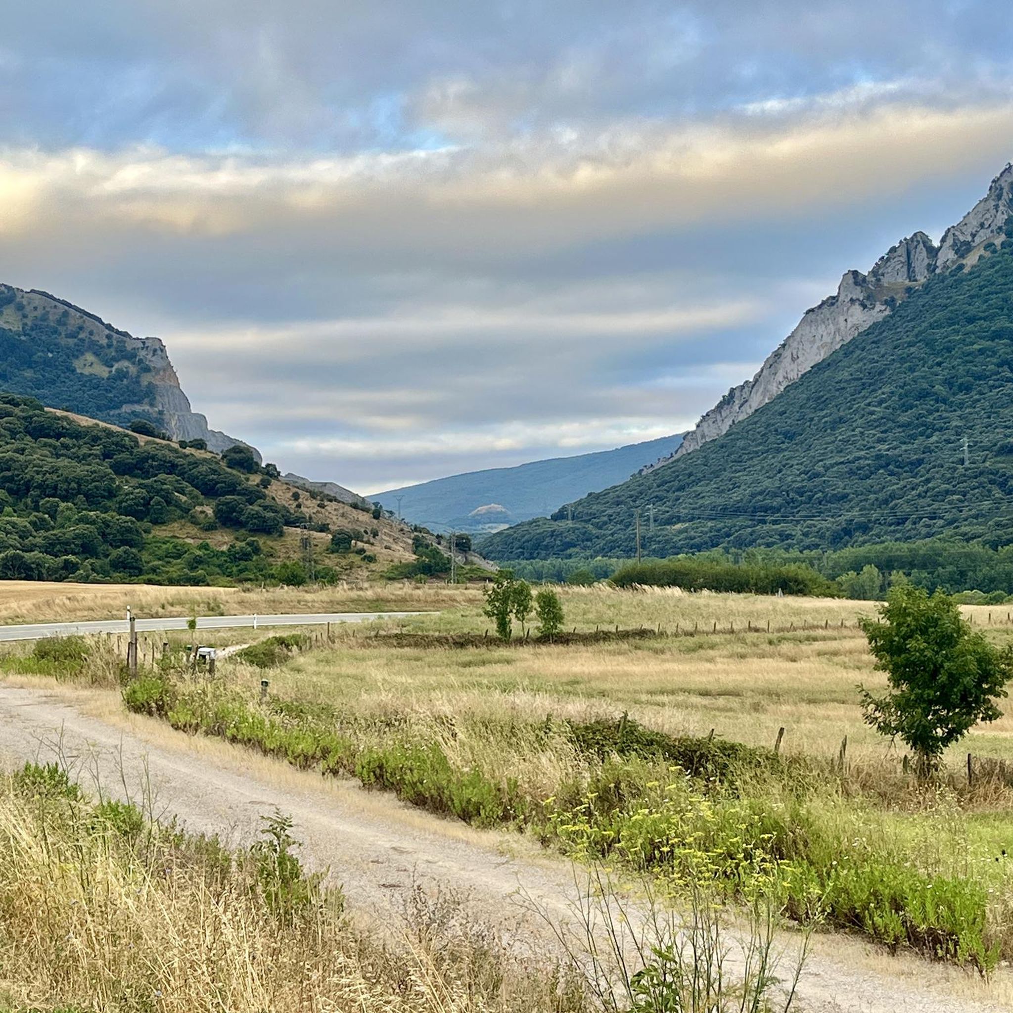
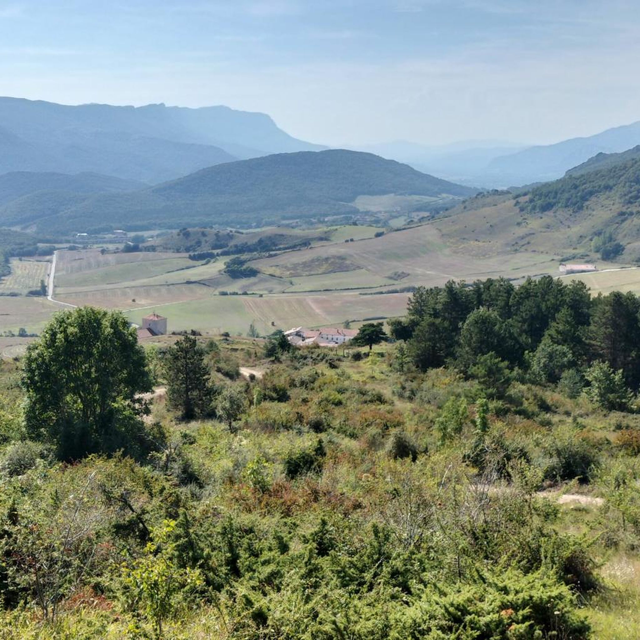
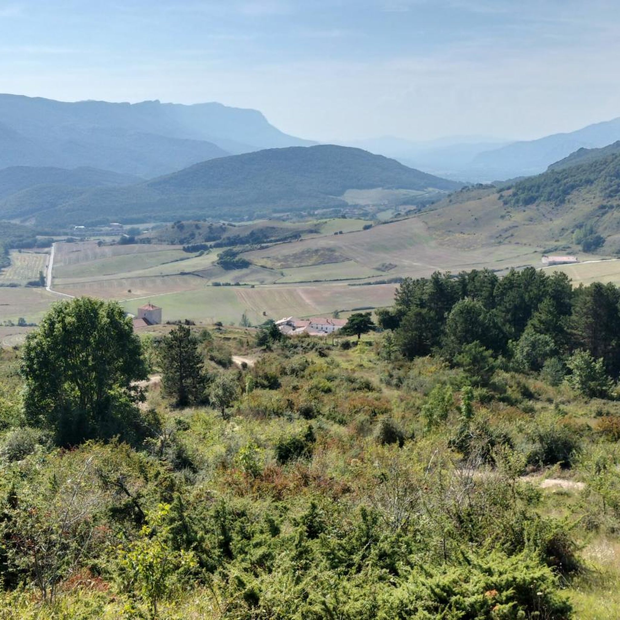

Tips from the Community

The climb from Arbizu shows different perspectives of the sierra, climbing the hard ascent by bike is worth stopping from time to time to enjoy it.
0
0
Always spectacular the view, very changing as you go around.
0
0

From one of the access parking lots.
1
0
Right next to the famous San Donato hermitage.
1
0

The route connects again with the PR-NA 201 at the milestone where the Vertical Kilometer appears on the right, continuing straight through the panoramic mountain meadow to the popular hermitage of San Donato. Part of the sanctuary is converted into a mountain refuge and is delicious when there is a blizzard or bad weather, as was the case the day we did the route. The geodesic vertex of Beriain is next door, on the rocky tip of a cliff that concentrates the kingdom of abysses and cliffs that float above the towns of the Sakana.
1
0
The best reward for the hard climb.
5
0

From here you have an impressive view from the lower part of Beriain, climb recommended.
2
0
Impressive views, it is recommended to go on a clear day
1
0
Frequently Asked Questions
What is the best time of year for mountaineering in Arakil?
Arakil offers distinct experiences depending on the season. While the Aralar Range can be rugged and white in winter, it transforms into a fresh and green landscape in summer. For most mountaineering, the warmer months from late spring to early autumn generally provide more stable weather and accessible trails. However, experienced winter mountaineers will find challenging conditions during colder months.
Are there any easy mountaineering routes in Arakil for beginners?
The mountaineering routes highlighted in this guide are generally considered difficult, requiring good fitness, sure-footedness, sturdy shoes, and alpine experience. For example, the Beriain loop from Uharte Arakil involves a significant elevation gain of over 970 meters. If you are new to mountaineering, it's advisable to gain experience on less demanding trails before tackling these routes.
What kind of landscapes can I expect to see on Arakil's mountaineering routes?
Arakil's routes traverse a diverse landscape within the Basque Mountains. You'll encounter impressive limestone massifs, dense woodlands primarily composed of beech and oak forests, and expansive upland pastures. Rivers and streams crisscross the terrain, adding to the natural beauty. The region borders the Aralar Range, offering rugged and scenic backdrops.
Are there any circular mountaineering routes in Arakil?
Yes, several routes in Arakil are circular, allowing you to start and end in the same location. Popular options include the challenging Beriain loop from Uharte Arakil, which covers 11.7 km, and the Sierra de San Donato loop from Ergoiena, a 9.9 km path offering views of the Sierra de San Donato.
What are some notable viewpoints or natural attractions along the routes?
The region is rich in natural beauty. While on your mountaineering routes, you might be near features like the Portupekoleze Arch or the stunning Artazul Waterfall. The routes themselves offer panoramic views of the surrounding mountainous terrain, including the Aralar Range and peaks like Txindoki and Irumugarrieta.
How long do the mountaineering routes in Arakil typically take to complete?
The duration of routes varies based on their length and difficulty. For instance, the Beriain loop from Uharte Arakil is estimated to take around 5 hours and 48 minutes, while the longer Sierra de San Donato loop from Uharte Arakil can take approximately 7 hours and 34 minutes. These are estimates for experienced mountaineers.
Are there any cultural or historical sites near the mountaineering trails?
Yes, the area boasts a rich cultural heritage. Within the Aralar Range, you can find numerous megalithic monuments such as dolmens and cromlechs. A significant spiritual landmark is the San Miguel de Aralar Sanctuary, which is a notable site in the landscape. You might also encounter the Aixita Castle Ruins or the Ermita de San Donato.
What wildlife might I encounter while mountaineering in Arakil?
The diverse ecosystems of Arakil are home to a variety of wildlife. You might spot wild horses, Latxa sheep, cattle, wild boar, foxes, and deer. Birdwatchers can look out for Egyptian vultures, small eagles, black vultures, golden eagles, griffin vultures, and even lammergeyers soaring overhead. European minks and Pyrenean desmans inhabit the streams and rivers.
Are there any waterfalls to see in the Arakil region?
Yes, the Arakil region features beautiful waterfalls. Two notable ones are the Artazul Waterfall and the Ixkier Waterfall. These natural monuments add to the scenic beauty of the area and can be a rewarding sight during your outdoor adventures.
What do other mountaineers say about the routes in Arakil?
The mountaineering routes in Arakil are highly regarded by the komoot community, with over 39 mountaineers having explored the varied terrain. Users often praise the challenging ascents and demanding trails that showcase the best of the region's impressive limestone massifs and diverse woodlands.
Is public transport available to reach the starting points of these routes?
While the guide focuses on the routes themselves, Arakil is situated in a mountainous region. It's advisable to check local public transport options to towns like Uharte-Arakil or Ergoiena, which serve as common starting points for these mountaineering tours. Access to more remote trailheads might require private transport.
Are there any permits required for mountaineering in Arakil?
Generally, specific permits are not required for hiking and mountaineering on established trails in the Aralar Range or Arakil. However, it's always good practice to respect local regulations, especially within protected areas like Aralar Natural Park. If you plan any off-trail or technical climbing, it's best to consult local authorities or mountaineering clubs for any specific requirements.
Most popular attractions around Arakil

Get inspired with the komoot mobile app


Explore more
Browse the best Mountain Hikes & Routes in other regions.
