The best running trails around Cañada De Benatanduz
18
runners
5
runs
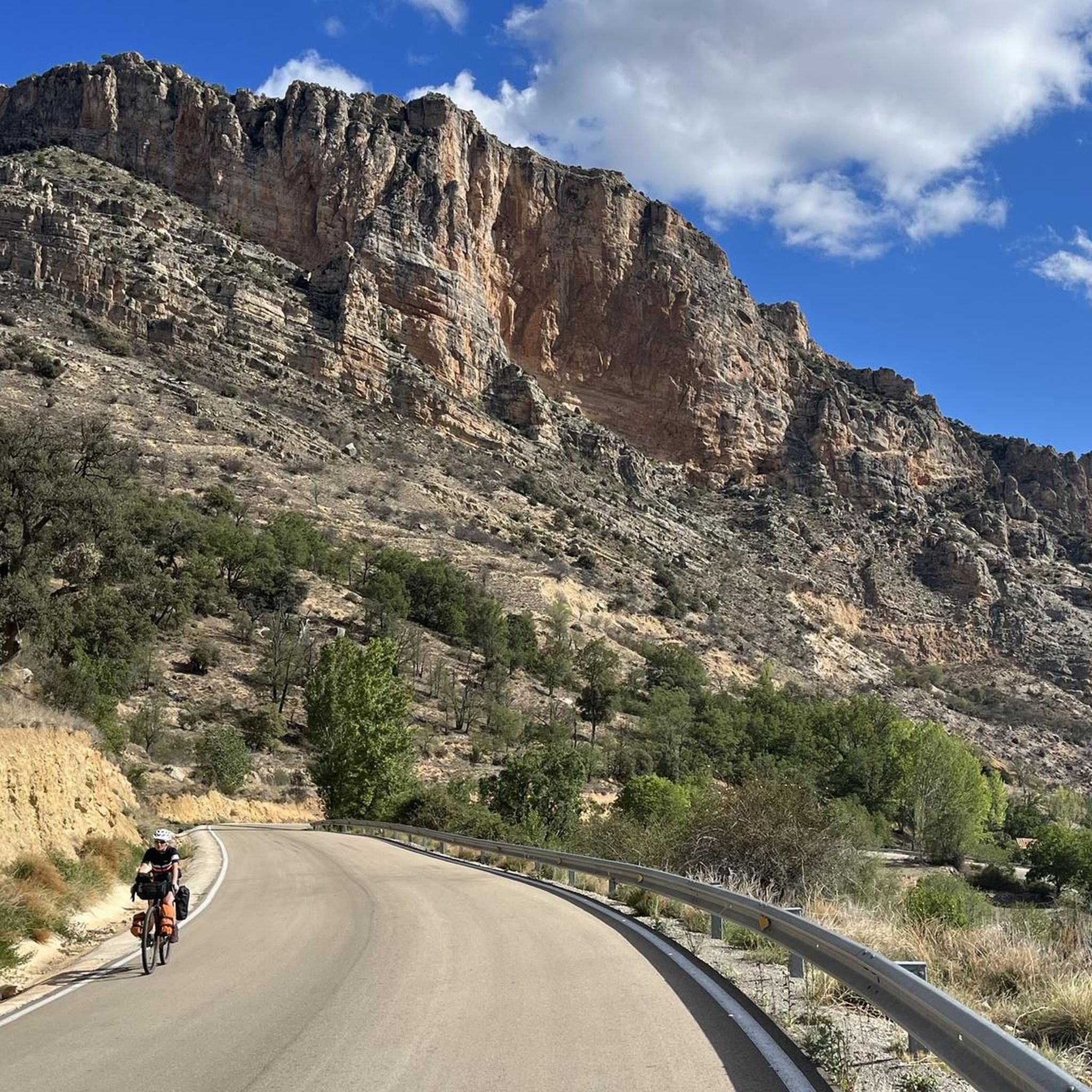
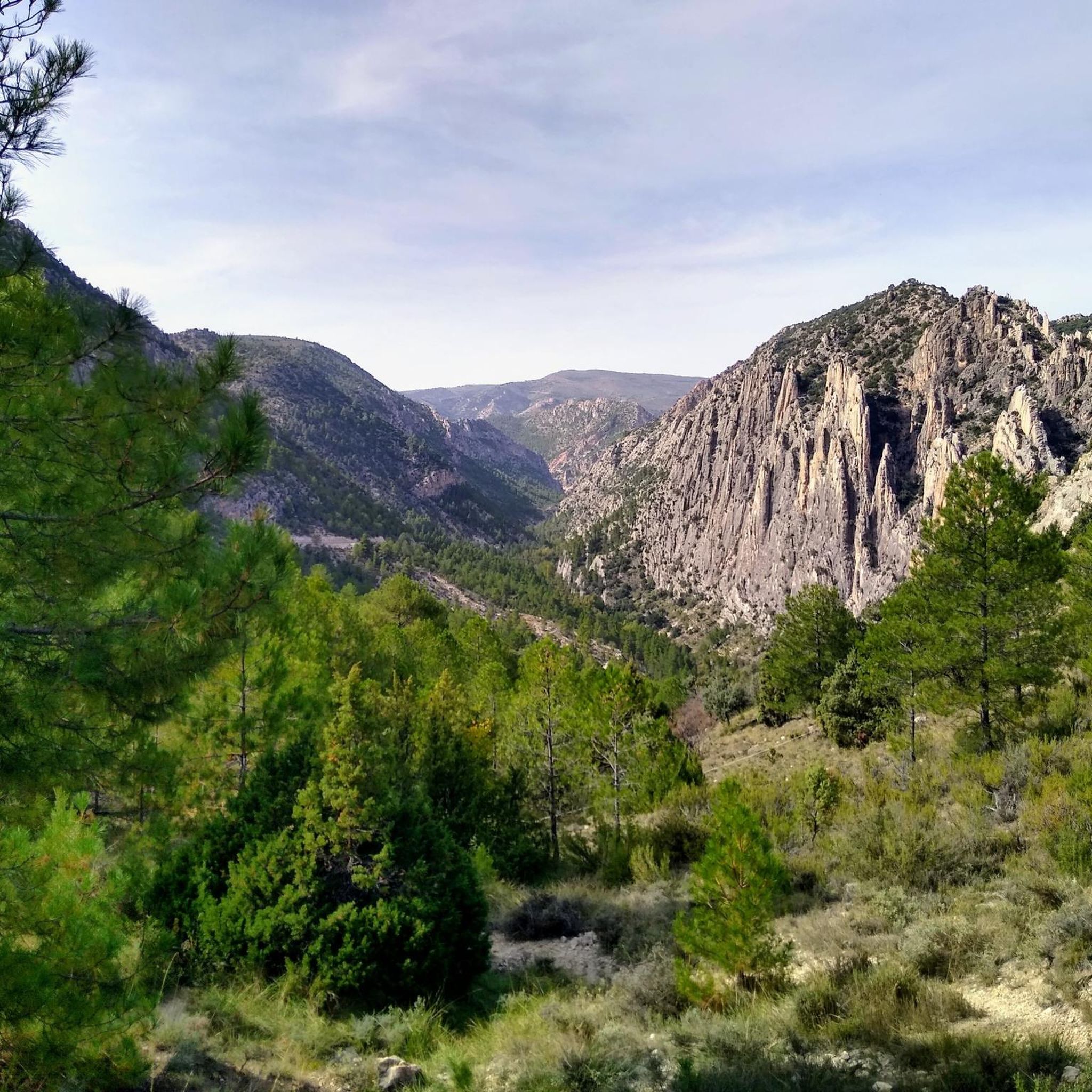
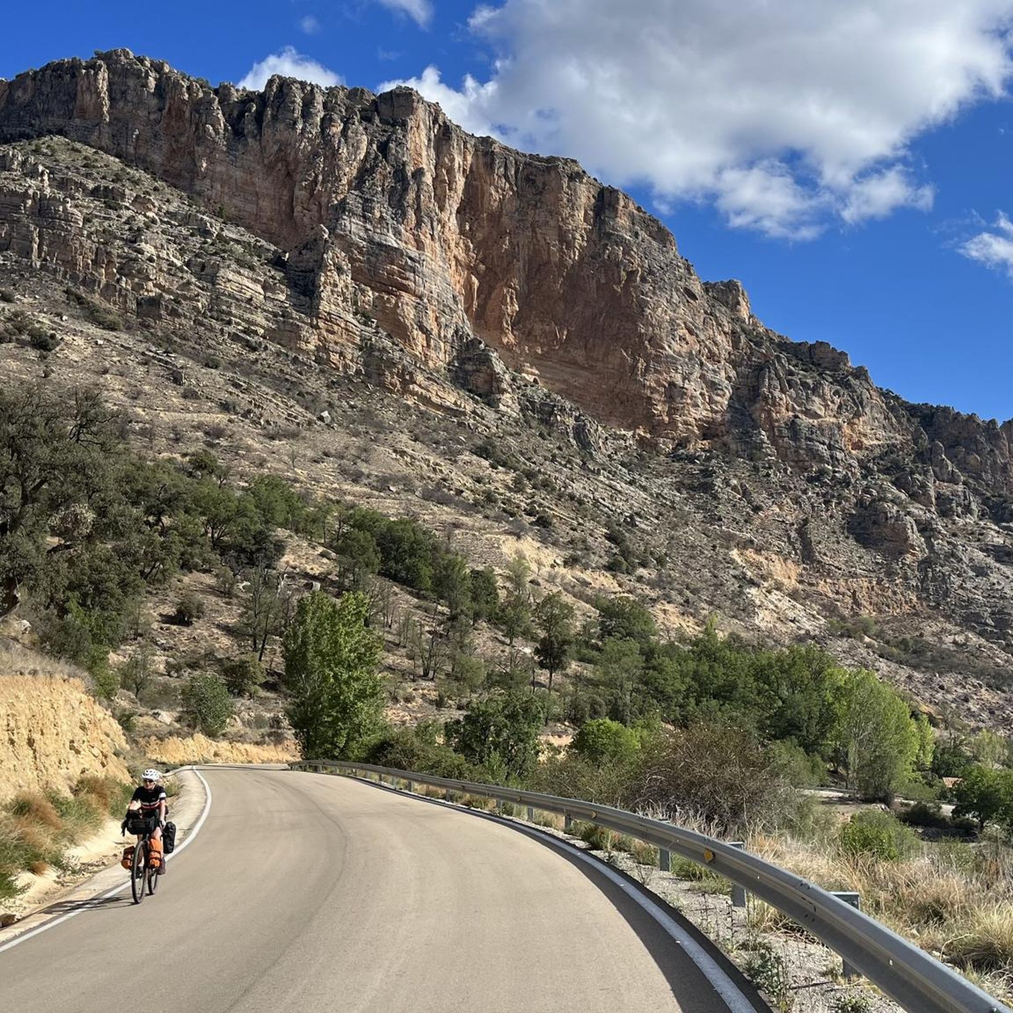
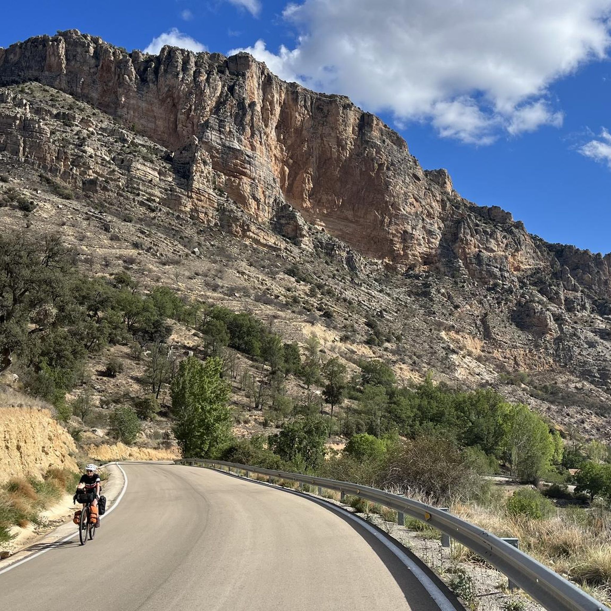
Jogging around Cañada De Benatanduz offers an opportunity to explore a natural environment characterized by diverse landscapes and elevated terrain. The region, part of the Maestrazgo in Teruel, Spain, features impressive scenery with abrupt cliffs, deep ravines, and high peaks. Situated at an elevation of 1,422 meters, the area includes dense pine forests and lush riverine forests, providing varied and scenic routes. The Cañada River flows through a deep canyon, contributing to the area's distinct fluviokarstic features.
Best jogging routes…
Last updated: July 12, 2026
4
runners
3.89km
00:33
160m
160m
Moderate run. Good fitness required. Mostly paved surfaces. Suitable for all skill levels.
4
runners
25.8km
03:55
1,360m
1,360m
Hard run. Very good fitness required. Mostly paved surfaces. Suitable for all skill levels.

Sign up for free
3
runners
8.25km
00:59
100m
100m
Moderate run. Good fitness required. Mostly paved surfaces. Suitable for all skill levels.
3
runners
21.1km
03:00
850m
850m
Hard run. Very good fitness required. Mostly paved surfaces. Suitable for all skill levels.
Our route recommendations are based on thousands of hikes, rides, and runs completed by other people on komoot.
Start today with a free account
Your next adventure awaits.
Login or Signup
Tips from the Community


It's NOT easy. The climb and subsequent descent to the Valloré viewpoint is quite mountainous, meaning it's steep both uphill and downhill, requiring firm footing and little to no fear of vertigo. Both uphill and downhill, there are exposed sections, with safety cables and metal handholds and steps anchored in the rock. For most, following the trail that climbs the Guadalope River via the footbridges of the Valloré Straits will more than meet their expectations.
1
0

The best thing to do here is to catch your breath after the climb and rest with some wonderful views.
6
0
The Guadalope River Walkways are a series of trails and walkways that allow visitors to explore the stunning landscape of the Guadalope River in the province of Teruel.
6
0

We also find numerous interesting buildings scattered throughout the rest of the municipality. For example, the castle of El Cid (11th-12th century), the fortified farm of La Torre. Also several hermitages such as those of Loreto (1648), Santa Bárbara (1715), San Cristóbal (around 1500) and Buen Suceso, in short, definitely worth a visit.
1
0
Fortanete offers incredible views and is surrounded by two rugged mountain ranges: the Sierra de la Cañada and the Tarrascón-Las Las Lastras mountain ranges. The natural environment is mainly dominated by high, cool pastures and especially by the extensive and well-preserved winter pine forests.
1
0
Cantavieja is a captivating destination that promises a unique combination of history, nature and culture in the heart of the province of Teruel.
10
0

Cantavieja is another wonderful town belonging to the Teruel Maestrazgo that will encourage us to get lost in its ancient and beautiful streets and corners until we reach the town's castle. Without a doubt, the town of Cantavieja deserves to be listed among the 100 most beautiful towns in Spain.
2
0
Frequently Asked Questions
How many running routes are available in Cañada De Benatanduz?
There are several running routes around Cañada De Benatanduz. Our guide features 3 distinct routes, offering a variety of distances and difficulty levels for joggers to explore the region's unique landscapes.
What kind of terrain can I expect on the jogging trails in Cañada De Benatanduz?
The terrain in Cañada De Benatanduz is quite varied and often challenging. You'll encounter impressive scenery with abrupt cliffs, deep ravines, and high peaks. Routes often traverse dense pine and lush riverine forests, with some sections along the Cañada River canyon. Expect elevated mountain paths and fluviokarstic features, providing a dynamic running experience.
Are there any easy running routes suitable for beginners in Cañada De Benatanduz?
While many routes in the area are moderate to difficult, the Valloré Viewpoint Loop Trail is a good option for those looking for a less strenuous run. It's a moderate 2.4-mile (3.9 km) path that offers scenic views without extreme elevation changes, taking about 33 minutes to complete.
Where can I find longer running trails for a more challenging workout?
For a more challenging and longer run, consider the Montoro de Mezquita – Puerto de Villarluengo loop from Villarluengo. This difficult trail spans 15.9 miles (25.7 km) through mountainous terrain and typically takes nearly 4 hours to complete. Another option is the longer Fortanete Village loop from Fortanete, a difficult 12.9 km route.
Are there any circular running routes in Cañada De Benatanduz?
Yes, several routes in the area are circular, allowing you to start and end in the same location. Examples include the Valloré Viewpoint Loop Trail and the Fortanete Village loop from Fortanete, which are popular choices among local runners.
What natural attractions or viewpoints can I see along the running routes?
The region is rich in natural beauty. Along the trails, you might encounter impressive rock formations, deep canyons, and panoramic viewpoints. Notable highlights include the Los Órganos de Montoro Pass, the View of Los Órganos de Montoro, and various Vertical Rock Ridges. The Cañada River itself flows through a beautiful deep canyon.
Is Cañada De Benatanduz a good place for wildlife spotting while running?
Absolutely. Cañada De Benatanduz is part of a Special Protection Area for Birds (ZEPA Río Guadalope-Maestrazgo), making it excellent for ornithology enthusiasts. You might spot rupicolous birds of prey like golden eagles, Egyptian vultures, Bonelli's eagles, and peregrine falcons. Mountain goats are also common in the area, adding to the rich biodiversity you can observe during your run.
What is the best time of year to go jogging in Cañada De Benatanduz?
The landscape of Cañada De Benatanduz transforms with the seasons. Spring and summer offer vibrant green scenery and generally pleasant temperatures for running. However, due to its high elevation (1,422 meters), the area can experience cooler temperatures and even snow in winter, providing a different, often picturesque, experience for those prepared for colder conditions.
Are there any routes that follow riverbeds or offer views of the Cañada River?
Yes, the Cañada River is a prominent feature of the landscape. The river flows through a deep canyon surrounding the village, and many trails, including circular routes, follow its margins. These sections offer scenic views of the fluviokarstic canyons and lush riverine forests.
What do other runners enjoy most about jogging in Cañada De Benatanduz?
Runners frequently praise the stunning and varied mountain landscapes, deep canyons, and dense forests. The quiet, natural environment and rich biodiversity provide a picturesque and engaging backdrop for those seeking both a physical challenge and immersion in nature. The existing network of trails, including sections of the long-distance GR-8 path, is also highly appreciated.
Most popular routes around Cañada De Benatanduz
Most popular attractions around Cañada De Benatanduz

Get inspired with the komoot mobile app


Explore more
Browse the best Running Trails & Routes in other regions.
