The best walks and hikes around Albalate Del Arzobispo
4.6
(17)
92
hikers
10
hikes
Hiking around Albalate Del Arzobispo offers diverse landscapes shaped by the Martín River Valley, which carves a distinctive path through the region. The area is situated at the foot of the Sierra de Arcos, providing a mountainous backdrop, and features unique steppe environments. Notable natural features include the dramatic Estrechos del Río Martín canyon with its vertical rocky walls and the Barranco de Valdoria, known for its varied terrain and "cascadas de piedra." This blend of riverine, mountainous, and canyon…
Last updated: October 15, 2026
2
hikers
12.7km
03:31
230m
230m
Moderate hike. Good fitness required. Easily-accessible paths. Suitable for all skill levels.
5.0
(1)
26
hikers
Moderate hike. Good fitness required. Easily-accessible paths. Suitable for all skill levels.

5.0
(2)
20
hikers
Moderate hike. Good fitness required. Easily-accessible paths. Suitable for all skill levels.
5.0
(1)
10
hikers
4.72km
01:33
220m
220m
Easy hike. Great for any fitness level. Easily-accessible paths. Suitable for all skill levels.
7
hikers
Easy hike. Great for any fitness level. Easily-accessible paths. Suitable for all skill levels.
Get access to more routes and recommendations from other explorers.
Already have an account?
Our route recommendations are based on thousands of hikes, rides, and runs completed by other people on komoot.
Start today with a free account
Your next adventure awaits.
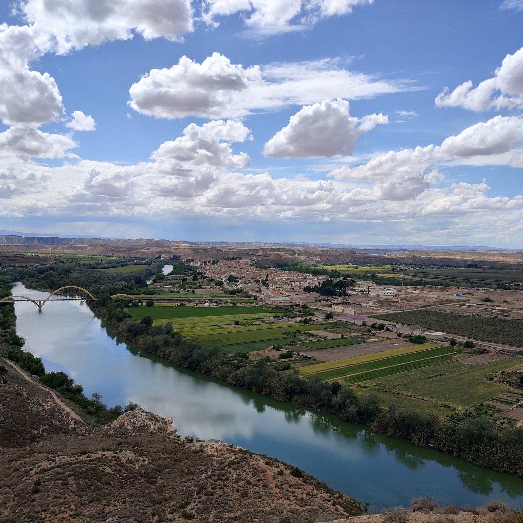
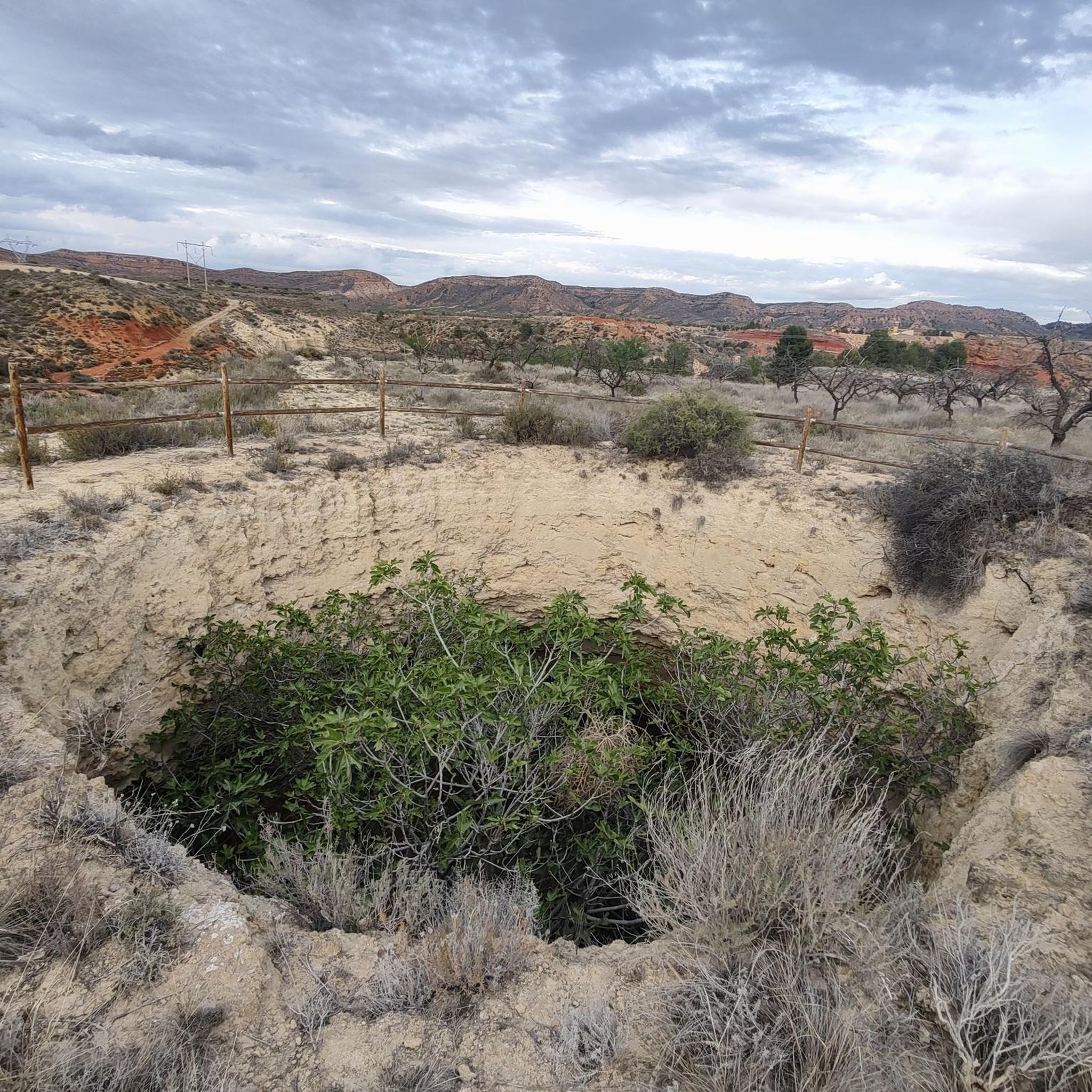
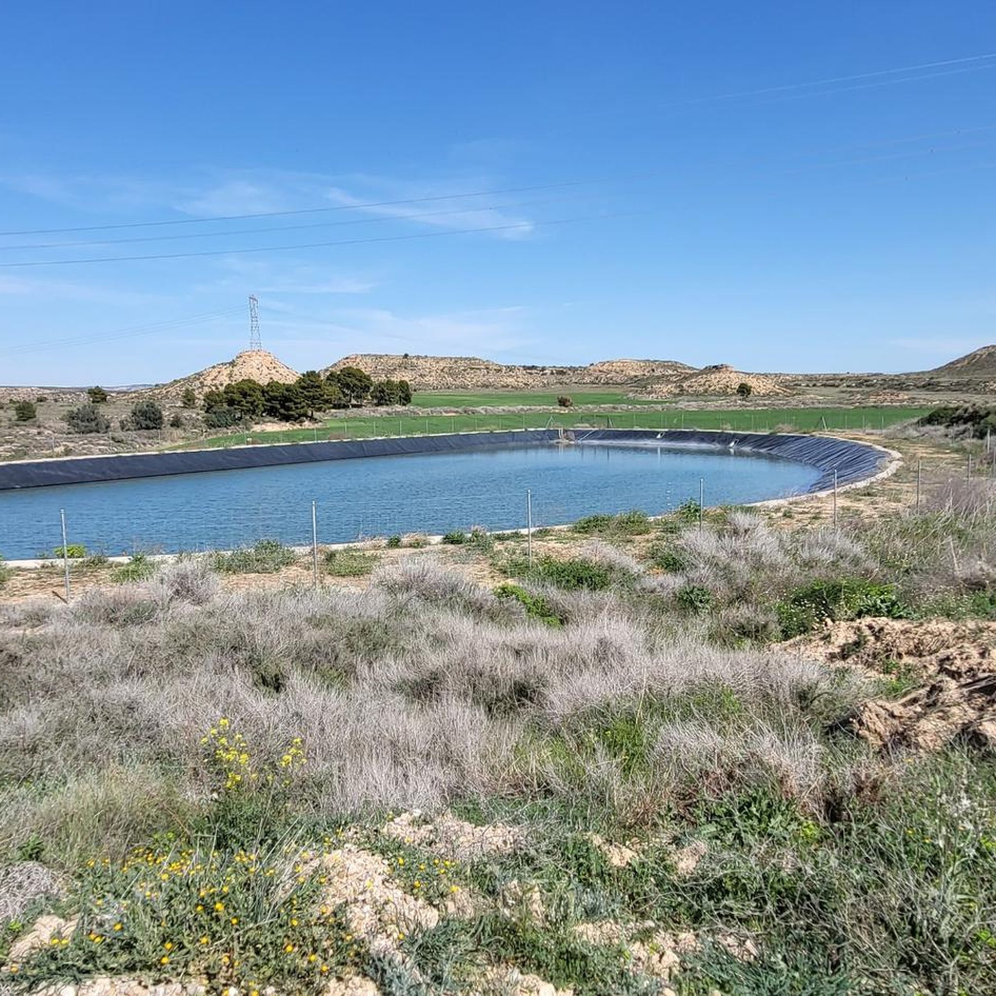
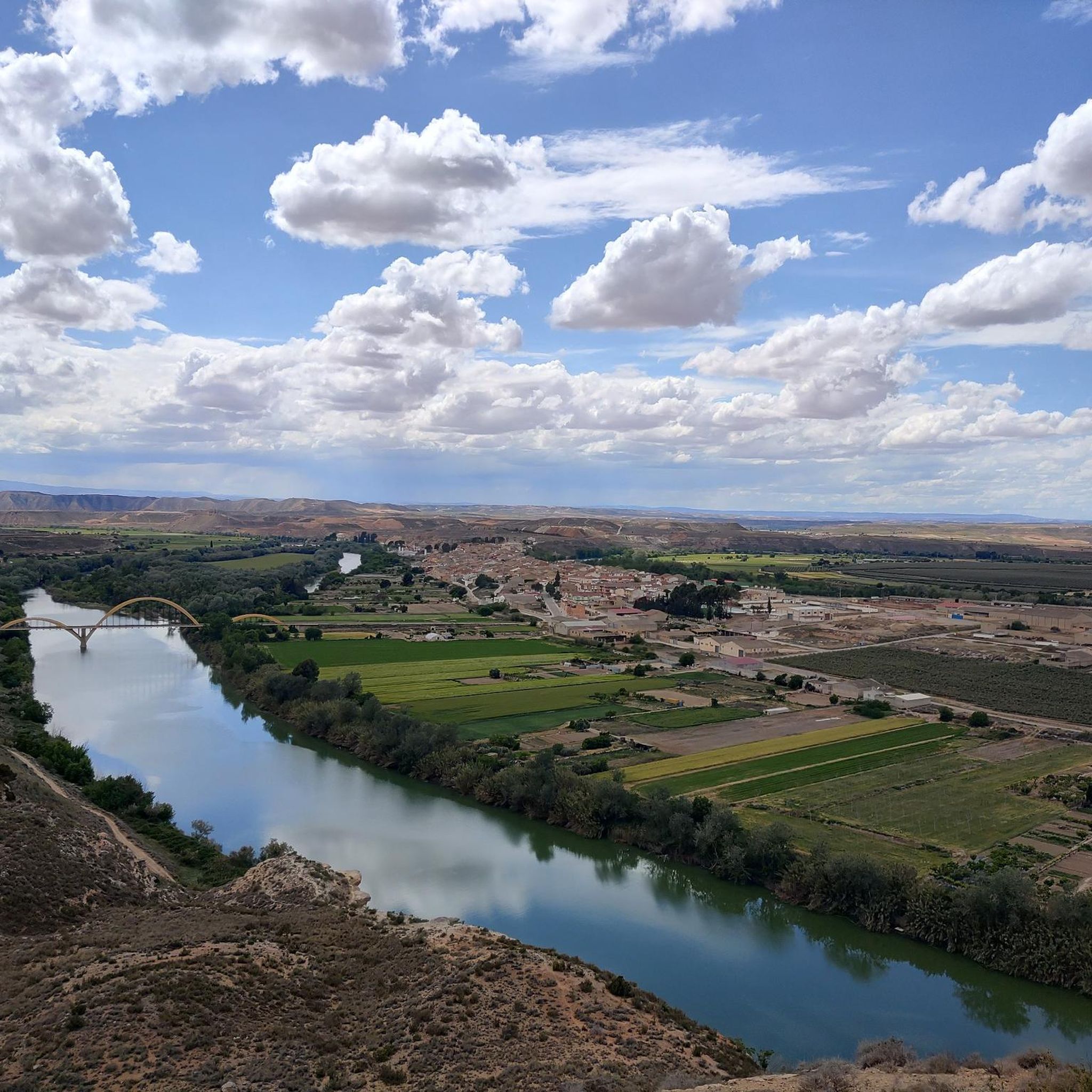

Tips from the Community

Its entire surroundings are masterful when you go close to its surroundings, once at the top it is spectacular
0
0
An easy via ferrata but starting by the dam causes respect, but it's fine in itself, and then the circular route is very pleasant.
0
0

Located in the Sierra de Arcos, the Silleta viewpoint offers wonderful views of the entire area that surrounds us. We will also find an explanatory panel of the place.
1
0

The Hermitage is located a few kilometers from the town of Ariño and since 1983 it has been a historical-artistic monument. Also popularly known as a monastery, the function in its beginnings was the exercise of political and religious power over the neighboring towns, sometimes even over an entire region. Today many are in ruins but can be visited to understand a little more how they functioned in a time very different from today.
2
1
Frequently Asked Questions
What types of landscapes can I expect to see while hiking in Albalate del Arzobispo?
Hiking in Albalate del Arzobispo offers a diverse range of landscapes. You'll encounter the distinctive Martín River Valley, unique steppe environments, and the mountainous backdrop of the Sierra de Arcos. A highlight is the dramatic Estrechos del Río Martín canyon, known for its striking vertical rocky walls and ancient rupestrian art. The Barranco de Valdoria also features abundant vegetation, water features, and intriguing 'cascadas de piedra' (stone waterfalls).
Are there any easy hiking trails suitable for beginners or families in Albalate del Arzobispo?
Yes, Albalate del Arzobispo offers several easy trails. For example, the Mirador de la Silleta loop from PR-TE 119 is an easy 4.7 km (2.9 miles) trail that takes about 1 hour 33 minutes to complete, leading to a scenic viewpoint. Another accessible option is the Cave of the Engravings – Los Chaparros Rock Shelter loop from Casas de los Bataneros, an easy 5.2 km (3.2 miles) route that can be completed in about 1 hour 28 minutes.
What cultural or historical landmarks can I discover along the hiking routes?
Many trails in Albalate del Arzobispo blend natural beauty with cultural heritage. Within the Estrechos del Río Martín, you can find spectacular shelters featuring ancient engravings and rupestrian paintings, such as those in Los Chaparros. The town itself is a declared Historic-Artistic Site, and you can explore the Albalate del Arzobispo Historic Center, including its Gothic-Renaissance church and the archiepiscopal palace castle. The Sanctuary of the Virgin of Arcos is another notable point of interest.
Are there any circular hiking routes available?
Yes, there are several circular routes. A popular option is the Cave of the Engravings – Los Chaparros Rock Shelter loop from Azud los Estrechos, which is a moderate 10.2 km (6.3 miles) trail. Another circular route is the Mirador de la Silleta loop from PR-TE 119, an easy 4.7 km (2.9 miles) path.
What is the best time of year to go hiking in Albalate del Arzobispo?
The best time for hiking in Albalate del Arzobispo is generally during the spring (April to June) and autumn (September to October) months. During these periods, the weather is typically mild and pleasant, making for comfortable hiking conditions. Summers can be quite hot, and winters, while generally mild, can bring cooler temperatures.
What do other hikers say about the trails in Albalate del Arzobispo?
The hiking routes in Albalate del Arzobispo are highly regarded by the komoot community, holding an average rating of 4.5 stars from over 10 reviews. Hikers often praise the varied terrain, the scenic beauty of the Martín River Valley and Estrechos del Río Martín, and the opportunity to discover ancient rupestrian art.
Are there any trails that feature water elements like waterfalls?
Yes, the Barranco de Valdoria is noted for its diverse landscapes, including abundant vegetation, water features, and intriguing 'cascadas de piedra' (stone waterfalls) formed by calcium carbonate deposits. While not traditional waterfalls, these unique geological formations offer a distinct water-related attraction for hikers.
How many hiking trails are there in Albalate del Arzobispo?
There are 9 hiking routes available in Albalate del Arzobispo, catering to various skill levels. These include 4 easy trails and 5 moderate trails, offering a good selection for different preferences.
Are there any long-distance hiking options in the area?
Yes, Albalate del Arzobispo is part of the GR-262 long-distance trail. One segment, the Hermitage Virgin Sierra de Arcos from Ariño (GR 262), is a moderate 12.7 km (7.9 miles) path that offers a mountainous backdrop and is a good option for those looking for a longer trek.
Where can I find more information about hiking in the wider Bajo Aragón region?
For more information about hiking routes and outdoor activities in the broader Bajo Aragón region, you can visit the official tourism website: visitbajoaragon.com.
What is the typical difficulty level of trails in Albalate del Arzobispo?
The trails in Albalate del Arzobispo primarily range from easy to moderate difficulty. There are 4 easy routes, perfect for a relaxed walk, and 5 moderate routes that offer a bit more challenge, often involving longer distances or some elevation gain. There are no difficult trails listed in this area.
Most popular routes around Albalate Del Arzobispo
Most popular attractions around Albalate Del Arzobispo

Get inspired with the komoot mobile app


Explore more
Browse the best Hikes in other regions.
