Lexington Reservoir County Park (Closed Area)
Lexington Reservoir County Park (Closed Area)
The best gravel rides in Lexington Reservoir County Park (Closed Area)
5.0
(2)
31
riders
5
rides
Gravel biking in Lexington Reservoir County Park (Closed Area) offers diverse terrain within the Santa Cruz Mountains foothills, characterized by oak woodland, chaparral, and grasslands. The area features varied elevation changes, with more uphill sections leading towards the central Lexington Reservoir. While a specific "closed area" west of Highway 17 is inaccessible, the wider park provides extensive gravel surfaces and connections to a broader trail network. The landscape includes geological points of interest like a section of the San Andreas…
Last updated: October 15, 2026
12
riders
51.5km
03:41
890m
890m
Hard gravel ride. Very good fitness required. Mostly paved surfaces. Suitable for all skill levels.
6
riders
25.9km
02:01
740m
740m
Hard gravel ride. Very good fitness required. Mostly paved surfaces. Suitable for all skill levels.

2
riders
53.1km
04:30
1,280m
1,280m
Hard gravel ride. Very good fitness required. Mostly paved surfaces. Suitable for all skill levels.
5.0
(2)
9
riders
Hard gravel ride. Very good fitness required. Mostly paved surfaces. Suitable for all skill levels.
2
riders
25.6km
02:08
800m
800m
Hard gravel ride. Very good fitness required. Mostly paved surfaces. Suitable for all skill levels.
Our route recommendations are based on thousands of hikes, rides, and runs completed by other people on komoot.
Start today with a free account
Your next adventure awaits.
Popular around Lexington Reservoir County Park (Closed Area)
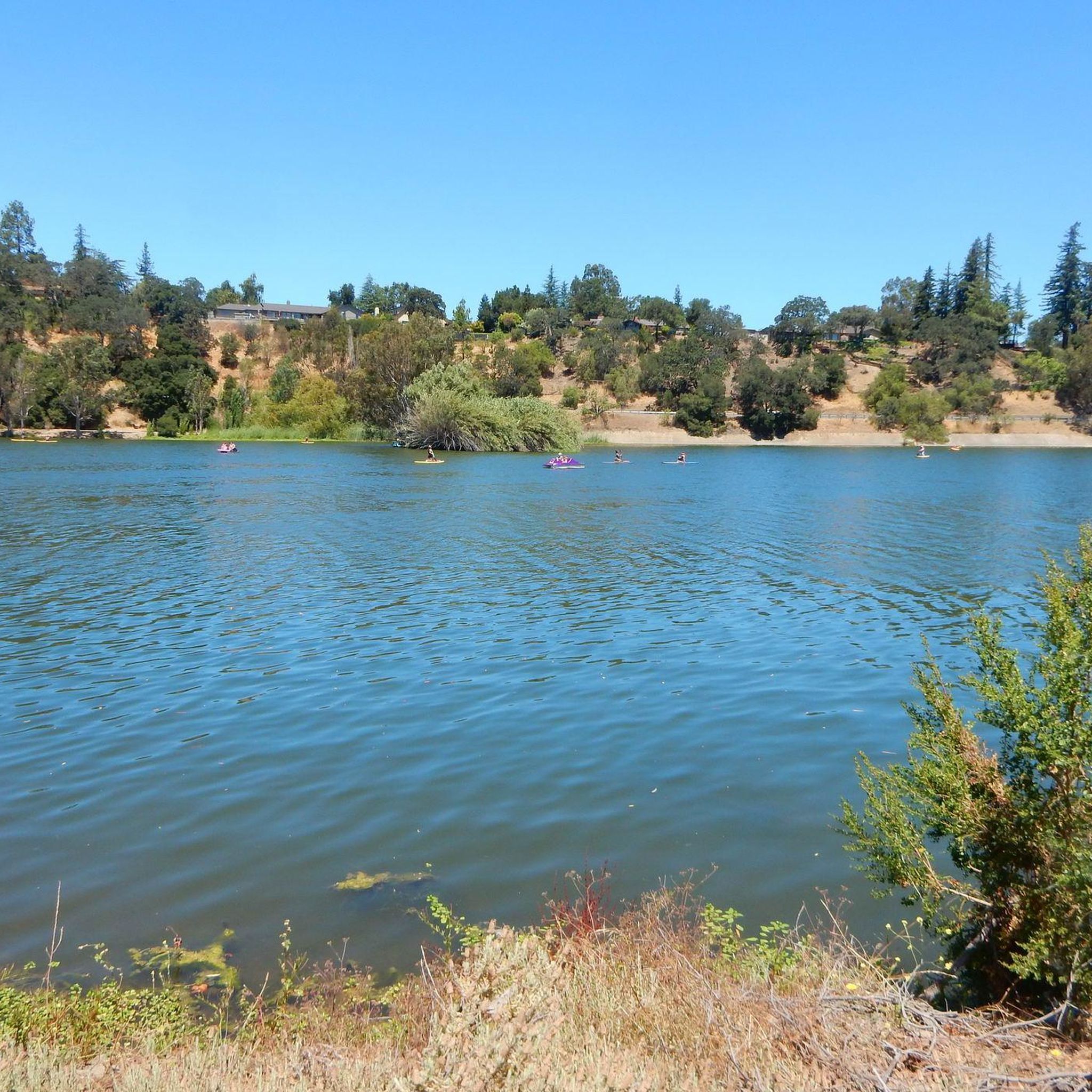
Running Trails in Lexington Reservoir County Park (Closed Area)
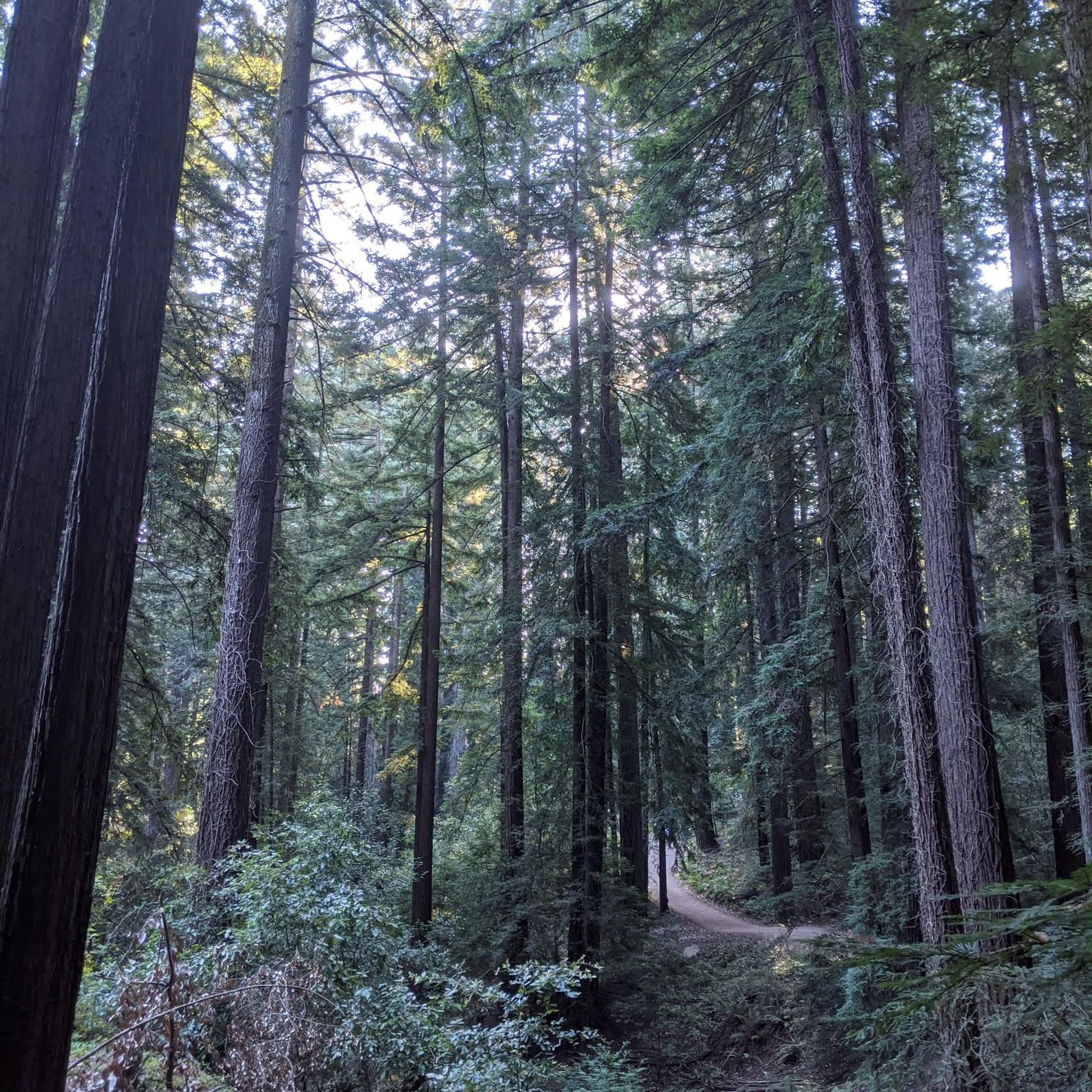
Hiking in Lexington Reservoir County Park (Closed Area)
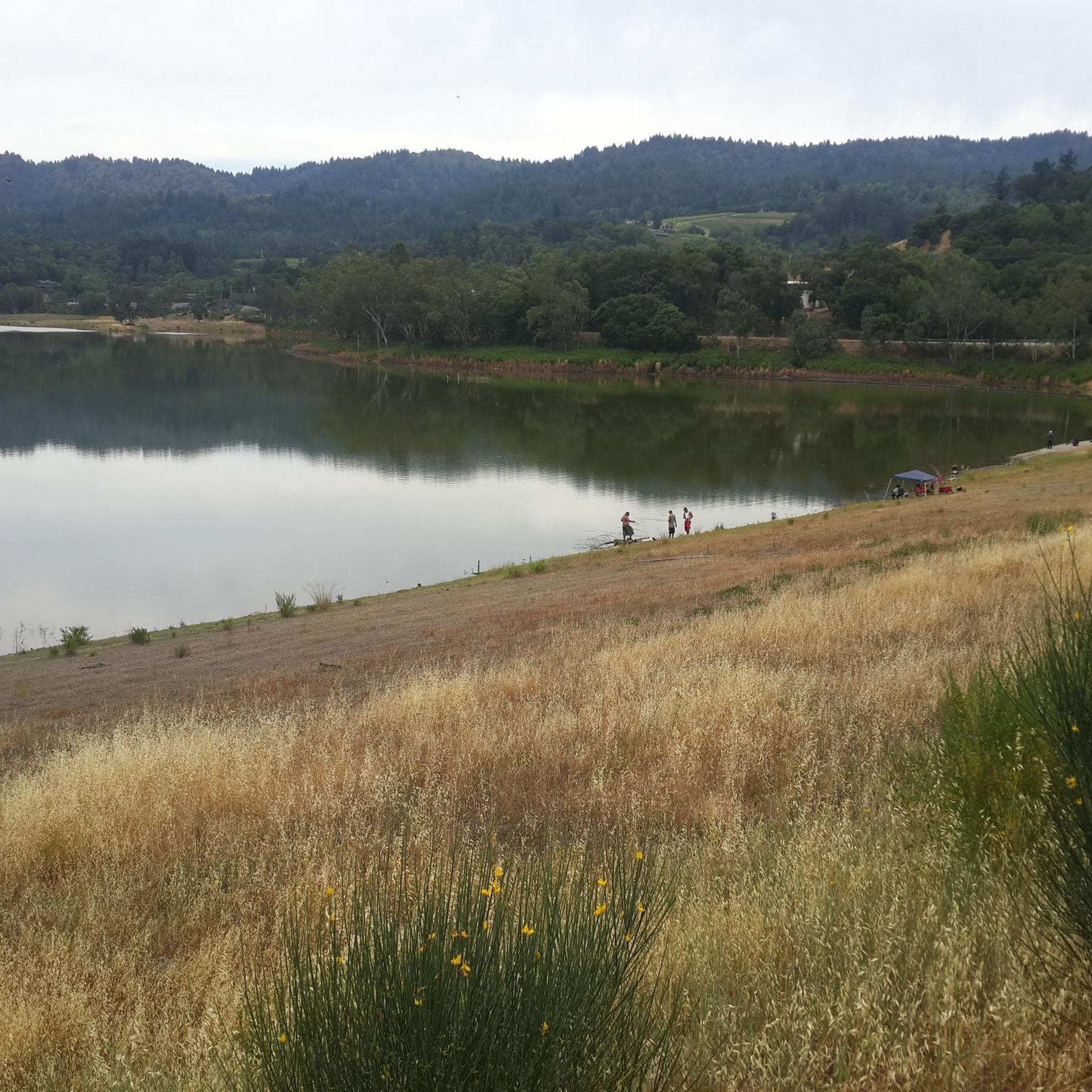
MTB Trails in Lexington Reservoir County Park (Closed Area)
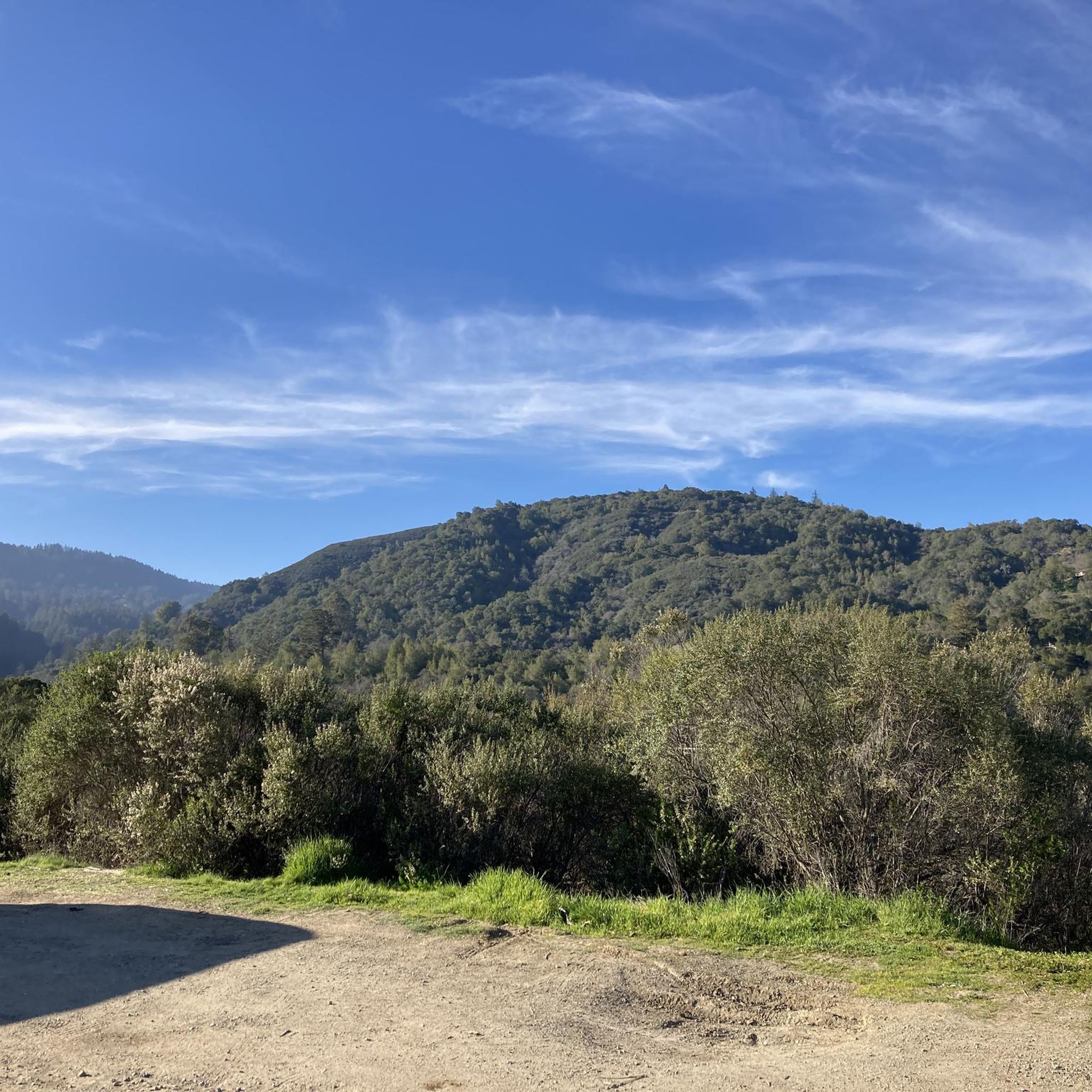
Road Cycling Routes in Lexington Reservoir County Park (Closed Area)
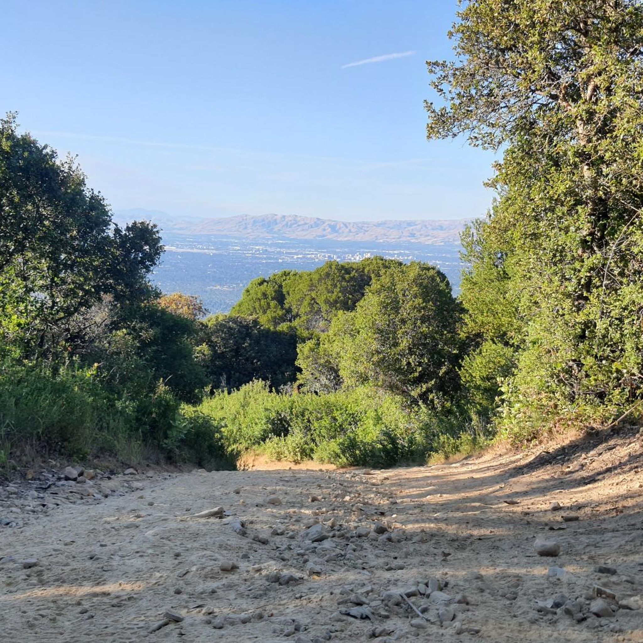
Cycling in Lexington Reservoir County Park (Closed Area)
Tips from the Community

Approaching Hicks road from Camden Ave. Avoid this area on Sundays between 8 AM to noon. It gets busy with impatient church people. The first 6 miles are meandering narrow roads with gentle climbs. The famous Hicks Climb starts with a sharp left bend on an old bridge. You face immediately a 14% gradient which is unnerving if it is your first time. The roads gains 800 feet in 1.2 miles. The average gradient of 8% hides the fact that there are some sections with 3-4% gradient in this 1.2 miles. Be patient on the climb. Your speed may drop under 3 MPH at times. Come mentally prepared and have some mantras to boost your spirits during the climb. Slow down on descent. The road surface is cold- sealed asphalt so you get good traction but slow down. The road is steep and there are some potholes and wide cracks here and there. Check your brake pads!! Temperature can have a significant impact. Ride it when it is under 75 degrees and road is not wet. Some riders connect this ride with Mount Umunhum climb totaling to 3100 feet of elevation gain in less than 7 miles of which 1.1 miles are either flat of downhill! Be safe …
0
0

This is not a very exciting trail to hike. It’s pretty much a trail surrounded by thick walls of vegetation, with almost no opportunity to view your surroundings. The trail is 70% rocks/gravel, and 30% hard packed clay, so avoid wearing snickers
0
0

Great bar. Friendly helpful staff/owner simple ordering system. Great place to watch the world go by with a beer 🍻
0
0

This non-profit organization was founded in 1968 in an effort to preserve the history of the steam locomotive and commemorate the life of Billy Jones.
0
0

The trail is gravel but well paved. The view is partially blocked by trees but still pretty.
0
0

Shannon Road starts with a gentle climb from Los Gatos Creek to Blossom Hill Park, then transitions into a steeper ascent as it leads into a rural area. The summit below Blossom Hill offers a rewarding challenge and connects to other routes in the area.
1
0

Three of the most popular area trails come together here; depending on how ambitious you are, you might return to this juncture several times as you crank through the forested hills.
1
0

From the top of the dam you get splendid views out across Lexington Reservoir. To the north you overlook the winding end of the Los Gatos Creek Trail, which connects to the Jones Trail across from the restroom just up the road. The dam itself was constructed in 1952 and stands at nearly 200 feet tall.
0
0
Frequently Asked Questions
Is the 'Closed Area' of Lexington Reservoir County Park accessible for gravel biking?
It's important to clarify that the park area west of Highway 17, often referred to as the 'Closed Area' (between Beardsley and Montevina Roads), is currently inaccessible to the public. While there are plans for future development, it does not offer opportunities for outdoor activities, including gravel biking, at this time. However, the wider Lexington Reservoir County Park provides extensive and accessible gravel biking opportunities.
What kind of terrain can I expect on gravel bike trails around Lexington Reservoir?
The terrain around Lexington Reservoir County Park is diverse, nestled in the foothills of the Santa Cruz Mountains. You'll encounter a mix of oak woodland, chaparral, grasslands, and mixed conifer habitats. The routes feature various dips and climbs, with more uphill sections leading towards the reservoir, providing a good workout. Significant portions of trails like the Los Gatos Creek Trail have a gravel surface, ideal for gravel biking.
Are there any beginner-friendly gravel biking routes in the area?
While many routes in the area are rated as 'difficult' due to significant elevation gains and distances, there are sections suitable for varying fitness levels. The Los Gatos Creek Trail, which connects to the reservoir, offers an uninterrupted eight-mile ride with a gravel surface that can be enjoyed for shorter, out-and-back rides. For a full loop, consider routes like the Lexington Reservoir – Los Gatos Creek Trail loop from Oak Meadow, which is 15.8 miles long and incorporates sections of this trail.
What are some notable natural features or landmarks to look out for while gravel biking?
The central feature is the scenic Lexington Reservoir itself, a large man-made lake. When water levels are low, you might even spot remnants of the old towns of Lexington and Alma, which were submerged when the reservoir was built. The area also sits in the Santa Cruz Mountains foothills, offering beautiful views and diverse habitats. A geological point of interest is that a part of the famous San Andreas Fault crosses Los Gatos Creek just south of the reservoir.
How many gravel bike trails are available in Lexington Reservoir County Park?
There are over 8 gravel bike trails available for exploration in the accessible parts of Lexington Reservoir County Park. These routes offer a variety of experiences, from moderate to difficult, catering to different skill levels.
What is the best time of year to go gravel biking in this region?
The region generally offers good conditions for gravel biking for much of the year. Spring and fall often provide pleasant temperatures and vibrant scenery. While winter can bring rain, which might make some trails muddy, the area's diverse terrain means there are usually rideable options. Always check local weather and trail conditions before heading out, especially after heavy rainfall.
Are there any loop trails for gravel biking around Lexington Reservoir?
Yes, there are several excellent loop trails for gravel biking. For example, the Lake Ranch Reservoir – Lexington Reservoir loop from Oak Meadow offers a challenging 19.7-mile ride with significant elevation changes. Another option is the Lexington Reservoir – Lexington Reservoir loop from Saratoga, which is 21.3 miles long.
What are the parking options for gravel bikers visiting Lexington Reservoir County Park?
The park is easily accessible from Silicon Valley urban centers and offers amenities including parking. You'll find parking areas, particularly near Alma Bridge Road, which encircles the eastern side of the reservoir. These spots provide convenient access to the trail network.
Can I connect to other trail systems from Lexington Reservoir County Park?
Absolutely. Lexington Reservoir County Park serves as a gateway to a broader network of trails. For instance, the Priest Rock Trail and Limekiln Trail connect into the Sierra Azul Open Space Preserve. The park is also part of the larger Bay Area Ridge Trail network, offering opportunities for extended rides and exploration beyond the immediate reservoir area.
What is the typical difficulty level for gravel biking routes in this area?
Gravel biking routes in Lexington Reservoir County Park generally range from moderate to difficult. Many of the longer loops, such as the Out of the Barrel – El Sereno Open Space Preserve loop from Oak Meadow (16.1 miles), are rated as 'difficult' due to substantial elevation gains and varied terrain, requiring good fitness and advanced riding skills. There is one moderate route available, but the majority are challenging.
What do other gravel bikers enjoy most about gravel biking in Lexington Reservoir County Park?
The area is highly rated by the komoot community, with an average score of 5.0 stars from 4 reviews. Reviewers often praise the diverse terrain, the scenic views of the reservoir and Santa Cruz Mountains foothills, and the challenging climbs that provide a rewarding workout. The connection to a broader trail network and the extensive gravel surfaces are also frequently highlighted.
Are there any long-distance gravel biking routes available?
Yes, for those looking for longer rides, the area offers several options. The Blossom Hill - Shannon Road – Mine Hill Trailhead loop from Oak Meadow is a significant 33.0-mile trail that takes approximately 5 hours and 19 minutes to complete, leading through varied habitats and foothills.
Most popular routes in Lexington Reservoir County Park (Closed Area)

Get inspired with the komoot mobile app


Explore more
Browse the best Gravel rides in other regions.
