The best gravel rides in French Ranch Open Space Preserve
3.7
(4)
102
riders
16
rides
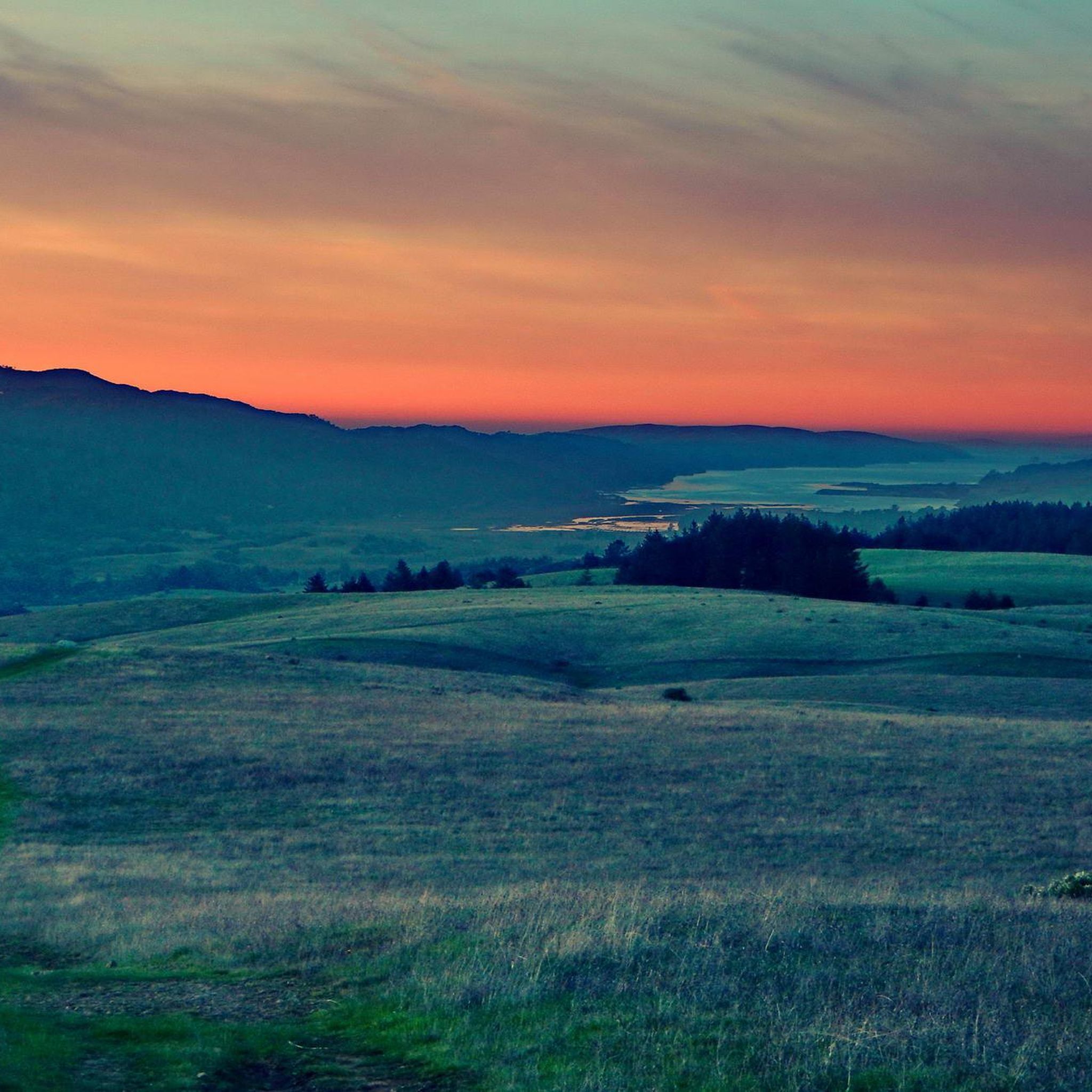
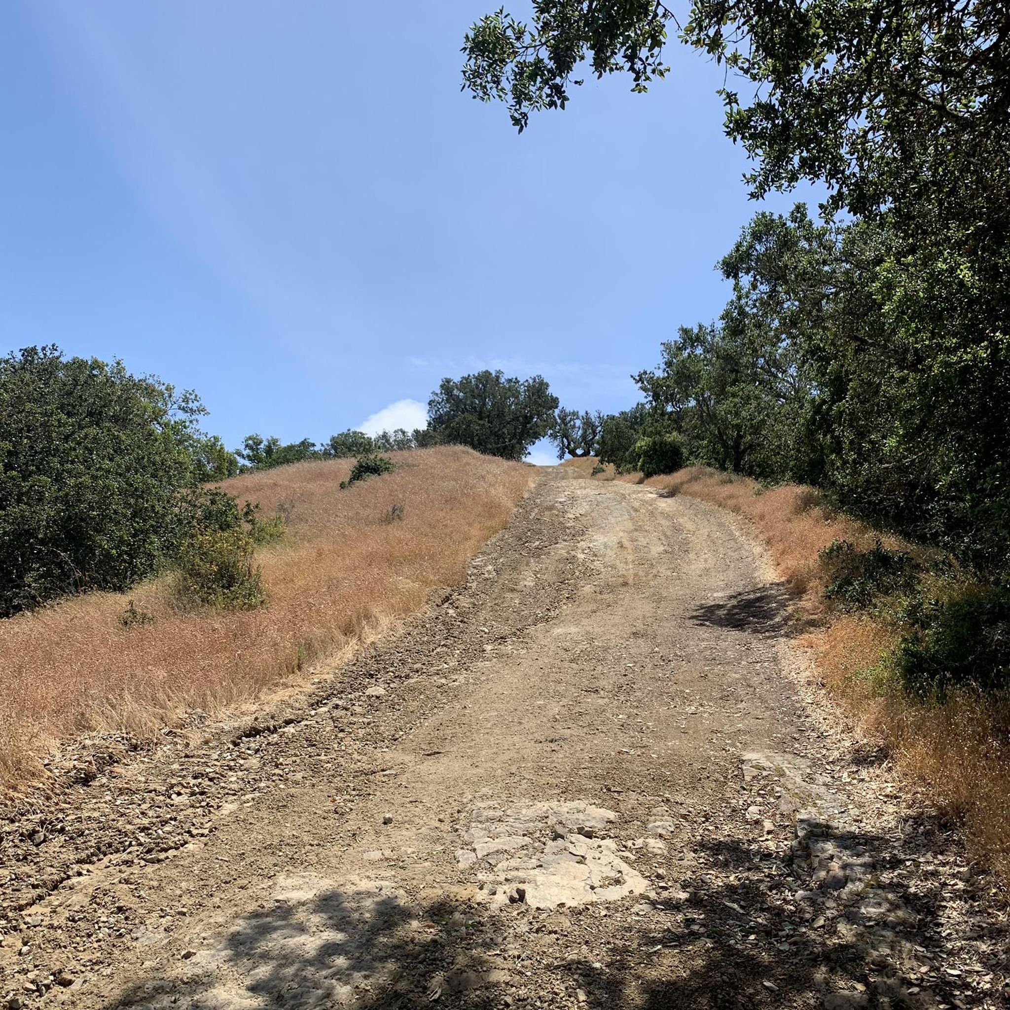
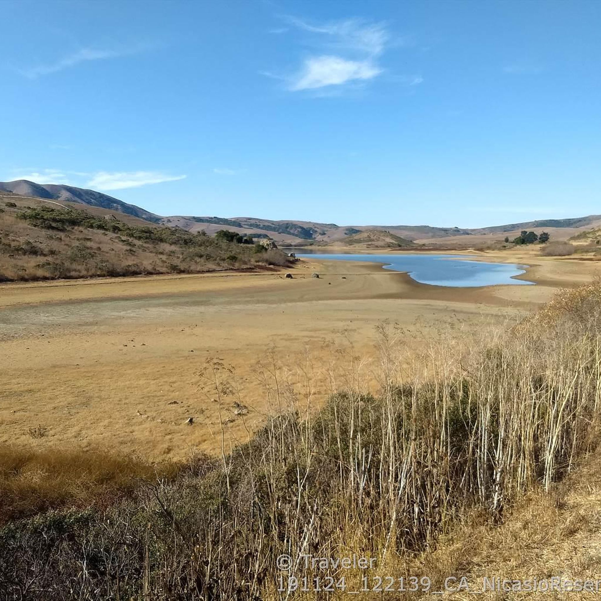
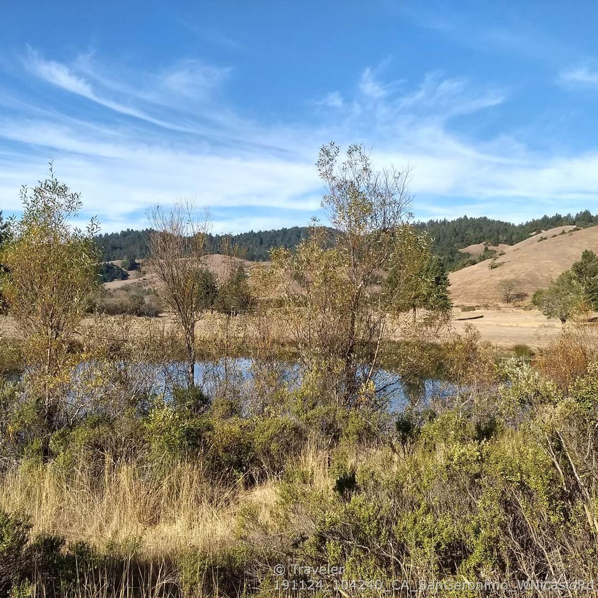
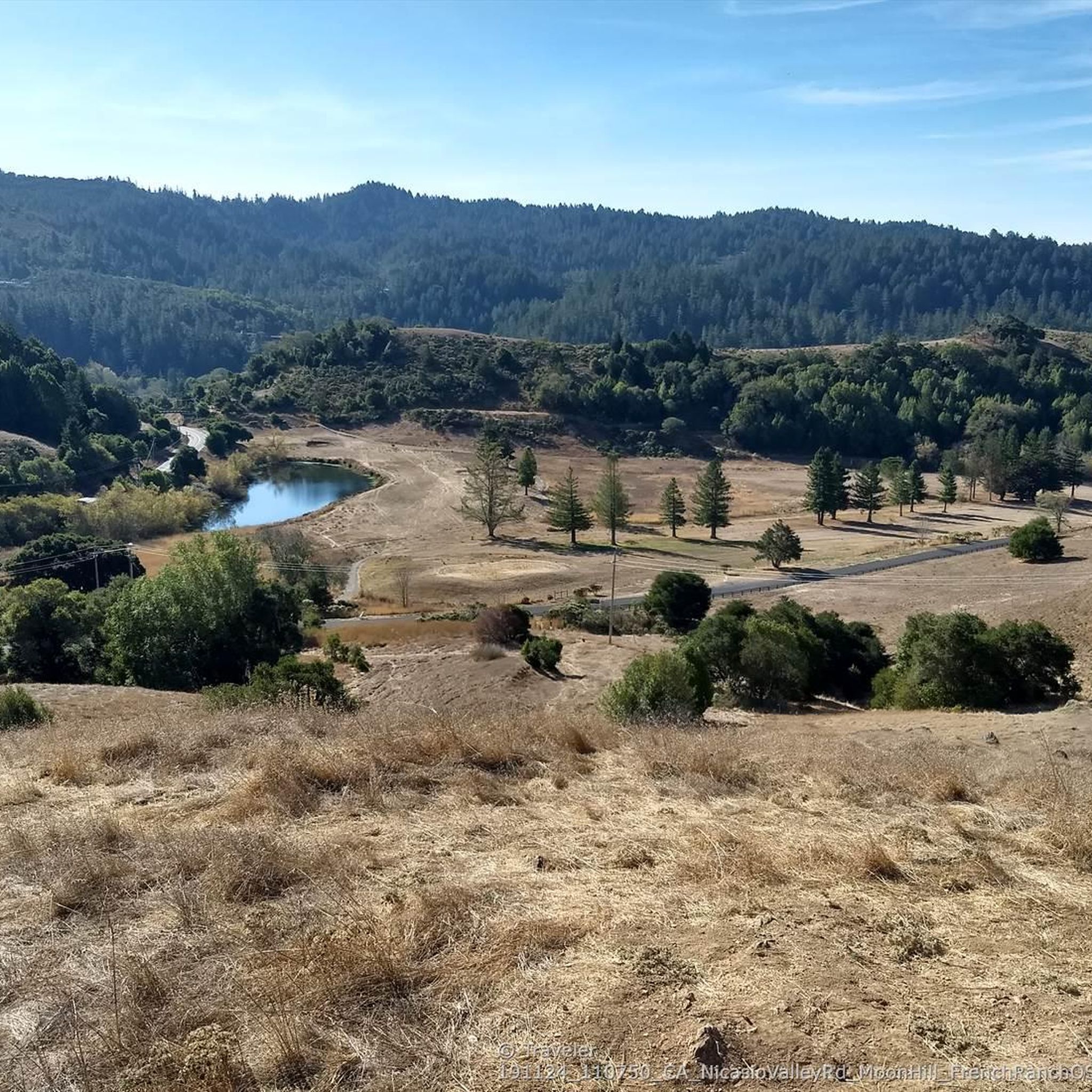
Gravel biking in French Ranch Open Space Preserve offers a network of trails characterized by varied terrain and significant elevation changes. The region features open spaces with rolling hills and forested sections, providing diverse riding experiences. Many routes include climbs that lead to elevated viewpoints, showcasing the landscape of Marin County. The area's topography supports both challenging ascents and more moderate paths suitable for gravel biking.
Best gravel bike trails in French Ranch Open Space Preserve
- The most popular gravel…
Last updated: August 19, 2026
3
riders
15.9km
01:33
490m
500m
Hard gravel ride. Very good fitness required. Mostly paved surfaces. Suitable for all skill levels.
4.0
(2)
36
riders
65.9km
04:42
1,010m
1,010m
Hard gravel ride. Very good fitness required. Mostly paved surfaces. Suitable for all skill levels.

Sign up for free
5.0
(1)
4
riders
69.3km
06:24
1,680m
1,680m
Hard gravel ride. Very good fitness required. Mostly paved surfaces. Suitable for all skill levels.
5
riders
17.7km
01:30
390m
390m
Moderate gravel ride. Good fitness required. Mostly paved surfaces. Suitable for all skill levels.
19
riders
31.3km
02:35
620m
620m
Hard gravel ride. Very good fitness required. Mostly paved surfaces. Suitable for all skill levels.
Get access to more routes and recommendations from other explorers.
Sign up for free
Already have an account?
Our route recommendations are based on thousands of hikes, rides, and runs completed by other people on komoot.
Start today with a free account
Your next adventure awaits.
Login or Signup
Tips from the Community

Constructed in 1917 this dam forms Alpine Lake, which sites between Kent and Bon Tempe Lakes. The road across the top of the dam make it a great place to ride on a loop around the lake.
0
0
This lake was formed by the building of Alpine Dam in 1917. It sits between Kent Lake and Bon Tempe Lake, and is popular for a variety of outdoor activities.
0
0


West of Lake Lagunitas, Bon Tempe Lake is a reservoir managed by Marin Municipal Water District. It features striking scenery, with lush trees, clear water, and a peaceful atmosphere.
0
0

At this point on Sky Oaks Road, there is a junction with Shaver Grade Road, which connects with a dense network of trails and dirt roads near Bald Hill in the Mount Tamalpais State Park. From here, you can continue on the paved Sky Oaks Road or go arond the gate on to the gravel Shaver Grade Road.
0
0

Steep heading West can have traffic on SFD
0
0

Loma Alta literally translates to "high hill" and is the highest point in the Loma Alta Open Space Preserve. A few different dirt roads and trails lead to the bald summit that looks over the surrounding hillsides.
0
0
Embark on an adrenaline-fueled mountain biking adventure through Big Rock. The trail reaches its peak at the towering landmark, a colossal rock that adds a unique touch to the experience. Exercise caution on the descent; the pavement can get slippery, adding an exhilarating challenge to this thrilling ride.
0
0
Frequently Asked Questions
How many gravel bike trails are available in French Ranch Open Space Preserve?
French Ranch Open Space Preserve offers over a dozen gravel bike routes, with 13 distinct tours recorded on komoot. These routes vary in length and difficulty, providing options for different skill levels.
What is the best time of year for gravel biking in French Ranch Open Space Preserve?
The best time for gravel biking in French Ranch Open Space Preserve is generally during the spring and fall months when temperatures are mild and the landscape is vibrant. Summers can be warm, and winters may bring rain, affecting trail conditions. Always check local weather forecasts before heading out.
Are there any beginner-friendly gravel bike routes in French Ranch Open Space Preserve?
While many routes in French Ranch Open Space Preserve are rated difficult, there is at least one easy route available. For those looking for a moderate challenge, the Phoenix Lake – Fish Gulch trail junction loop from Fairfax offers varied terrain over 16.9 miles.
What are the trail conditions like for gravel biking in French Ranch Open Space Preserve?
The trails in French Ranch Open Space Preserve are characterized by varied terrain, including open hillsides and forested sections. Riders should expect significant elevation changes, with many routes featuring challenging climbs. Conditions can vary with weather, so be prepared for potential mud after rain or dusty sections during dry periods.
What kind of views can I expect on gravel bike routes in French Ranch Open Space Preserve?
Many routes in French Ranch Open Space Preserve include climbs that lead to elevated viewpoints, offering panoramic views of the Marin County landscape. For example, the Loma Alta Summit – 680 Trail loop from Marin County includes a challenging climb to Loma Alta Summit, renowned for its expansive vistas.
Are there any loop gravel bike trails in French Ranch Open Space Preserve?
Yes, many of the gravel bike trails in French Ranch Open Space Preserve are designed as loops. Popular options include the Marie Dhority Bridge – Cross Marin Trail loop from Samuel P. Taylor State Park and the 680 Trail – Gestalt Haus loop from Fairfax, both offering circular routes to explore the area.
What is the typical elevation gain on gravel bike routes in French Ranch Open Space Preserve?
Gravel biking in French Ranch Open Space Preserve is known for significant elevation gain. Many routes feature substantial climbs; for instance, the Alpine Dam – Alpine Lake loop from Sleepy Hollow includes over 3,280 feet (1000 meters) of ascent, providing a challenging workout.
What attractions or points of interest can I see along the gravel bike trails?
Along the gravel bike trails, you can explore various natural features and open spaces. Notable highlights include Roy's Redwoods Open Space Preserve, the scenic Moon Hill Summit, and the Roy's Redwoods Loop Trail. These offer opportunities to experience the region's diverse landscapes.
What do other gravel bikers enjoy most about French Ranch Open Space Preserve?
The area is highly rated by the komoot community, with an average score of 4.5 stars. Riders often praise the diverse terrain, from open hillsides to forested sections, and the challenging climbs that lead to rewarding panoramic views of Marin County.
Is there public transport access to French Ranch Open Space Preserve gravel trails?
While specific public transport options directly to all trailheads may be limited, some routes start near towns like Fairfax or Samuel P. Taylor State Park, which may have regional bus services. It's advisable to check local transit schedules for the most up-to-date information on reaching specific starting points.
Where can I find parking for gravel biking in French Ranch Open Space Preserve?
Parking availability varies depending on the specific trailhead. Many routes originate from areas like Samuel P. Taylor State Park or near Fairfax, which typically offer designated parking facilities. Always check the starting point of your chosen route for specific parking information.
Are there any advanced gravel trails in French Ranch Open Space Preserve?
Yes, French Ranch Open Space Preserve is well-suited for advanced gravel bikers, with 9 out of 13 routes rated as difficult. Trails like the Marie Dhority Bridge – Cross Marin Trail loop feature substantial elevation gains and challenging terrain, ideal for experienced riders.
Most popular routes in French Ranch Open Space Preserve
Most popular attractions in French Ranch Open Space Preserve

Get inspired with the komoot mobile app


Explore more
Browse the best Gravel rides in other regions.
