The best gravel rides in North Cowichan Municipal Forest Reserve
4.6
(15)
134
riders
10
rides
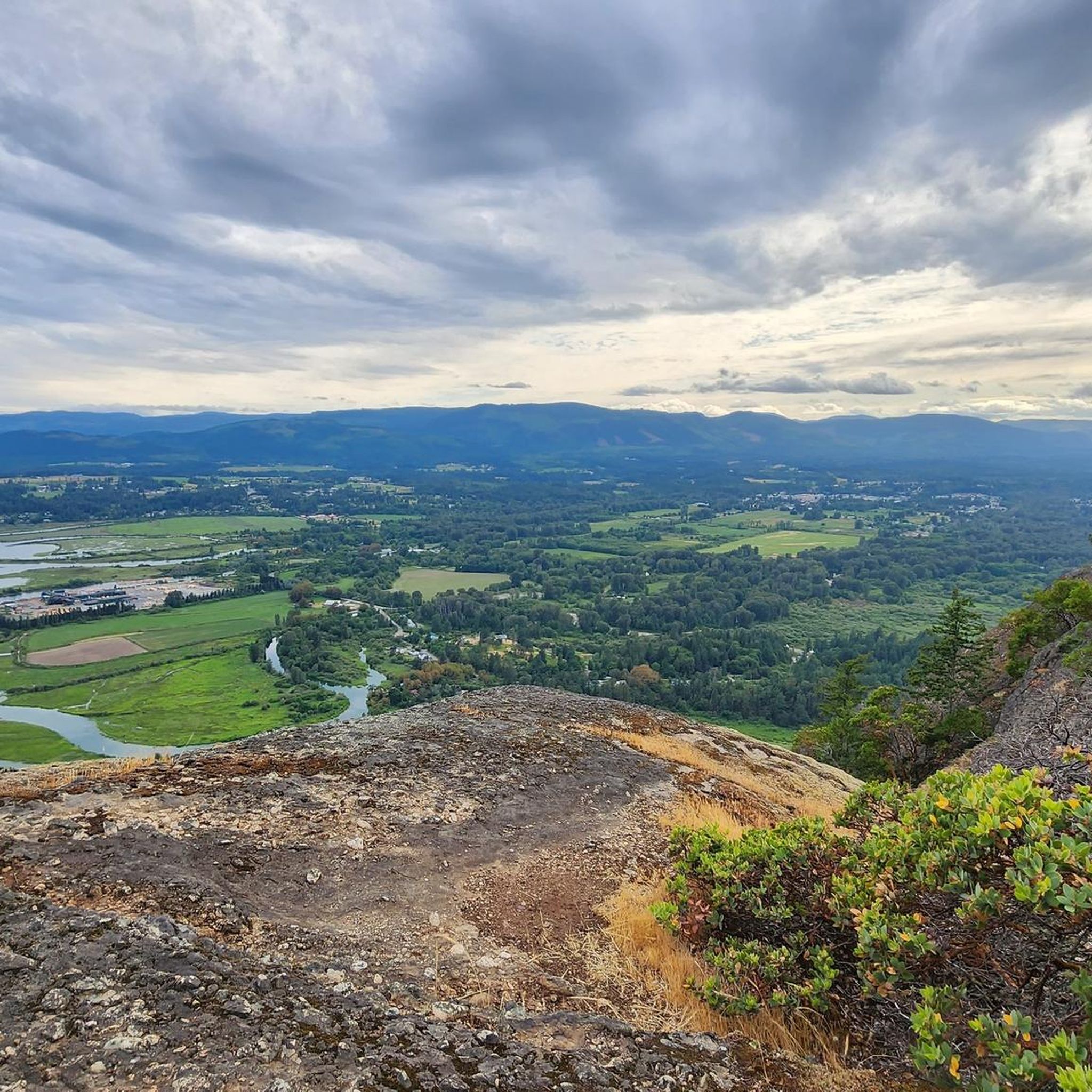
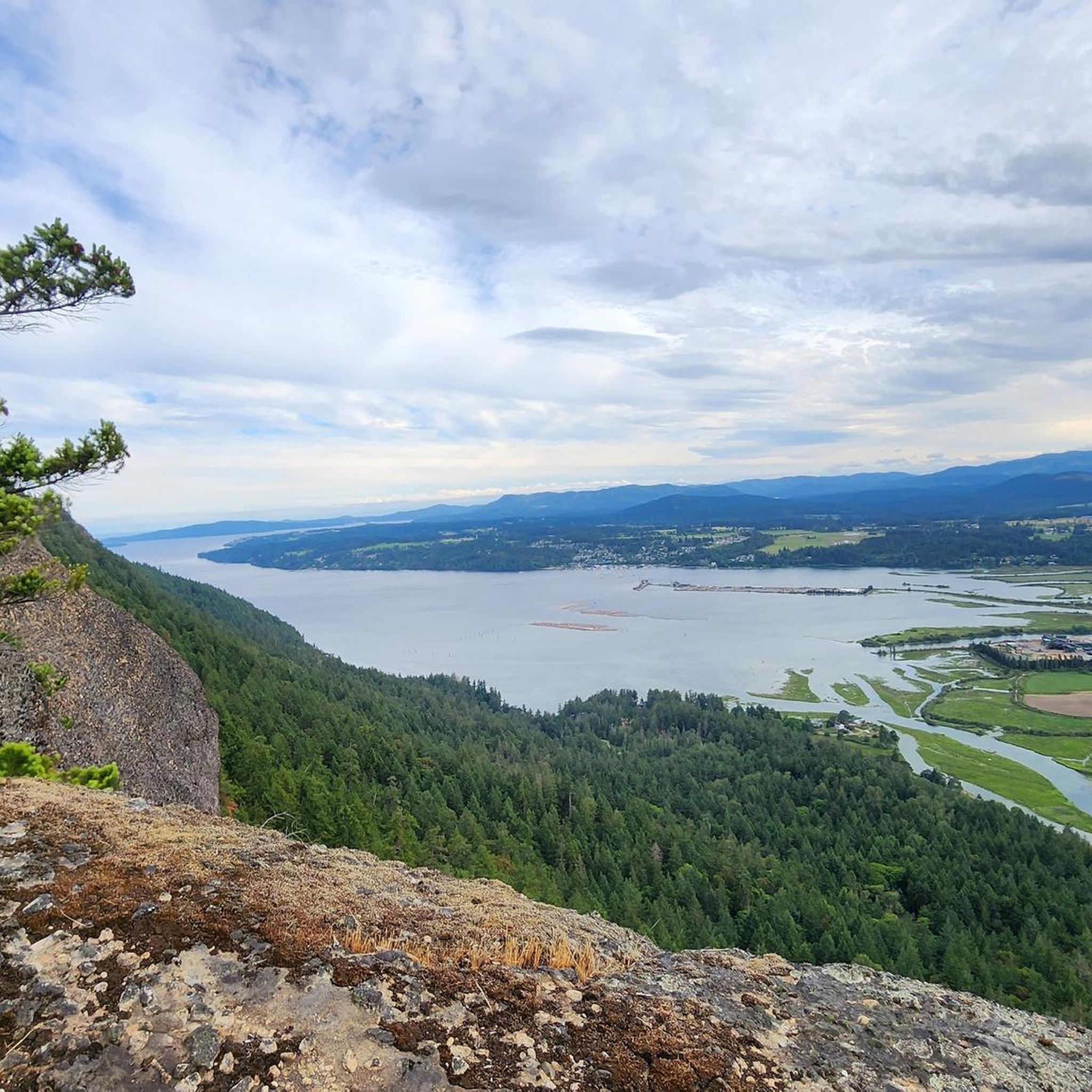
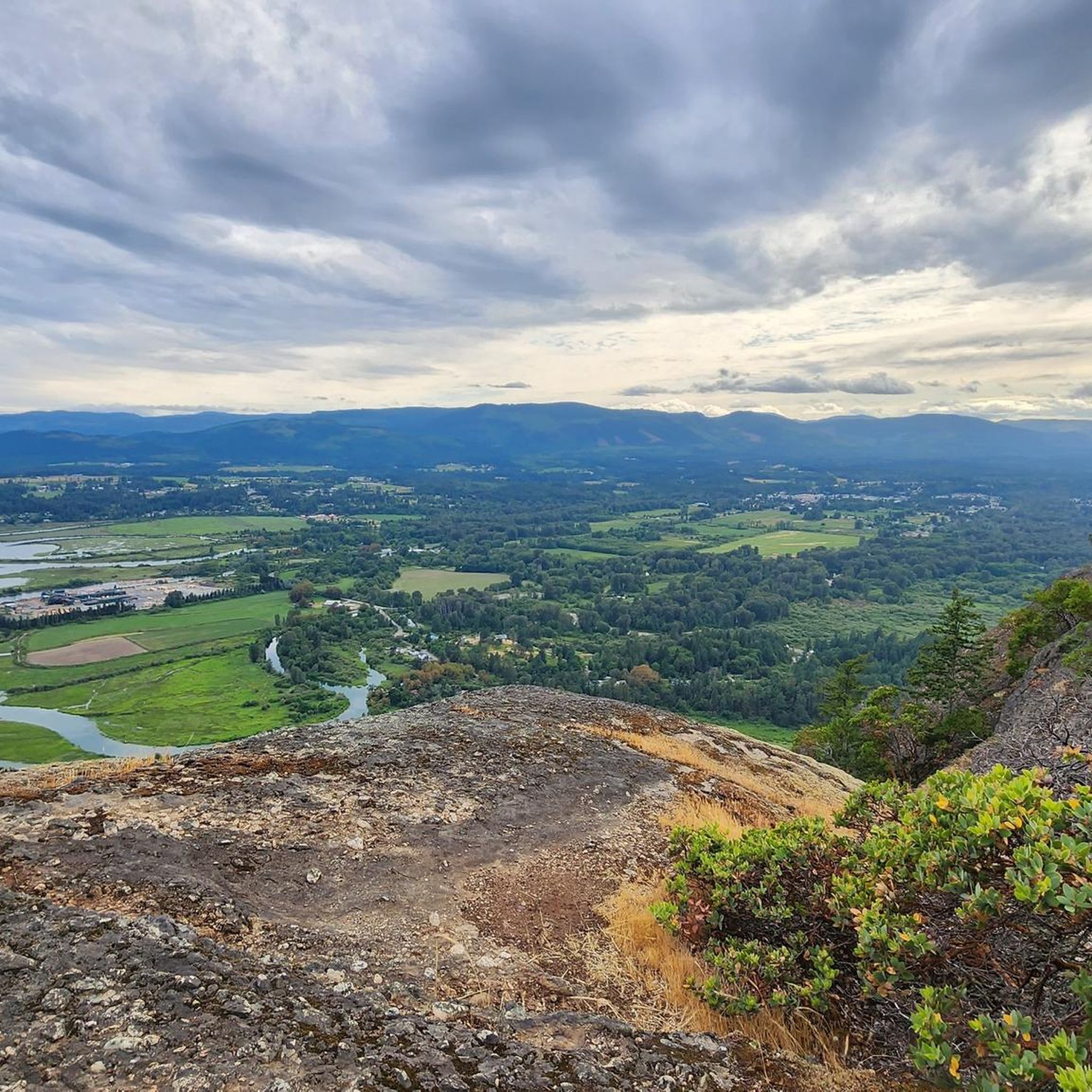
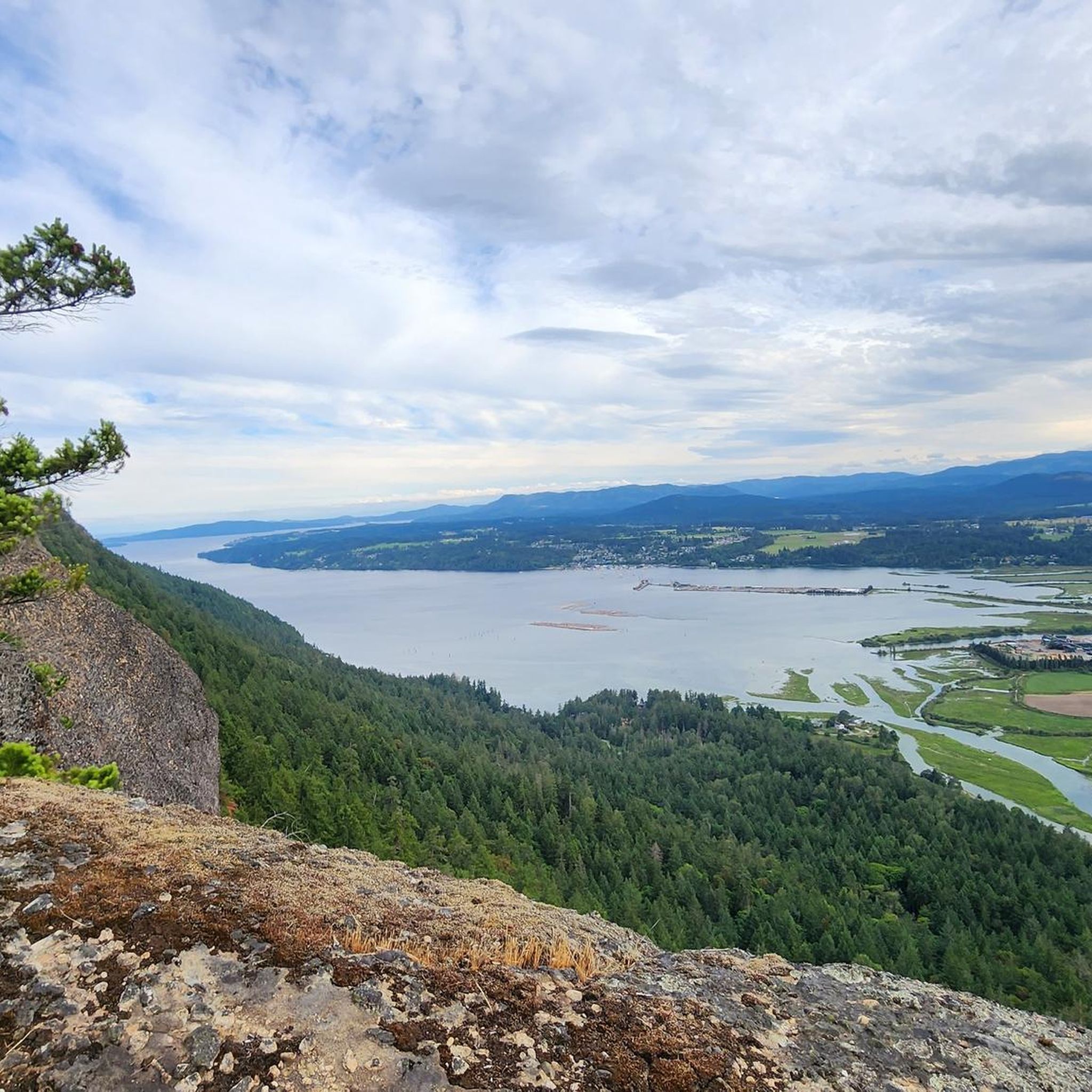
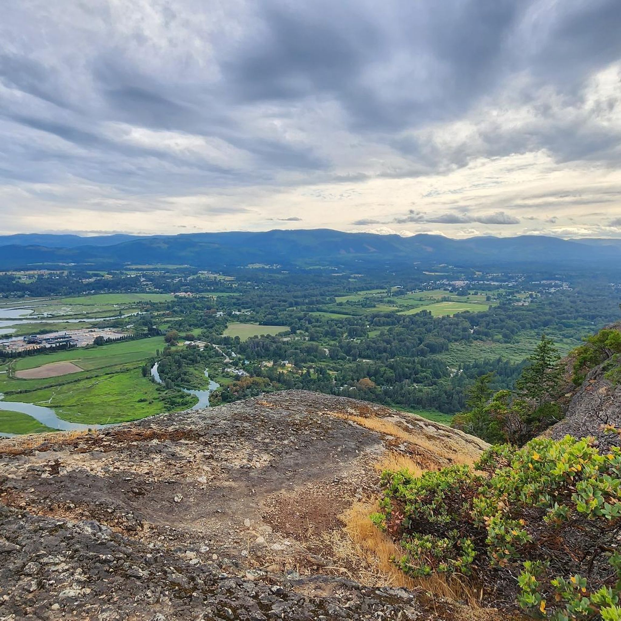
Gravel biking in North Cowichan Municipal Forest Reserve offers an extensive network of routes across a 5,000-hectare expanse on Vancouver Island. The terrain features diverse landscapes, including lush forests, tranquil rivers, and the "Six Mountains" such as Mount Prevost and Mount Tzouhalem. These routes provide varied elevation gains, from moderate climbs to more challenging ascents, allowing cyclists to explore the area's natural features. The reserve connects to the broader Cowichan Valley Trail and Trans Canada Trail, which are primarily wide gravel paths.
Best gravel bike trails in North Cowichan Municipal Forest Reserve
- The most popular gravel bike trail is Cowichan Valley Trail loop from Westholme, a 17.7 miles (28.5 km) trail that takes 1 hour 52 minutes to complete. This route follows a section of the multi-use Cowichan Valley Trail, offering a mostly wide gravel path experience.
- Another top favourite among local gravel bikers is Lake Cowichan – 66 Mile Trestle loop from Duncan, a difficult 44.6 miles (71.8 km) path. This route features significant elevation gain, winding through forested areas and offering views of the surrounding landscape.
- Local gravel bikers also love the Cowichan Valley Trail loop from Saltair, a 11.2 miles (18.0 km) trail leading through varied terrain, often completed in about 1 hour 12 minutes.
- Gravel biking in North Cowichan Municipal Forest Reserve is defined by extensive trail networks, lush forests, and views from hills like Mount Tzouhalem. The network offers options for different ability levels, from easy paths to challenging climbs.
- The routes in North Cowichan Municipal Forest Reserve are highly rated by the komoot community with an average score of 4.7 stars from over 10 reviews. More than 130 gravel bikers have used komoot to explore North Cowichan Municipal Forest Reserve's varied terrain.
Last updated: August 27, 2026
4.5
(4)
13
riders
28.5km
01:29
200m
200m
Moderate gravel ride. Good fitness required. Mostly paved surfaces. Suitable for all skill levels.
5.0
(1)
32
riders
70.4km
04:29
590m
590m
Hard gravel ride. Very good fitness required. Mostly paved surfaces. Suitable for all skill levels.

Sign up for free
4.0
(3)
15
riders
18.4km
00:59
110m
110m
Easy gravel ride. Great for any fitness level. Mostly paved surfaces. Suitable for all skill levels.
4.7
(3)
23
riders
58.8km
03:03
440m
440m
Moderate gravel ride. Good fitness required. Mostly paved surfaces. Suitable for all skill levels.
4
riders
43.1km
02:27
340m
340m
Moderate gravel ride. Good fitness required. Mostly paved surfaces. Suitable for all skill levels.
Get access to more routes and recommendations from other explorers.
Sign up for free
Already have an account?
Our route recommendations are based on thousands of hikes, rides, and runs completed by other people on komoot.
Start today with a free account
Your next adventure awaits.
Login or Signup
Popular around North Cowichan Municipal Forest Reserve
Tips from the Community

Easy access to grocery store, Tim Horton's and pizza shop from trail. Great for a quick stop!
0
0

This trestle was closed for repair until recently, but is now open. Trail widening and surfacing was also done near the trestle.
0
0

Great for swimming and with the option of wild camping. Directly above the water between bushes and trees. Good privacy and very quiet after 7 p.m. It is also tolerated. There are no no camping signs either.
0
0

- It has a length of approximately 30 kilometers. - It is one of the largest lakes on Vancouver Island. Popular for recreational activities such as fishing, kayaking, paddleboarding and swimming. - Around the lake there are numerous cabins. - The region has a rich cultural history and is important to local indigenous communities.
2
0

The Holt Creek Trestle is northwest of the Kinsol Trestle near Glenora Trails Head Park. Built in 1922 as a railway bridge and was transferred to provincial ownership by CN Rail in 1991.
0
0

We cycled the Cowichan valley trail from Duncan to Cowichan Lake with our loaded touring bikes. The road is very well maintained and just astonishing! There are a few amazing bridges. It is an old train track so there are no sharp turns and only goes 2% uphill. Strongly recommend! This trail is apparently more picturesque than the one north of the river.
1
0

After the Kinsol Trestle probably the most beautiful bridge on the Cowichan Valley Trail. Very nice view of the stream - and you may even see people who are not on the trail!
1
0
Incredibly important place if you want to drive the Cowichan Valley Trail a little longer: Here there is fresh drinking water! This is not to be underestimated, except for small rivulets or brooks you would find little else along the way, other "toilets" have no drinking water. Also otherwise a very nice facility right on the trail.
1
0
Frequently Asked Questions
What kind of terrain can I expect on gravel bike trails in the North Cowichan Municipal Forest Reserve?
The North Cowichan Municipal Forest Reserve offers a diverse range of terrain for gravel biking. You'll find extensive networks of forestry roads and sanctioned trails winding through lush forests, along tranquil rivers, and up the slopes of the "Six Mountains" like Mount Prevost and Mount Tzouhalem. Many routes, including sections of the Cowichan Valley Trail, are wide gravel paths, while others feature more challenging climbs and descents.
Are there gravel bike trails suitable for beginners in the North Cowichan Municipal Forest Reserve?
Yes, there are routes suitable for beginners. For example, the Cowichan Valley Trail loop from Saltair is rated as easy, covering 11.2 miles (18.0 km) with moderate elevation gain, making it a great option for those new to gravel biking or looking for a more relaxed ride.
What kind of elevation gain can I expect on gravel bike trails in the North Cowichan Municipal Forest Reserve?
Elevation gains vary significantly across the reserve. While some routes offer moderate climbs, others present challenging ascents requiring advanced fitness, with gains up to 3,000 ft or more. For instance, the difficult Lake Cowichan – 66 Mile Trestle loop from Duncan features over 600 meters (2,000 ft) of elevation gain.
Are there any loop gravel bike trails in the North Cowichan Municipal Forest Reserve?
Yes, many of the gravel bike routes in the reserve are designed as loops, allowing you to start and finish at the same point. Popular loop options include the Cowichan Valley Trail loop from Westholme and the Lake Cowichan Bridge – Lake Cowichan loop from Duncan.
What natural features or landmarks can I see while gravel biking in the North Cowichan Municipal Forest Reserve?
The reserve is rich in natural beauty. You can expect to see lush forests, tranquil rivers like the Chemainus River, and diverse ecosystems. Many trails offer spectacular views from mountains such as Mount Tzouhalem and Maple Mountain, overlooking Maple Bay and towards Saltspring Island. You might also encounter features like Lower Banon Creek Falls.
Is there parking available for gravel bikers in the North Cowichan Municipal Forest Reserve?
Yes, various access points to the North Cowichan Municipal Forest Reserve's extensive trail network offer parking facilities. Specific parking areas are often indicated on local trail maps or the official North Cowichan Trails App, making it convenient to start your ride.
What is the best time of year to go gravel biking in the North Cowichan Municipal Forest Reserve?
The North Cowichan Municipal Forest Reserve is generally enjoyable for gravel biking throughout much of the year. Spring and fall offer pleasant temperatures and vibrant scenery. Summer provides warmer, drier conditions, while winter can bring cooler weather and potentially wet or muddy trails, though many routes remain accessible.
Are dogs allowed on the gravel bike trails in the North Cowichan Municipal Forest Reserve?
Generally, dogs are permitted on trails within the North Cowichan Municipal Forest Reserve, but it's important to keep them under control, often on a leash, especially in more populated areas or near wildlife. Always check specific trail signage for any restrictions or requirements regarding pets.
Are there any cafes or pubs near the gravel bike trails for a post-ride refreshment?
The North Cowichan Municipal Forest Reserve is located near communities like Duncan, Westholme, and Saltair, which offer various options for cafes, pubs, and restaurants. You'll find places to refuel and relax within a short distance of many trailheads, particularly in the larger town of Duncan.
How many gravel bike trails are available in the North Cowichan Municipal Forest Reserve?
Komoot currently lists over a dozen gravel bike routes in the North Cowichan Municipal Forest Reserve, ranging from easy to difficult. This extensive network provides numerous options for exploring the area's diverse landscapes.
What do other gravel bikers enjoy the most about gravel biking in North Cowichan Municipal Forest Reserve?
The area is highly rated by the komoot community, with an average score of 4.7 stars from over 10 reviews. Reviewers often praise the extensive trail networks, the lush forests, and the spectacular views from hills like Mount Tzouhalem, highlighting the diverse options for different ability levels.
Most popular routes in North Cowichan Municipal Forest Reserve
Most popular attractions in North Cowichan Municipal Forest Reserve

Get inspired with the komoot mobile app


Explore more
Browse the best Gravel rides in other regions.
