The 20 Most Amazing Peaks around Breitungen/Werra
Best mountain peaks around Breitungen/Werra are situated between the Thuringian Forest and the Rhön mountains. The region features rolling hills and dense forests, with the Werra river flowing through. It offers a variety of elevated points and hiking destinations for nature enthusiasts. The area is known for its extensive hiking trails, providing access to many natural attractions.
Best mountain peaks around Breitungen/Werra
- The most popular mountain peaks is Pleß Tower, a viewpoint that offers a wonderful all-round view from…
Last updated: July 7, 2026
Pleß Tower
Highlight • Viewpoint
Translated by Google •
Tip by

Krayenburg Castle Ruins
Highlight • Castle
Translated by Google •
Tip by

Sign up now to discover places like this
Get recommendations on the best single tracks, peaks, & plenty of other exciting outdoor places.
Sign up for free
Baier (714 m)
Highlight • Summit
Translated by Google •
Tip by

Stoffelskuppe Summit and Basalt Boulder Field
Highlight • Summit
Translated by Google •
Tip by

Gerberstein Viewpoint
Highlight • Viewpoint
Translated by Google •
Tip by

Sign up for free to discover even more peaks around Breitungen/Werra.
Sign up for free
Already have an account?
Start today with a free account
Your next adventure awaits.
Login or Signup
Popular around Breitungen/Werra
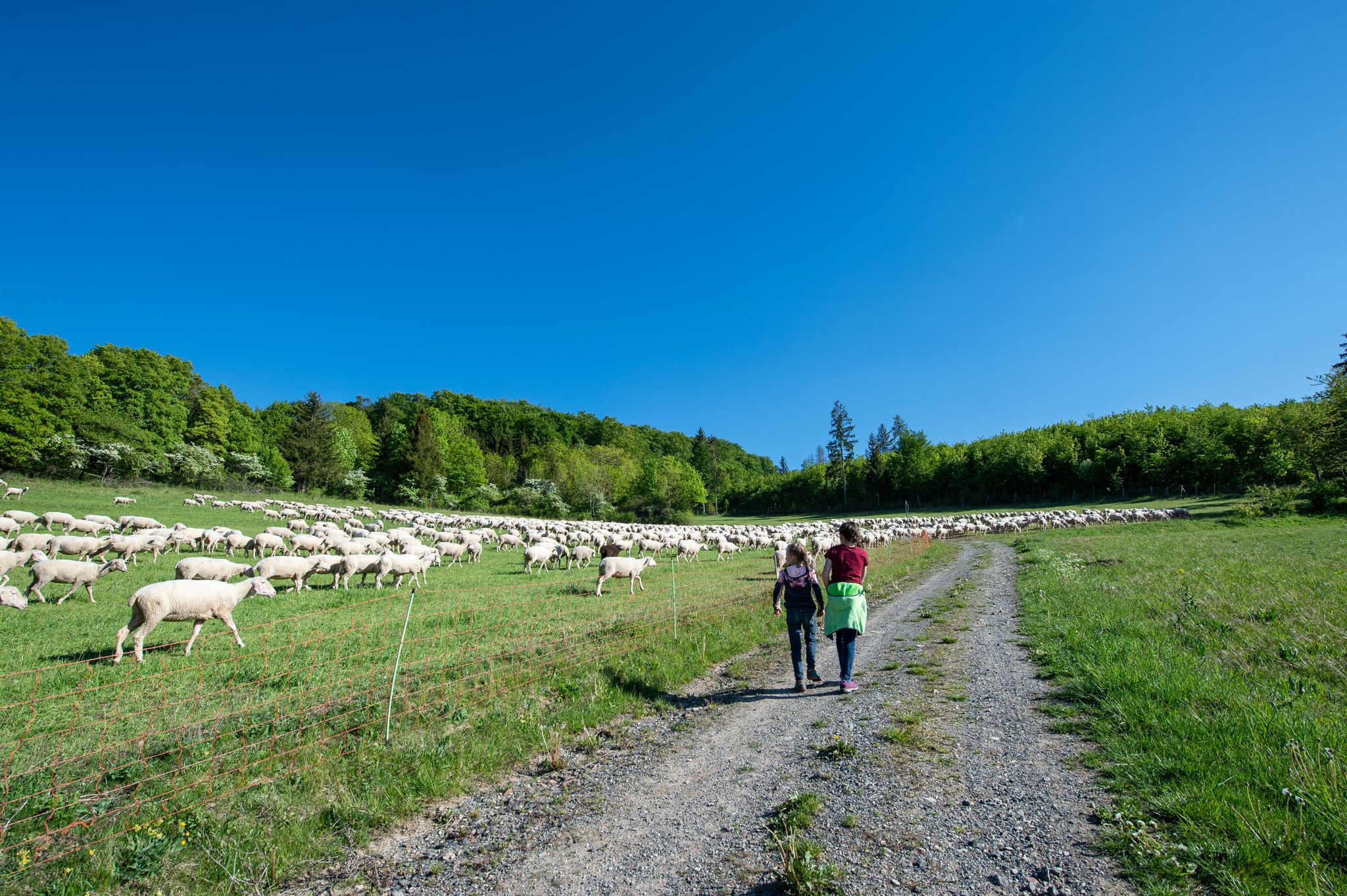
Family paths - on the way with kids in the Rhön
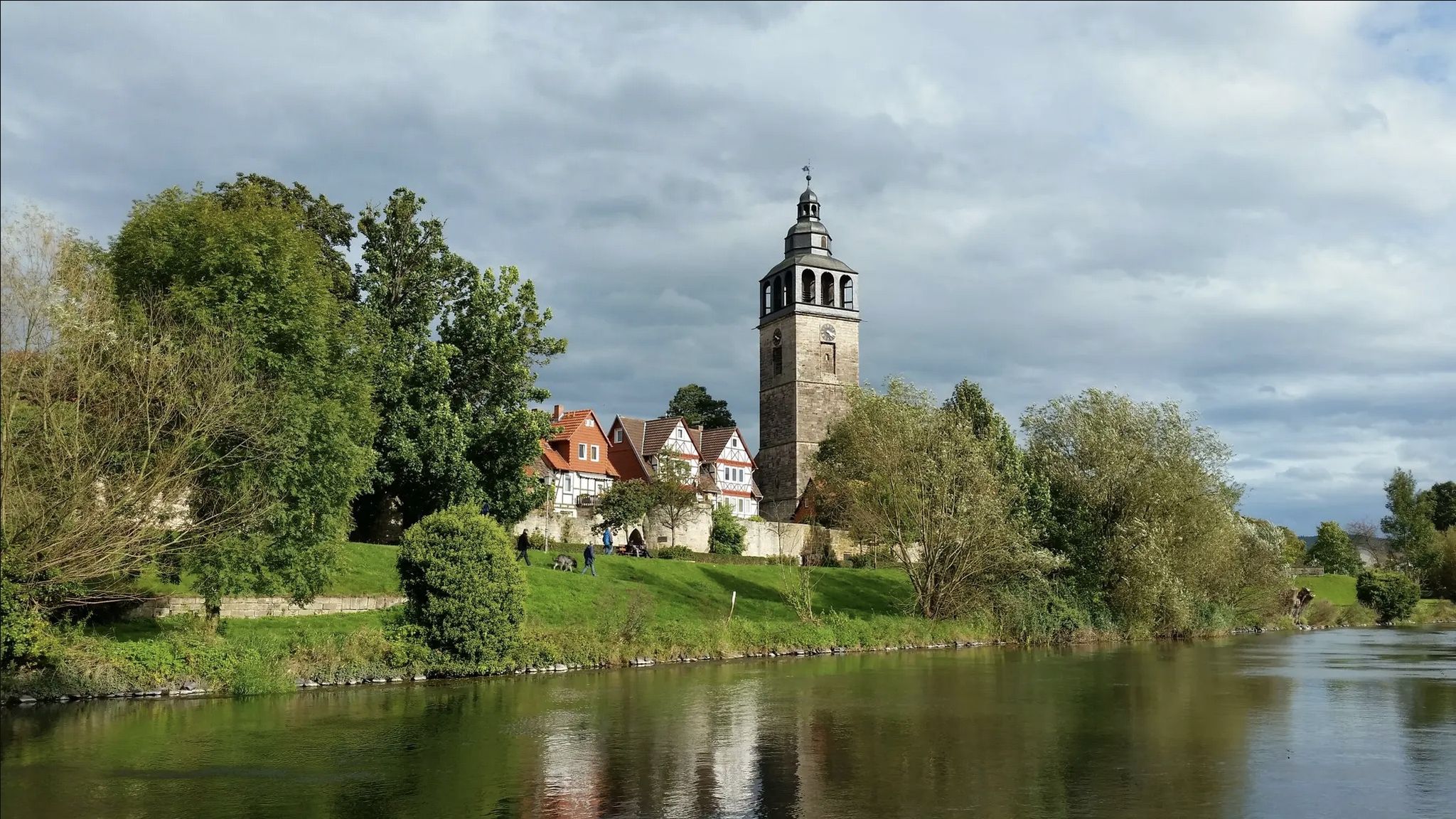
Werra-Burgen-Steig trail – castles and forests in 3 states
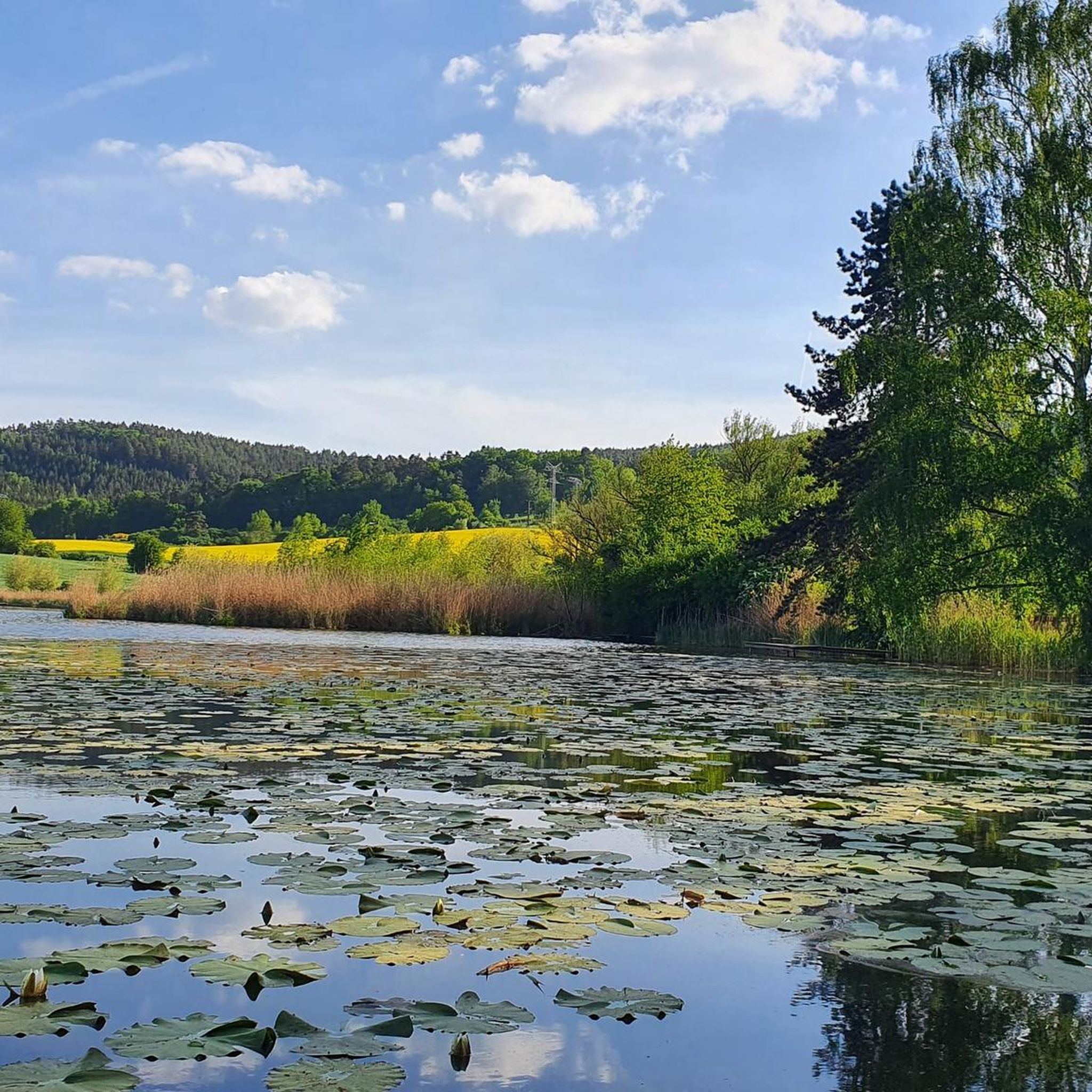
Cycling around Breitungen/Werra
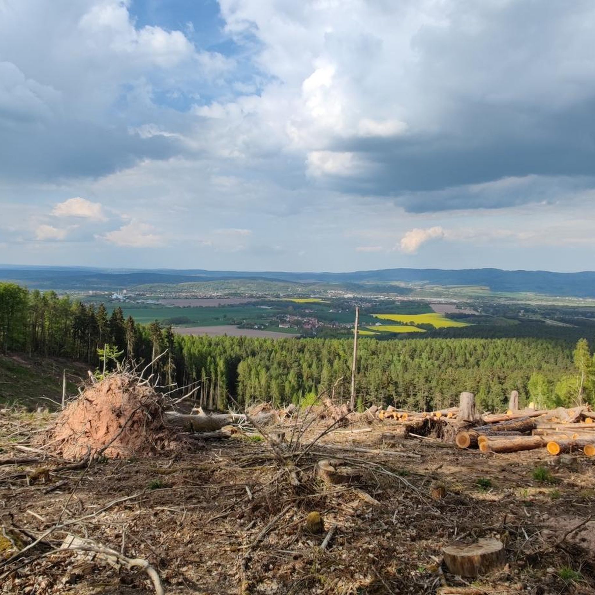
Hiking around Breitungen/Werra
Running Trails around Breitungen/Werra
Road Cycling Routes around Breitungen/Werra
MTB Trails around Breitungen/Werra

Gravel biking around Breitungen/Werra


Tips from the Community

The climb was more difficult than expected, lots of nettles, burrs, blackberry bushes... and stones. But it's nice and quiet up here you can enjoy the view to the west on a bench 👉🏻 Bunker (type SBK) border observation post of the 5th Mühlhausen reconnaissance battalion of the GSSD (demolished/ruin) 📜https://www.sachsenschiene.net/bunker/bun/bun_984.htm
1
0

Next to the ruins of the old Krayenburg is the new Krayenburg. Unfortunately, it is only open on a few weekends.
6
0
The ruins of the Krayenburg on the Krayenberg are a place with ancient history. The ruins are not directly accessible, but can be viewed.
6
0

To the west of Tiefenort, the conical hill of the 431 m high Krayenberg rises above the Werra valley. The ruins of Krayenburg castle stand on the summit
17
0


Even without catering, the Krayenburg is worth a trip. The paths are easy to hike and don't require any major skills
4
0

There is a beautiful view at the back.
1
0
Beautiful castle, in a wonderful landscape.
4
0
Frequently Asked Questions
What are some of the most notable mountain peaks to visit around Breitungen/Werra?
The region offers a variety of elevated points. Among the most popular are Pleß Tower, known for its panoramic views, the historical Krayenburg Castle Ruins, and Baier (714 m), a significant basalt summit within the Biosphere Reserve Thuringian Rhön.
Which mountain peaks offer the best panoramic views in the Breitungen/Werra area?
For breathtaking panoramic views, the Pleß Tower is highly recommended. Its 22-meter high observation tower provides magnificent vistas over the Rhön mountains, the Thuringian Forest, and the Werra valley. The Krayenburg Castle Ruins and Frankenburg also offer expansive views from their elevated positions.
Are there family-friendly mountain peaks or hikes in the Breitungen/Werra region?
Yes, several spots are suitable for families. The Pleß Tower area is considered family-friendly, and the Hohe Wart area near Breitungen/Werra features the Hohe-Wart-Haus with a nature playground, making it ideal for families seeking gentle ascents and tranquility. The Baier (714 m) also has family-friendly aspects.
Can I find historical sites on the mountain peaks near Breitungen/Werra?
Absolutely. The Krayenburg Castle Ruins, situated on the 431 m high Krayenberg, offer a rich historical experience. Frankenburg is another impressive ruin on a mountain peak, allowing visitors to explore its history while enjoying scenic views. The Hohe Wart near Oberzella also holds historical significance as a former medieval watchpoint.
What kind of natural features can I expect to see on these peaks?
The peaks around Breitungen/Werra showcase diverse natural features. You'll find significant basalt formations, such as those at Baier (714 m) and Stoffelskuppe Summit and Basalt Boulder Field. The region is characterized by dense mixed forests and rolling hills, with the Baier being part of the Biosphere Reserve Thuringian Rhön, known for its varied flora and fauna.
Are there any mountain peaks suitable for beginner hikers?
While many trails are moderately challenging, the Hohe Wart area offers round hiking trails with gentle ascents, making it suitable for those seeking an easier experience. The Stoffelskuppe Summit can also be reached relatively easily, offering a peaceful experience without extreme difficulty.
What outdoor activities can I do near the mountain peaks around Breitungen/Werra?
The area is excellent for various outdoor activities. You can explore extensive hiking trails, including sections of the Rennsteig and the Werra Burgen Steig. For cycling enthusiasts, there are numerous options for cycling, gravel biking, and mountain biking, with routes like the 'Pless Observation Tower – View of Breitungen loop' offering moderate challenges.
Are there places to eat or rest near the mountain peaks?
Yes, several peaks offer amenities. The Pleß Tower features a managed hiking hut that is open on weekends. The Krayenburg Castle Ruins also had a restaurant, and the Hohe-Wart-Haus in the Hohe Wart area provides a resting point with a beer garden.
What is the best time to visit the mountain peaks around Breitungen/Werra?
The region is beautiful year-round, but spring and autumn offer particularly pleasant hiking conditions with mild temperatures and vibrant foliage. Summer is also popular, especially for enjoying the views from observation towers. Winter hiking is possible, but some routes might require appropriate gear due to snow or ice.
Are the mountain trails around Breitungen/Werra dog-friendly?
Many trails in the region are dog-friendly, allowing you to enjoy hikes with your canine companion. The Pleß Tower area is specifically noted as dog-friendly, and generally, the extensive network of forest trails welcomes dogs, though it's always advisable to keep them on a leash.
What do visitors enjoy most about the mountain peaks in Breitungen/Werra?
Visitors frequently praise the stunning panoramic views, especially from the Pleß Tower. The combination of historical sites like the Krayenburg Castle Ruins with scenic beauty is also a major draw. The tranquility of the mixed forests and the unique natural features, such as the basalt formations at Stoffelskuppe, are highly appreciated.
How long does it typically take to hike to the Pleß Tower?
A moderately challenging circular route leads to the summit of Pleß. The 'Pless Observation Tower – View of Breitungen loop' mountain bike route, which includes the tower, is about 17.9 km long, suggesting that a dedicated hike to the tower and back could be a half-day to full-day excursion depending on your pace and starting point.
Most popular routes around Breitungen/Werra
Most popular attractions around Breitungen/Werra

Get inspired with the komoot mobile app


Explore more
See even more amazing summits around Breitungen/Werra with these guides:
