The best gravel rides in Paisagem Protegida Local Das Serras Do Socorro E Archeira
4.8
(9)
80
riders
4
rides
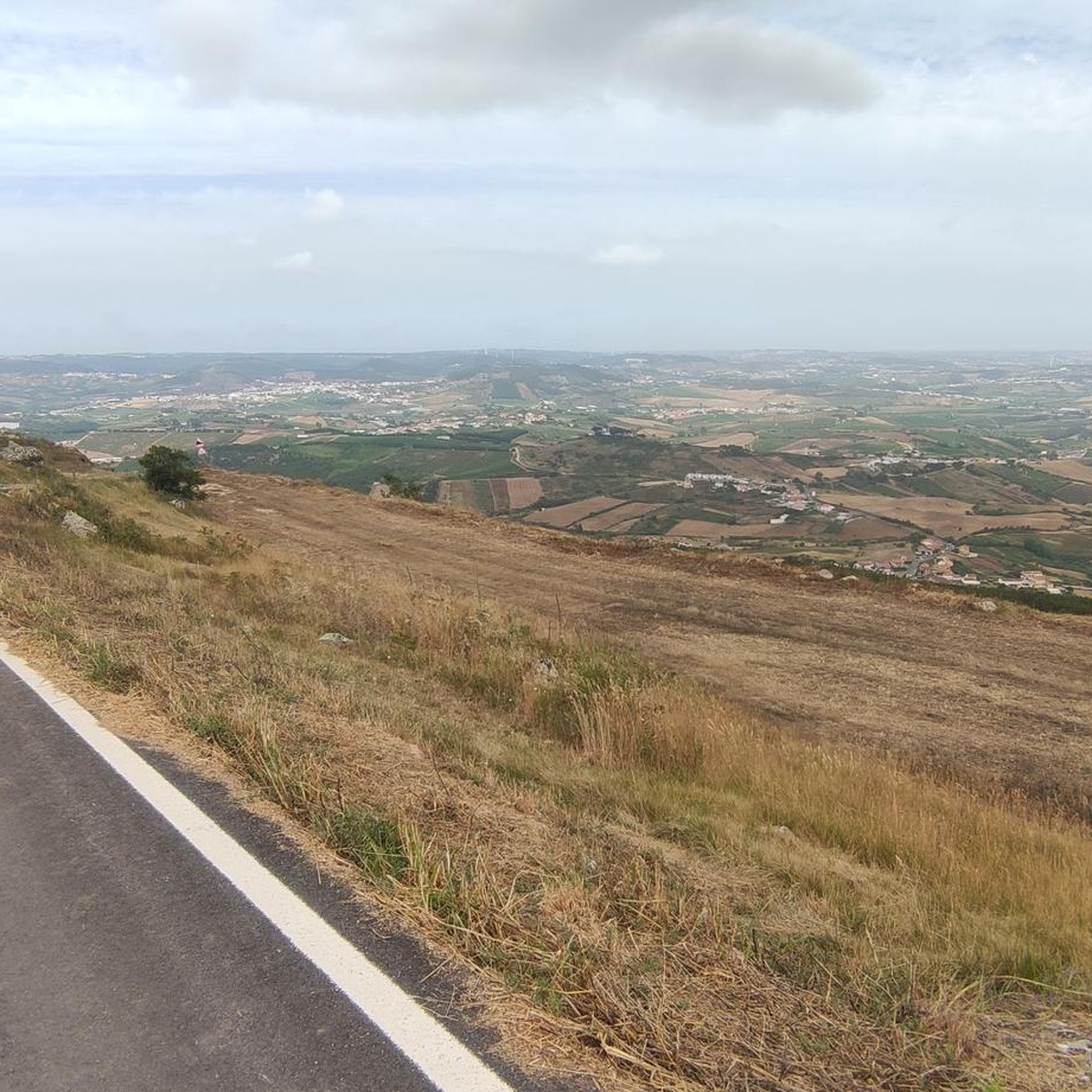
Gravel biking in Paisagem Protegida Local Das Serras Do Socorro E Archeira offers diverse landscapes and a network of trails. The region is characterized by prominent relief, including the Serras do Socorro, Archeira, Galharda, and Monte Deixo, providing varied inclines and descents. The terrain features a mosaic of agricultural fields, forests, and riparian structures, with elevated points offering panoramic views. This protected area near Torres Vedras provides a range of gravel biking experiences.
Best gravel bike trails in Paisagem Protegida…
Last updated: August 27, 2026
4.8
(4)
47
riders
Hard gravel ride. Very good fitness required. Mostly paved surfaces. Suitable for all skill levels.
4.5
(4)
28
riders
Moderate gravel ride. Good fitness required. Mostly paved surfaces. Suitable for all skill levels.

Sign up for free
2
riders
Hard gravel ride. Very good fitness required. Mostly paved surfaces. Suitable for all skill levels.
5.0
(1)
3
riders
92.0km
06:55
1,540m
1,540m
Hard gravel ride. Very good fitness required. Mostly paved surfaces. Suitable for all skill levels.
Our route recommendations are based on thousands of hikes, rides, and runs completed by other people on komoot.
Start today with a free account
Your next adventure awaits.
Login or Signup
Popular around Paisagem Protegida Local Das Serras Do Socorro E Archeira
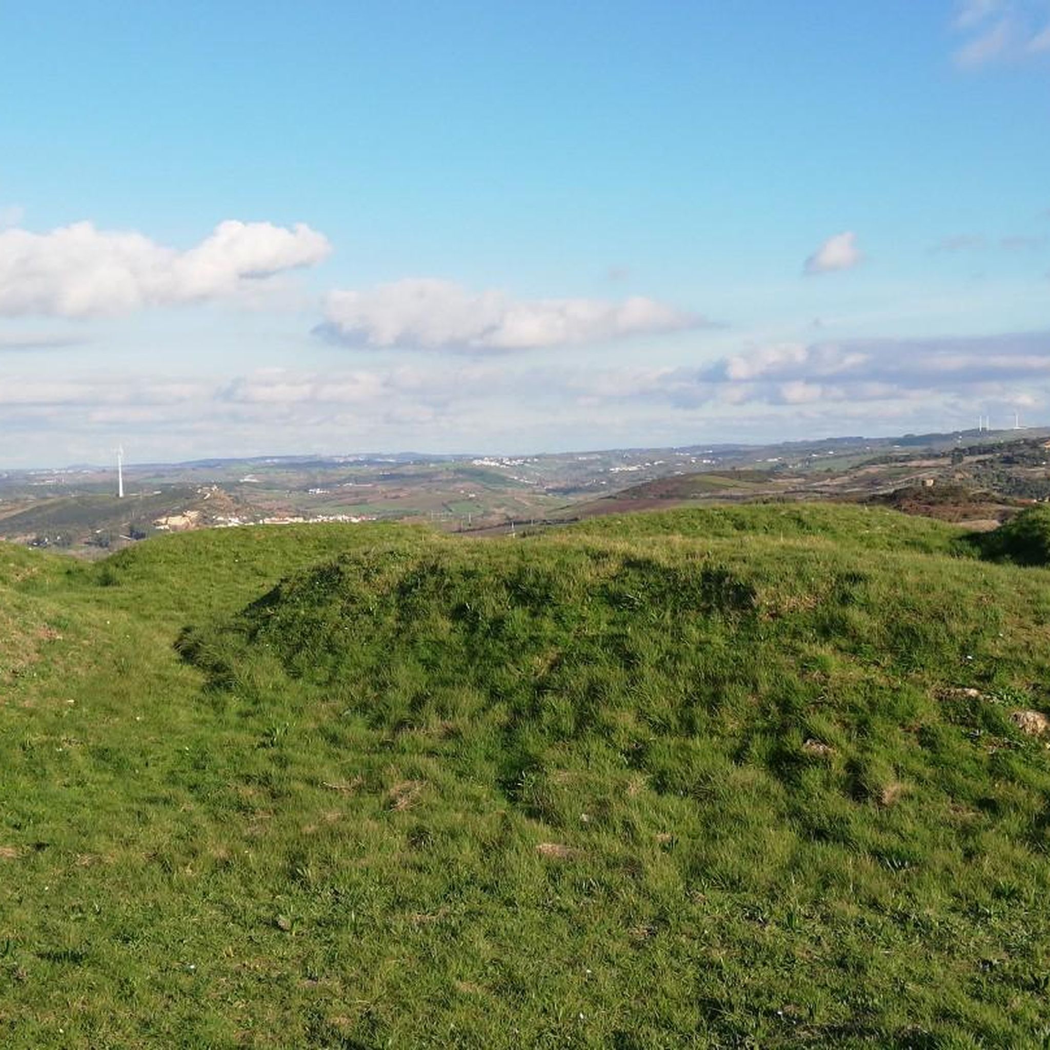
MTB Trails in Paisagem Protegida Local Das Serras Do Socorro E Archeira
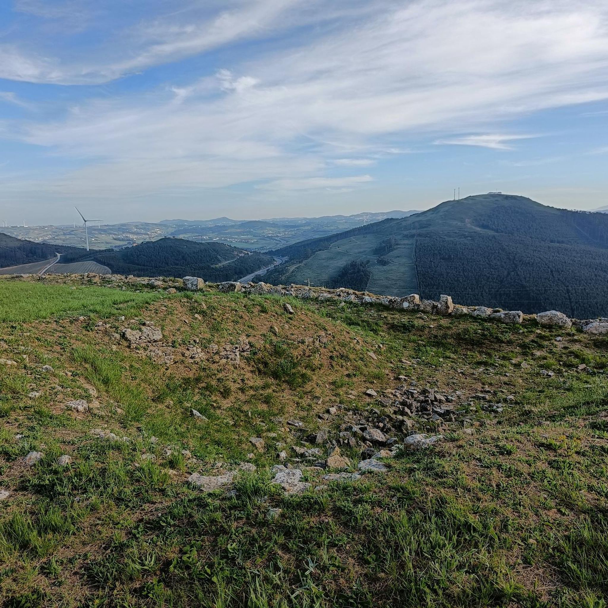
Hiking in Paisagem Protegida Local Das Serras Do Socorro E Archeira
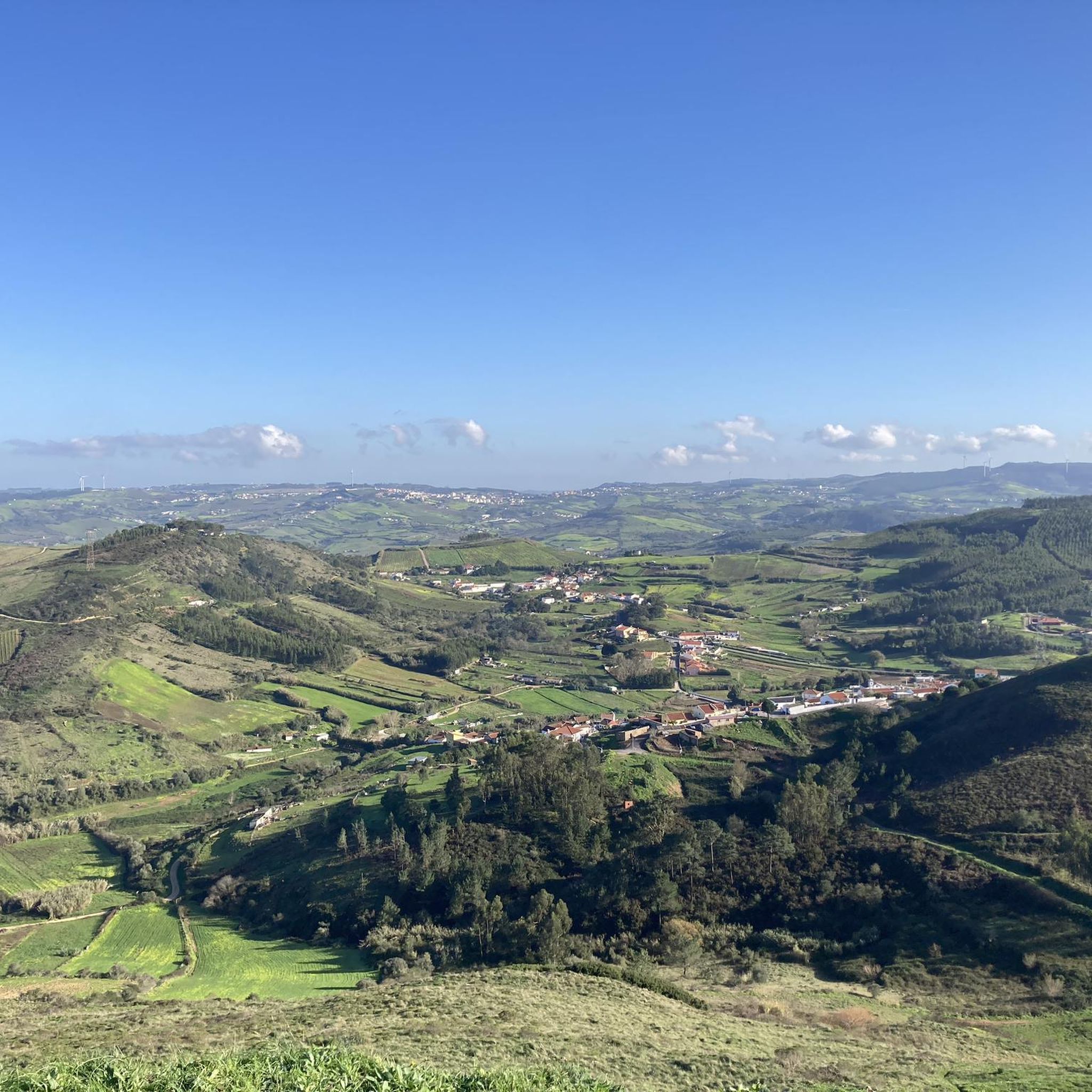
Running Trails in Paisagem Protegida Local Das Serras Do Socorro E Archeira
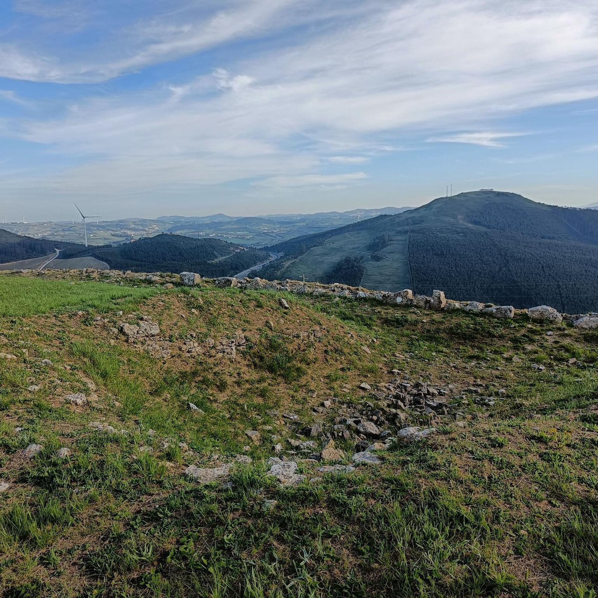
Cycling in Paisagem Protegida Local Das Serras Do Socorro E Archeira
Road Cycling Routes in Paisagem Protegida Local Das Serras Do Socorro E Archeira
Tips from the Community

Santa Cruz Beach is actually a collection of several beaches located in the municipality of Torres Vedras, in the western region of Portugal. It is a coastal area highly appreciated for its natural beauty, imposing cliffs, and excellent conditions for water sports such as surfing and bodyboarding. Main Characteristics Extensive Sandy Area: The Santa Cruz area has an extensive sandy area divided into several distinct beaches, some busier and others more wild. Cliffs and Landscape: The landscape is marked by cliffs and bluffs that provide stunning views of the Atlantic Ocean. Several viewpoints, such as the one at Praia do Mirante, offer privileged observation points, especially at sunset. Integrated Beaches: The beach complex includes: Azenha Beach: Located in the center of the village, it has an old watchtower and a natural pool that forms at low tide. Praia da Física, Praia do Pisão, Praia do Mirante and Praia da Vigia: Other beaches that make up the Santa Cruz coastline, each with its own specific characteristics. Praia Azul and Praia Formosa: Beaches that have been the target of coastal protection interventions and are also part of the complex. Surfing: The region is very popular among surfers and bodyboarders, due to the sea conditions and consistent waves. Infrastructure: The central area of Santa Cruz has good infrastructure, including parking, cafes, restaurants and, in some beaches, accessibility for people with reduced mobility. Activities and Attractions Beach Cycle Path: The beach is connected by a cycle path (part of the EuroVelo 1 route) that allows a pleasant ride between Porto Novo and Santa Cruz, with views of the dunes and cliffs. Sizandro Ecotrail: Santa Cruz Beach is close to the mouth of the Sizandro River, where the Sizandro Ecotrail begins, a popular route for walking and cycling towards Torres Vedras. Paragliding: The cliff area is known for being a suitable location for paragliding, especially at Santa Rita Beach. Events: The village of Santa Cruz and its beaches host events, including water sports championships and summer festivals. Santa Cruz Beach is a versatile destination, ideal for those seeking relaxation by the sea as well as those who prefer physical activities and contact with nature.
2
0
The Sizandro Ecotrail is a cycle and pedestrian path that connects the city of Torres Vedras to the Atlantic coast, following the course of the Sizandro River to its mouth. It is a very popular route for cyclists and walkers seeking to enjoy rural and coastal landscapes. Route and Characteristics Starting point: The ecotrail begins at the Regional Exhibition Park in the city of Torres Vedras. Destination: The main route continues to the mouth of the Sizandro River. Shortly before the mouth, there is a fork that connects to the Beach Cycle Path, which goes to Santa Cruz Beach and Porto Novo. Length: The route to the mouth is approximately 19 km. Connecting with other cycle paths can extend the total route to more than 44 km. Difficulty level: The ecotrail is quite flat, without major elevation changes, and uses wide and well-maintained roads, making it accessible to all fitness levels. What to see: The route passes through natural areas, with views of the river and agricultural fields, crossing some towns and villages, such as Ribeira de Pedrulhos, Ponte do Rol, Bordinheira and Aranha. Infrastructure: Along the way, there are rest areas and villages with cafes and other support points. The Sizandro Ecotrail is an excellent option for those who want to combine physical activity with exploring the beautiful landscapes of the interior and coast of the municipality of Torres Vedras.
1
0

The castle of Torres Vedras is an important part of Portuguese history. It was a strategic point in the fight against the Moors and later against Napoleon. The castle was conquered in 1147 by Afonso Henriques, the first king of Portugal.
2
0
Today I was lucky and was able to visit the ruins as well.
2
0

The Western Line is a route with beautiful landscapes.👍
1
0

Castelo de Torres Vedras is an imposing medieval fortress, with a history that dates back to Roman times and a significant role in the Napoleonic Wars (as part of the Lines of Torres Vedras). The castle represents an important historical heritage. If you want to stop here for a break you can explore its ancient walls and enjoy panoramic views of the city and the surrounding landscape.
0
0

A beautiful view back to Santa Cruz and the rocky outcrop. A small path leads south from the highest point toward Praia Azul.
5
0
The poet Antero de Quental often hiked here to gaze out at the sea. Indeed, from here you have a magnificent view of the entire country. In strong winds, you can see paragliders practically suspended in mid-air, as the updrafts are so powerful.
3
0
Frequently Asked Questions
How many gravel bike trails are available in Paisagem Protegida Local Das Serras Do Socorro E Archeira?
There are over 4 gravel bike routes documented in Paisagem Protegida Local Das Serras Do Socorro E Archeira on komoot, offering a variety of experiences for different skill levels.
What kind of terrain can I expect on gravel bike trails in this region?
The region is characterized by prominent relief, including the Serras do Socorro, Archeira, Galharda, and Monte Deixo, providing varied inclines and descents. You'll encounter a mosaic of agricultural fields, forests, and riparian structures along watercourses, with elevated points offering panoramic views. The trails range from moderate to difficult.
Are there any family-friendly gravel biking options in Paisagem Protegida Local Das Serras Do Socorro E Archeira?
While many routes feature significant elevation, the area does offer varied terrain. For a moderate experience, consider routes like the Eco Caminho Bridge – Bridge over the Sizandro River loop from Torres Vedras, which is 41.5 km long and offers a mix of terrain suitable for a varied cycling experience. Always check the route details for specific difficulty and elevation to ensure it suits your family's abilities.
What historical sites or landmarks can I see along the gravel bike trails?
The area is rich in history, integrating with the Historical Route of the Lines of Torres. You can visit forts like Forte da Feiteira, which is part of the Chapel of Saint George – Forte da Feiteira loop from Jerumelo. At the top of Serra do Socorro, you'll find the Ermida de Nossa Senhora do Socorro, a hermitage with historical significance. Other notable sites include Forte da Archeira and traditional windmills like Moinho Swing.
Are there any routes with significant elevation gain for a challenging ride?
Yes, several routes offer significant elevation gain. For instance, the Chapel of Saint George – Forte da Feiteira loop from Jerumelo is a difficult 92.0 km trail with over 1500 meters of elevation gain. Another challenging option is the Alto da Vela Viewpoint – Bridge over the Sizandro River loop from Torres Vedras, which covers 57.3 km with over 700 meters of ascent.
What are the best times of year to go gravel biking in this protected landscape?
The Paisagem Protegida Local Das Serras Do Socorro E Archeira is suitable for outdoor activities throughout much of the year. Spring and autumn generally offer the most pleasant temperatures for cycling. While winter can be an option, it's always advisable to check local weather forecasts, especially for rain, as trails can become muddy. Summers can be hot, so early morning or late afternoon rides are recommended during peak season.
Where can I find panoramic views along the gravel bike trails?
The elevated terrain, especially from the Serra do Socorro, provides admirable panoramic views that extend to the distant ocean, framing the rolling countryside. Many routes traverse these higher points, offering rewarding stops. The Alto da Vela Viewpoint – Bridge over the Sizandro River loop from Torres Vedras specifically highlights a viewpoint in its name, suggesting excellent scenic opportunities.
What natural features or biodiversity can I observe while cycling?
The region boasts diverse ecosystems, including agricultural fields, forests, and riparian structures. You might spot legally protected flora like narcissus and yellow lily, as well as plants of high patrimonial value such as rose and thyme. The area is also home to diverse fauna, including small mammals, butterflies, and various bird species. Orchid occurrences are frequent in riparian zones.
Are there any circular gravel bike routes available?
Yes, the region features several circular routes. Examples include the Eco Caminho Bridge – Bridge over the Sizandro River loop from Torres Vedras and the Castelo de Torres Vedras – Roads and Vineyards of Freiria loop from Torres Vedras. These loops allow you to start and end your ride at the same point, making logistics easier.
What do other gravel bikers enjoy most about this region?
The area is highly rated by the komoot community, with an average score of 4.75 stars from over 9 reviews. Reviewers often praise the diverse landscapes, the mix of challenging climbs and scenic descents, and the opportunity to explore both natural beauty and historical sites like the forts of the Lines of Torres.
Is there parking available for cyclists near the trails?
While specific parking areas for cyclists are not detailed in every route description, the region is well-established for nature tourism. Many routes start from towns like Torres Vedras or Jerumelo, where public parking facilities are generally available. It's advisable to check local parking options in the starting towns before your ride.
Are there cafes or restaurants near the gravel bike trails for refreshments?
The Paisagem Protegida Local Das Serras Do Socorro E Archeira is situated near Torres Vedras, a larger town that offers various cafes, restaurants, and accommodation options. While specific establishments directly on the trails are not listed, you can find places to refuel and relax in the surrounding towns and villages before or after your ride.
Can I use public transport to reach the gravel biking areas with my bike?
Torres Vedras is a central hub for the region. Public transport options, such as buses, connect Torres Vedras to surrounding areas. However, policies regarding bikes on public transport can vary. It's recommended to check with local transport providers in advance about their bike carriage rules and availability, especially for longer journeys or during peak times.
Most popular routes in Paisagem Protegida Local Das Serras Do Socorro E Archeira
Most popular attractions in Paisagem Protegida Local Das Serras Do Socorro E Archeira

Get inspired with the komoot mobile app


Explore more
Browse the best Gravel rides in other regions.
