The best gravel rides in Rheinknie Alter Kopfgrund
4.7
(65)
319
riders
52
rides
Gravel biking in Rheinknie Alter Kopfgrund offers diverse terrain within a nature reserve characterized by riparian forest stands, wet meadows, and quarry lakes. The region's proximity to the Rhine River provides characteristic riverine landscapes and accessible paths. These varied natural features, including agricultural and forestry roads, create an engaging environment for gravel biking. The area's trails are suitable for handling a range of surfaces, from fine gravel to forest paths.
Best gravel bike trails in Rheinknie Alter Kopfgrund
- The most popular gravel bike trail is Am Flußufer der L'Ill – Narrow Forest Trails loop from Drusenheim, a 30.6 miles (49.2 km) trail that takes 2 hours 52 minutes to complete. This route navigates through varied forest paths and open landscapes.
- Another top favourite among local gravel bikers is Off on the ferry – Greffern Rhine Ferry loop from Drusenheim, an easy 14.2 miles (22.9 km) path. This trail offers views of the Rhine River and includes a ferry crossing.
- Local gravel bikers also love the Path along the Rhine – Greffern Rhine Ferry loop from Rheinmünster, a 26.3 miles (42.3 km) trail leading through riverine landscapes, often completed in about 2 hours 13 minutes.
- Gravel biking in Rheinknie Alter Kopfgrund is defined by riparian forests, open meadows, and the Rhine floodplains. The network offers options for different ability levels, from easy loops to more challenging routes.
- The routes in Rheinknie Alter Kopfgrund are highly rated by the komoot community with an average score of 4.9 stars from over 40 reviews. More than 200 gravel bikers have used komoot to explore Rheinknie Alter Kopfgrund's varied terrain.
Last updated: October 20, 2026
7
riders
Easy gravel ride. Great for any fitness level. Mostly paved surfaces. Suitable for all skill levels.
7
riders
26.3km
01:17
40m
40m
Easy gravel ride. Great for any fitness level. Mostly paved surfaces. Suitable for all skill levels.

4.9
(7)
19
riders
27.2km
01:30
40m
40m
Easy gravel ride. Great for any fitness level. Mostly paved surfaces. Suitable for all skill levels.
4.5
(4)
12
riders
51.9km
02:57
70m
70m
Moderate gravel ride. Good fitness required. Mostly paved surfaces. Suitable for all skill levels.
7
riders
37.9km
02:41
50m
50m
Moderate gravel ride. Good fitness required. Mostly paved surfaces. Suitable for all skill levels.
Get access to more routes and recommendations from other explorers.
Already have an account?
Our route recommendations are based on thousands of hikes, rides, and runs completed by other people on komoot.
Start today with a free account
Your next adventure awaits.
Tips from the Community

There's always something going on here.
0
0
Great view over the Rhine and Strasbourg
0
0

Quiet connection without cars 👍🏻
0
0

wonderful cycle path in France from Selz to Drusenheim then to Greffern
0
0

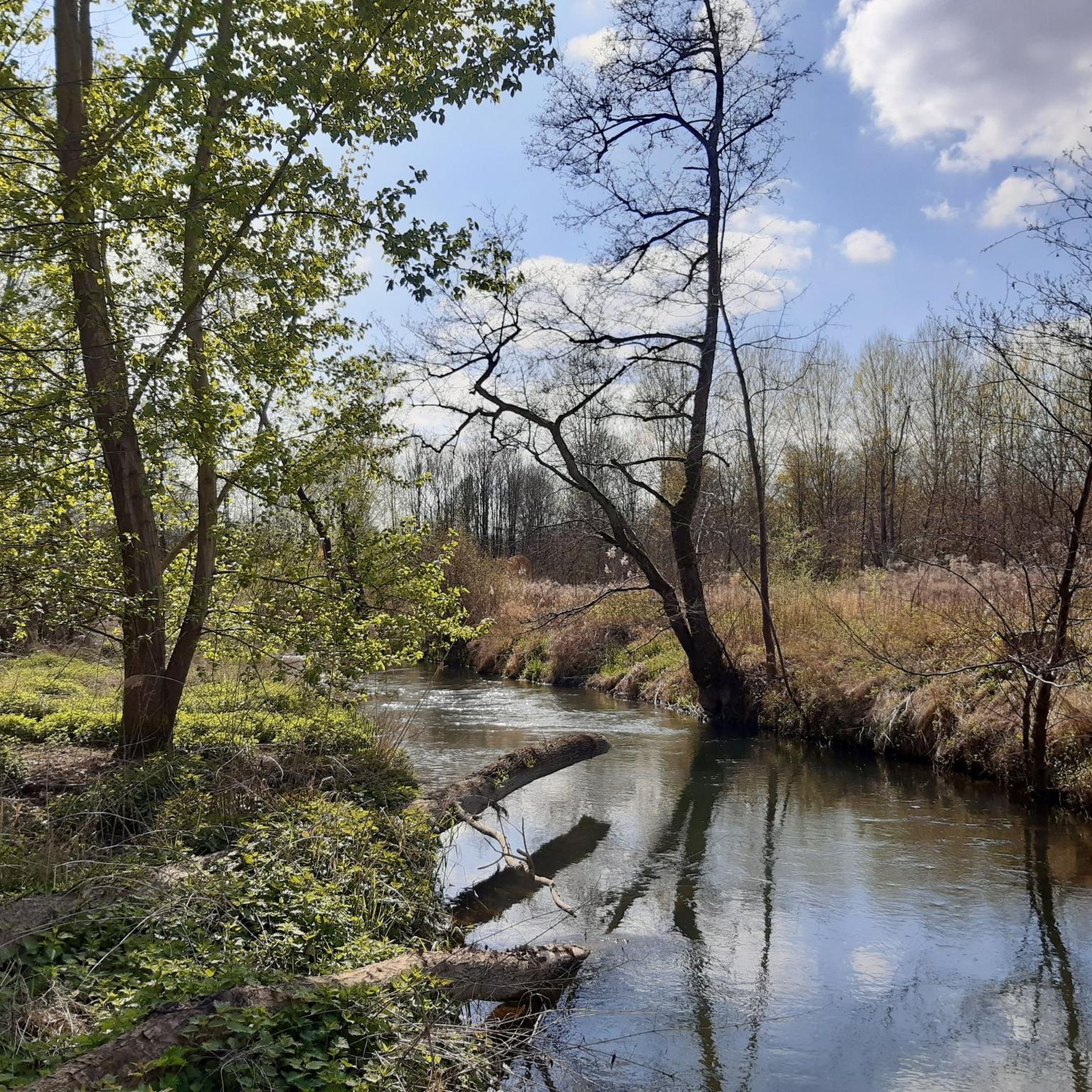
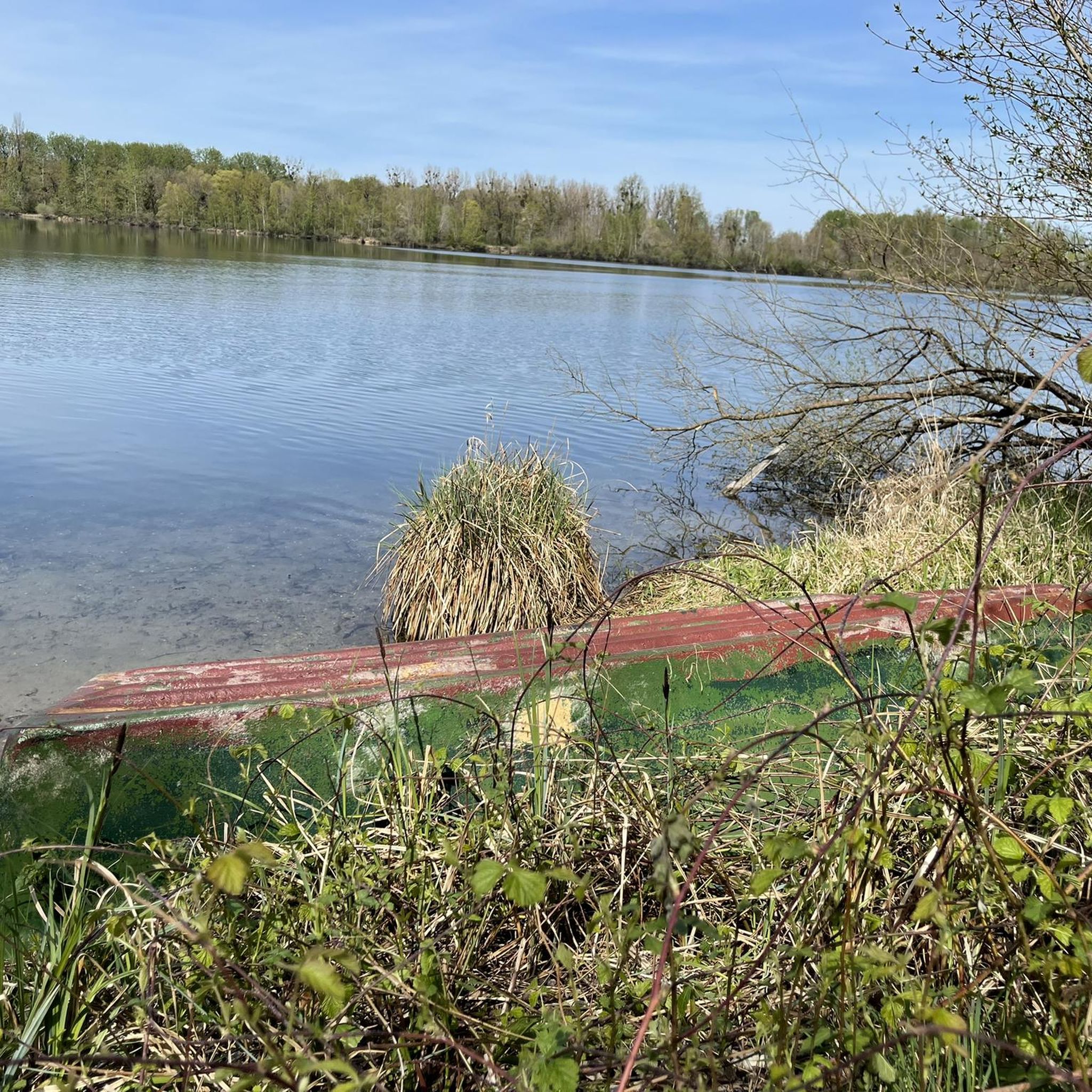
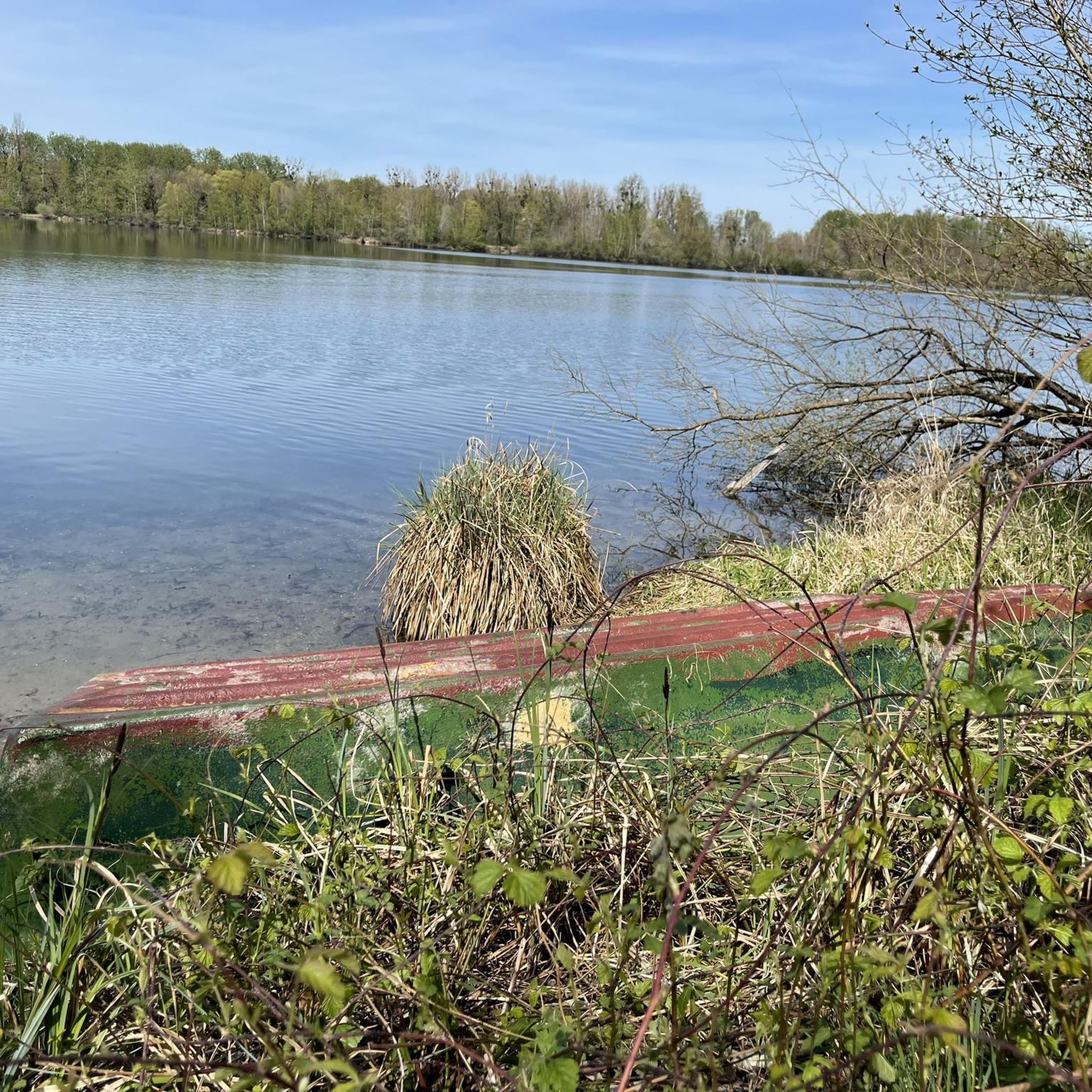
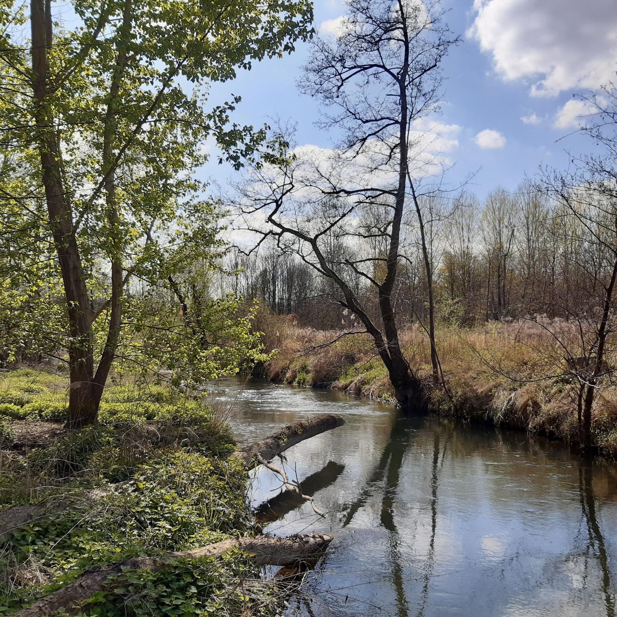
A beautiful atmosphere with a great reflection on the Oberaltwassersee.
2
0
The Drusus ferry operates on the Rhine between Greffern and Drusenheim in Alsace at Rhine kilometer 321. The crossing from France to Germany was free.
6
0

The stairs are very interesting to look at and there are information boards for adults and children
0
0
Between the Rhine bridges is the border with France
0
0
Frequently Asked Questions
What kind of terrain can I expect on gravel bike trails in Rheinknie Alter Kopfgrund?
The Rheinknie Alter Kopfgrund nature reserve offers a diverse mix of terrain ideal for gravel biking. You'll find naturally zoned riparian forest stands, wet meadows, and paths along quarry lakes and the Rhine River. The trails often include fine gravel, forest paths, and agricultural or forestry roads, providing a varied and engaging experience.
How many gravel bike trails are available in Rheinknie Alter Kopfgrund?
There are over 70 gravel bike routes available in Rheinknie Alter Kopfgrund. These routes cater to various skill levels, with approximately 25 easy, 32 moderate, and 13 difficult options to choose from.
Are there any easy gravel bike routes suitable for beginners or families?
Yes, Rheinknie Alter Kopfgrund has several easy gravel bike routes. An excellent option for beginners or families is the Greffern Marina – Greffern Rhine Ferry loop from Lichtenau. This 23.8 km (14.8 miles) path offers gentle terrain and scenic views of the Greffern quarry lake and the Rhine River.
What are some notable natural features or landmarks I can see along the gravel trails?
The region is rich in natural beauty and interesting landmarks. You can explore the Orchid Meadow, especially beautiful in May, or visit the Ziegersee quarry lake. The Drusus Ferry (Greffern–Drusenheim) offers a unique cross-border experience and views of the Rhine. You can also find the View of the Old Rhine at Alter Kopfgrund and historical Westwall Bunker Remains.
Are there any longer or more challenging gravel bike routes for experienced riders?
For experienced riders seeking a longer challenge, consider the Shaded Cycle Path – La Wantzenau Wetland loop from Sessenheim. This difficult route spans approximately 125.2 km (77.8 miles) and offers an extensive exploration of the region's diverse landscapes.
What do other gravel bikers say about the trails in Rheinknie Alter Kopfgrund?
The gravel biking routes in Rheinknie Alter Kopfgrund are highly regarded by the komoot community, boasting an average rating of 4.8 stars from over 70 reviews. More than 350 gravel bikers have explored the varied terrain, often praising the diverse landscapes and accessible paths through forests, meadows, and along the Rhine.
Are there any circular gravel bike routes available?
Yes, many of the gravel bike routes in Rheinknie Alter Kopfgrund are designed as loops. For example, the popular Am Flußufer der L'Ill – Narrow Forest Trails loop from Drusenheim is a 49.2 km (30.6 miles) circular trail navigating through varied forest paths and open landscapes. Another option is the Greffern Rhine Ferry – Greffern Marina loop from Mittelgrund Helmlingen, which is 30.7 km (19.1 miles) and leads through scenic riverine landscapes.
Can I bring my dog on the gravel bike trails in Rheinknie Alter Kopfgrund?
While the nature reserve offers many accessible paths, specific regulations regarding dogs on bike trails can vary. It's generally advisable to keep dogs on a leash, especially in nature reserve areas, to protect wildlife and ensure a pleasant experience for all users. Always check local signage for specific rules.
What is the best season for gravel biking in Rheinknie Alter Kopfgrund?
The diverse landscapes of Rheinknie Alter Kopfgrund are enjoyable throughout much of the year. Spring (especially May for the orchid bloom) and autumn offer pleasant temperatures and beautiful scenery. Summer can be great, but be mindful of warmer weather. Winter riding is possible, but trail conditions may vary with rain or frost.
Is there parking available near the gravel bike trails?
Yes, parking is generally available at various access points to the nature reserve and near trailheads. Specific parking areas are often indicated on local maps or can be found by checking the starting points of individual komoot tours.
How can I access the gravel trails using public transport?
Public transport options to the Rheinknie Alter Kopfgrund area typically involve regional buses connecting to nearby towns like Greffern or Drusenheim. From these points, you can often cycle directly to the trailheads. It's recommended to check local bus schedules and bike transport policies in advance.
Are there any cafes or places to stop for refreshments along the routes?
While the nature reserve itself is primarily natural, you can find cafes and restaurants in the nearby towns and villages such as Greffern or Drusenheim. Planning your route to pass through these areas will allow for convenient refreshment stops.
What is the typical length of gravel bike trails in Rheinknie Alter Kopfgrund?
The lengths of gravel bike trails in Rheinknie Alter Kopfgrund vary significantly. You can find shorter, easy loops around 20-30 km (12-18 miles), such as the Off on the ferry – Greffern Rhine Ferry loop from Drusenheim at 22.9 km (14.2 miles). Longer and more challenging routes can extend over 100 km (60 miles), offering options for all preferences.
Most popular routes in Rheinknie Alter Kopfgrund
Most popular attractions in Rheinknie Alter Kopfgrund

Get inspired with the komoot mobile app


Explore more
Browse the best Gravel rides in other regions.
