The best gravel rides in Daschendorfer Forst
4.6
(14)
127
riders
55
rides
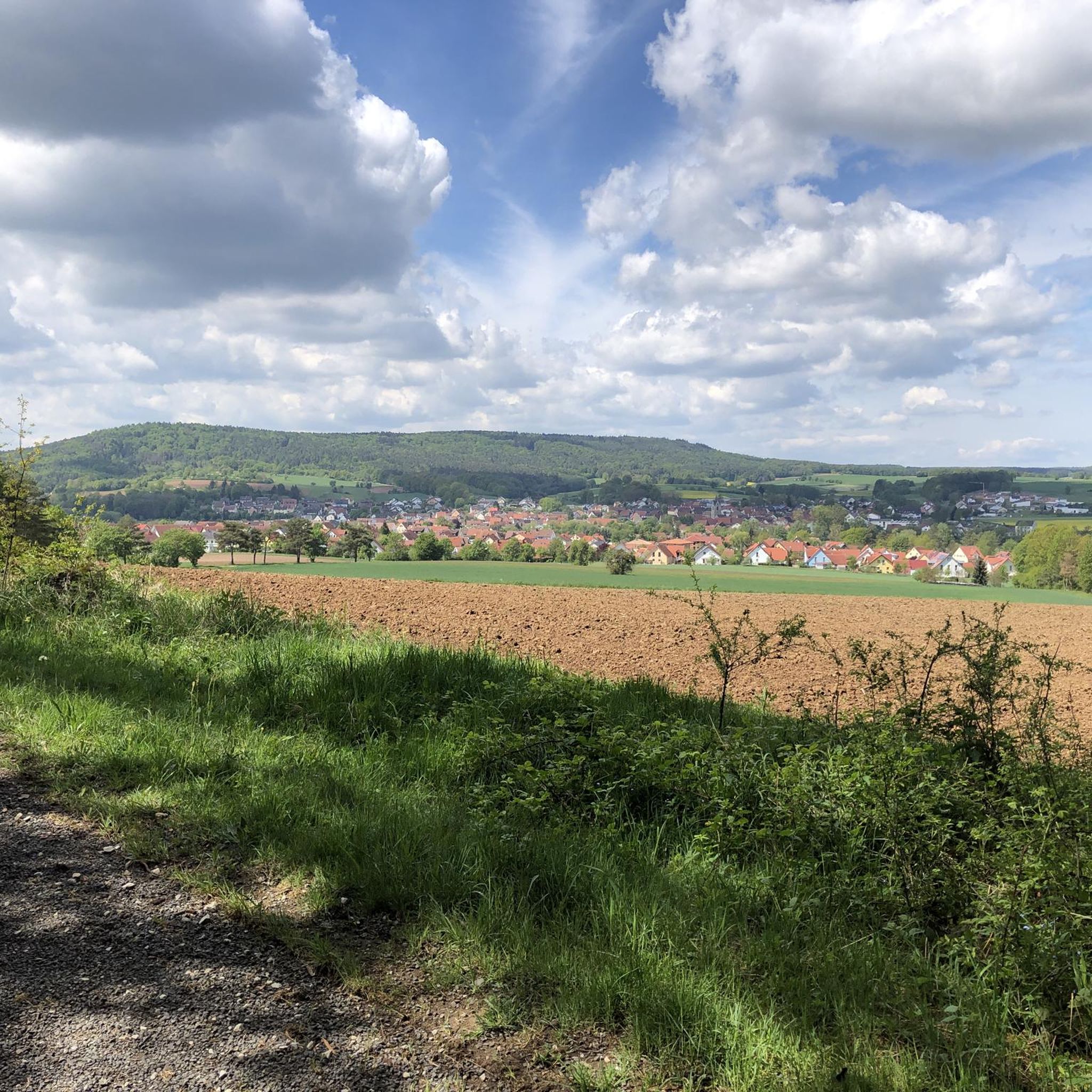
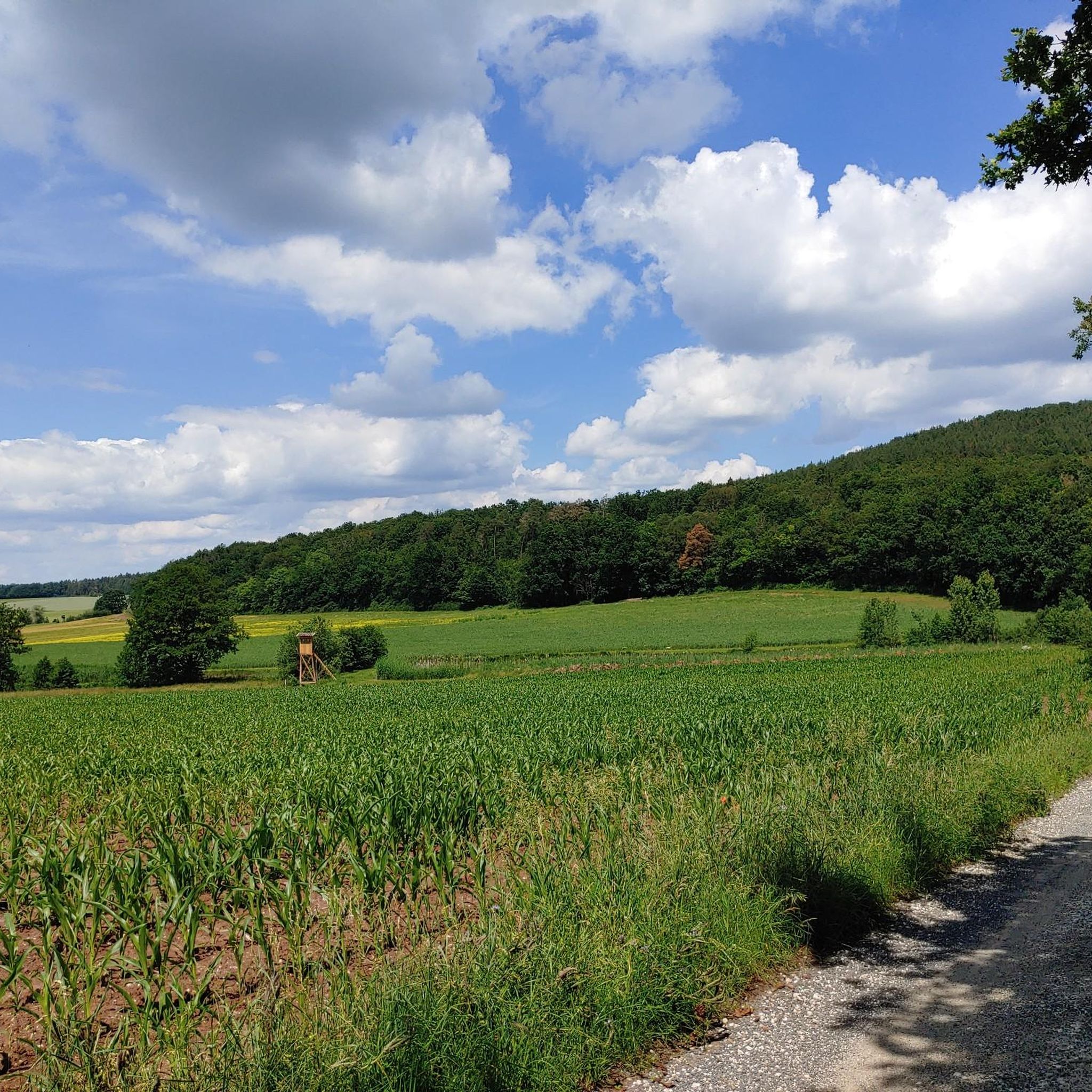
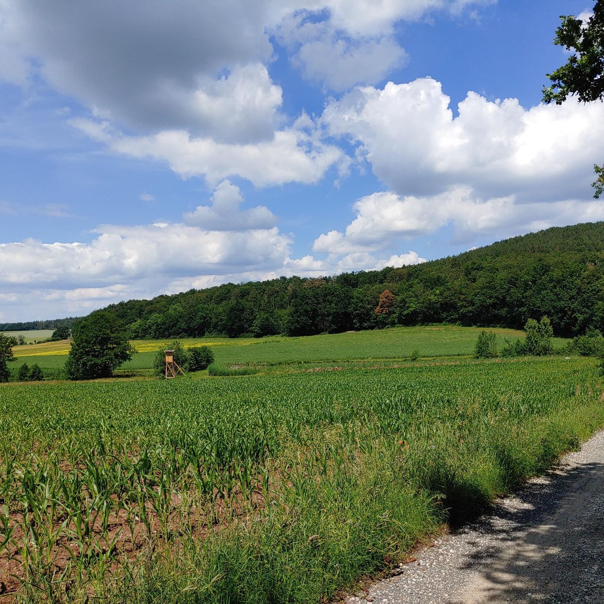
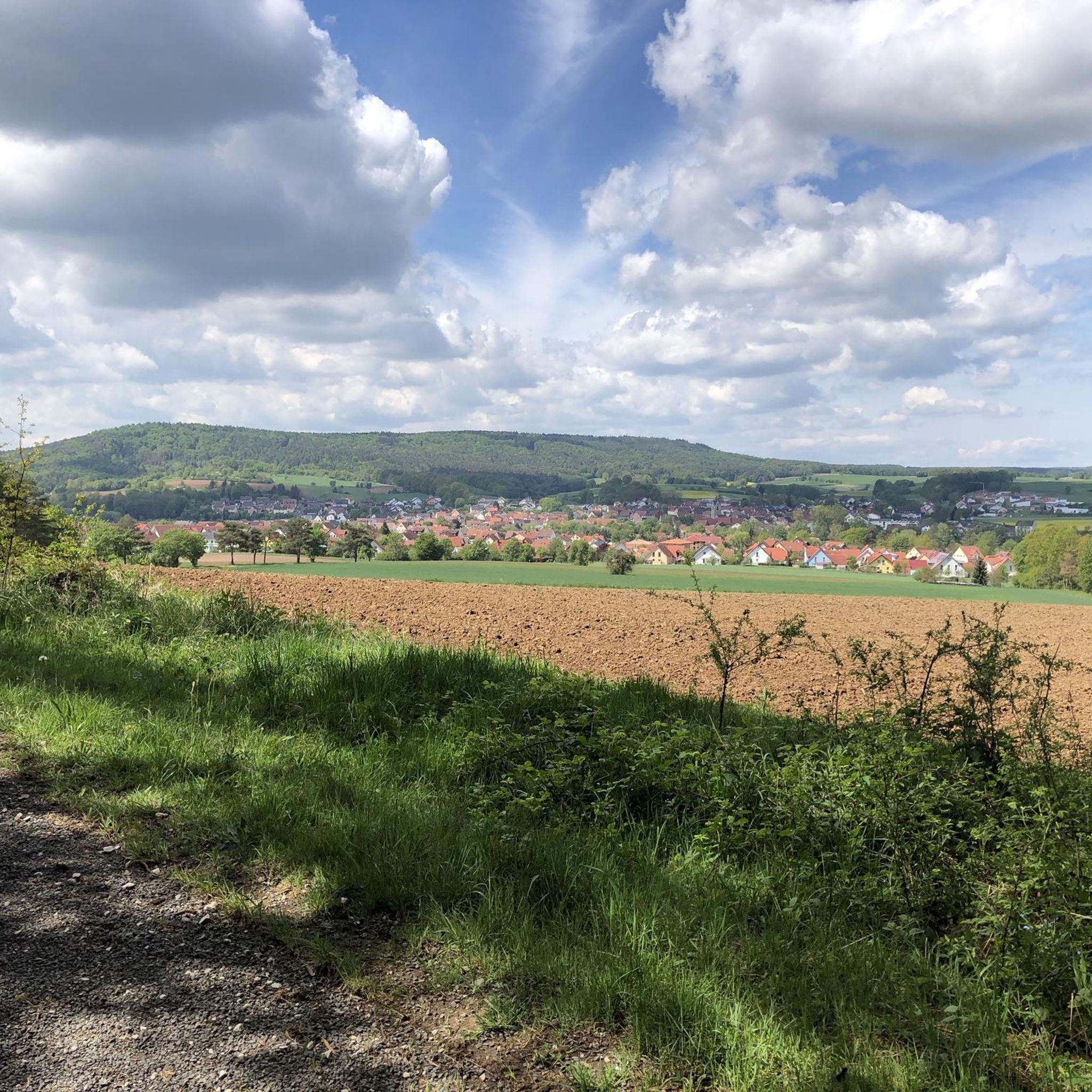
Gravel biking in Daschendorfer Forst offers a network of trails through dense woodlands and varied terrain. The region, a Natura 2000 area, is characterized by extensive forest cover on the Kraiberg ridge, providing shaded paths and a mix of elevations suitable for gravel cycling. Riders can expect a combination of forest roads, gravel tracks, and some paved sections connecting different areas. The landscape features rolling hills and open clearings, offering diverse riding experiences within this natural environment.
Best gravel bike…
Last updated: August 27, 2026
3
riders
58.3km
03:40
710m
710m
Hard gravel ride. Very good fitness required. Mostly paved surfaces. Suitable for all skill levels.
9
riders
45.2km
02:27
360m
360m
Moderate gravel ride. Good fitness required. Mostly paved surfaces. Suitable for all skill levels.

Sign up for free
1
riders
55.5km
04:05
500m
550m
Hard gravel ride. Very good fitness required. Mostly paved surfaces. Suitable for all skill levels.
5.0
(1)
11
riders
45.5km
03:04
710m
710m
Hard gravel ride. Very good fitness required. Mostly paved surfaces. Suitable for all skill levels.
5.0
(1)
7
riders
82.4km
05:42
1,340m
1,340m
Hard gravel ride. Very good fitness required. You may need to push your bike for some segments of this route.
Get access to more routes and recommendations from other explorers.
Sign up for free
Already have an account?
Our route recommendations are based on thousands of hikes, rides, and runs completed by other people on komoot.
Start today with a free account
Your next adventure awaits.
Login or Signup
Tips from the Community

Classy trail with 2.3 tricky spots;
0
0
Striking building on the already beautiful Marktstraße;
0
0
At this size, it should not be overlooked, even on the faster descent;
0
0


The old town of Königsberg impresses with its wonderful half-timbered houses.
12
0
A new experience every time.
10
0

The Baunach River flows downstream into the Main River. Surrounding the area are gravel pits.
3
0
The castle, towering 150 meters above the Weisach Valley, is a widely visible symbol of power and history. First documented in 1126, it served as the ancestral seat of the Lords of Stein for centuries. In 1895, it passed to the Barons of Rotenhan and finally to the Haßberge district in 1972. Noteworthy are the mighty double-towered gate and the picturesque remains of the late Gothic chapel. Source and further information: https://www.maroldsweisach.de/burgruine-altenstein
16
1
Frequently Asked Questions
How many gravel bike trails are there in Daschendorfer Forst?
Daschendorfer Forst offers a wide selection of gravel bike trails, with over 80 routes available for exploration. These range from moderate paths to more challenging rides, ensuring options for various skill levels.
What are the typical lengths and difficulties of gravel bike trails in Daschendorfer Forst?
The trails in Daschendorfer Forst vary significantly in length and difficulty. You'll find routes like the moderate View of Bamberg from Kraiberg – View of the Itzgrund loop from Baunach, which is about 12 miles (19.5 km), alongside more challenging options such as the Küpser Linde – View from the Hohe Metze loop from Baunach, spanning over 36 miles (58 km) with significant elevation gain. Overall, the region features 39 moderate and 40 difficult routes.
Are there beginner-friendly gravel bike trails in Daschendorfer Forst?
While many routes in Daschendorfer Forst are moderate to difficult, there are a couple of easier options available. These trails typically feature less elevation and smoother surfaces, making them suitable for those new to gravel biking or looking for a more relaxed ride. Look for routes marked as 'easy' on komoot.
What options are available for experienced gravel bikers seeking a challenge?
Experienced gravel bikers will find plenty of challenging routes in Daschendorfer Forst. Nearly half of the trails, 40 to be exact, are rated as difficult. These routes often feature steady climbs, varied forest paths, and longer distances, such as the Itz River Cycle Path – Untersiemau Castle loop from Baunach, which covers over 37 miles (60 km) with considerable elevation.
Where can I park when visiting Daschendorfer Forst for gravel biking?
Parking is generally available at various entry points to Daschendorfer Forst, particularly in and around the towns like Baunach and Breitengüßbach, which serve as common starting points for many routes. Specific parking information is often detailed on individual route pages on komoot.
Is Daschendorfer Forst accessible by public transport for gravel bikers?
Daschendorfer Forst can be accessed via public transport, primarily through regional train and bus services connecting to nearby towns such as Baunach and Breitengüßbach. It's advisable to check local transport schedules and bike carriage policies in advance, especially for trains.
Are there family-friendly gravel bike routes in Daschendorfer Forst?
For families, it's best to look for the easier-rated routes within Daschendorfer Forst. These trails typically have less demanding terrain and shorter distances. Always check the route details on komoot for elevation profiles and surface types to ensure it's suitable for all family members.
Can I find circular gravel bike trails in Daschendorfer Forst?
Yes, many of the gravel bike trails in Daschendorfer Forst are designed as circular routes, allowing you to start and end at the same point. Examples include the View of the Main River – Rennweg Above Lauter loop from Breitengüßbach and the View of Tiefenellern – Eulenstein Rock Formation loop from Breitengüßbach, which are popular choices for their convenience.
What can I see along the gravel bike trails in Daschendorfer Forst?
Along the gravel bike trails, you can discover various points of interest. Keep an eye out for natural features like the Spring in the Hassberge Nature Park, or historical sites such as Burgstall Haßberge. The region's dense woodlands also offer scenic views and opportunities to observe local flora and fauna.
When is the best time of year to go gravel biking in Daschendorfer Forst?
The best time for gravel biking in Daschendorfer Forst is typically from spring through autumn (April to October). During these months, the weather is generally mild, and the forest trails are in good condition. Autumn offers particularly beautiful scenery with changing leaf colors.
What do other gravel bikers enjoy the most about gravel biking in Daschendorfer Forst?
The area is highly rated by the komoot community, with an average score of 4.6 stars from around 60 reviews. Reviewers often praise the diverse terrain, the extensive network of trails through dense woodlands, and the scenic views, highlighting the varied riding experiences available.
Are there places to stop for refreshments or food near the gravel bike trails?
While Daschendorfer Forst itself is primarily forest, the surrounding towns and villages like Baunach and Breitengüßbach offer various cafes, bakeries, and restaurants where you can refuel. It's a good idea to plan your route to pass through these areas if you intend to stop for refreshments.
Most popular routes in Daschendorfer Forst
Most popular attractions in Daschendorfer Forst

Get inspired with the komoot mobile app


Explore more
Browse the best Gravel rides in other regions.
