Waldhof-Standorfsberg Bei Grüsselbach
Waldhof-Standorfsberg Bei Grüsselbach
The best gravel rides in Waldhof-Standorfsberg Bei Grüsselbach
4.7
(6)
47
riders
4
rides
Gravel biking in Waldhof-Standorfsberg Bei Grüsselbach offers a network of trails through varied landscapes. The region is characterized by its rolling hills, river valleys such as the Ulster River, and scenic viewpoints. Gravel routes often connect small villages with natural features like Bornmühle Pond and the Grüsselbach stream. The terrain typically involves a mix of unpaved roads and forest paths, suitable for gravel bikes.
Best gravel bike trails in Waldhof-Standorfsberg Bei Grüsselbach
- The most popular gravel bike trail is Bridge…
Last updated: October 20, 2026
2
riders
27.6km
01:52
410m
410m
Moderate gravel ride. Good fitness required. Mostly paved surfaces. Suitable for all skill levels.
1
riders
18.5km
01:15
390m
390m
Moderate gravel ride. Good fitness required. Mostly paved surfaces. Suitable for all skill levels.

2
riders
15.1km
00:56
180m
180m
Moderate gravel ride. Good fitness required. Mostly paved surfaces. Suitable for all skill levels.
3
riders
19.2km
01:10
290m
290m
Moderate gravel ride. Good fitness required. Mostly paved surfaces. Suitable for all skill levels.
4.7
(6)
39
riders
53.8km
03:10
470m
470m
Hard gravel ride. Very good fitness required. Mostly paved surfaces. Suitable for all skill levels.
Our route recommendations are based on thousands of hikes, rides, and runs completed by other people on komoot.
Start today with a free account
Your next adventure awaits.
Popular around Waldhof-Standorfsberg Bei Grüsselbach

Tips from the Community

Magnificently laid out shelter with a beautiful panoramic bench and a service station for bicycles.
0
0

The first documented mention of Geisa dates back to the year 817. In 1302, the designation of city appears for the first time in a document. The chronicler once described the old town, picturesquely beautiful, as a "strawberry in a moss basket" on a long ridge (280 to 322 m above sea level) between the mountain tops of the Vordere Rhön. The towers of the parish church, the town hall and the Schlossplatz ensemble, the historically grown arrangement of residential buildings in conjunction with the approx. 1000 m long town fortifications and the park-like designed summit of the Gangolfiberg with an ancient court and the architecturally historically valuable cemetery chapel "St. Gangolf" with an external pulpit, shape a romantically dreamy image. Source: https://www.thueringen.info/ort/geisa/
1
0
The 529 m high Rockenstuhl is the landmark of the Geisaer Land and is located about 5 km south of Geisa between the Ulster and Geisa valleys. At the foot of the mountain is the five-meter-high "Kreuz der Geiserämter" (Cross of the Geisa Offices), which was solemnly consecrated during the medieval festival in 2006. The Geisaer Amt with its razed farms is depicted on a basalt surface.
1
0
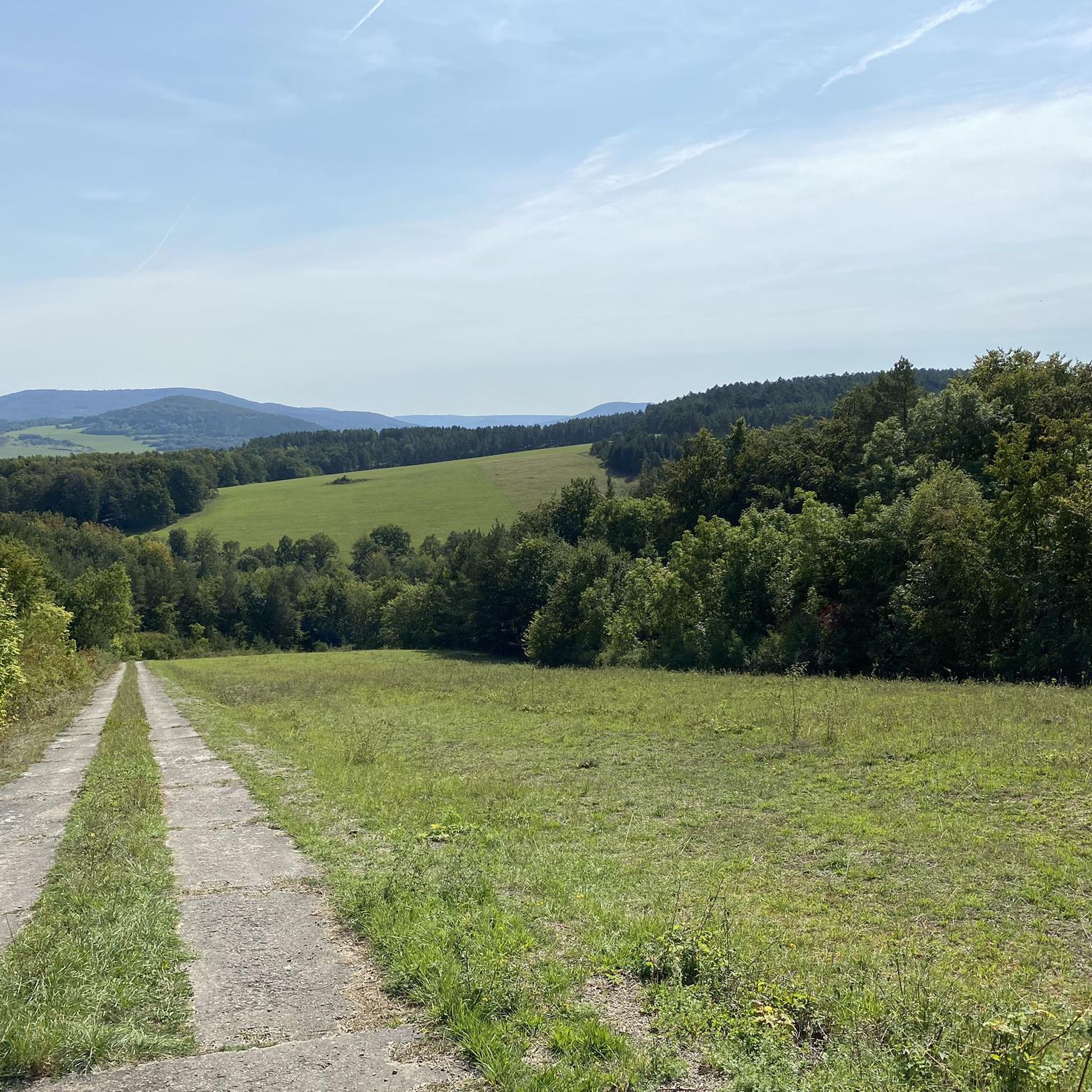
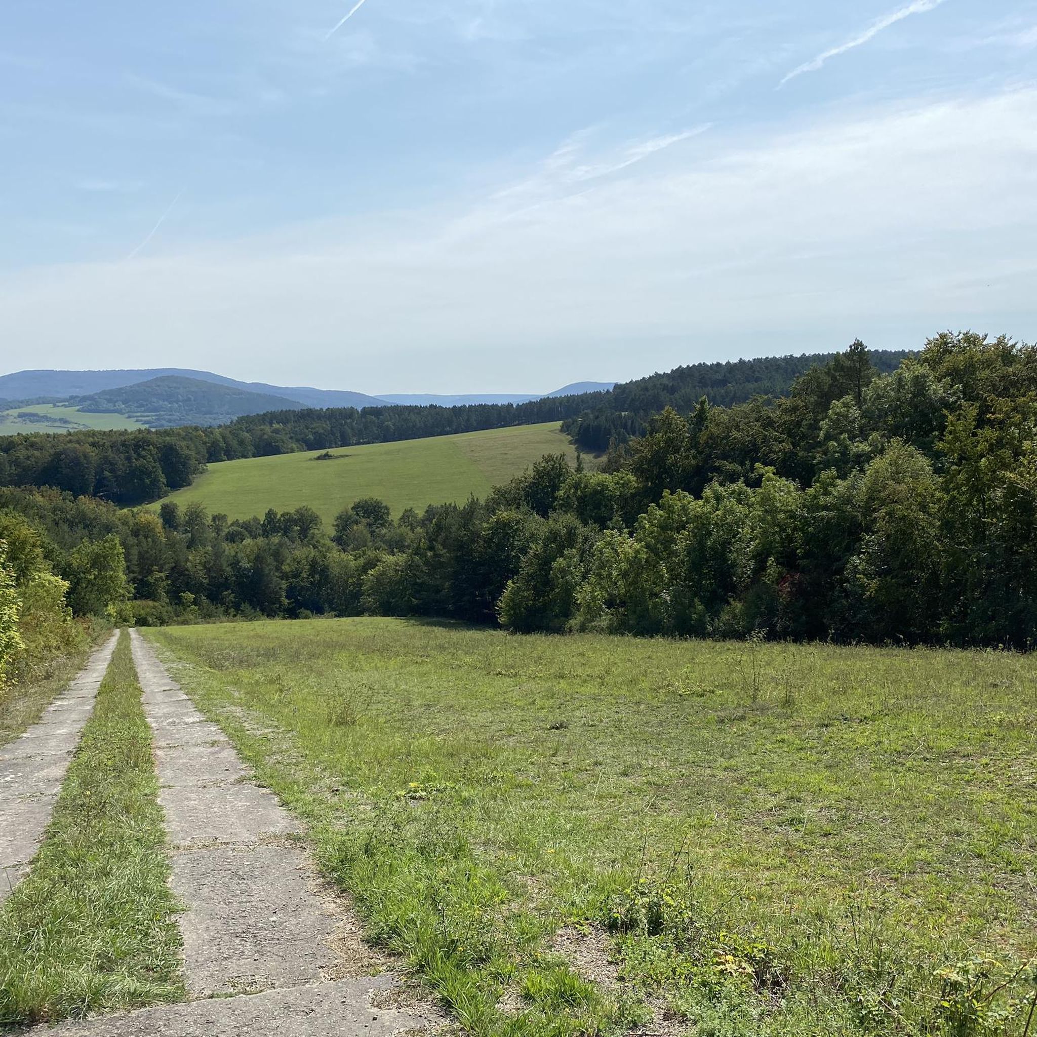
Beautiful viewpoint with two benches and a view across to Hessen.
1
0

New since 2026, there is a service station directly at the refuge where you can carry out minor repairs on your bike, as well as finally a waste container.
1
0

Beautiful old town in Geisa.
0
0
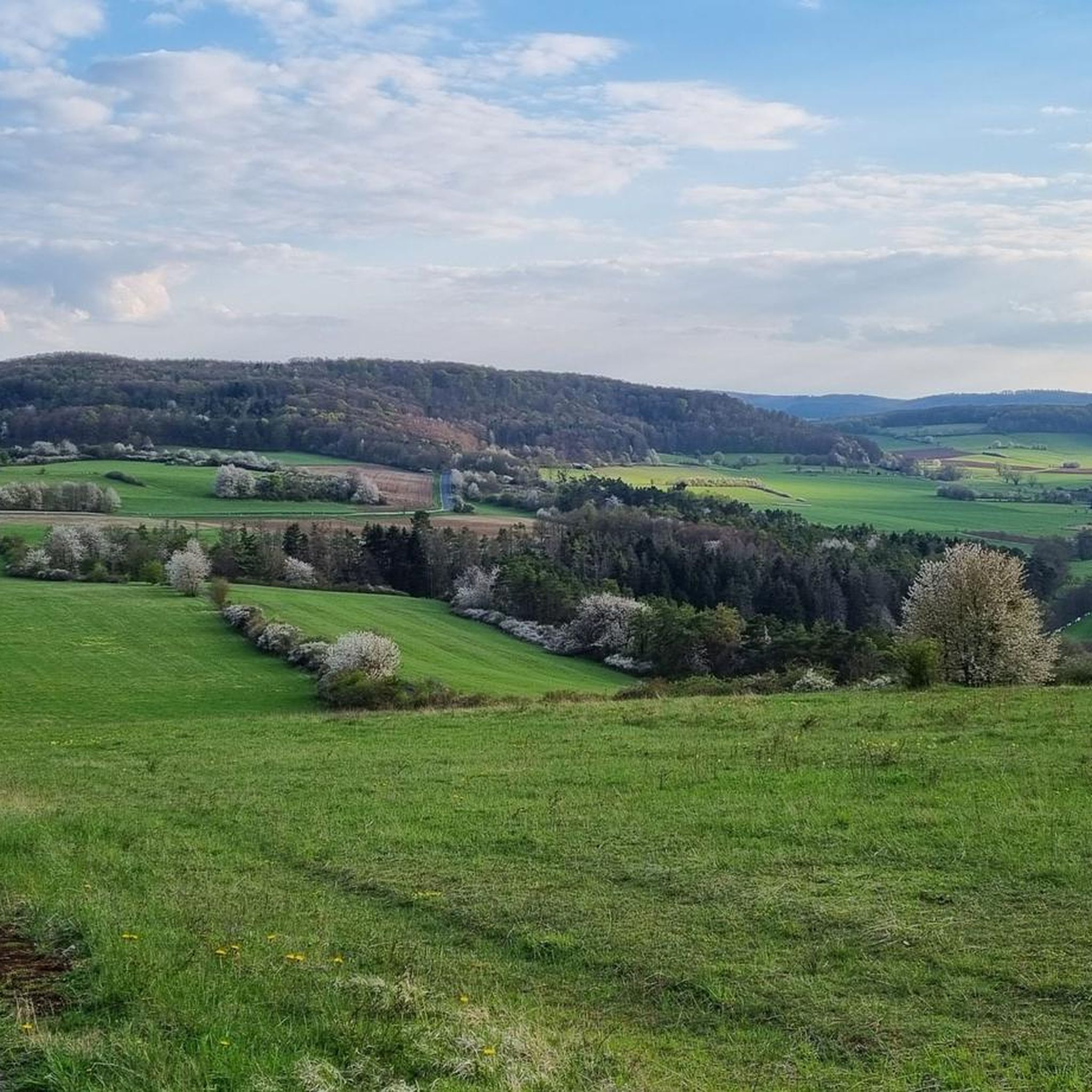
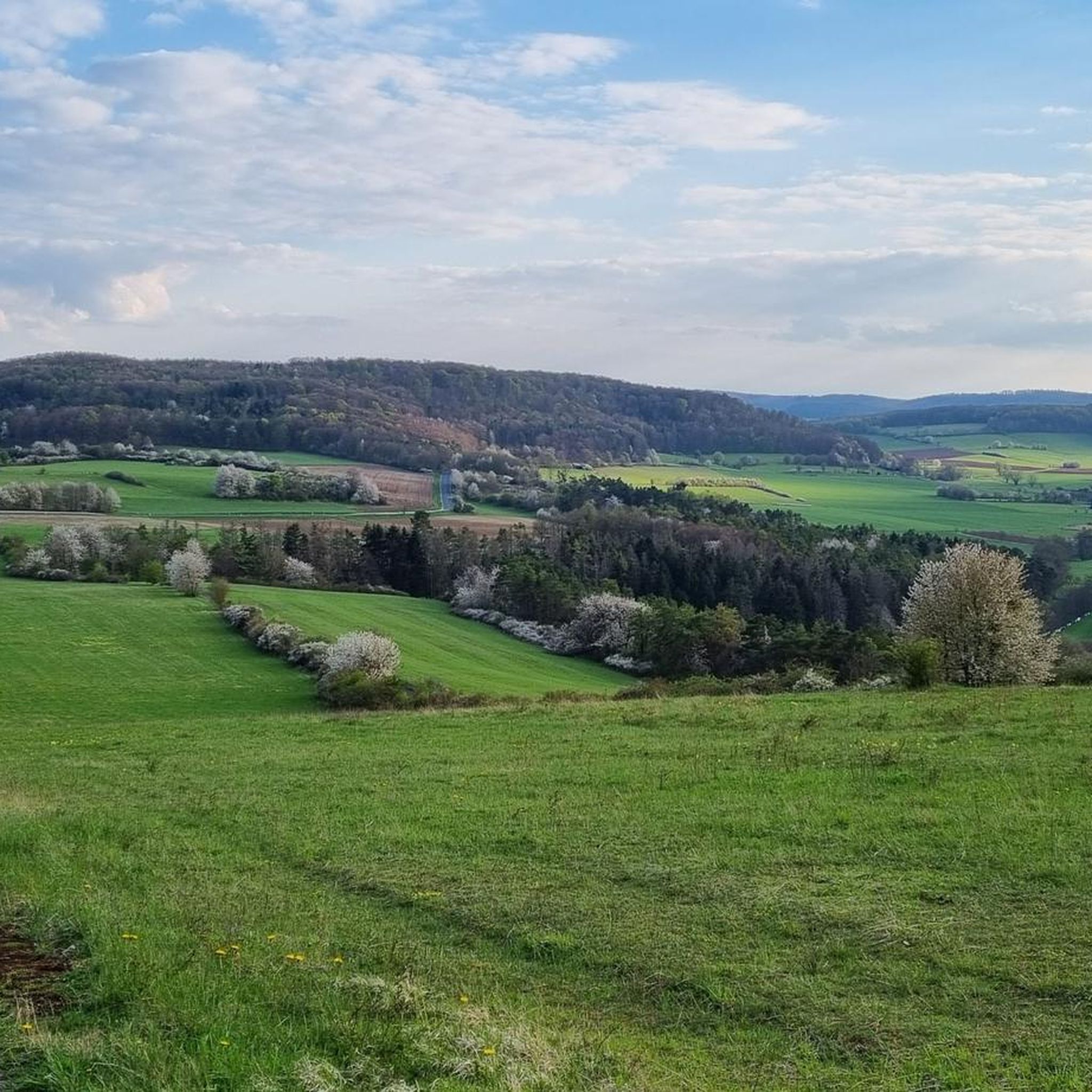
Beautiful view of the Rhön.
0
0

Frequently Asked Questions
How many gravel bike trails are available in Waldhof-Standorfsberg Bei Grüsselbach?
There are currently 9 gravel bike trails documented on komoot for Waldhof-Standorfsberg Bei Grüsselbach, offering a variety of experiences through rolling hills and river valleys.
Are there any easy gravel bike routes suitable for beginners or families?
While all routes in this guide are rated moderate or difficult, the region's terrain of rolling hills and forest paths can be enjoyed by those with some gravel biking experience. For a moderate option that connects a stream crossing with a scenic pond, consider the Bridge Over the Grüsselbach – Bornmühle Pond (Rasdorf) loop from Buttlar.
What kind of scenery can I expect on the gravel bike trails?
The gravel bike trails in Waldhof-Standorfsberg Bei Grüsselbach are known for their varied landscapes, including picturesque river valleys like the Ulster River, rolling hills, and open countryside. You'll encounter natural features such as Bornmühle Pond and the Grüsselbach stream, along with scenic viewpoints.
Are there any circular gravel bike routes in the area?
Yes, many of the gravel bike routes in Waldhof-Standorfsberg Bei Grüsselbach are designed as loops. For example, the Geiserämter Kreuz Viewpoint – Ulster River near Geisa loop from Geisa offers a circular path featuring both a prominent viewpoint and stretches along the Ulster River.
What are some notable landmarks or attractions I can see along the trails?
Along the gravel bike trails, you can discover several interesting points. The Geiserämter Kreuz Viewpoint is a prominent feature on some routes. Other nearby attractions include the Military Vehicle and Helicopter Exhibition at Point Alpha and the historic Waldhof Estate.
What is the typical duration for a gravel bike ride in this region?
Ride durations vary depending on the route and your pace. For instance, the Ulster River near Geisa – Geiserämter Kreuz Viewpoint loop from Geisa typically takes about 1 hour 15 minutes to complete, while longer routes can take over 2 hours.
Where can I find parking for gravel biking trails in Waldhof-Standorfsberg Bei Grüsselbach?
Many routes in the region start from villages like Buttlar or Geisa, where public parking options are generally available. It's advisable to check the specific tour details on komoot for recommended starting points and parking information for your chosen route.
What do other gravel bikers say about the trails in Waldhof-Standorfsberg Bei Grüsselbach?
The komoot community highly rates the gravel biking experience here, with an average score of 4.8 stars from over 9 reviews. Riders often praise the varied terrain, the scenic river valleys, and the well-maintained unpaved roads and forest paths.
Are there any hidden gem gravel trails or less-trafficked routes?
For a route that explores both riverine landscapes and a scenic overlook, the Ulster River near Geisa – Geiserämter Kreuz Viewpoint loop from Geisa is a local favorite that offers a slightly different perspective than the most popular trails, providing a sense of discovery.
What is the best time of year to go gravel biking in Waldhof-Standorfsberg Bei Grüsselbach?
The region's rolling hills and forest paths are generally enjoyable from spring through autumn, when the weather is mild and the natural scenery is at its best. While winter riding is possible, conditions can be challenging due to snow or ice, so checking local weather forecasts is recommended.
Are there any cafes or places to get refreshments near the gravel bike trails?
The routes often connect small villages such as Geisa and Buttlar. These villages typically offer local cafes or inns where you can find refreshments and take a break during or after your ride. It's a good idea to check opening hours in advance, especially in smaller communities.
Most popular routes in Waldhof-Standorfsberg Bei Grüsselbach
Most popular attractions in Waldhof-Standorfsberg Bei Grüsselbach

Get inspired with the komoot mobile app


Explore more
Browse the best Gravel rides in other regions.
