The best gravel rides in Barbierbeekvallei En Bolakkergebied
4.3
(71)
606
riders
33
rides
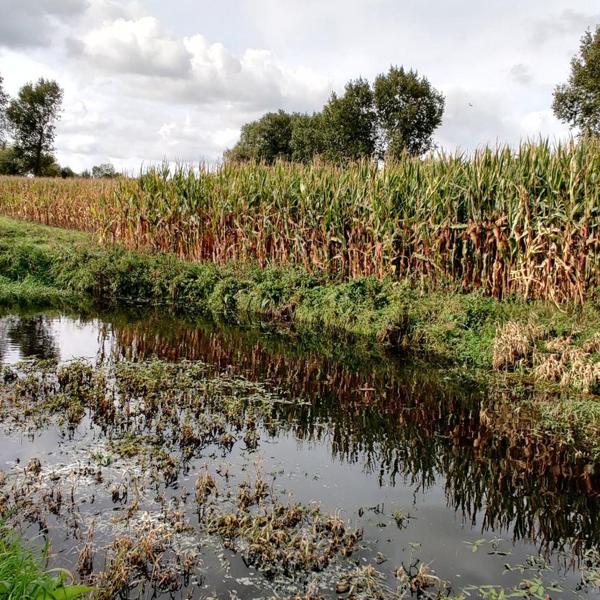
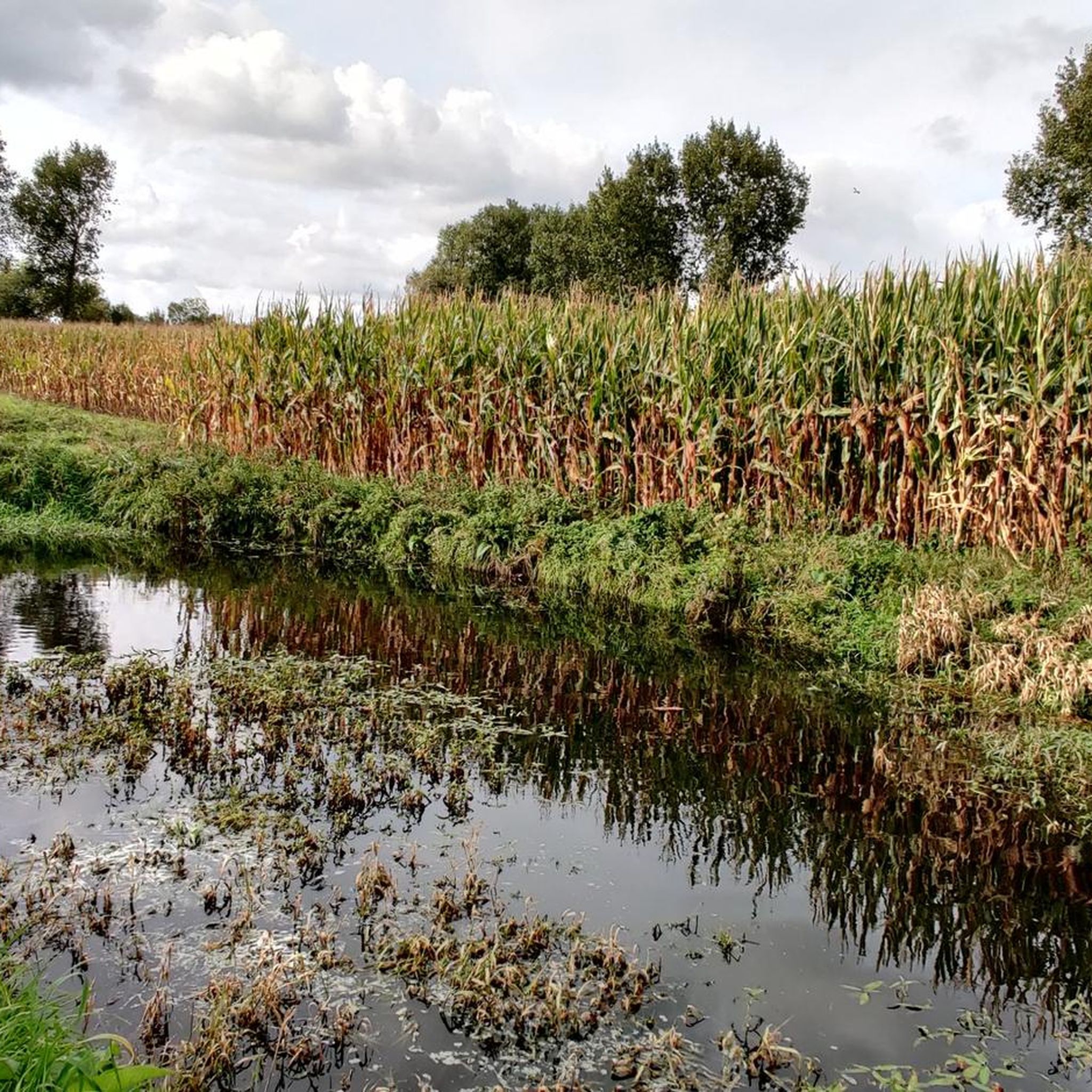
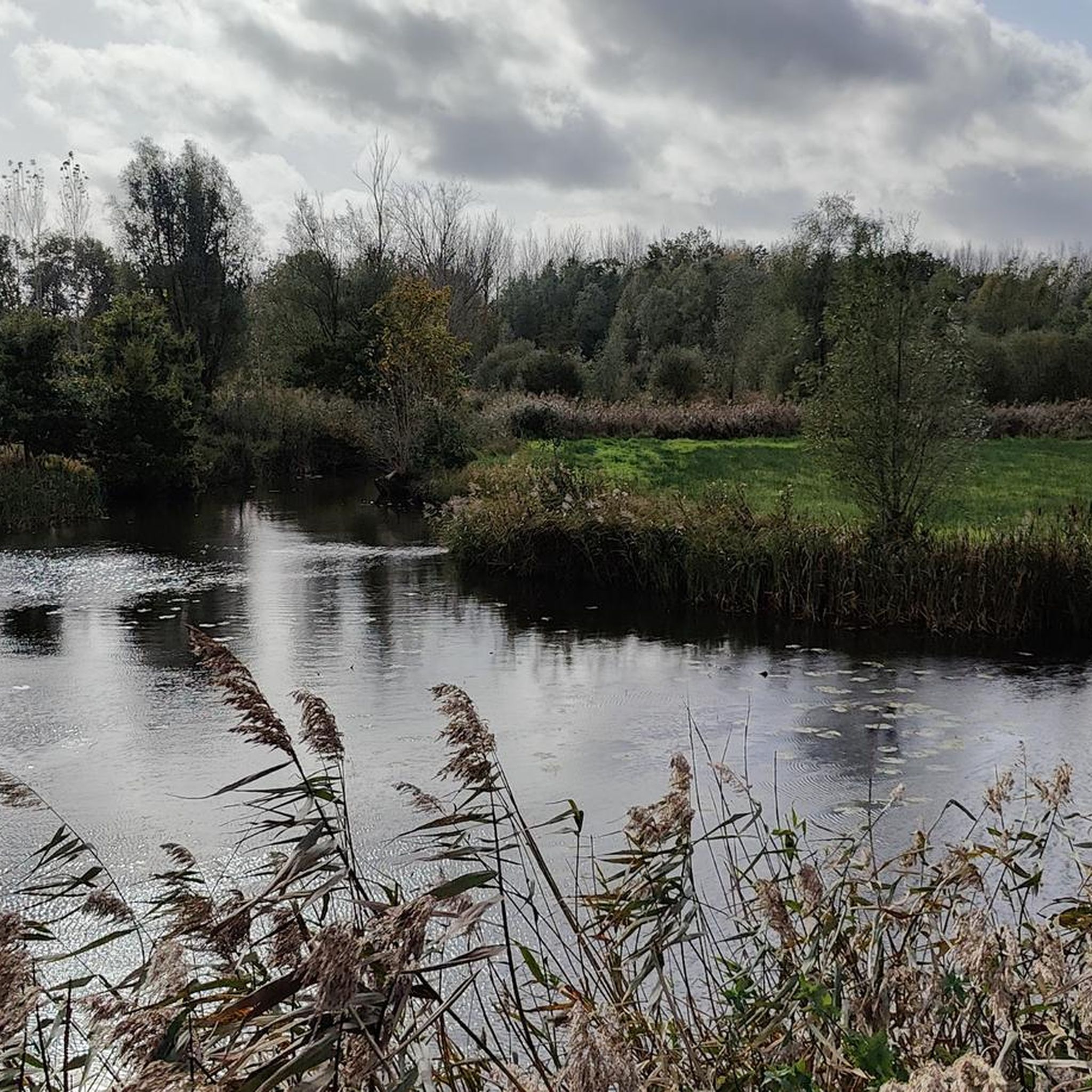
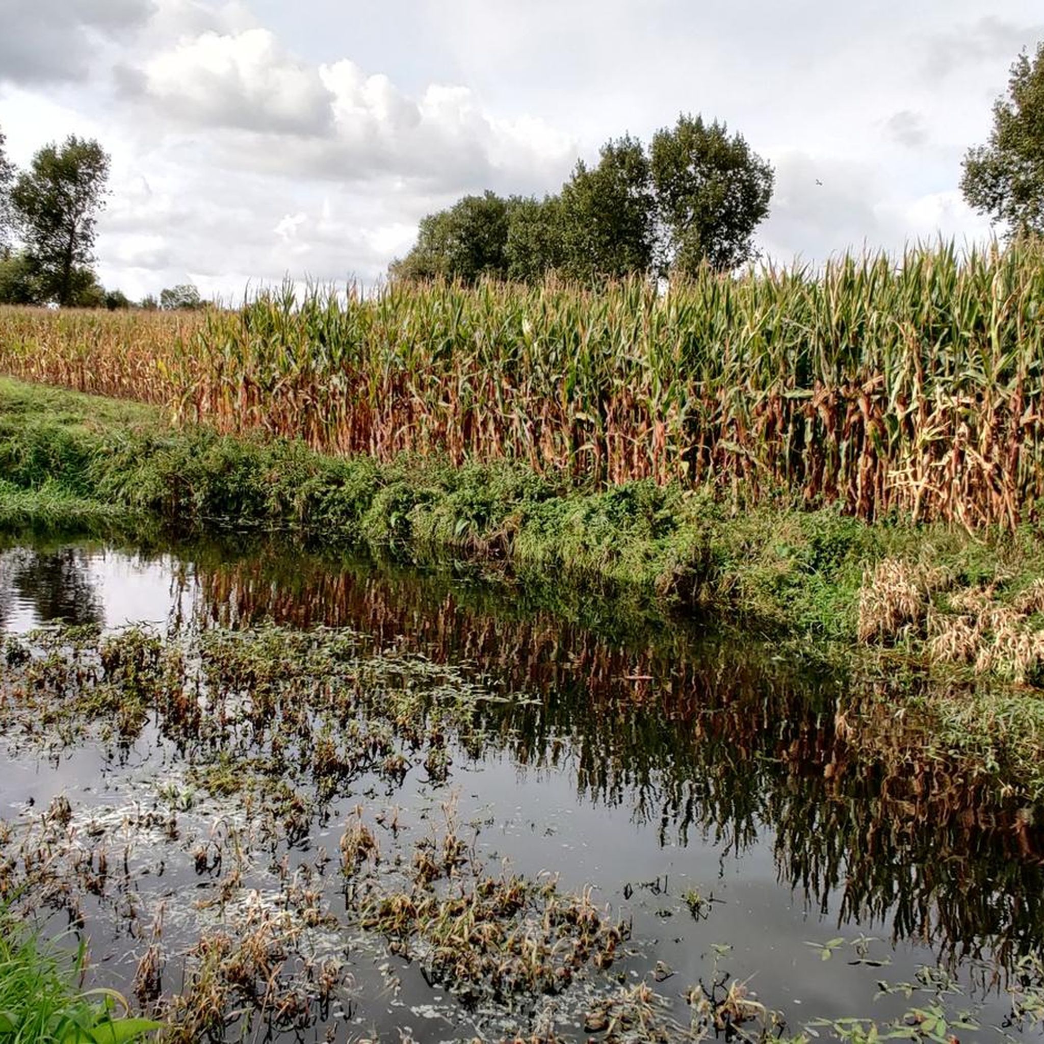
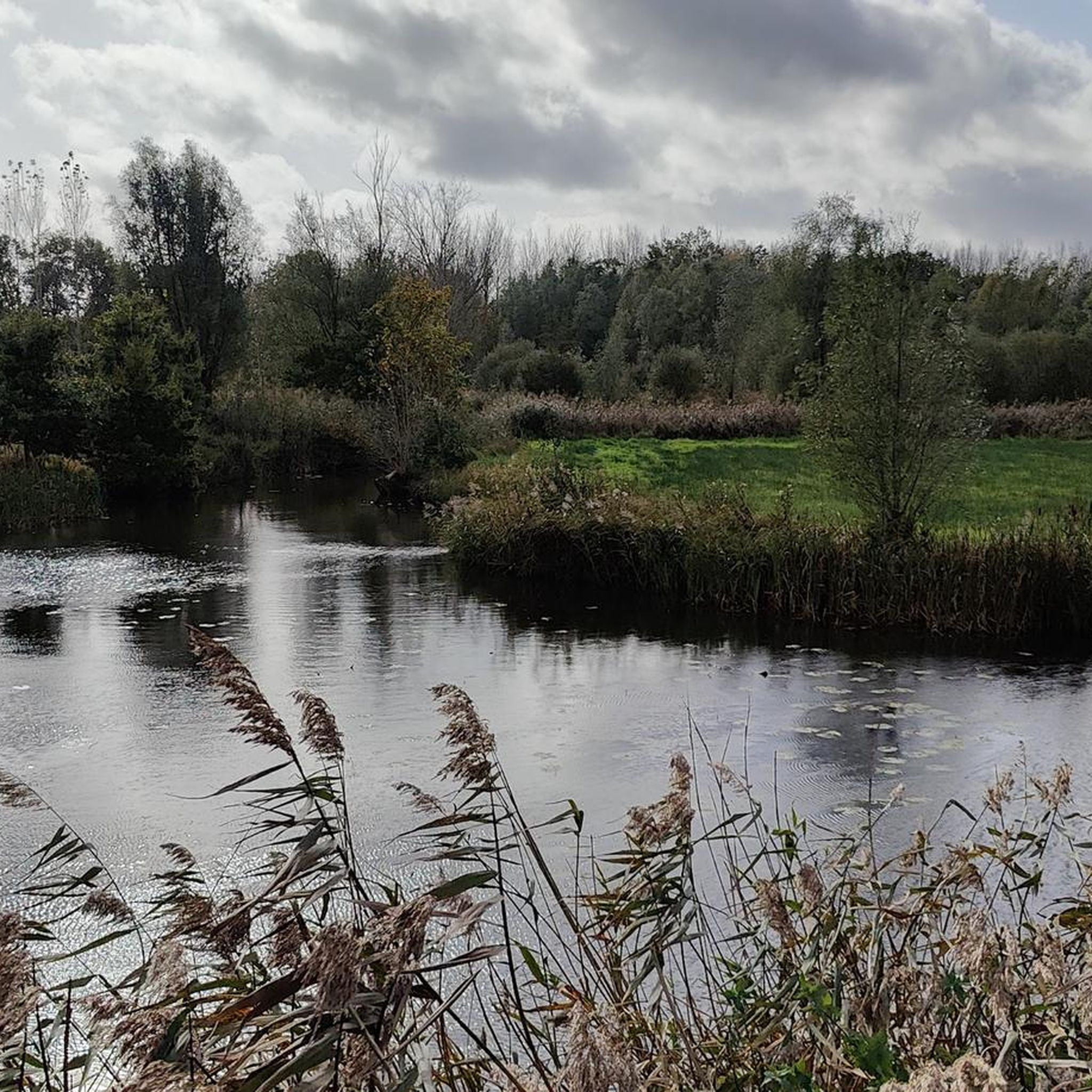
Gravel biking in Barbierbeekvallei En Bolakkergebied offers diverse terrain shaped by the meandering Barbierbeek, the largest stream in the Waasland region. The landscape features unique "bolle akkers" (convex fields) resulting from historical farming practices, contributing to varied topography. Riders will encounter a mix of wet grasslands, scrubland, and wooded edges, alongside a cuesta, a geological formation that provides varied elevations. This area, part of the "Natuurpark Scheldeland," presents unpaved roads ideal for gravel bikes.
Best gravel bike trails in Barbierbeekvallei…
Last updated: October 20, 2026
4.0
(2)
6
riders
23.6km
01:25
50m
50m
Easy gravel ride. Great for any fitness level. Mostly paved surfaces. Suitable for all skill levels.
4.7
(11)
30
riders
33.3km
02:06
50m
50m
Moderate gravel ride. Good fitness required. Mostly paved surfaces. Suitable for all skill levels.

5.0
(1)
16
riders
46.7km
02:46
70m
70m
Moderate gravel ride. Good fitness required. Mostly paved surfaces. Suitable for all skill levels.
11
riders
76.0km
04:14
160m
160m
Moderate gravel ride. Good fitness required. Mostly paved surfaces. Suitable for all skill levels.
14
riders
78.1km
04:33
130m
130m
Hard gravel ride. Good fitness required. You may need to push your bike for some segments of this route.
Get access to more routes and recommendations from other explorers.
Already have an account?
Our route recommendations are based on thousands of hikes, rides, and runs completed by other people on komoot.
Start today with a free account
Your next adventure awaits.
Popular around Barbierbeekvallei En Bolakkergebied
Tips from the Community

De Kouterwegel was the very first to win the Grage Weg Award, an initiative by the Province of Oost-Vlaanderen, which aims to reward inspiring slow roads that people not only use functionally, but which also invite an experience. De Kouterwegel is part of the Kaboutermolenpad, a special route that distinguishes itself through its pronounced experiential value, according to the award jury, an example of how slow roads can entice people to consciously choose a detour, purely for the sake of the experience. After all, a slow road is more than just a connection between two points. It is a place that stimulates one or more senses, that connects with the environment and that attracts users through its unique character. The Kaboutermolenpad - Kouterwegel succeeds in this, according to the jury, with flying colours. Along the path, playful gnome figures create wonder for young and old. Visitors can stop at a chapel that invites rest and connection, or enjoy a break at a nearby café. The unpaved path is simultaneously barrier-free and accessible to everyone, and is clearly signposted. The route winds through a varied and quiet landscape, where a rich palette of scents and colours constantly stimulates the senses. This is what can be read on pers.oost-vlaanderen.be... a recognisable report, but during my passage I thought: I hope that the prize money from the Grage Weg 2026 will be used to restore the gnome figures, which here and there are in considerable need of repair or beautification.
1
0
The Molenbeek forms part of the northern border of the municipality of Sint-Niklaas with the municipalities of Sint-Gillis-Waas and Stekene. Hydrographically, the Molenbeek belongs to the basin of the Gentse Kanalen. Previously, the Molenbeek originated in the center of Sint-Niklaas, at the site where the Romain De Vidtspark is now located. Nowadays, the stream flows through the entire Sint-Niklaas center from south to north in culverts, to re-emerge on the surface at the edge of Belsele and then flow through Sinaai until it flows into the Stekense Vaart. From that confluence, a path follows the banks of the stream for a considerable distance.
2
0

History: formerly Buitenland was marshland. Over the centuries, dikes were built and land was reclaimed. The name "Buitenland" (also "Buytenland" or "Buijten landt") presumably refers to land reclaimed from the marshes outside the dikes. Until 1845, the area was almost uninhabited. After further land reclamation, the hamlet grew into a residential nucleus, stimulated by the family business. The hamlet has no church or school. It remains to this day a biologically valuable area.
3
0
A beautiful trail with a view of the 16th-century castle of Marnix de Sainte Aldegonde. At hiking junction 27, there's a bench where you can relax.
1
0
The castle was built by the Spanish nobleman Don Pedro Coloma and still exudes its former grandeur. Philippe de Marnix, Lord of Sainte Aldegonde, was the right-hand man of Prince William of Orange. He played a key role during the siege and fall of Antwerp in 1585 while mayor of the city. He is also mentioned as a possible author of the Wilhelmus, the Dutch national anthem.
7
0

Please note, Café den Etranger was not open when we passed by, even though it was a Saturday 😎
1
0

Adjust speed: watch out for traffic from different directions (cyclists and pedestrians).
2
0

Frequently Asked Questions
How many gravel bike trails are available in Barbierbeekvallei En Bolakkergebied?
There are over 35 gravel bike trails available in Barbierbeekvallei En Bolakkergebied, offering a wide range of experiences for different skill levels.
What kind of terrain can I expect on the gravel bike trails?
You can expect diverse terrain, including unpaved roads, wet grasslands, scrubland, and wooded edges. The landscape is shaped by the meandering Barbierbeek and features unique "bolle akkers" (convex fields) and a cuesta, which provides varied elevations. This mix makes for engaging gravel biking.
Are there any historical landmarks or natural features to see along the routes?
Yes, the region is rich in natural and historical features. You'll encounter the scenic, largely untouched meandering Barbierbeek, and the distinctive "bolle akkers" which are a result of historical farming practices. For a historical landmark, consider routes that pass near the Graventoren van Rupelmonde, a former water castle with a rich history, which can be incorporated into longer rides.
Are there routes suitable for beginners or families?
Yes, Barbierbeekvallei En Bolakkergebied offers several easy routes perfect for beginners or families. For instance, the Buitenland hamlet – Temse Scheldt Bridge loop from Temse is an easy 14.6-mile (23.6 km) trail that provides pleasant views along the Scheldt.
Can I bring my dog on the gravel bike trails?
While the region is popular for outdoor activities, specific regulations regarding dogs on gravel bike trails can vary. It's generally advisable to keep dogs on a leash, especially in nature reserve areas, to protect wildlife and ensure safety for all users. Always check local signage for specific rules.
What are the best times of year to go gravel biking in this region?
The best times for gravel biking are typically spring and autumn when the weather is milder and the natural scenery is vibrant. During these seasons, the trails are generally less muddy than in winter and less crowded than in peak summer. However, the varied terrain means conditions can change, so always check the forecast.
Are there any challenging routes for experienced gravel bikers?
Absolutely. For experienced riders seeking a challenge, the View of Temse bridge – Waasmunster Singletracks loop from Temse is a difficult 32.4-mile (52.2 km) path featuring varied terrain, including singletracks and views of the Temse bridge.
Where can I find parking for gravel biking in Barbierbeekvallei En Bolakkergebied?
Parking options are available in towns and villages surrounding the Barbierbeekvallei En Bolakkergebied, such as Temse, Beveren, and Sint-Niklaas. Look for designated parking areas near trailheads or public spaces in these localities. Specific parking details for individual routes are often provided on their respective komoot tour pages.
Is public transport an option to reach the gravel trails with my bike?
Public transport can be an option, particularly to larger towns like Temse or Sint-Niklaas, which are close to the Barbierbeekvallei En Bolakkergebied. However, policies for carrying bikes on public transport (trains, buses) vary and may have restrictions during peak hours or require special tickets. It's best to check with local transport providers (e.g., De Lijn for buses, NMBS/SNCB for trains) for their current bike policies before planning your trip.
Are there any cafes or places to eat near the trails?
Yes, you'll find cafes, pubs, and restaurants in the nearby towns and villages such as Temse, Kruibeke, Lokeren, Beveren, and Waasmunster. These places offer opportunities to refuel and relax before or after your ride. Many routes start or pass through these areas, making it convenient to find refreshments.
What do other gravel bikers say about the routes in Barbierbeekvallei En Bolakkergebied?
The routes in Barbierbeekvallei En Bolakkergebied are highly rated by the komoot community, with an average score of 4.2 stars from over 55 reviews. Riders often praise the varied terrain, the scenic views along the Barbierbeek, and the unique historical landscapes like the "bolle akkers" that make for an engaging gravel biking experience.
Are permits required for gravel biking in Barbierbeekvallei En Bolakkergebied?
Generally, no specific permits are required for gravel biking on the established trails within Barbierbeekvallei En Bolakkergebied, as it is part of the "Natuurpark Scheldeland" and accessible for recreational use. However, always respect local regulations, private property signs, and nature reserve rules. Some very specific, sensitive areas might have restrictions, so pay attention to signage.
What are the surface conditions like, and is mud a common issue?
The trails primarily consist of unpaved roads, which are ideal for gravel bikes. Due to the presence of wet grasslands and the Barbierbeek, some sections can become muddy, especially after rainfall or during wetter seasons. Riders should be prepared for varying surface conditions, including gravel, dirt, and potentially muddy patches, particularly in areas with the "Boom Formation" clay layer.
Are there good loop trails for gravel biking in the area?
Yes, many of the gravel biking routes in Barbierbeekvallei En Bolakkergebied are designed as loops, allowing you to start and end at the same point. For example, the 't Hoogst Trail – Wide Gravel Path loop from Temse is a popular 20.6-mile (33.2 km) loop that takes you through varied landscapes.
Most popular routes in Barbierbeekvallei En Bolakkergebied

Get inspired with the komoot mobile app


Explore more
Browse the best Gravel rides in other regions.
