The best gravel rides in Mount Buffalo National Park
5.0
(1)
41
riders
5
rides
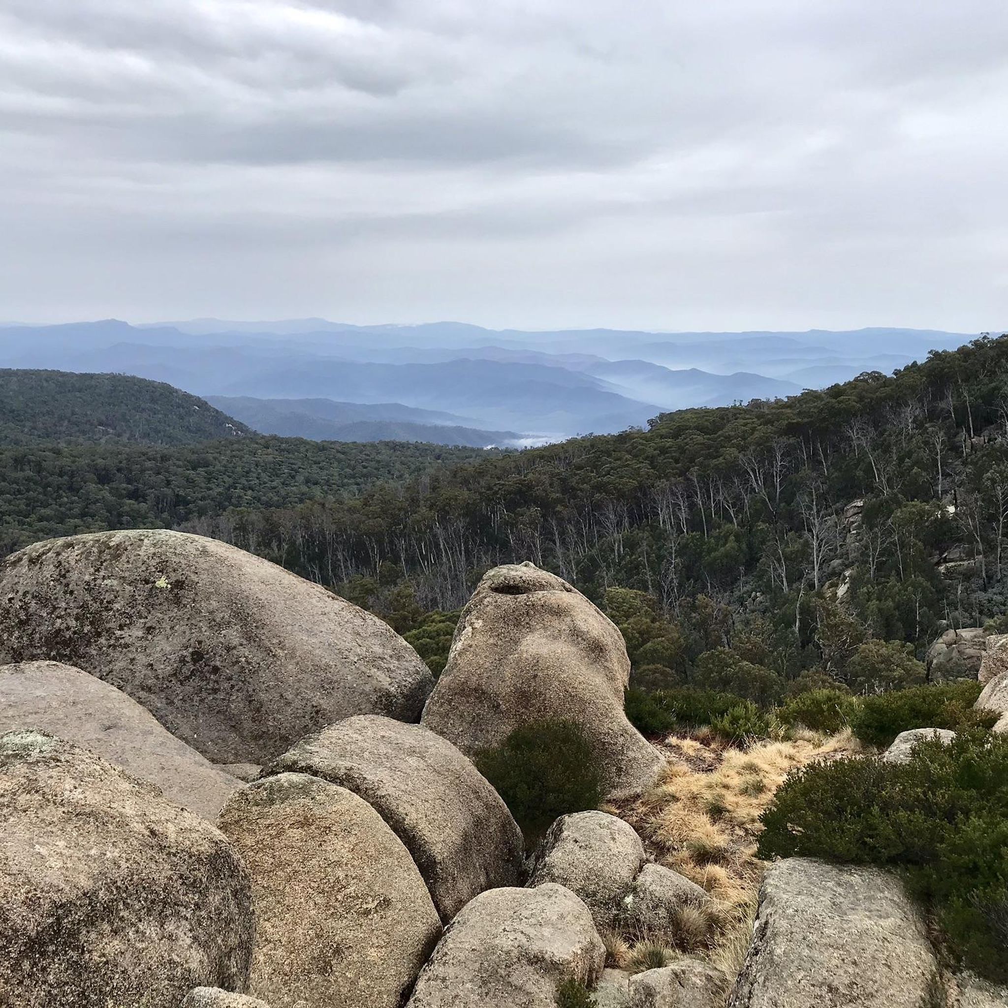
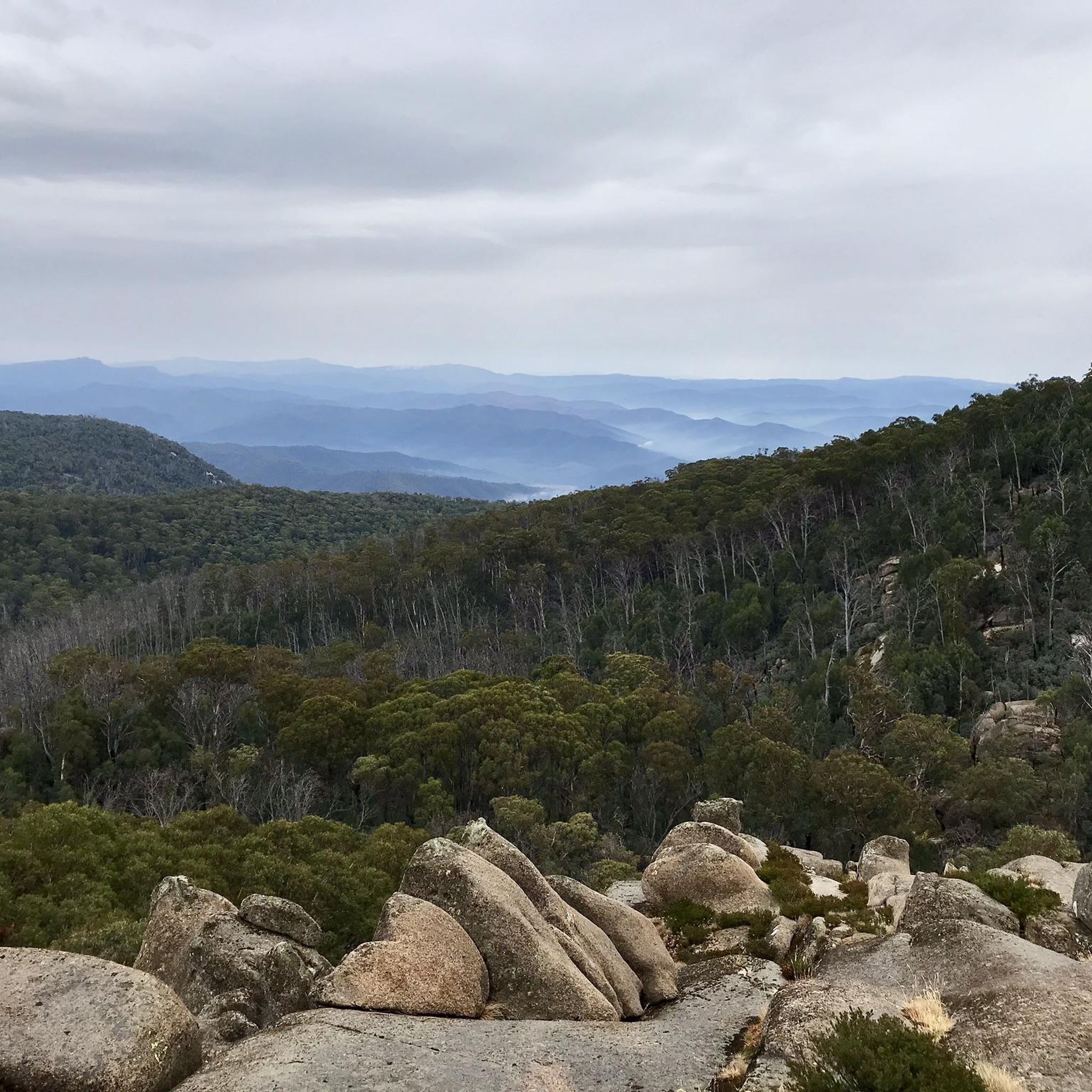
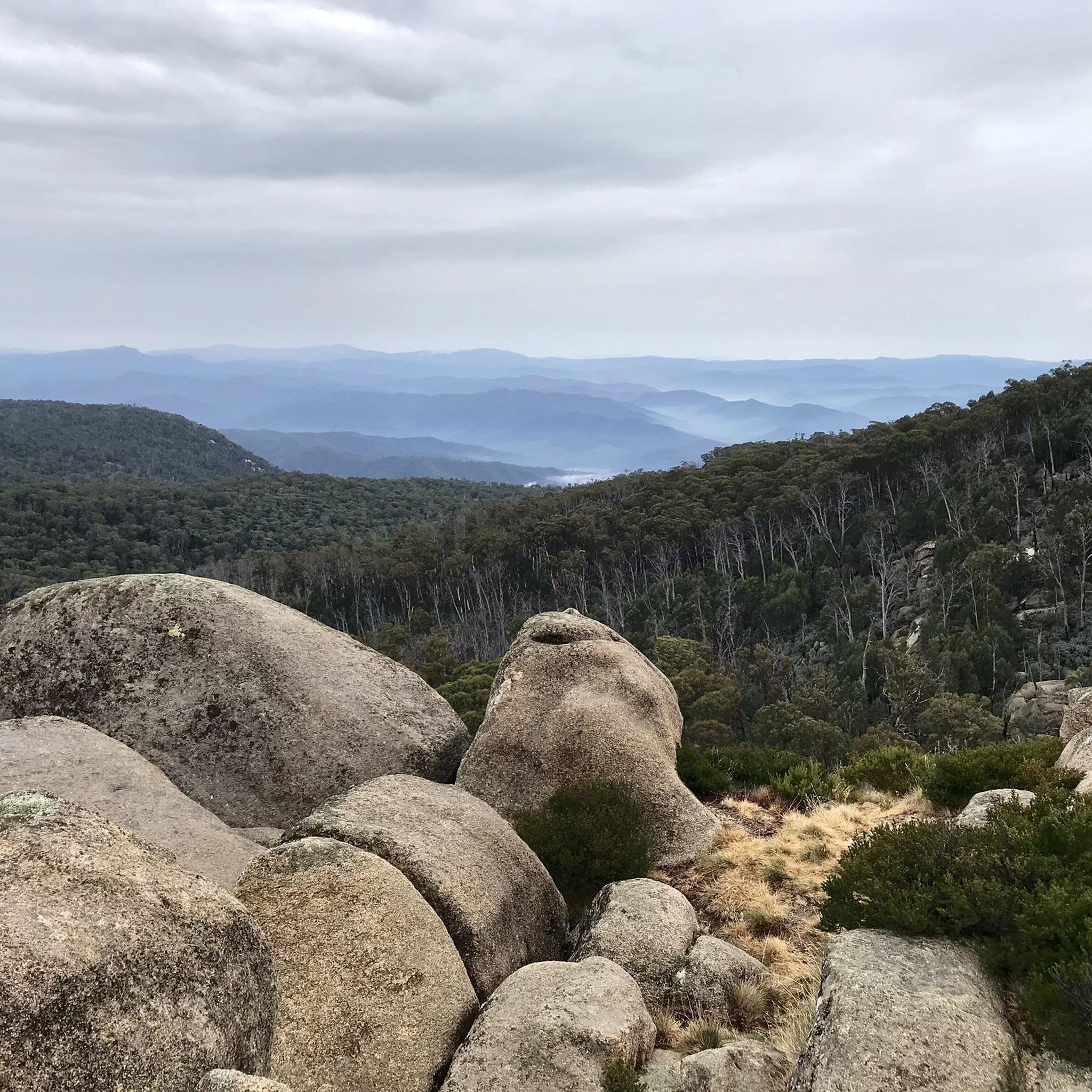
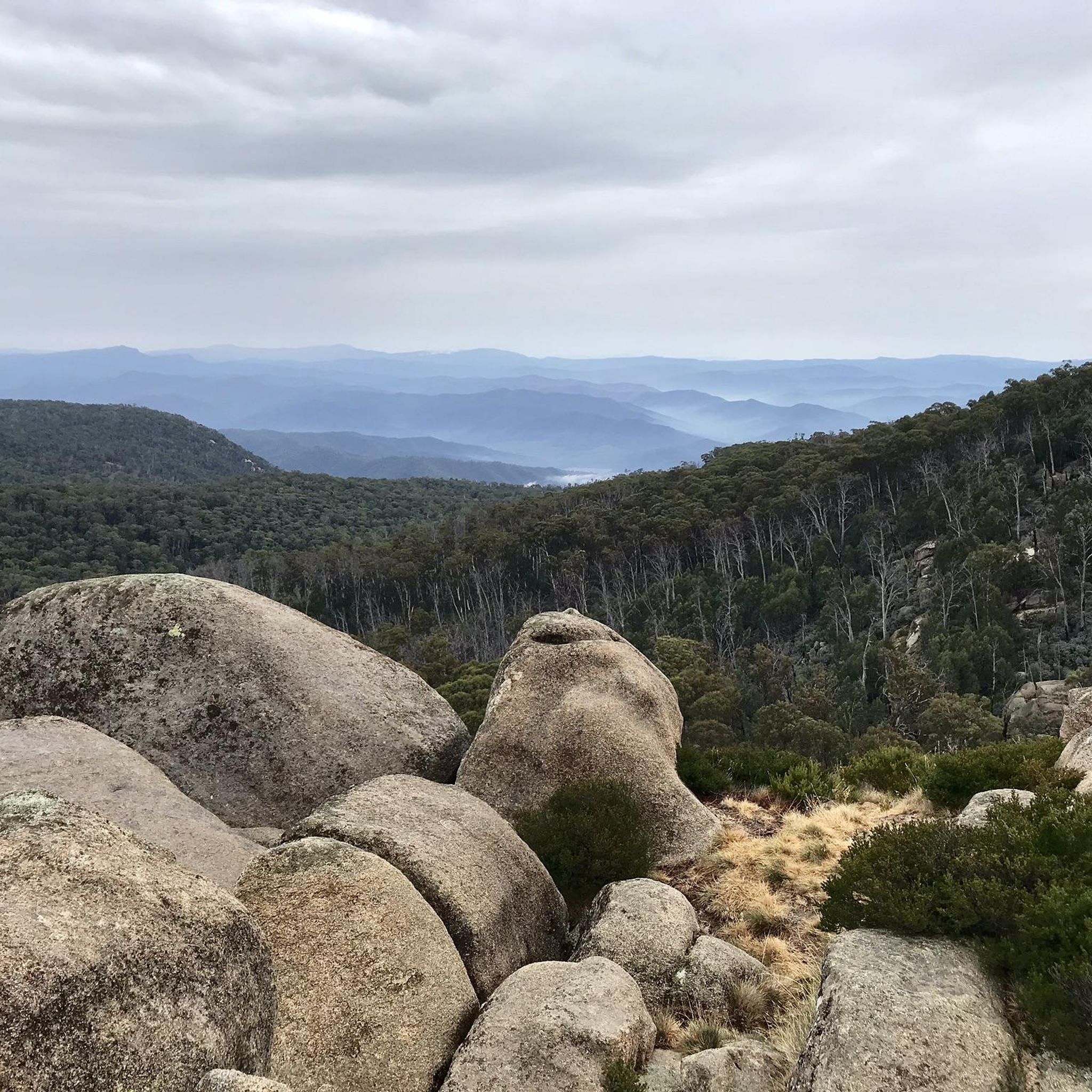
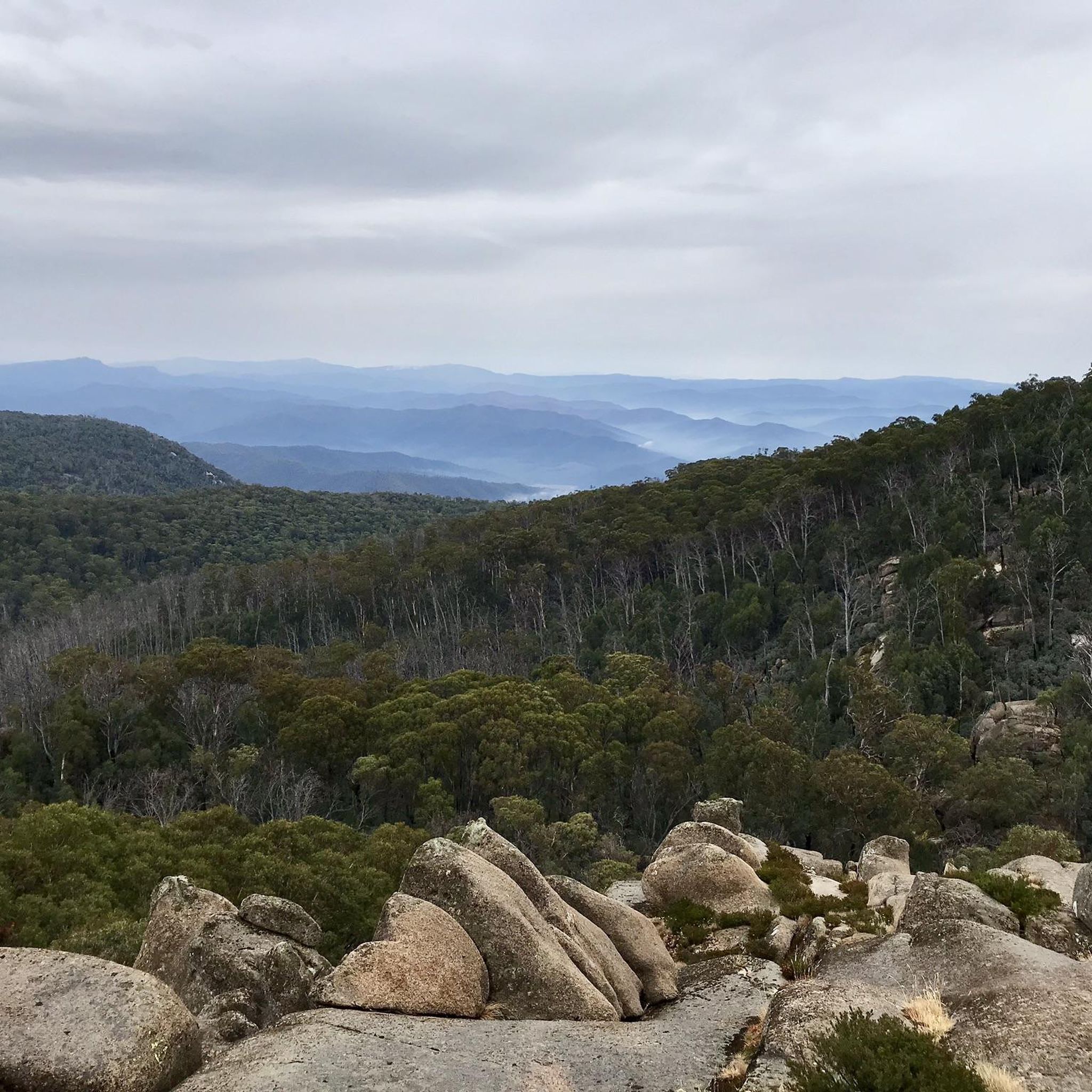
Gravel biking in Mount Buffalo National Park offers routes across a sub-alpine plateau characterized by imposing granite tors, forested foothills, and diverse woodlands. The park features a network of gravel service roads and tracks, providing varied terrain for off-road cycling. Riders can experience significant elevation changes, from lower Peppermint forests to higher Snow Gum woodlands, with views of sheer gorges and rock formations.
Best gravel bike trails in Mount Buffalo National Park
- The most popular gravel bike trail is Buffalo River Road – Gapsted Winery loop from Myrtleford, a 77.6 miles (124.9 km) trail that takes 8 hours 27 minutes to complete. This extensive loop explores the broader region, featuring significant climbs and descents.
- Another top favourite among local gravel bikers is Bright Brewery – Mount Porepunkah Summit loop from Bright, a difficult 23.7 miles (38.2 km) path. This route leads through forested areas and offers rewarding summit views.
- Local gravel bikers also love the Ovens River – Bright Brewery loop from Bright, a 29.9 miles (48.1 km) trail leading through river valleys and forested terrain, often completed in about 3 hours 53 minutes.
- Gravel biking in Mount Buffalo National Park is defined by granite tors, sub-alpine plateaus, and diverse woodlands. The network offers options for different ability levels, including challenging climbs and longer endurance routes.
- The routes in Mount Buffalo National Park are highly rated by the komoot community with an average score of 4.0 stars from over 5 reviews. More than 100 gravel bikers have used komoot to explore Mount Buffalo National Park's varied terrain.
Last updated: October 20, 2026
10
riders
29.2km
01:55
360m
360m
Moderate gravel ride. Good fitness required. Mostly paved surfaces. Suitable for all skill levels.
6
riders
125km
08:29
1,100m
1,100m
Hard gravel ride. Very good fitness required. Mostly paved surfaces. Suitable for all skill levels.

15
riders
36.3km
02:47
840m
840m
Hard gravel ride. Very good fitness required. Mostly paved surfaces. Suitable for all skill levels.
5
riders
100km
06:54
1,350m
1,350m
Hard gravel ride. Very good fitness required. Mostly paved surfaces. Suitable for all skill levels.
5.0
(1)
5
riders
16.5km
01:10
230m
230m
Moderate gravel ride. Good fitness required. Mostly paved surfaces. Suitable for all skill levels.
Our route recommendations are based on thousands of hikes, rides, and runs completed by other people on komoot.
Start today with a free account
Your next adventure awaits.
Tips from the Community

Morses Creek is rarely far from you here, with the track slipping between native bush, patches of pine and the water’s edge on the way towards Wandiligong. Little bridges and creek crossings break up the walk, while rocky gorges, rapids and quieter swimming holes appear along the way. It’s mostly easy underfoot, so you can spend more time looking along the creek than concentrating on every step.
0
0
Bennetts Trail is a smooth, sealed stretch linking Bright with Wandiligong, with small hills and no steps to worry about. You’ll pass the historic Bright Cemetery, Morses Creek and the Mystic Flight Park before reaching Alpine Park in Wandiligong. The route is shared with cyclists, so keep an ear out behind you, but otherwise it’s an easy, relaxed section where you can enjoy the valley scenery without watching every footstep.
0
0
Mystic Flight Park is Bright’s main paragliding and hang-gliding hub, and on a good flying day you’ll often see colourful wings circling above the valley before coming down into the landing paddock beside Morses Creek Road. The actual launch sits high on Mystic Mountain, around 500 metres above the landing zone. Even if you’re staying firmly on the ground, it’s a fun spot to pause and watch the pilots coming in.
0
0
The Murray to Mountains Rail Trail is a network of more than 120 kilometres of sealed, off-road going through Victoria’s High Country, linking towns including Wangaratta, Beechworth, Myrtleford and Bright. This Bright to Porepunkah section is a much shorter 6.6-kilometre stretch, following the old railway corridor past trees, open countryside and Bright Golf Club, with Mount Buffalo becoming more prominent as you approach Porepunkah.
0
0
Feathertop Winery sits right beside the Murray to Mountains Rail Trail between Bright and Porepunkah, with vines climbing the slopes above the path and Mount Buffalo forming the backdrop. It’s worth knowing that the estate is now private: Summit Cru members have access, while other visitors need to book ahead rather than simply dropping in for a tasting.
0
0
Riverside Park sits right on the Ovens River in the centre of Porepunkah, making it a great place to stop along the rail trail. There are picnic tables, barbecues, toilets, a playground and plenty of grass by the water, plus views towards Mount Buffalo. In the warmer months, the river is dammed to create a swimming area, with a separate shallow pool for younger children.
0
0

Well worth a visit as you are passing close by. Good quality meals.
0
0
The Ovens River flows through Bright as a clear, fast-moving alpine river, running for about 191 kilometres from the Victorian Alps to the Murray River. In this section, it moves over rocks and through small drops, forming pools and a short canyon carved into the riverbank. It’s a central feature of the town, with easy access to the water along walking tracks and parks. Conditions can change after rain, so take care near the river’s edge.
0
0
Frequently Asked Questions
How many gravel bike trails are available in Mount Buffalo National Park?
Mount Buffalo National Park offers a diverse network of gravel biking opportunities. Our guide features 12 curated routes, ranging from moderate to difficult, allowing you to explore the park's unique sub-alpine landscapes.
What is the general difficulty level of gravel biking in Mount Buffalo National Park?
The gravel biking trails in Mount Buffalo National Park are generally considered moderate to difficult. Many routes feature significant elevation changes, with some sections, like parts of the 9 Mile Creek track, being very steep. Even the sealed Mount Buffalo Road, which can be tackled by hardy gravel riders, involves a consistent 4-5% gradient climb for nearly 21km with over 1,000m of altitude gain, plus additional loose gravel sections to The Horn car park.
Are there any beginner-friendly gravel biking routes in Mount Buffalo National Park?
While our guide primarily features moderate to difficult routes, the park's varied terrain does offer options for different fitness levels. Dedicated easy routes are not prominent, but some sections of gravel service roads, like those around Lake Catani, might be more manageable for less experienced riders. Always check the route profile for elevation and surface details before heading out.
What are some of the longer gravel biking routes in the Mount Buffalo area?
For those seeking a longer challenge, the Buffalo River Road – Gapsted Winery loop from Myrtleford is a difficult 124.9 km path that explores the broader region with significant climbs and descents. Another substantial option is the Bright Brewery – Feathertop Wines loop from Bright, covering 64.8 km with considerable elevation.
What kind of landscapes and natural features can I expect to see while gravel biking?
Gravel biking in Mount Buffalo National Park offers stunning scenery. You'll encounter imposing granite tors, sheer cliffs, and dramatic rock formations, especially around The Horn. The routes traverse diverse ecosystems, from Peppermint forests to tall Alpine Ash stands and unique Snow Gum woodlands. Keep an eye out for tumbling waterfalls like Ladies Bath Falls and Eurobin Falls, and in summer, the plateau bursts with wildflowers.
Is parking available for gravel bikers in Mount Buffalo National Park?
Yes, parking is generally available at various points throughout Mount Buffalo National Park, including at lookouts and picnic areas. Specific parking details for trailheads are often provided within individual route descriptions on komoot. It's advisable to check the park's official website for any current parking regulations or fees.
Can I bring my dog on the gravel bike trails in Mount Buffalo National Park?
No, dogs are generally not permitted on trails within Mount Buffalo National Park, including gravel bike routes. National Parks in Victoria have strict regulations regarding pets to protect native wildlife and natural environments. It's always best to check the official Parks Victoria website for the most up-to-date information on pet policies before your visit.
What is the best time of year for gravel biking in Mount Buffalo National Park?
The best time for gravel biking is typically during the warmer months, from late spring through autumn (November to April). During this period, the weather is generally milder, and the trails are free of snow. In summer, the plateau is vibrant with wildflowers. Winter brings snow, transforming the park into a winter sports destination, making many gravel routes inaccessible or requiring specialized equipment.
Are there any loop trails for gravel biking in Mount Buffalo National Park?
Yes, several excellent loop trails are available for gravel biking. Popular options include the Bright Brewery loop from Porepunkah, a 32.5 km route, and the Bright Brewery loop from Bright, which covers 36.3 km. These loops offer varied terrain and scenic views.
What do other gravel bikers enjoy most about gravel biking in Mount Buffalo National Park?
The gravel biking experience in Mount Buffalo National Park is highly rated by the komoot community, with an average score of 4.0 stars. Reviewers often praise the challenging climbs, the stunning panoramic views from granite tors, and the unique experience of cycling through diverse sub-alpine woodlands. The sense of adventure on the varied gravel service roads is also frequently highlighted.
Are there any specific viewpoints or attractions accessible by gravel bike?
Many gravel routes offer access to spectacular viewpoints. The Horn, the highest accessible point in the park, provides panoramic 360-degree views of the Australian Alps, and parts of its access road include loose gravel suitable for hardy riders. The Gorge Lookout also offers stunning vistas of the Ovens and Buckland Valleys. Lake Catani is another idyllic spot for a break, accessible via gravel tracks.
What kind of wildlife might I encounter on the gravel trails?
Mount Buffalo National Park is home to diverse wildlife. While gravel biking, you might spot wombats, wallabies, possums, and various bird species. The park's varied altitudes support different habitats, so keep an eye out, especially in the early morning or late afternoon. Remember to observe wildlife from a distance and avoid disturbing them.
Most popular routes in Mount Buffalo National Park
Most popular attractions in Mount Buffalo National Park

Get inspired with the komoot mobile app


Explore more
Browse the best Gravel rides in other regions.
