The best gravel rides around Llanfrynach
4.7
(22)
220
riders
10
rides
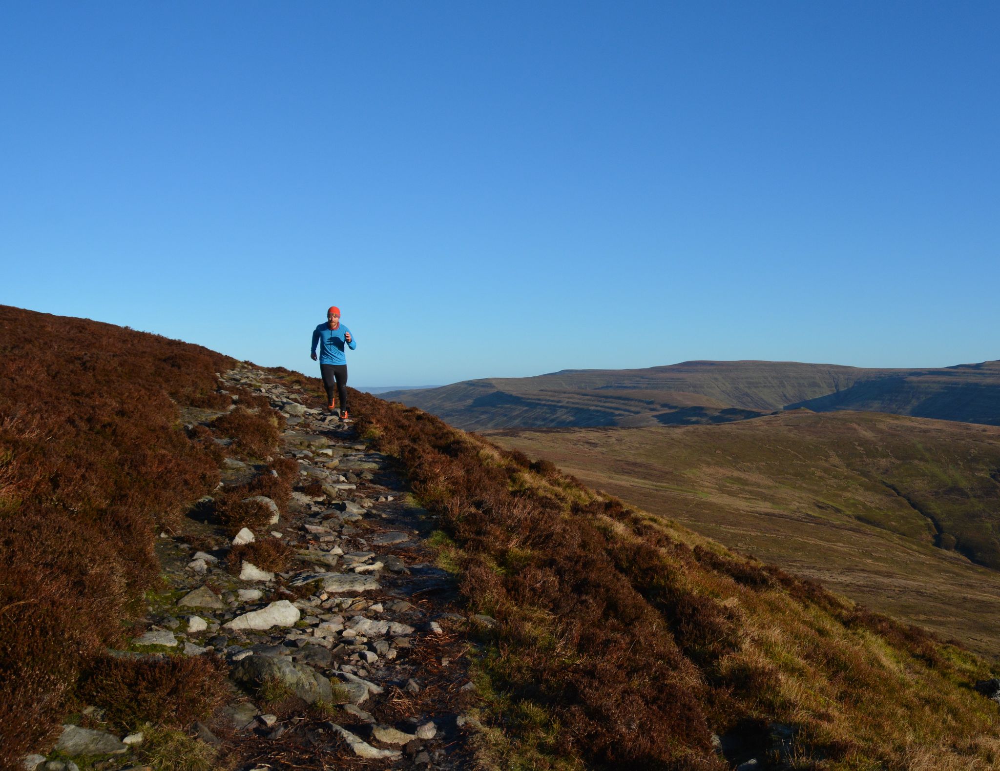
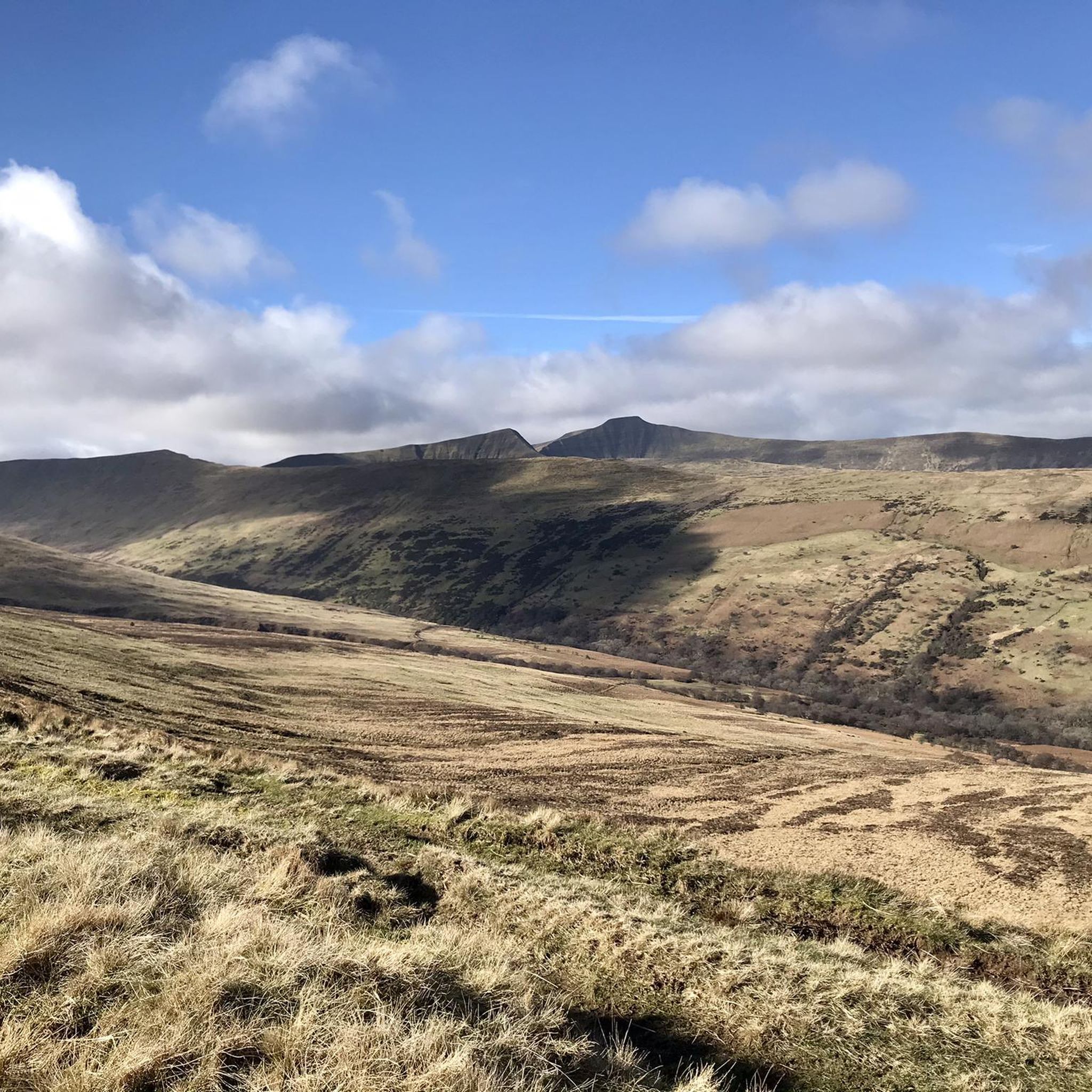
Gravel biking around Llanfrynach features a landscape characterized by river valleys, canal paths, and reservoir loops, set within the broader Brecon Beacons region. The terrain includes both relatively flat sections along waterways and more challenging ascents leading to elevated viewpoints. The area offers a mix of surfaced and unpaved tracks, suitable for gravel cycling. Routes often connect natural water features with historical canal infrastructure.
Best gravel bike trails around Llanfrynach
- The most popular gravel bike trail is Talybont Reservoir –…
Last updated: October 20, 2026
5.0
(1)
51
riders
53.3km
03:15
770m
770m
Hard gravel ride. Very good fitness required. Mostly paved surfaces. Suitable for all skill levels.
4.5
(4)
26
riders
Easy gravel ride. Great for any fitness level. Mostly paved surfaces. Suitable for all skill levels.

5.0
(3)
30
riders
63.2km
03:23
350m
350m
Moderate gravel ride. Good fitness required. Mostly paved surfaces. Suitable for all skill levels.
4.5
(2)
35
riders
43.2km
02:22
420m
420m
Moderate gravel ride. Good fitness required. Mostly paved surfaces. Suitable for all skill levels.
4.5
(6)
33
riders
Easy gravel ride. Great for any fitness level. Mostly paved surfaces. Suitable for all skill levels.
Get access to more routes and recommendations from other explorers.
Already have an account?
Our route recommendations are based on thousands of hikes, rides, and runs completed by other people on komoot.
Start today with a free account
Your next adventure awaits.

Other adventures around Llanfrynach

Tips from the Community

This is a super nice section of this iconic canal and this part is also lock free. The towpath is great for walking, running, or biking. If you have a decent road bike you should manage fine. We were using a Roubaix Expert with 32 mm tires and we managed easily.
0
0

It's a beautiful canal but what is amazing is that it runs all the way to Brecon
0
0

the lower reservoir has a nice flat road next to it, a welcome relief after the lumpy roads that lead to it from either direction.
0
0

Great views and a very large plug hole at the end of the Dam
0
0

gorgeous views, very popular with walkers, so be aware
0
0
ideal for cycling, road bike would do it although gravel/mtb would be more comfortable. very popular with walkers so be aware
0
0

A wooden drawbridge carried the road over the canal and was replaced by a fixed bridge after navigation on the canal ceased in the 1930s. Before the canal reopened to boats in 1970, a steel drawbridge with an electric operating mechanism was installed. There are four other drawbridges along the canal to the west. They are for farmers to access fields and are less elaborate than the one at Talybont. Drawbridges saved the canal company the expense of building stone bridges over the canal at these locations.
0
0
Frequently Asked Questions
How many gravel bike trails are available around Llanfrynach?
There are 10 gravel bike routes documented around Llanfrynach on komoot. These routes offer a variety of experiences, from easy canal-side rides to more challenging loops with significant climbs.
Are there any easy gravel bike trails suitable for beginners or families near Llanfrynach?
Yes, Llanfrynach offers several easy gravel bike trails perfect for beginners or family outings. A great option is the Brynich Aqueduct – Monmouthshire and Brecon Canal loop from Brecon, which is 12.9 miles (20.8 km) and follows the canal, providing a mostly flat and scenic ride. Another easy route is the Monmouthshire and Brecon Canal – Brynich Aqueduct loop from Talybont-on-Usk.
Where can I find parking for gravel biking trails in Llanfrynach?
Parking for gravel bike trails around Llanfrynach is typically available near popular starting points such as Brecon or Talybont-on-Usk, which serve as access points for the Monmouthshire and Brecon Canal paths and reservoir loops. Specific parking details can often be found on individual route pages on komoot.
What kind of terrain can I expect on gravel bike routes around Llanfrynach?
The terrain around Llanfrynach is diverse, featuring river valleys, canal paths, and reservoir loops within the Brecon Beacons. You'll encounter a mix of relatively flat sections along waterways and more challenging ascents leading to elevated viewpoints. Routes combine both surfaced and unpaved tracks, making them ideal for gravel cycling.
Are there any challenging gravel bike routes for advanced riders?
Absolutely. For advanced gravel bikers seeking a challenge, the Talybont Reservoir – Pontsticill Reservoir loop from Bwlch is a difficult 36.4 miles (58.7 km) route with significant elevation gain as it connects two major reservoirs. This trail offers a demanding ride through the Brecon Beacons foothills.
What are some notable viewpoints or landmarks along the gravel bike trails?
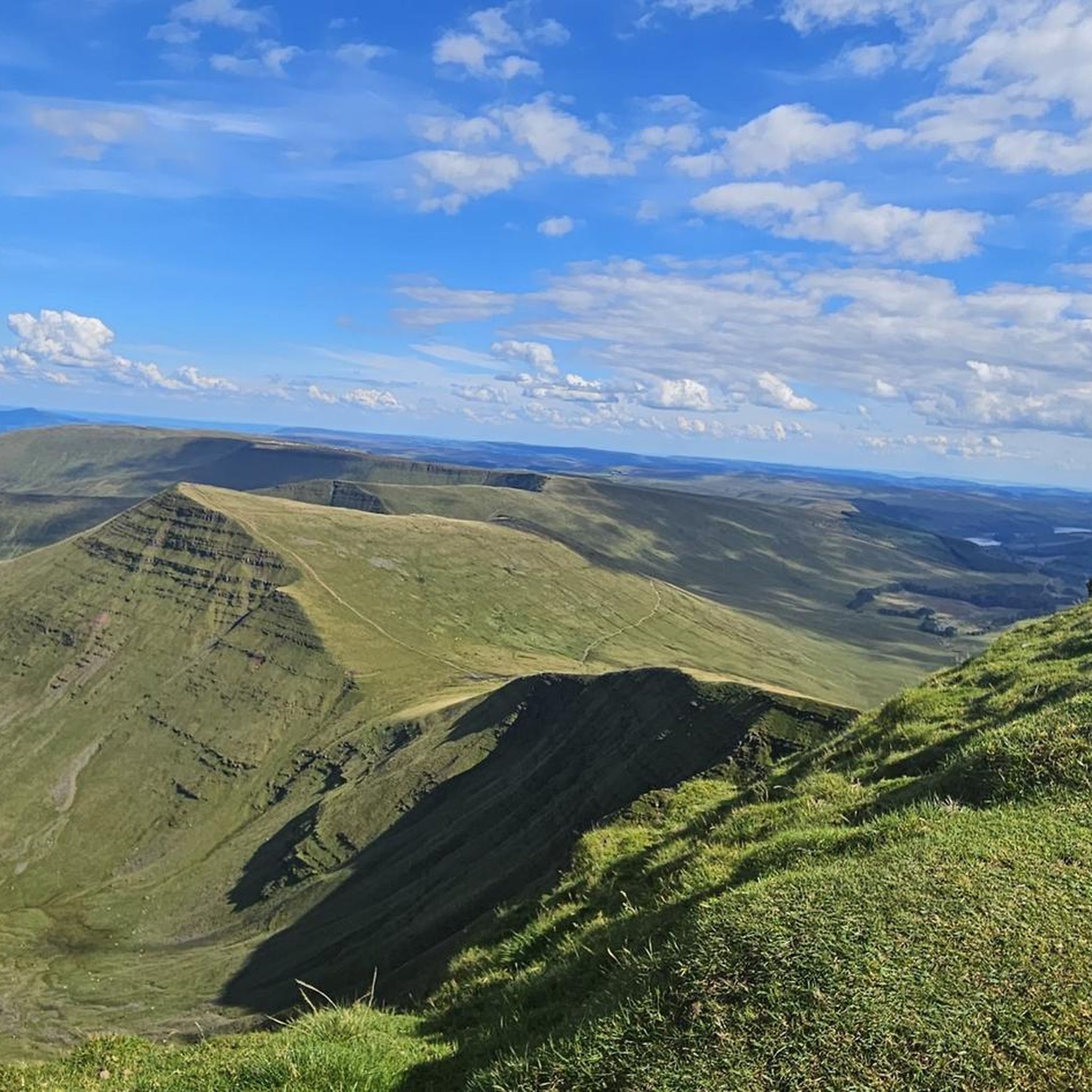
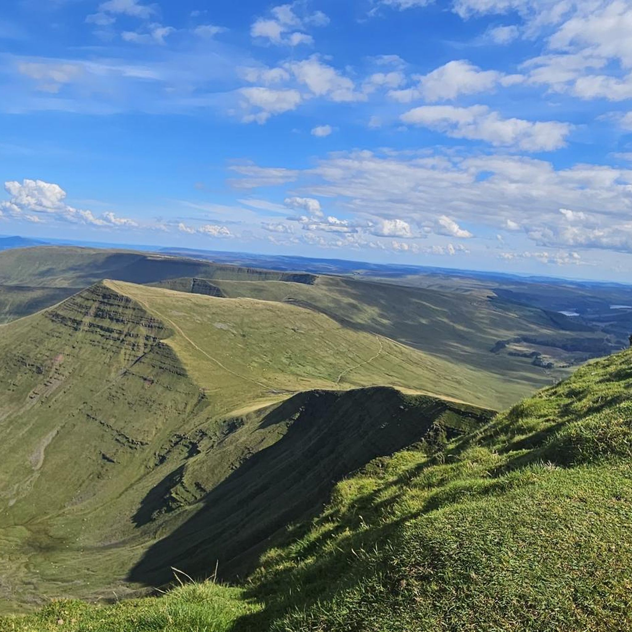
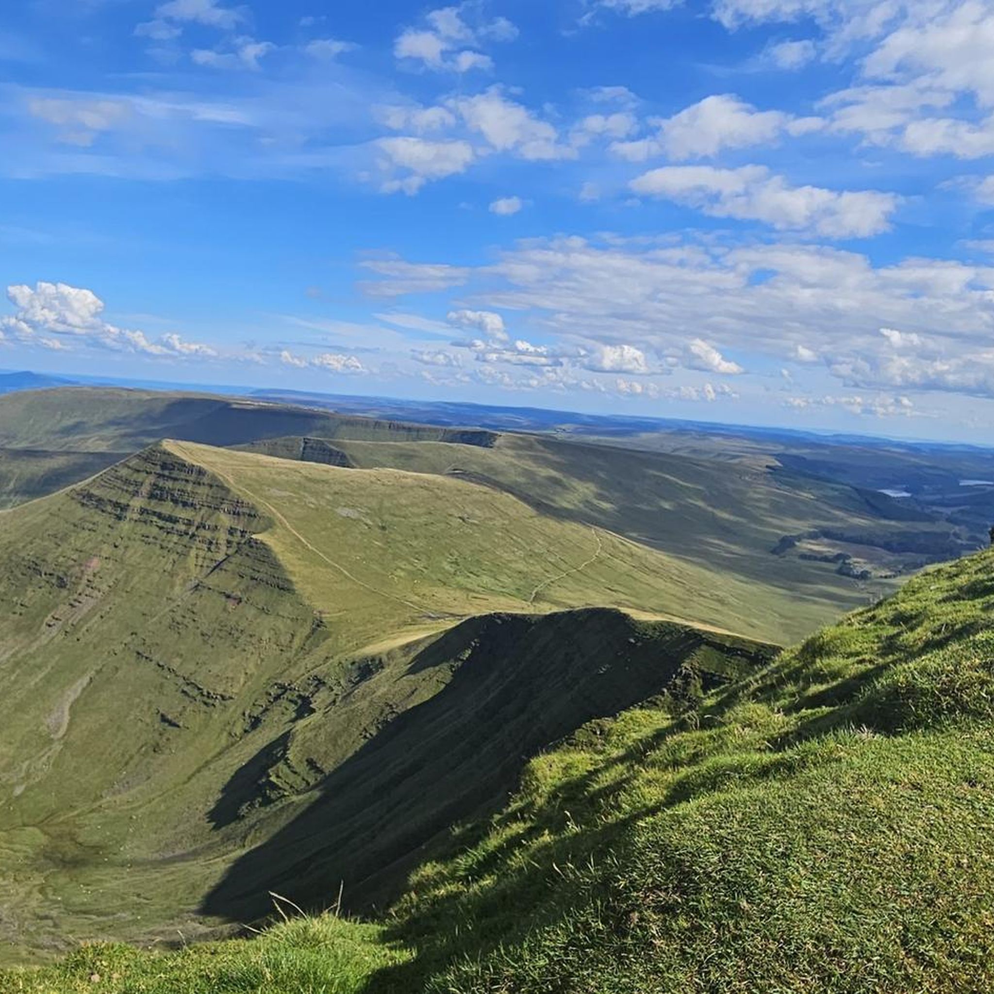
Many gravel routes in the Llanfrynach area offer stunning views of the Brecon Beacons. While riding, you might catch glimpses of prominent peaks like Pen y Fan, Corn Du summit, or Cribyn Summit. The Fan Frynych Trig Point also offers panoramic vistas.
Are there any circular gravel bike routes in the Llanfrynach area?
Yes, many of the gravel bike routes around Llanfrynach are designed as loops, allowing you to start and finish at the same point. For example, the Monmouthshire & Brecon Canal loop from Llanfrynach is a moderate 62.7 km circular route that explores the canal and surrounding areas.
What is the best time of year for gravel biking around Llanfrynach?
Gravel biking around Llanfrynach is enjoyable throughout much of the year. Spring and autumn offer pleasant temperatures and vibrant scenery. Summer provides longer daylight hours, while winter rides can be beautiful but may require more preparation for potentially wet or muddy conditions, especially on unpaved sections.
What do other gravel bikers enjoy most about the trails in Llanfrynach?
The gravel biking routes around Llanfrynach are highly rated by the komoot community, with an average score of 4.7 stars from over 20 reviews. Riders often praise the diverse terrain, the scenic canal paths, and the challenging climbs that lead to rewarding views within the Brecon Beacons.
Are there any cafes or refreshment stops near the gravel bike trails?
Yes, you'll find cafes and pubs in the villages and towns along or near the gravel bike routes, such as Brecon, Talybont-on-Usk, and other settlements along the Monmouthshire and Brecon Canal. These spots provide convenient opportunities for refreshments during your ride.
Can I combine canal paths with reservoir loops on a single ride?
Many routes in the Llanfrynach area are designed to connect these features. For instance, the Talybont Reservoir – Monmouthshire and Brecon Canal loop from Brecon is a 27.0 miles (43.5 km) trail that leads through varied terrain, including reservoir shores and canal towpaths, offering a comprehensive experience of the region's waterways.
Most popular routes around Llanfrynach
Most popular attractions around Llanfrynach

Get inspired with the komoot mobile app


Explore more
Browse the best Gravel rides in other regions.
