The best gravel rides around Drigg And Carleton
18
riders
4
rides
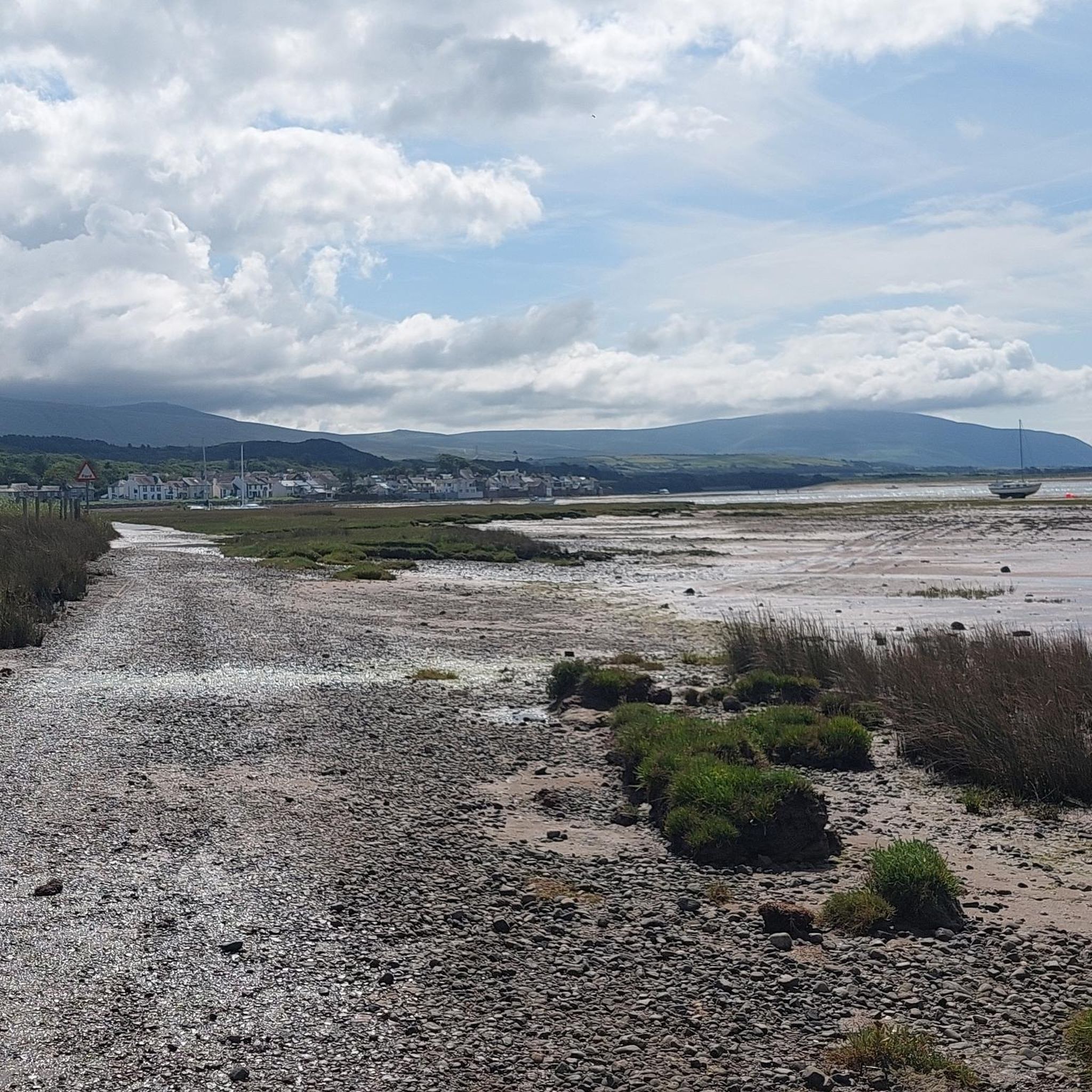
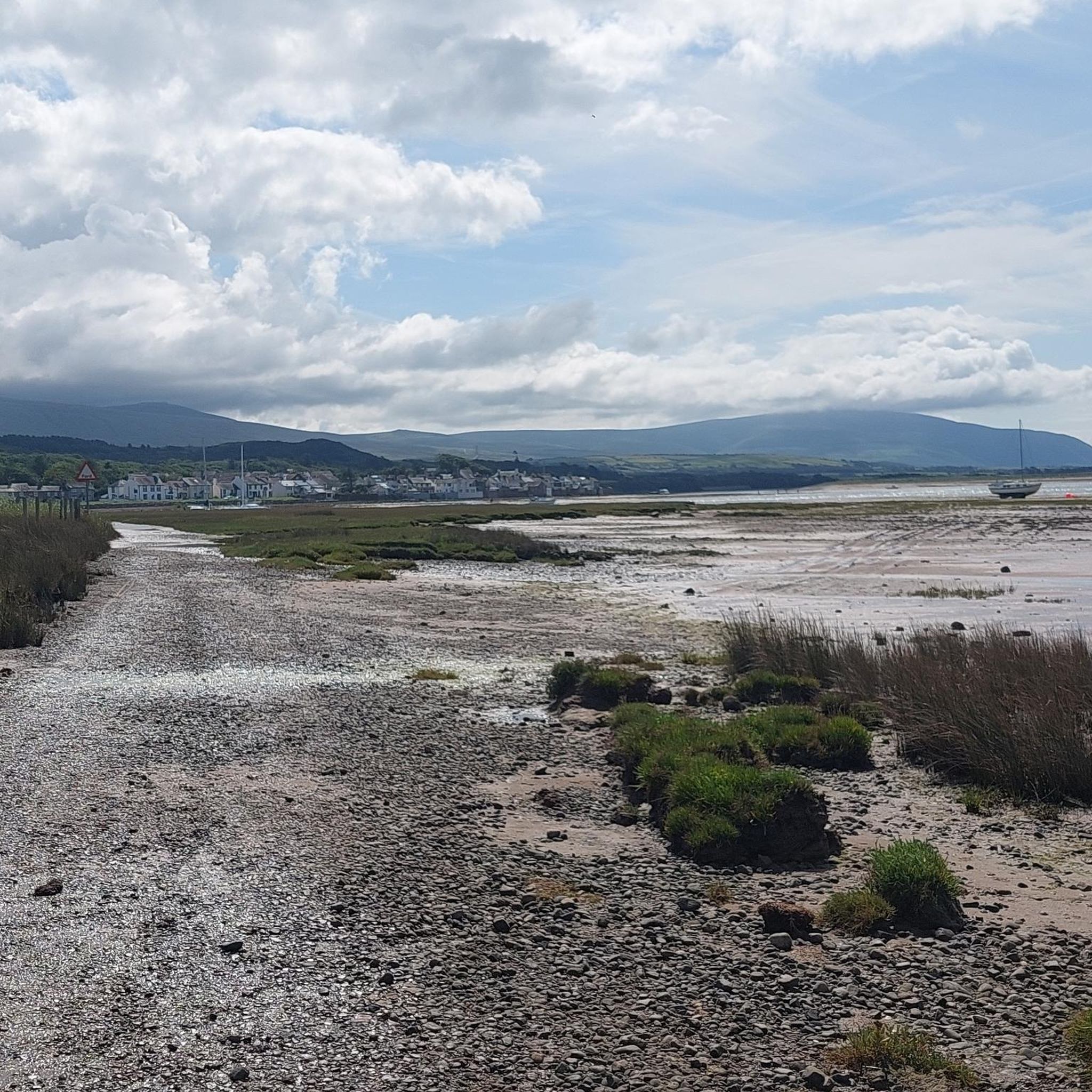
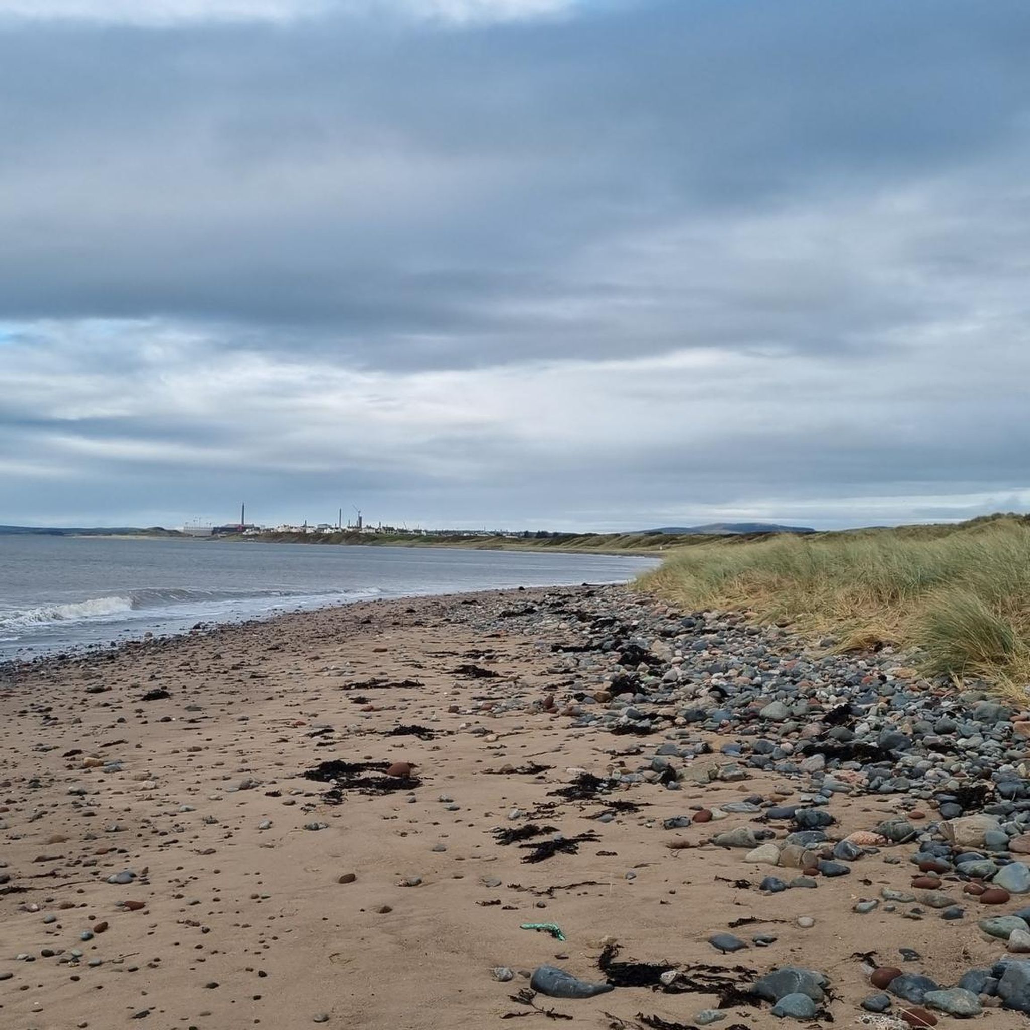
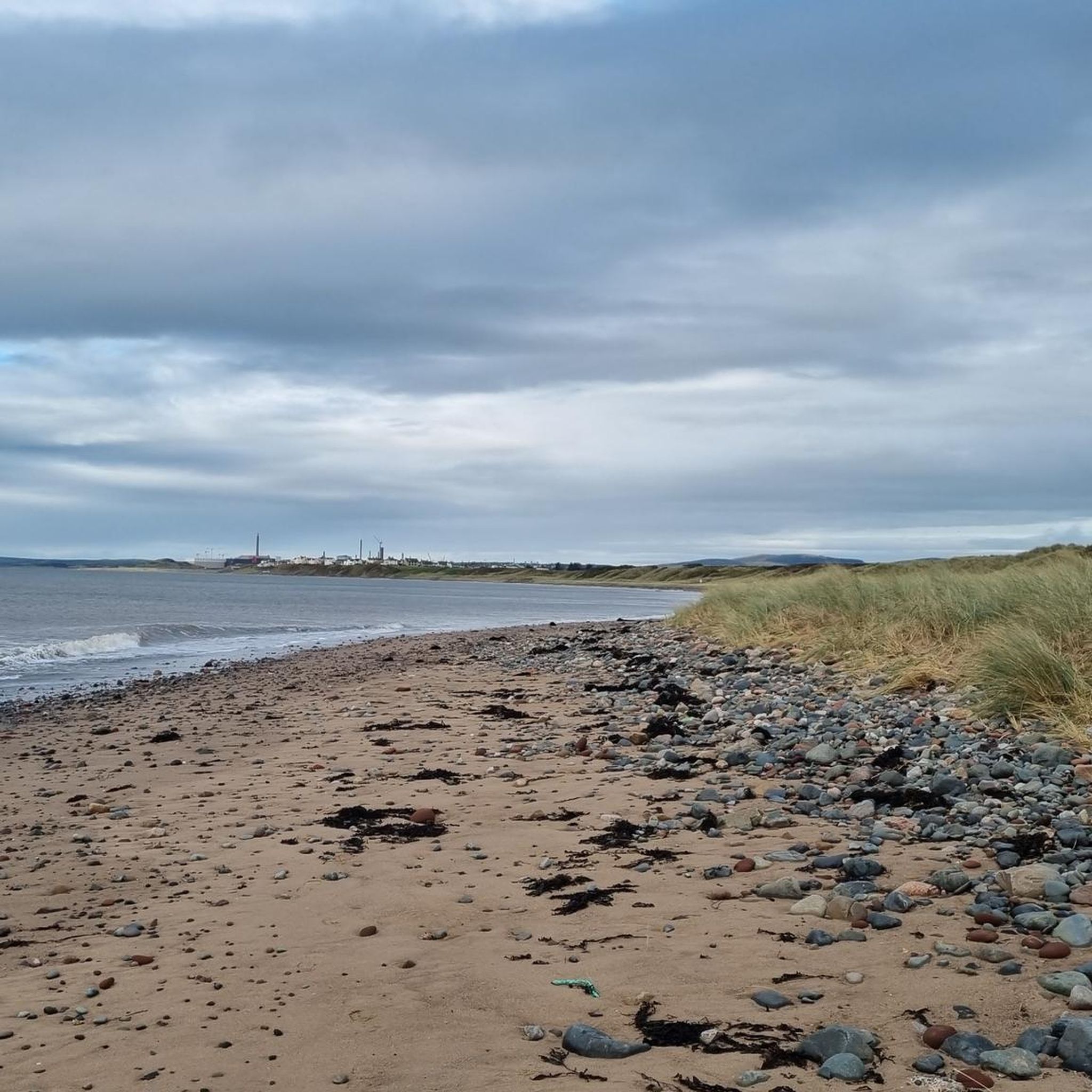
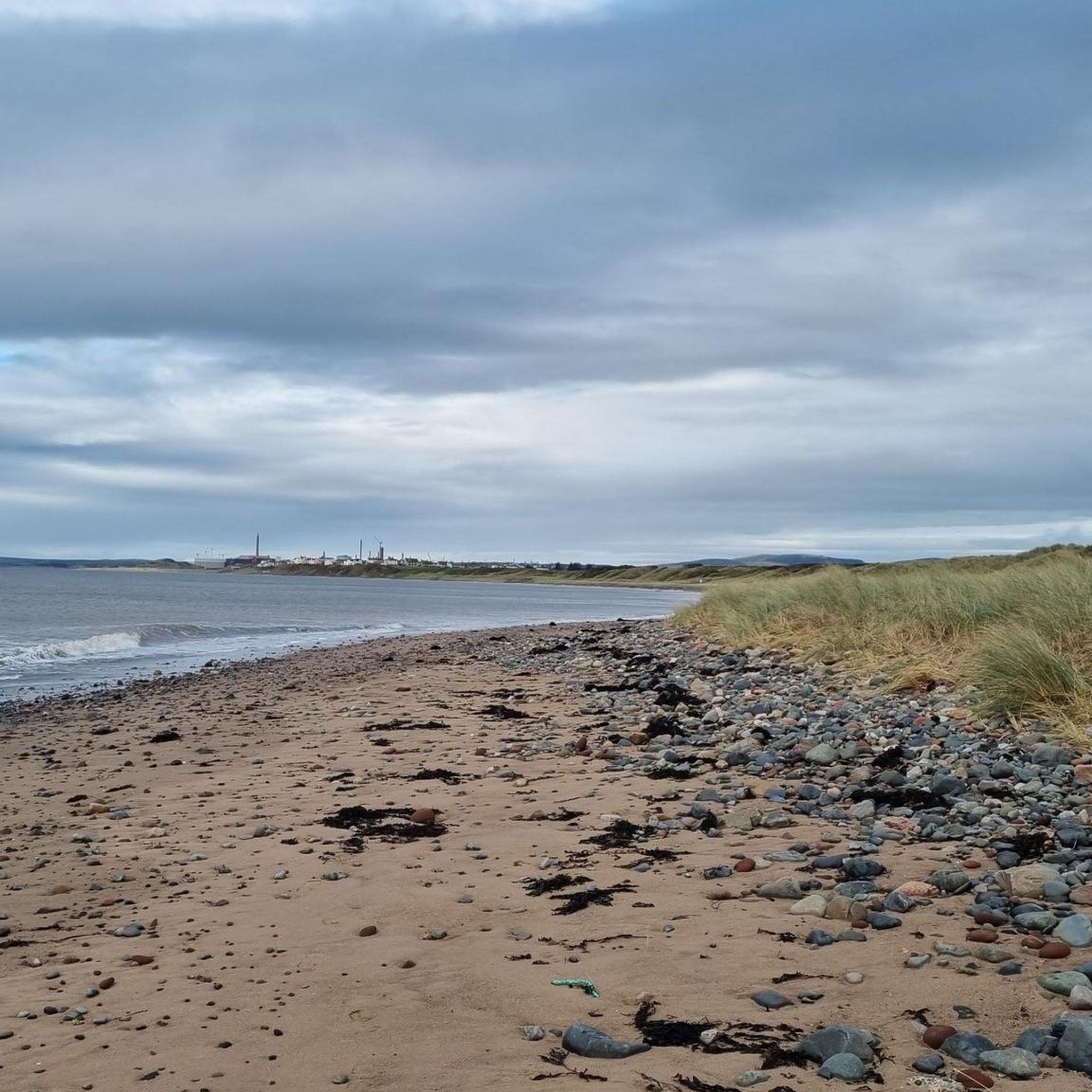
Gravel biking around Drigg And Carleton offers routes that combine coastal scenery with views of the western fells, situated at the boundary of the Lake District National Park. The terrain features unpaved segments, gravel tracks, and tranquil country roads, providing varied surfaces for exploration. This area includes extensive sand dunes, estuaries, and moorlands, with bridleways and coastal paths often providing suitable unpaved sections. The region's gravel routes frequently incorporate dirt and gravel roads alongside rail trails.
Best gravel bike trails…
Last updated: August 26, 2026
9
riders
47.6km
03:06
510m
510m
Hard gravel ride. Very good fitness required. You may need to push your bike for some segments of this route.
3
riders
21.6km
01:22
270m
270m
Moderate gravel ride. Good fitness required. Mostly paved surfaces. Suitable for all skill levels.

Sign up for free
2
riders
28.4km
02:01
400m
400m
Moderate gravel ride. Good fitness required. Mostly paved surfaces. Suitable for all skill levels.
Our route recommendations are based on thousands of hikes, rides, and runs completed by other people on komoot.
Start today with a free account
Your next adventure awaits.
Login or Signup
Tips from the Community

This part after the bridge along the railroad is not for biking, and the gate vas impossible to get theoug. We had to lift our bikes over.
0
0

If heading north along the coast towards Sellafield follow the track on the seaward side of the railway all the way up to the Calder, then it's a loop under the railway and over the River
0
0
Great gravel track through the forest between Eskdale and Muncaster castle. A lovely ride
0
0


Remains of the Roman Bath House. There was a fort on the other side of the road extending to the cliffs along the sea shore.
0
0

Stubshead Hill 68.3m P19.5 (224ft) (Hill ID: 511001) [JNSA s17538] Lake District NP Definitive List summit
0
0
TP6446 Thornbank S5764 Lake District National Park Trig Pillar
0
0

Absolutely beautiful area, the viaduct is narrow you need to be careful crossing
0
1
Frequently Asked Questions
How many gravel bike trails are available around Drigg And Carleton?
There are several gravel bike trails around Drigg And Carleton, with komoot featuring 6 routes. These range from moderate to difficult, offering diverse experiences for gravel bikers.
What kind of terrain can I expect on gravel bike trails in Drigg And Carleton?
The terrain around Drigg And Carleton is quite varied, combining coastal scenery with views of the western fells. You'll encounter unpaved segments, dedicated gravel tracks, tranquil country roads, and dirt roads, often incorporating sections of bridleways and coastal paths. Routes frequently mix these surfaces, including rail trails.
Are there any family-friendly gravel biking options in Drigg And Carleton?
While many routes in the immediate area feature challenging sections or significant elevation, the broader region offers options. For a more moderate experience, consider routes like the Ravenglass Viaduct – Hardknott Pass Climb loop from Eskdale, which is 21.6 km long and rated moderate. Always check the route details for specific difficulty and terrain suitable for your family's experience level.
What are some notable natural features or landmarks to see while gravel biking in the area?
Drigg And Carleton offers stunning natural beauty. You can enjoy views of the western fells, including peaks like Illgill Head and Seatallan summit. The area also features significant bodies of water such as Wast Water, Blea Tarn, and Devoke Water. Don't miss the extensive Drigg Beach and Dunes, a Local Nature Reserve known for its unique habitats.
Are there any circular gravel bike routes available?
Yes, many of the gravel routes in the area are designed as loops. For example, the challenging Seascale Beach – Hardknott Pass Climb loop from Seascale and the moderate Seascale Beach – Seascale Beach loop from Ponsonby are both circular routes, allowing you to start and finish at the same point.
What is the best time of year for gravel biking in Drigg And Carleton?
The region's weather can be variable. Spring and autumn generally offer pleasant temperatures and fewer crowds, making them ideal. Summer can be great, but be prepared for potential rain. Winter riding is possible, but some unpaved sections might become muddy or challenging due to weather conditions. Always check local forecasts before heading out.
What are the difficulty levels of gravel bike trails in Drigg And Carleton?
The gravel bike trails in Drigg And Carleton cater to various skill levels. You'll find a mix of moderate routes, such as the Ravenglass Viaduct – Hardknott Pass Climb loop from Eskdale, and more difficult options like the Ravenglass Viaduct – Quiet Lanes from Ravenglass loop from Eskdale, which features significant elevation gain.
Can I find routes that offer views of the Ravenglass Viaduct?
Yes, several routes provide views of the Ravenglass Viaduct. The Ravenglass Viaduct – Quiet Lanes from Ravenglass loop from Eskdale is a challenging route that specifically highlights this landmark, traversing quiet country lanes with scenic vistas.
Are there any routes that include coastal sections?
Absolutely. The area is on the Irish Sea coastline, and many routes incorporate coastal elements. For instance, the Seascale Beach – Hardknott Pass Climb loop from Seascale starts near Seascale Beach, offering a coastal beginning before heading inland. The Drigg Beach and Dunes also form a significant part of the coastline, with bridleways often providing unpaved sections suitable for gravel biking.
What do other gravel bikers say about the trails in Drigg And Carleton?
Over 20 gravel bikers have explored Drigg And Carleton's varied terrain using komoot. They often praise the diverse landscapes, from coastal paths to moorlands and views of the Lake District fells, and appreciate the network of routes that offer options for different ability levels.
Are there any routes that venture into the Lake District National Park from Drigg And Carleton?
Drigg And Carleton is situated at the boundary of the Lake District National Park, meaning many routes offer views of the western fells and can lead into the park. The Esk Trail bridleway, for example, leads directly into the Lake District National Park from nearby Ravenglass, offering excellent unpaved sections for gravel biking.
What is the longest gravel bike trail available in the area?
The longest gravel bike trail listed is the Ravenglass Viaduct – Quiet Lanes from Ravenglass loop from Eskdale, which covers 51.1 km (31.7 miles) and is rated as difficult due to its length and elevation gain.
Are there opportunities for challenging climbs on gravel bike routes?
Yes, the region offers routes with significant climbs, especially those venturing towards the fells. The Seascale Beach – Hardknott Pass Climb loop from Seascale, for instance, includes a substantial 502 meters of elevation gain, providing a challenging experience for experienced riders.
Most popular routes around Drigg And Carleton
Most popular attractions around Drigg And Carleton

Get inspired with the komoot mobile app


Explore more
Browse the best Gravel rides in other regions.
