The best gravel rides around Ryton
4.6
(12)
77
riders
4
rides
Gravel biking around Ryton offers a diverse landscape for off-road cycling. The region features a mix of riverside paths, woodlands, and country lanes, providing varied terrain for gravel cyclists. While the name "Ryton" appears in different parts of England, this guide focuses on routes that traverse areas with mixed surfaces suitable for gravel bikes, including sections with elevation changes and natural features. The trails often combine well-maintained paths with more natural, unpaved sections.
Best gravel bike trails around Ryton
- The…
Last updated: October 20, 2026
4.0
(5)
42
riders
46.6km
02:43
400m
400m
Moderate gravel ride. Good fitness required. Mostly paved surfaces. Suitable for all skill levels.
5.0
(1)
17
riders
58.6km
03:31
600m
600m
Hard gravel ride. Very good fitness required. Mostly paved surfaces. Suitable for all skill levels.

5.0
(3)
4
riders
49.0km
03:04
380m
380m
Moderate gravel ride. Good fitness required. Mostly paved surfaces. Suitable for all skill levels.
4.0
(1)
5
riders
37.8km
02:12
460m
460m
Hard gravel ride. Very good fitness required. Mostly paved surfaces. Suitable for all skill levels.
3
riders
44.3km
03:06
710m
710m
Hard gravel ride. Very good fitness required. Mostly paved surfaces. Suitable for all skill levels.
Our route recommendations are based on thousands of hikes, rides, and runs completed by other people on komoot.
Start today with a free account
Your next adventure awaits.


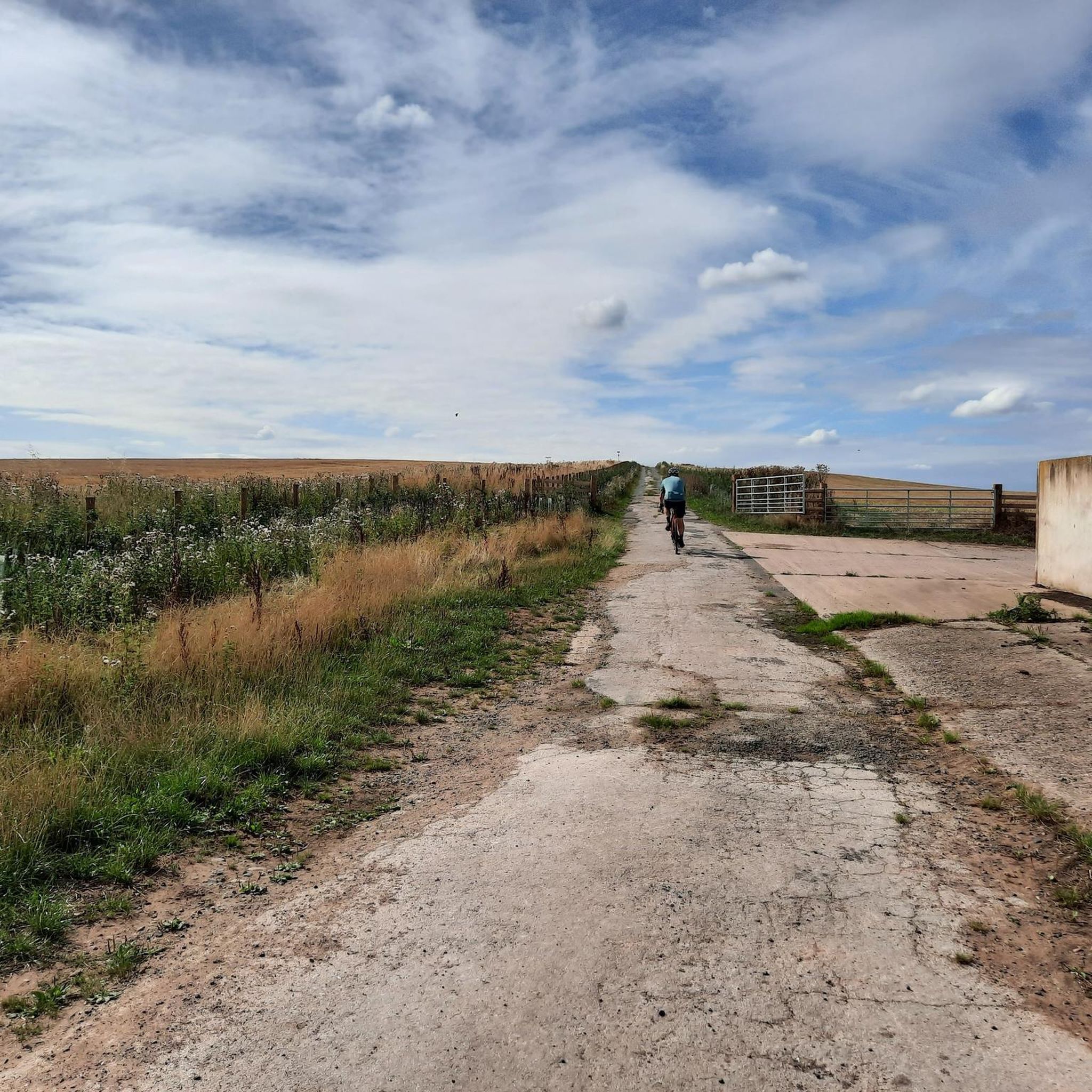
Tips from the Community

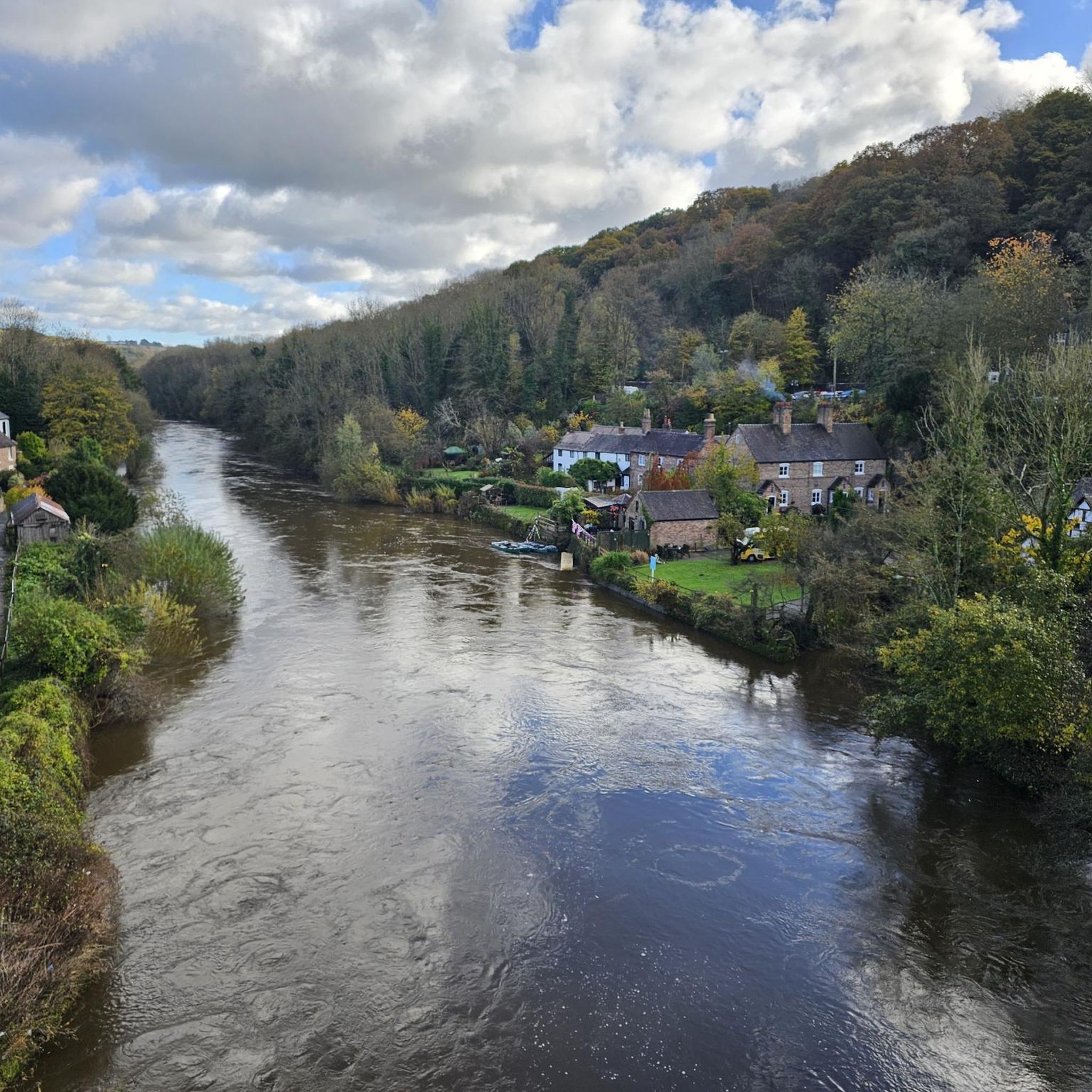
Lovely old bridge that marks the beginning of the end of the Geopark Way - there is just the climb to the castle to go!
0
0


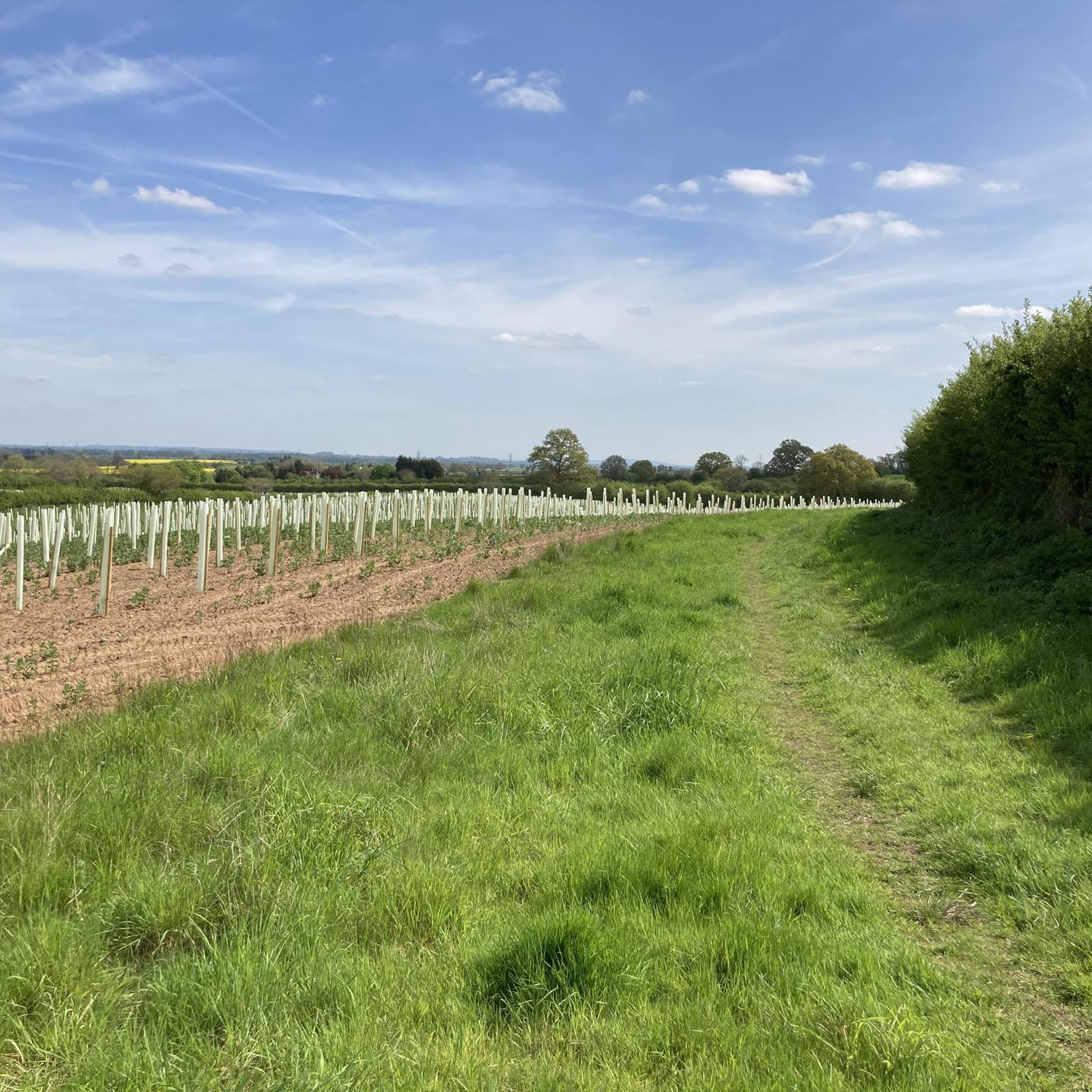
Very muddy in places and clearly frequented by the local horsey community cus it's covered in horse deposits
0
0
BRIDGNORTH, St. Mary Magdalene. Photo taken from the bridge
0
0
Frequently Asked Questions
What kind of terrain can I expect on gravel bike trails around Ryton?
Gravel biking around Ryton offers a diverse landscape, featuring a mix of riverside paths, woodlands, and country lanes. You'll encounter varied terrain, from well-maintained paths to more natural, unpaved sections, often with notable elevation changes.
Are there any family-friendly gravel biking options in Ryton?
While the routes listed in this guide tend towards moderate to difficult, the broader Ryton area, particularly places like Ryton Pools Country Park in Warwickshire, offers excellent surfaced paths suitable for easier cycling, which can be great for families. For specific routes in this guide, consider options like Coalport Bridge – View of the Iron Bridge loop from Madeley, which is a moderate 22.9 km ride.
Can I bring my dog on the gravel bike trails in Ryton?
Many of the natural areas around Ryton, such as Ryton Willows Local Nature Reserve in Tyne and Wear, are suitable for walking with dogs. When cycling, it's generally advisable to keep dogs on a lead, especially in nature reserves or areas with livestock. Always check local regulations for specific trails regarding dogs, particularly if they are protected wildlife areas.
What are some notable landmarks or attractions I can see along the gravel bike routes?
Several routes in the Ryton area pass by significant historical and natural attractions. You might encounter landmarks such as The Iron Bridge (Ironbridge Gorge), the historic Coalport Bridge, or the Bridgnorth Bridge. The area also features natural highlights like Patshull Lake and Badger Village Ponds.
Are there any circular gravel bike routes available in Ryton?
Yes, many of the gravel bike routes around Ryton are designed as loops, allowing you to start and finish at the same point. Examples include the challenging View of the Iron Bridge – Coalport Bridge loop from Ironbridge and the moderate The Bell – Forest Cycle Track loop from Bilbrook.
What is the best time of year to go gravel biking in Ryton?
Spring and autumn generally offer the most pleasant conditions for gravel biking in Ryton, with milder temperatures and beautiful scenery. Spring brings blooming wildflowers, especially in woodlands like Ryton Wood, while autumn showcases vibrant foliage. Summer can be enjoyable, but be prepared for potentially warmer weather. Winter riding is possible, but trails may be muddy or icy, especially in unpaved sections.
Where can I find parking for gravel bike trails in Ryton?
Parking availability varies by specific trailheads. For routes originating from towns like Ironbridge or Bridgnorth, public car parks are generally available. For areas like Ryton Willows Local Nature Reserve or Ryton Pools Country Park, dedicated parking facilities are usually provided. It's always recommended to check the starting point of your chosen route for specific parking information.
How can I access Ryton's gravel bike routes using public transport?
Access to Ryton's gravel bike routes via public transport depends on the specific starting point of your chosen trail. Major towns like Newcastle upon Tyne (for Ryton, Tyne and Wear) or Coventry/Warwick (for Ryton Pools Country Park, Warwickshire) have good rail and bus links. From these hubs, local bus services may connect to villages or areas closer to trailheads. Always check local bus timetables and policies regarding bicycles before planning your trip.
Are there any cafes or pubs along the gravel bike routes in Ryton?
The Ryton area, particularly near towns and villages, offers opportunities for refreshment stops. Many routes will pass through or near communities where you can find local cafes, pubs, or shops. For example, routes around Ironbridge and Bridgnorth will have options. It's a good idea to plan your route and check for amenities beforehand, especially on longer rides.
What do other gravel bikers enjoy most about gravel biking in Ryton?
The gravel biking experience in Ryton is highly rated by the komoot community, with an average score of 4.6 stars from over 7 reviews. Riders often praise the diverse terrain, which combines riverside paths, woodlands, and country lanes, offering a varied and engaging ride. The mix of moderate and difficult trails also caters to different skill levels, making it appealing to a broad range of gravel cyclists.
Are there any easy gravel bike trails for beginners in Ryton?
While many of the featured routes in this guide are moderate to difficult, the region does offer easier sections. For instance, Ryton Pools Country Park in Warwickshire has excellent surfaced paths that are very suitable for beginners or those looking for a less strenuous ride. Within the guide's listed routes, the Coalport Bridge – View of the Iron Bridge loop from Madeley is a moderate option that could be a good starting point for those building experience.
What is the typical distance and elevation gain for gravel bike routes in Ryton?
The gravel bike routes around Ryton vary significantly in length and elevation. You can find rides ranging from approximately 23 kilometers (14 miles) with around 320 meters (1050 feet) of elevation gain, such as the Coalport Bridge – View of the Iron Bridge loop from Madeley, up to longer and more challenging options like the View of the Iron Bridge – Coalport Bridge loop from Telford Central, which covers about 45 kilometers (28 miles) with over 725 meters (2380 feet) of climbing.
Most popular attractions around Ryton

Get inspired with the komoot mobile app


Explore more
Browse the best Gravel rides in other regions.
