The best gravel rides around Satley
4.5
(29)
370
riders
16
rides
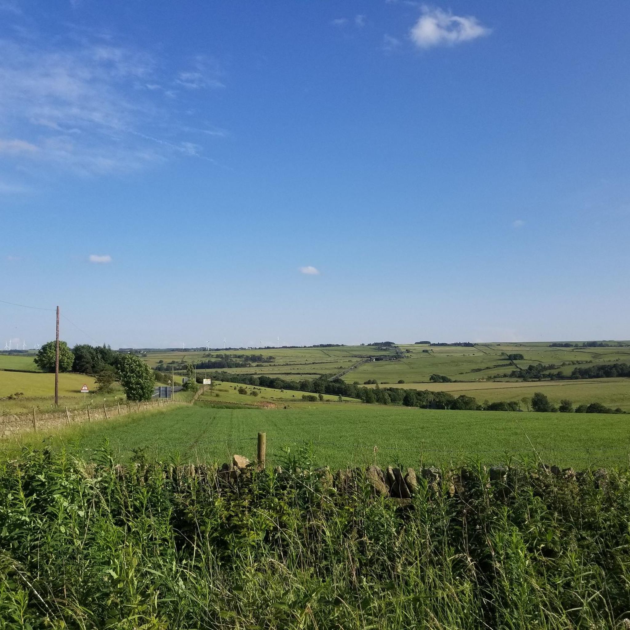
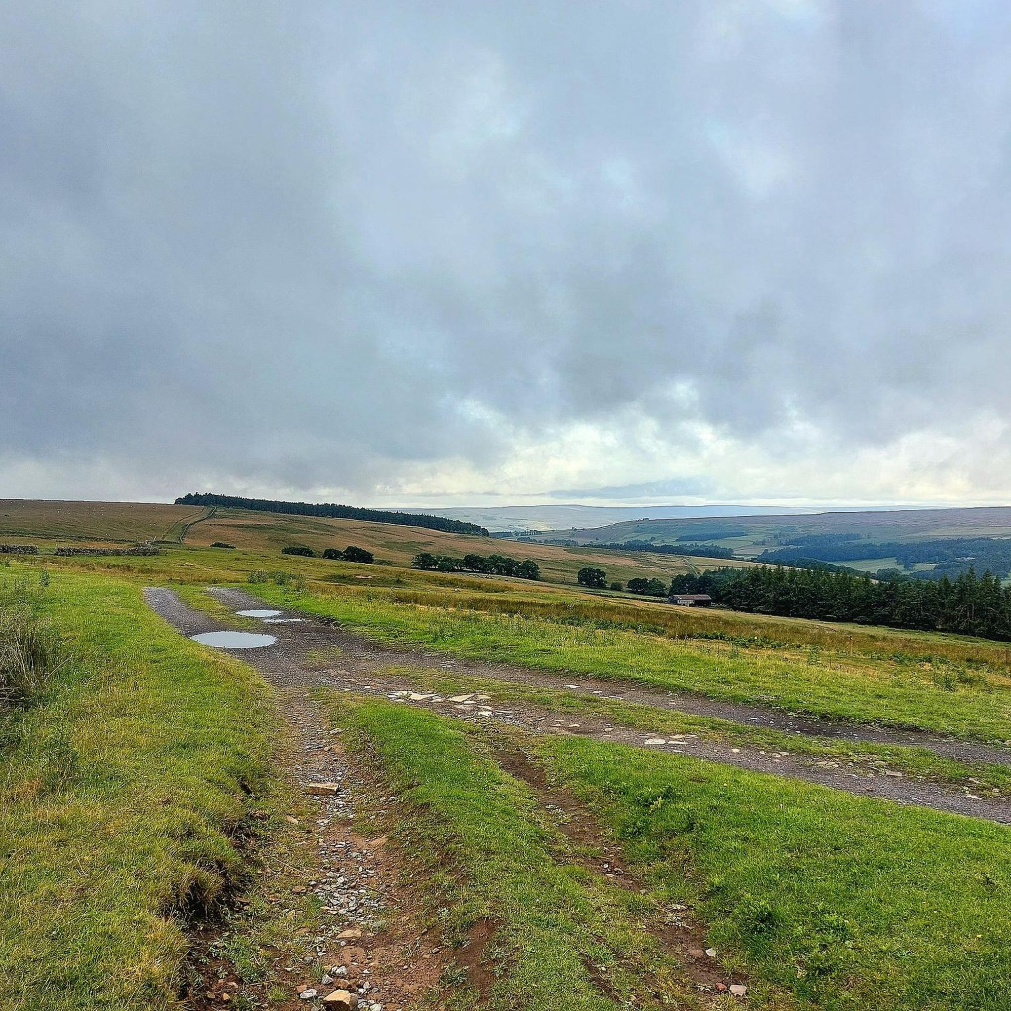
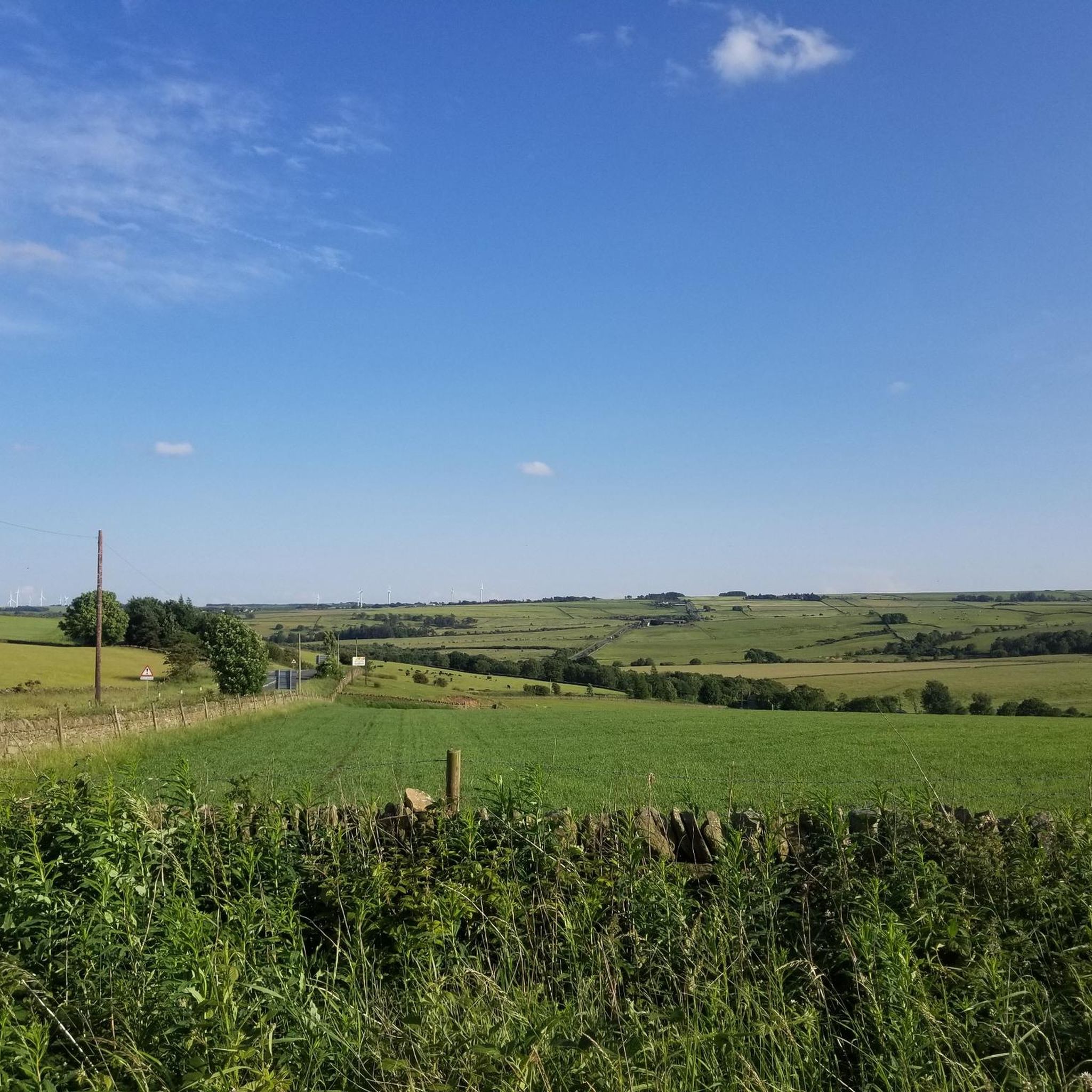
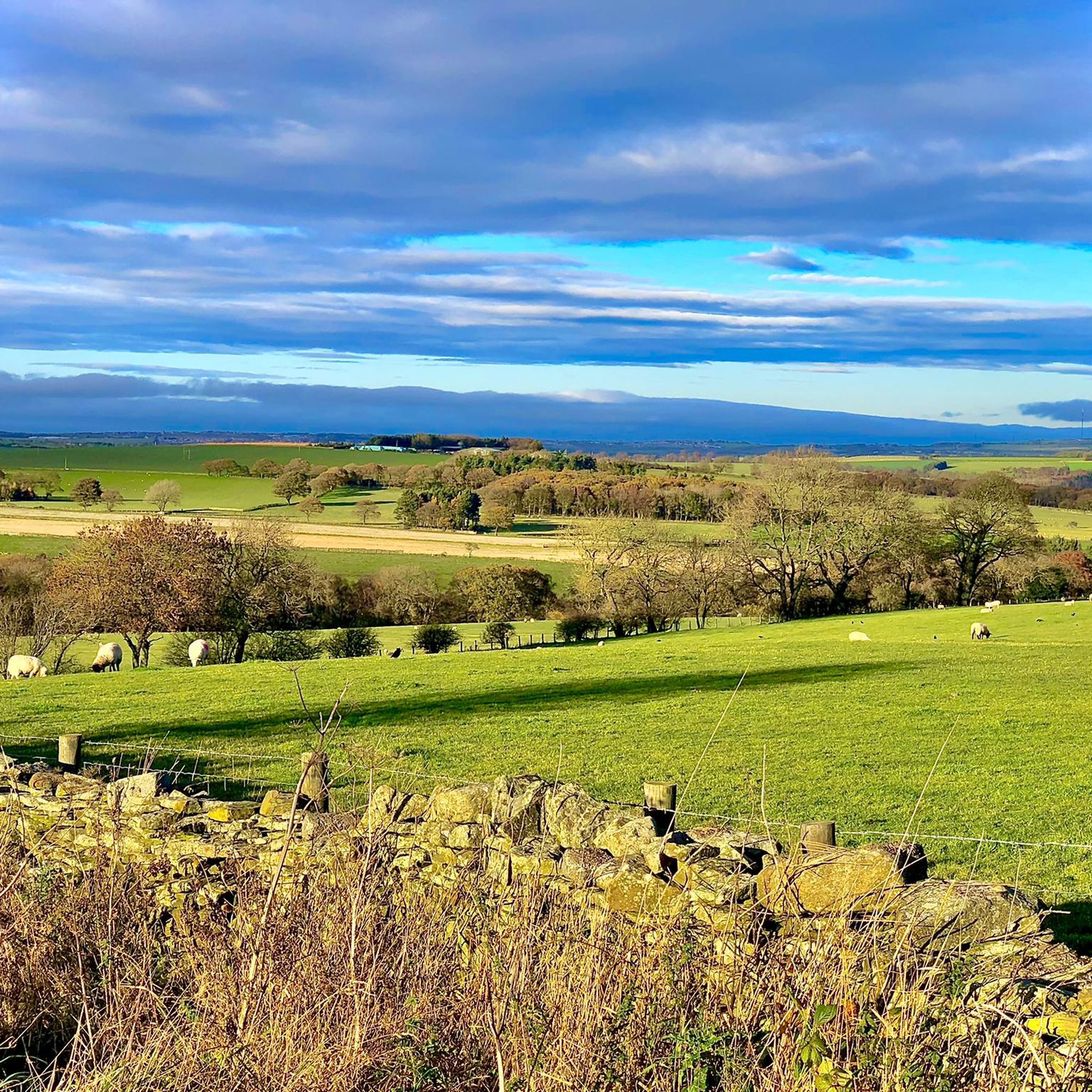
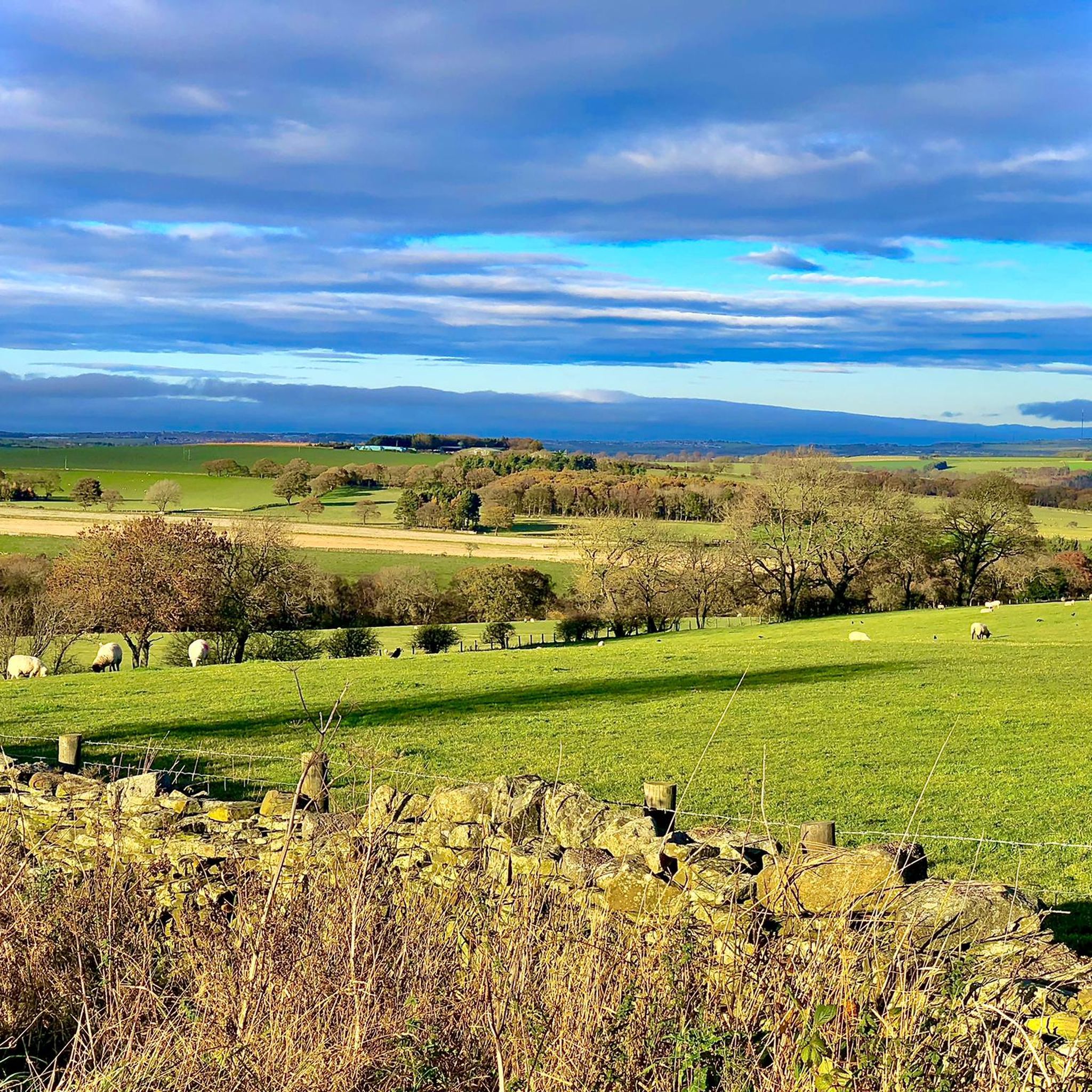
Gravel biking around Satley offers routes through the picturesque landscapes of County Durham, characterized by narrow valleys, rolling hills, and verdant fields. The area features a mix of patchwork farmland, woodland, and wetland, providing varied terrain for cyclists. Historical railway structures, such as viaducts, are often integrated into the routes, adding a unique dimension to the rides. This region provides a diverse environment for gravel biking, from gentle paths to more challenging ascents.
Best gravel bike trails around Satley
- The…
Last updated: October 20, 2026
3.0
(4)
52
riders
43.4km
02:22
370m
370m
Moderate gravel ride. Good fitness required. Mostly paved surfaces. Suitable for all skill levels.
5.0
(1)
23
riders
23.9km
01:16
120m
120m
Easy gravel ride. Great for any fitness level. Mostly paved surfaces. Suitable for all skill levels.

4.4
(5)
25
riders
52.6km
02:55
420m
420m
Moderate gravel ride. Good fitness required. Mostly paved surfaces. Suitable for all skill levels.
4.7
(3)
52
riders
57.9km
03:02
350m
350m
Moderate gravel ride. Good fitness required. Mostly paved surfaces. Suitable for all skill levels.
5.0
(2)
13
riders
49.2km
02:36
330m
330m
Moderate gravel ride. Good fitness required. Mostly paved surfaces. Suitable for all skill levels.
Get access to more routes and recommendations from other explorers.
Already have an account?
Our route recommendations are based on thousands of hikes, rides, and runs completed by other people on komoot.
Start today with a free account
Your next adventure awaits.
Tips from the Community

The viaduct, an impressive engineering landmark, spans a broad valley, providing scenic views across the tree canopy and down to the River Derwent below.
0
0


The Hagg Bank Bridge, also known as the Points Bridge or Half-Moon Bridge, is a Grade II* listed pedestrian bridge spanning the River Tyne at Wylam. It was originally built in 1876 as a railway bridge for the Scotswood, Newburn & Wylam Railway. W.G. Laws's design incorporated a 73-metre single rib arch with no piers in the river, an innovation at the time and likely inspiration for later bridges such as the Tyne Bridge and Sydney Harbour Bridge. Following the closure of the railway line in 1968, the bridge was reopened in 1975 as a walkway and cycle path linking Wylam with the Tyne Riverside Country Park.
8
0


Great off-road route with an extremely gentle slope in a westerly direction!
1
0
Frequently Asked Questions
How many gravel bike trails are there around Satley?
There are nearly 20 gravel bike trails around Satley, offering a diverse range of experiences. These routes cater to various skill levels, from easy rides to more challenging ascents through the picturesque County Durham landscape.
What kind of landscapes can I expect on gravel bike trails near Satley?
The gravel bike trails around Satley traverse a rich variety of landscapes. You'll encounter narrow valleys, rolling hills, and verdant fields, characteristic of County Durham's picturesque countryside. The routes often feature a mix of patchwork farmland, woodland, wetland, and moorland, providing constantly changing scenery. Many trails also incorporate historical railway structures, adding a unique dimension to your ride.
Are there any easy gravel bike routes suitable for beginners or families?
Yes, there are options for easier rides. For instance, the Lanchester Valley Path – River Browney loop from Lanchester is an easy 14.9 miles (23.9 km) path that explores the Lanchester Valley Path and follows the River Browney, offering a gentler ride through the countryside. This route is ideal for those looking for a less strenuous gravel biking experience.
What are some notable landmarks or attractions I might see along the gravel trails?
Many trails offer views of significant local landmarks and natural features. You might pass by impressive structures like the Hownsgill Viaduct, a former railway bridge. Natural attractions include the Waskerley Way, a traffic-free path, and various reservoirs such as Derwent Reservoir and Hisehope Reservoir. Further afield, you might even spot the unique Elephant Trees.
What do other gravel bikers say about the trails in Satley?
The gravel biking routes in Satley are highly rated by the komoot community, with an average score of 4.6 stars from over 20 reviews. Riders often praise the varied terrain, the scenic valley views, and the integration of historical railway paths, which make for engaging and diverse rides.
Are there any circular gravel biking routes available?
Yes, several routes are designed as loops, allowing you to start and finish in the same location. An example is the View of Lanchester Valley – Deerness path loop from Consett, which is a popular 26.9-mile (43.4 km) circular trail offering views of the Lanchester Valley and following parts of the Deerness path.
Where can I find parking for gravel biking routes near Satley?
While specific parking details vary by route, many trailheads and popular starting points, especially for routes like the Waskerley Way or those originating from larger villages like Consett or Lanchester, typically offer designated parking areas. It's advisable to check the individual route details on komoot for the most precise parking information.
Is public transport available to access gravel biking trails around Satley?
Access to trails around Satley via public transport can be limited due to the rural nature of the area. However, some routes may be accessible from larger towns like Consett or Lanchester, which have bus services. For specific routes, checking local bus schedules to nearby villages would be the best approach.
What is the best season for gravel biking in the Satley area?
The Satley area offers enjoyable gravel biking experiences across multiple seasons. Spring and summer provide lush green landscapes and generally milder weather, while early autumn brings beautiful foliage. The varied terrain, including woodlands and former railway paths, makes for pleasant riding conditions outside of the harshest winter months.
Are there any cafes or pubs near the gravel biking trails for a stop?
Yes, you can find options for refreshments. For example, the Hamsterley Forest Café is a highlight in the broader area. Additionally, villages like Satley, Consett, and Lanchester, which serve as starting points or pass-throughs for many routes, often have local pubs and cafes where you can refuel.
Are there any challenging gravel bike routes for experienced riders?
Yes, for experienced riders seeking a challenge, there are more demanding routes. The area features trails with significant elevation changes, such as the View of Lanchester Valley – Deerness path loop from Tow Law, a 32.7-mile (52.7 km) trail with over 400 meters of ascent, leading through varied terrain including valley views and sections of the Deerness path.
Can I bring my dog on the gravel biking trails in Satley?
Many public footpaths and bridleways in the County Durham countryside are dog-friendly, provided dogs are kept under control, especially around livestock. When cycling, it's generally acceptable to have a well-behaved dog on a lead, but always be mindful of other trail users and local regulations. Specific rules may apply to certain nature reserves or private lands, so it's best to check individual route details.
Most popular attractions around Satley

Get inspired with the komoot mobile app


Explore more
Browse the best Gravel rides in other regions.
