The best gravel rides around Nicholforest
4.8
(5)
84
riders
6
rides
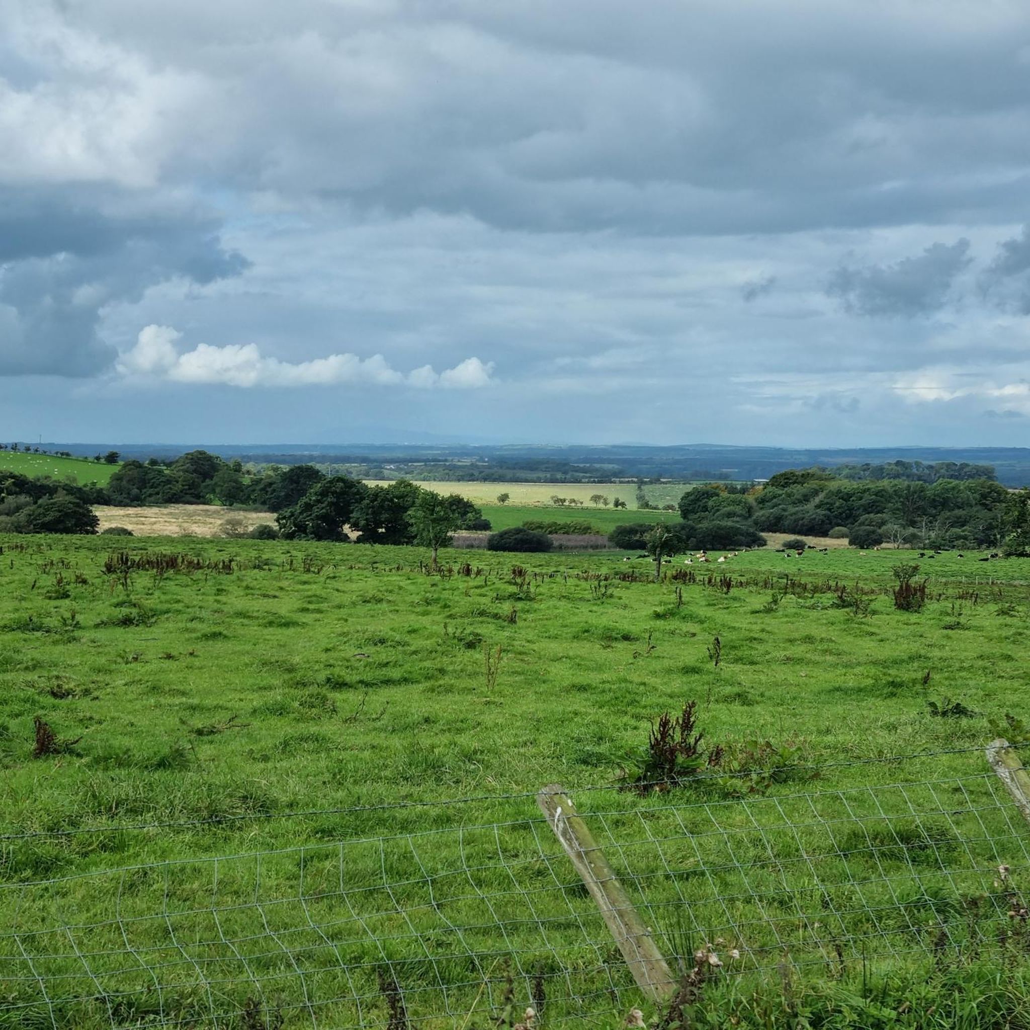
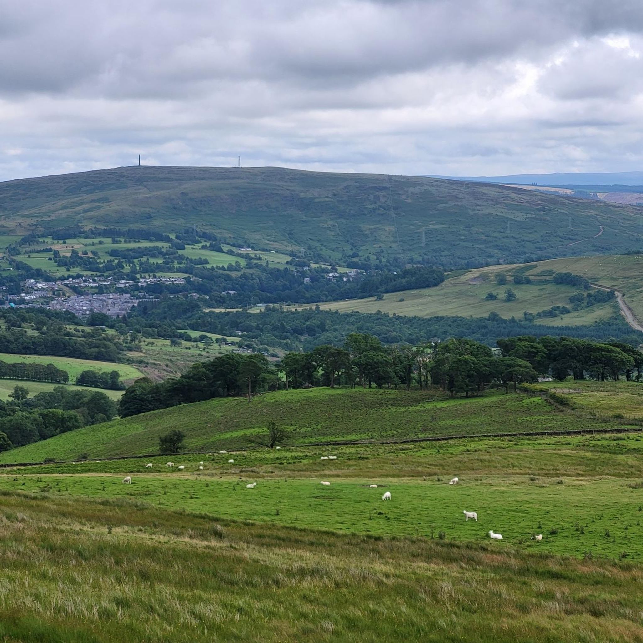
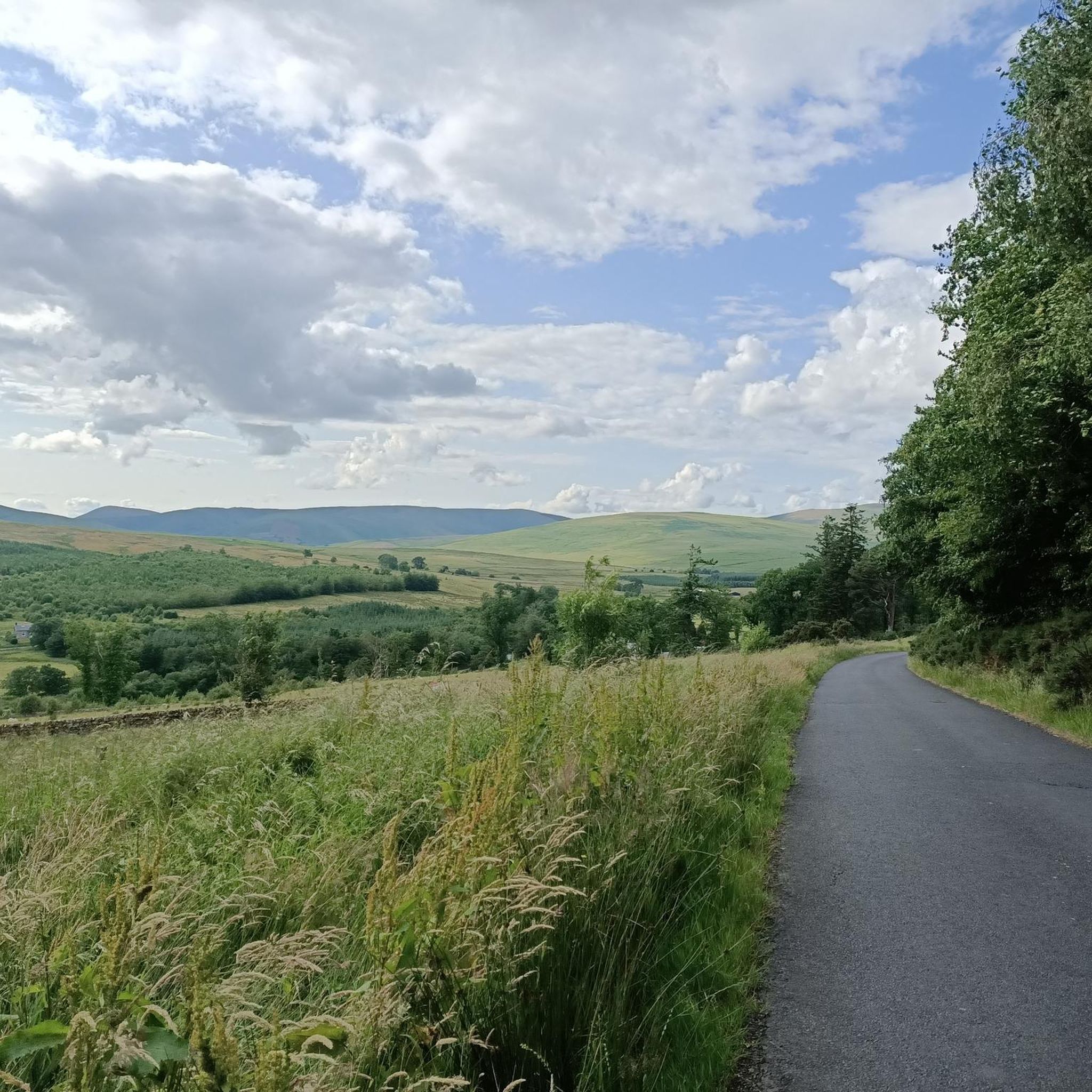
Gravel biking around Nicholforest offers routes through a landscape characterized by hilly terrain and forested areas. The region features waterways like the Kershope burn and River Liddel, which contribute to the varied topography. Historically, the area has seen extensive coniferous afforestation, providing a network of paths suitable for gravel cycling. This environment presents diverse conditions for riders.
Best gravel bike trails around Nicholforest
- The most popular gravel bike trail is Lakeside Way – Kielder Viaduct loop from Newcastleton, a…
Last updated: July 2, 2026
4.3
(3)
39
riders
72.2km
05:43
1,120m
1,120m
Hard gravel ride. Very good fitness required. Mostly paved surfaces. Suitable for all skill levels.
5.0
(1)
34
riders
Hard gravel ride. Very good fitness required. Mostly paved surfaces. Suitable for all skill levels.

Sign up for free
5
riders
Moderate gravel ride. Good fitness required. Mostly paved surfaces. Suitable for all skill levels.
5.0
(1)
7
riders
Hard gravel ride. Very good fitness required. Mostly paved surfaces. Suitable for all skill levels.
2
riders
48.1km
03:19
660m
660m
Hard gravel ride. Very good fitness required. Mostly paved surfaces. Suitable for all skill levels.
Our route recommendations are based on thousands of hikes, rides, and runs completed by other people on komoot.
Start today with a free account
Your next adventure awaits.
Login or Signup
Tips from the Community

At this small sacred monument, there are several reasons why cyclists should not pass by carelessly, but should linger for a moment: Firstly, the church, together with the surrounding cemetery and the 'Bewcastle Cross' standing on the grounds, form a very harmonious unit. Secondly, when contemplating this cross, one looks far back into history, as its creation is dated to the 7th or 8th century. Thirdly, however – and mainly (!) – the artistic design of the obelisk, which rises to about the lower eaves of the church roof, tapering slightly upwards, is extremely noteworthy ('Amy' and 'Joe' have already described this in their contributions). My personal conclusion: Although the actual cross, which once crowned the obelisk, has long been missing, it is still a noteworthy small sacred monument!
0
0

Very fast decent , watch for the sharp left through woodland to Newcastleton
0
0

St Cuthbert Bewcastle Church stands on the foundations of a Roman fort and has roots dating back to the 13th century. Although the current building largely dates from the 18th and 19th centuries, parts of the east chancel are still medieval. The church exudes simplicity and tranquility, with a rectangular plan and a wooden gallery on the west side. Within the church, traces of the Border Reivers' turbulent history can be found, including gravestones bearing names like Armstrong and Routledge.
8
0
Bewcastle Fort (Latin: Fanum Cocidi) was a Roman fort in the English town of Bewcastle. The fort lay north of Hadrian's Wall and was connected by a road (Maiden Way) to the Banna (Birdoswald) fort on the wall. The fort's Latin name (The Shrine of Cocidius) indicates that it enclosed an existing local shrine. The Romans equated the deity Cocidius with Mars, and the fort was possibly built there to control tribal gatherings. In the second century, the Cohors I Dacorum mil. eq. (a mixed cohort with infantry and cavalry in dual garrisons, with auxiliaries from Dacia) was stationed there. A dual garrison cohort was also likely stationed there in the third century. By 400, before Hadrian's Wall was abandoned, Bewcastle Fort had already been abandoned. Around 1092, Bewcastle Castle was built in a corner of the former fortress, using Roman stone. The church of St. Cuthbert is also located within the old fortress walls.
7
0
Bicycle rental, but also coffee or an ice cream.
10
0
This is beautifully done
10
0
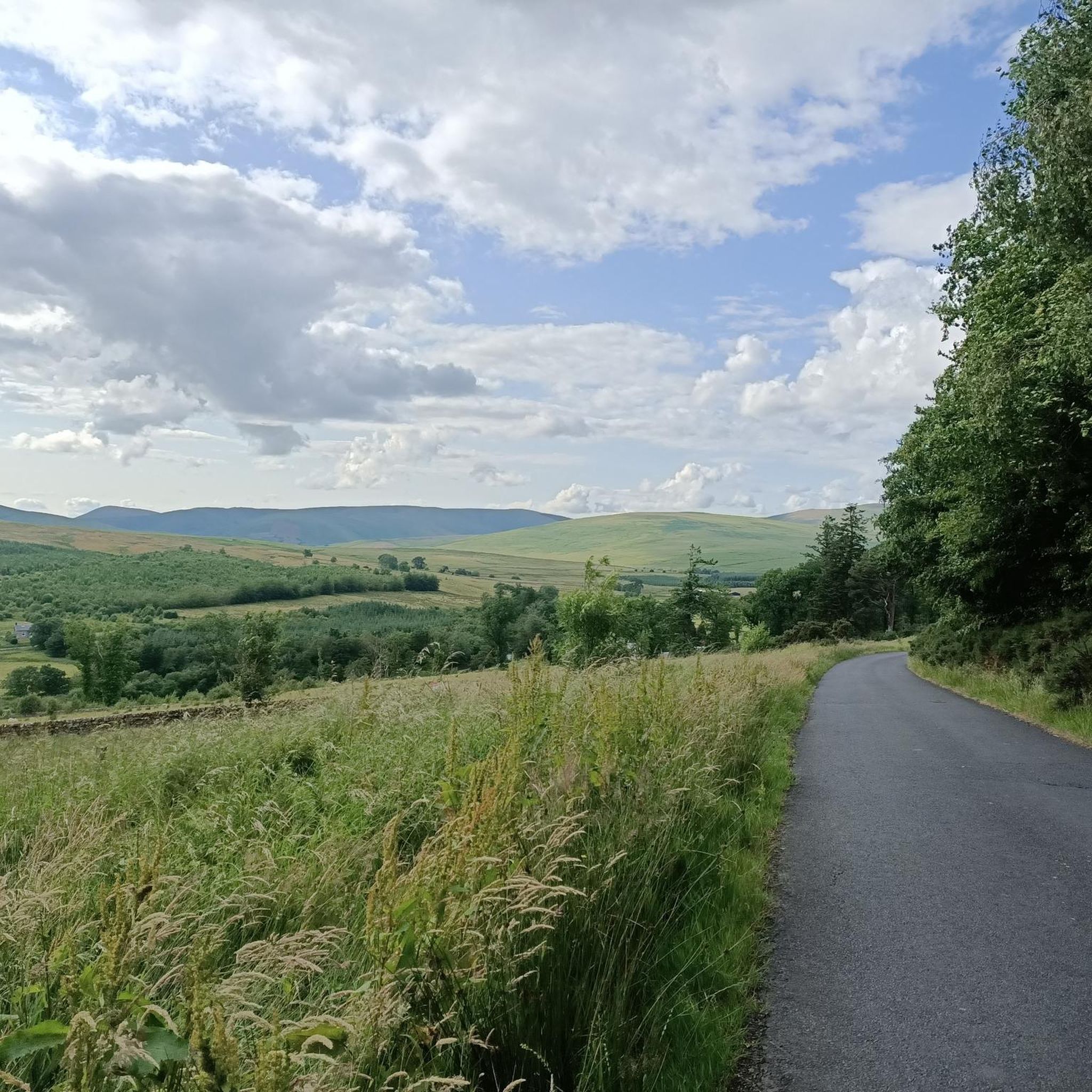
You don't see much here, but the trail is nice and the scenery is picturesque.
11
0
Frequently Asked Questions
How many gravel bike trails are available around Nicholforest?
There are 6 gravel biking routes available around Nicholforest. These routes offer a mix of terrain, primarily through hilly and forested areas, with options ranging from moderate to difficult.
What is the typical terrain like for gravel biking in Nicholforest?
Gravel biking in Nicholforest features a landscape characterized by hilly surfaces and extensive forested paths, largely due to historical coniferous afforestation. You'll also encounter routes alongside waterways like the Kershope burn and River Liddel, contributing to a varied topography.
Are there options for less experienced gravel bikers in Nicholforest?
While most routes in the area are considered difficult, there is one moderate-difficulty option available. The Kershope Burn Border Crossing – Newcastleton Trails loop from Newcastleton is a 13.2-mile path offering a less strenuous ride with a mix of forest paths and open sections.
What are the general conditions of the gravel trails in Nicholforest?
The gravel trails primarily consist of forested paths and tracks, often on hilly surfaces. Given the region's historical afforestation, many routes traverse woodland areas. Conditions can vary with weather, so it's always advisable to check local forecasts before heading out.
Are there any longer, challenging gravel routes for experienced riders?
Yes, experienced riders will find several challenging options. For instance, the Lakeside Way – Kielder Viaduct loop from Newcastleton is a difficult 44.9-mile trail with significant elevation gain. Another demanding route is the Kielder Water Lakeside Trail – Kielder Viaduct loop from Newcastleton, covering 35.2 miles through forested areas and along Kielder Water.
Are there any circular gravel biking routes around Nicholforest?
Many of the gravel biking routes in the Nicholforest area are designed as loops, allowing you to start and finish at the same point. Examples include the Kershope Burn Border Crossing – Newcastleton Trails loop and the Kielder Viaduct – Kielder Castle loop.
What natural features or landmarks can I see while gravel biking in Nicholforest?
The region is known for its waterways, including the Kershope burn and River Liddel, which feature several cascades. You can also explore historical sites. For example, the Bewcastle Church and Cross – View of Bewcastle Castle loop takes you past the Bewcastle Church and Cross and offers views of the Ruins of Bewcastle Castle.
Are there any historical sites or points of interest along the gravel routes?
Yes, the area is rich in history. You can encounter landmarks such as the Bewcastle Church and Cross, and the Ruins of Bewcastle Castle. These are often accessible or visible from various routes, including the Bewcastle Church and Cross loop.
Is there parking available for gravel bikers near the trails?
Information on dedicated parking facilities specifically for gravel bikers in Nicholforest is limited. Given the area's rural nature and historical focus on farming and forestry, formal recreational parking might be scarce. It's advisable to research specific starting points for routes for any available roadside parking or small lay-bys.
How can I reach the gravel biking areas around Nicholforest using public transport?
Public transport options directly to the gravel biking trailheads in Nicholforest are very limited. The region is primarily rural, and services are infrequent. Planning your trip by car is generally recommended for easier access to the starting points of these routes.
Are there any cafes, pubs, or accommodation options near the gravel trails?
Nicholforest itself is a small chapelry with limited amenities. For cafes, pubs, or accommodation, you would likely need to look in nearby villages or towns. It's recommended to plan your refreshment and lodging stops in advance, as options directly adjacent to the trails are scarce.
Are the gravel bike trails around Nicholforest suitable for families?
The majority of gravel bike trails around Nicholforest are rated as difficult due to significant elevation gain and distance. There is one moderate route, the Kershope Burn Border Crossing – Newcastleton Trails loop, which might be more suitable for families with older, experienced children. However, the overall terrain can be challenging for younger or less experienced family members.
What do other gravel bikers enjoy the most about gravel biking in Nicholforest?
The gravel biking routes in Nicholforest are highly rated by the komoot community, with an average score of 5.0 stars. Riders often appreciate the quiet, forested paths and the varied topography, which includes hilly sections and scenic waterways like the Kershope burn. The sense of exploring a less-traveled, historically rich area is also a draw.
Most popular attractions around Nicholforest

Get inspired with the komoot mobile app


Explore more
Browse the best Gravel rides in other regions.
