The best gravel rides around Clydebank East
4.2
(35)
513
riders
30
rides
Gravel bike trails around Clydebank East traverse a varied landscape, characterized by the Forth and Clyde Canal towpaths and the rolling terrain leading towards the Kilpatrick Hills. The area offers a mix of paved and unpaved surfaces, suitable for gravel biking, often incorporating historical routes and natural features. Cyclists can find routes that follow waterways, pass by historical sites like Mugdock Castle, and offer views of the surrounding Scottish countryside. The region provides diverse riding experiences, from flat canal paths…
Last updated: July 3, 2026
4.5
(2)
46
riders
60.4km
03:56
710m
710m
Hard gravel ride. Very good fitness required. Mostly paved surfaces. Suitable for all skill levels.
3.8
(4)
53
riders
45.5km
02:51
480m
480m
Hard gravel ride. Very good fitness required. Mostly paved surfaces. Suitable for all skill levels.

Sign up for free
70
riders
49.5km
03:16
570m
570m
Hard gravel ride. Very good fitness required. You may need to push your bike for some segments of this route.
3.3
(3)
9
riders
34.0km
02:27
500m
500m
Hard gravel ride. Very good fitness required. Mostly paved surfaces. Suitable for all skill levels.
5.0
(1)
24
riders
31.1km
02:03
410m
410m
Moderate gravel ride. Good fitness required. Mostly paved surfaces. Suitable for all skill levels.
Get access to more routes and recommendations from other explorers.
Sign up for free
Already have an account?
Our route recommendations are based on thousands of hikes, rides, and runs completed by other people on komoot.
Start today with a free account
Your next adventure awaits.
Login or Signup
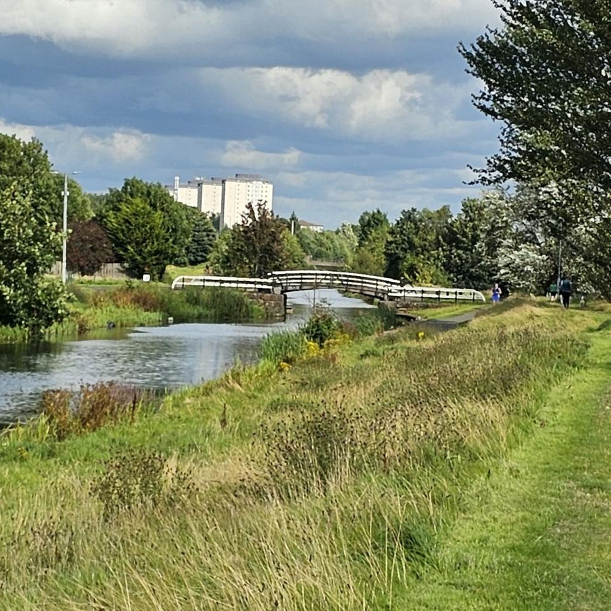
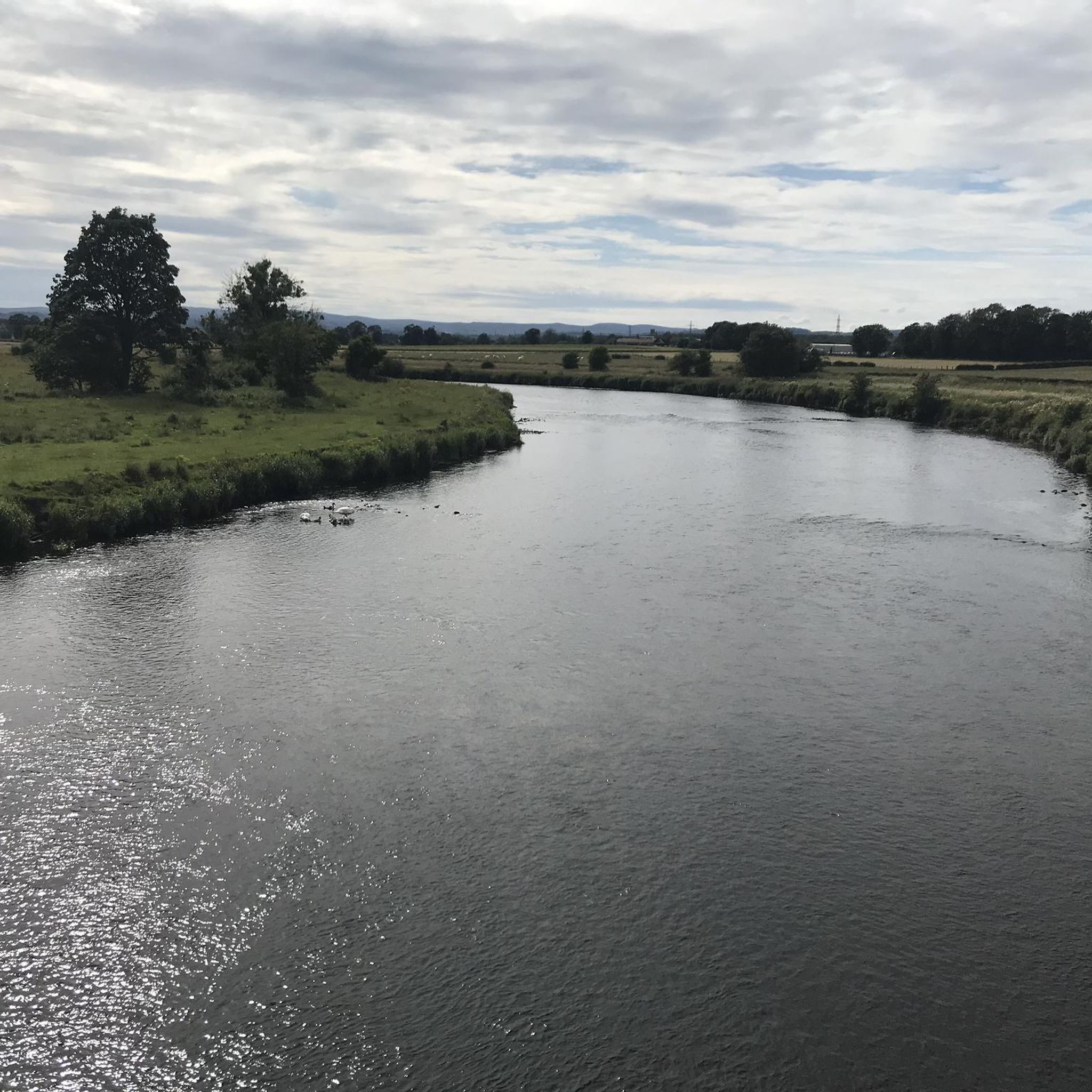
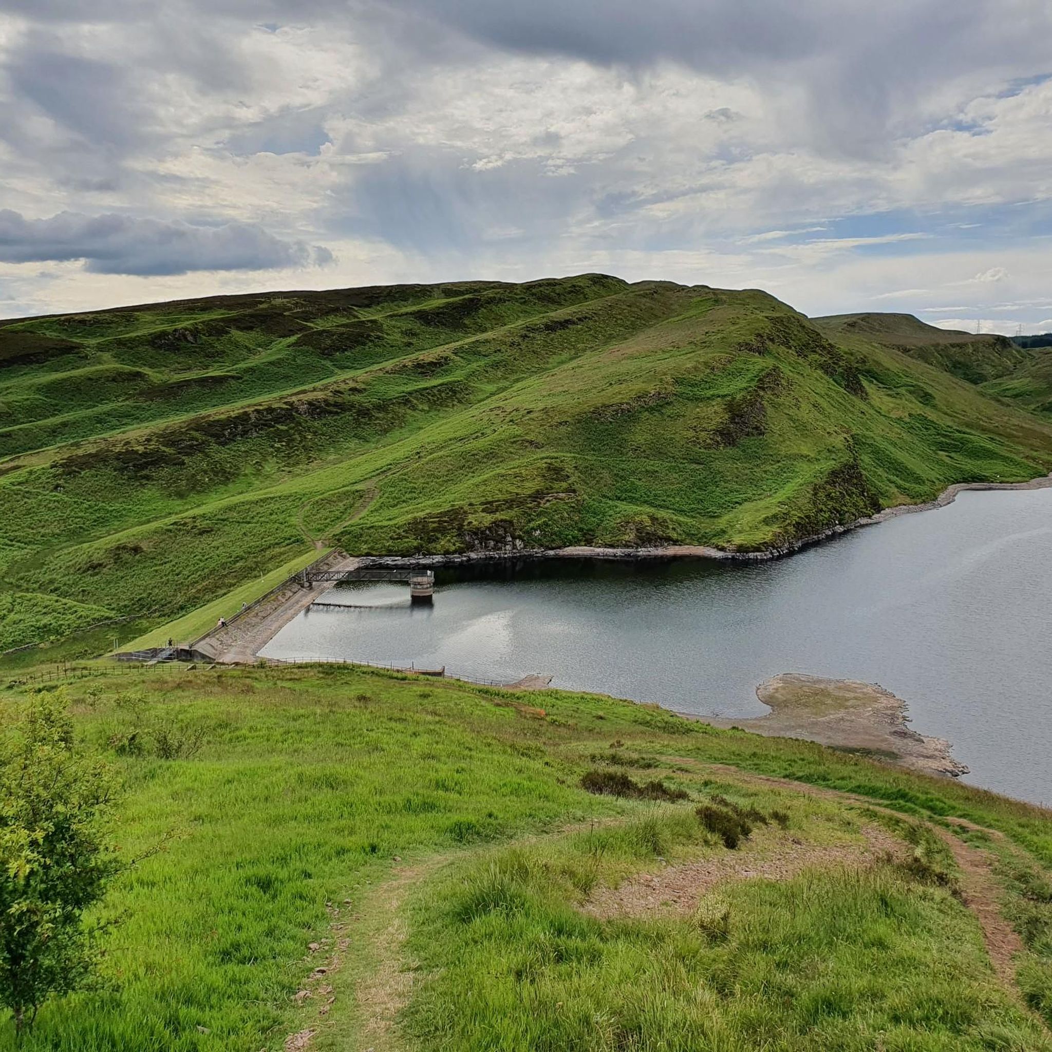
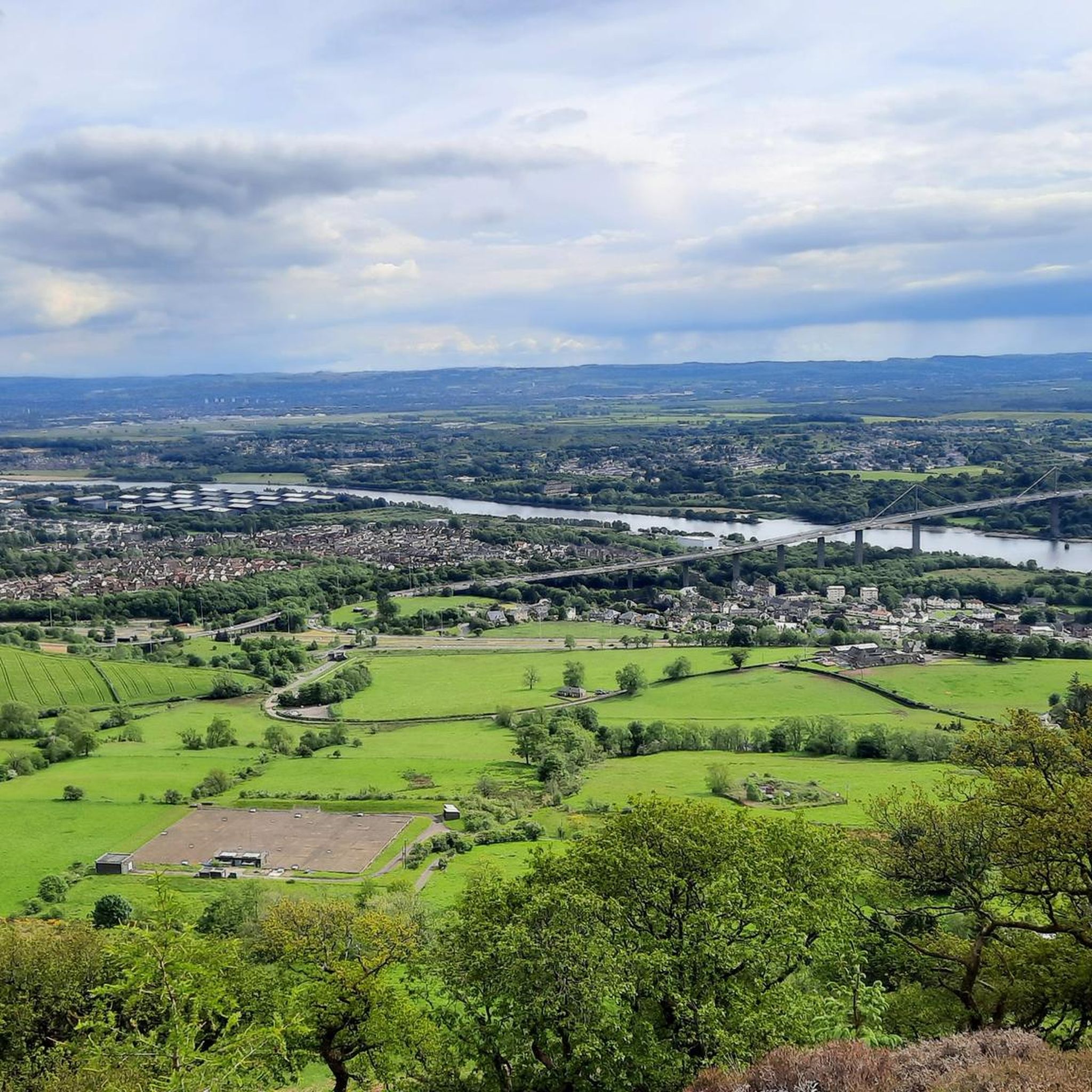
Tips from the Community

Above all, the path through Mugdock-Forest is worth it.
0
0


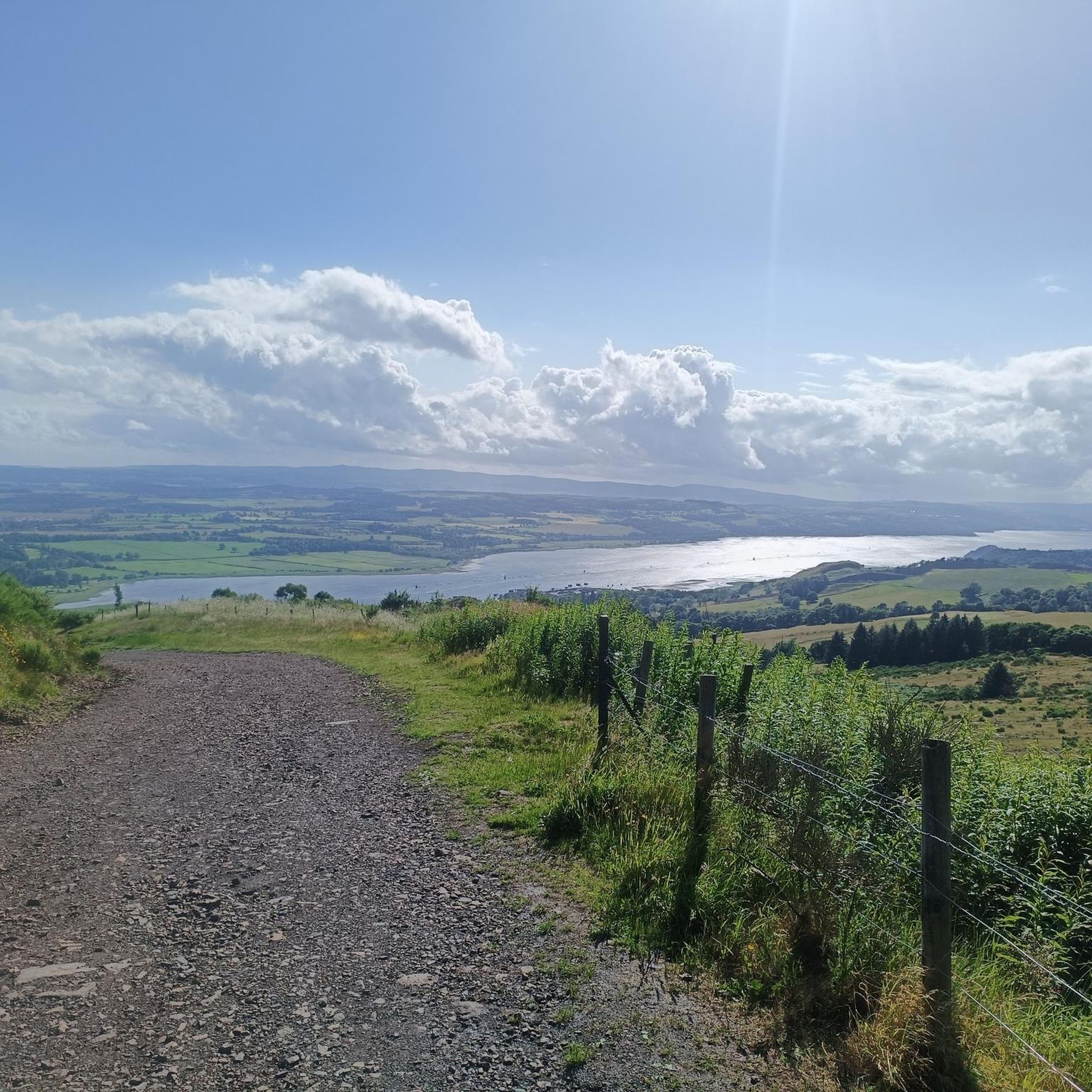
A gravel track that follows the trail of the Katrine Aqueducts that brings Glasgow's drinking water all the way from the Trossachs to Milngavie. Look out for exposed sections of the aqueducts as you travel along, one section in particular has a date marker of 1892 visible from the track. Stunning views over the Kilpatrick Hills and you can always drop down to Glengoyne distillery for a wee dram on the way past!
1
0
The original Castle on this site was built in the 13th century by the Graham family. The Grahams were a family on the rise and the family were made the Earls of Montrose in 1505. The most famous Graham resident of Mugdock Castle was James Graham (1612-1650) known as The Great Montrose. He was a poet and soldier who fought for the cause of King Charles I during the Wars of The Three Kingdoms (more commonly referred to as The English Civil Wars) and was marked as one of the greatest soldiers of the time. So great was his military fame that King Louis XIV offered him the role as Marshal of France. His success ultimately ran out in 1650 with the loss of The Battle of Carbisdale in Rosshire. Montrose was betrayed by a fellow Scotsman and was ultimately Hung, Drawn and Quartered for his part in the war. His campaigns were immortalised by Sir Walter Scott in his 1819 novel A Legend of Montrose.
0
0


The start of the West Highland Way is very urban, and the first section will feel more like a country park. Good paths and signs will lead you out of the town towards Loch Lomond.
2
1

Nice to see in the video: https://youtu.be/FTvrh28-ojY
1
0

Just off the road. Video by SeeScotland on YouTube. https://www.youtube.com/watch?v=huTD5TCQbiA
0
0
Frequently Asked Questions
How many gravel bike trails are available in Clydebank East?
Clydebank East offers a diverse selection of over 35 gravel bike trails. These routes cater to various skill levels, including 2 easy, 11 moderate, and 23 difficult options, ensuring there's a ride for every gravel biking enthusiast.
What kind of terrain can I expect on gravel bike trails around Clydebank East?
The terrain around Clydebank East is quite varied. You'll find a mix of paved and unpaved surfaces, often incorporating old towpaths along the Forth and Clyde Canal, as well as rolling terrain leading towards the Kilpatrick Hills. Some routes feature smooth sections, while others can be rough and bumpy, ideal for gravel bikes. Expect scenic views of the canal, historical sites, and the Scottish countryside.
Are there any family-friendly gravel biking options in Clydebank East?
Yes, the Forth and Clyde Canal Towpath offers largely traffic-free, flat, and meandering paths that are suitable for various cycling levels, including families. While specific family-designated gravel routes aren't highlighted, the canal paths provide a gentler introduction to gravel biking in the area.
Where can I find circular gravel bike routes in Clydebank East?
Many of the gravel routes in Clydebank East are designed as loops. For instance, the Trails at Mugdock Country Park – Craigallian Loch loop from Bearsden offers a moderate 21.8 km circular ride. You'll find several other circular options that explore the region's natural features and historical sites.
What historical sites or landmarks can I explore along the gravel trails?
Clydebank East's gravel trails often pass by significant historical sites. You can cycle near Mugdock Castle, which stands on a rocky promontory, or explore sections of the Antonine Wall, a Roman fort at Milton, along the Forth and Clyde Canal. The John Muir Way Gravel Descent – Craigallian Loch loop from Westerton also takes you through parts of the historic John Muir Way.
Are there any natural monuments or scenic viewpoints to discover?
Absolutely! The region boasts several natural highlights. You can visit the striking Craigie Linn Waterfall, particularly impressive after rain, or enjoy the serene views around Craigallian Loch. For panoramic vistas, consider routes that lead towards Duncolm Summit.
What do other gravel bikers say about the trails in Clydebank East?
The gravel biking routes in Clydebank East are highly regarded by the komoot community, with an average rating of 4.2 stars from over 30 reviews. Over 500 gravel bikers have explored the area, often praising the varied terrain, scenic canal paths, and the blend of natural beauty with historical landmarks.
Are there any long-distance gravel biking routes near Clydebank East?
Yes, for those seeking longer adventures, Clydebank East offers routes that can extend into wider natural landscapes. The Aberfoyle Riverside Cycle Path – Lochan Spling Fish Sculpture loop from Bearsden is a challenging 107 km route. Additionally, some routes connect towards Loch Lomond & The Trossachs National Park, providing opportunities for longer bikepacking experiences.
Can I find routes that combine gravel biking with exploring parks or green spaces?
Many routes in the area integrate green spaces and parks. For example, the Craigallian Loch – Trails at Mugdock Country Park loop from Garscadden explores the natural features around Mugdock Country Park. Pollok Country Park, with its tranquil 'I Remember – Scotland's Covid Memorial Walk,' is also accessible and offers a natural setting for reflection.
What are some challenging gravel bike routes for experienced riders?
Experienced riders will find plenty of challenging options. The Craigallian Loch – Burncrooks Reservoir loop from Bearsden is a difficult 60 km trail with significant elevation gain. Other difficult routes like the John Muir Way Gravel Descent – Craigallian Loch loop from Westerton also offer extensive riding through varied and demanding terrain.
Is Clydebank East accessible by public transport for gravel bikers?
While specific public transport connections for bikes aren't detailed, Clydebank East is generally well-connected within the greater Glasgow area. Many routes start from towns like Bearsden or Westerton, which typically have train or bus links. It's advisable to check local transport provider policies regarding bikes before planning your trip.
Are there any routes that offer views of lochs or reservoirs?
Yes, several routes provide beautiful views of local water bodies. The Craigallian Loch – Burncrooks Reservoir loop from Bearsden offers extensive riding with reservoir views. You'll also find routes that pass by Craigallian Loch, providing picturesque waterside scenery.
Most popular attractions around Clydebank East

Get inspired with the komoot mobile app


Explore more
Browse the best Gravel rides in other regions.
