The best gravel rides around Buchlyvie
4.6
(178)
2,139
riders
58
rides
Gravel biking around Buchlyvie offers access to diverse landscapes within the Stirling council area of Scotland. The region is characterized by its proximity to Loch Lomond and The Trossachs National Park, extensive forest roads, and former railway lines converted into accessible paths. Terrain varies from the flat Carse of Forth to the undulating Campsie Fells, providing a range of experiences for gravel cyclists. These natural features create a network of routes suitable for exploration on two wheels.
Best gravel bike…
Last updated: July 3, 2026
4.8
(19)
209
riders
64.3km
05:04
910m
910m
Hard gravel ride. Very good fitness required. Mostly paved surfaces. Suitable for all skill levels.
4.8
(5)
129
riders
74.1km
05:41
1,150m
1,150m
Hard gravel ride. Very good fitness required. Mostly paved surfaces. Suitable for all skill levels.

Sign up for free
4.7
(3)
28
riders
68.1km
05:06
1,120m
1,120m
Hard gravel ride. Very good fitness required. Mostly paved surfaces. Suitable for all skill levels.
5.0
(1)
15
riders
50.0km
03:29
690m
690m
Hard gravel ride. Very good fitness required. You may need to push your bike for some segments of this route.
5.0
(1)
22
riders
52.1km
03:42
650m
650m
Hard gravel ride. Very good fitness required. Mostly paved surfaces. Suitable for all skill levels.
Get access to more routes and recommendations from other explorers.
Sign up for free
Already have an account?
Our route recommendations are based on thousands of hikes, rides, and runs completed by other people on komoot.
Start today with a free account
Your next adventure awaits.
Login or Signup
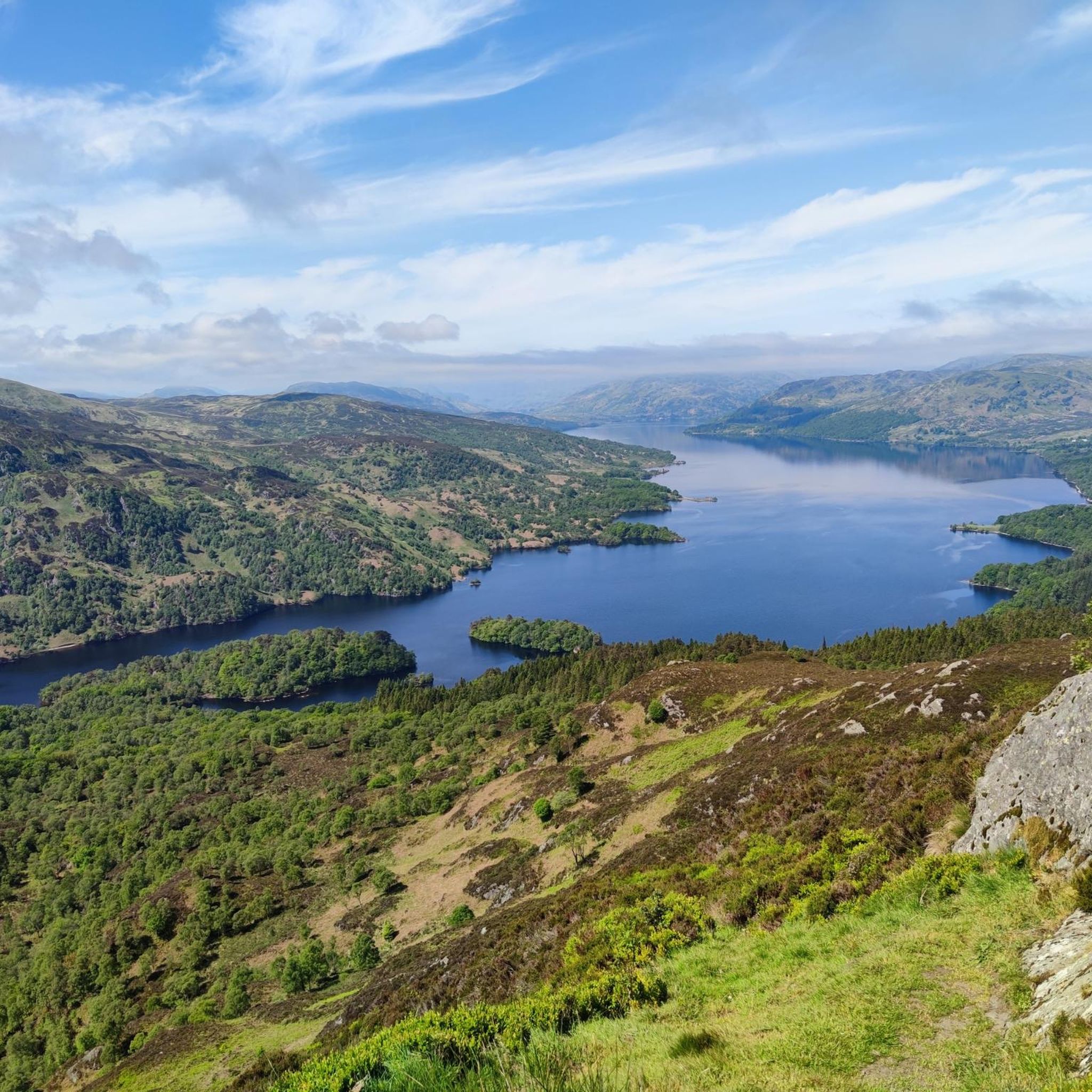
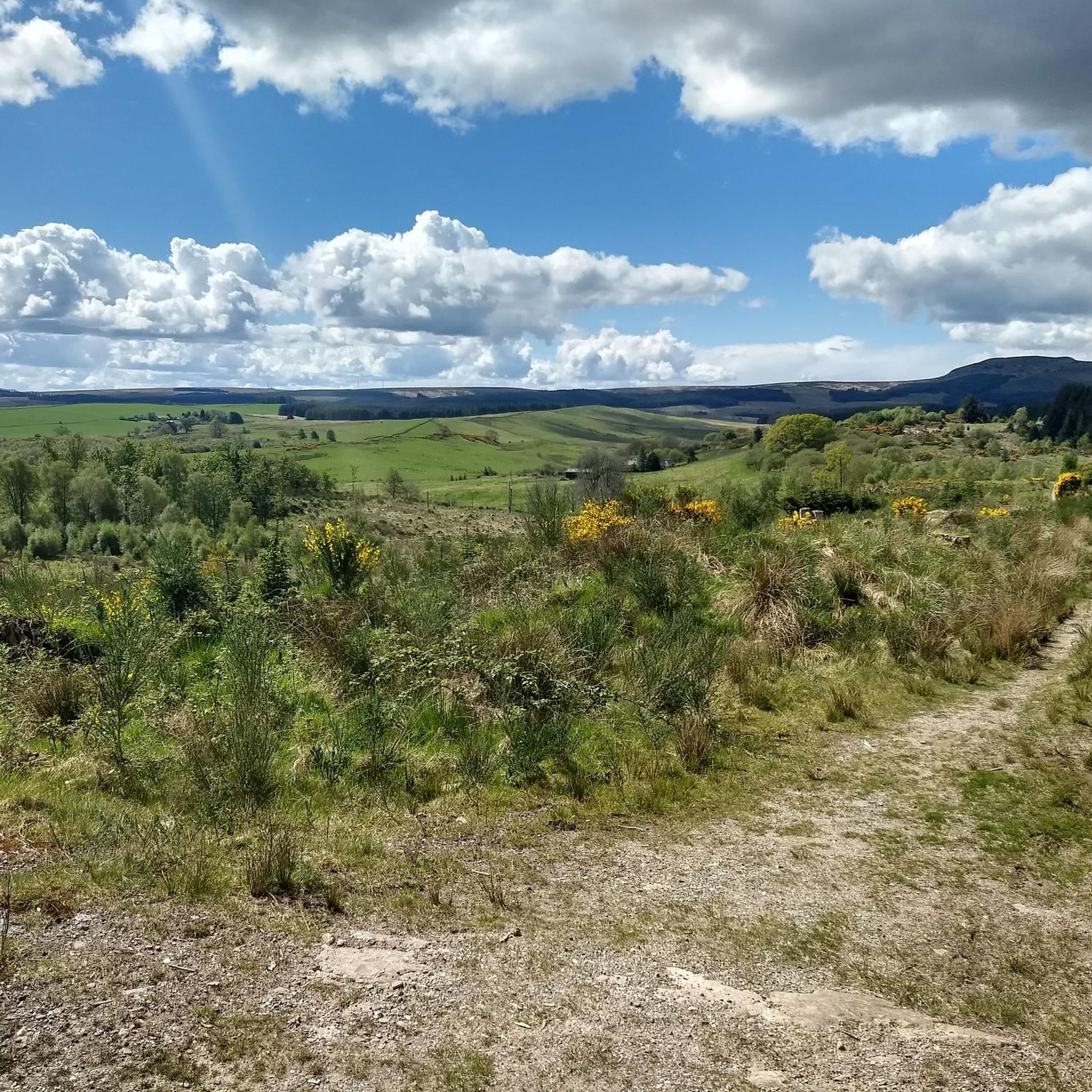
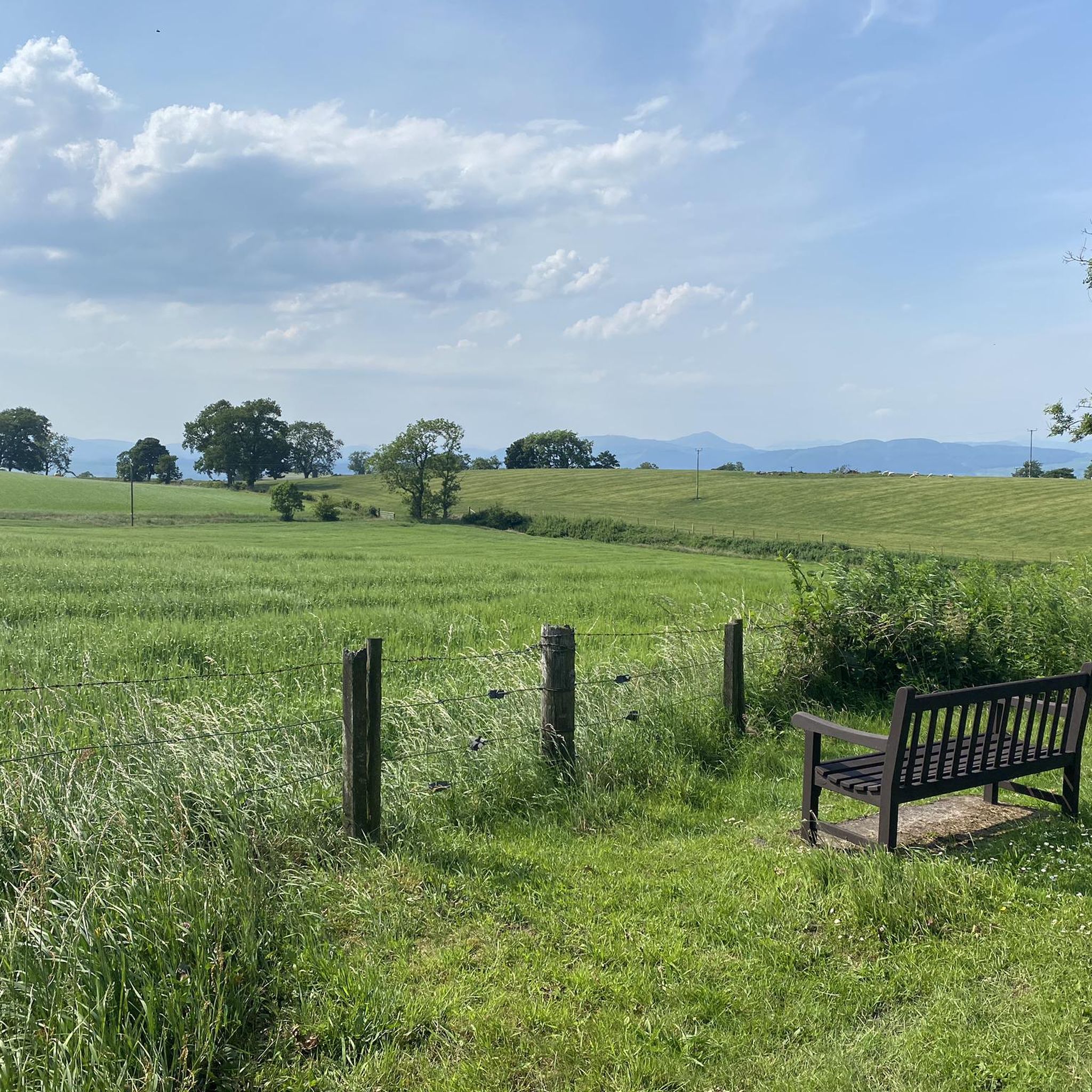
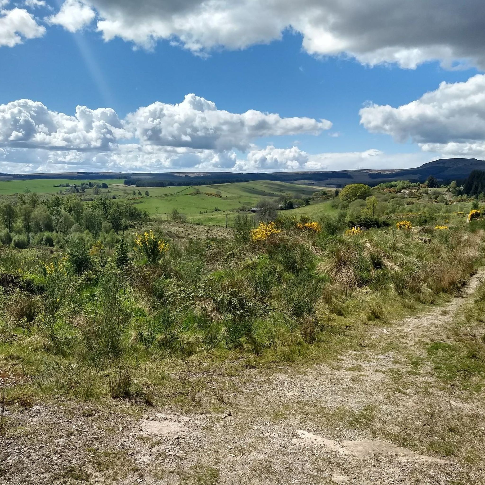
Tips from the Community


A bit narrow, but still manageable with our recumbent bikes... Whatever difficulties we encountered, the scenery made up for it...
1
0

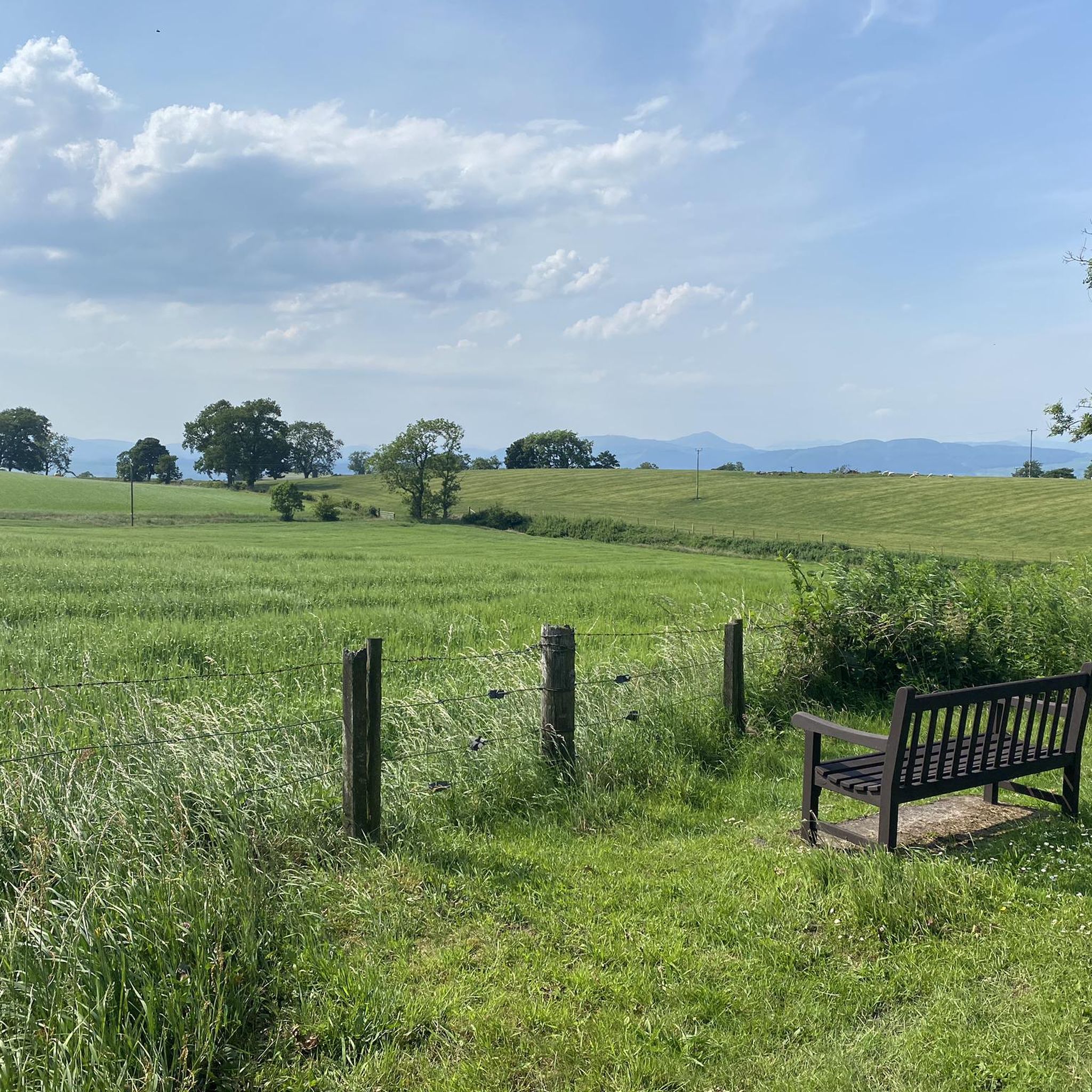
Beautiful views across Loch Ard towards Ben Lomond; and a picnic bench!
0
0

A gravel track that follows the trail of the Katrine Aqueducts that brings Glasgow's drinking water all the way from the Trossachs to Milngavie. Look out for exposed sections of the aqueducts as you travel along, one section in particular has a date marker of 1892 visible from the track. Stunning views over the Kilpatrick Hills and you can always drop down to Glengoyne distillery for a wee dram on the way past!
1
0

Frequently Asked Questions
How many gravel bike trails are available around Buchlyvie?
There are over 60 gravel bike trails around Buchlyvie, offering a wide range of experiences for cyclists. The komoot community has explored more than 2000 of these routes, highlighting the area's popularity for gravel biking.
What kind of terrain can I expect on gravel bike trails near Buchlyvie?
The terrain around Buchlyvie is quite varied. You'll find extensive forest roads and paths built on former railway lines, which offer relatively flat and scenic rides. However, the region also includes more undulating terrain leading to the Campsie Fells, providing opportunities for sustained ascents and rewarding views.
What are the difficulty levels of gravel bike trails around Buchlyvie?
The trails cater to various skill levels. Approximately 11 routes are considered easy, 24 are moderate, and 26 are difficult. This means you can find everything from gentle rides suitable for beginners to challenging climbs with significant elevation gain for experienced riders.
Are there challenging climbs for experienced gravel bikers?
Yes, the Campsie Fells, which form a dramatic backdrop to the south of Buchlyvie, offer classic climbing experiences. These routes can challenge gravel cyclists with sustained ascents and gradients reaching up to 12-14% in sections, providing panoramic vistas towards Glasgow and the Highlands.
What natural features or landmarks can I see while gravel biking near Buchlyvie?
Many routes offer stunning natural beauty. You might encounter iconic sights like the View of Loch Lomond from Conic Hill, or the dramatic Devil's Pulpit (Finnich Glen). Some trails, like the Duchray Viaduct – Gravel Path Along Loch Chon loop from Gartmore, feature impressive structures like the Duchray Viaduct and follow scenic loch shores.
Are there any circular gravel routes in the Buchlyvie area?
Yes, many of the gravel routes around Buchlyvie are designed as loops. For example, the Aberfoyle Riverside Cycle Path – Lochan of the Little Glen loop from Gartmore is a popular circular trail that takes you through the Aberfoyle Riverside area.
When is the best time of year to go gravel biking around Buchlyvie?
The region is beautiful year-round, but spring and autumn often offer the most pleasant conditions with milder temperatures and vibrant scenery. Summer can be excellent, though be prepared for potential midges. Winter riding is possible, but trails might be wet or boggy, especially in lower-lying areas like Flanders Moss, and higher elevations could see snow.
Are there family-friendly gravel biking options near Buchlyvie?
While many routes are challenging, the network of former railway lines and forest roads can offer gentler sections suitable for families. For a moderate option, consider the Aberfoyle Riverside Cycle Path – Lochan Spling Fish Sculpture loop from Gartmore, which is shorter and has less elevation gain than some of the more difficult trails.
Is parking available near the gravel bike trailheads?
Yes, parking is generally available in villages like Gartmore and Aberfoyle, which serve as common starting points for many gravel bike routes in the area. It's advisable to check specific trailhead information for detailed parking facilities.
Can I bring my dog on the gravel bike trails around Buchlyvie?
Many trails in the region, particularly those on forest roads and disused railway lines, are dog-friendly. However, always keep your dog under control, especially when passing livestock or in nature reserves like Flanders Moss, and be mindful of local signage and regulations.
What do other gravel bikers enjoy the most about gravel biking in Buchlyvie?
The area is highly rated by the komoot community, with an average score of 4.6 stars from over 170 reviews. Reviewers often praise the diverse landscapes, the extensive network of forest roads, and the challenging climbs in the Campsie Fells that offer rewarding views. The blend of natural beauty and varied terrain makes it a favorite.
Are there any cafes or pubs near the gravel bike trails for a break?
Yes, villages like Aberfoyle, which is a common starting point for many routes, offer cafes and pubs where you can refuel. It's a good idea to plan your route to pass through these villages if you're looking for a refreshment stop.
Most popular attractions around Buchlyvie

Get inspired with the komoot mobile app


Explore more
Browse the best Gravel rides in other regions.
