The best gravel rides around Renfrew
4.2
(37)
529
riders
33
rides
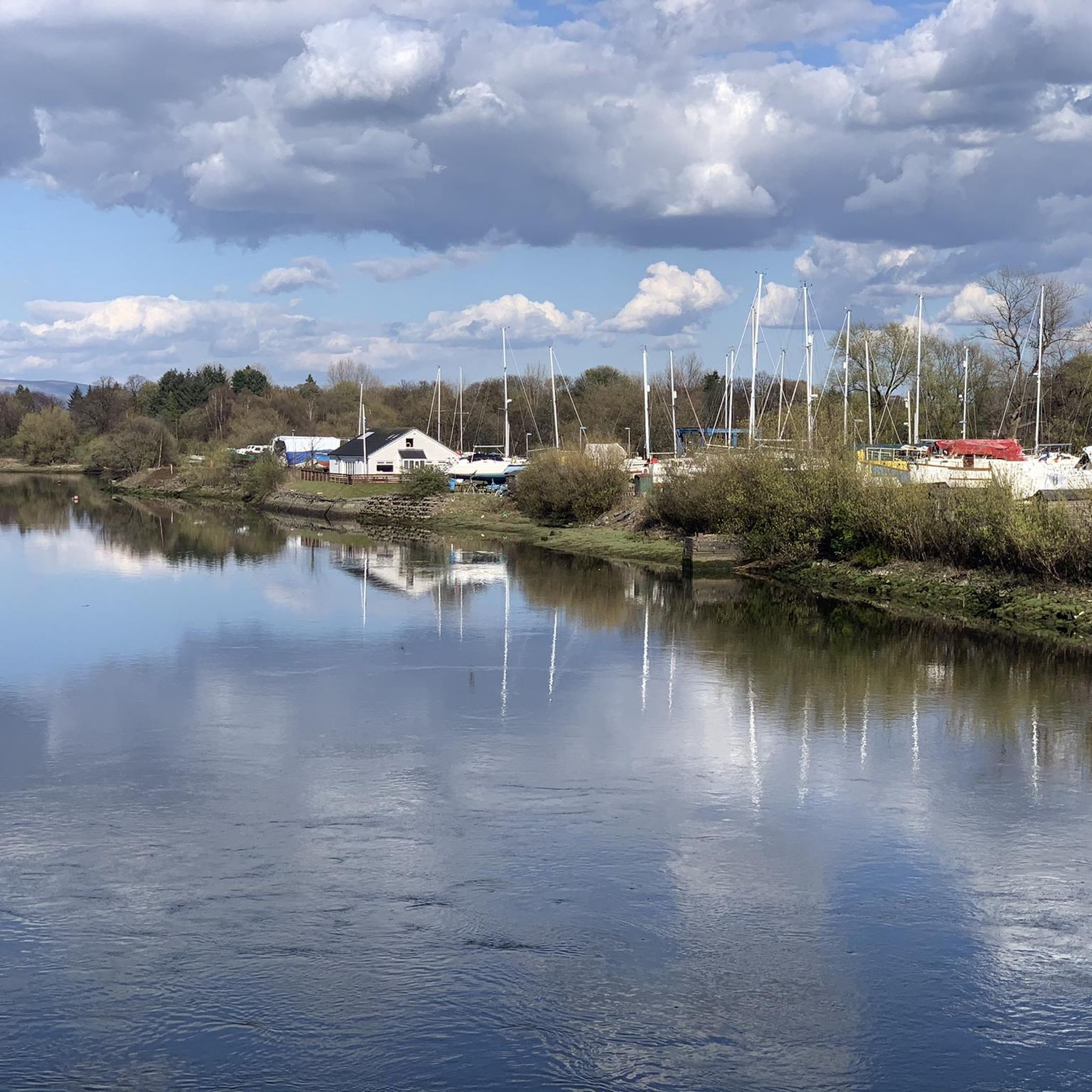
Gravel biking around Renfrew offers a mix of urban and rural landscapes, characterized by the presence of the River Cart and River Clyde, alongside farmlands and various green spaces. The terrain includes both paved and hard gravel surfaces, with routes that can feature challenging climbs. This region provides diverse gravel cycling opportunities across different difficulty levels.
Best gravel bike trails around Renfrew
- The most popular gravel bike trail is Craigallian Loch – Burncrooks Reservoir loop from Bearsden, a 37.4 miles (60.2 km) trail that takes 5 hours 10 minutes to complete. This difficult route features significant elevation gain through varied terrain.
- Another top favourite among local gravel bikers is Craigallian Loch – Trails at Mugdock Country Park loop from Garscadden, a difficult 28.2 miles (45.4 km) path. This route navigates through natural landscapes, including sections near Mugdock Country Park.
- Local gravel bikers also love the Stockingfield Junction Bridge – Stockingfield Bridge loop from Kelvinbridge, a 28.9 miles (46.5 km) trail leading through urban and riverside areas, often completed in about 3 hours 38 minutes.
- Gravel biking around Renfrew is defined by river paths, farmlands, and green spaces, with routes often featuring challenging climbs on hard gravel surfaces. The network offers options for different ability levels, from moderate to difficult.
- The routes in Renfrew are highly rated by the komoot community with an average score of 4.3 stars from over 30 reviews. More than 500 gravel bikers have used komoot to explore Renfrew's varied terrain.
Last updated: July 3, 2026
4.5
(2)
46
riders
60.4km
03:56
710m
710m
Hard gravel ride. Very good fitness required. Mostly paved surfaces. Suitable for all skill levels.
3.8
(4)
53
riders
45.5km
02:51
480m
480m
Hard gravel ride. Very good fitness required. Mostly paved surfaces. Suitable for all skill levels.

Sign up for free
4.4
(7)
49
riders
Hard gravel ride. Very good fitness required. Mostly paved surfaces. Suitable for all skill levels.
25
riders
103km
07:16
1,260m
1,260m
Hard gravel ride. Very good fitness required. Mostly paved surfaces. Suitable for all skill levels.
70
riders
49.5km
03:16
570m
570m
Hard gravel ride. Very good fitness required. You may need to push your bike for some segments of this route.
Get access to more routes and recommendations from other explorers.
Sign up for free
Already have an account?
Our route recommendations are based on thousands of hikes, rides, and runs completed by other people on komoot.
Start today with a free account
Your next adventure awaits.
Login or Signup
Tips from the Community

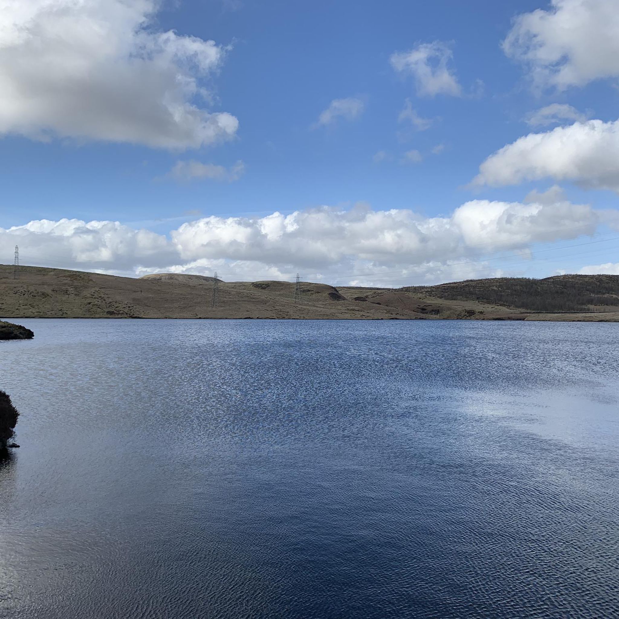
Beautiful smooth gravel surface. Steep in sections. Really enjoyed a s a descent!
0
0


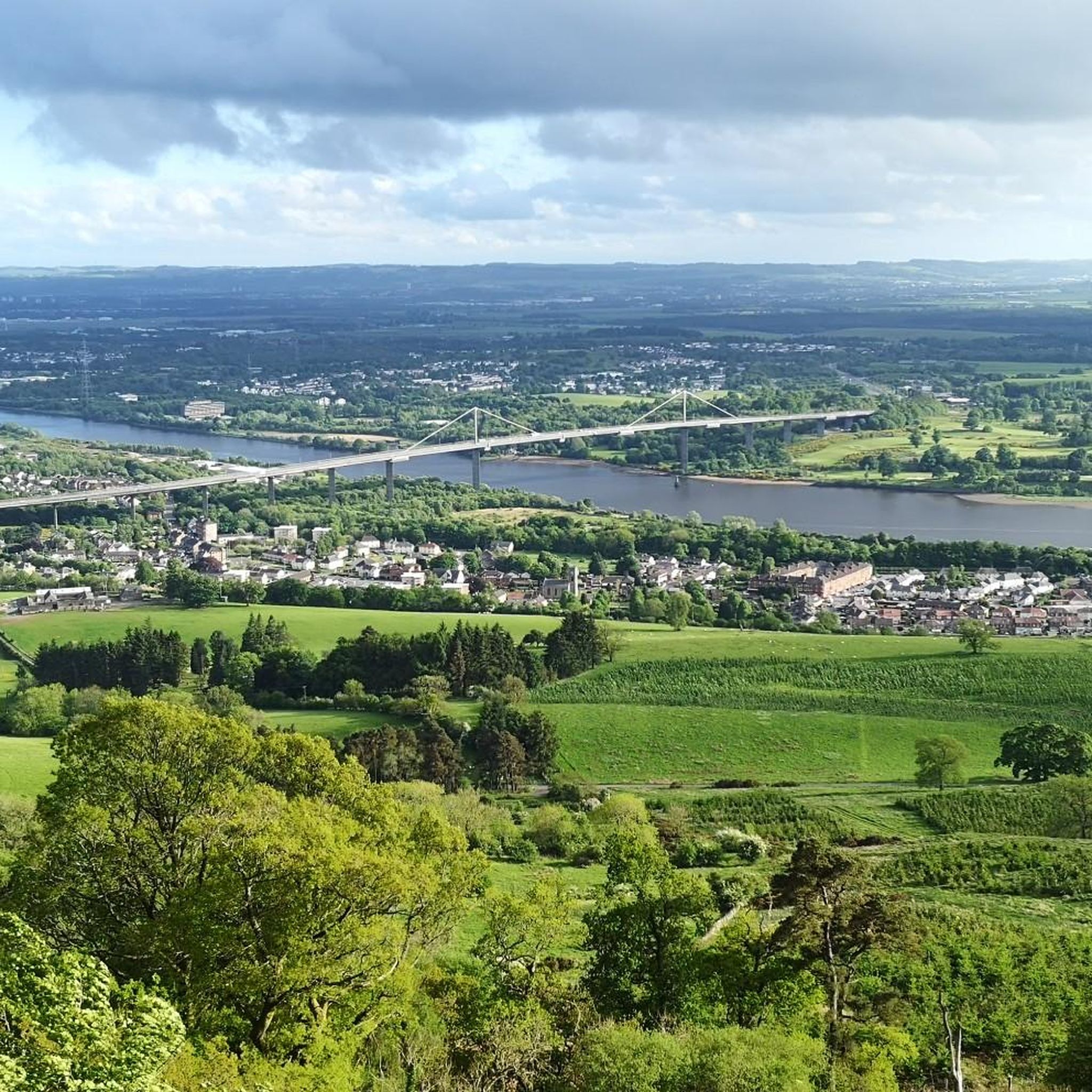
One of the most interesting bridges I've ever seen—in my opinion, an architectural masterpiece, magnificent..👍👍
1
0
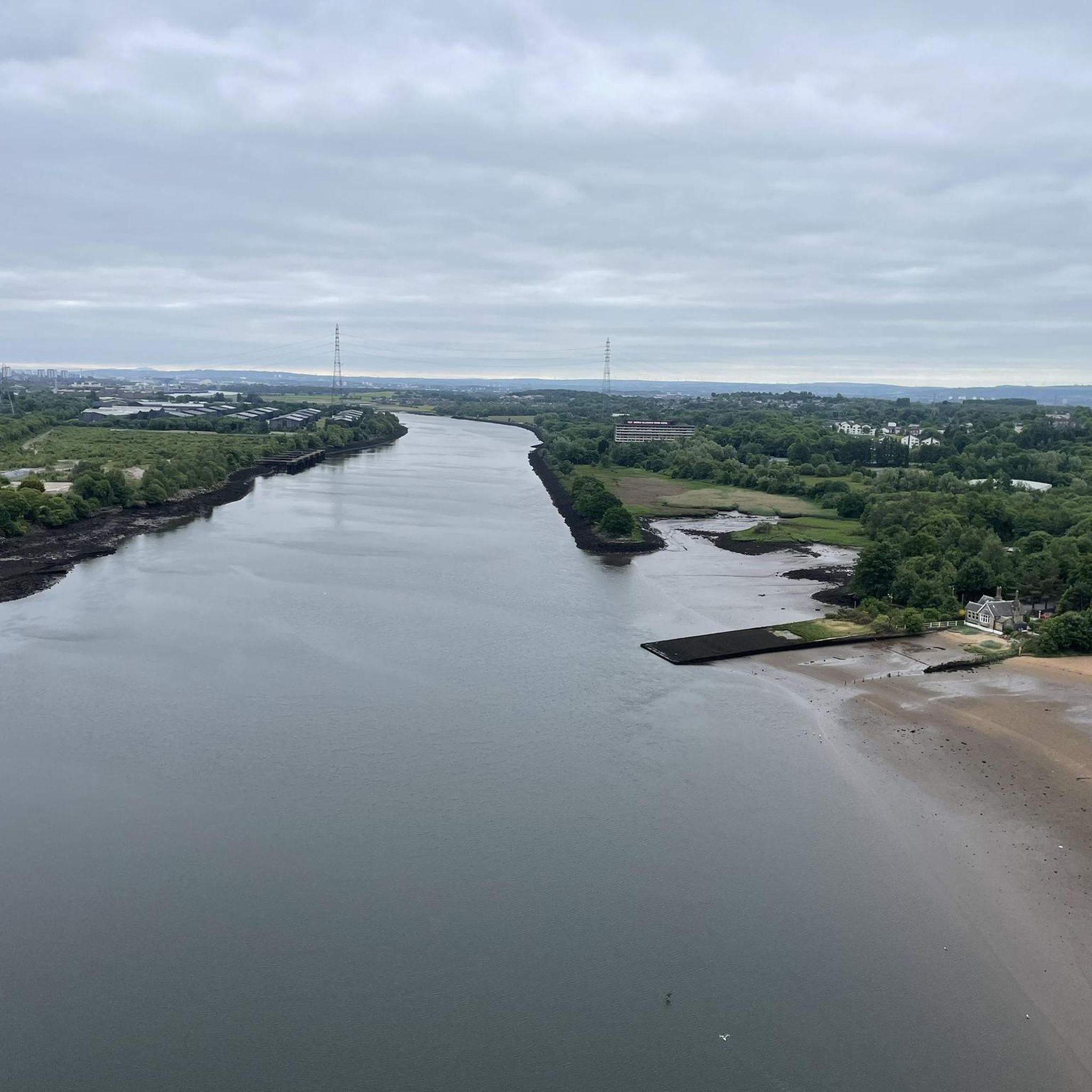
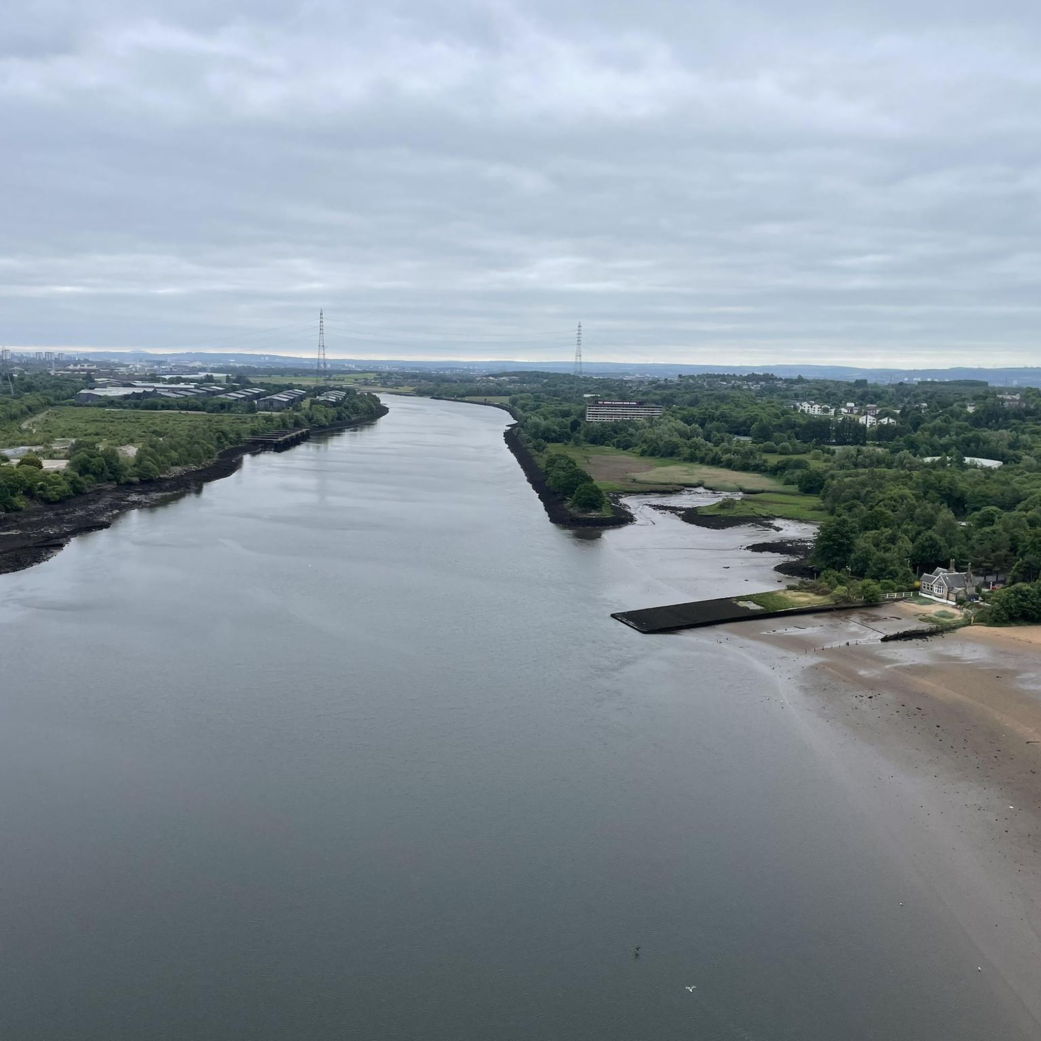
Cycling along a canal has always been our thing... The old towpaths are being integrated into the cycle paths, which for us cyclists means always cycling along the water.
0
0

The ruined remains of Lennox Castle. Originally built in ~1840 as a private property it was sold to The Glasgow Corporation (predecessor to the City Council) in 1927 and turned into a hospital for those with learning difficulties. In the 1940's-60's it also operated as a maternity home, and was the birth place of singer Lulu. It closed in 2002 and unfortunately was subject to a fire in 2008 which left it in its current state.
1
0
A gravel track that follows the trail of the Katrine Aqueducts that brings Glasgow's drinking water all the way from the Trossachs to Milngavie. Look out for exposed sections of the aqueducts as you travel along, one section in particular has a date marker of 1892 visible from the track. Stunning views over the Kilpatrick Hills and you can always drop down to Glengoyne distillery for a wee dram on the way past!
1
0

Frequently Asked Questions
How many gravel bike trails are available in Renfrew?
There are over 40 gravel bike trails around Renfrew, offering a variety of experiences for different skill levels. The komoot community has explored these routes over 500 times.
Are there any easy gravel biking routes for beginners in Renfrew?
While many routes around Renfrew feature challenging climbs, there are a few easier options available. The region offers 2 routes specifically categorized as easy, alongside 11 moderate trails, providing a good range for those starting out or looking for a less strenuous ride.
What kind of terrain can I expect on gravel bike trails around Renfrew?
Gravel biking around Renfrew features a mix of urban and rural landscapes, including river paths along the River Cart and River Clyde, farmlands, and various green spaces. The terrain is primarily on paved and hard gravel surfaces, with many routes incorporating challenging climbs.
Are there any circular gravel bike routes in Renfrew?
Yes, many of the gravel routes in Renfrew are designed as loops. For example, you can try the Craigallian Loch – Burncrooks Reservoir loop from Bearsden, which is a longer, more challenging option, or the Stockingfield Junction Bridge – Stockingfield Bridge loop from Kelvinbridge for a route through urban and riverside areas.
What do other gravel bikers say about the trails in Renfrew?
The gravel biking routes in Renfrew are highly rated by the komoot community, with an average score of 4.3 stars from over 35 reviews. Riders often praise the varied terrain and the scenic mix of urban and natural landscapes.
Are there challenging routes for experienced gravel bikers in Renfrew?
Absolutely. Renfrew offers 28 difficult gravel biking routes, many of which include significant elevation gain and cover longer distances. An example is the River Kelvin – Aberfoyle Riverside Cycle Path loop from Kelvinhall, which is over 100 km long with substantial climbing.
Can I find scenic viewpoints or natural attractions along the gravel routes?
Yes, several routes pass by scenic spots and natural features. You can explore areas like Craigallian Loch, or enjoy views from Duncolm Summit. The region also features various green spaces and river paths.
Are there any historical sites or landmarks to see while gravel biking in Renfrew?
Yes, you can encounter historical sites and landmarks. For instance, Craigallian Loch is listed as a historical site. Other notable landmarks in the broader area include George Square and Duke of Wellington Statue in Glasgow, which are accessible from some routes.
What are some longer distance gravel cycling options in Renfrew?
For longer rides, consider routes like the River Kelvin – Aberfoyle Riverside Cycle Path loop from Kelvinhall, which spans over 100 km. Another substantial option is the Craigallian Loch – Burncrooks Reservoir loop from Bearsden, covering over 60 km.
Are there any routes that pass through country parks or nature reserves?
Yes, some routes navigate through natural landscapes and near protected areas. The Craigallian Loch – Trails at Mugdock Country Park loop from Garscadden, for example, takes you through sections near Mugdock Country Park, offering a mix of trails and natural beauty.
Can I find routes that are suitable for a full day of gravel biking?
Many of the longer and more difficult routes are ideal for a full day's adventure. Trails like the Craigallian Loch – Burncrooks Reservoir loop from Bearsden typically take over 5 hours to complete, providing an extensive ride through varied terrain.
Are there any lakes or reservoirs accessible from the gravel bike trails?
Yes, several routes pass by or offer views of lakes and reservoirs. You can find highlights like Craigallian Loch and Darnley Reservoir Pavilion along various trails, providing picturesque spots for a break.
Most popular attractions around Renfrew

Get inspired with the komoot mobile app


Explore more
Browse the best Gravel rides in other regions.
