The best gravel rides around Westerwood
3.2
(8)
80
riders
7
rides
Gravel bike trails around Westerwood, located near Cumbernauld in Scotland, traverse a landscape characterized by extensive green spaces, woodlands, and lochs. The region features ancient oak forests, Scots pine coverage, and areas of lowland peat bog. Terrain varies from sheltered paths through plantation woodland to routes offering moderate to significant elevation changes. The area also holds historical significance, with some routes potentially following ancient Roman paths near the Antonine Wall.
Best gravel bike trails around Westerwood
- The most popular gravel…
Last updated: July 3, 2026
4.0
(3)
9
riders
19.8km
01:28
350m
350m
Moderate gravel ride. Good fitness required. Mostly paved surfaces. Suitable for all skill levels.
16
riders
53.9km
03:41
930m
930m
Hard gravel ride. Very good fitness required. Mostly paved surfaces. Suitable for all skill levels.

Sign up for free
2.0
(1)
8
riders
46.1km
03:23
800m
800m
Hard gravel ride. Very good fitness required. Mostly paved surfaces. Suitable for all skill levels.
3.0
(1)
14
riders
Hard gravel ride. Very good fitness required. Mostly paved surfaces. Suitable for all skill levels.
3
riders
75.2km
05:33
1,490m
1,490m
Hard gravel ride. Very good fitness required. Mostly paved surfaces. Suitable for all skill levels.
Get access to more routes and recommendations from other explorers.
Sign up for free
Already have an account?
Our route recommendations are based on thousands of hikes, rides, and runs completed by other people on komoot.
Start today with a free account
Your next adventure awaits.
Login or Signup

Tips from the Community

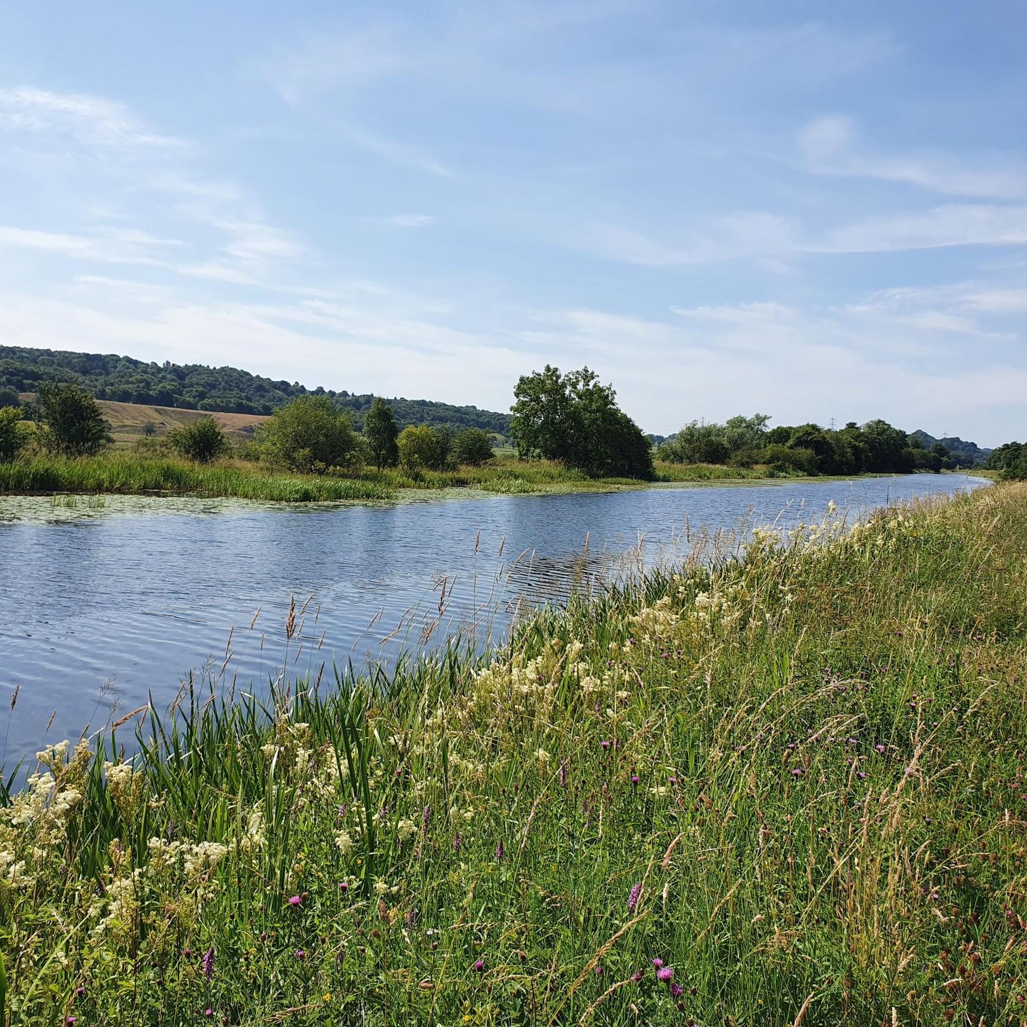
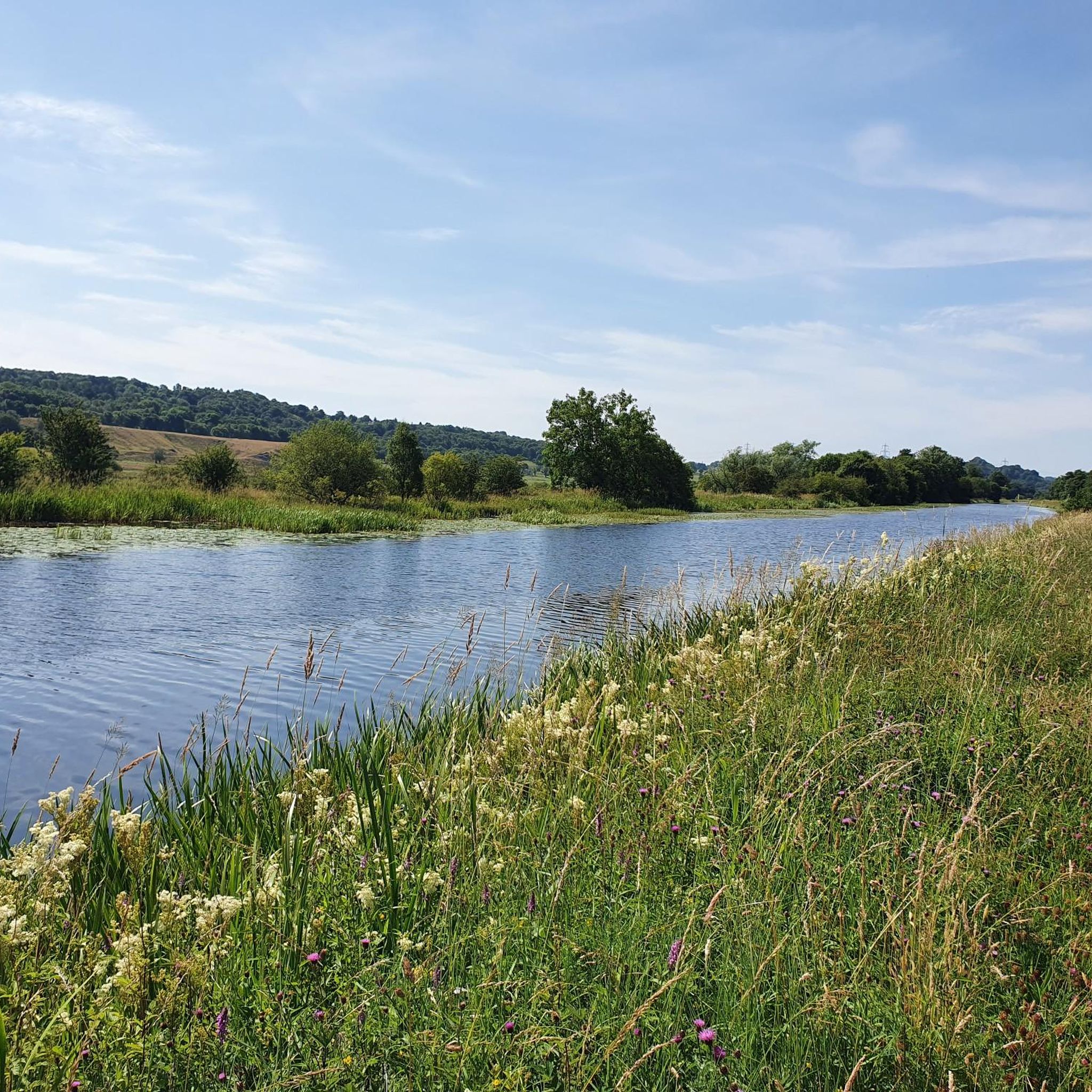
Watch the anglers catching trout from bank and boat.
0
0


Hilly and forests all around, up and down contour of the land. Some of the views are worthy of riding around this location. There are plenty of parking areas along the main road towards the reservoir. There is also a large house that offers accommodation on the north west side of the reservoir. This is a tranquil location just a few miles from Stirling
0
0

Great climb but road surface is poor, 28mm plus tyres recommended.
0
0

Route variation using alternative ascent towards Black Hill.
0
0

Loads of the access roads are closed due to tree felling at the moment so you will have to find alternatives. Komoot re-routed me up a non-bikable trail full of thorny bramble jaggies.
0
0

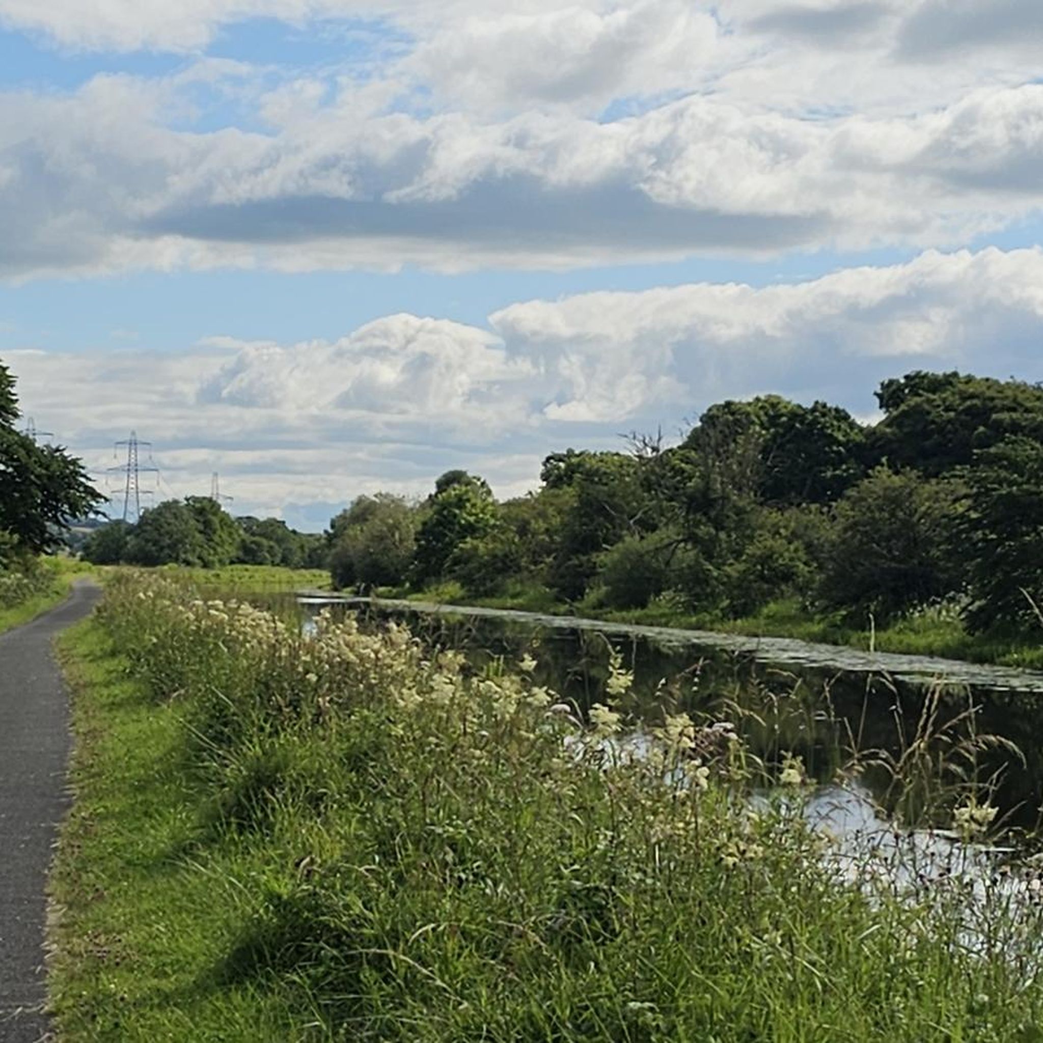
Good view, benches invite you to linger
1
0
Frequently Asked Questions
How many gravel bike trails are available around Westerwood?
There are 10 gravel bike trails available around Westerwood, offering a mix of moderate and difficult routes through the region's diverse landscapes.
What kind of terrain can I expect on gravel bike trails in Westerwood?
Gravel biking around Westerwood features varied terrain, including extensive green spaces, woodlands, and lochs. You'll encounter ancient oak forests, Scots pine coverage, and areas of lowland peat bog. Routes can range from sheltered paths through plantation woodland to those with moderate to significant elevation changes.
Are there any easy or beginner-friendly gravel bike routes in Westerwood?
While there are no routes specifically classified as 'easy' in the immediate Westerwood area, there are 5 moderate routes that might be suitable for beginners looking for a bit of a challenge. These routes offer a good introduction to the region's gravel biking without extreme difficulty.
What are some longer, more challenging gravel rides in the area?
For experienced gravel bikers seeking a challenge, Westerwood offers several difficult routes. One notable option is the View from the Commondry – Old Drove Road loop from Kilsyth, which spans 74.9 km with significant elevation gain, taking you through varied landscapes.
What do other gravel bikers enjoy most about gravel biking in Westerwood?
The komoot community rates the gravel biking in Westerwood with an average score of 3.2 stars. Riders often praise the diverse natural scenery, including woodlands and lochs, and the opportunity to explore routes that offer both moderate and challenging ascents.
Are there any circular gravel bike trails around Westerwood?
Yes, many of the gravel bike trails around Westerwood are designed as loops. For example, the popular Carron Valley Red Trail – Carron Reservoir Dam loop from River Carron is a 20.0 km circular route that offers varied terrain around the reservoir.
What interesting landmarks or natural features can I see along the gravel bike trails?
The Westerwood area is rich in natural beauty and historical significance. You can encounter features like Fannyside Lochs, the Carron Valley Reservoir, and the historic Antonine Wall, with sites like Croy Hill Roman Fort nearby. Many routes traverse woodlands and offer views of the surrounding green spaces.
Is Westerwood suitable for family-friendly gravel biking?
Westerwood's extensive green spaces and varied terrain offer potential for family-friendly rides, especially on less challenging sections. While specific 'easy' routes aren't listed, the moderate trails could be adapted for families with some biking experience. Always check route details for distance and elevation before heading out with children.
Are there any viewpoints along the gravel bike trails in Westerwood?
Yes, the region offers several opportunities for scenic views. The Carron Valley Red Trail – View from the Commondry loop from River Carron is specifically named for its views. Additionally, highlights like Meikle Bin Summit and Broadwood Loch offer picturesque spots to pause and enjoy the landscape.
What is the best time of year for gravel biking in Westerwood?
The best time for gravel biking in Westerwood is generally during the spring, summer, and early autumn months when the weather is milder and the trails are drier. The region's woodlands and lochs are particularly beautiful during these seasons. Winter conditions can bring mud, ice, or snow, making some trails more challenging.
Are there gravel trails near Westerwood with cafe stops?
While specific cafe stops are not detailed for individual routes, the Westerwood area is close to Cumbernauld, which offers amenities. Planning your route to pass through or near towns will provide opportunities for refreshments and cafe stops.
What are the typical distances and durations for gravel bike trails in Westerwood?
Gravel bike trails in Westerwood vary significantly in length and duration. You can find routes like the Carron Valley Red Trail – Carron Reservoir Dam loop from River Carron, which is about 20.0 km and takes under 2 hours, up to longer, more demanding rides such as the Tak-Ma-Doon Road – Campsie Fells Scenic Road loop from Tak Ma Doon Road Viewing and Picnic Area, which is 34.1 km and typically takes over 2 hours.
Most popular attractions around Westerwood

Get inspired with the komoot mobile app


Explore more
Browse the best Gravel rides in other regions.
