The best gravel rides around Auchinloch
4.3
(30)
431
riders
24
rides
Gravel biking around Auchinloch offers diverse terrain across North Lanarkshire, Scotland. The region features a mix of disused railway lines, canal towpaths, and more challenging rocky sections. Key geographical elements include the Forth and Clyde Canal, sections of the Antonine Wall, and natural areas like Gadloch and Mugdock Woods. This landscape provides varied gravel biking experiences, from flat, traffic-free paths to undulating routes through rolling countryside and woodlands.
Best gravel bike trails around Auchinloch
- The most popular gravel bike trail is Stockingfield Junction Bridge – Stockingfield Bridge loop from Kelvinbridge, a 28.9 miles (46.5 km) difficult trail that takes 3 hours 34 minutes to complete. This route incorporates sections of the Forth and Clyde Canal towpath, offering a mix of surfaces.
- Another top favourite among local gravel bikers is River Kelvin – Aberfoyle Riverside Cycle Path loop from Kelvinhall, a difficult 63.9 miles (102.9 km) path. This extensive route follows the River Kelvin, providing a long-distance gravel biking experience.
- Local gravel bikers also love the Mugdock Woods – Craigallian Loch loop from Hillfoot, a 21.4 miles (34.4 km) trail leading through natural woodland and lochside scenery, often completed in about 3 hours 16 minutes.
- Gravel biking around Auchinloch is defined by canal towpaths, historical routes along the Antonine Wall, and varied terrain through Mugdock Woods. The network offers options for moderate to difficult ability levels, catering to different rider preferences.
- The routes in Auchinloch are highly rated by the komoot community with an average score of 4.3 stars from more than 40 reviews. More than 500 gravel bikers have used komoot to explore Auchinloch's varied terrain.
Last updated: October 20, 2026
4.4
(8)
52
riders
Hard gravel ride. Very good fitness required. Mostly paved surfaces. Suitable for all skill levels.
26
riders
103km
07:15
1,260m
1,260m
Hard gravel ride. Very good fitness required. Mostly paved surfaces. Suitable for all skill levels.

3.3
(3)
10
riders
34.0km
02:27
500m
500m
Hard gravel ride. Very good fitness required. Mostly paved surfaces. Suitable for all skill levels.
5.0
(2)
27
riders
30.4km
01:58
400m
400m
Moderate gravel ride. Good fitness required. Mostly paved surfaces. Suitable for all skill levels.
23
riders
65.6km
04:26
650m
650m
Hard gravel ride. Very good fitness required. Mostly paved surfaces. Suitable for all skill levels.
Get access to more routes and recommendations from other explorers.
Already have an account?
Our route recommendations are based on thousands of hikes, rides, and runs completed by other people on komoot.
Start today with a free account
Your next adventure awaits.

Tips from the Community

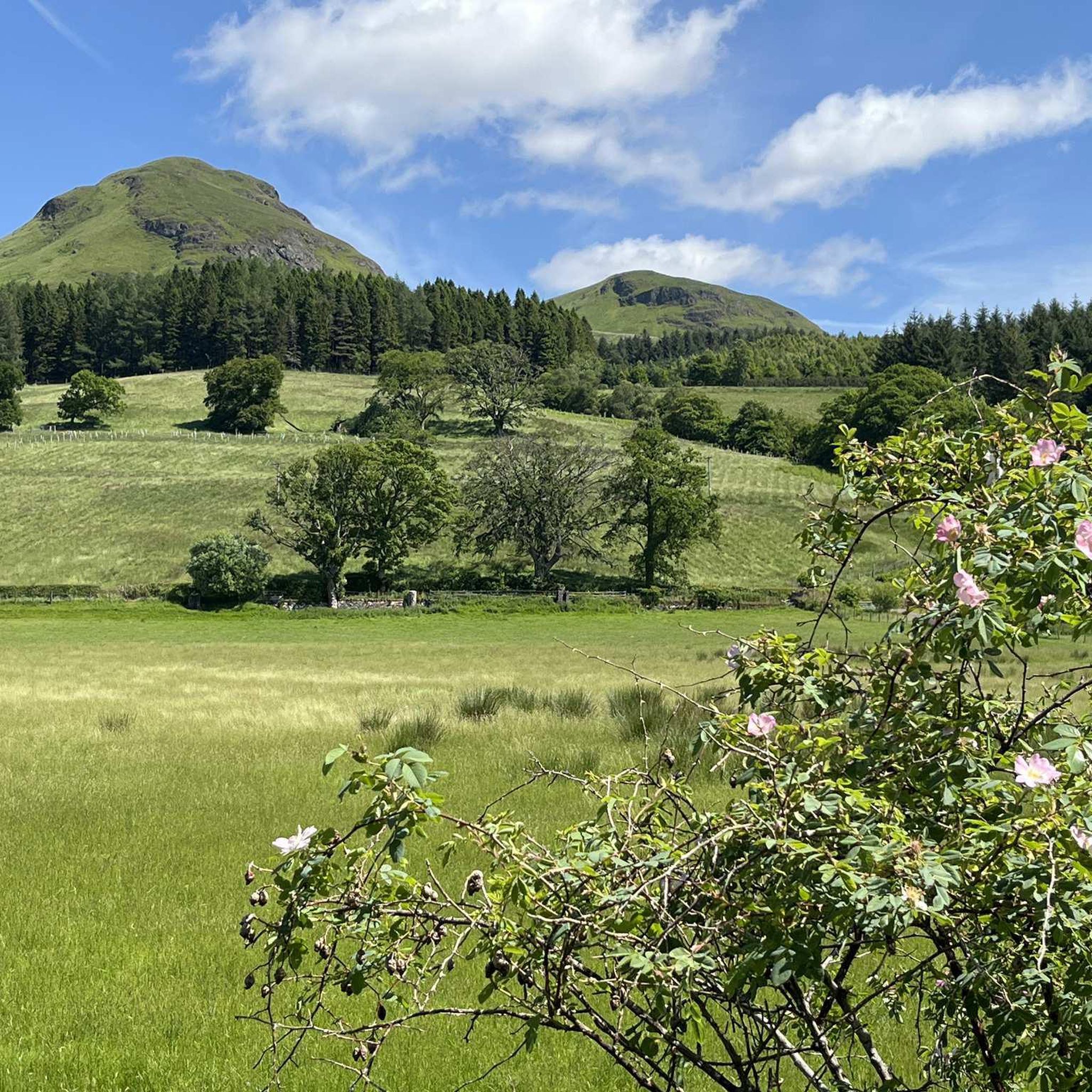
Craigallian Loch lies idyllically between green hills at the start of the West Highland Way. The small lake is surrounded by moorland and pasture landscape and already offers a taste of the Scottish scenery.
5
0

Nice challenging cycling through forest and between lakes
0
0

Beautiful smooth gravel surface. Steep in sections. Really enjoyed a s a descent!
0
0


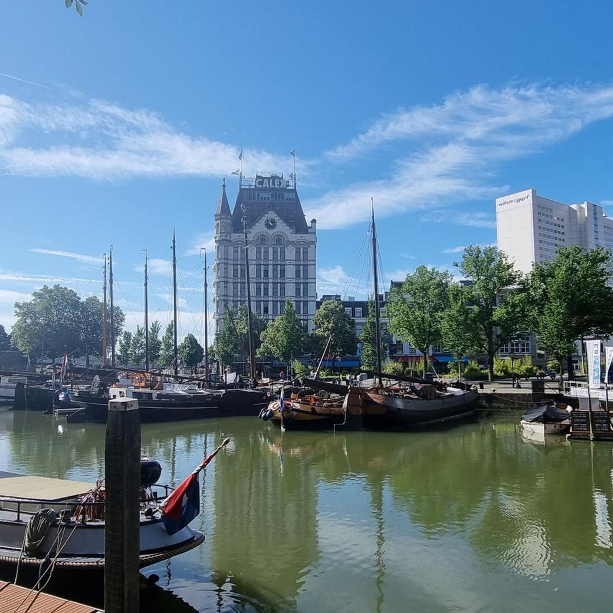
One of the most interesting bridges I've ever seen—in my opinion, an architectural masterpiece, magnificent..👍👍
1
0
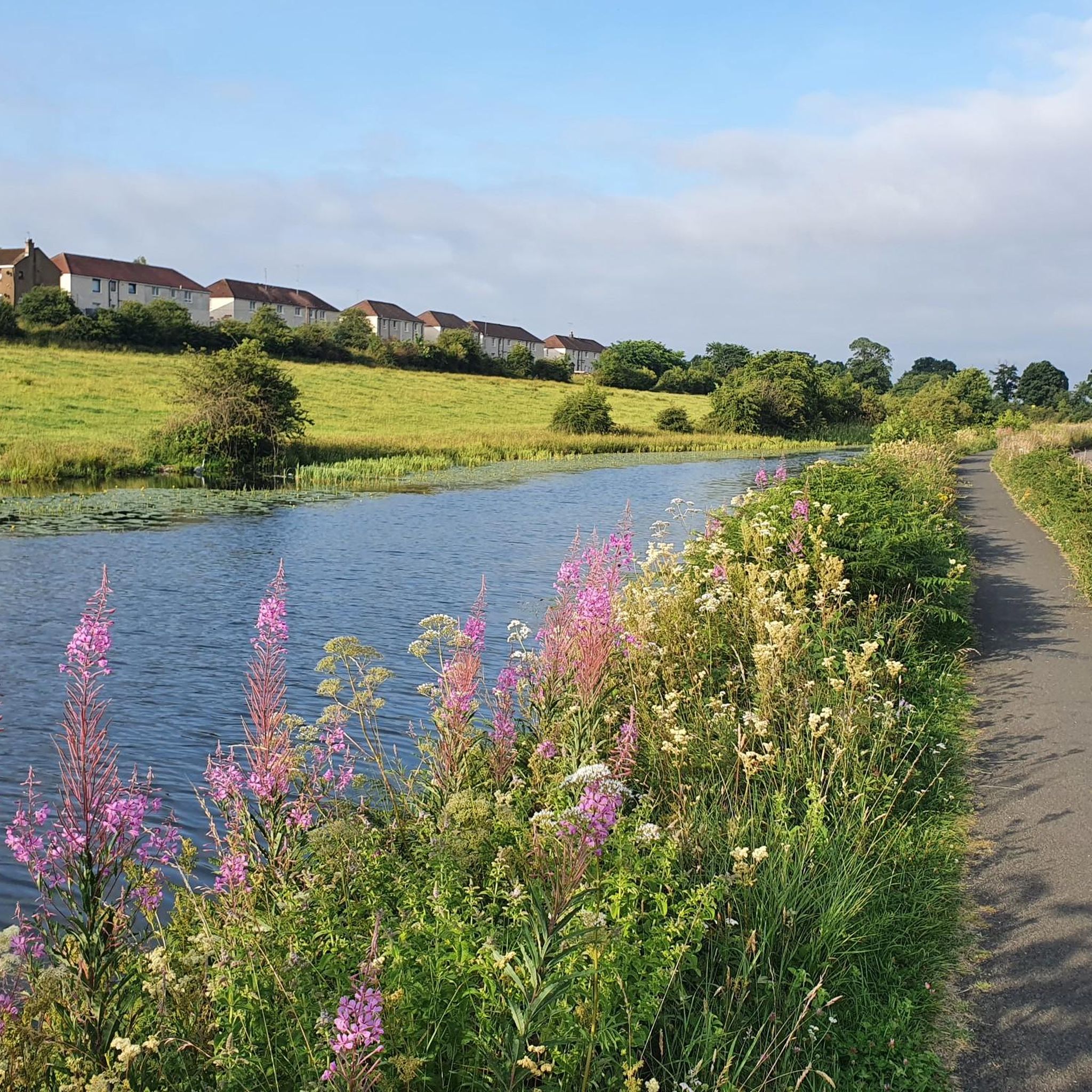
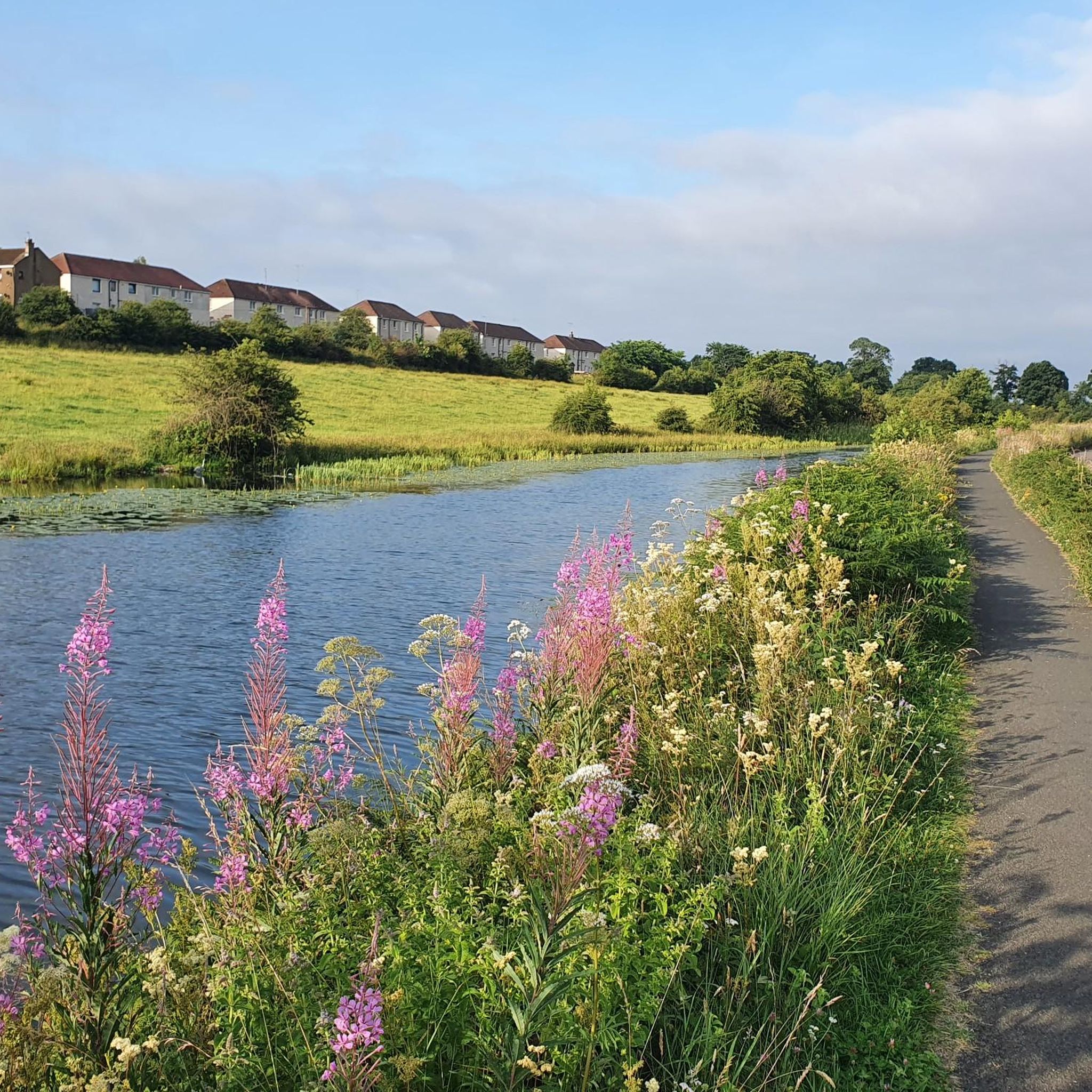
Cycling along a canal has always been our thing... The old towpaths are being integrated into the cycle paths, which for us cyclists means always cycling along the water.
0
0

The ruined remains of Lennox Castle. Originally built in ~1840 as a private property it was sold to The Glasgow Corporation (predecessor to the City Council) in 1927 and turned into a hospital for those with learning difficulties. In the 1940's-60's it also operated as a maternity home, and was the birth place of singer Lulu. It closed in 2002 and unfortunately was subject to a fire in 2008 which left it in its current state.
1
0

Frequently Asked Questions
How many gravel bike trails are available around Auchinloch?
There are over 35 gravel bike trails around Auchinloch, offering a diverse range of experiences for cyclists. These routes are highly rated by the komoot community, with an average score of 4.3 stars from more than 40 reviews.
What are the typical difficulty levels for gravel biking routes in Auchinloch?
The gravel biking routes in Auchinloch primarily range from moderate to difficult. You'll find a good balance, with 21 moderate trails and 16 difficult trails, catering to various skill levels and preferences.
Are there any family-friendly gravel biking options near Auchinloch?
While many routes are moderate to difficult, the region offers sections of the Forth and Clyde Canal Towpath and the Strathkelvin Railway Path, which are largely traffic-free and well-maintained. These flatter sections can be suitable for families looking for a more relaxed ride, though specific family-focused routes are not explicitly listed in the guide.
What kind of terrain can I expect on gravel bike trails in Auchinloch?
You can expect a varied terrain, from smooth, fast tracks often found along disused railway lines and canal towpaths, to more challenging rocky, bumpy, and occasionally boggy sections. The area also features rolling countryside and woodlands, providing a mix of surfaces and scenic environments.
What historical landmarks or natural features can I see along the gravel trails?
Many routes incorporate historical and natural points of interest. You can cycle along sections of the ancient Antonine Wall, a UNESCO World Heritage Site, or enjoy views from Croy Hill Roman Fort. Natural features include the tranquil Gadloch, and the scenic woodlands and lochs around Mugdock Woods and Craigallian Loch. You might also pass by Hogganfield Loch or Bishop Loch.
Are there any circular gravel bike routes around Auchinloch?
Yes, many of the routes are designed as loops. For example, the Stockingfield Junction Bridge – Stockingfield Bridge loop from Kelvinbridge is a popular option. Another great loop is the Mugdock Woods – Craigallian Loch loop from Hillfoot, which takes you through natural woodland and lochside scenery.
Where can I find parking for gravel biking near Auchinloch?
While specific parking locations for Auchinloch trails are not detailed, many routes start from nearby towns or accessible points. For routes like the View of Glasgow – Mugdock Castle loop from Hillfoot, starting points like Hillfoot often have local parking options. It's advisable to check local council websites or specific route descriptions for detailed parking information.
Is public transport available to reach the gravel trails, and can I bring my bike?
Auchinloch is situated in North Lanarkshire, and public transport options like trains and buses serve the wider Glasgow area. Many routes are accessible from train stations in surrounding towns. Policies on bringing bikes vary by operator and time of day, so it's best to check with specific train or bus companies beforehand. For local cycling and walking maps, you can refer to resources like the East Dunbartonshire Council's walking and cycling map.
What is the best time of year to go gravel biking in Auchinloch?
The region's diverse landscapes are enjoyable year-round, but spring and autumn often offer the most pleasant conditions with milder temperatures and beautiful scenery. Summer can be great, but be prepared for potential midges, especially near water. Winter riding is possible, but some sections might become boggy or challenging due to weather conditions.
Are there any cafes or pubs near the gravel biking routes for a break?
The area around Auchinloch and its surrounding towns like Lenzie or Stepps offer various local amenities. While specific cafes directly on trails are not listed, you'll find options in nearby villages and towns where you can refuel and relax after your ride.
What do other gravel bikers enjoy most about gravel biking in Auchinloch?
The area is highly rated by the komoot community, with an average score of 4.3 stars. Reviewers often praise the diverse terrain, the mix of historical sites like the Antonine Wall, and the peaceful natural beauty of areas like Mugdock Woods and the canal towpaths. The ability to link different routes for customized experiences is also a highlight.
Are there any long-distance gravel biking routes available?
Yes, for those seeking a longer challenge, the River Kelvin – Aberfoyle Riverside Cycle Path loop from Kelvinhall is an extensive route covering over 100 km. This difficult path follows the River Kelvin, providing a significant long-distance gravel biking experience.
Most popular attractions around Auchinloch

Get inspired with the komoot mobile app


Explore more
Browse the best Gravel rides in other regions.
