The best walks and hikes around Kaltenengers
4.5
(15430)
66,193
hikers
1,191
hikes
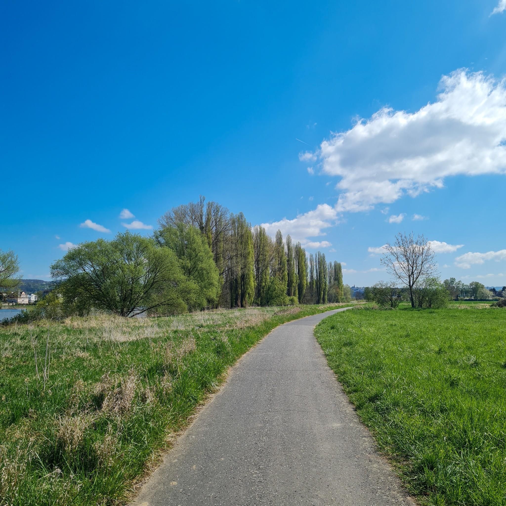
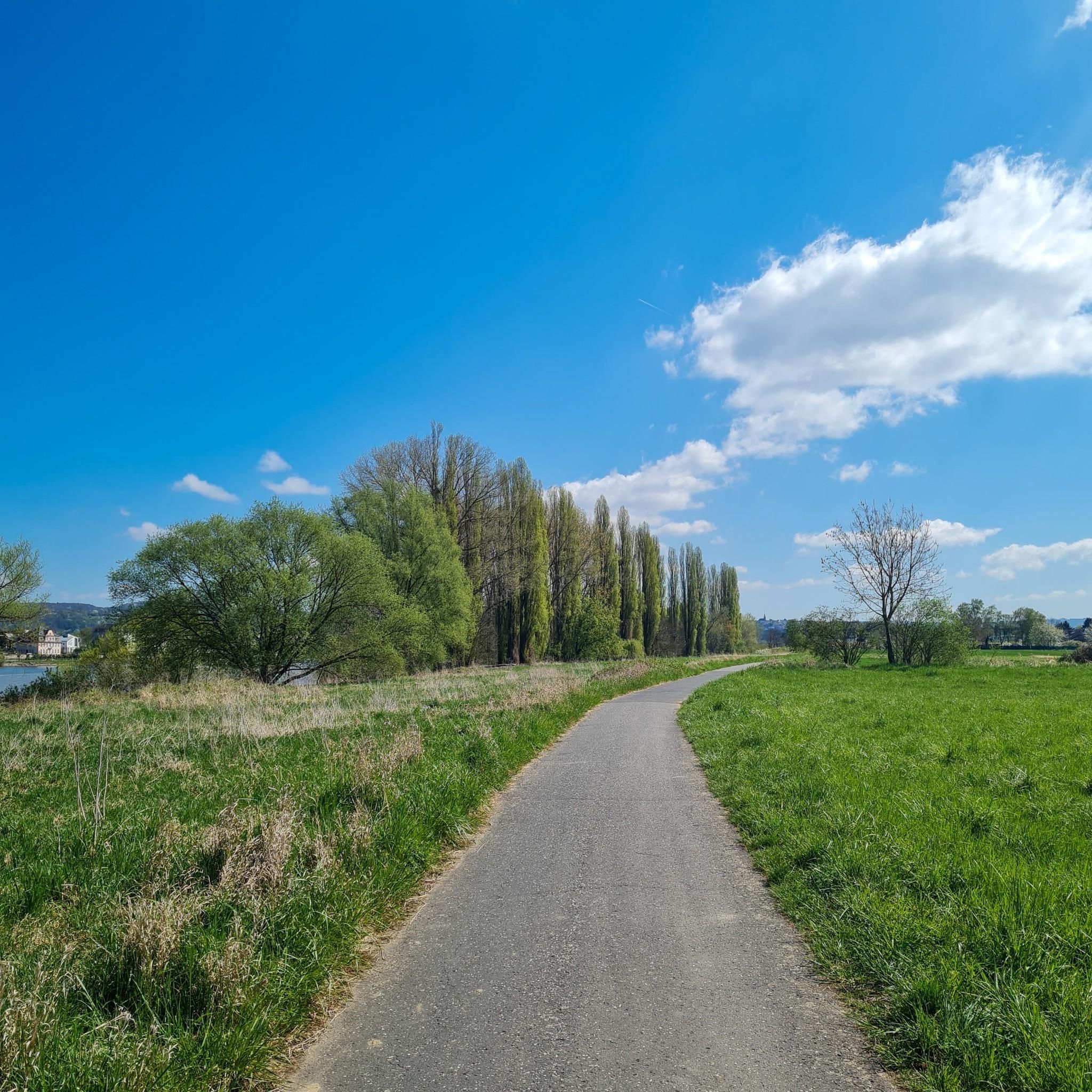
Hiking around Kaltenengers offers routes primarily along the Rhine River and through surrounding open landscapes. The terrain is generally flat to gently rolling, characterized by riverside paths, local lakes, and agricultural areas. These trails provide accessible options for exploring the natural environment of the region. The area is suitable for those seeking walks without significant elevation changes.
Best hiking trails around Kaltenengers
- The most popular hiking route is Urmitz Railway Bridge – Engers Riverside Promenade loop from Urmitz Rheinbrücke,…
Last updated: July 1, 2026
4.4
(17)
76
hikers
Moderate hike. Good fitness required. Easily-accessible paths. Suitable for all skill levels.
4.5
(8)
37
hikers
6.13km
01:34
20m
20m
Easy hike. Great for any fitness level. Easily-accessible paths. Suitable for all skill levels.

Sign up for free
5.0
(12)
56
hikers
6.18km
01:36
30m
30m
Easy hike. Great for any fitness level. Easily-accessible paths. Suitable for all skill levels.
4.0
(2)
39
hikers
4.89km
01:14
10m
10m
Easy hike. Great for any fitness level. Easily-accessible paths. Suitable for all skill levels.
4.5
(2)
58
hikers
Easy hike. Great for any fitness level. Easily-accessible paths. Suitable for all skill levels.
Get access to more routes and recommendations from other explorers.
Sign up for free
Already have an account?
Our route recommendations are based on thousands of hikes, rides, and runs completed by other people on komoot.
Start today with a free account
Your next adventure awaits.
Login or Signup

Other adventures around Kaltenengers

Tips from the Community


The Kunstpark am Silbersee (Silver Lake Art Park) is equipped with plenty of seating and beautiful art. It's definitely worth a visit.
0
0

Unfortunately, access to the lake is closed! We have bureaucracy and its regulations to thank for that, by the way 😡
2
0

An impressive bridge, classically designed - in the style of Mordor ; )
0
1

There are enough loungers available for relaxing breaks 👍
0
0

The railway bridge over the Rhine between Engers and Urmitz is a listed building.
1
0

Image of the late Roman Burgus Engers - approx. 200m from the original location
0
0
Bust for Caesar's second bridge building in 53 BC.
0
0
Frequently Asked Questions
How many hiking trails are available in Kaltenengers?
There are over 1,200 hiking trails around Kaltenengers, offering a wide variety of options for all skill levels. More than 800 of these are classified as easy, making the area very accessible.
What is the general terrain like for hiking in Kaltenengers?
The terrain around Kaltenengers is generally flat to gently rolling, characterized by riverside paths along the Rhine, local lakes, and open agricultural areas. It's ideal for those seeking walks without significant elevation changes.
Are there easy hiking trails suitable for beginners in Kaltenengers?
Yes, Kaltenengers is well-suited for beginners and those looking for easy walks. Over 800 of the available routes are classified as easy. An example is the Kannsee – Silver Lake loop from Urmitz, an easy 3.8-mile (6.1 km) path offering a pleasant walk around the Silbersee Engers.
What kind of views can I expect on hikes around Kaltenengers?
Hikes in Kaltenengers primarily offer scenic views along the Rhine River, glimpses of local lakes, and expansive open fields. You can also expect to see the Urmitz Railway Bridge on some routes, such as the Urmitz Railway Bridge – Engers Riverside Promenade loop from Urmitz Rheinbrücke.
Are there circular hiking routes in Kaltenengers?
Many of the hiking routes around Kaltenengers are circular, allowing you to start and end at the same point. Examples include the popular Urmitz Railway Bridge – Engers Riverside Promenade loop from Urmitz Rheinbrücke and the shorter Sähmann's Cross loop from Kaltenengers.
What do other hikers say about the trails in Kaltenengers?
The hiking trails in Kaltenengers are highly rated by the komoot community, with an average score of 4.5 stars from over 14,000 reviews. Hikers often praise the accessible riverside paths, the tranquil lake areas, and the overall pleasantness of the walks.
Are the hiking trails around Kaltenengers suitable for families with children?
Yes, the generally flat and gently rolling terrain makes many trails around Kaltenengers suitable for families. The easy routes, often along the river or around lakes, provide a relaxed environment for children to enjoy the outdoors. The Kannsee – Silver Lake loop from Urmitz is a good option for a family-friendly outing.
Can I bring my dog on hikes in Kaltenengers?
Most trails around Kaltenengers are dog-friendly, especially the open riverside paths and routes through agricultural areas. It's always advisable to keep your dog on a leash, especially near wildlife or livestock, and to check local regulations for specific areas.
Are there any specific attractions or landmarks to see while hiking near Kaltenengers?
While hiking near Kaltenengers, you can explore several interesting landmarks. Notable castles in the wider region include Sayn Castle and the Koblenz Electoral Palace. You might also encounter historical sites like the World War II Air-Raid Shelter or natural features like the Cave Entrances by the Aubach.
Where can I find parking for hiking trails in Kaltenengers?
Parking for hiking trails in Kaltenengers is generally available near popular starting points in villages like Urmitz and Kaltenengers itself. Specific parking information is often detailed on individual route pages on komoot, or can be found via local signage.
What is the best season for hiking in Kaltenengers?
The best seasons for hiking in Kaltenengers are typically spring, summer, and autumn. Spring brings blooming nature, summer offers pleasant riverside walks, and autumn provides beautiful foliage. Due to the generally low elevation, winter hiking is also possible on many routes, though conditions may vary.
How long do hikes around Kaltenengers typically take?
Hikes around Kaltenengers vary in length and duration. Shorter, easy walks like the Kannsee – Silver Lake loop from Urmitz can take around 1.5 to 2 hours. Longer, moderate routes such as the Urmitz Railway Bridge – Kingfisher Landing Spot loop from Urmitz might take 2 to 3 hours, depending on your pace.
Most popular routes around Kaltenengers
Most popular attractions around Kaltenengers

Get inspired with the komoot mobile app


Explore more
Browse the best Hikes in other regions.
