The best gravel rides around Ruchazie
4.3
(29)
228
riders
25
rides
Gravel biking around Ruchazie features a landscape characterized by open rural roads, established river paths, and canal towpaths. The terrain offers a mix of flat sections along waterways and more undulating routes through areas like the Whitelee Wind Farm. This region provides varied surfaces suitable for gravel bikes, connecting urban fringes with more expansive natural settings.
Best gravel bike trails around Ruchazie
- The most popular gravel bike trail is Whitelee Wind Farm – Scenic Rural Road loop from Crossmyloof,…
Last updated: October 20, 2026
4.5
(13)
83
riders
56.7km
03:11
560m
560m
Hard gravel ride. Very good fitness required. Mostly paved surfaces. Suitable for all skill levels.
4.4
(8)
52
riders
Hard gravel ride. Very good fitness required. Mostly paved surfaces. Suitable for all skill levels.

26
riders
103km
07:15
1,260m
1,260m
Hard gravel ride. Very good fitness required. Mostly paved surfaces. Suitable for all skill levels.
23
riders
65.6km
04:26
650m
650m
Hard gravel ride. Very good fitness required. Mostly paved surfaces. Suitable for all skill levels.
4.0
(2)
5
riders
56.4km
03:38
720m
720m
Hard gravel ride. Very good fitness required. Mostly paved surfaces. Suitable for all skill levels.
Get access to more routes and recommendations from other explorers.
Already have an account?
Our route recommendations are based on thousands of hikes, rides, and runs completed by other people on komoot.
Start today with a free account
Your next adventure awaits.
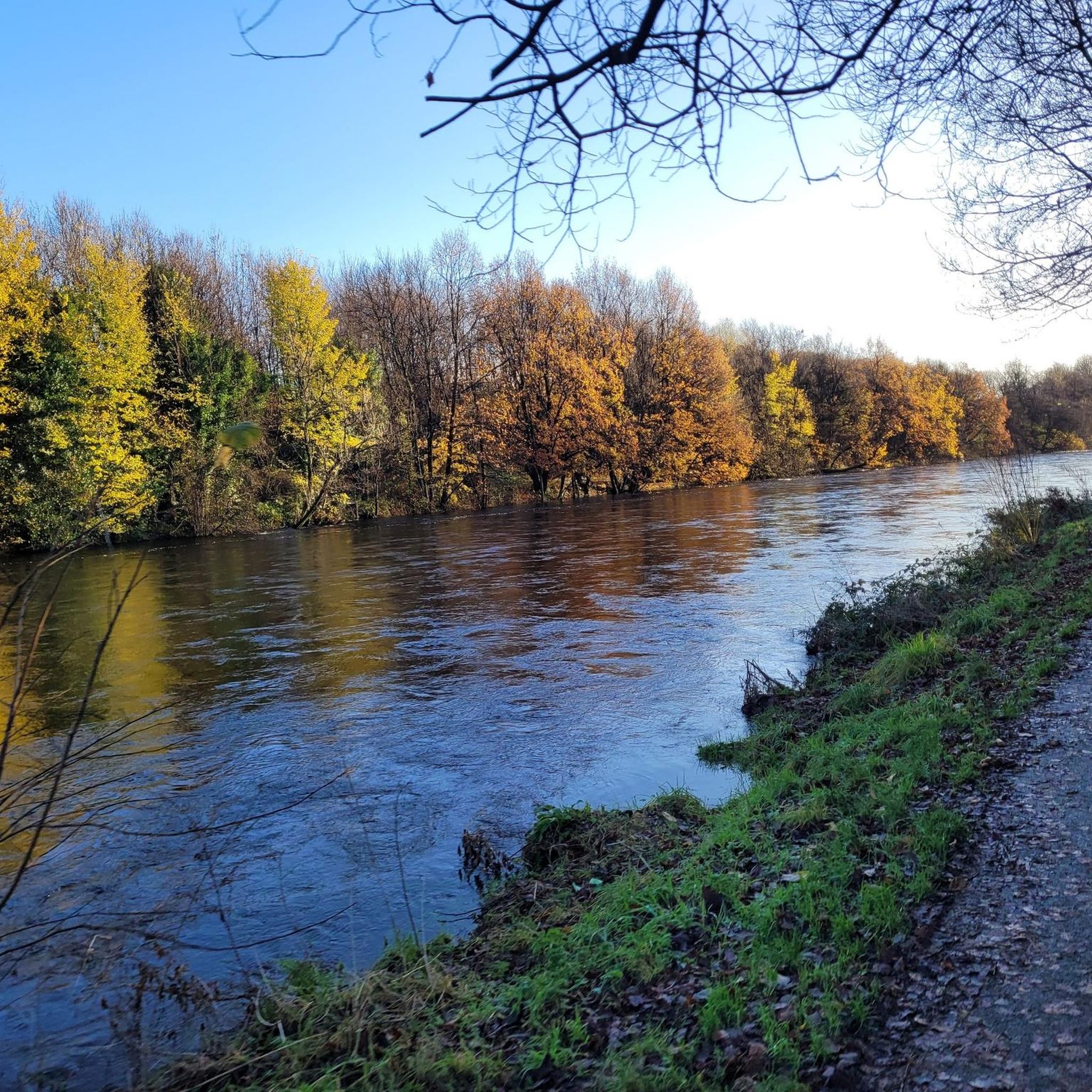
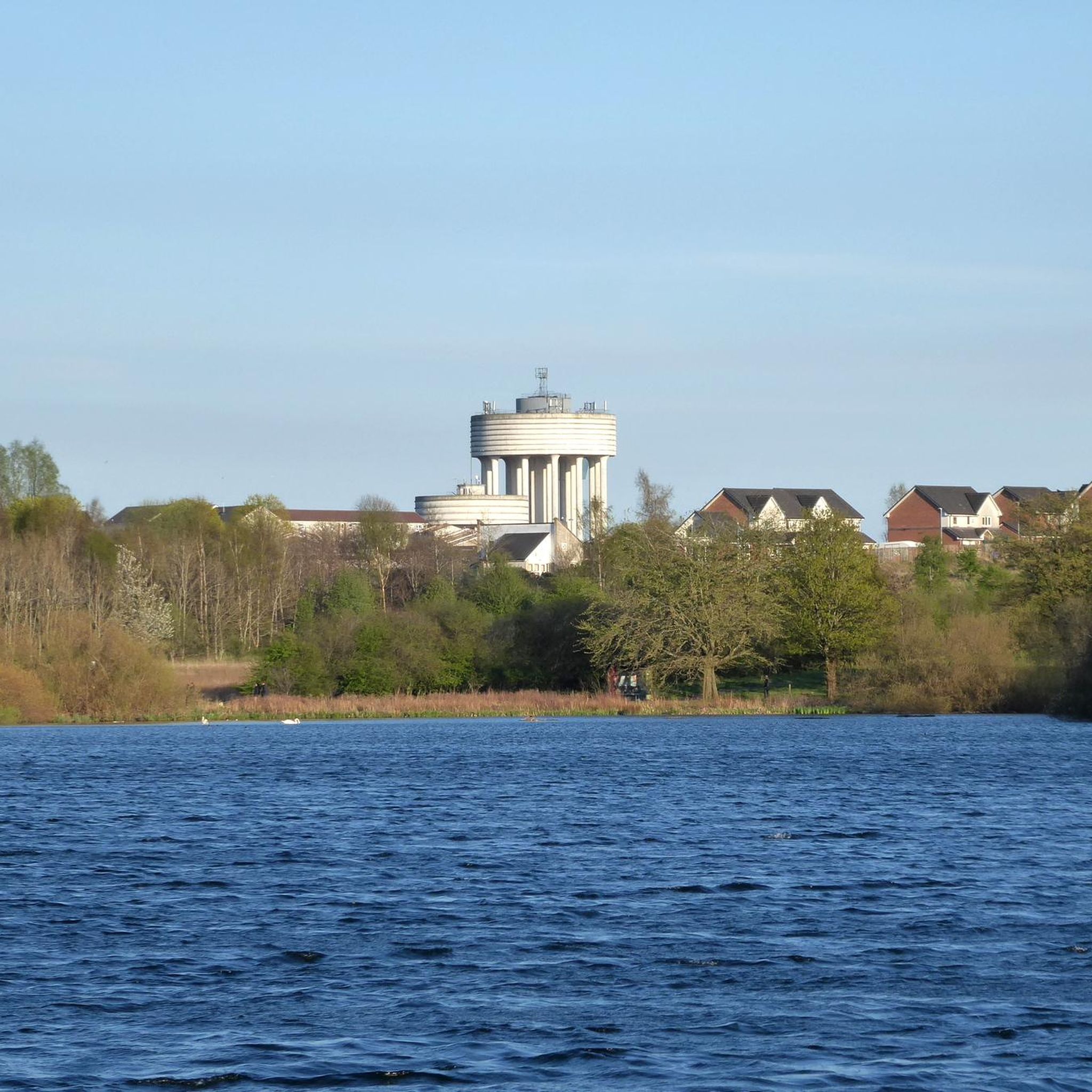
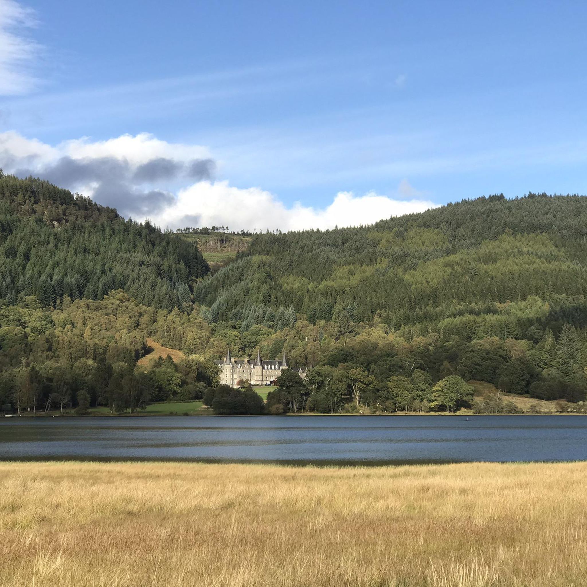
Tips from the Community

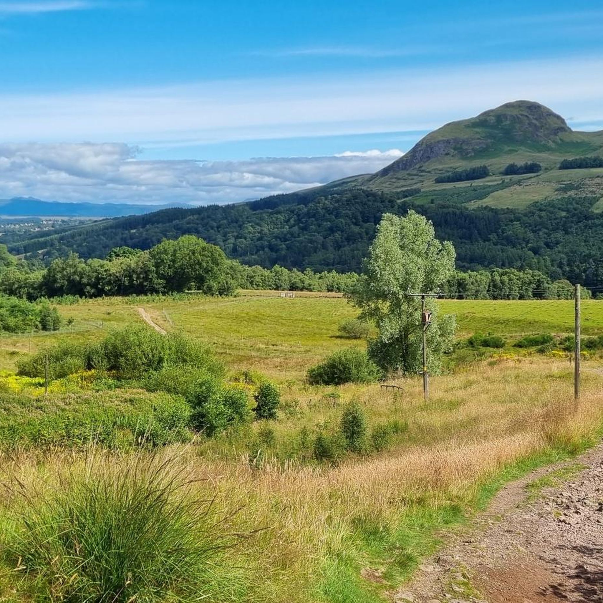
Craigallian Loch lies idyllically between green hills at the start of the West Highland Way. The small lake is surrounded by moorland and pasture landscape and already offers a taste of the Scottish scenery.
5
0

Nice challenging cycling through forest and between lakes
0
0

Beautiful smooth gravel surface. Steep in sections. Really enjoyed a s a descent!
0
0

Bridge over the Clyde for pedestrians and two-wheelers
1
0


Bell's Bridge is, for me, the most beautiful and interesting pedestrian and bicycle bridge... simply an architectural masterpiece... unfortunately, we didn't see the bridge being swung open to allow boat passage.
0
0
One of the most interesting bridges I've ever seen—in my opinion, an architectural masterpiece, magnificent..👍👍
1
0
Cycling along a canal has always been our thing... The old towpaths are being integrated into the cycle paths, which for us cyclists means always cycling along the water.
0
0
Frequently Asked Questions
How many gravel bike trails can I find around Ruchazie?
There are over 30 gravel bike trails available around Ruchazie, offering a diverse range of experiences for riders. These routes are generally rated as moderate or difficult, providing engaging challenges for gravel biking enthusiasts.
Are there any beginner-friendly gravel bike routes in Ruchazie?
While most routes around Ruchazie are rated moderate to difficult, there are 15 routes classified as moderate. These can be a good starting point for riders with some experience. For example, the Forth and Clyde Canal Towpath – Stockingfield Bridge loop from Hillhead is a moderate 25.5-mile (41.1 km) trail that follows canal towpaths.
What are the most challenging gravel bike trails in the Ruchazie area?
Ruchazie offers 17 difficult gravel bike routes for experienced riders. One of the longer and more challenging options is the River Kelvin – Aberfoyle Riverside Cycle Path loop from Kelvinhall, which spans 63.9 miles (102.9 km) with significant elevation gain.
What kind of terrain can I expect on gravel bike routes around Ruchazie?
The terrain around Ruchazie is varied, featuring open rural roads, established river paths, and canal towpaths. You'll encounter a mix of flat sections, particularly along waterways, and more undulating routes through areas like the Whitelee Wind Farm, offering diverse surfaces suitable for gravel bikes.
Are there any scenic viewpoints or notable landmarks along the gravel trails?
Yes, several routes offer scenic views and pass by interesting landmarks. For instance, the Whitelee Wind Farm – Scenic Rural Road loop from Crossmyloof provides extensive views across the wind farm. You can also explore nearby attractions like the Forth and Clyde Canal Towpath itself, or the Glasgow Necropolis for historical views.
Are there any loop routes for gravel biking near Ruchazie?
Many of the gravel bike routes around Ruchazie are designed as loops, making them convenient for starting and ending at the same point. Examples include the Stockingfield Junction Bridge – Stockingfield Bridge loop from Kelvinbridge and the River Kelvin – Craigallian Loch loop from Maryhill.
What do other gravel bikers say about the routes in Ruchazie?
The gravel biking routes in Ruchazie are highly regarded by the komoot community, holding an average rating of 4.4 stars from over 20 reviews. Riders often praise the varied terrain, the mix of urban fringes and natural settings, and the well-maintained canal towpaths.
What is the typical length and duration of gravel bike routes in this area?
The routes vary significantly in length and duration. You can find shorter rides, like the moderate 25.5-mile (41.1 km) Forth and Clyde Canal Towpath – Stockingfield Bridge loop from Hillhead which takes around 3 hours. Longer, more challenging routes, such as the 63.9-mile (102.9 km) River Kelvin – Aberfoyle Riverside Cycle Path loop from Kelvinhall, can take over 8 hours to complete.
Are there any routes that pass by cafes or places to refuel?
While specific cafes are not listed for every route, many trails, especially those following canal towpaths or passing through urban fringes, will have opportunities for refreshments. Planning your route in advance and checking for amenities along the way is recommended.
What is the best time of year for gravel biking around Ruchazie?
The region's gravel trails can be enjoyed year-round, but spring and autumn often offer the most pleasant conditions with milder temperatures and beautiful scenery. Summer is also popular, though some sections might be busier. Winter riding is possible, but be prepared for colder, potentially wetter conditions on the exposed rural roads and paths.
What should I bring for a gravel bike ride in Ruchazie?
Given the varied terrain and potential for longer rides, it's advisable to bring essentials such as a repair kit, sufficient water and snacks, appropriate clothing for changing weather, and a fully charged phone with your komoot route downloaded for offline use. Helmets are always recommended.
Most popular attractions around Ruchazie

Get inspired with the komoot mobile app


Explore more
Browse the best Gravel rides in other regions.
