The best gravel rides around Thornliebank
4.4
(79)
612
riders
21
rides
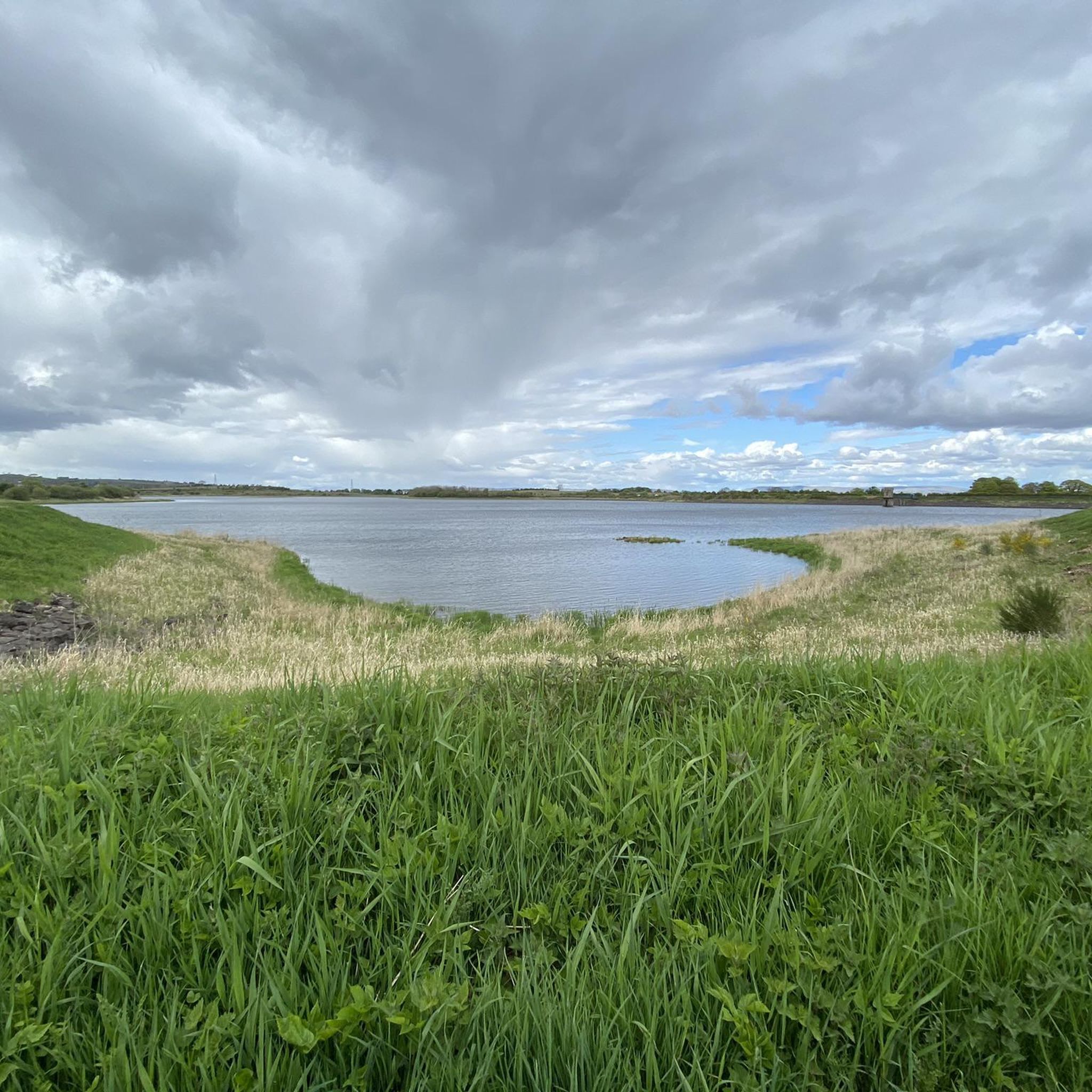
Gravel bike trails Thornliebank offer access to varied landscapes on the boundary of East Renfrewshire, providing a diverse environment for outdoor activities. The region features a mix of open country roads, areas with reservoirs, and the striking presence of a wind farm. Many routes incorporate both paved paths and more demanding surfaces, ideal for gravel bikes. This area serves as a gateway to challenging and scenic routes, often including significant elevation gains.
Best gravel bike trails around Thornliebank
- The most…
Last updated: July 17, 2026
4.3
(7)
70
riders
56.7km
03:11
560m
560m
Hard gravel ride. Very good fitness required. Mostly paved surfaces. Suitable for all skill levels.
4.4
(7)
49
riders
Hard gravel ride. Very good fitness required. Mostly paved surfaces. Suitable for all skill levels.

Sign up for free
25
riders
103km
07:16
1,260m
1,260m
Hard gravel ride. Very good fitness required. Mostly paved surfaces. Suitable for all skill levels.
17
riders
58.4km
03:31
660m
660m
Hard gravel ride. Very good fitness required. Mostly paved surfaces. Suitable for all skill levels.
4.5
(2)
12
riders
Hard gravel ride. Very good fitness required. Mostly paved surfaces. Suitable for all skill levels.
Get access to more routes and recommendations from other explorers.
Sign up for free
Already have an account?
Our route recommendations are based on thousands of hikes, rides, and runs completed by other people on komoot.
Start today with a free account
Your next adventure awaits.
Login or Signup
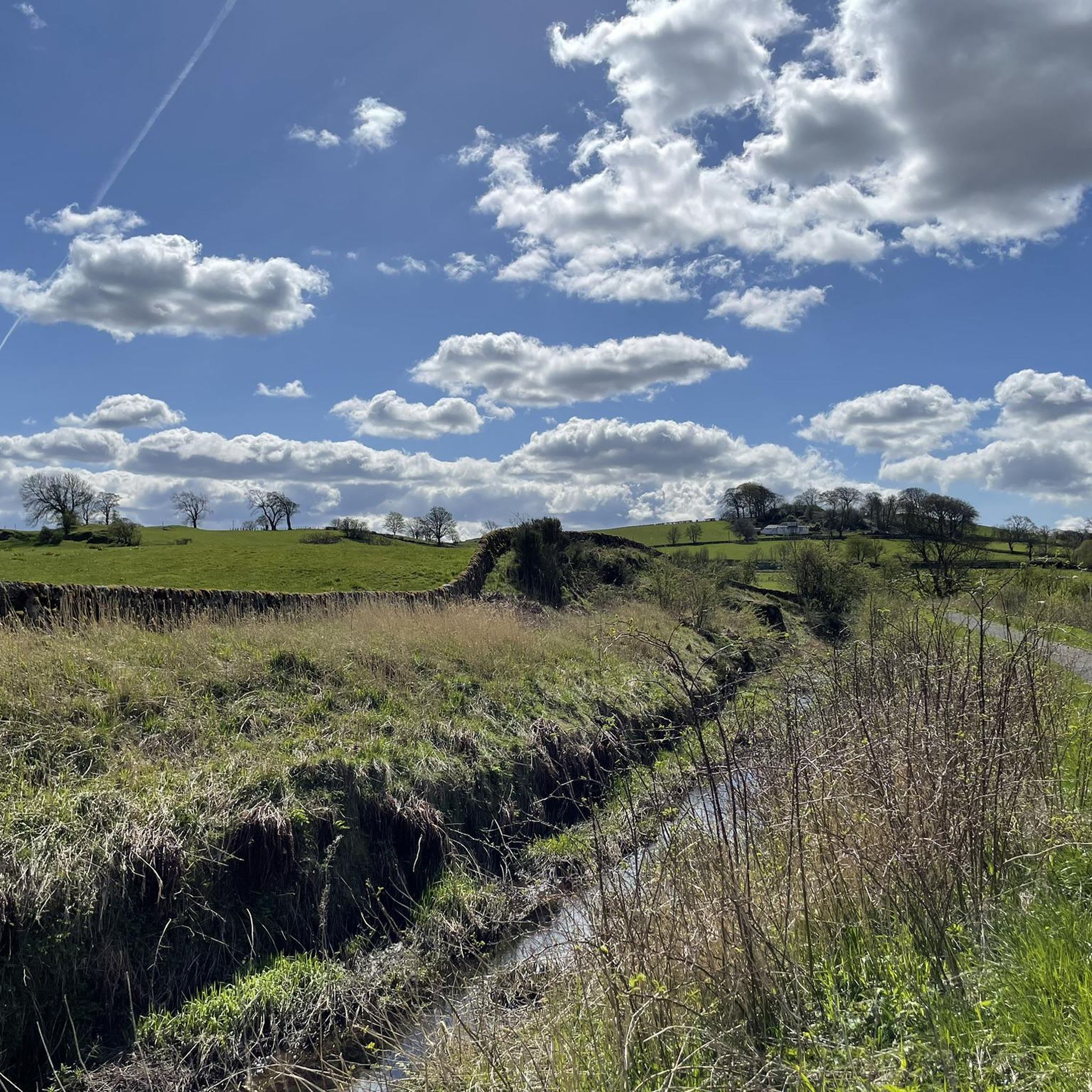
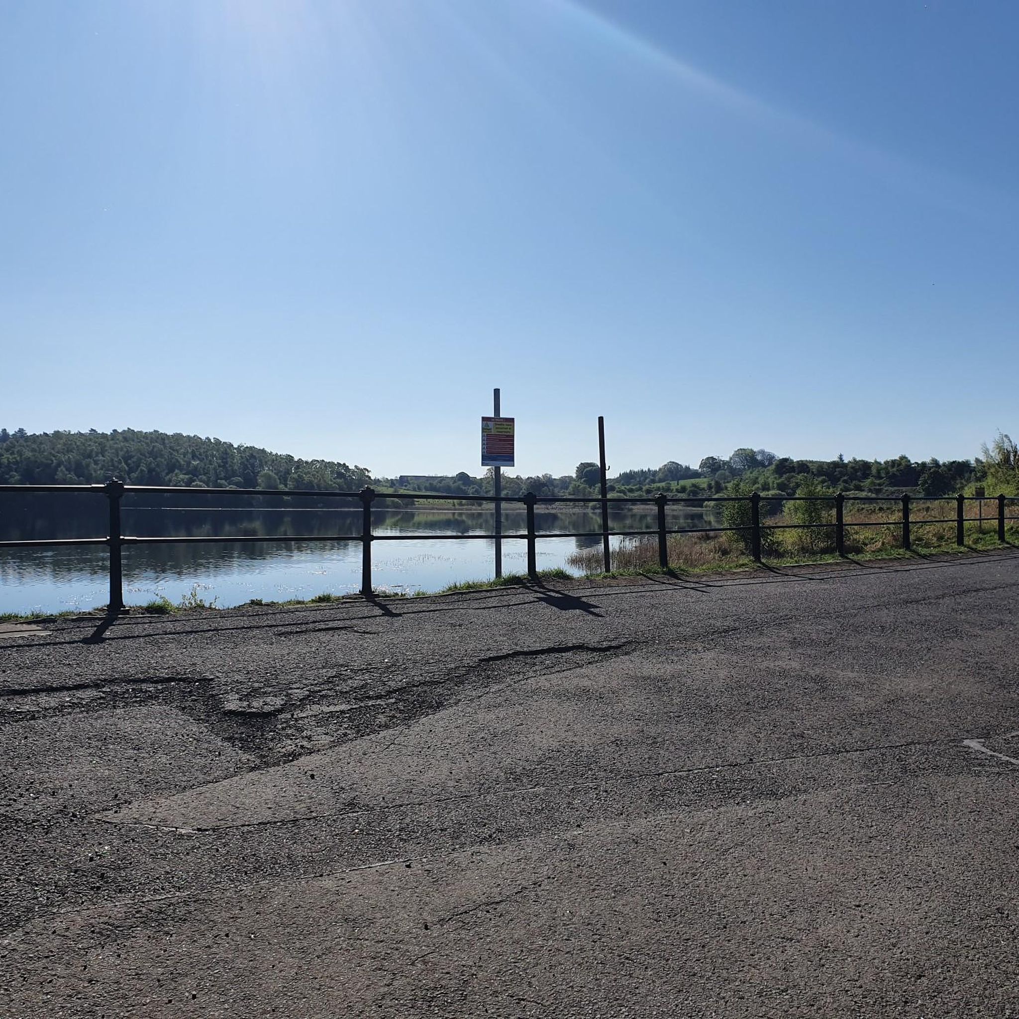
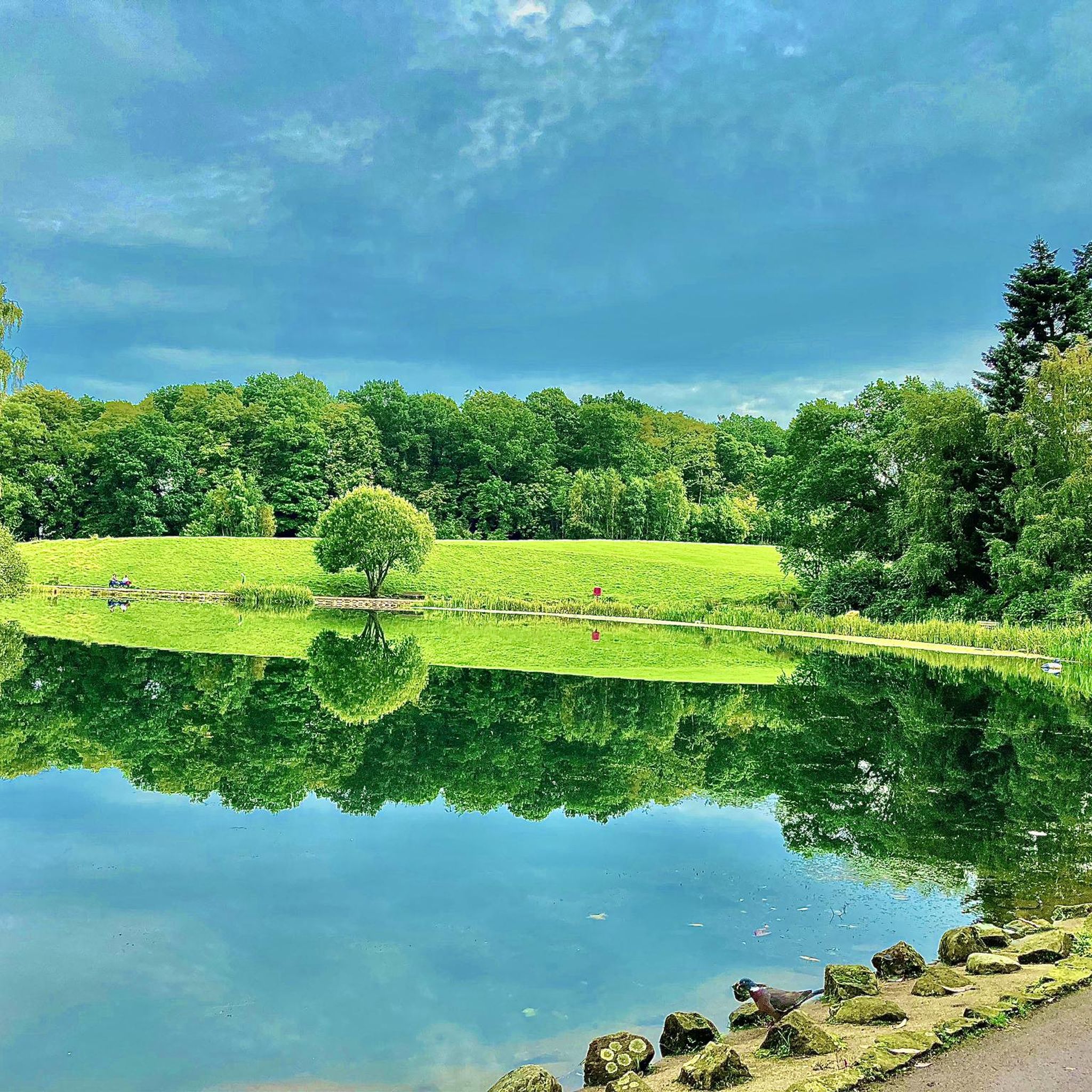
Tips from the Community

Nice challenging cycling through forest and between lakes
0
0

I Live in nearby Eaglesham - On the Whitlees Gravel most weeks 👌. Still making new routes - So many options. Various Entry / Departure points. Get hold of their Map - Because 1 Turbine looks just the other Hundred and how many 😉🚴🏽♂️Frenchie
0
0

Beautiful smooth gravel surface. Steep in sections. Really enjoyed a s a descent!
0
0


One of the most interesting bridges I've ever seen—in my opinion, an architectural masterpiece, magnificent..👍👍
1
0
Cycling along a canal has always been our thing... The old towpaths are being integrated into the cycle paths, which for us cyclists means always cycling along the water.
0
0

The ruined remains of Lennox Castle. Originally built in ~1840 as a private property it was sold to The Glasgow Corporation (predecessor to the City Council) in 1927 and turned into a hospital for those with learning difficulties. In the 1940's-60's it also operated as a maternity home, and was the birth place of singer Lulu. It closed in 2002 and unfortunately was subject to a fire in 2008 which left it in its current state.
1
0

Frequently Asked Questions
How many gravel bike trails are available around Thornliebank?
There are 30 gravel bike routes available around Thornliebank, offering a diverse range of experiences for cyclists. These routes are highly rated by the komoot community, with an average score of 4.4 stars.
What kind of terrain can I expect on gravel bike routes in Thornliebank?
Gravel biking in Thornliebank features varied landscapes, including open country roads, areas with reservoirs, and the striking presence of a wind farm. Routes often combine paved paths with more demanding surfaces, making them ideal for gravel bikes. You'll encounter challenging climbs and picturesque trails throughout the region.
Are there any advanced gravel bike routes for experienced riders?
Yes, Thornliebank is known for its challenging routes. Out of the 30 available, 20 are classified as difficult, requiring very good condition and advanced riding technique. An example is the River Kelvin – Aberfoyle Riverside Cycle Path loop from Kelvinhall, a 102.9 km route with over 1200 meters of elevation gain, offering extensive riverside views. You can find more details about this challenging route here.
Are there any family-friendly gravel biking options in Thornliebank?
While many routes are challenging, the area's proximity to parks like Rouken Glen Park and Pollok Country Park offers opportunities for more relaxed cycling. These parks feature woodland walks and trails that can be suitable for families, though specific gravel routes designed for beginners or families might be limited within the main gravel network. It's best to check individual route descriptions for suitability.
What natural features or landmarks can I see along the gravel trails?
Many routes pass by significant natural features. For instance, the Whitelee Wind Farm – Scenic Rural Road loop from Crossmyloof takes you past the impressive Whitelee Wind Farm. You can also find highlights like the Darnley Reservoir Pavilion and Boating Pond, Rouken Glen Park near some routes. The region also boasts natural monuments such as the Linn Park Waterfall and Craigie Linn Waterfall, which are worth exploring.
Are there any circular gravel bike routes around Thornliebank?
Yes, many of the gravel routes in Thornliebank are designed as loops. For example, the Eaglesham Ford – The Heron Farm Shop & Café loop from Busby is a 58.4 km circular trail that takes you through rural landscapes. You can explore this route here.
Where can I find cafes or pubs near the gravel biking trails?
The Eaglesham Ford – The Heron Farm Shop & Café loop from Busby specifically mentions 'The Heron Farm Shop & Café' in its name, indicating a potential stop along that route. Given Thornliebank's proximity to Glasgow and surrounding towns, you'll find various cafes and pubs in local villages and towns that can serve as refreshment stops before or after your ride.
What do other gravel bikers enjoy most about Thornliebank?
The area is highly rated by the komoot community, with an average score of 4.4 stars from over 60 reviews. Reviewers often praise the varied terrain, the challenging climbs, and the picturesque trails that offer a mix of open country roads and natural features like wind farms and reservoirs. Over 600 gravel bikers have used komoot to explore Thornliebank's diverse landscape.
Is there public transport access to the gravel trails in Thornliebank?
Thornliebank is situated on the boundary of East Renfrewshire near Glasgow, suggesting reasonable public transport links to the wider Glasgow area. While specific trailheads might require a short ride from a station, routes like the Bell's Bridge – River Kelvin loop from Exhibition Centre start from locations that are often accessible by public transport in Glasgow. It's advisable to check local bus or train schedules to plan your access to specific starting points.
Are there any long-distance gravel routes available?
Yes, Thornliebank offers several long-distance gravel routes. The River Kelvin – Aberfoyle Riverside Cycle Path loop from Kelvinhall is a significant 102.9 km journey, and the Whitelee Wind Farm – Scenic Rural Road loop from Crossmyloof covers 56.7 km. These routes provide extensive riding opportunities for those looking for longer adventures.
What is the difficulty level of most gravel routes in Thornliebank?
The majority of gravel routes in Thornliebank are considered challenging. Out of 30 routes, 20 are rated as difficult, and 9 are moderate. Only 1 route is classified as easy. This indicates that the area is best suited for riders with some experience and a good level of fitness, as routes often involve significant elevation gains and varied surfaces.
Most popular routes around Thornliebank
Most popular attractions around Thornliebank

Get inspired with the komoot mobile app


Explore more
Browse the best Gravel rides in other regions.
