The best gravel rides around Campsie
3.9
(23)
381
riders
28
rides
Gravel biking around Campsie offers a diverse landscape shaped by millions of years of volcanic activity and glaciation. The region features rolling hills, deep valleys, and dramatic features like basalt cliffs and crags. Extensive trail networks wind through mixed woodlands, heather moorlands, and around scenic lochs and reservoirs, providing varied terrain for gravel cyclists. This unique geology creates a challenging yet rewarding environment for outdoor activities.
Best gravel bike trails around Campsie
- The most popular gravel bike trail is Burncrooks…
Last updated: July 3, 2026
4.3
(3)
53
riders
26.9km
01:48
350m
350m
Moderate gravel ride. Good fitness required. Mostly paved surfaces. Suitable for all skill levels.
4.5
(2)
18
riders
63.0km
04:20
790m
790m
Hard gravel ride. Very good fitness required. Mostly paved surfaces. Suitable for all skill levels.

Sign up for free
3.3
(3)
9
riders
34.0km
02:27
500m
500m
Hard gravel ride. Very good fitness required. Mostly paved surfaces. Suitable for all skill levels.
5.0
(1)
24
riders
31.1km
02:03
410m
410m
Moderate gravel ride. Good fitness required. Mostly paved surfaces. Suitable for all skill levels.
5.0
(1)
15
riders
50.0km
03:29
690m
690m
Hard gravel ride. Very good fitness required. You may need to push your bike for some segments of this route.
Get access to more routes and recommendations from other explorers.
Sign up for free
Already have an account?
Our route recommendations are based on thousands of hikes, rides, and runs completed by other people on komoot.
Start today with a free account
Your next adventure awaits.
Login or Signup
Popular around Campsie
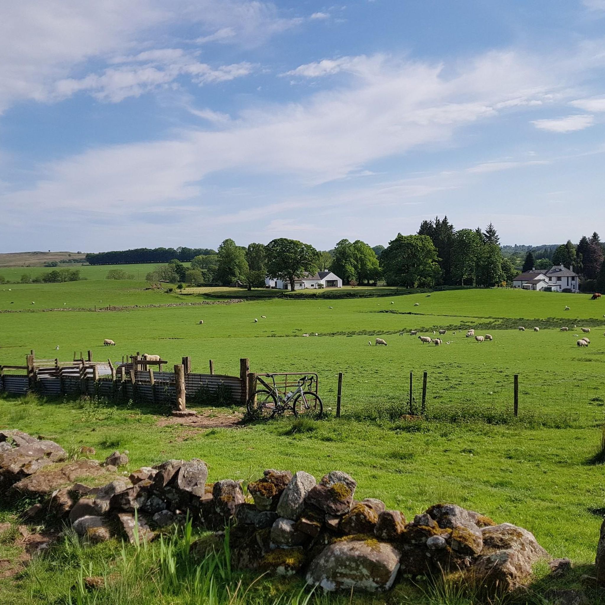
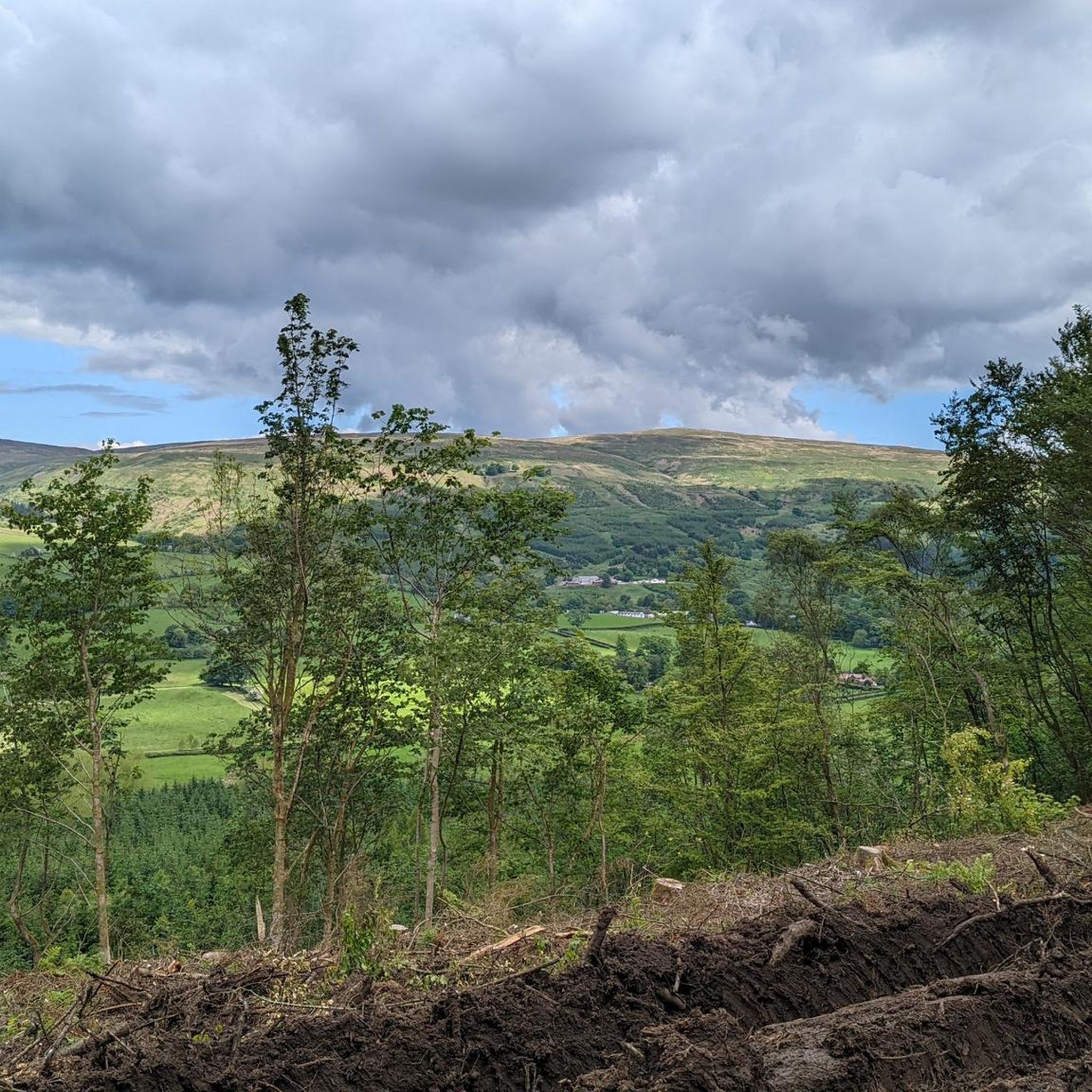
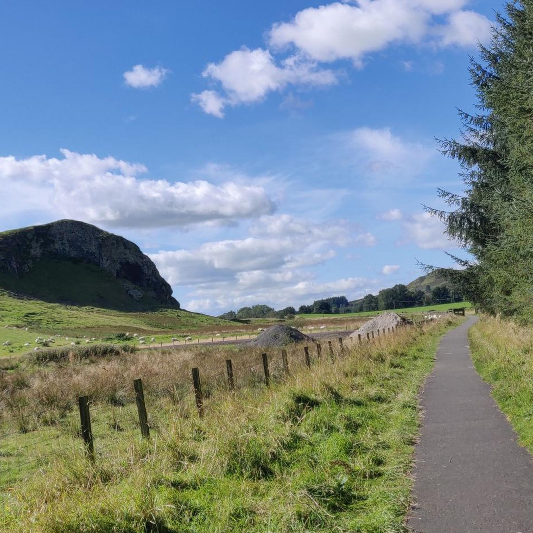
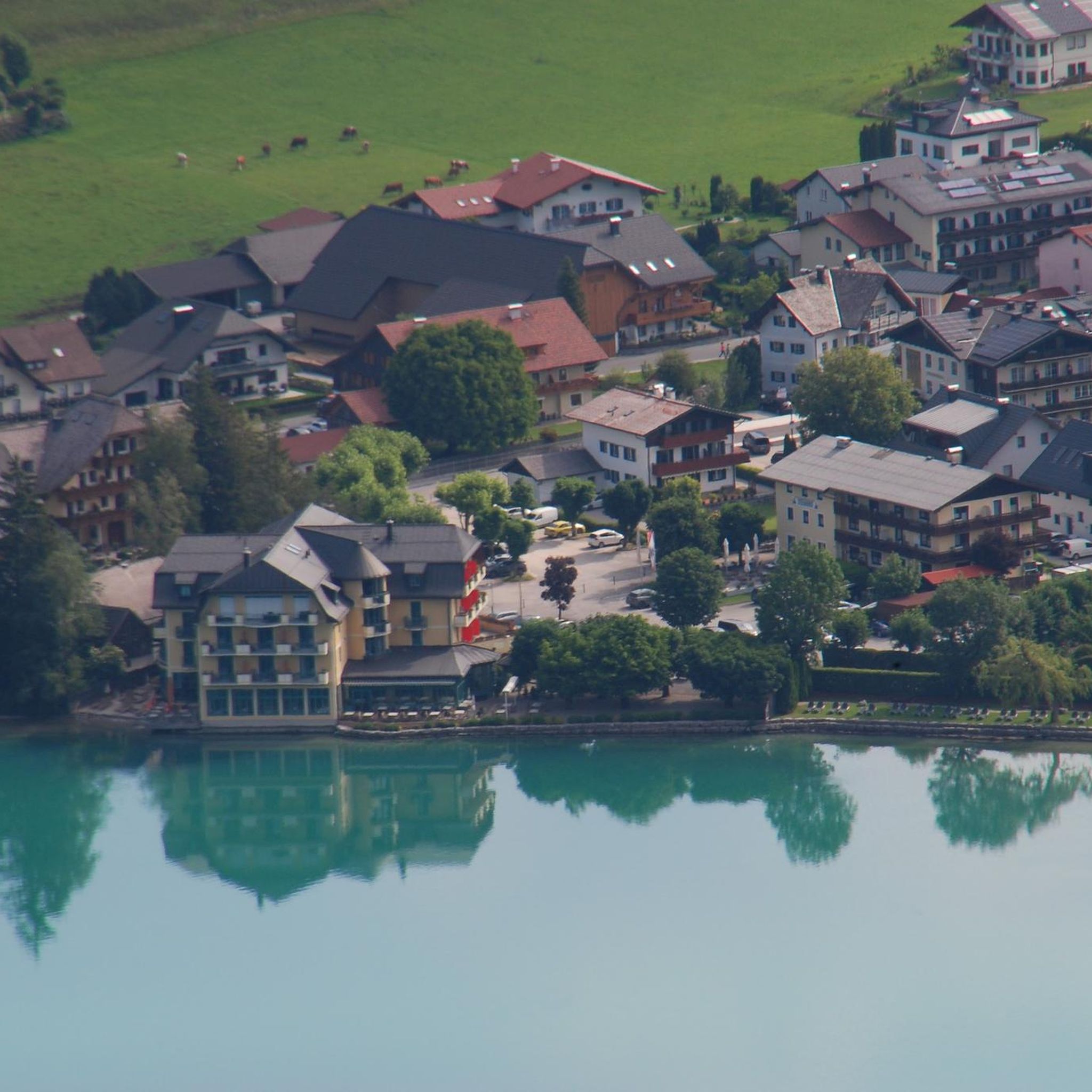


Tips from the Community

Above all, the path through Mugdock-Forest is worth it.
0
0


A gravel track that follows the trail of the Katrine Aqueducts that brings Glasgow's drinking water all the way from the Trossachs to Milngavie. Look out for exposed sections of the aqueducts as you travel along, one section in particular has a date marker of 1892 visible from the track. Stunning views over the Kilpatrick Hills and you can always drop down to Glengoyne distillery for a wee dram on the way past!
1
0
The original Castle on this site was built in the 13th century by the Graham family. The Grahams were a family on the rise and the family were made the Earls of Montrose in 1505. The most famous Graham resident of Mugdock Castle was James Graham (1612-1650) known as The Great Montrose. He was a poet and soldier who fought for the cause of King Charles I during the Wars of The Three Kingdoms (more commonly referred to as The English Civil Wars) and was marked as one of the greatest soldiers of the time. So great was his military fame that King Louis XIV offered him the role as Marshal of France. His success ultimately ran out in 1650 with the loss of The Battle of Carbisdale in Rosshire. Montrose was betrayed by a fellow Scotsman and was ultimately Hung, Drawn and Quartered for his part in the war. His campaigns were immortalised by Sir Walter Scott in his 1819 novel A Legend of Montrose.
0
0


The start of the West Highland Way is very urban, and the first section will feel more like a country park. Good paths and signs will lead you out of the town towards Loch Lomond.
2
1

Nice to see in the video: https://youtu.be/FTvrh28-ojY
1
0

Just off the road. Video by SeeScotland on YouTube. https://www.youtube.com/watch?v=huTD5TCQbiA
0
0
Frequently Asked Questions
How many gravel bike trails are available around Campsie?
Campsie offers a wide selection of gravel biking routes, with over 30 trails to explore. These range from moderate to difficult, catering to various skill levels and preferences.
What kind of terrain can I expect on gravel bike trails in Campsie?
The terrain around Campsie is diverse, shaped by millions of years of volcanic activity and glaciation. You'll encounter rolling hills, deep valleys, and dramatic features like basalt cliffs and crags. Routes often wind through mixed woodlands, heather moorlands, and around scenic lochs and reservoirs, providing a challenging yet rewarding environment for gravel cyclists. Some sections, particularly on more difficult routes, might require pushing your bike.
Are there any family-friendly gravel biking routes in Campsie?
While many routes in Campsie are moderate to difficult, there are options suitable for families or those seeking an easier ride. Look for routes with minimal elevation gain and shorter distances. For example, some sections around Carron Valley Reservoir offer well-maintained tracks that are less strenuous.
What natural features or landmarks can I see along the gravel trails?
Campsie's gravel trails offer stunning natural beauty. You can expect to see features like the dramatic basalt cliffs and crags of the Campsie Fells, scenic lochs such as Craigallian Loch and Carron Valley Reservoir, and lush valleys. The area is also home to diverse ecosystems, including mixed woodlands and heather moorlands, supporting wildlife like red deer and peregrine falcons. Keep an eye out for viewpoints like Meikle Bin Summit or Earl's Seat Summit for panoramic views.
Are there any circular gravel bike routes in Campsie?
Yes, many of the gravel bike routes in Campsie are designed as circular loops, allowing you to start and finish at the same point. A popular example is the View of Glasgow – Mugdock Castle loop from Hillfoot, which offers a scenic circular ride.
What is the best time of year to go gravel biking in Campsie?
The Campsie Fells offer gravel biking opportunities throughout the year, but spring and autumn often provide the most pleasant conditions with milder temperatures and beautiful scenery. Summer can be great, but be prepared for potentially warmer weather. Winter rides are possible but require appropriate gear for colder, wetter conditions, and some trails might be more challenging due to mud or ice.
Where can I find parking for gravel bike trails in Campsie?
Many trailheads around Campsie, particularly near popular starting points like Milngavie, Hillfoot, or Balfron, offer designated parking areas. It's advisable to check specific route details for parking information before you set out.
Can I bring my dog on the gravel biking routes?
Many trails in the Campsie Fells are dog-friendly, but it's important to keep your dog under control, especially when passing through areas with livestock or wildlife. Always check local signage for any specific restrictions and ensure your dog is fit enough for the distance and terrain.
Are there any cafes or pubs along the gravel biking routes in Campsie?
While the trails themselves often traverse natural landscapes, you'll find cafes and pubs in the villages and towns surrounding the Campsie Fells, such as Milngavie, Balfron, and Hillfoot. These make for great starting or finishing points, or mid-ride refreshment stops. For example, the Burncrooks Reservoir – Carbeth Cabin with red accents loop from Balfron passes near Carbeth Cabin, which is a known stop.
What do other gravel bikers enjoy most about cycling in Campsie?
The gravel biking experience in Campsie is highly rated by the komoot community, with an average score of 3.96 stars from over 22 reviews. Reviewers often praise the diverse and engaging landscape, the variety of terrain from woodlands to moorlands, and the scenic loops around lochs and reservoirs. The challenging yet rewarding nature of the routes, with options for different ability levels, is also frequently highlighted.
What is the typical elevation gain on Campsie gravel routes?
Elevation gain on Campsie gravel routes varies significantly depending on the trail's difficulty and length. For instance, a moderate route like the Burncrooks Reservoir – Craigallian Loch loop from Milngavie has an elevation gain of around 344 meters. More difficult routes, such as the longer Burncrooks Reservoir – Craigallian Loch loop from Milngavie, can feature over 780 meters of climbing, offering a significant challenge.
Can I reach Campsie gravel trails using public transport?
Yes, several starting points for Campsie's gravel trails are accessible via public transport. Towns like Milngavie and Hillfoot, which serve as popular trailheads, have train stations or bus links, making it possible to reach the area without a car. Always check local transport schedules for the most up-to-date information.
Most popular routes around Campsie
Most popular attractions around Campsie

Get inspired with the komoot mobile app


Explore more
Browse the best Gravel rides in other regions.
